


Buchauer Sattel to Grabneralm
Accessible by public transport- Public bus (within 15 minutes walking distance from starting point)
The tour in numbers
Route
4,5 km
Uphill
533 hm
Downhill
4 hm
Highest point
1391 m
A varied hike with a pleasant ascent and a rewarding stop at the Grabneralm. Perfect for anyone looking to enjoy nature, wide views, and a relaxed introduction to the Haller Mauern.
From Buchauer Sattel, we set off on a well-maintained trail toward the Grabneralm. Meadows, forest sections, and first panoramic views make for an enjoyable approach, with the managed alpine pasture offering the perfect place for a well-earned break.
Best season
January
February
March
April
May
June
July
August
September
October
November
December
More information
Parking space at Buchauer Saddle is subject to a fee
From the parking area at Buchauer Sattel (861 m), we head off in a north-westerly direction. We first walk across meadows, then enter the forest.
We follow the marked trail no. 636 toward the Grabneralm. The path climbs steadily and cuts across the forest road several times – great for keeping the hike varied and easy on the knees.
The last two kilometers then follow the forest road all the way.
After about 2.5 hours, we reach the Grabneralm (1,395 m).
Time for a break. Time for regional flavors. Time to stay a little longer if we feel like it.
Sturdy hiking boots or good trekking shoes
Hiking backpack
Water bottle
First aid kit including blister plasters
Hiking map and smartphone
Snacks
Sunglasses
Sunscreen
You should also be well prepared for changeable weather.
Packing your backpack correctly makes things much easier:
Pack heavy items first. Your water bottle should always be easily accessible in a side pocket. Everything you need frequently, such as sunglasses, your smartphone, or hiking map, should be packed on top.
Hiking backpack
Water bottle
First aid kit including blister plasters
Hiking map and smartphone
Snacks
Sunglasses
Sunscreen
You should also be well prepared for changeable weather.
Packing your backpack correctly makes things much easier:
Pack heavy items first. Your water bottle should always be easily accessible in a side pocket. Everything you need frequently, such as sunglasses, your smartphone, or hiking map, should be packed on top.
With the Verbundlinie BusBahnBim app, finding timetable information has never been easier: all bus, train, and tram connections in Austria can be searched for by entering locations and/or addresses, stops, or important points. The app is available as a free app for smartphones (Android, iOS) on Google Play and in the App Store.
In the Gesäuse region, you're mobile even without your own car during the summer months. Just one call to +43 3613 2100099 is all it takes: within operating hours, the Gesäuse shared taxi will take you to any destination in the Gesäuse — with no fixed timetable or stops.
In the Gesäuse region, you're mobile even without your own car during the summer months. Just one call to +43 3613 2100099 is all it takes: within operating hours, the Gesäuse shared taxi will take you to any destination in the Gesäuse — with no fixed timetable or stops.
Gesäuse Tourism Association
Hauptstraße 35, 8911 Admont, Austria
t: +43 3613 2116010
www.gesaeuse.at
Email: info@gesaeuse.at
Hauptstraße 35, 8911 Admont, Austria
t: +43 3613 2116010
www.gesaeuse.at
Email: info@gesaeuse.at
Map & downloads
Gallery
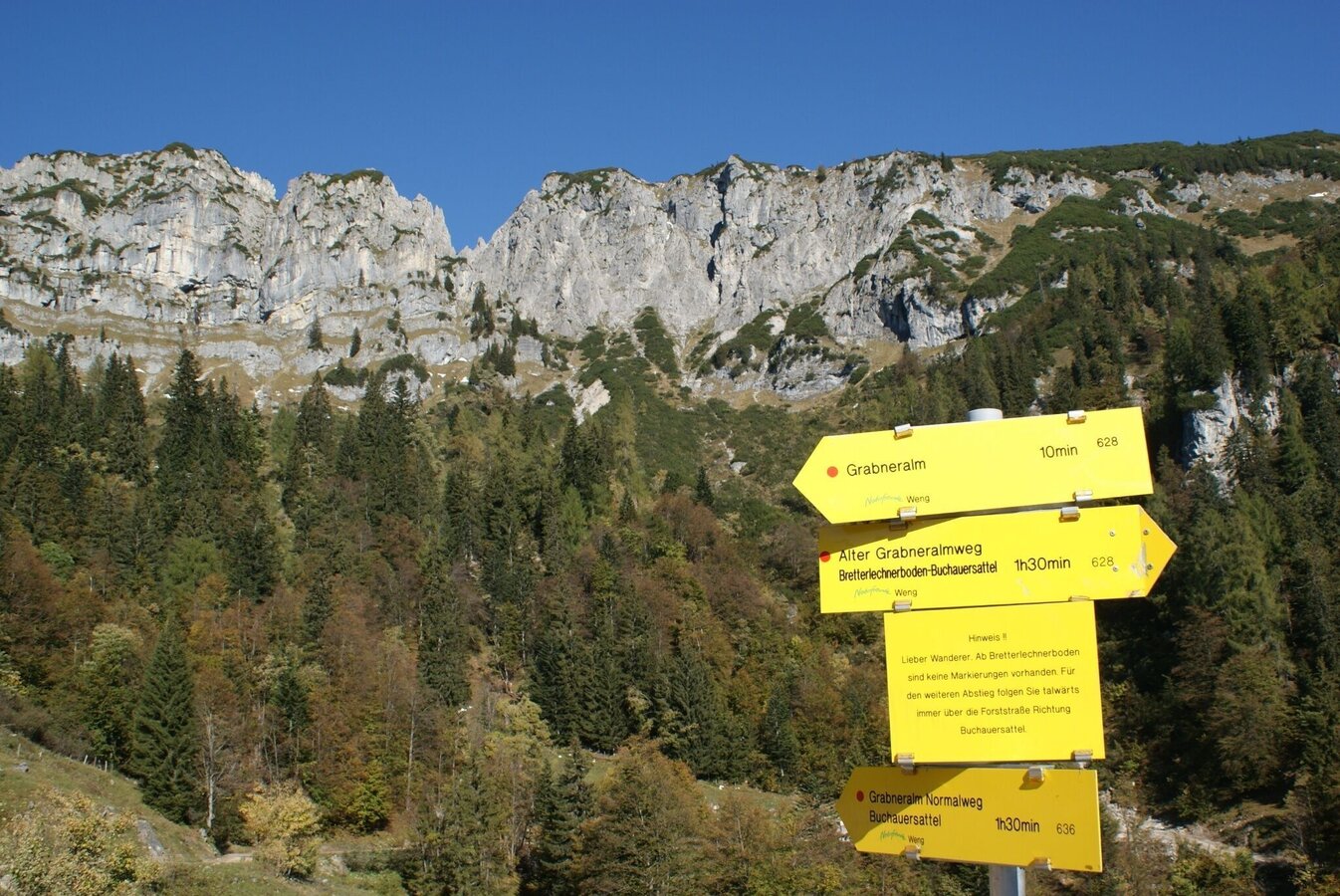
Wegweiser bei der Grabneralm (im Hintergrund die Jungfernscharte, die man bei der Überschreitung überwinden muss) | © TV Gesäuse | Tourismusverband Gesäuse
1/11
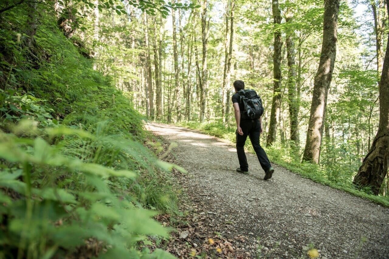
Aufstieg auf die Grabneralm | © TV Gesäuse | Tourismusverband Gesäuse
2/11
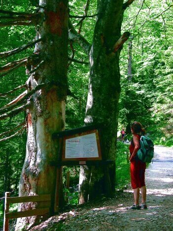
almlehrpfad grabnerstein_img_1209833 | © Gesäuse - Admont | Christian Scheucher
3/11
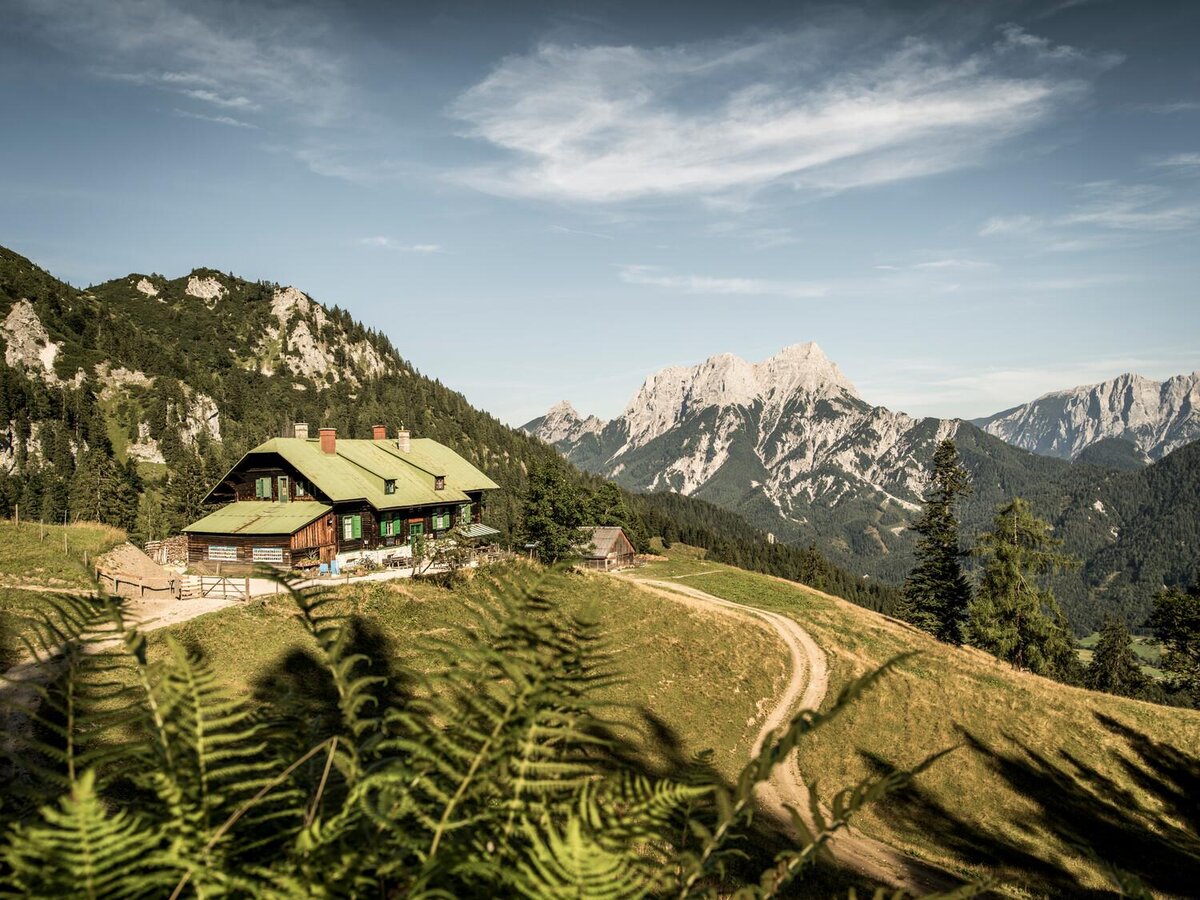
Grabneralm | © Stefan Leitner | TV Gesäuse
4/11
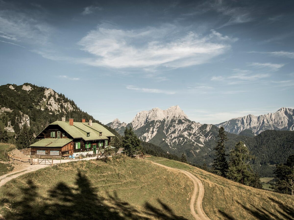
Grabneralm | © Stefan Leitner
5/11
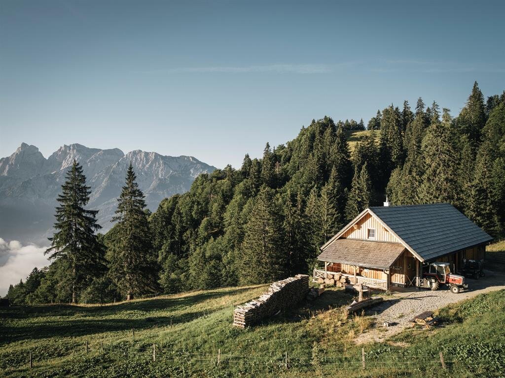
Sommerresidenz der Ziegenherde auf der Grabneralm | © Stefan Leitner
6/11
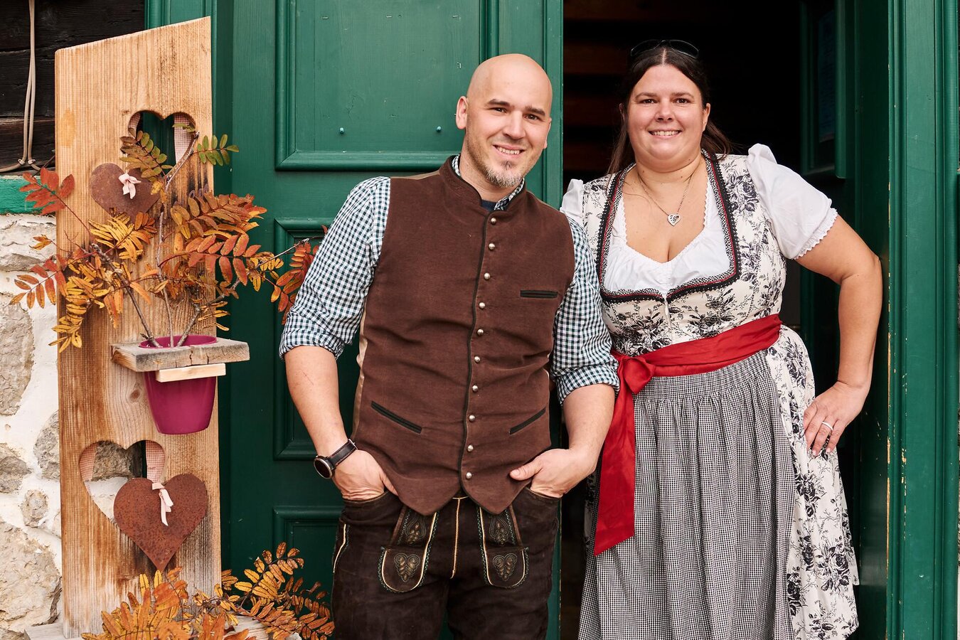
Christina und Philipp auf der Grabneralm / Gesäuse | © Stefan Leitner | Stefan Leitner
7/11
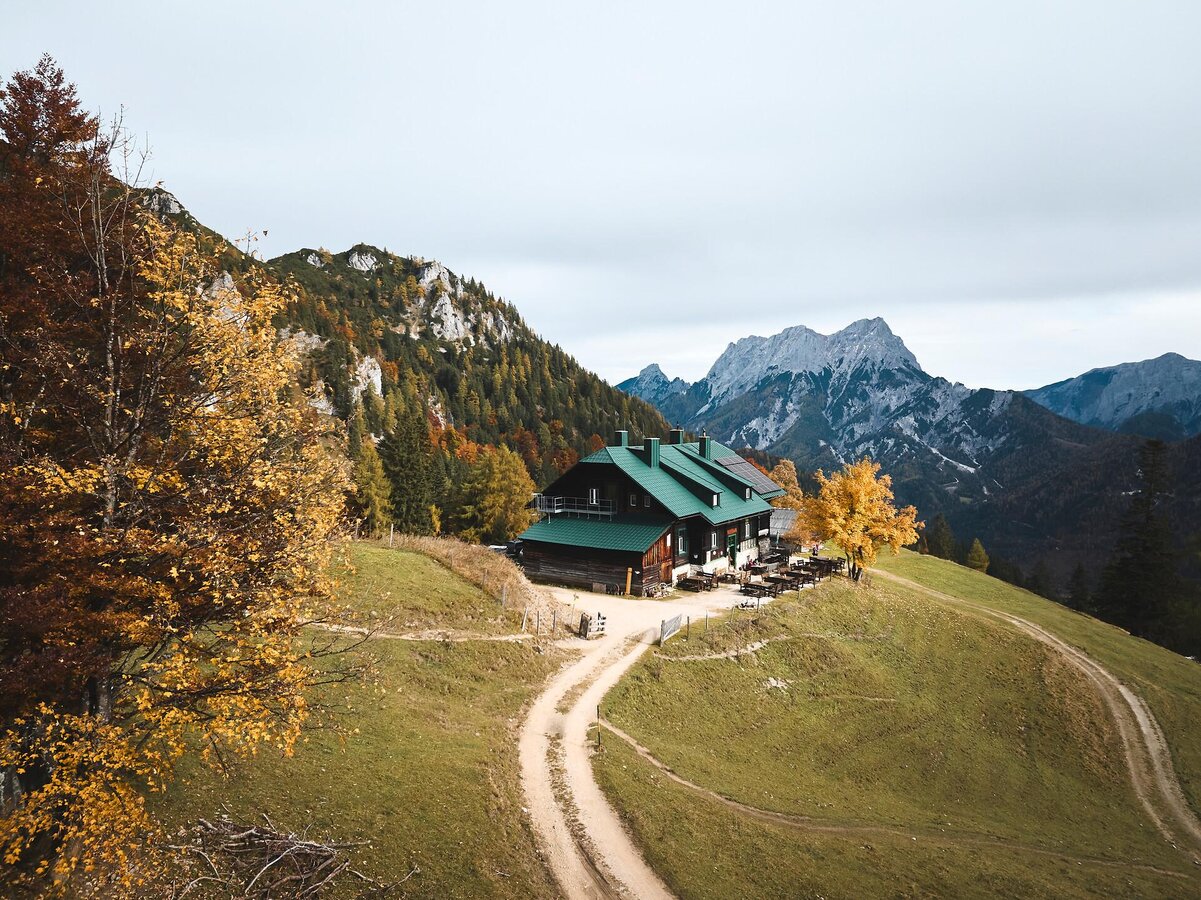
Grabneralm im Gesäuse I Steiermark | Stefan Leitner
8/11
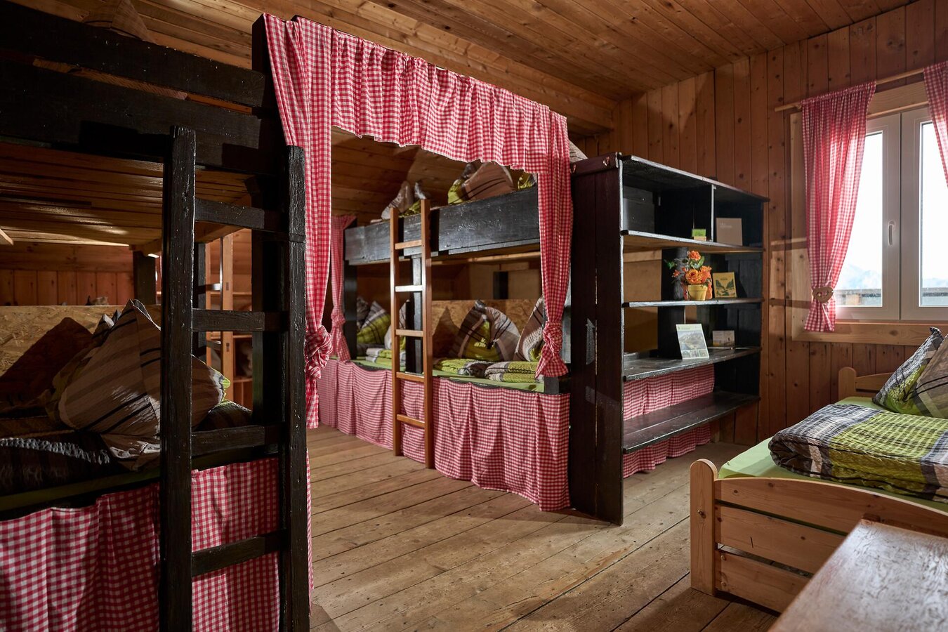
Übernachten Grabneralm I Gesäuse I Steiermark | © Stefan Leitner | Stefan Leitner
9/11
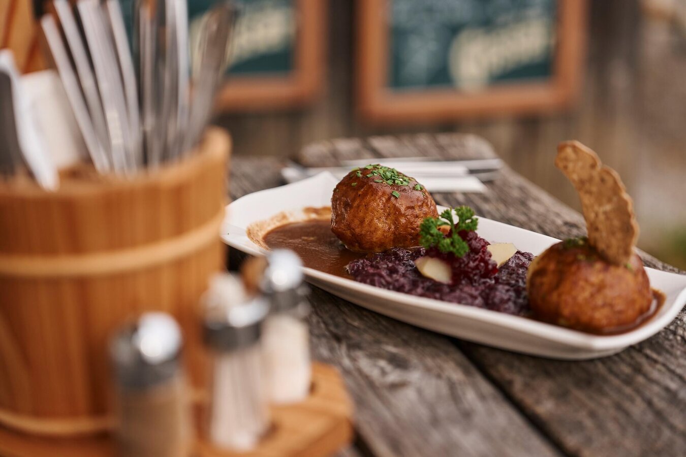
Kulinarik auf der Grabneralm I Gesäuse I Styria | © Stefan Leitner | Stefan Leitner
10/11
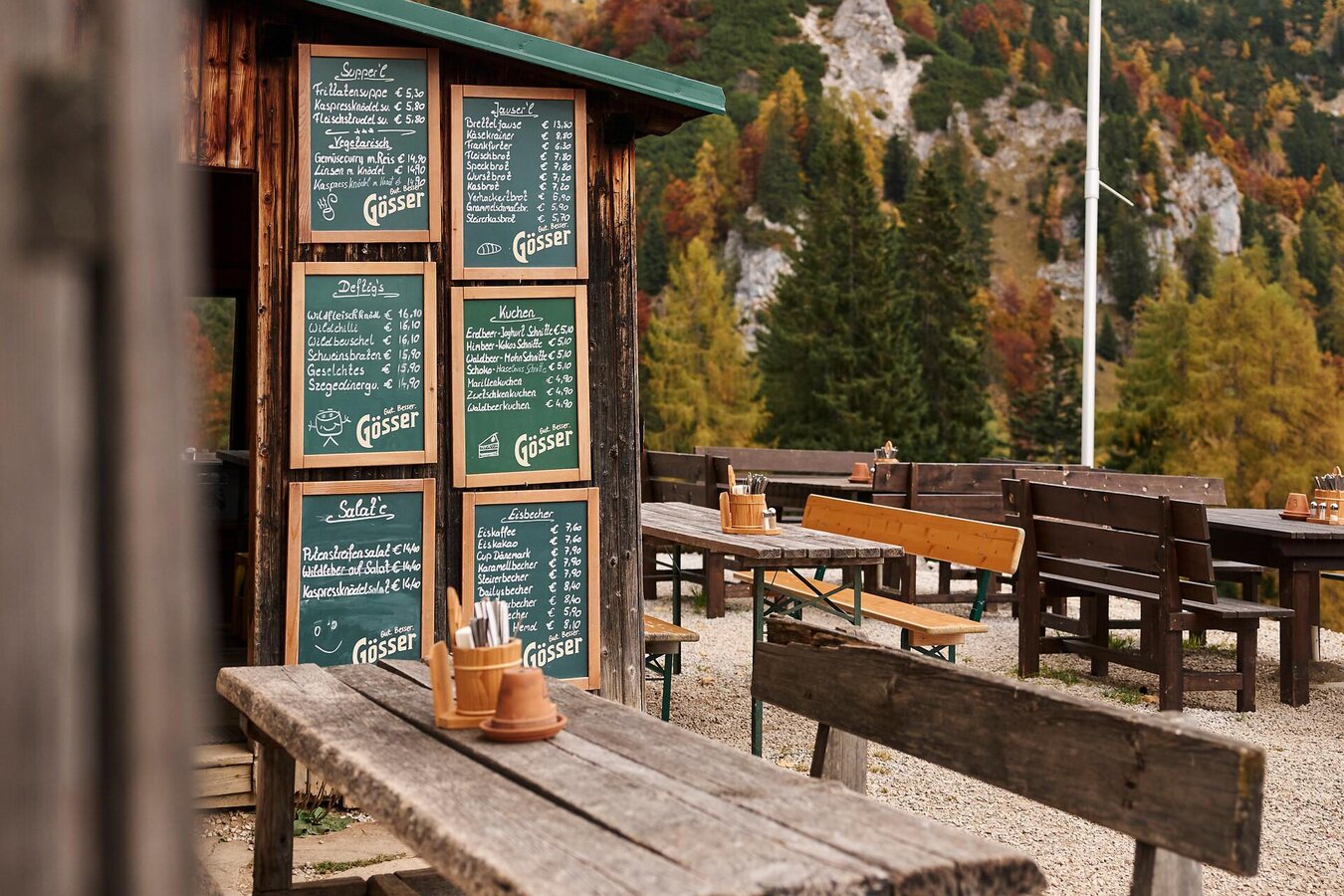
Wandern auf die Grabneralm I Gesäuse | © Stefan Leitner | Stefan Leitner
11/11

What the weather will be like Admont (635m)
Today, 03.10.2026
Some clouds in the morning, lateron much sunshine and hardly any cloudsMorning

6°C
sr.Regenwahrscheinlichkeit
0%
sr.Windstärke
0 km/h
Noon

20°C
sr.Regenwahrscheinlichkeit
0%
sr.Windstärke
5 km/h
Night
11°C
sr.Regenwahrscheinlichkeit
0%
sr.Windstärke
5 km/h
Tomorrow, 04.10.2026
Dry and sunny throughout the day with hardly any clouds.Morning
4°C
sr.Regenwahrscheinlichkeit
0%
sr.Windstärke
0 km/h
Noon
19°C
sr.Regenwahrscheinlichkeit
0%
sr.Windstärke
0 km/h
Night
12°C
sr.Regenwahrscheinlichkeit
0%
sr.Windstärke
0 km/h
Forecast
05.10.2026

6°C
19°C
06.10.2026
7°C
21°C
07.10.2026
7°C
21°C
