


From Mautern to the Bremstein
Accessible by public transport- Train (within 15 minutes walking distance from starting point)
- Public bus (within 15 minutes walking distance from starting point)
Characteristics
SkillThe tour in numbers
Level of difficulty
medium
Route
17,9 km
Time
6:15 h
Uphill
1350 hm
Downhill
1350 hm
Highest point
1868 m
The hiking trail to the Bremstein leads uphill near the game park "Der Wilde Berg". You don't feel anything of the hustle and bustle, unless you use the chairlift as an ascent aid. The hike is located in the Erzberg-Leoben region.
The Seckauer Tauern belong to the quieter, natural mountain regions of Austria, which are characterized by many beautiful tours and few managed huts. The hike to the Bremstein, starting from the Liesingtal, falls under the category "short and crisp", as the ascent is relatively steep and thus suitable as a perfect workout for legs and buttocks. Once you have reached the soft ridge and the well-tended alpine pastures, you will be rewarded by a magnificent view into the heart of the Seckau Alps and the opposite Eisenerz Alps. If you want to shorten the tour a bit, you can use the chairlift at the game park "Der Wilde Berg" as an ascent aid and thus save yourself about 350 meters in altitude in the ascent. The price for the ascent is 5 euros per adult (as of August 2021).
Best season
January
February
March
April
May
June
July
August
September
October
November
December
More information
A9 exit Mautern
At the train station in Mautern or several parking possibilities in the village
At the train station in Mautern or several parking possibilities in the village
We start at the train station in Mautern (1), 693 m, and walk along platform 1 parallel to the tracks to the pedestrian underpass. Before we pass through here, we can already see the summit cross of our destination on the left in front of us. After crossing the Liesing bridge, we pass several garages on the right and follow the path to the highway underpass. Via the asphalt road we reach the parking lot "Der Wilde Berg" (2), 714 and orient ourselves at the yellow signpost in the direction of Bremstein / connection Liesingtal-Murtal. From now on the actual hike begins. We follow the gravel road about 1.3 km uphill to the entrance. The trail leads uphill through the forest, whereby we cross the road several times or walk along it for a bit. At a beautiful vantage point, the Liesingtal valley lies before us with the peaks of the Eisenerzer Alps towering behind it. At an altitude of about 1500 meters, the path leads along a wooded ridge, paying close attention to the markings here. After reaching the open alpine pastures, we see the Bremstein in front of us on the right. The trail leads left uphill to the Mitterkogel (3), 1847 m, with a small summit cross, and subsequently it goes comfortably downhill along the ridge to the Antonikreuz, 1753 meters. Now still the counter ascent and we reach the Bremstein (4), 1868 m, which is rich in views. The way back is via the ascent route.
For a conflict-free coexistence on alpine pastures and meadows, it is important to observe a few rules, especially when traveling with dogs. (Source: www.sichere-almen.at - 06/2021)
- Avoid contact with grazing animals, do not feed them, keep a safe distance!
- Keep calm, do not frighten grazing animals!
- Mother cows protect their calves. Avoid encounters between mother cows and dogs!
- Always keep dogs under control and on a short leash. If an attack by a grazing animal is foreseeable: Immediately unleash!
- Do not leave hiking trails on alpine pastures and meadows!If grazing animals block the way, avoid them as far as possible!
- When grazing animals approach: Stay calm, do not turn your back, avoid the animals!
- Leave the grazing area quickly at the first sign of restlessness of the animals!
- Fences must be respected!
- If there is a gate, use it, then close it well and cross the pasture quickly!
- Treat the people working here, nature and the animals with respect!
A few tips for correct and fair behavior in the forest: (Source: www.bundesforste.at - 6/2021)
- Hikers should avoid visits to the forest about 1.5 hours before sunrise and after sunset, as wildlife is especially active during this time.
- Plastic bottles, handkerchiefs, cigarette butts & Co have no place in the forest!
- Please make sure that you do not leave any trash in the forest.Camping and making fire - is strictly forbidden in the forest!
- In principle, each person is allowed to collect 2 kg of mushrooms and berries per day for personal use in the forest. It is only forbidden if the forest owner expressly forbids it.
Alpine emergency call: Mountain rescue emergency number: 140 EU emergency call: 112
Weather service: www.zamg.ac.at
Direct link mountain weather Styria: https://www.zamg.ac.at/cms/de/wetter/produkte-und-services/bergwetter/steiermark
- Backpack with rain cover
- Telescopic / hiking polesMountain / hiking boots
- Gloves: waterproof and warmingHeadgear / sunglasses
- Outerwear: Onion layer system, T-shirt, sweater, jacket and winter jacket with hood
- Hiking pants
- Seat pad
- Drinking bottle / thermos flask (on cooler days a warming drink is pleasant)
- Snack
- First aid kit with blister plaster and tick tongs
Other important equipment
- Route description
- Detailed plan of the hike
- Hiking map: For overview a map in scale 1 : 50 000 of the respective region
- GPS device
- mobile phone
There are several places to stop in the center of Mautern. Opening hours and rest days in advance in experience.
With ÖBB from Graz or Liezen to Mautern station.
Timetables and travel information can be found directly at: Österreichischen Bundesbahnen (ÖBB), Steiermärkischen Landesbahnen (STLB), www.busbahnbim.at
With the BusBahnBim app of the Verbundlinie, timetable information has never been easier: all bus, train and tram connections in Austria can be queried by entering locations and/or addresses, stops or important points. The app is available as a free app for smartphones (Android, iOS) - on Google Play and in the
Tourismusverband Erzberg-Leoben
Homanngasse 12
8700 Leoben
Phone: +43 3842 48148
office@erzberg-leoben.at
freytag&berndt WK 212, Seetaler Alpen - Seckauer Alpen, Wanderkarte 1:50.000
Map & downloads
Gallery
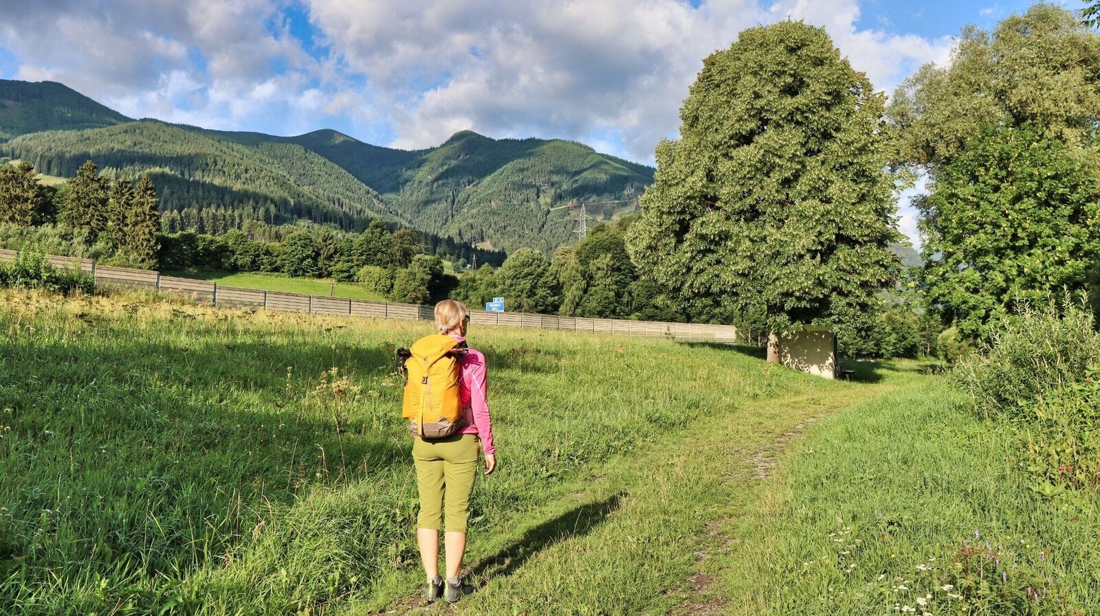
Unser Ziel der Bremstein präsentiert sich in der Ferne | © Weges OG | Weges OG
1/17
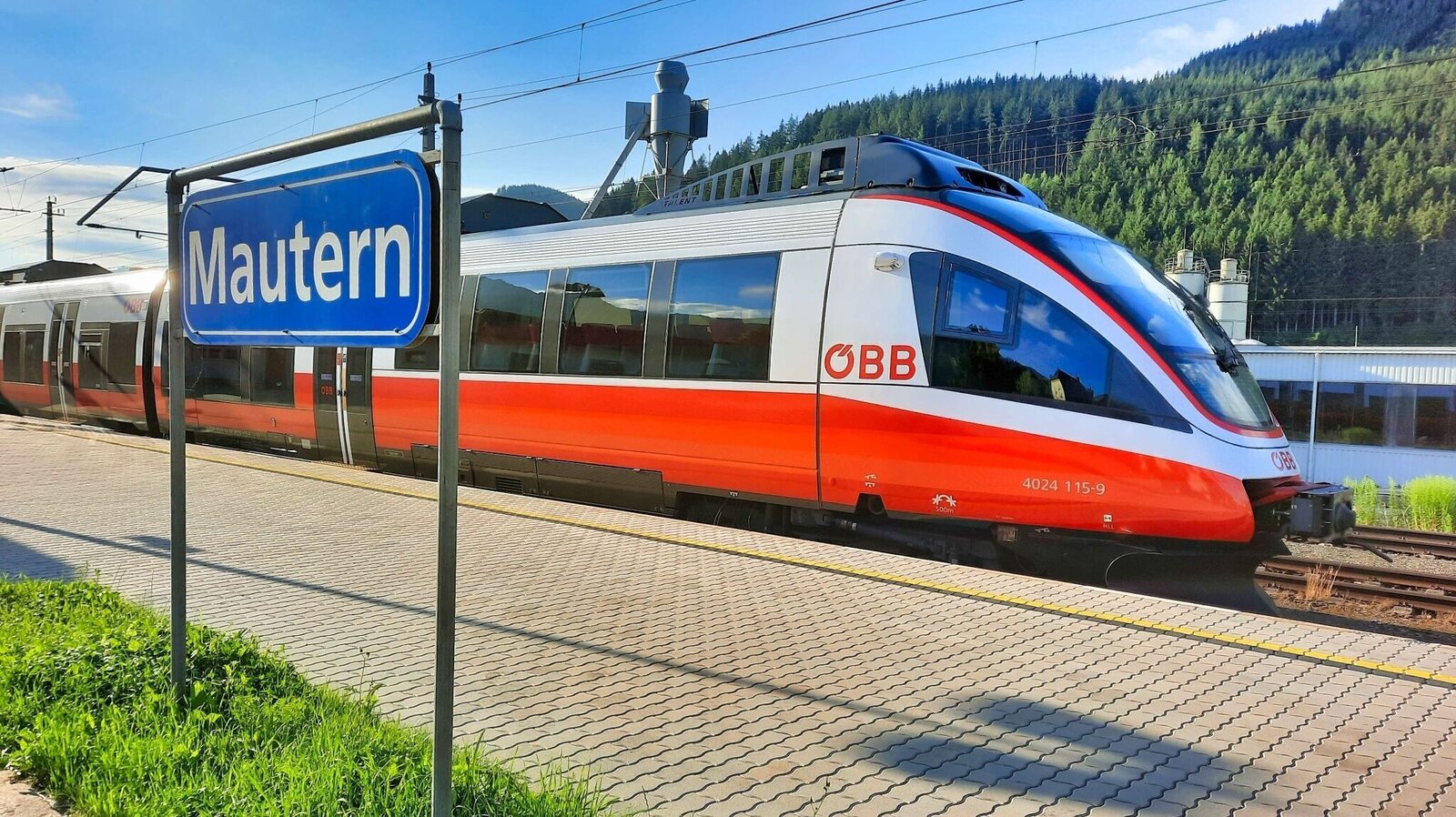
Bahnhof Mautern | © Weges OG | Weges OG
2/17
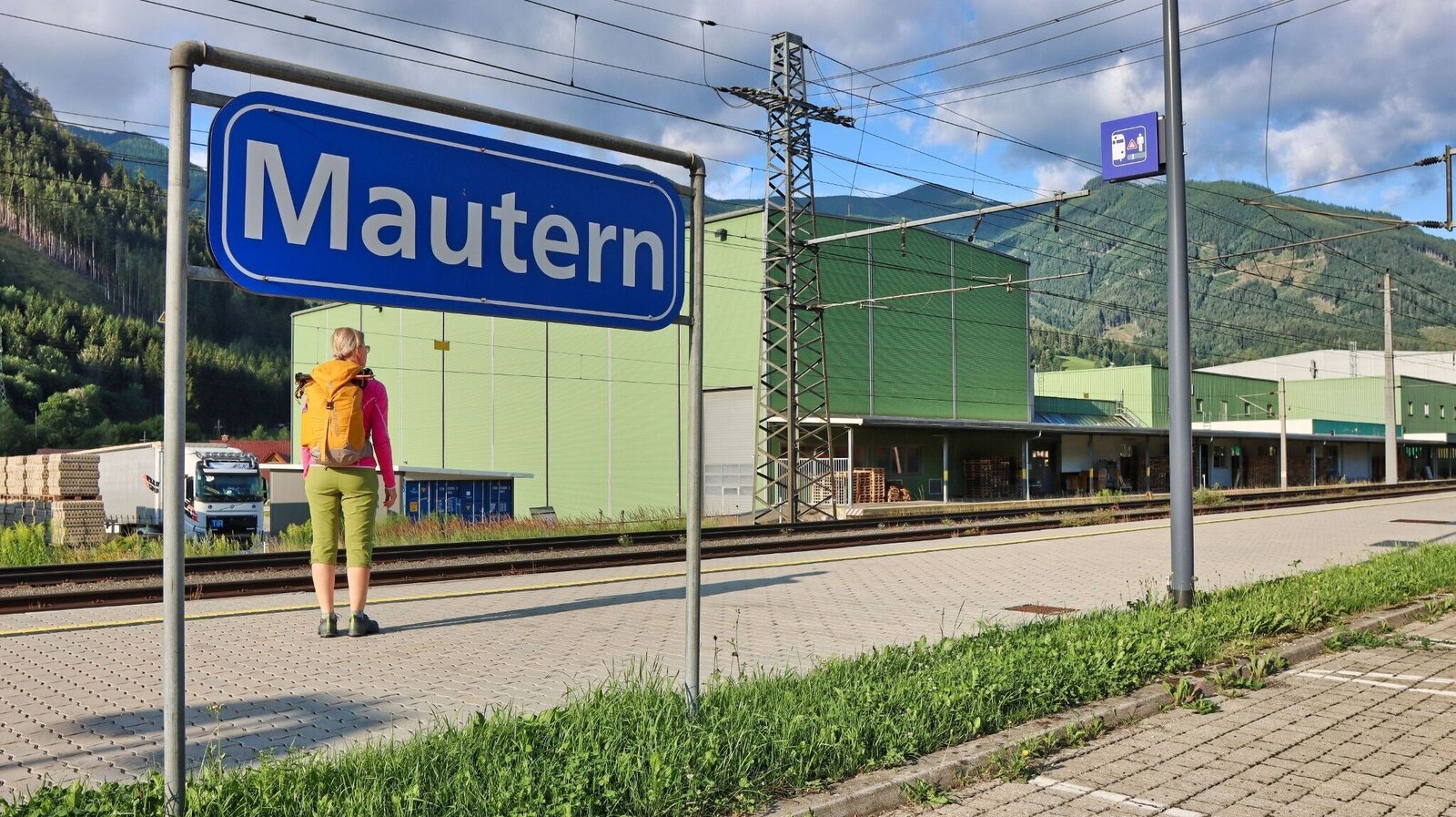
Wir starten beim Bahnhof Mautern | © Weges OG | Weges OG
3/17
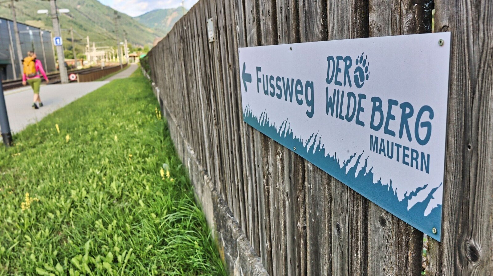
Hinweisschild gleich beim Bahnhof | © Weges OG | Weges OG
4/17
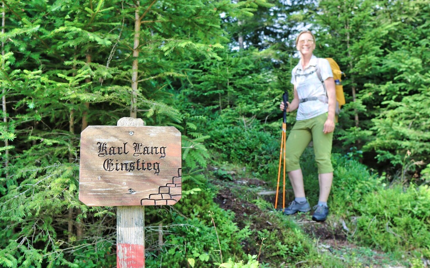
Einstieg Wanderweg | © Weges OG | Weges OG
5/17
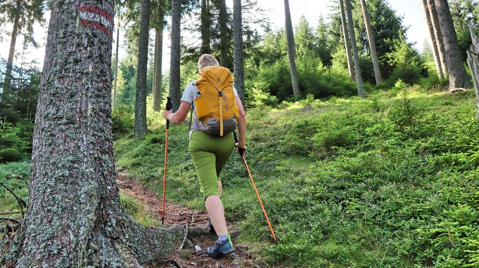
Gut markiert führt der Weg steil bergauf | © Weges OG | Weges OG
6/17
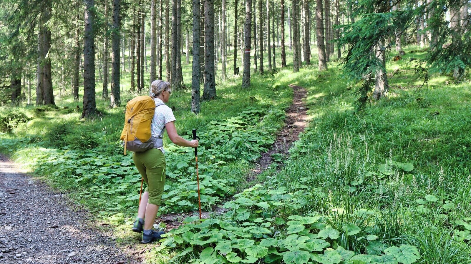
Der Weg führt durch den Wald | © Weges OG | Weges OG
7/17
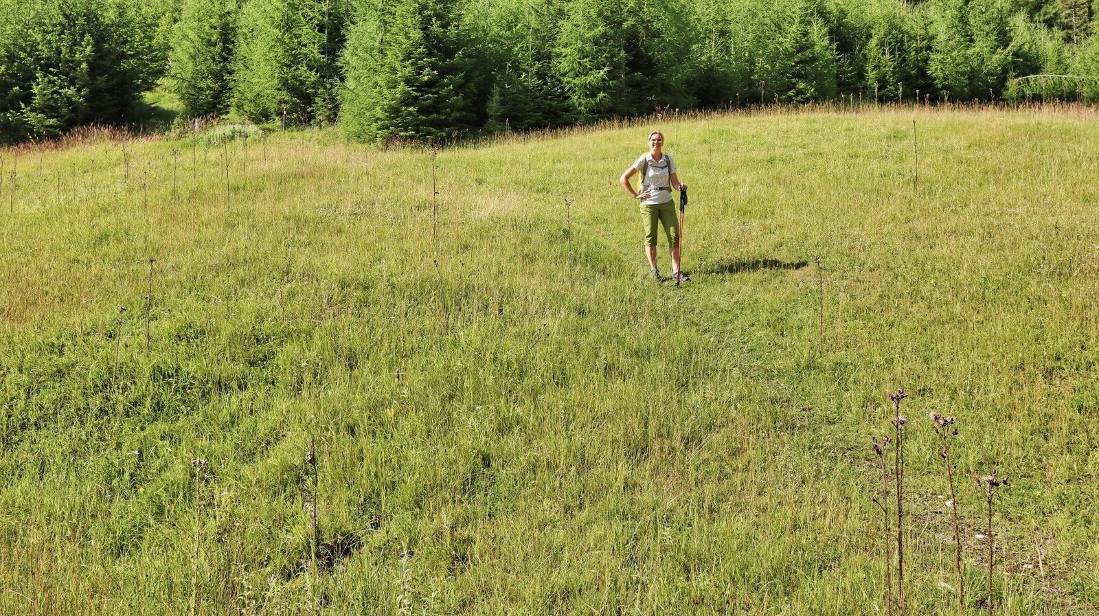
Eine kleine Lichtung zwischendurch | © Weges OG | Weges OG
8/17
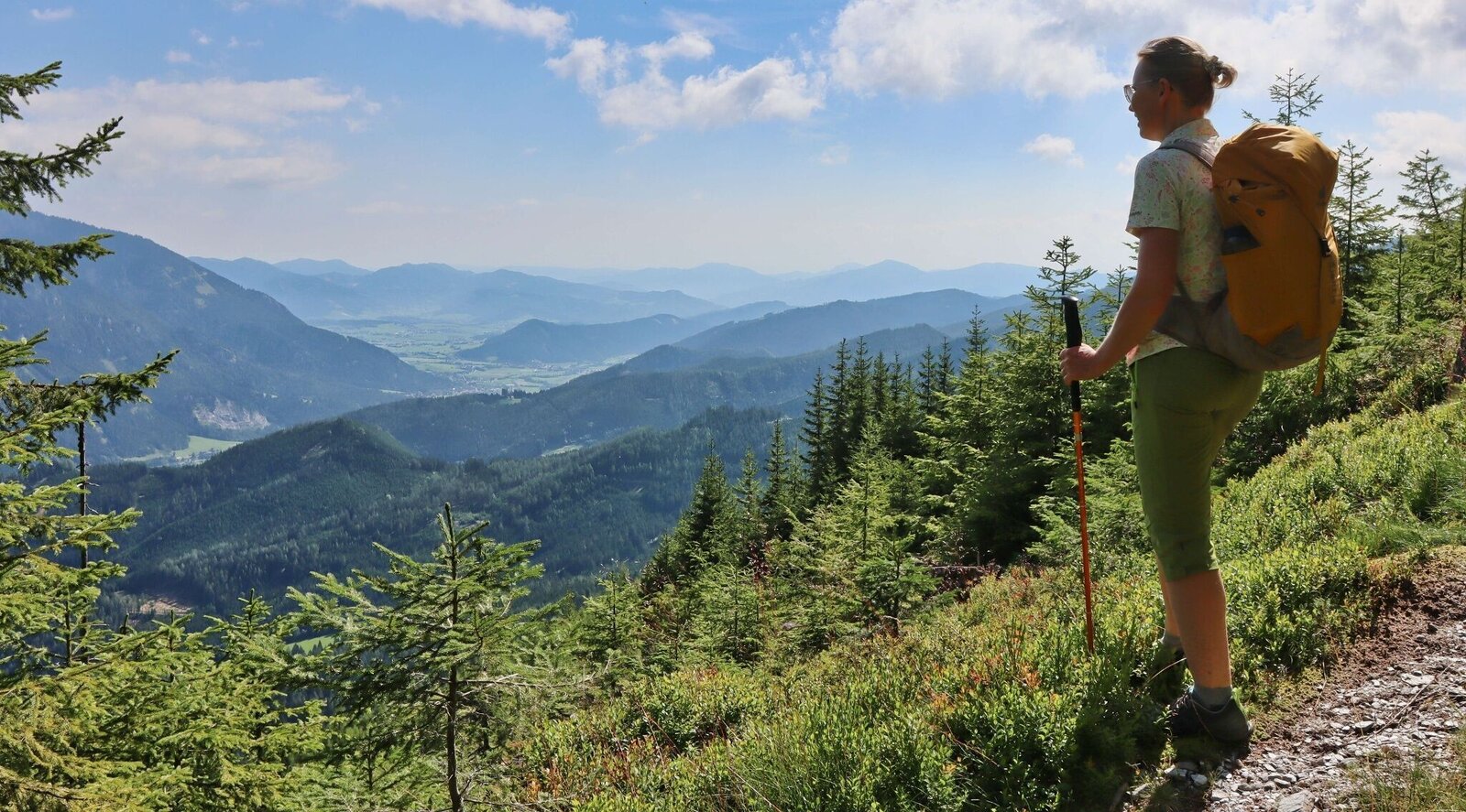
Wir genießen die Aussicht | © Weges OG | Weges OG
9/17
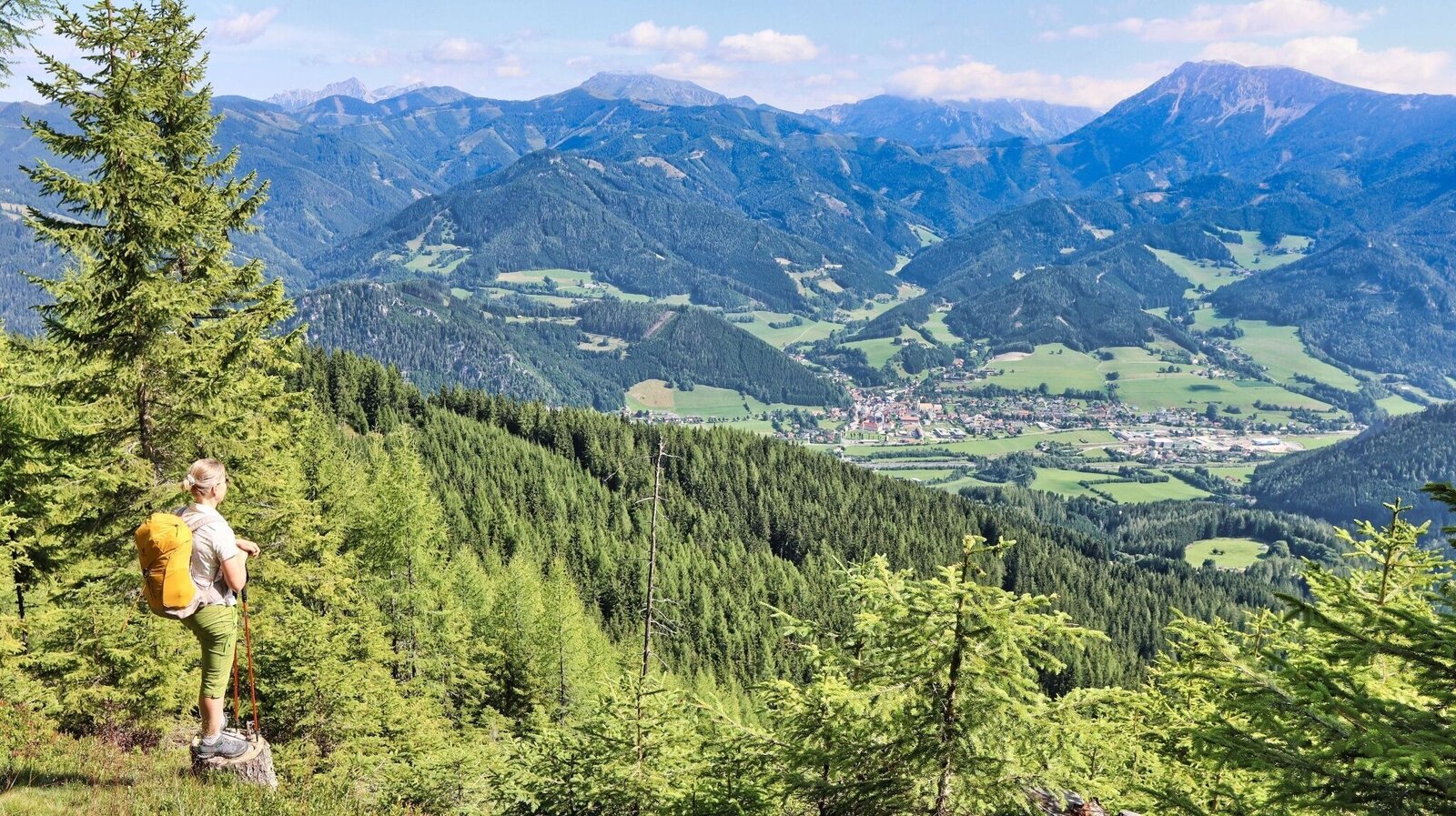
Mautern liegt uns zu Füßen | © Weges OG | Weges OG
10/17
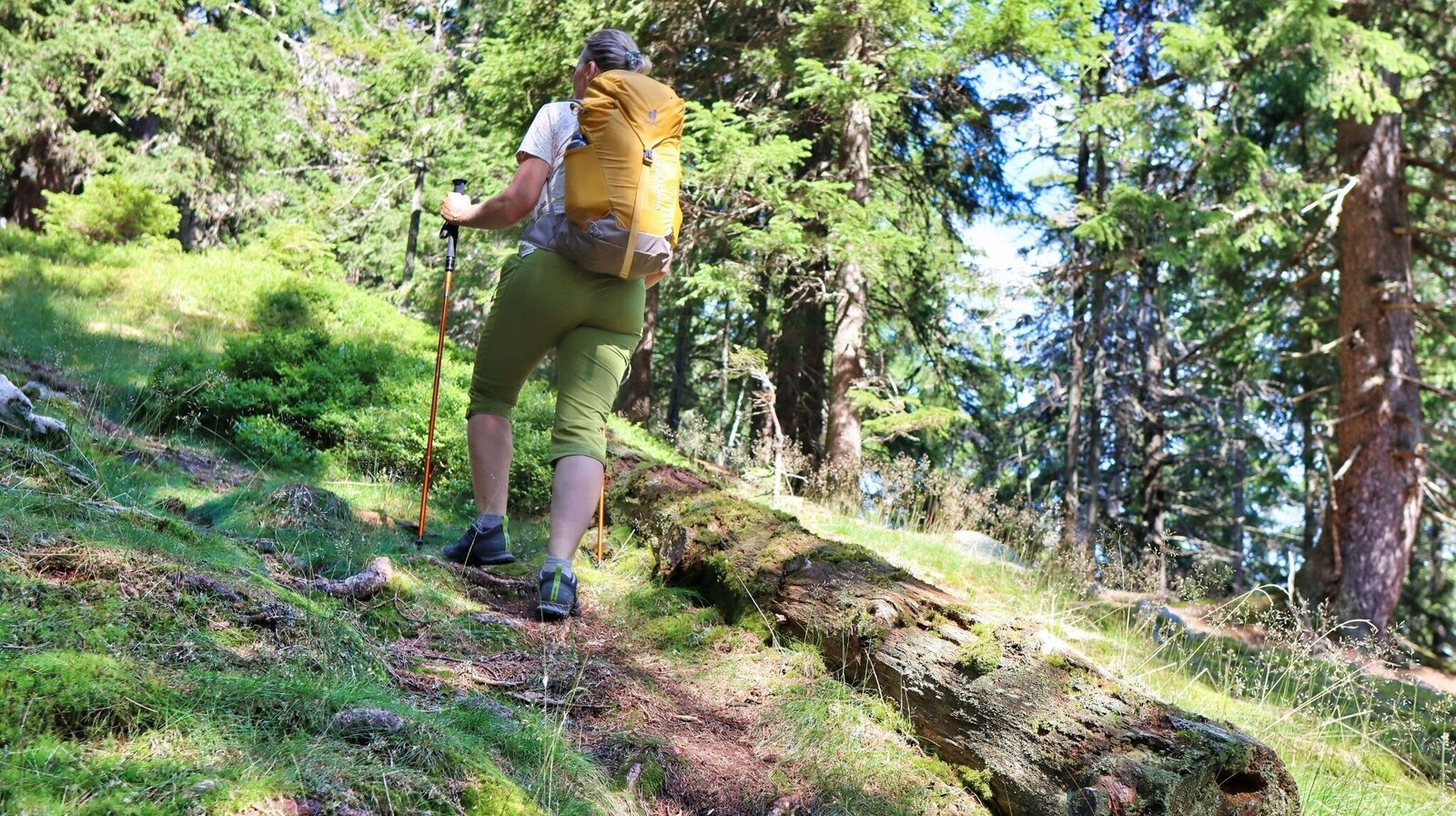
Der Wald lichtet sich | © Weges OG | Weges OG
11/17
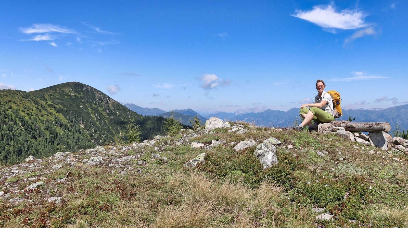
Eine kleine Rast kurz vor dem Mitterkogel | © Weges OG | Weges OG
12/17
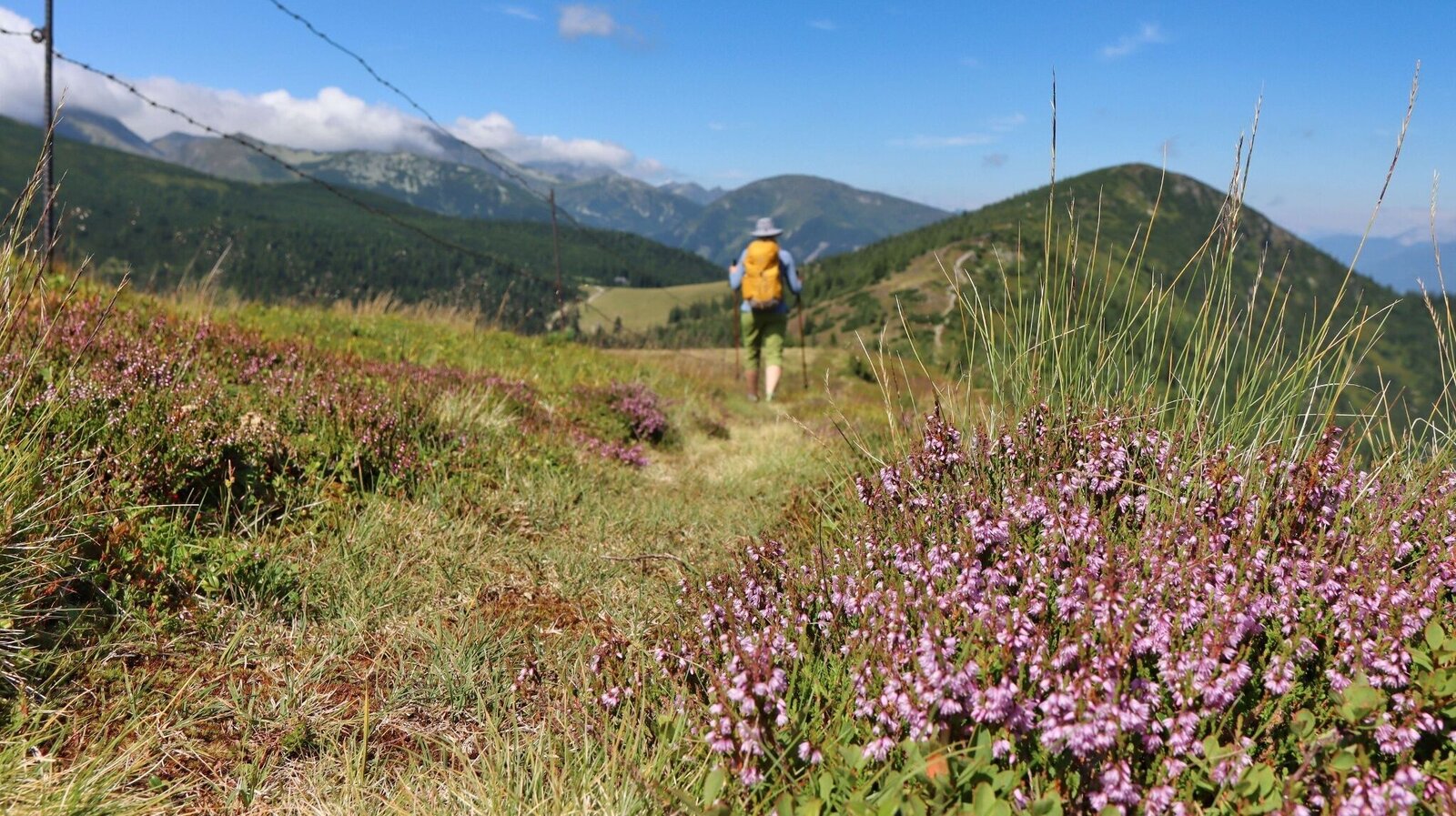
Wir wandern vom Mitterkogel Richtung Bremstein | © Weges OG | Weges OG
13/17
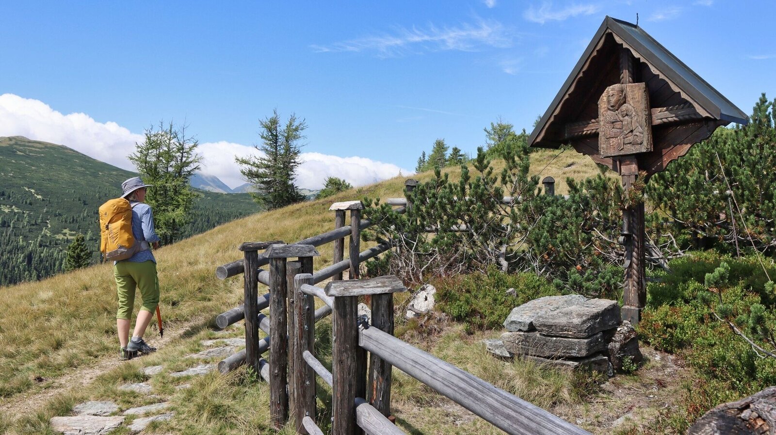
Antonikreuz, 1753 m | © Weges OG | Weges OG
14/17
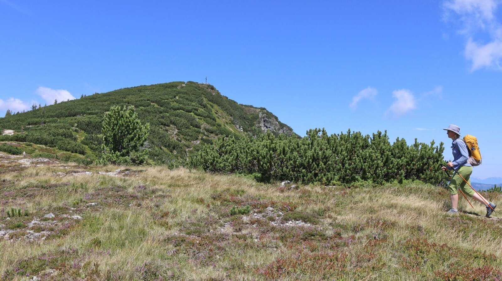
Bald haben wir unser Ziel erreicht | © Weges OG | Weges OG
15/17
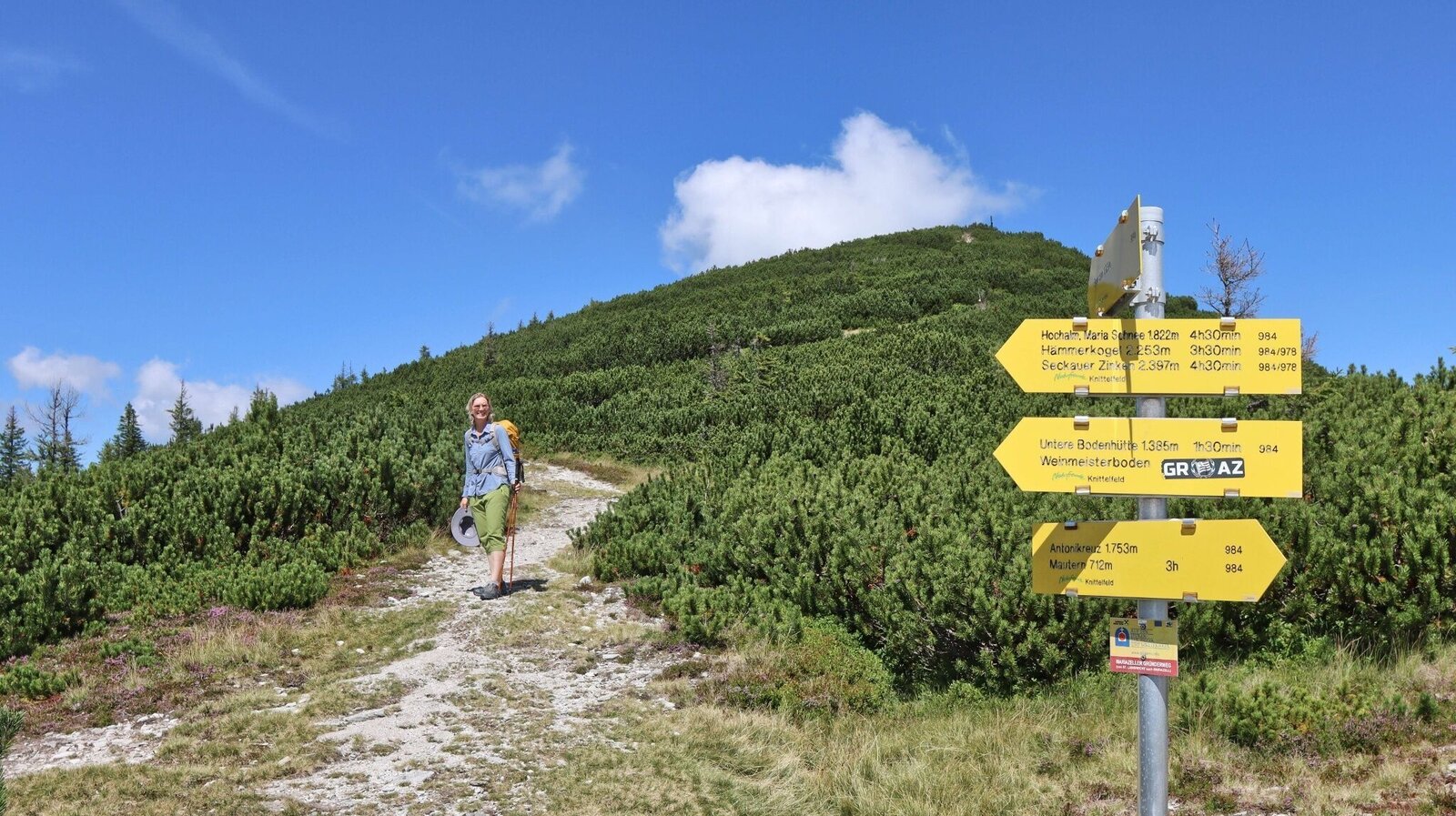
Wegkreuzung kurz vor dem Gipfel | © Weges OG | Weges OG
16/17
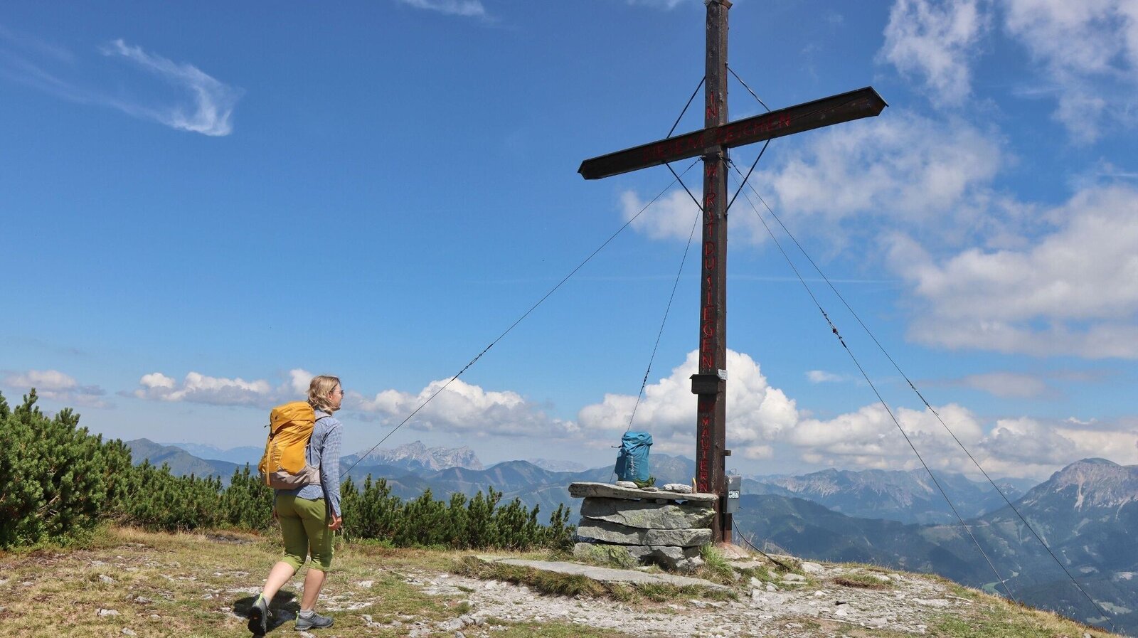
Bremstein, 1868 m | © Weges OG | Weges OG
17/17

What the weather will be like Mautern in Steiermark (710m)
Today, 25.10.2026
Starting fair, then increasing cloudiness and possibly showers towards evening.Morning

-1°C
sr.Regenwahrscheinlichkeit
0%
sr.Windstärke
0 km/h
Noon

8°C
sr.Regenwahrscheinlichkeit
55%
sr.Windstärke
10 km/h
Night

6°C
sr.Regenwahrscheinlichkeit
70%
sr.Windstärke
5 km/h
Tomorrow, 26.10.2026
Dry and partly sunny throughout the day, with cloudy periods from time to time.Morning

2°C
sr.Regenwahrscheinlichkeit
45%
sr.Windstärke
5 km/h
Noon
11°C
sr.Regenwahrscheinlichkeit
15%
sr.Windstärke
5 km/h
Night
4°C
sr.Regenwahrscheinlichkeit
0%
sr.Windstärke
5 km/h
Forecast
27.10.2026

-1°C
13°C
28.10.2026
1°C
14°C
29.10.2026
4°C
14°C
