


Alm circuit, Mönichwald
Characteristics
SkillThe tour in numbers
Level of difficulty
medium
Route
17,2 km
Time
5:00 h
Uphill
560 hm
Downhill
560 hm
Highest point
1047 m
A varied hike across forests and meadows from the flowery Mönichwald to the “Unter der Alm” area with beautiful views, which leads back to the starting point.
Starting from the center of Mönichwald, past the recreational lake, we turn into the next part of the village, Waldbach. From here, the route climbs to the highest point of the tour, the Alpengasthof Spitzbauer at 1,033 m above sea level. Here, or at the nearby Hotel Schwengerer, you can stop for refreshments before returning to the village of Mönichwald on the well-marked hiking trail 07.
Best season
January
March
March
April
May
June
July
August
September
October
November
December
More information
Waldbach-Mönichwald has been a municipality in the Hartberg-Fürstenfeld district of Styria in Austria since 2015.
By car:
From Graz: via the A2 to the Hartberg exit, then B50 and B54 via Grafendorch to Rohrbach; continue via Koglerau and Bruck to Mönichwald
From Vienna: via the A2 to the Pinggau exit, then on the B54 towards Hartberg to Rohrbach a. d. Lafnitz; continue via Koglerau and Bruck to Mönichwald
Detailed information on how to get here can be found Mönichwald, town center.
By car:
From Graz: via the A2 to the Hartberg exit, then B50 and B54 via Grafendorch to Rohrbach; continue via Koglerau and Bruck to Mönichwald
From Vienna: via the A2 to the Pinggau exit, then on the B54 towards Hartberg to Rohrbach a. d. Lafnitz; continue via Koglerau and Bruck to Mönichwald
Detailed information on how to get here can be found Mönichwald, town center.
- Mönichwald, parish church (free)
- Mönichwald, leisure lake (free)
- We start in Mönichwald and orient ourselves by the hiking overview board
- We then walk past the church and the cemetery, cross the road and keep to the right
- We continue upstream past the Florianihalle, cross a wooden bridge and follow the left bank
- At the next bridge (closed) we turn left and walk uphill.
- We follow the forest path, which is marked as a running route and leads into an asphalt road
- Slightly downhill past a few houses we see the yellow signposts in the direction of Waldbach
- Here we go left through a farm and continue on the gravel road, shortly before the pasture we go downhill for a short distance
- Along the forest path and further on forest paths until we cross the Lafnitz and follow the signposted footpath upstream to Waldbach
- In Waldbach, we keep to the right and walk along the road until the road branches off to the left towards Hochwechsel / Breitenbrunn
- At the next crossroads, we keep right uphill.
- We stay on the road for approx. 4 km until we reach the Hornhofer farm
- Here we walk slightly uphill for a short distance until a field path branches off to the right
- We continue until we reach a road junction and keep left uphill, turning right at the next junction in the direction of Spitzbauer
- After a short time, we reach the highest point of the hike, the Alpengasthof Spitzbauer, 1,033 m.
- From now on we are on hiking trail 07 and walk downhill to Hotel Schwengerer
- We turn left at a wayside shrine, walk along field paths and then downhill through the forest, past the "Wimpassinger Haus" friends of nature house, until we reach a farmhouse
- Continue downhill on the asphalt road until you see a junction on the left towards Dreimühlenweg and Mönichwald
- We follow the markings until we reach a wooden bridge, continue downhill past a dilapidated house and continue along the left bank of the stream until we reach an asphalt road
- This takes us to the center of Mönichwald
European emergency call: 112
Emergency call mountain rescue: 140 (if possible please provide GPS data)
Rescue: 144
Fire brigade: 122
Police: 133
Emergency call mountain rescue: 140 (if possible please provide GPS data)
Rescue: 144
Fire brigade: 122
Police: 133
A few tips on correct and fair behaviour in the forest: (Source: www.bundesforste.at )
- Hikers should avoid visits to the forest about 1.5 hours before sunrise and after sunset, as wild animals are particularly active during this time.
- Plastic bottles, handkerchiefs, cigarette butts etc. have no place in the forest! Please make sure that you do not leave any rubbish in the forest.
- Camping and lighting fires are strictly forbidden in the forest!
- In principle, every person is allowed to pick 2 kg of mushrooms and berries per day for personal use. It is only prohibited if the forest owner expressly forbids it.
- Small backpack with water bottle (+ provisions)
- Sturdy shoes
- Appropriate clothing - if possible several layers - "onion principle".
- Rain and sun protectionWalking sticks as required
- Mobile phone
- Small first aid kit
- Route description
- Before starting the hike, check the possibilities for refreshments, including opening times, or pack appropriate food and drink.
A visit to the leisure lake in the Mönichwald offers the perfect way to cool off after the hike.
Timetables and travel information can be found at Österreichische Bundesbahnen (ÖBB) or at Verkehrsauskunft Verbundlinie.
For local transportation we recommend the SAM-Sammeltaxi Oststeiermark.
-> Stop number: HF 5012 Mönichwald, GH-Hold
For local transportation we recommend the SAM-Sammeltaxi Oststeiermark.
-> Stop number: HF 5012 Mönichwald, GH-Hold
You can find information about the region, places to stop and stay overnight, excursion destinations, etc. here:
Eastern Styria Tourism Association
Joglland-Waldheimat office
8255 St. Jakob im Walde
Tel.: 03336/20255
www.joglland.at
www.oststeiermark.com
Current weather
Mobility Eastern Styria with shared taxi SAM Find out about maps, hiking brochures and other tour tips at the tourist office. You can also order information material on our website from the comfort of your own home.
Eastern Styria Tourism Association
Joglland-Waldheimat office
8255 St. Jakob im Walde
Tel.: 03336/20255
www.joglland.at
www.oststeiermark.com
Current weather
Mobility Eastern Styria with shared taxi SAM Find out about maps, hiking brochures and other tour tips at the tourist office. You can also order information material on our website from the comfort of your own home.
Mobility Eastern Styria with shared taxi SAM
Regio Bus
Find out about maps, hiking brochures and other tour tips at the tourist office, or order information material on our website from the comfort of your own home.
Map & downloads
Gallery
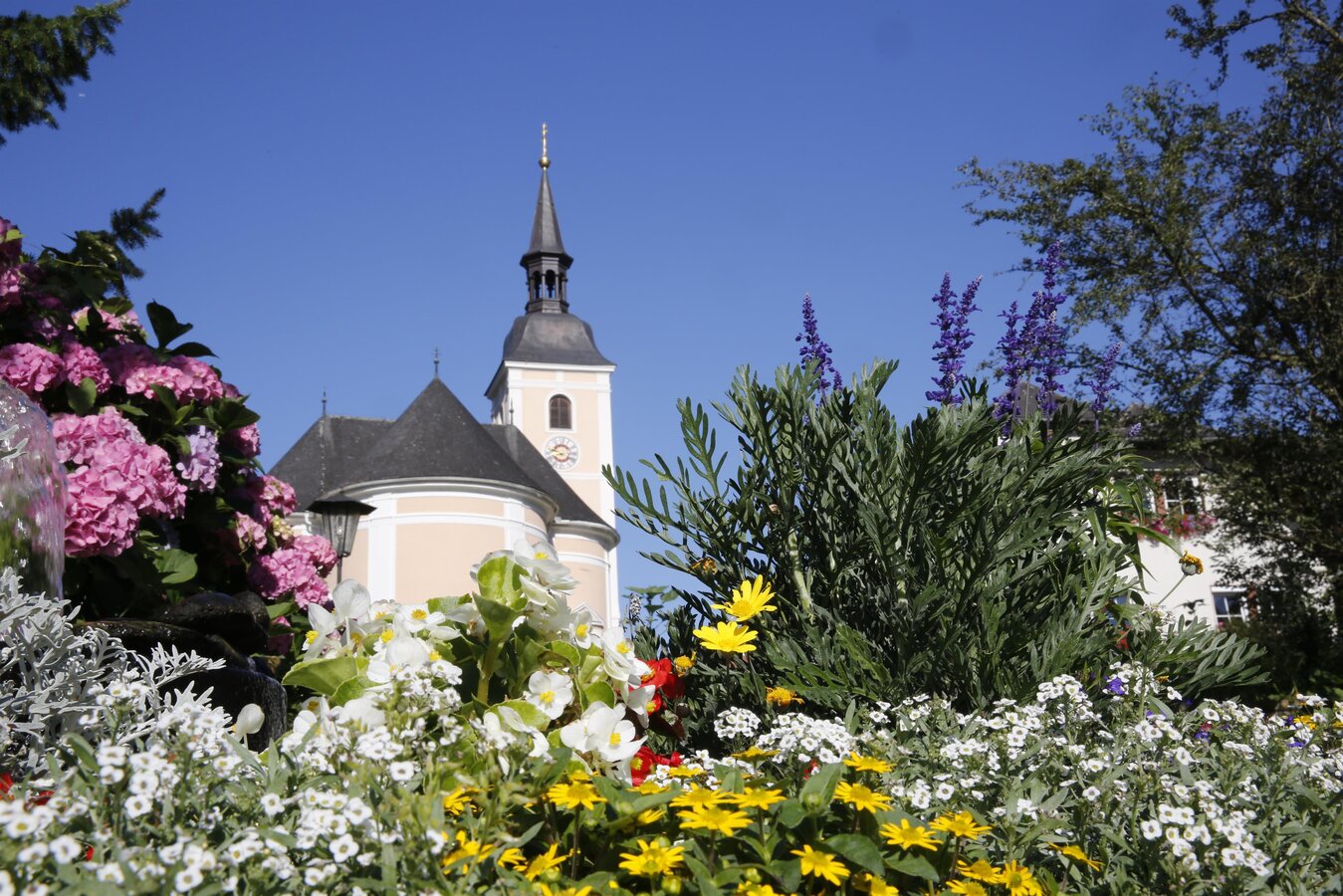
Parish Church_Mönichwald_East Styria | © TV Mönichwald | TV Mönichwald
1/8
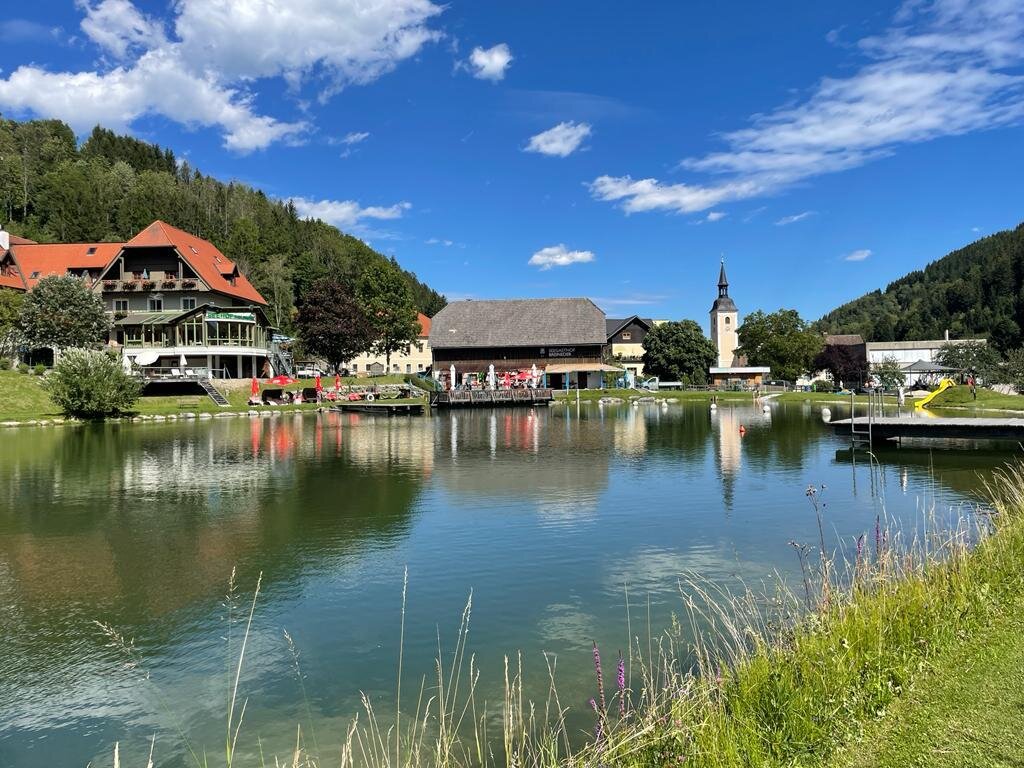
Breineder Lake Inn_by the lake_Mönichwald_Eastern Styria | © Tourismusverband Oststeiermark | Maria Rein
2/8
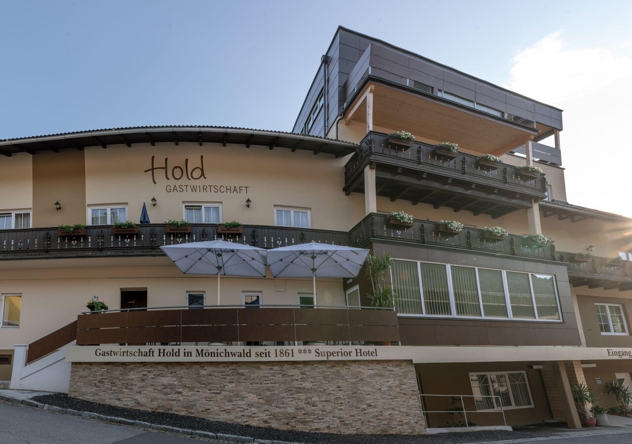
Hold Restaurant_Exterior view_Mönichwald_Eastern Styria | © Patrick Feiner | Patrick Feiner
3/8
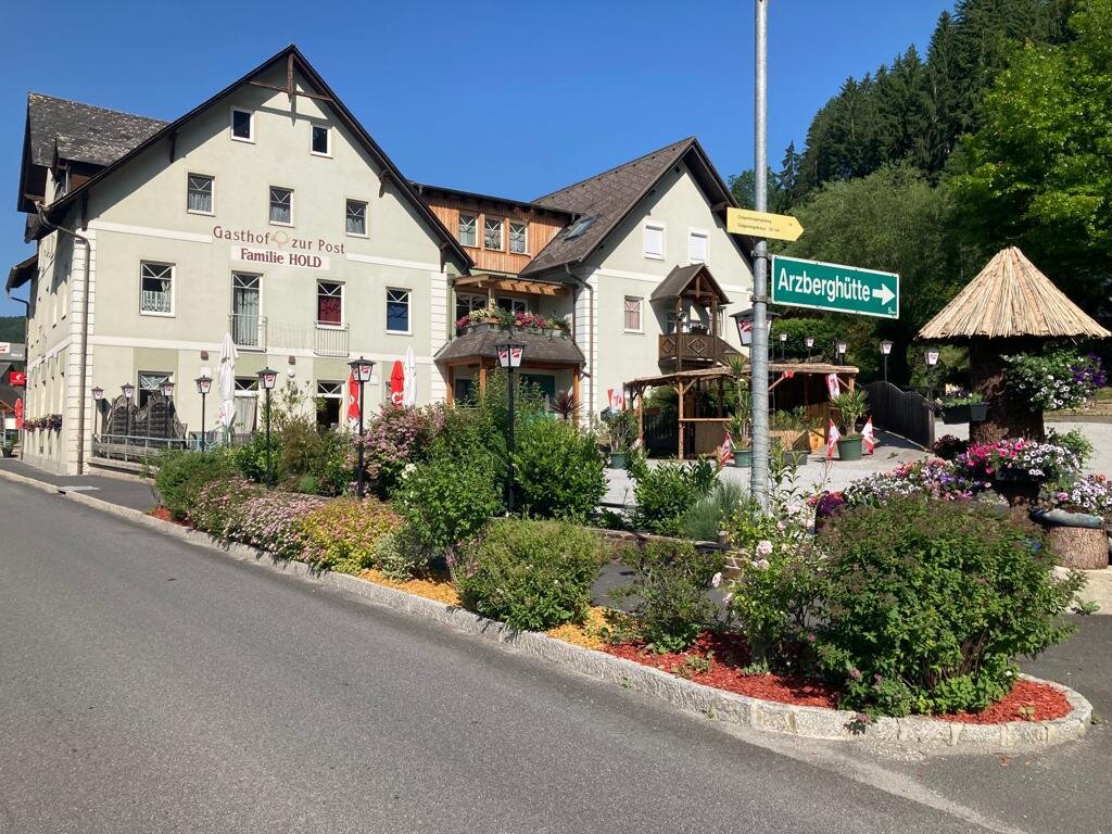
Gasthof Zur Post, Hold_Exterior view_Waldbach_Eastern Styria | © Hold | Hold
4/8
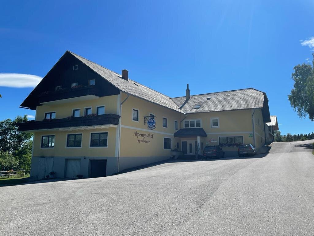
IAlpengasthof Spitzbauer_outside_Mönichwald_Eastern Styria | © Oststeiermark Tourismus | Maria Rein
5/8
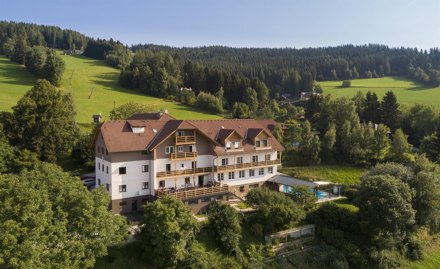
Hotel Schwengerer_from the outside_Mönichwald_Eastern Styria | © Oststeiermark Tourismus | Bernhard Bergmann
6/8
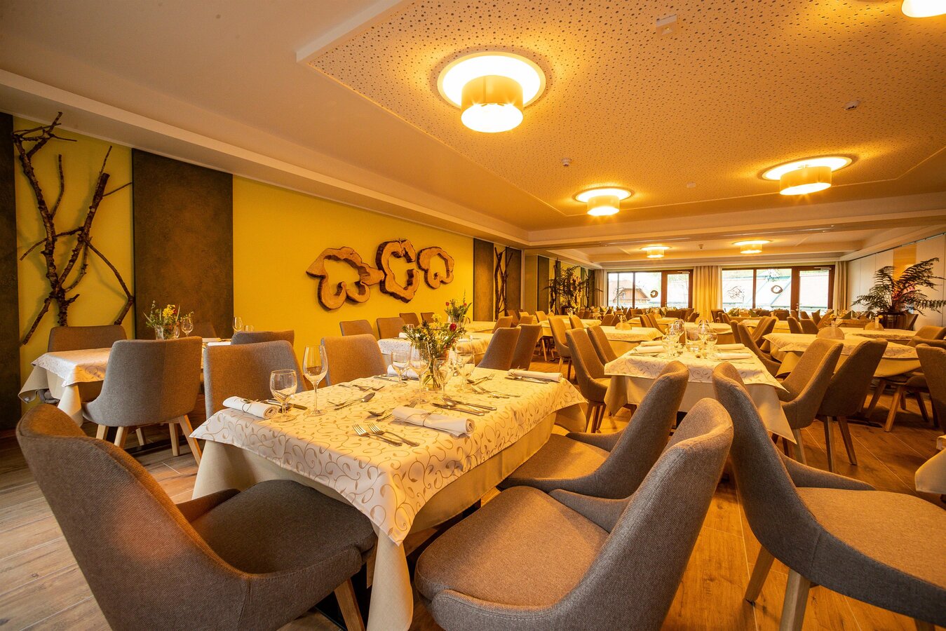
Mönichwalderhof_restaurant_Mönichwald_Eastern Styria | © Mönichwalderhof | Karl Schrotter
7/8
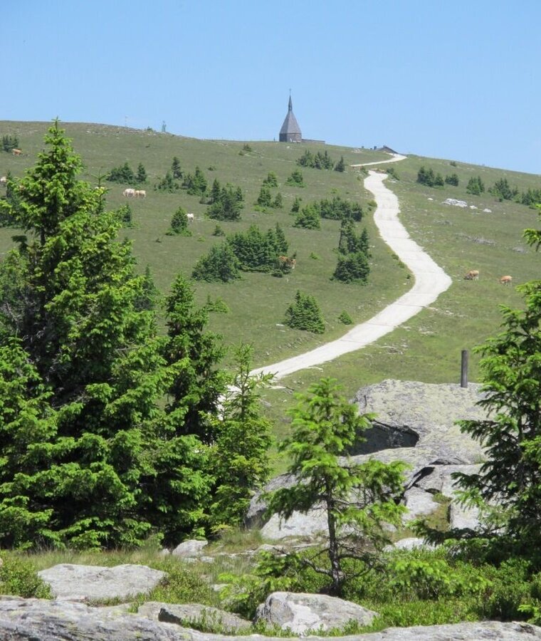
Hochwechselstraße up to the Hochwechsel summit_Mönichwald_Eastern Styria | © Oststeiermark Tourismus | Birgit Kandlbauer
8/8

What the weather will be like Waldbach-Mönichwald (574m)
Today, 29.09.2026
Dry and sunny throughout the day with hardly any clouds.Morning

11°C
sr.Regenwahrscheinlichkeit
0%
sr.Windstärke
5 km/h
Noon
20°C
sr.Regenwahrscheinlichkeit
0%
sr.Windstärke
10 km/h
Night
13°C
sr.Regenwahrscheinlichkeit
0%
sr.Windstärke
5 km/h
Tomorrow, 30.09.2026
Dry and sunny throughout the day with hardly any clouds.Morning
11°C
sr.Regenwahrscheinlichkeit
0%
sr.Windstärke
5 km/h
Noon
20°C
sr.Regenwahrscheinlichkeit
0%
sr.Windstärke
15 km/h
Night
14°C
sr.Regenwahrscheinlichkeit
0%
sr.Windstärke
5 km/h
Forecast
01.10.2026
10°C
21°C
02.10.2026
10°C
21°C
03.10.2026
10°C
21°C

