


Hochlantsch above Franz-Scheikl-Via ferrata, Breitenau am Hochlantsch
Characteristics
FitnessThe tour in numbers
Level of difficulty
medium
Route
5,9 km
Time
4:00 h
Uphill
780 hm
Downhill
780 hm
Highest point
1720 m
Many paths lead to the highest peak in the Almenland Nature Park, the Hochlantsch. One of them is via the “Franz-Scheikl-Via ferrata” with difficulty A/B (partly C/D).
At 1,720 meters, the Hochlantsch is the highest elevation in the Graz Mountains and in the Almenland Nature Park. The summit is a popular hiking destination and can be hiked from the Teichalm and/or from Breitenau am Hochlantsch. In addition to the impressive summit cross, the Schusserlbrunn pilgrimage church with the “Steirischer Jokl” inn are also striking points on the Hochlantsch.
The Franz Scheikl via ferrata runs along the Lantschmauer to the Hochlantsch and is a popular destination for first attempts at climbing. The route was completely renovated in 2017 and was rated A/B in difficulty or C/D in the more difficult parts. The more demanding ridge (just before the exit) can be avoided. The descent leads via the Schusserlbrunn pilgrimage church.
The path starts at the Zirbisegger car park (chargeable parking lot) and initially leads along the hiking trail to the signposted via ferrata. Appropriate equipment is necessary!
Best season
January
February
March
April
May
June
July
August
September
October
November
December
More information
- We start at the “Zirbisegger” car park (charges apply!) and hike towards Schusserlbrunn
- At the "Klettersteig" junction after approx. 750m we leave the hiking trail and turn left, following the signs.
- After about 45 minutes we reach the via ferrata and follow it to the Hochlantsch summit
- The descent takes place via the Schusserlbrunn pilgrimage church, taking hiking trail no. 740 back to the parking lot
Important telephone numbers:
- European emergency call: 112
- Emergency call mountain rescue: 140 (if possible, please provide GPS data)
- Rescue: 144
- Fire brigade: 122
- Police: 133
Your safety is important to us, so we have some important information for you:
- Safe handling of grazing livestock
- Correct behavior when hiking
- Tips for fair and correct behavior in the forest
We recommend the following equipment for a hike:
- Small backpack with drinking bottle (+ provisions)
- aturdy shoes
- Appropriate clothing - preferably several layers - "onion principle"
- Rain and sun protection
- Mobile phone
- Small first aid kit
- Directions
- Via ferrata set
- belt
- helmet
- Via ferrata gloves
- Snap sling
- Before starting the hike, check where you can stop for refreshments, including opening times, or pack suitable provisions.
Timetables and travel information can be found at the Austrian Federal Railways (ÖBB) or at Verbundlinie Transport Information. For local transport we recommend the SAM shared taxi East Styria.
SAM stop: BM3630 St. Jakob-Breitenau - Zirbisegger-parking spot
All information about the region, the places to stop and stay overnight and the excursion destinations can be found at
Eastern Styria Tourist Board
Naturpark Almenland Office
Fladnitz 100
8163 Fladnitz an der Teichalm
T: +43 3179 23000
www.almenland.at | www.oststeiermark.com
Current weather
Mobility Eastern Styria with shared taxi SAM
Find out about maps, hiking brochures and other tour tips at the tourist office. You can also order information material on our website from the comfort of your own home.
Map & downloads
Gallery
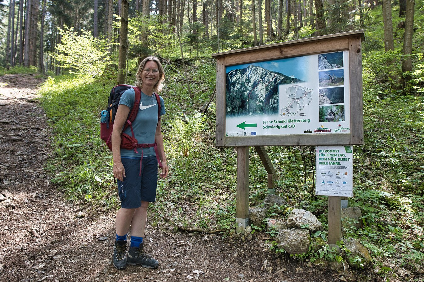
Einstieg Klettersteig mit Infotafel im Naturpark Almenland | © Oststeiermark Tourismus | WEGES
1/9
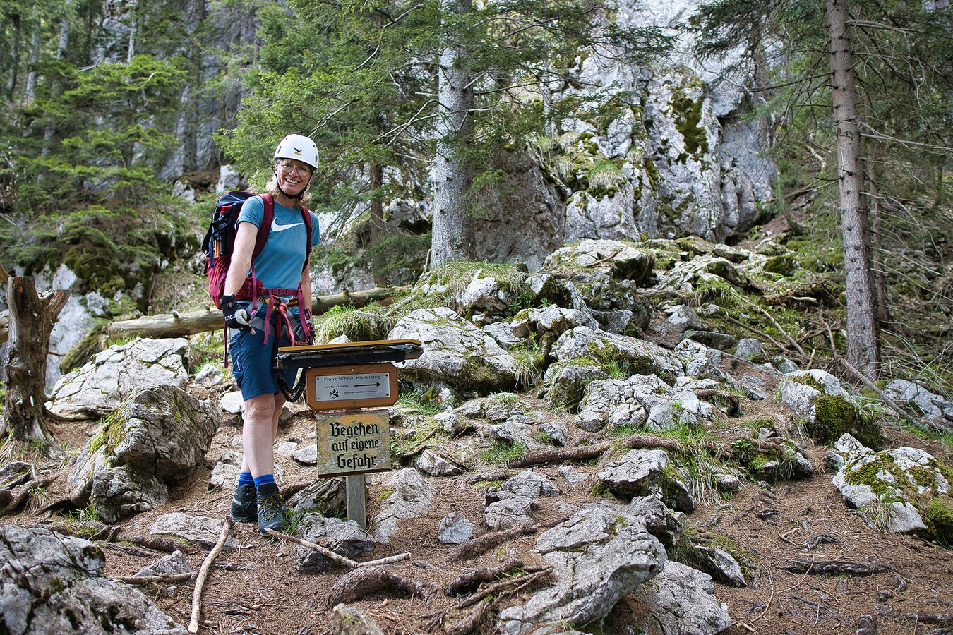
Wegweiser Franz Scheikl Klettersteig im Naturpark Almenland | © Oststeiermark Tourismus | WEGES
2/9
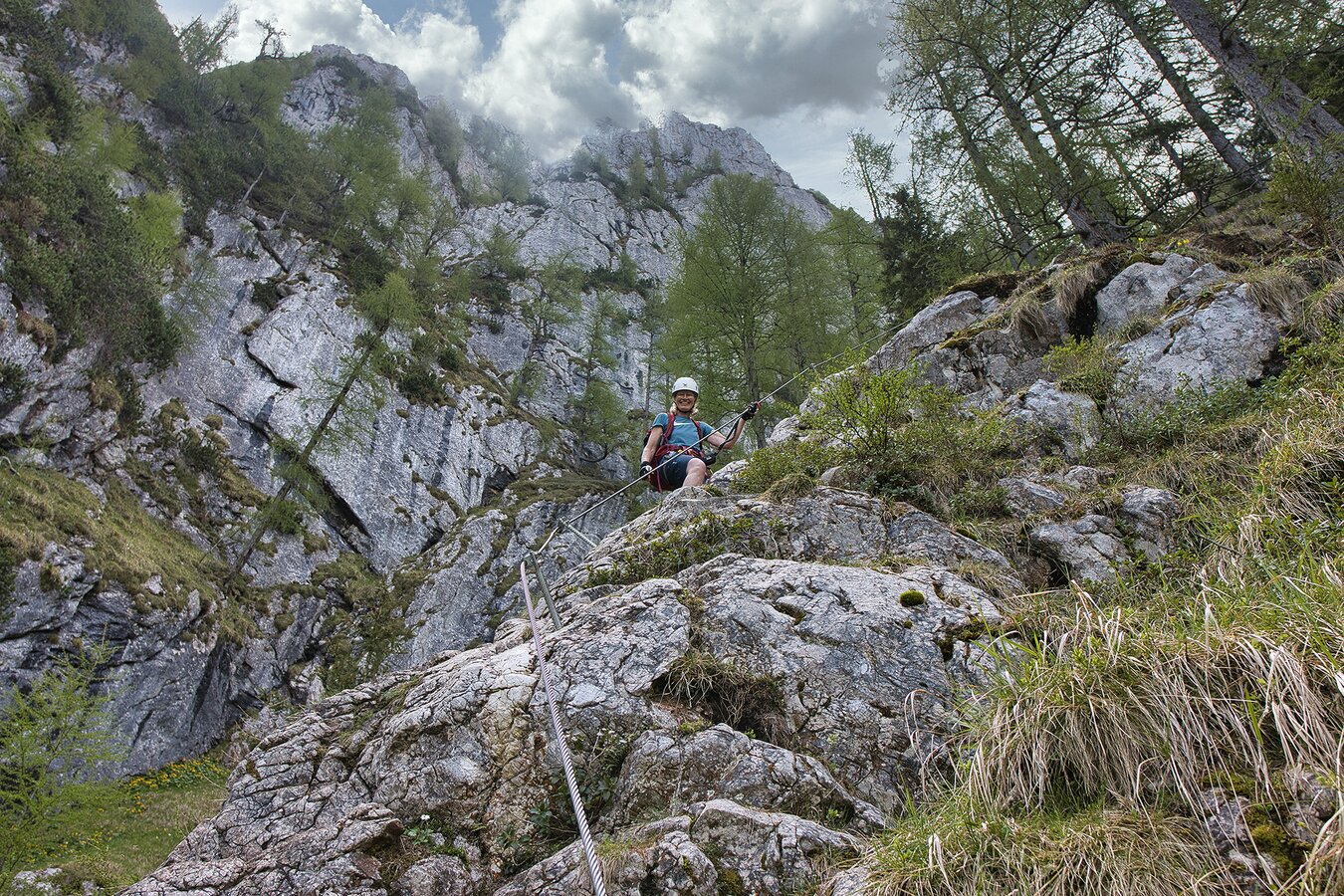
Am Klettersteig im Naturpark Almenland | © Oststeiermark Tourismus | WEGES
3/9
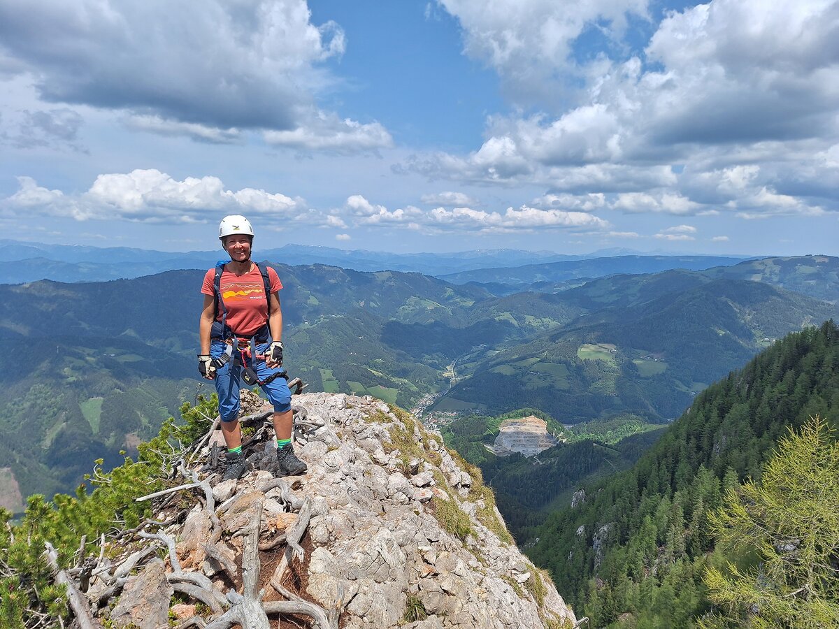
Ausblick Hochlantsch im Naturpark Almenland | © Oststeiermark Tourismus | WEGES
4/9

Ausblick Hochlantsch Gipfelkreuz im Naturpark Almenland | © Oststeiermark Tourismus | WEGES
5/9
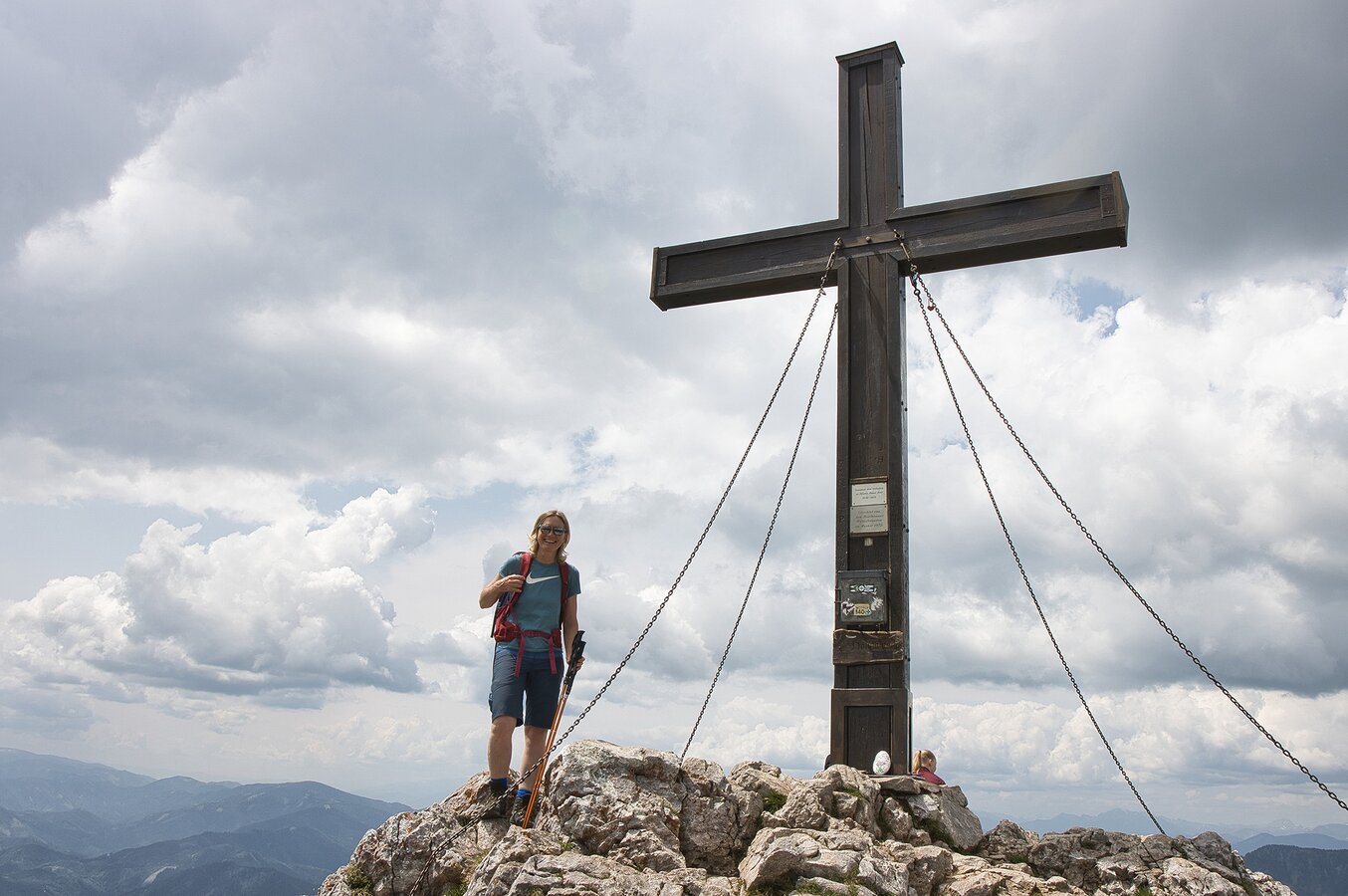
Gipfelkreuz am Hochlantsch im Naturpark Almenland | © Oststeiermark Tourismus | WEGES
6/9
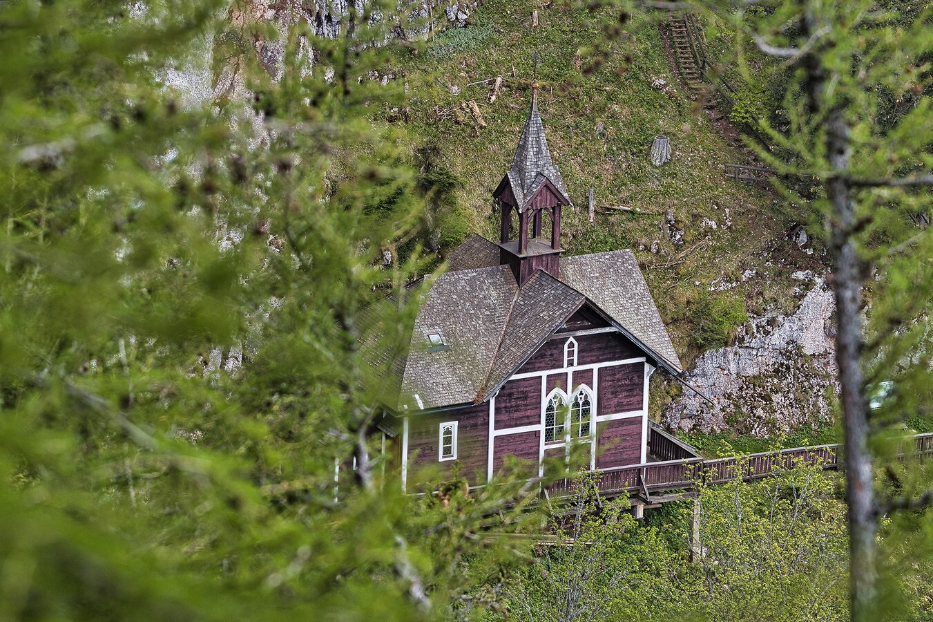
Wallfahrtskirche Schüsserlbrunn im Naturpark Almenland | © Oststeiermark Tourismus | WEGES
7/9
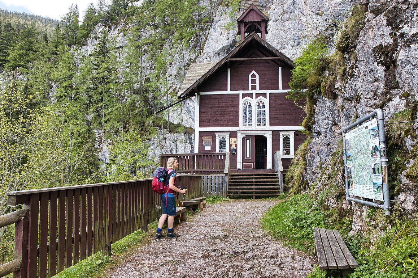
Wallfahrtskirche Schüsserlbrunn mit Infotafel im Naturpark Almenland | © Oststeiermark Tourismus | WEGES
8/9
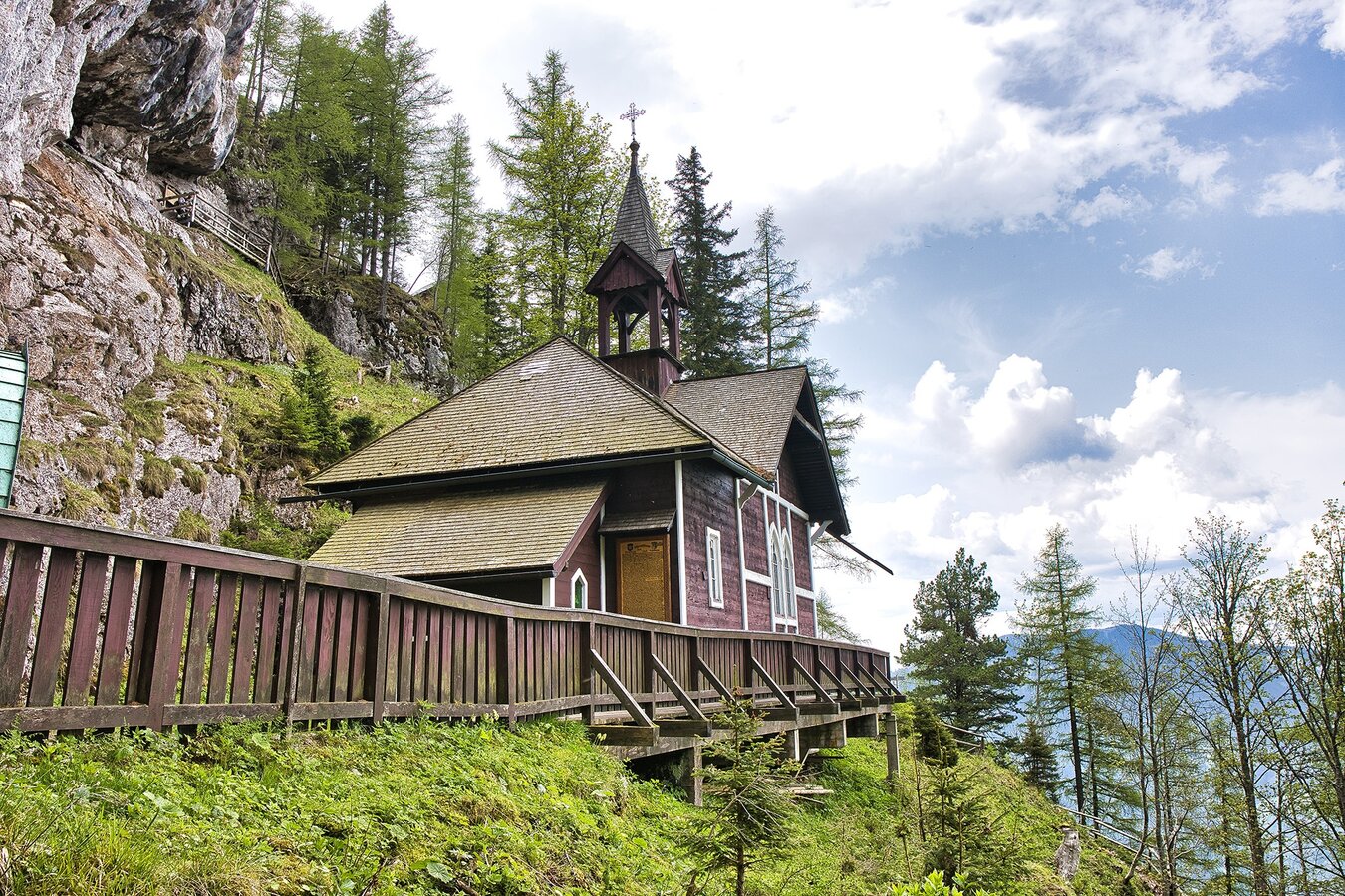
Wallfhartskirche Schüsserlbrunn im Naturpark Almenland | © Oststeiermark Tourismus | WEGES
9/9

What the weather will be like Breitenau am Hochlantsch (607m)
Today, 21.10.2026
Relatively sunny during the day, but maybe some rain in the evening.Morning

7°C
sr.Regenwahrscheinlichkeit
0%
sr.Windstärke
0 km/h
Noon
16°C
sr.Regenwahrscheinlichkeit
20%
sr.Windstärke
5 km/h
Night

12°C
sr.Regenwahrscheinlichkeit
85%
sr.Windstärke
5 km/h
Tomorrow, 22.10.2026
Rain at daybreak, then drying up and increasingly sunny during the day.Morning

9°C
sr.Regenwahrscheinlichkeit
85%
sr.Windstärke
10 km/h
Noon
11°C
sr.Regenwahrscheinlichkeit
50%
sr.Windstärke
15 km/h
Night

6°C
sr.Regenwahrscheinlichkeit
5%
sr.Windstärke
5 km/h
Forecast
23.10.2026

0°C
13°C
24.10.2026
2°C
8°C
25.10.2026
1°C
10°C
