


Peterbauernkogel – Hiking on Uncharted Paths
Characteristics
SkillThe tour in numbers
Level of difficulty
medium
Route
5,4 km
Time
2:30 h
Uphill
456 hm
Downhill
456 hm
Highest point
1354 m
Unmarked hike along partly steep forest paths and forest roads, offering beautiful close-up views of the Semmering, the Rax, Stuhleck, and the Fröschnitztal. An unobtrusive tour for those who seek true solitude. Surefootedness is recommended. In winter, with snow, the steep forest terrain becomes more challenging.
From Steinhaus am Semmering, hike over the northwest slopes of Erzkogel towards Dürrgraben. High above this, head southeast to the forested Peterbauernkogel.
Best season
January
February
March
April
May
June
July
August
September
October
November
December
More information
From Semmering or Mürzzuschlag to Steinhaus am Semmering, then to the large "P" near the fire station.
Large "P" at the entrance to the Fröschnitztal near Steinhaus am Semmering, close to the volunteer fire department.
From Steinhaus, cross the transport road of the Semmering base tunnel construction site (the high wall can be bypassed on the right, with trail markings and guardrails). Immediately after, climb steeply through the forest above the road (hollow path, trail markings), following a sometimes hard-to-see trail, crossing a few forest roads, to a flat saddle northwest of Erzkogel (fallen trees, as of April 2024).
Here, follow the (new) forest road gently uphill, keeping to the right, then slightly downhill in an easterly direction (offering beautiful views of the Rax, Semmering, and Pinkenkogel) until you reach a gully descending from the Peterbauernkogel. From here, you can climb steeply through the forest to the inconspicuous, wooded summit (two small summit stones/marks).
Return via the same path you ascended.
Unmarked trails, map reading skills are absolutely essential! Some steep forest paths. Slippery when wet or after snowfall, surefootedness required!
Hiking gear, sturdy footwear, trekking poles, map.
Erzweg Trail in Steinhaus am Semmering, Parish Church in Spital am Semmering.
By train via the Southern Railway (UNESCO World Heritage Semmering Railway), stop at Steinhaus am Semmering.
Hiking trail off the beaten path, please do not hike here during dawn or dusk (hunting area)!
Map & downloads
Gallery
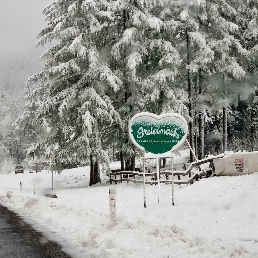
Start an der Landesgrenze | © TV Hochsteiermark | Andreas Steininger
1/5
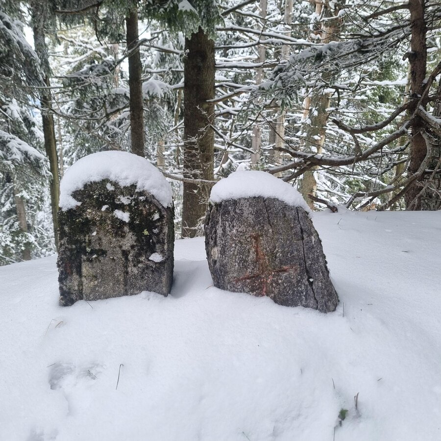
Am Gipfel | © TV Hochsteiermark | Andreas Steininger
2/5
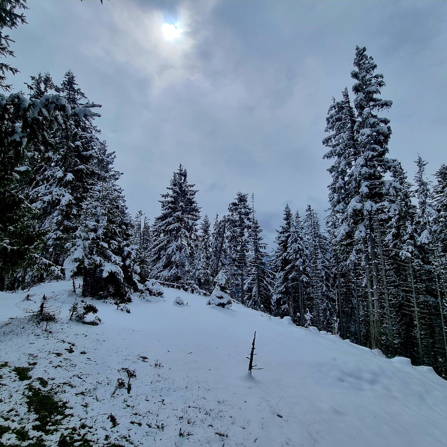
Gipfel des Peterbauerkogel | © TV Hochsteiermark | Andreas Steininger
3/5
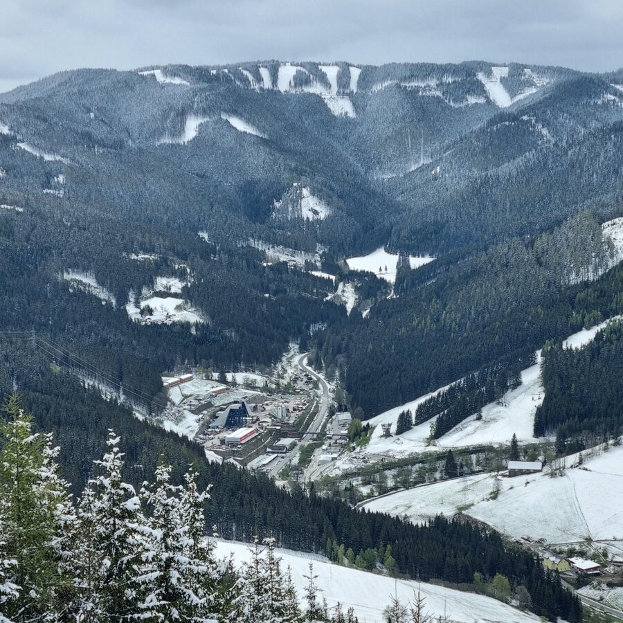
Blick ins Fröschnitztal | © TV Hochsteiermark | Andreas Steininger
4/5
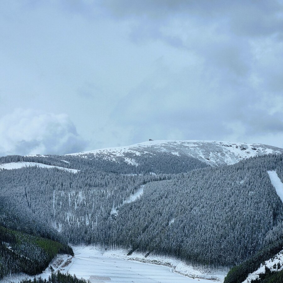
Stuhleck | © TV Hochsteiermark | Andreas Steininger
5/5

What the weather will be like Spital am Semmering (774m)
Today, 03.11.2026
Rain and snow showers at daybreak, then mostly dry with occasional sunshine.Morning

2°C
sr.Regenwahrscheinlichkeit
80%
sr.Windstärke
5 km/h
Noon

3°C
sr.Regenwahrscheinlichkeit
70%
sr.Windstärke
10 km/h
Night
2°C
sr.Regenwahrscheinlichkeit
65%
sr.Windstärke
5 km/h
Tomorrow, 04.11.2026
The day will be dry, but mostly cloudy with occasional sunny spells.Morning
2°C
sr.Regenwahrscheinlichkeit
10%
sr.Windstärke
5 km/h
Noon
5°C
sr.Regenwahrscheinlichkeit
5%
sr.Windstärke
5 km/h
Night

2°C
sr.Regenwahrscheinlichkeit
5%
sr.Windstärke
0 km/h
Forecast
05.11.2026

0°C
7°C
06.11.2026

-1°C
9°C
07.11.2026
-1°C
8°C
