


Romantic circular hiking trail
Characteristics
SkillThe tour in numbers
Level of difficulty
easy
Route
7,5 km
Time
2:00 h
Uphill
153 hm
Downhill
153 hm
Highest point
943 m
An easy hike in Mitterbach with lots of fresh air and fantastic views at the Kapellergut and Göschlhof on the Ötscher.
The Romantic Circular Trail leads you to beautiful views (Ötscher and Gemeindealpe) through small ditches and dense forests to a "Saugarten".
Signposting: own signs - "Mariazeller Land -Romantischer Rundwanderweg"
>> Here you get to the blog report of Fred Lindmoser with great photos (autumn pictures)!
Best season
January
March
March
April
May
June
July
August
September
October
November
December
More information
Coming from Bruck an der Mur via the B20 over the Seebergsattel to Gußwerk and Mariazell. Continue on the B20 to Mitterbach.
Parking lot at the village square Mitterbach
Coming from St. Pölten via the B20 (Annaberg and Josefsberg) to Mitterbach.
Detailed information on how to get there can be found >> here.
Parking lot at the village square Mitterbach
Starting point: village center in Mitterbach.
From there, after the former Filzwieser inn, we go up to the left and along the Göschlhofweg until we reach the Göschlhof farm. On the way to the Göschlhof we have a wonderful view of the Ötscher. At the Göschlhof we now go left behind the farm past, through a forest path to the Kapellerwiese (here is also a board with information about the Kapellergut). Also from here there is a beautiful view of the mountains of the Mariazell region.
Now we follow a forest road uphill and downhill (path at the same time direction Fadental/Walster) until we come to a first crossroads, where we continue to the right. We continue again on a forest road to the next crossroads, where the mountain bike tour "Hubertussee-Runde" also passes. We now walk a short distance on this forest road before we see a signpost on the right side in the direction of "Lurg" and follow it branching off to the right. First we go uphill again on a forest road, before we turn right again (signpost "Lurgbauer") and after a short time we reach the "Lurg" by a forest path downhill. Now we follow the forest and meadow path above the houses until we reach the road that leads out towards the B20. After a few meters we see on the right hand side on a hill the "Lurgbauer" (3-hoods - absolutely reserve in advance!). However, we do not go up, but follow the forest road straight ahead. After arriving at Lurgbauer's former suction garden, we now branch off to the right and reach a large meadow shortly after on a narrow uphill path. We continue to follow the signposts and arrive through a nice forest path again in the direction of Mitterbach. Finally we reach the Göschlhofweg again via a meadow and walk back to our starting point.
The circular hiking trail is continuously signposted with the "Mariazeller Land Romantik-Rundwanderweg" signs.
Emergency call mountain rescue: 140
Emergency reporting tip - provide answers to the six W questions: What happened? How many injured? Where did the accident happen (possibly GPS coordinates)? Who is reporting (callback number)? When did the accident happen? Weather at the accident site?
Safety tips for a carefree hiking trip with dog can be found here
Proper backpacking makes many things easier: pack heavy things first. The water bottle should always be within easy reach in a side pocket. All things that are often needed, such as sunglasses, camera or hiking map, belong on top. An emergency kit including blister plaster belongs in every backpack and a clothing according to the "onion system" is always recommended!
Stop for refreshments at the Lurgbauer (be sure to reserve in advance) or in numerous restaurants in Mitterbach!
Timetables and travel information can be found directly at: www.oebb.at , www.busbahnbim.at and www.mariazellerbahn.at
Tourism Association Hochsteiermark - Office Mariazeller Land
Main square 13, 8630 Mariazell
T: +43 (0) 3882 2366
Hiking map available in the office of the tourist office (Hauptplatz 13, Mariazell)!Map & downloads
Gallery
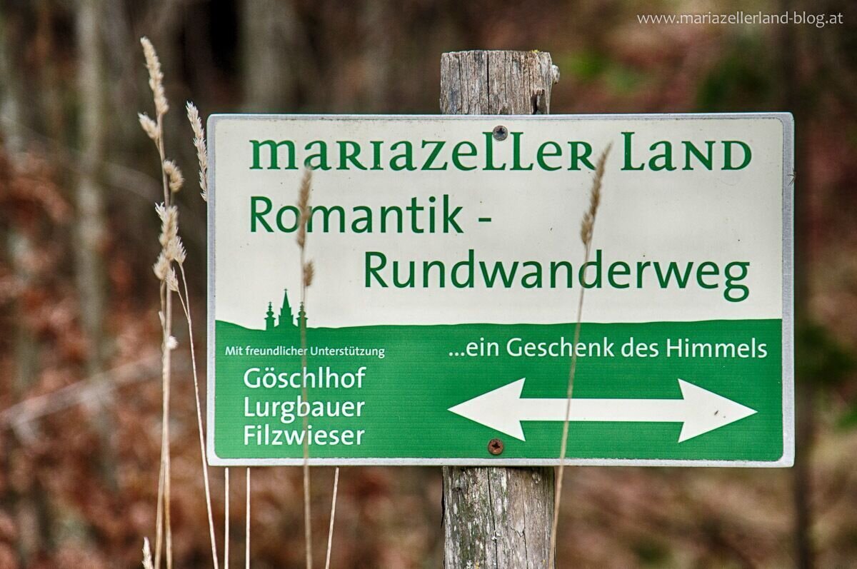
Wegweiser | © www.mariazell.blog | Fred Lindmoser
1/6
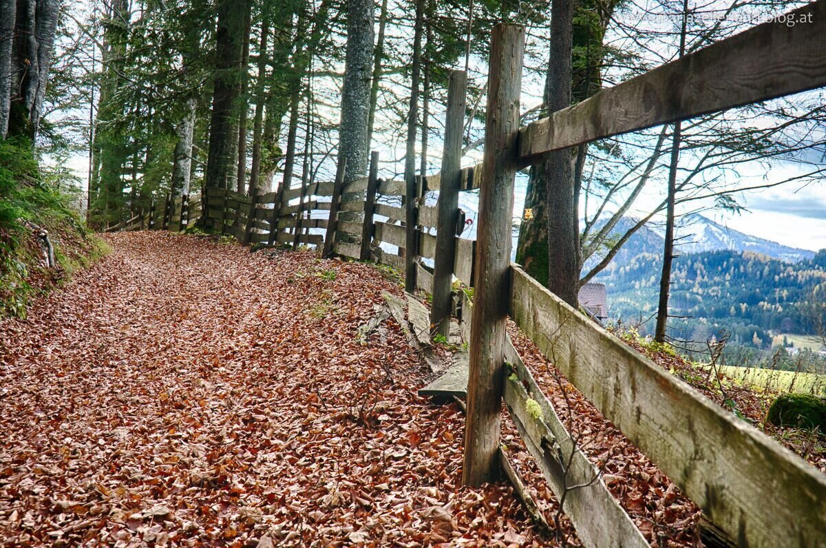
Ober dem Göschlhof | © www.mariazell.blog | Fred Lindmoser
2/6
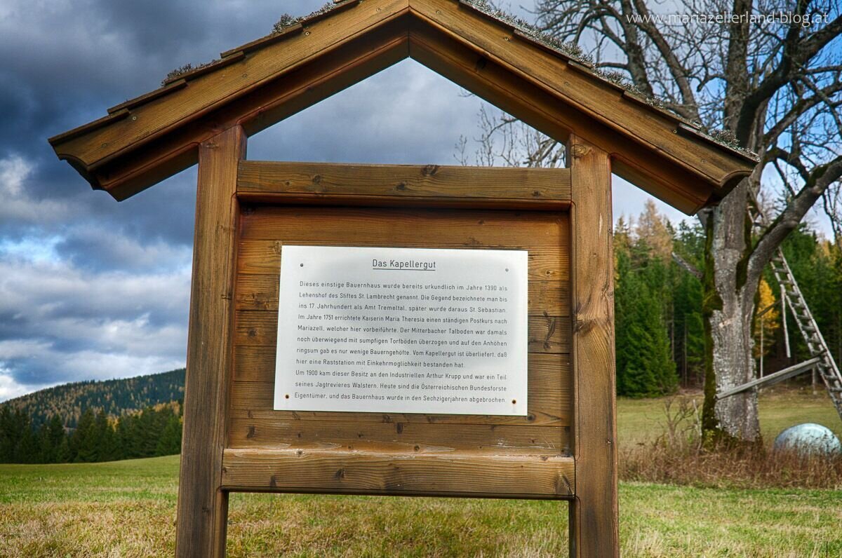
Sage Kapellergut | © www.mariazell.blog | Fred Lindmoser
3/6
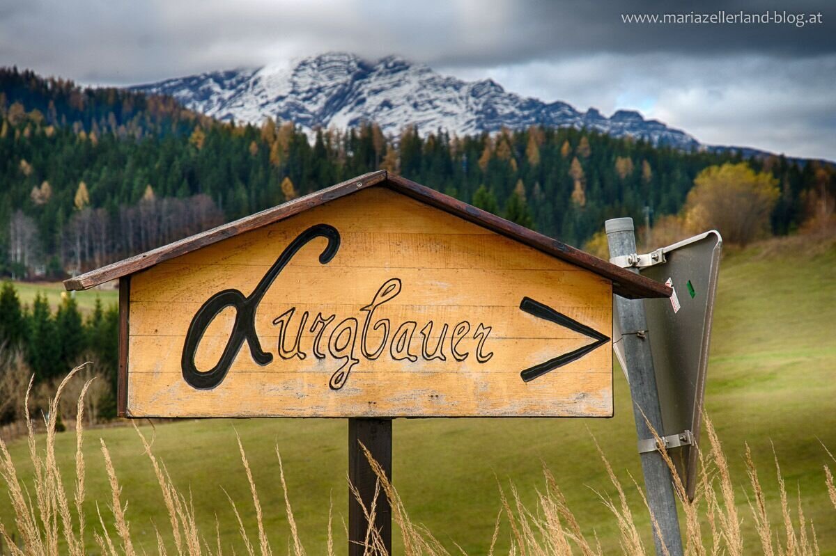
Wegweiser zum Lurgbauer | © www.mariazell.blog | Fred Lindmoser
4/6
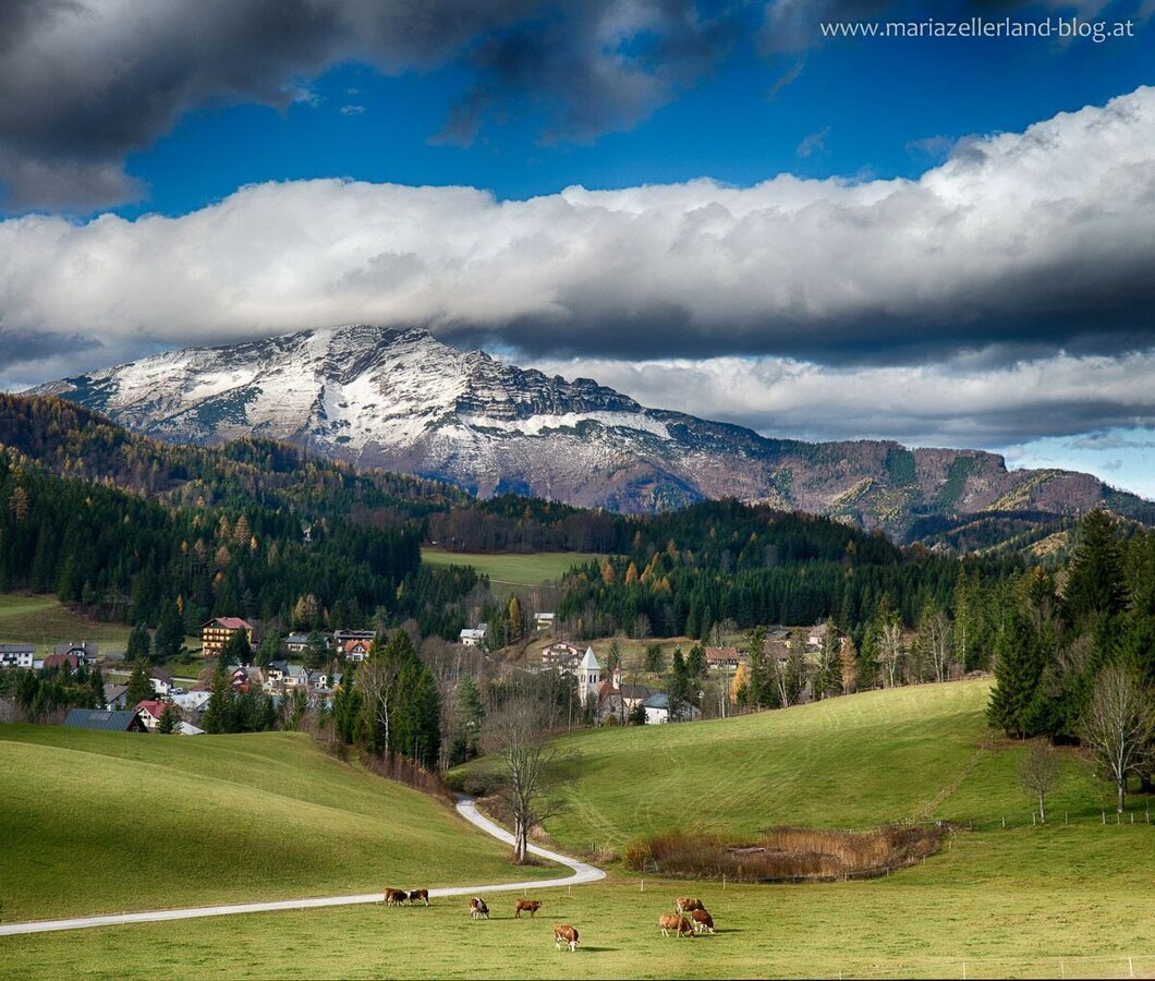
Blick nach Mitterbach und zum Ötscher | © www.mariazell.blog | Fred Lindmoser
5/6
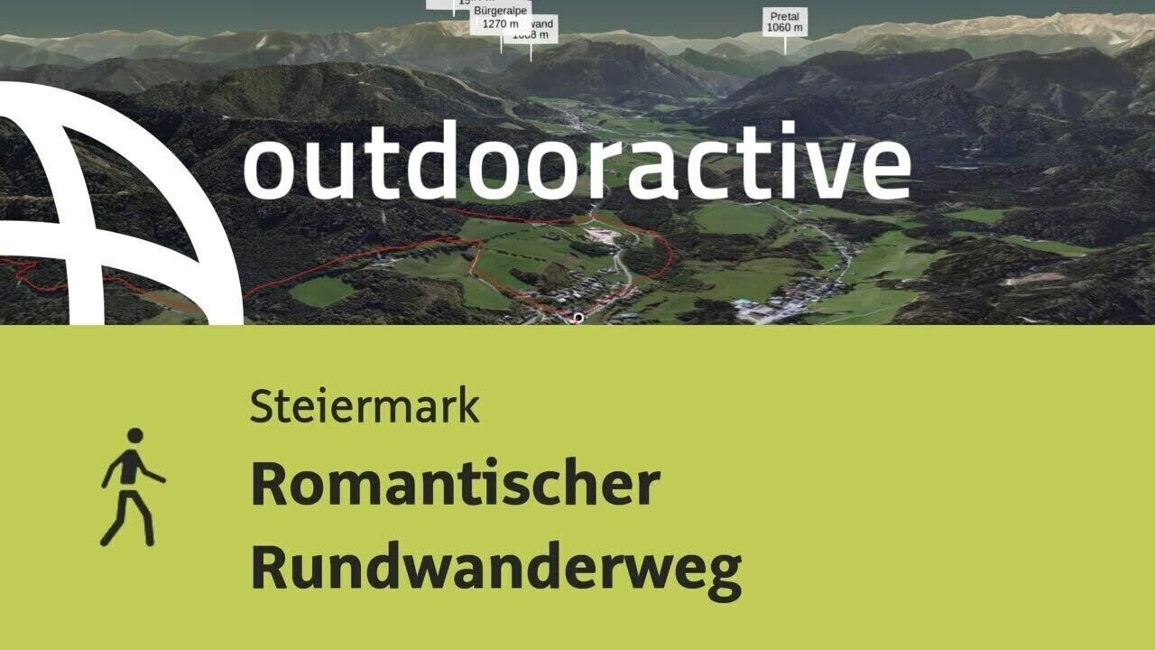
Wanderung in der Steiermark: Romantischer Rundwanderweg | © Outdooractive – 3D Videos
6/6

What the weather will be like Mariazell (860m)
Today, 29.09.2026
Dry and sunny throughout the day with hardly any clouds.Morning

10°C
sr.Regenwahrscheinlichkeit
0%
sr.Windstärke
20 km/h
Noon
20°C
sr.Regenwahrscheinlichkeit
0%
sr.Windstärke
20 km/h
Night
14°C
sr.Regenwahrscheinlichkeit
0%
sr.Windstärke
15 km/h
Tomorrow, 30.09.2026
Dry and sunny throughout the day with hardly any clouds.Morning
9°C
sr.Regenwahrscheinlichkeit
0%
sr.Windstärke
10 km/h
Noon
20°C
sr.Regenwahrscheinlichkeit
0%
sr.Windstärke
20 km/h
Night
13°C
sr.Regenwahrscheinlichkeit
0%
sr.Windstärke
15 km/h
Forecast
01.10.2026
8°C
21°C
02.10.2026

6°C
20°C
03.10.2026
5°C
21°C
