


Open
Malleistenalm mountain bike trail
Characteristics
SkillThe tour in numbers
Level of difficulty
medium
Route
10,0 km
Time
2:00 h
Uphill
648 hm
Highest point
1263 m
We start our tour in the centre of Krieglach, ride along Lastenstraße - past the leisure lake - into Malleisten. Here we follow the tarmac road up the Malleisten ‘Berg’, which eventually leads into a gravel road and leads directly to the Malleisten Alm.
From Krieglach, the route takes you past the leisure lake and up to the Malleisten. At the destination ‘Malleisten Alm’, thirsty cyclists can enjoy refreshments at the mountain hut.
Best season
January
February
March
April
May
June
July
August
September
October
November
December
More information
S6 Semmering Schnellstraße - Abfahrt Krieglach bzw. Mitterdorf
We start our tour in the centre of Krieglach and follow the Lastenstraße, past the leisure lake, into the Malleisten. The first 4.5 kilometres are on an asphalt road, which then turns into a well-maintained gravel road that leads directly to the Malleisten Alm. The climbs along the route are interspersed with short flat sections where we can recharge our batteries.
Erwähnenswert ist der gute Ausblick von der Malleistenalm auf das umliegende Berggebiet!
Mit dem Zug bis zum Bahnhof Krieglach.
ÖBB www.oebb.at oder Verbundlinie Steiermark www.busbahnbim.at
Mit der BusBahnBim App der Verbundlinie ist eine Fahrplanauskunft so einfach wie noch nie: Alle Verbindungen mit Bus, Bahn und Straßenbahn in Österreich können durch die Eingabe von Orten und / oder Adressen, Haltestellen bzw. wichtigen Punkten abgefragt werden. Erhältlich ist die App als Gratis-App für Smartphones (Android, iOS) – auf Google Play und im App Store
Kostenfreie Parkplätze in der Pestalozzistraße
Tipp: die Steiermark Touren App , die kostenlos auf Google Play und im App Store zur Verfügung steht (Android, iOS) bietet detaillierte Informationen aus erster Hand: Shortfacts (Länge, Dauer, Schwierigkeit, Aufstieg und Abstieg in Höhenmetern, Bewertungen), Karte, Wegbeschreibungen, Höhenmesser, Kompass, Gipfelfinder, Navigation entlang der Tour. Zudem kann man seine persönliche Favoritenliste von Lieblingstouren und –punkten erstellen, Touren und Ausflugsziele offline speichern, Social Media - Kanäle bespielen und mehr.
Tourismusverband Semmering Waldheimat Veitsch
- Krieglach/Alpl - Ortsplan und Freizeitkarte
- R5 Mürztalradweg von Mürzsteg bis Bruck an der Mur & Touren ins umliegende Bergland
- Faltkarte 'bike region Mürztal'
erhältlich in den Tourismusbüros der Hochsteiermark sowie bei unseren Infopoints
Map & downloads
Gallery

Ebiken_Buchebner Spital_Stuhleck © TV Hochsteiermark, nicoleseiser.at (41).jpg | © Tourismusverband Hochsteiermark | nicoleseiser.at
1/4
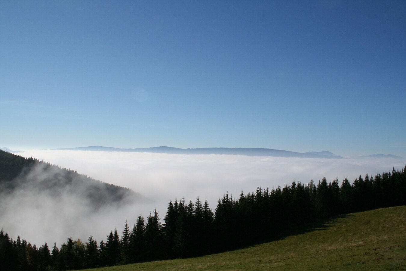
Blick von Malleisten Alm ins Mürztal | © TV Hochsteiermark | Maria Steindl
2/4
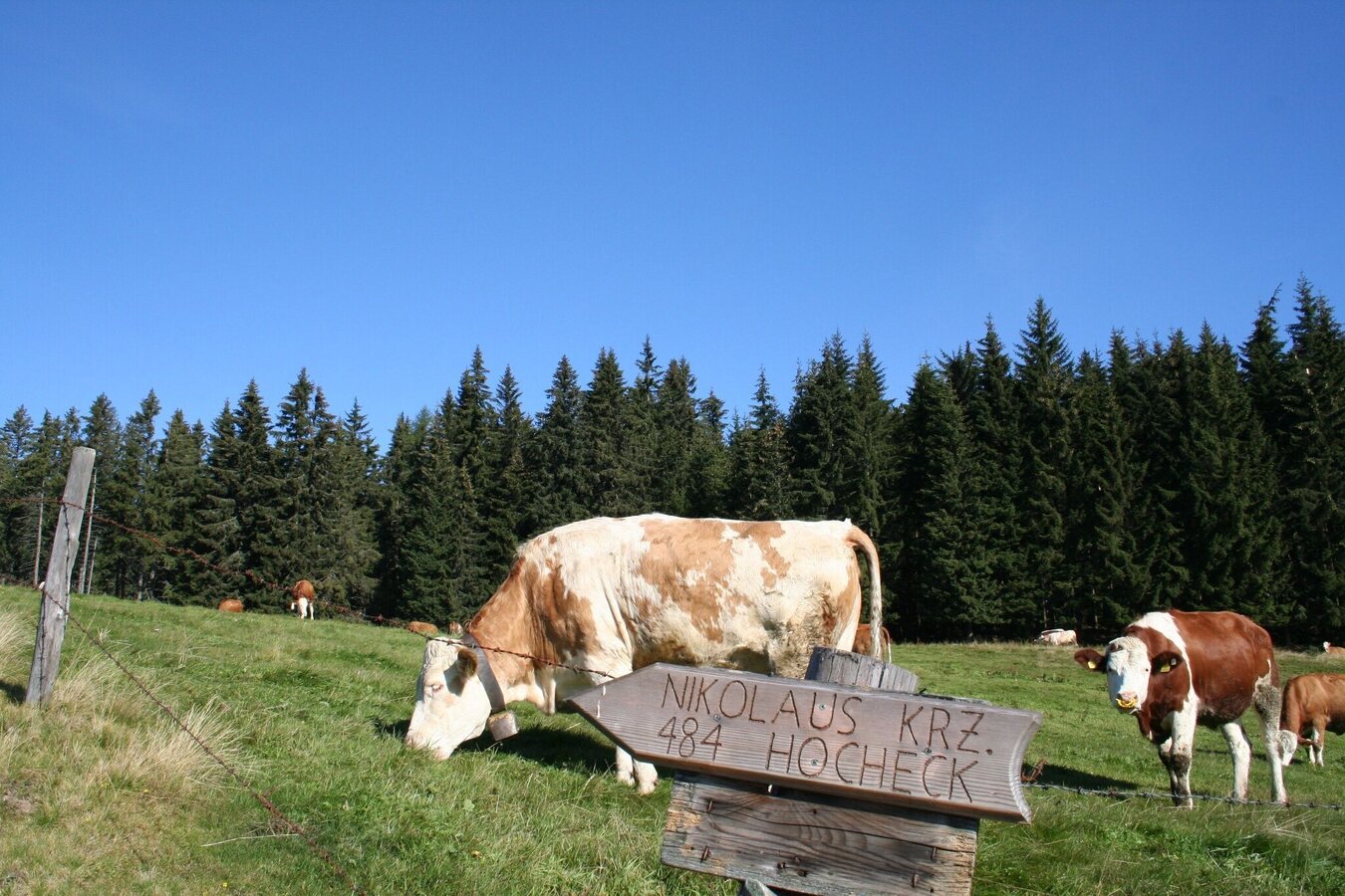
Almwirtschaft auf der Malleisten Alm | © TV Hochsteiermark | Maria Steindl
3/4
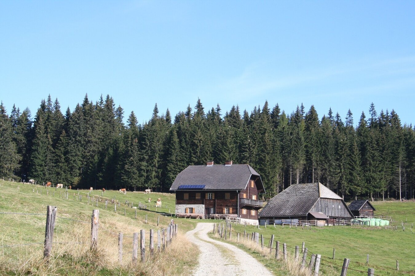
Malleistenalm-Hütte | © TV Hochsteiermark | Maria Steindl
4/4
What the weather will be like Krieglach (608m)
Today, 01.08.2026
Possibly sunny spells in the early morning, later heavy clouds with frequent thunderstorms.Morning

23°C
sr.Regenwahrscheinlichkeit
0%
sr.Windstärke
5 km/h
Noon

28°C
sr.Regenwahrscheinlichkeit
50%
sr.Windstärke
5 km/h
Night
24°C
sr.Regenwahrscheinlichkeit
65%
sr.Windstärke
10 km/h
Tomorrow, 02.08.2026
Dry and sunny throughout the day with hardly any clouds.Morning
21°C
sr.Regenwahrscheinlichkeit
5%
sr.Windstärke
5 km/h
Noon
28°C
sr.Regenwahrscheinlichkeit
20%
sr.Windstärke
10 km/h
Night
25°C
sr.Regenwahrscheinlichkeit
20%
sr.Windstärke
5 km/h
Forecast
02.08.2026
19°C
29°C
03.08.2026
19°C
32°C
04.08.2026
19°C
33°C
