


Legend trail no. 1
Characteristics
SkillThe tour in numbers
Level of difficulty
easy
Route
9,9 km
Time
2:50 h
Uphill
166 hm
Downhill
167 hm
Highest point
876 m
Beautiful circular hiking trail along the saga boards with a magnificent view of the Ötscher and Gemeindealpe peaks
This circular hiking trail leads from Mitterbach via the Göschlhof and Kapeller (magnificent view of the Gemeindealpe and Ötscher) and through the Mühlgraben to the entrance of the Naturpark-Ötscher Tormäuer at the Erlaufstausee. Along the Erlauf reservoir and then via Hagenstraße and Kapschgasse back to Mitterbach.
Best season
January
March
March
April
May
June
July
August
September
October
November
December
More information
how to get to Mitterbach
Either at the village square directly in Mitterbach or at the lift parking lot of the Gemeindealpe
Either at the village square directly in Mitterbach or at the lift parking lot of the Gemeindealpe
We start at the village square and walk along the Seestraße to the lift parking lot of the Gemeindealpe. We cross the "Maierpark" and come to the first legend board on the Schwurwiese and then continue to the junction with the main road. We cross this and walk along the Via Sacra to the Göschlhof (2nd plaque). we keep to the right until we come to the Kapeller (3rd plaque).
A short stretch on the path towards Walstern, at the fork in the Walstern we go straight on and walk through the Mühlgraben (4th panel) to the main road. Follow this to the entrance of the Ötscher-Tormäuer Nature Park and then turn right. Along the Erlaufstausee lake, past the suspension bridge, we pass the fifth Sagentafel (Spielmäuer). At the next fork we keep left and walk along Hagenstraße and Kapschgasse back to Mitterbach.
After the Protestant church we go straight ahead and come back to the village square.
Emergency call mountain rescue: 140
Emergency call rescue: 144
Emergency reporting tip - provide answers to the six W questions: What happened? How many injured? Where did the accident happen (possibly GPS coordinates)? Who is reporting (callback number)? When did the accident happen? Weather at the accident site?
Safety tips for a carefree hiking trip with dog can be found here
Proper backpacking makes many things easier: pack heavy things first. The water bottle should always be within easy reach in a side pocket. All things that are often needed, such as sunglasses, camera or hiking map, belong on top. An emergency kit including blister plaster belongs in every backpack and dressing according to the "onion system" is always recommended!Sturdy hiking shoes are recommended.
Do not forget your camera!
Detour on the waterway (fish trail)
Coming from Graz: Take the ÖBB from Graz main station to Bruck/Mur, then change to MVG bus line 172 to Mariazell and take line 197 to Mitterbach.
Coming from Salzburg: ÖBB Westbahn to St. Pölten, then change to the Mariazellerbahn.
Coming from Vienna:
Variant 1: Postbus from Vienna main station/bus station to Mariazell
Option 2: ÖBB Westbahnhof to St. Pölten, then change to the Mariazellerbahn
Tourism Association Hochsteiermark - Office Mariazeller Land
Main square 13, 8630 Mariazell
T: +43 3882 2366
Hiking map of the tourist association Hochsteiermark - Mariazeller LandMap & downloads
Gallery
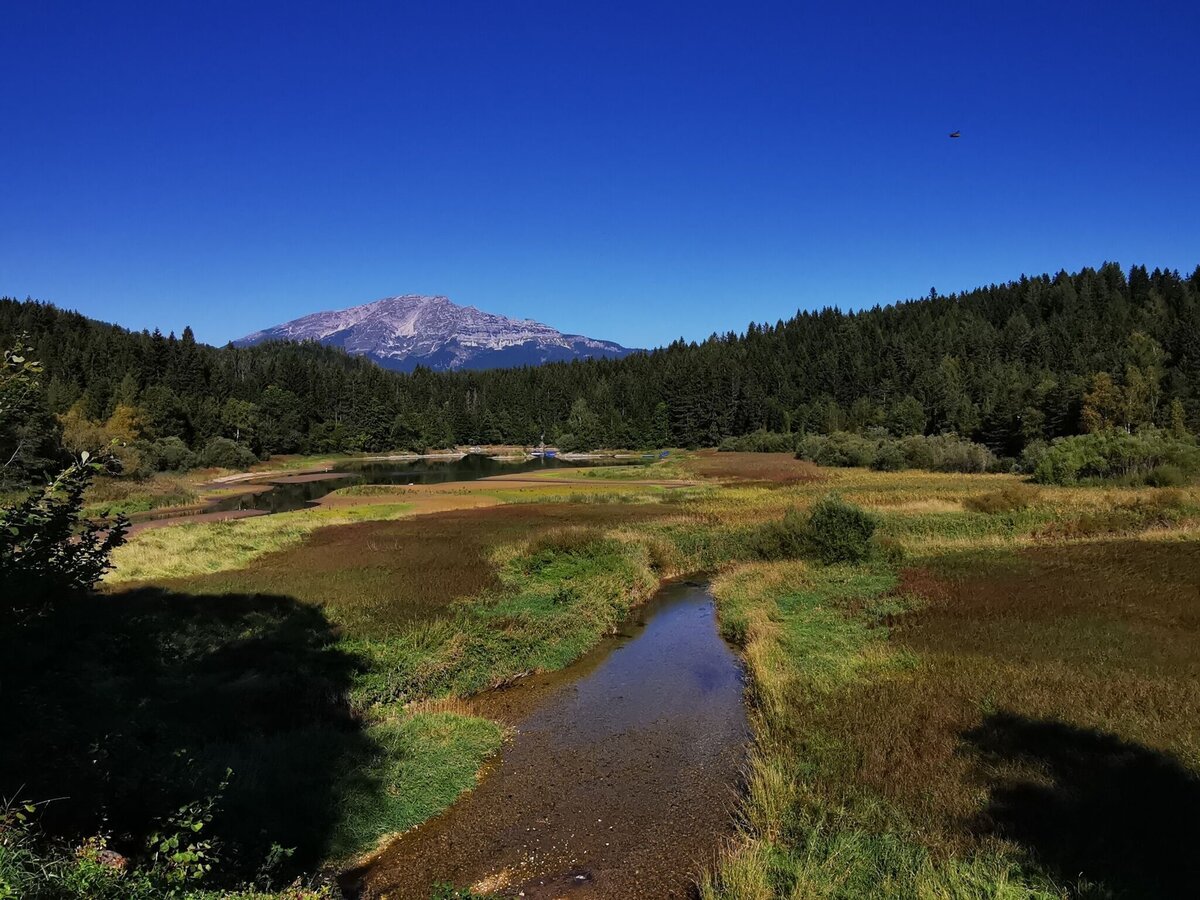
Erlaufstausee mit Blick zum Ötscher | © TV Hochsteiermark | Brigitte Digruber
1/9
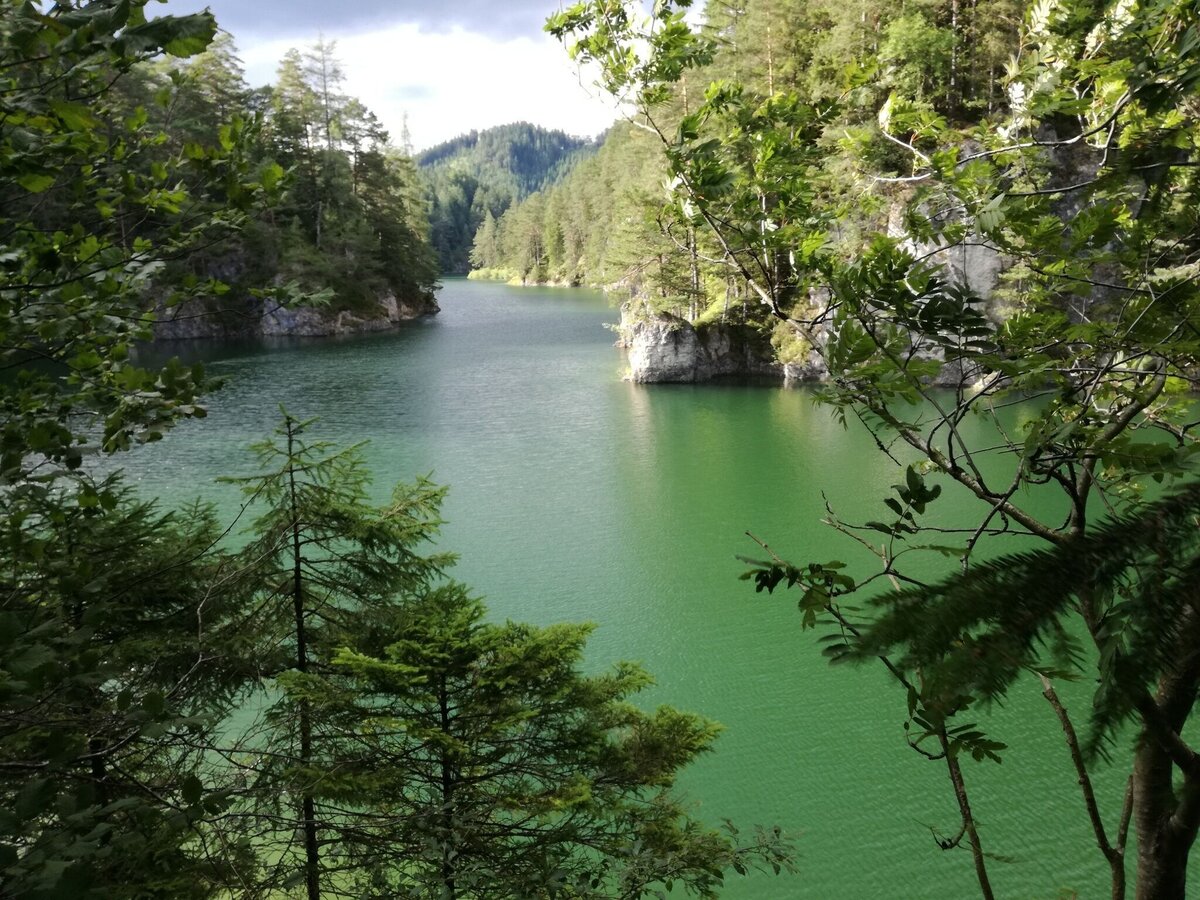
Erlaufstausee in Mitterbach | © TV Hochsteiermark | Brigitte Digruber
2/9
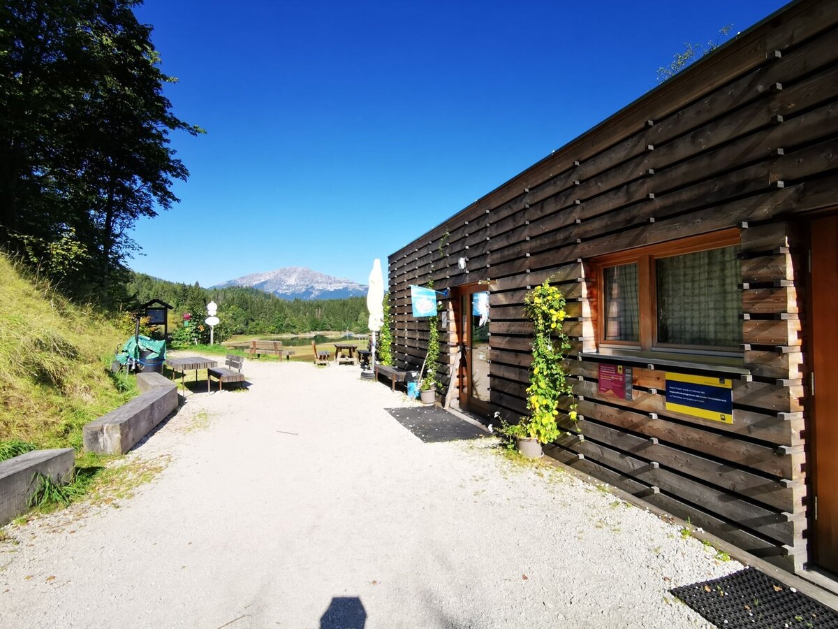
Eingang Stapelhaus am Erlaufstaussee | © TV Hochsteiermark | Brigitte Digruber
3/9
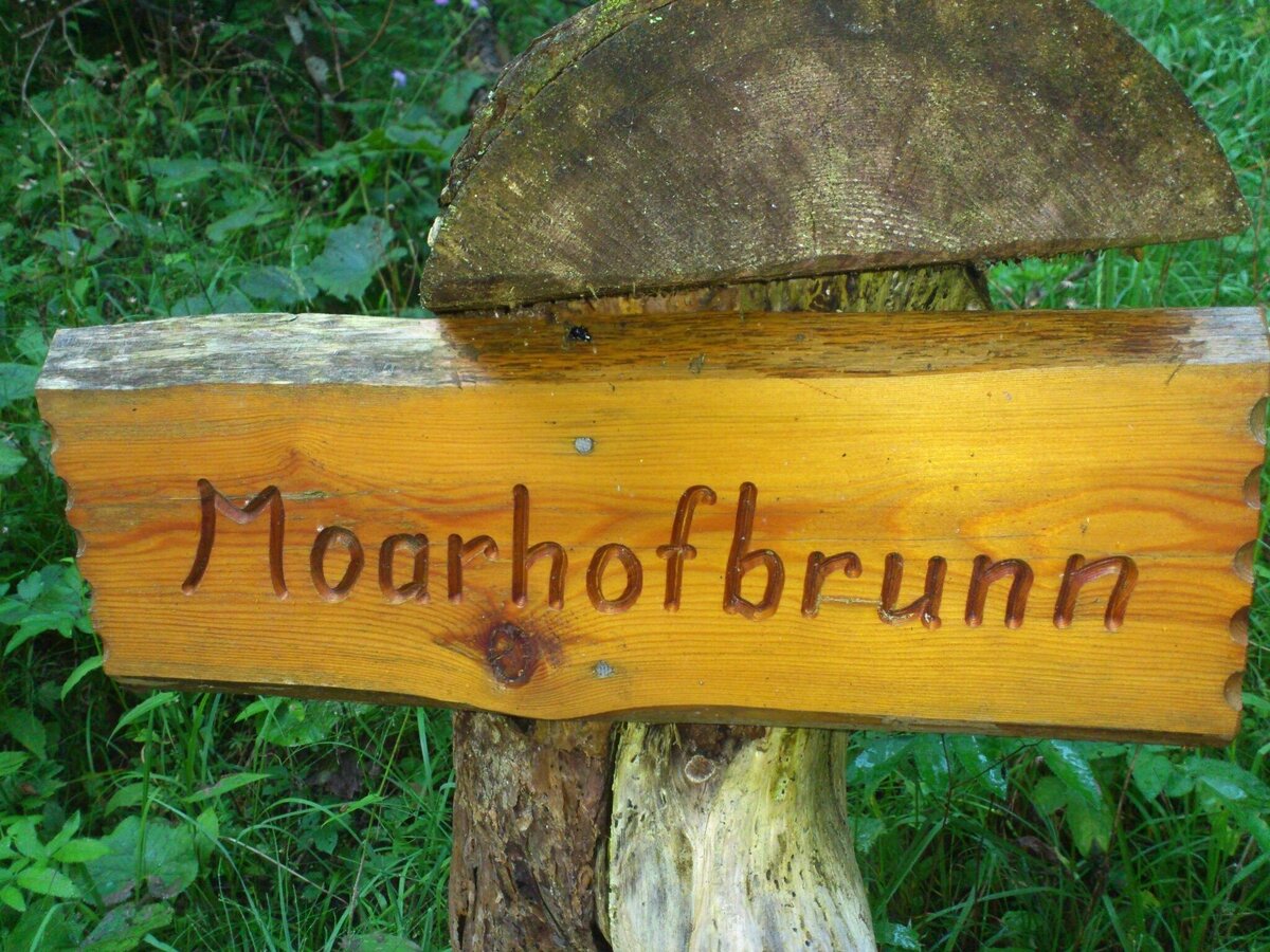
Moarhofbrunn | © TV Hochsteiermark | Brigitte Digruber
4/9
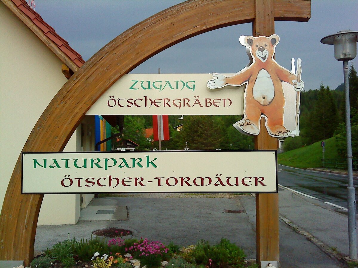
Eingang zum NP Ötscher Tormäuer | © TV Hochsteiermark | Brigitte Digruber
5/9
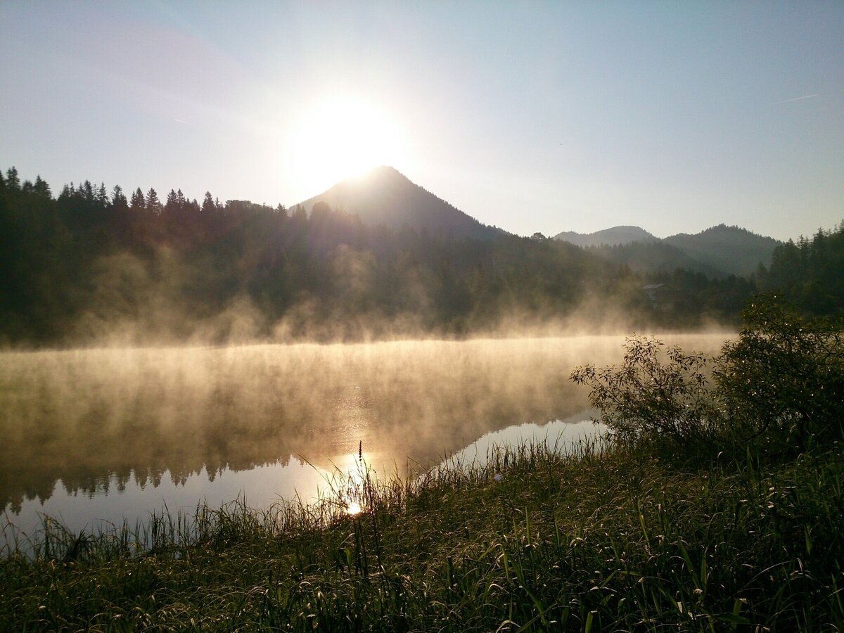
Morgenstimmung... | © TV Hochsteiermark | Brigitte Digruber
6/9
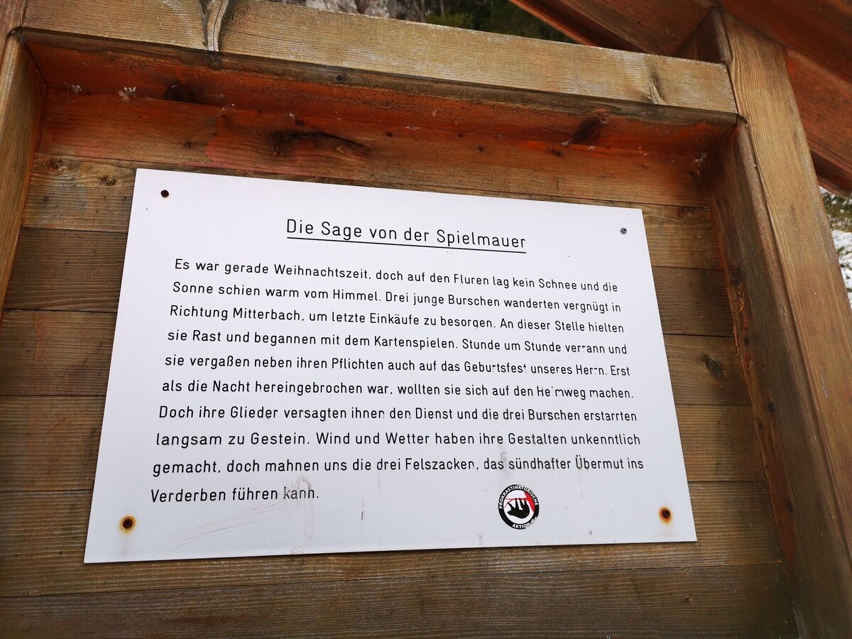
Sagentafel "Die Sage von der Spielmauer" am Erlaufstausee | © TV Hochsteiermark | Brigitte Digruber
7/9
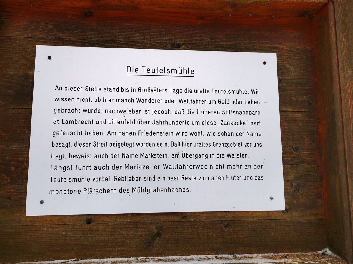
Sagentafel "Die Teufelsmühle" im Mühlgraben | © TV Hochsteiermark | Brigitte Digruber
8/9
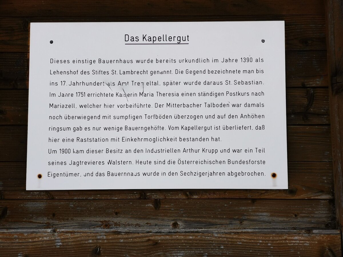
Sagentafel Kapellergut | © TV Hochsteiermark | Brigitte Digruber
9/9
