


Hike from Etmißl to Floning
Characteristics
FitnessThe tour in numbers
Level of difficulty
medium
Route
7,5 km
Time
5:30 h
Uphill
921 hm
Downhill
921 hm
Highest point
1583 m
Those who climb the Floning know the Hochschwab by sight. Some sections of this tour open up the view of the Hochschwab massif again and again.
This tour takes us along forest paths and fort roads to the summit meadow with the Floning summit cross.
Trail conditions: forest trails, forest roads, driveways and steep tracks.Requirements: Different trail signs. Good sense of direction advantageous, additionally a map e.g. scale 1:50.000 - www.amap.at Refreshment stops: None directly on the trail - from Franzosenkreuz about 15 minutes to Gasthaus Sattler.Difficulty: MediumTotal walking time (there and back): 5 1/2 hoursDifference in altitude: just under 900 mSpecial features: Some trail sections open up profound insights into the heart of Hochschwab.TIP! After the tour stop at the cozy inns in Etmißl (Landgasthof Hubinger - www.hubinger.com or Dorfwirt Wider)
Best season
January
February
March
April
May
June
July
August
September
October
November
December
More information
Directions:
From: The south. Take the S35 to Bruck, from there take the S6 to Kapfenberg and continue on the B20.
From the north: Via Mariazell and the Seeberg on the B20From the east: Via Semmering on the S6 to Kapfenberg and further on the B20
Parkplätze beim Tennisplatz
From the tennis court in Etmißl on the marked path to the Franzosenkreuz. A forest path, partly rough, connects to a forest road (Steinmann). Close to it - above the Weißenbacheralm, 1200 m - the uphill forest road leads to the Kulmspitzsattel. Shortly before it, a driveway goes uphill. At the fence there is a tree on whose trunk the name "Thörl" is visible. This is a boundary marker. Follow the fence uphill and cross a crossing at the level of boundary stone no. 65, approx. 1480m. A now clear path leads to the forest border and summit meadow. A few rocks and the summit cross mark the highest point on the Floning.
Descent: As ascent
Bergrettung: Notruf 140
Mountain bootsIn any case, the following should be put in the backpack as a precaution: rain, wind and cold protection, first-aid kit, sunscreen, provisions for the tour and a drinking bottle (instead of cans!).
By train to Bruck/Mur or Kapfenberg station and from there by bus to Thörl. From Thörl with regional cab companies to Etmißl.
Line 171 (Bruck/Mur - Aflenz - Turnau) orLine 172 (Bruck/Mur - Aflenz - Mariazell)Information on train and bus at www.oebb.at and www.verbundlinie.at
Regional cab companies:Cab Hochschwabreisen (Tel. 03861/2400), Taxi Gombotz (Tel. 03862/24990) and Taxi Steiner (Tel. 03862/51333 18).
Weitere Informationen:Tourismusverband HochsteiermarkTel. +43(0)3862 55020www.hochsteiermark.at
Map & downloads
Gallery
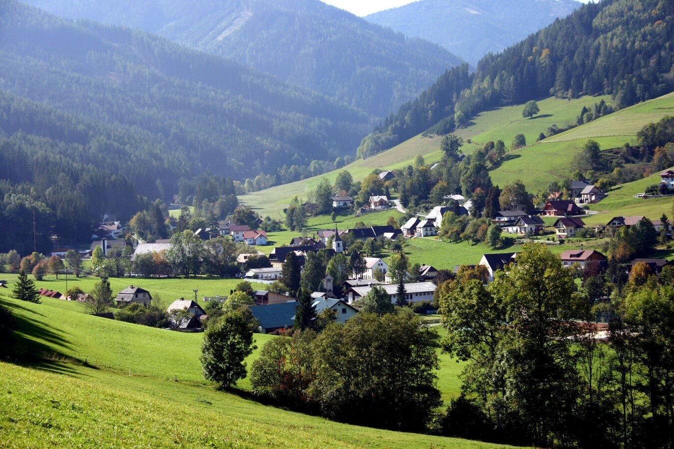
Familienerholungsdorf Etmißl | © Marktgemeinde Thörl | Karl Mühlhauser
1/4
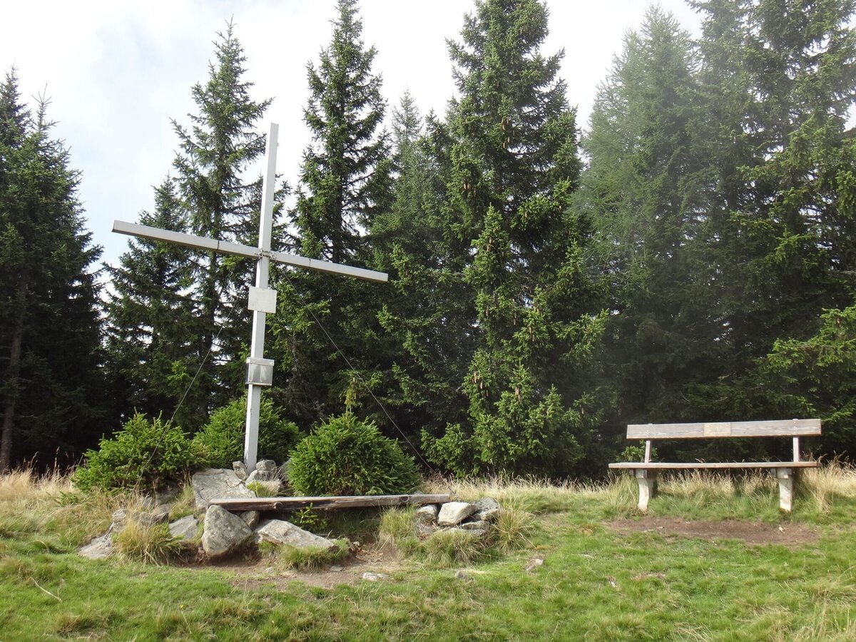
Gipfelkreuz am Floning | © Marktgemeinde Thörl | Karl Mühlhauser
2/4
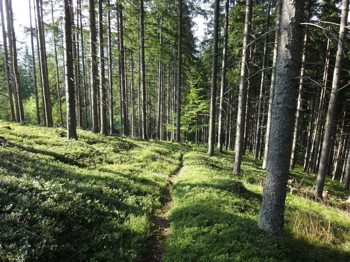
Am Weg zum Floning | © Marktgemeinde Thörl | Karl Mühlhauser
3/4
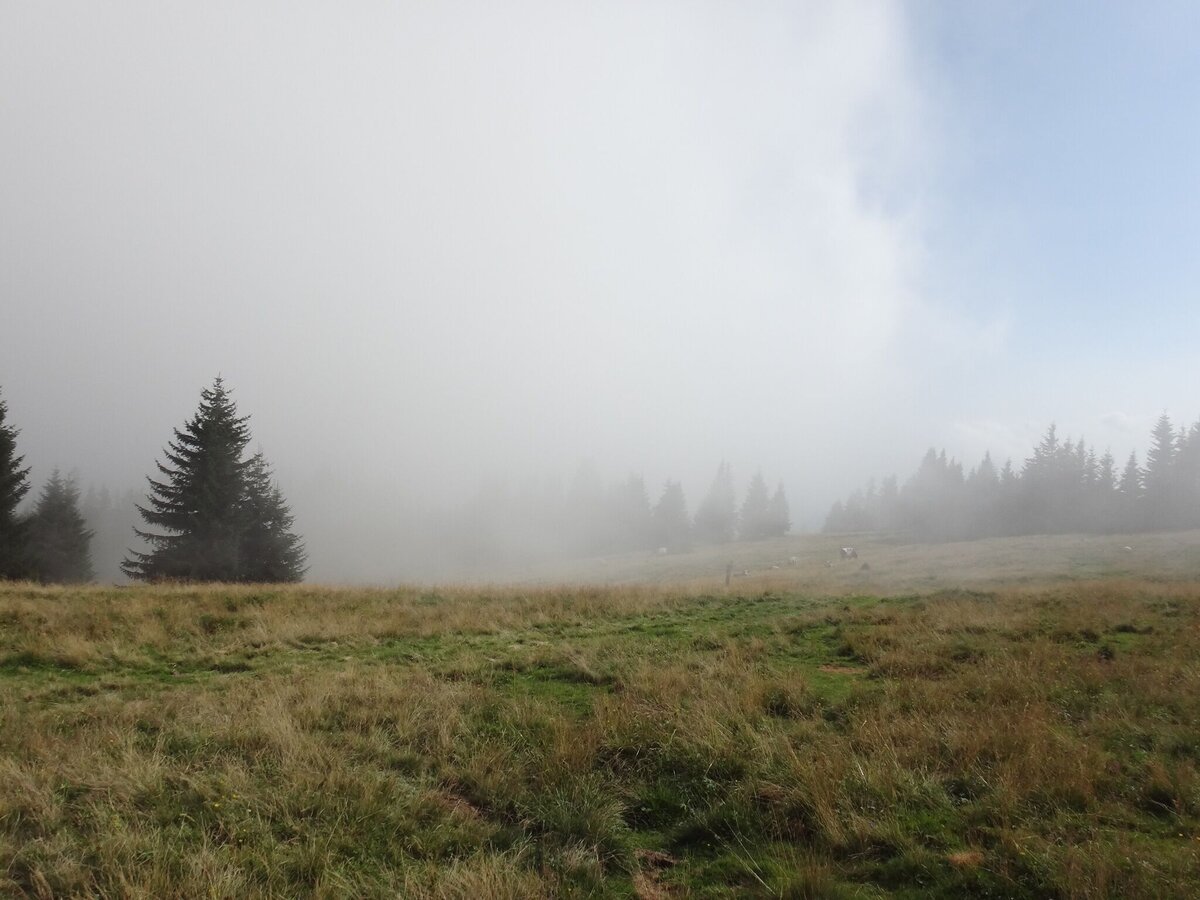
Am Floning Gipfel | © Marktgemeinde Thörl | Karl Mühlhauser
4/4

What the weather will be like Thörl (643m)
Today, 25.09.2026
Morning clouds will clear gradually. Then frequent sunny periods.Morning

6°C
sr.Regenwahrscheinlichkeit
15%
sr.Windstärke
0 km/h
Noon
16°C
sr.Regenwahrscheinlichkeit
0%
sr.Windstärke
5 km/h
Night
10°C
sr.Regenwahrscheinlichkeit
0%
sr.Windstärke
5 km/h
Tomorrow, 26.09.2026
Dry and sunny throughout the day with hardly any clouds.Morning

6°C
sr.Regenwahrscheinlichkeit
0%
sr.Windstärke
0 km/h
Noon
19°C
sr.Regenwahrscheinlichkeit
0%
sr.Windstärke
5 km/h
Night
11°C
sr.Regenwahrscheinlichkeit
0%
sr.Windstärke
5 km/h
Forecast
27.09.2026
5°C
21°C
28.09.2026

7°C
22°C
29.09.2026
9°C
23°C
