


From the Turnaueralm to the Rauschkogel
Characteristics
SkillThe tour in numbers
Level of difficulty
easy
Route
2,5 km
Time
1:00 h
Uphill
352 hm
Downhill
10 hm
Highest point
1717 m
From the summit of the Rauschkogel, you can enjoy a magnificent panoramic view – stretching from the Hohe Veitsch all the way to the Hochschwab.
From the Turnauer Alm, follow the marked trail in the direction of the Rauschalm until you reach the junction for the Rauschkogel. Here, an unmarked but clearly visible path begins, leading steeply uphill through the forest.
Once above the tree line, views open up to the surrounding mountains. The trail continues across a short exposed section that requires surefootedness, before reaching the summit. From here, you can enjoy a stunning panoramic view – stretching from the Hohe Veitsch to the Hochschwab.
Best season
January
March
March
April
May
June
July
August
September
October
November
December
More information
From the south: From Kapfenberg, take the B20 via Thörl and Aflenz to Turnau.
From the north: From Mariazell, follow the B20 over the Seeberg Pass to Turnau.
From the east: Take the S6 via the Semmering to St. Lorenzen, then continue over the Pogusch to Turnau.
Designated parking areas in Turnau
We start our hike at the Turnauer Alm and follow the marked trail toward the Rauschalm (serviced when livestock are grazing) until we reach the turnoff to the Rauschkogel. From there, an unmarked but clearly visible path leads us steeply uphill through the forest.
Above the tree line, the view opens up to the surrounding mountains. The trail then takes us across a short exposed section that requires surefootedness, before continuing to the summit. From the top, we are rewarded with a stunning panoramic view stretching from the Hohe Veitsch to the Hochschwab.
Mountain rescue emergency number: 140
European emergency number (from mobile phones): 112
Packing your backpack properly makes things much easier: heavy items should go in first. Your water bottle should always be within easy reach, ideally in a side pocket. Items you use frequently – such as sunglasses, camera, or hiking map – should be packed on top. An emergency kit, including blister plasters, is essential in every backpack. Dressing in layers – the “onion principle” – is always recommended!
For all hikes, be sure to wear sturdy, ankle-high hiking boots!
A stop at the cozy Rauschalm hut is a must.
By train to Kapfenberg station, then continue by bus to Turnau.
Line 170 (Bruck/Mur – Kapfenberg – Aflenz – Turnau/Mariazell)
For information on train and bus connections, visit:
www.oebb.at and www.verbundlinie.at
Local taxi services:
Taxi Hochschwabreisen (Tel. +43 3861 2400)
Taxi Gombotz (Tel. +43 3862 24990)
Map & downloads
Gallery
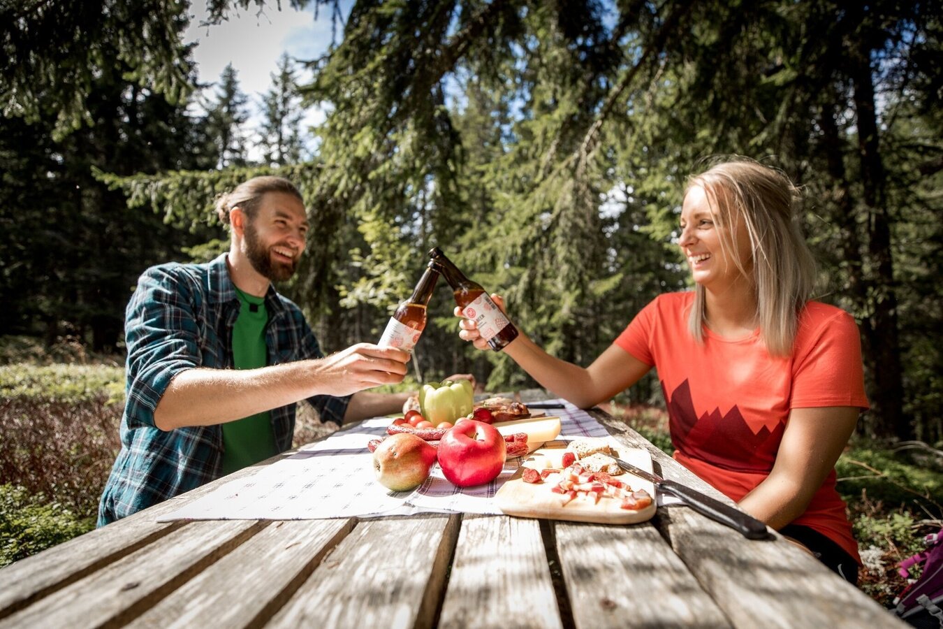
Jausenzeit | © TV Hochsteiermark | nicoleseiser.at
1/3
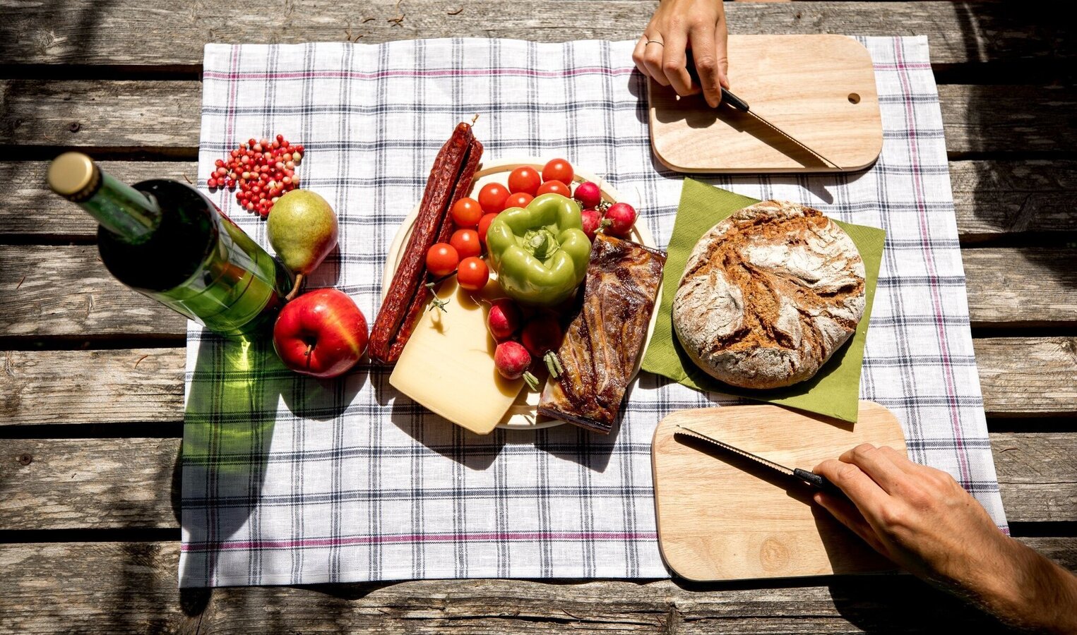
Brotzeit | © TV Hochsteiermark | nicoleseiser.at
2/3
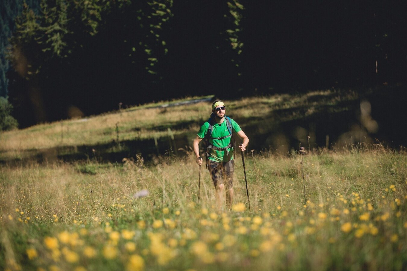
Wandern | © TV Hochsteiermark | nicoleseiser.at
3/3

What the weather will be like Turnau (756m)
Today, 29.09.2026
Dry and sunny throughout the day with hardly any clouds.Morning

8°C
sr.Regenwahrscheinlichkeit
0%
sr.Windstärke
5 km/h
Noon
21°C
sr.Regenwahrscheinlichkeit
0%
sr.Windstärke
10 km/h
Night
13°C
sr.Regenwahrscheinlichkeit
0%
sr.Windstärke
5 km/h
Tomorrow, 30.09.2026
Dry and sunny throughout the day with hardly any clouds.Morning
7°C
sr.Regenwahrscheinlichkeit
0%
sr.Windstärke
5 km/h
Noon
21°C
sr.Regenwahrscheinlichkeit
0%
sr.Windstärke
10 km/h
Night
13°C
sr.Regenwahrscheinlichkeit
0%
sr.Windstärke
5 km/h
Forecast
01.10.2026
7°C
21°C
02.10.2026

7°C
21°C
03.10.2026
6°C
21°C
