


From Mürzzuschlag to the Große Scheibe
Characteristics
SkillThe tour in numbers
Level of difficulty
medium
Route
13,6 km
Time
4:30 h
Uphill
868 hm
Downhill
868 hm
Highest point
1457 m
The beautiful view from the summit of the Große Scheibe makes Mürzzuschlag's local mountain a popular hiking and excursion destination, and not just for the locals. The mountain hut built by Toni Schruf, the Mürzzuschlag ski pioneer at the turn of the century, invites you to linger and enjoy the magnificent view.
From the centre of Mürzzuschlag we hike into Obere Bahngasse and on to Scheibenweg. The well-signposted and marked trail leads along the 821 and 822 markings through woodland and along forest roads to the Scheiben Hütte and the summit cross of the Große Scheibe (1,473m).
Best season
January
February
March
April
May
June
July
August
September
October
November
December
More information
Coming from Vienna or Graz: S6 - Semmering motorway - exit Mürzzuschlag.
Paid parking spaces are available in Mürzzuschlag town centre (Mon - Sat). Alternatively, you can park your car at the Park & Ride car park at Mürzzuschlag train station.
Paid parking spaces are available in Mürzzuschlag town centre (Mon - Sat). Alternatively, you can park your car at the Park & Ride car park at Mürzzuschlag train station.
We can start our tour in the town centre or at the Park & Ride in Mürzzuschlag, where there are plenty of parking spaces available. We follow path no. 821 through the railway subway into Obere Berggasse and turn into Scheibenweg in front of the former Blümel nursery and continue uphill to the end of the settlement. Alternatively, you can park your car in the small car park at the end of this settlement ‘Am Steirerhof’. We walk uphill along a narrow, barely marked path along path no. 821 or 822. After approx. 40 minutes we reach a fork in the path where we have the option of following the markings on the right along the forest road or going straight ahead along the steep path (note: the path is very steep!). We finally follow the forest road, which gradually becomes steeper, and then turn right again into a wooded area. We soon come to a clearing, which offers us a beautiful view of Mürzzuschlag and our destination, the Scheibenhütte and the summit cross. After about 10 minutes, we finally reach the Scheibenhütte, which offers a wonderful view of Mürzzuschlag and the Mürztal valley. We hike back the same way.
Emergency call mountain rescue: 140
Tip for reporting an emergency - answer the six following questions: What has happened? How many injured? Where did the accident happen (possibly GPS coordinates)? Who is reporting (callback number)? When did the accident happen? Weather at the scene of the accident?
Packing your rucksack correctly makes many things easier:
Pack heavy items first.
The water bottle should always be within easy reach in a side pocket.
All items that are often needed, such as sunglasses, camera or hiking map, should be on top.
Emergency equipment including blister plasters should be in every rucksack and it is always advisable to dress according to the ‘onion system’!
Don't forget good footwear and rain protection - just in case!
The starting point of the hike can be reached by train and bus.
ÖBB www.oebb.at or Verbundlinie Steiermark www.busbahnbim.at
With the BusBahnBim app from Verbundlinie, timetable information has never been easier: all bus, train and tram connections in Austria can be called up by entering locations and/or addresses, stops or important points. The app is available as a free app for smartphones (Android, iOS) - on Google Play and in the App Store.
Map & downloads
Gallery
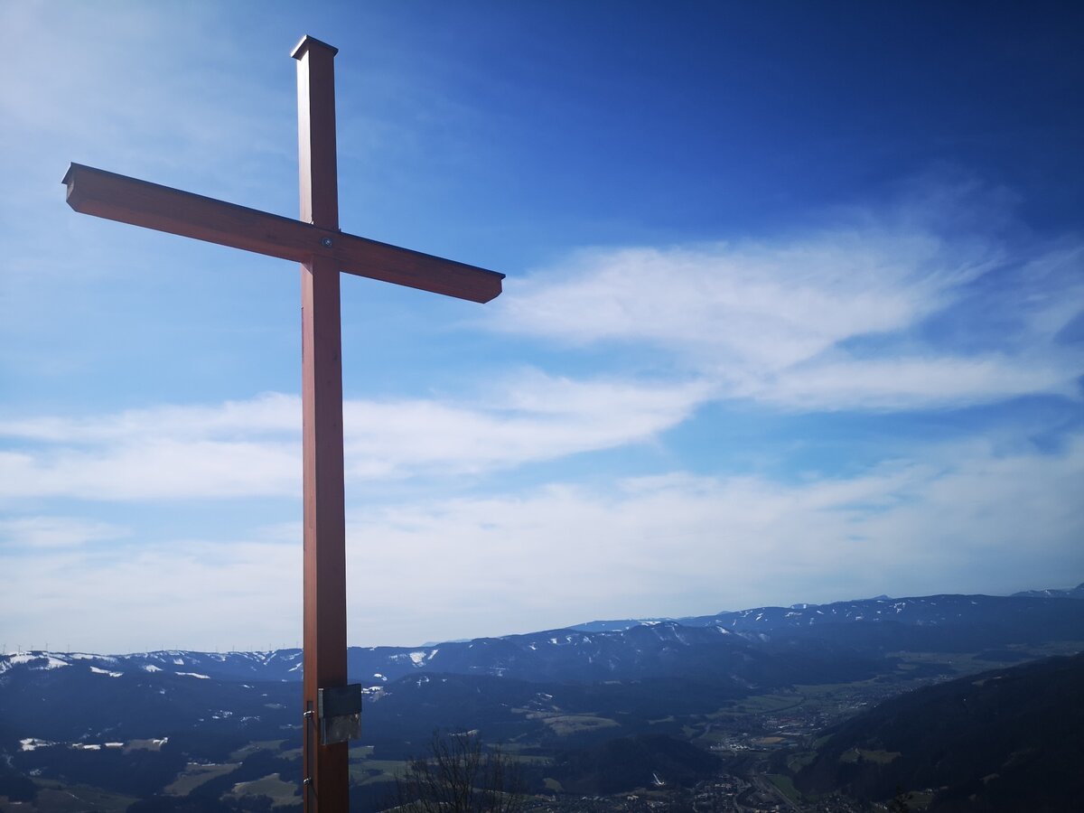
Das Gipfelkreuz auf der Großen Scheibe mit herrlichem Blick auf das Mürztal. | © TV Hochsteiermark | Silke Blengl
1/4
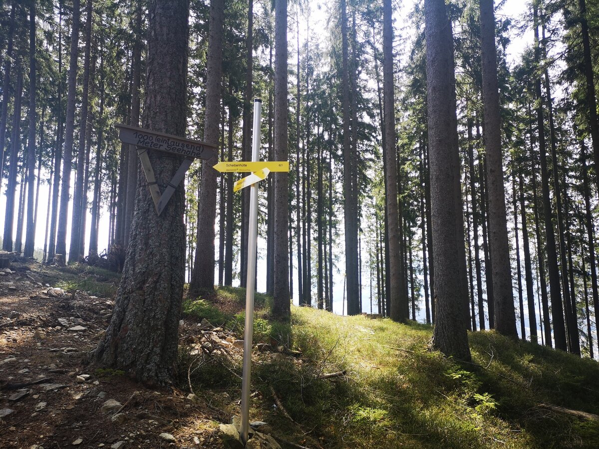
Der Weg zur Großen Scheibe ist sehr gut beschildert und markiert! | © TV Hochsteiermark | Silke Blengl
2/4
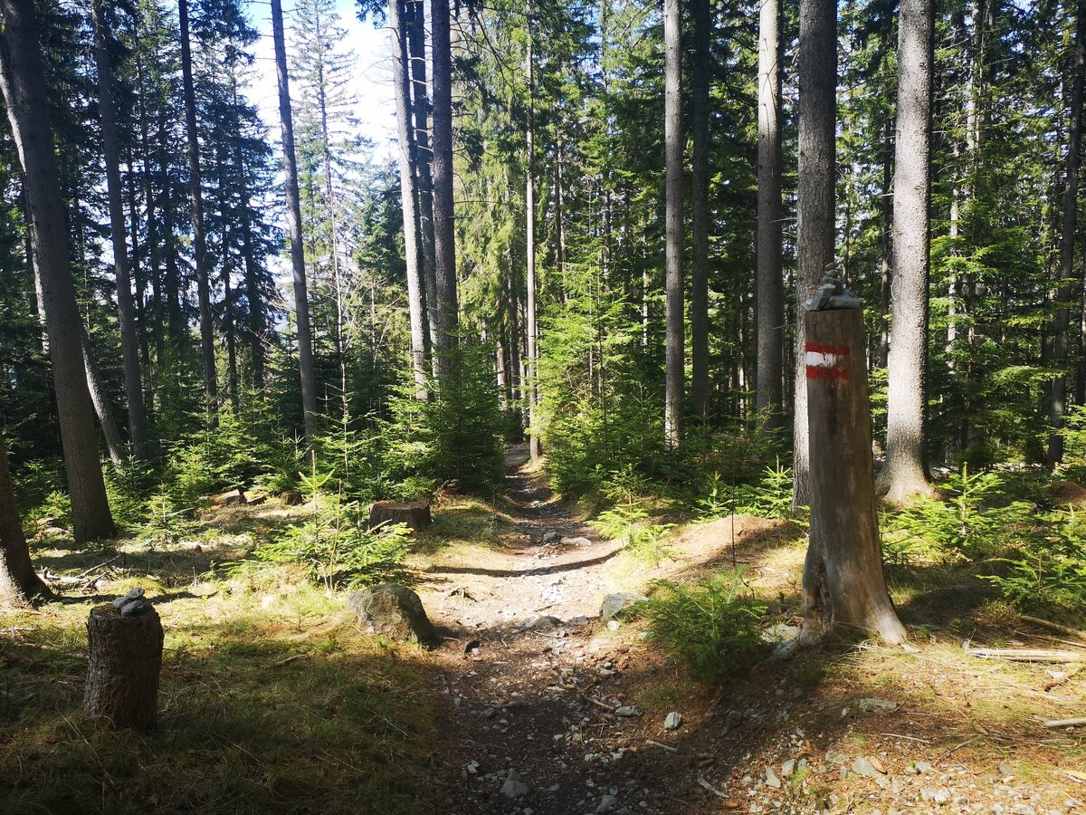
Der Weg zur Scheibe führt vorwiegend entlang von Waldwegen. | © TV Hochsteiermark | Silke Blengl
3/4
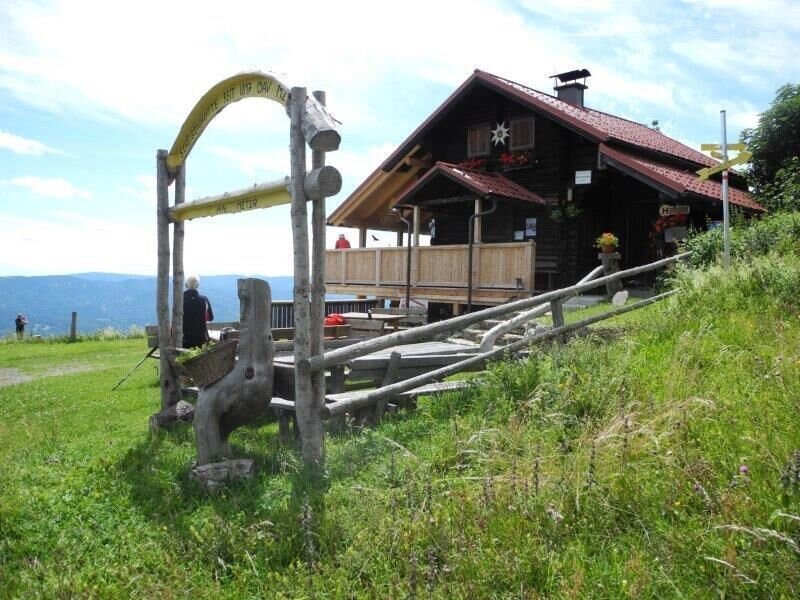
mit dem bus zum berg - überschreitung der hohen scheibe_img_37303555 | © Alpenverein Mürzzuschlag | Annamaria Eichtinger
4/4

What the weather will be like Mürzzuschlag (674m)
Today, 23.10.2026
The day starts sunny, but will be partly cloudy in the afternoon.Morning

0°C
sr.Regenwahrscheinlichkeit
0%
sr.Windstärke
0 km/h
Noon

12°C
sr.Regenwahrscheinlichkeit
0%
sr.Windstärke
10 km/h
Night

6°C
sr.Regenwahrscheinlichkeit
5%
sr.Windstärke
0 km/h
Tomorrow, 24.10.2026
Heavy rain in the morning, drying up in the afternoon.Morning

5°C
sr.Regenwahrscheinlichkeit
80%
sr.Windstärke
5 km/h
Noon

7°C
sr.Regenwahrscheinlichkeit
65%
sr.Windstärke
10 km/h
Night

4°C
sr.Regenwahrscheinlichkeit
20%
sr.Windstärke
5 km/h
Forecast
25.10.2026
0°C
11°C
26.10.2026
3°C
13°C
27.10.2026
1°C
14°C
