


Crossing the Hohe Veitsch in the Mürzer Oberland Nature Park
Characteristics
SkillThe tour in numbers
Level of difficulty
challenging
Route
17,5 km
Time
9:00 h
Uphill
1920 hm
Downhill
1920 hm
Highest point
1978 m
Whoever tackles this tour in the Mürzer Oberland Nature Park in Hochsteiermark, should have an excellent physical condition (about 18 kilometers and almost 2000 Hm) and an absolute surefootedness as well as master the safe movement in pathless, rocky terrain. But then there is a sensational Veitschrunde with wonderful landscape impressions!
The beginning is still harmless, only in the upper part of the so-called Rodel, the first part of the tour, there is rock contact. Then, however, the Wildkamm is first climbed over its southeast ridge, which is partly secured with hooks (no via ferrata!). Returning to the Veitsch plateau, we reach the highest point of the mountain massif. At the nearby Graf Meranhaus you should definitely take a break, because afterwards the route goes steeply downhill over the so-called Goassteign', before it goes over the Predigtstuhl south flank (climbing terrain, partly crumbly rock) back to the high plateau.
The descent takes place via the toboggan already known from the ascent.
Best season
January
March
March
April
May
June
July
August
September
October
November
December
More information
Several parking spaces at the start of the tour next to the Niederalpl Landesstrasse.
From the small village of Niederalpl we first hike leisurely through the Rodel, a striking ditch on the north side of the Veitsch to a short rock barrier. This is easily overcome by climbing and soon we are under the striking southeast ridge of the Wildkamm.
Over the ridge we climb to the small, striking summit cross - a magnificent close-up view of the Hohe Veitsch opens up before us.
Return along the ridge and up to the so-called Gingatzwiese - we soon stand on the gentle plateau of the Veitsch. Keeping to the right, we go slightly uphill to the mighty summit cross of the Hohe Veitsch, the highest point of our mountain tour.
Descending in a southerly direction for about 20 minutes, we then reach the Graf Meranhaus, a large refuge that is open almost all year round. An extensive rest is recommended, because our tour is far from over.
Now we hike up and down the plateau in an easterly direction until we reach the so-called Goassteign, a narrow path that leads steeply downhill. Following this path we reach the gently sloping alpine pasture area east of the Brunnalm.
But don't descend too far, at a clearly visible and large hunting lodge (Weitzerhütte) we turn right and head uphill towards Predigtstuhl.
Over a prominent ridge, finally through a mountain pine and alder alley, we follow a partially poorly recognizable trail to the foot of the Predigtstuhl wall.
Here you have to first climb up on the right over scree and then keep a little to the left over a brittle, exposed rock band to a small ridge step. Straight up (rock here quite firm, short rope section - as of 06 2018) to a niche with a climbing book (metal box). Once again somewhat more difficult over good rock straight up and then keep right over steep grass to the exit.
Across the plateau in a northerly direction on the hiking trail known from the ascent and again down through the toboggan to the starting point.
Most hiking and mountain tours in the Mürzer Oberland Nature Park are in alpine terrain. Especially for longer hiking and mountain tours, a good physical condition as well as surefootedness and a head for heights are recommended. On the plateaus of Rax, Schneealm and Veitsch orientation can be difficult in fog or bad weather. In winter always pay attention to avalanche danger!
Mountain rescue emergency call: 140, operation centers in Neuberg an der Mürz and Mürzzuschlag.
Proper backpacking makes a lot of things easier:Pack heavy things first. The water bottle (ideally: 1 liter or more) should always be within easy reach. All things that are often needed such as sunglasses, camera, cell phone or hiking map belong on top.
An emergency kit including blister plaster belongs in every backpack and a clothing according to the "onion system" is always recommended! Never forget rain protection for alpine tours! Helmet!
In winter, when ski touring and snowshoeing, appropriate safety equipment (avalanche transceiver, avalanche shovel and probe) is mandatory! Before the tour always call up the avalanche situation report (www.lawine-steiermark.at).
Burial search devices, avalanche shovels and probes can be rented at the nature park office for a small fee.
The tour can be approached more comfortably with an overnight stay at the Graf Meran Haus and thus divided into 2 days.
Nature Park Taxi in the Mürzer Oberland Nature Park: Tel.: +43 3857 20170, www.naturparktaxi.at
ÖBB www.oebb.at or Verbundlinie Steiermark www.busbahnbim.at.
With the BusBahnBim app of the Verbundlinie, timetable information is easier than ever: all connections by bus, train and streetcar in Austria can be queried by entering places and / or addresses, stops or important points. The app is available as a free app for smartphones (Android, iOS) - on Google Play and in the App Store.
If you want to entrust yourself to a tour operator, simply book with Steiermark Touristik, the official travel agency of Steiermark Tourismus: Tel. +43 316 4003 450, www.steiermark-touristik.com
Mürzer Oberland Nature Park Office, Tel. +43 3857 8321, www.muerzeroberland.at , open Mon. - Fri. from 8:00 a.m. - 12:00 p.m.
Styria Tourism, Tel. +43 316 4003, www.steiermark.com
TRV Hochsteiermark, tel. +43 3862 55020, www.hochsteiermark.at
Tip: the Styria Tours app, available for free on Google Play and in the App Store (Android, iOS), offers detailed first-hand information: short facts (length, duration, difficulty, ascent and descent in altitude meters, ratings), map, route descriptions, altimeter, compass, summit finder, navigation along the tour. In addition, you can create your personal favorites list of favorite tours and points, save tours and destinations offline, play social media channels and more.
Mountain, hiking and nature park guides: Information at the Nature Park Office Mürzer Oberland, Tel.: +43 3857 8321.
By the way, get your personal summit pins with the Summit Lynx App: www.summitlynx.com
In the office of the Nature Park Mürzer Oberland you will gladly receive a regional overview map free of charge.Kompass hiking maps Vienna Hausberge, Schneeberg, Rax, 1:25.000, Freytag & Berndt hiking maps Semmering, Rax, Schneeberg, Schneealpe and Hochschwab, Veitschalpe, Eisenerz, Bruck an der Mur, 1:50.000.
Tip: the free Pocket Card hiking route "From Glacier to Wine" can be found at www.steiermark.com, the High Styrian hiking map "Hoch hinaus" and the "BergZeitReise" are available free of charge at the Nature Park office.
Hiking guide "BergZeitReise" of the TRV Hochsteiermark, 2017Map & downloads
Gallery
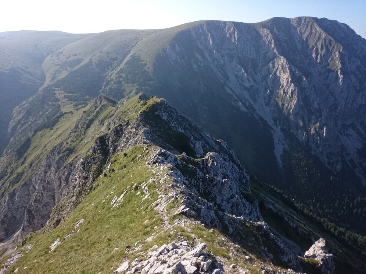
Gratanstieg zum Wildkamm | © TV Hochsteiermark | Andreas Steininger
1/13
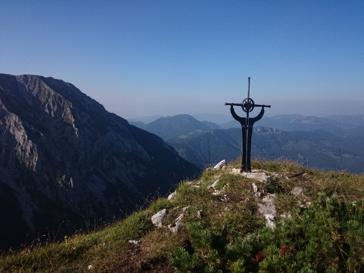
Am Gipfel des Wildkamm | © TV Hochsteiermark | Andreas Steininger
2/13
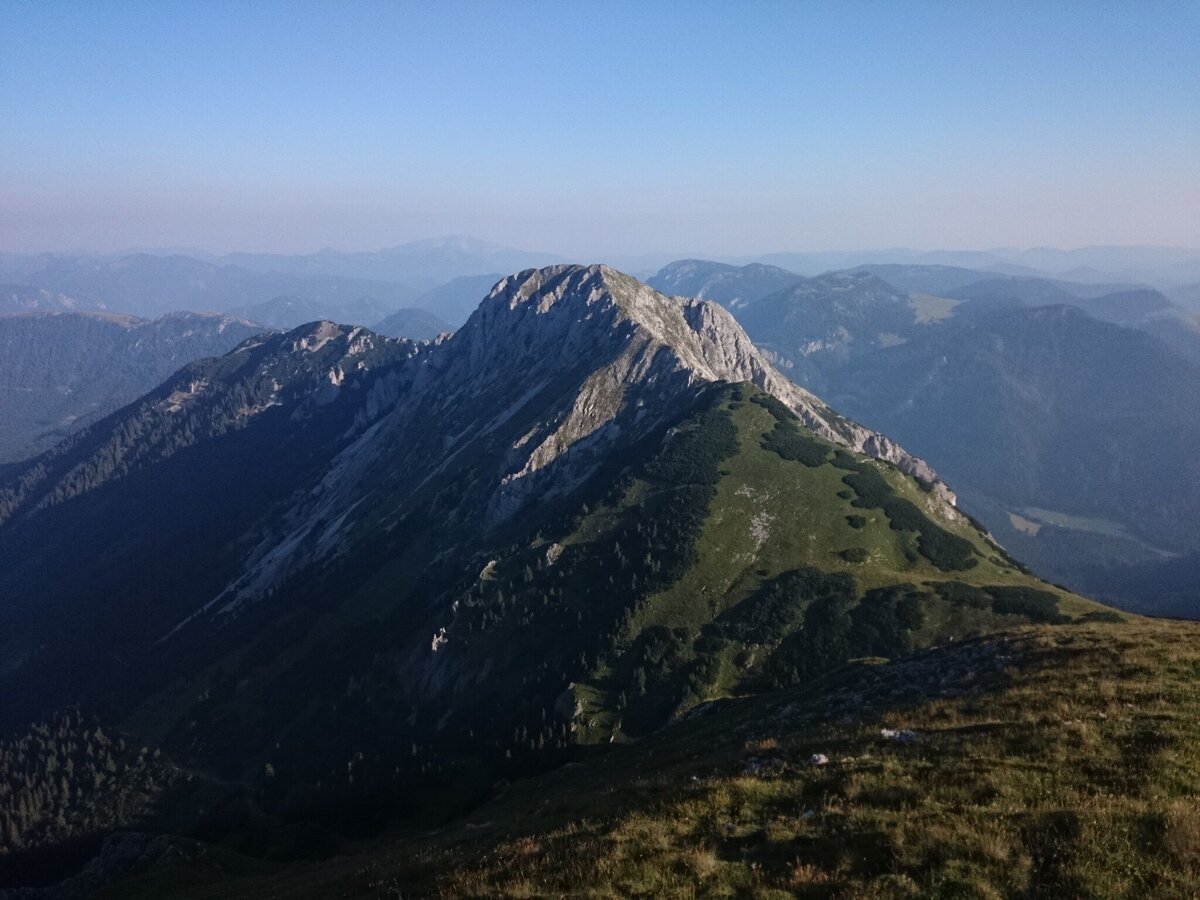
Der Wildkamm | © TV Hochsteiermark | Andreas Steininger
3/13
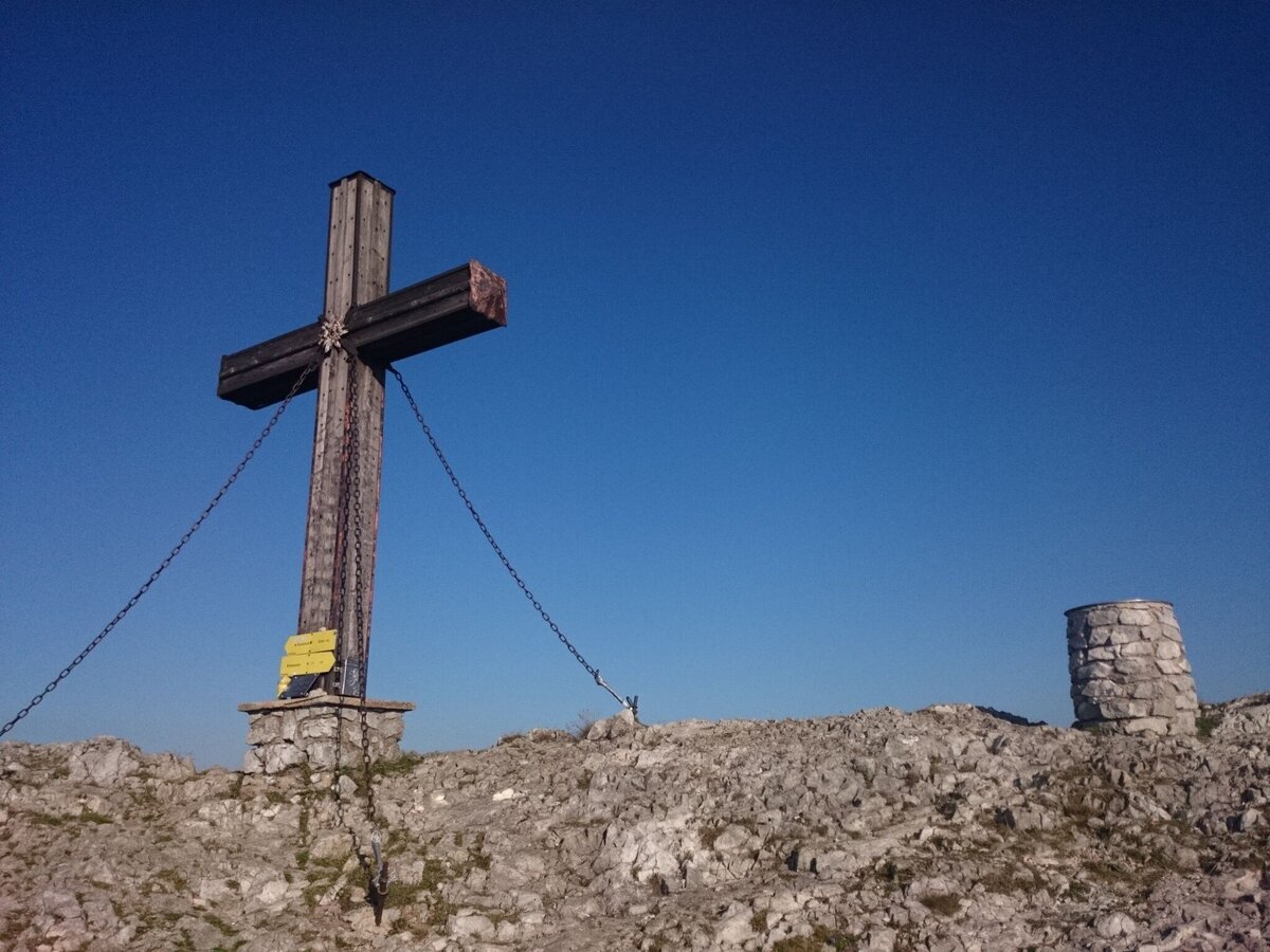
Auf der Hohen Veitsch | © TV Hochsteiermark | Andreas Steininger
4/13
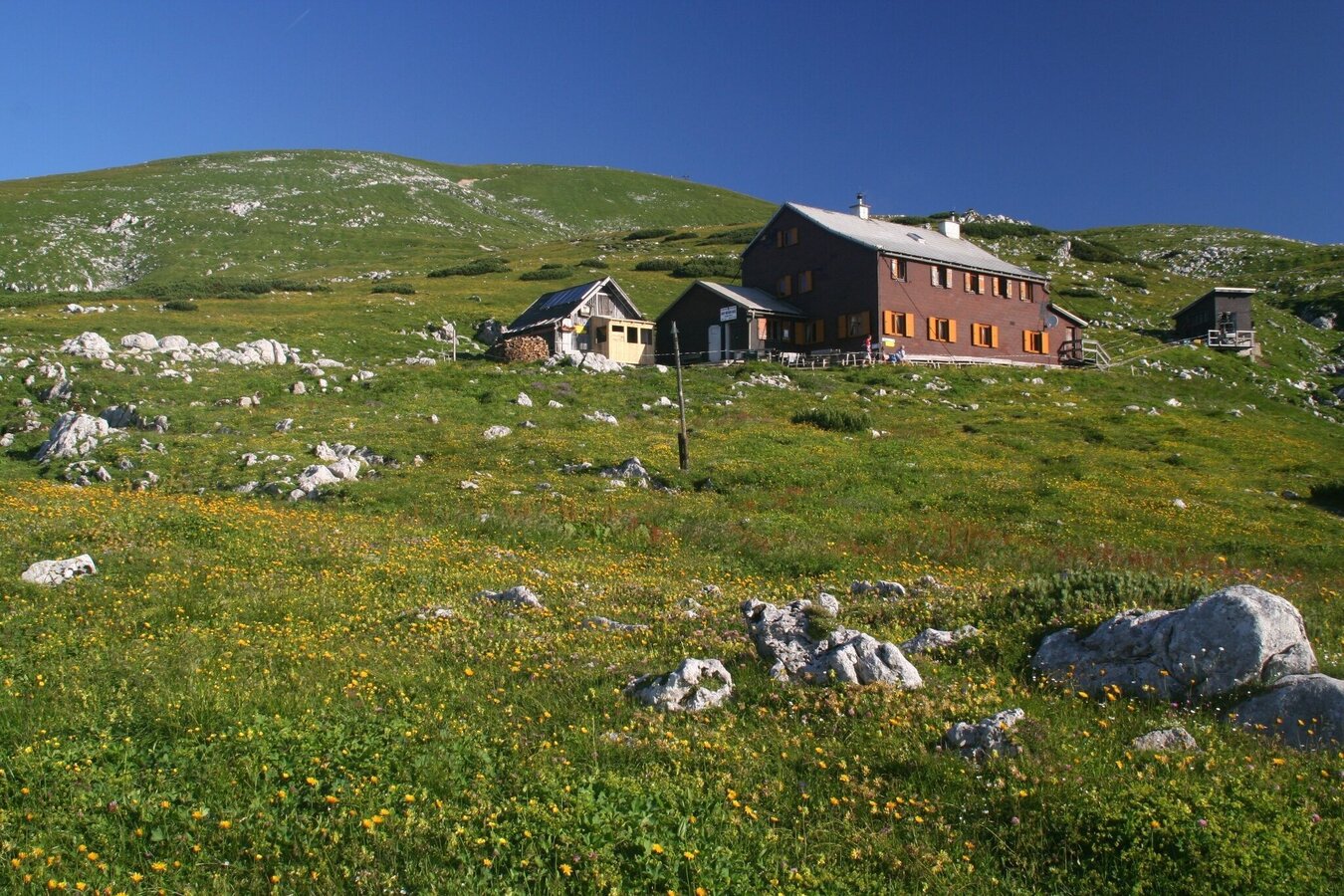
Graf Meran Haus | © TV Hochsteiermark | Herbert Podbressnik
5/13
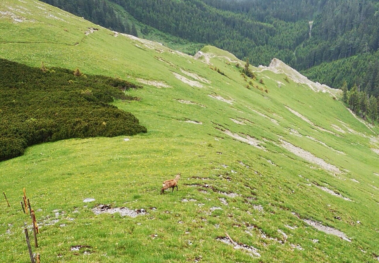
Gams auf der Goassteign | © TV Hochsteiermark | Andreas Steininger
6/13
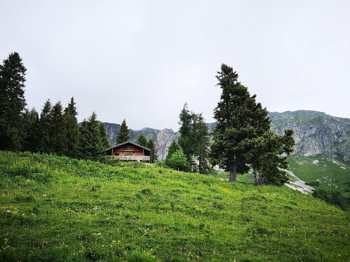
Jagdhütte, Start des Anstiegs zum Predigtstuhl | © TV Hochsteiermark | Andreas Steininger
7/13
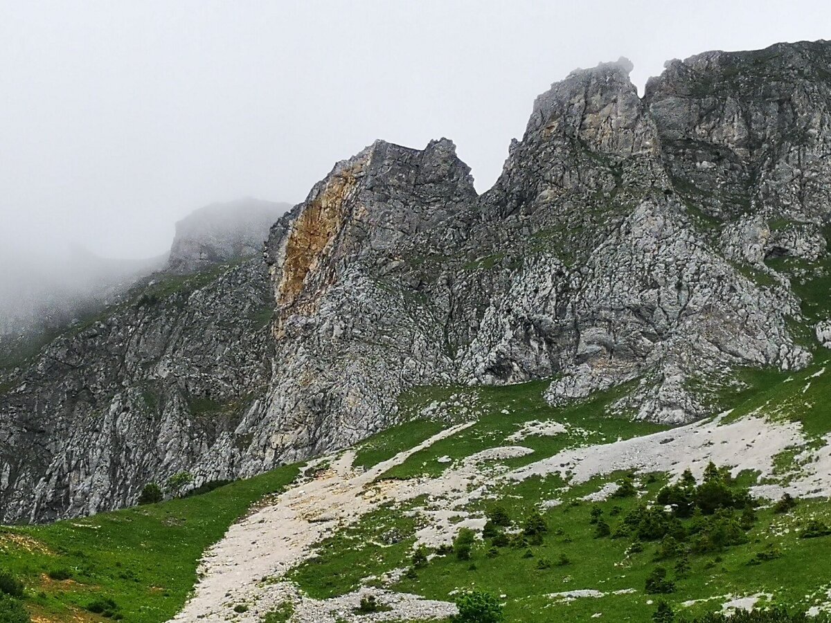
Predigtstuhl, der Anstieg verläuft rechts des Wandausbruchs | © TV Hochsteiermark | Andreas Steininger
8/13
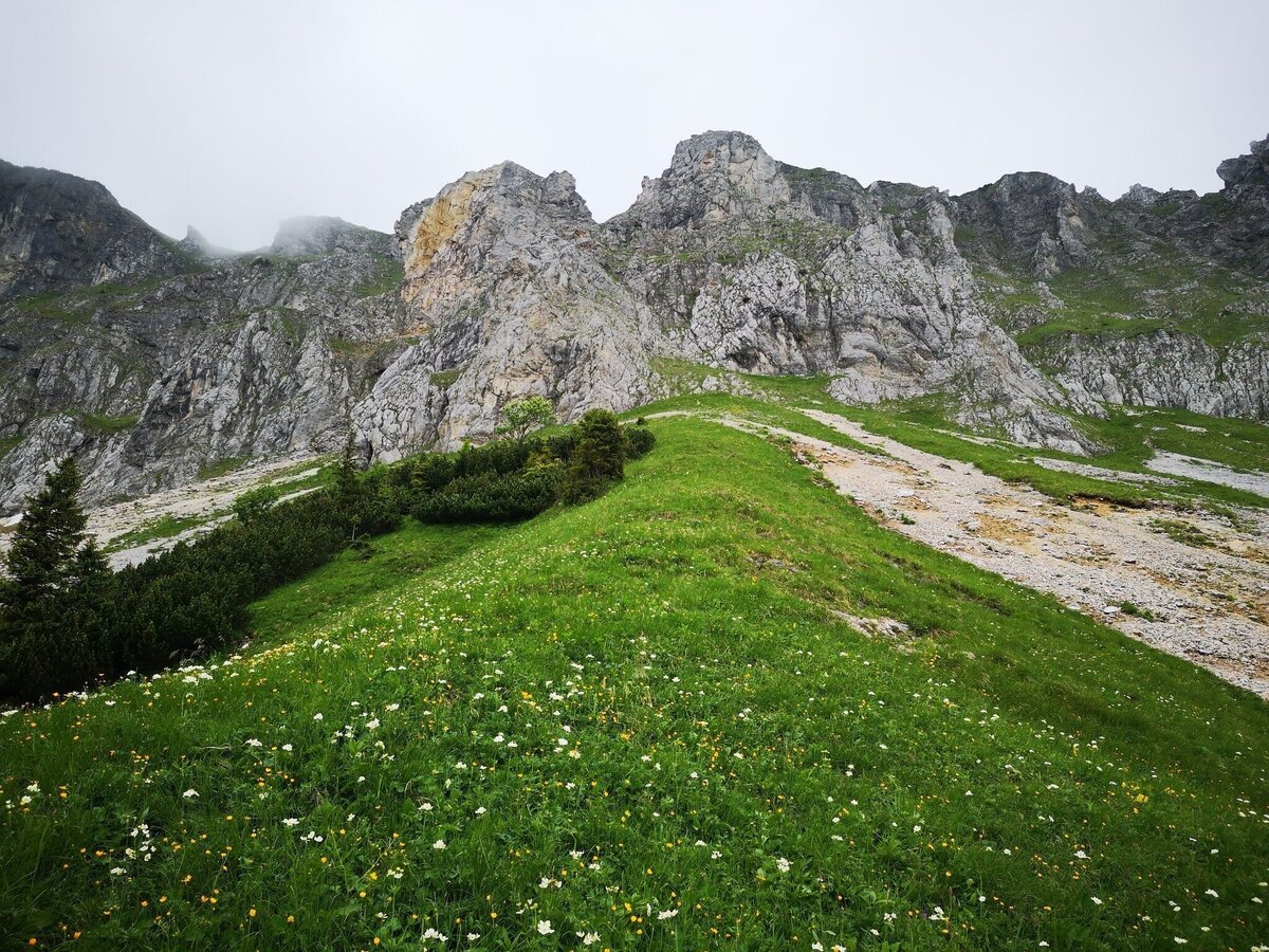
Predigtstuhl Südflanke | © TV Hochsteiermark | Andreas Steininger
9/13
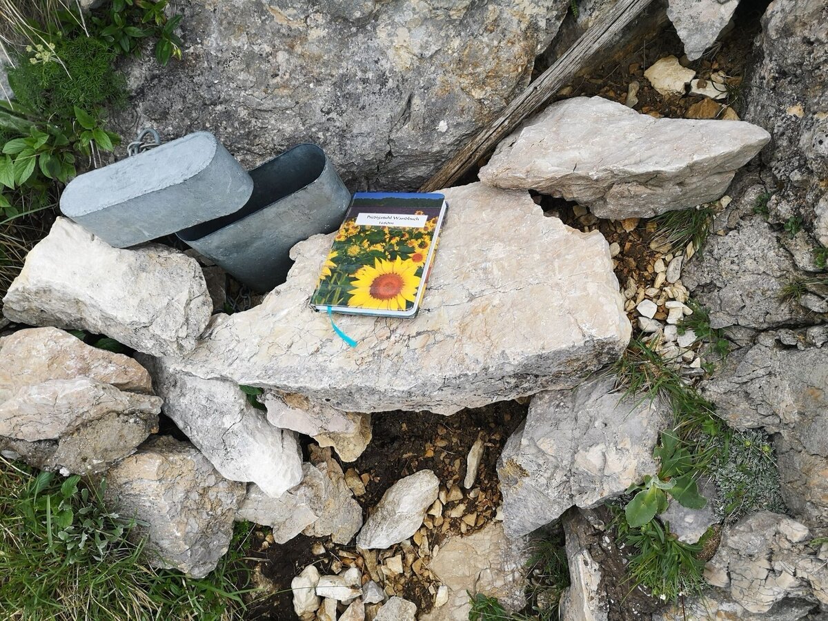
Wandbuch am Predigtstuhl | © TV Hochsteiermark | Andreas Steininger
10/13
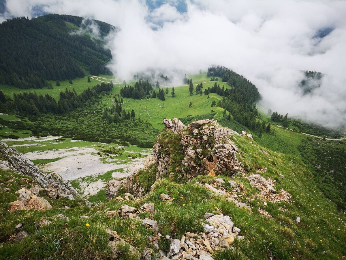
Tiefblick von der Hochfläche zur Brunnalm | © TV Hochsteiermark | Andreas Steininger
11/13
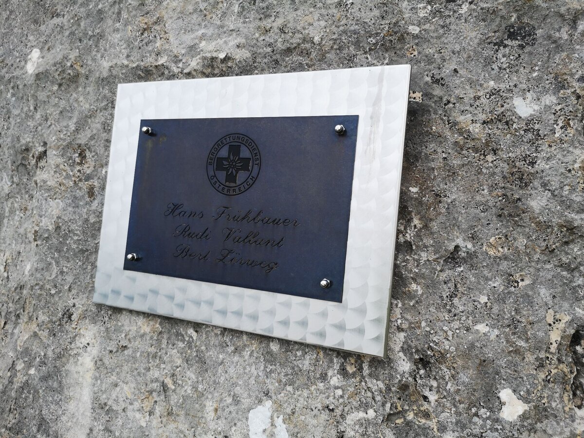
Gedenktafel am Ausstieg der Predigtstuhl Südflanke | © TV Hochsteiermark | Andreas Steininger
12/13
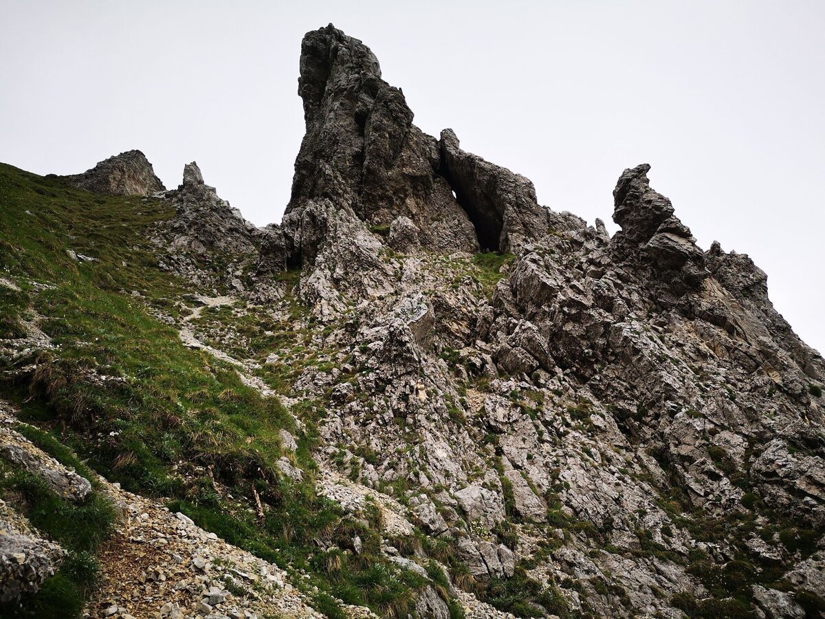
Ausstieg am Predigtstuhl | © TV Hochsteiermark | Andreas Steininger
13/13

What the weather will be like Neuberg an der Mürz (734m)
Today, 29.09.2026
Dry and sunny throughout the day with hardly any clouds.Morning

8°C
sr.Regenwahrscheinlichkeit
0%
sr.Windstärke
5 km/h
Noon
20°C
sr.Regenwahrscheinlichkeit
0%
sr.Windstärke
10 km/h
Night
13°C
sr.Regenwahrscheinlichkeit
0%
sr.Windstärke
5 km/h
Tomorrow, 30.09.2026
Dry and sunny throughout the day with hardly any clouds.Morning
8°C
sr.Regenwahrscheinlichkeit
0%
sr.Windstärke
5 km/h
Noon
20°C
sr.Regenwahrscheinlichkeit
0%
sr.Windstärke
10 km/h
Night
13°C
sr.Regenwahrscheinlichkeit
0%
sr.Windstärke
5 km/h
Forecast
01.10.2026
8°C
21°C
02.10.2026

7°C
21°C
03.10.2026
6°C
20°C
