


Übereckrunde Johnsbach
Characteristics
FitnessThe tour in numbers
Level of difficulty
medium
Route
6,2 km
Time
3:00 h
Uphill
368 hm
Downhill
368 hm
Highest point
1339 m
The starting point for a leisurely snowshoe hike to an alpine pasture is located at the end of the Johnsbachtal valley. Right at the start of this easy family hike, there are impressive photo opportunities along the breathtaking gorge in the Teufelsklamm, which also serves as a toboggan run in winter from the Ebneralm. And from numerous points along the way, you can enjoy wonderful views of the Johnsbachtal valley.
The tour is signposted as "Johnsbacher Almenrunde" and has winter markings (do not leave for game protection reasons!).
Snowshoe tour from the Ebneralm car park (approx. 2 km from the end of Johnsbach) through the gorge to the mountain pastures north of the Johnsbachtal valley, approx. 400 metres altitude difference, approx. 3 hours walking time. Stop for refreshments on the way at the Ebneralm (only on weekends) and at the end of the tour in Johnsbach a visit to the Kölblwirt.
Best season
January
February
March
April
May
June
July
August
September
October
November
December
More information
A9 Phyrnautobahn to exit Ardning/Admont and from there past Frauenberg, approx. 10 km to Admont. Via the B146 (Gesäuse Bundesstraße) from the west into the Gesäuse.
Go through Johnsbach past the famous Kölbwirt inn until you reach the Ebnerklamm car park (with information boards) on the left.
Or via Leoben, Vordernberg and Eisenerz to Hieflau and from there via B146 in a westerly direction into the Gesäuse.
A1 Westautobahn to exit Ybbs and from there south through Scheibbs, Lunz am See, Göstling an der Ybbs and Palfau to Hieflau. From there take the B146 in a westerly direction to the Gesäuse.
In the National Park there is only one intersection worth mentioning, namely the one into the Johnsbachtal (coming from Admont after approx. 11 km and coming from Hieflau after approx. 15 km). Follow this road (L743) about 10 km into the valley. Go through Johnsbach past the famous Kölbwirt inn until you reach the Ebnerklamm car park (with information boards) on the left.
Go through Johnsbach past the famous Kölbwirt inn until you reach the Ebnerklamm car park (with information boards) on the left.
From the Ebner Klamm car park, head into the valley. Pass the Gscheidegger farmstead and follow the forest road until you reach the "Zeiringer Alm" turn-off. (Signpost) There turn left over the bridge, up the free slope and keep left following the signs to Übereck. From there follow the "Prügelweg" in the direction of Schröck Alm. After the small bridge, turn left and follow the forest road down the valley to a signposted junction. Turn left, through the forest and the Teufelsklamm gorge back to the starting point at the Ebner Klamm car park. You are in alpine terrain - note the general objective dangers!
Safety in alpine terrain
The usual dangers of the mountains - falling rocks, weather-related falls, the danger of falling - are exacerbated in winter above all by the danger of avalanches. This poses a challenge for beginners and professionals alike. Being able to assess the avalanche situation requires thorough preparation and years of experience. Therefore, please observe the principles of safe touring. Indispensable are in any case:
Good tour planning (route, avalanche situation report, weather report, weather stations).
Complete equipment
Stay on the route
Minimising the risk
Respect the rules of nature conservation and thus protect the sensitive nature in the Gesäuse National Park!
Be sure to observe the avalanche warning levels! Emergency call mountain rescue: 140
Sturdy mountain boots or good trekking shoes, as well as a hiking rucksack with appropriate contents (water bottle, blister plaster, hiking map, snack, etc.). You should also be well equipped for a change of weather and, of course, snowshoes and poles.Emergency equipment belongs in every backpack!
It is always advisable to dress according to the "onion system"!
www.oebb.at
www.busbahnbim.at
Tourismusverband Gesäuse
Hauptstraße 35, 8911 Admont, Österreich
Tel. +43 (0) 3613 21160-10
Email: info@gesaeuse.at
www.gesaeuse.at
Nationalpark Gesäuse GmbH
Weng 2, AT-8913 Admont, Österreich
Tel. +43(0) 3613 211 60-20
Email: info@nationalpark-gesaeuse.at
www.nationalpark-gesaeuse.at
Carto.at Wander- Rad- & Skitourenkarte Nr 801 "Nationalpark Gesäuse", 1: 35 000
Kompass Karten "Nationalpark Gesäuse" Nr. 206, M 1 : 25 000
Alpenvereinskarte - Gesäuse und Ennstaler Alpen, Blatt 16. 1 :25 000
Info Flyer Download:
https://nationalpark-gesaeuse.at/service/downloads/
Map & downloads
Gallery
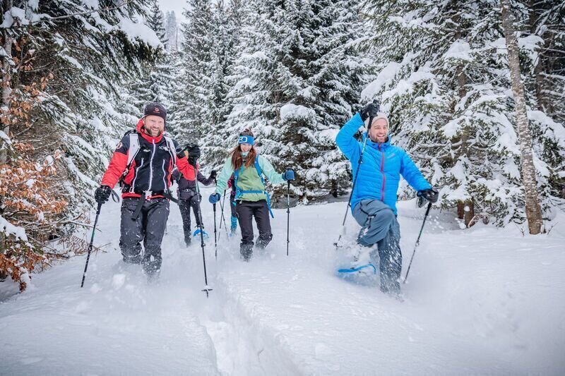
Spass und Action auf Schneeschuhen | © TV Gesäuse | Tourismusverband Gesäuse
1/15
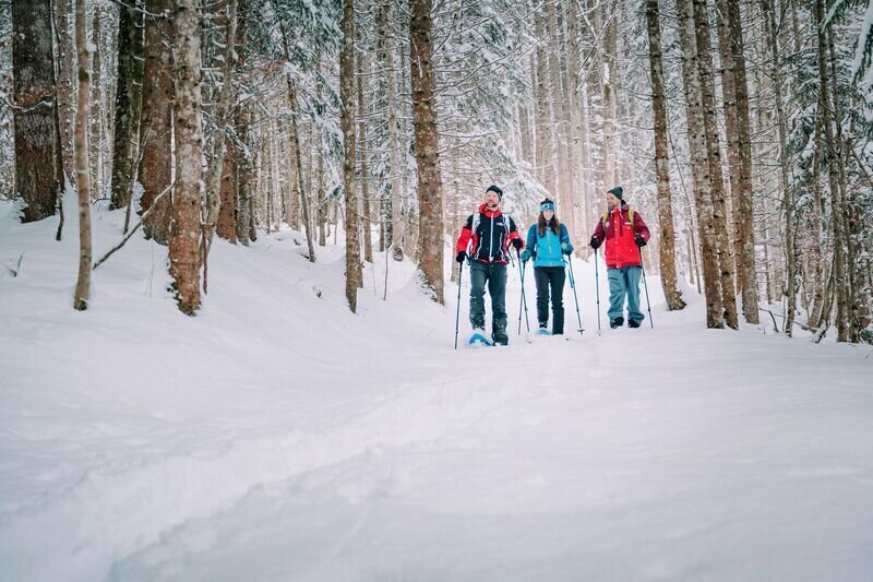
Winterliche Forstwege | © TV Gesäuse | Tourismusverband Gesäuse
2/15
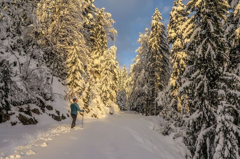
Winter Wonderland | © TV Gesäuse | Tourismusverband Gesäuse
3/15
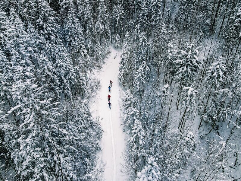
Winter wald | © TV Gesäuse | Tourismusverband Gesäuse
4/15
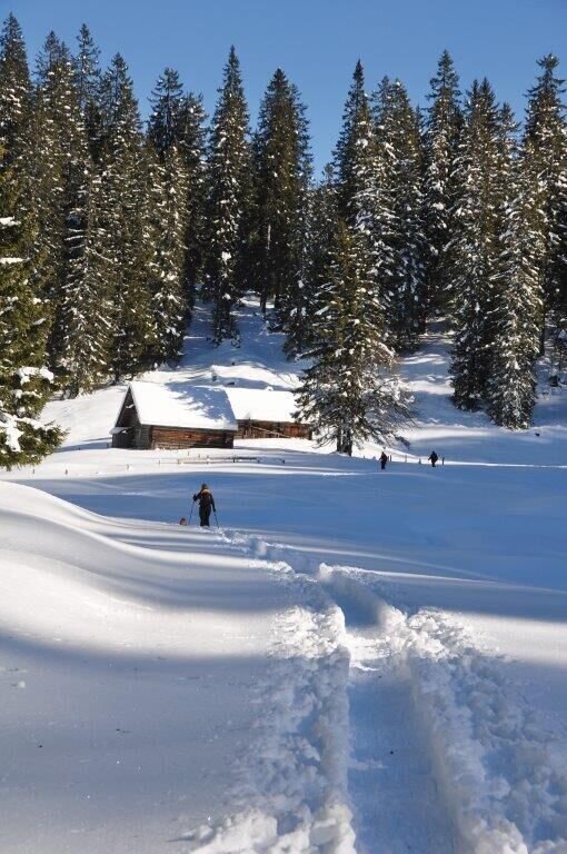
Schröckalm | © TV Gesäuse | Tourismusverband Gesäuse
5/15
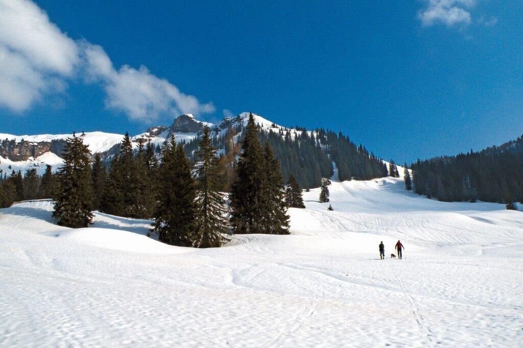
Neuburgalm | © TV Gesäuse | Tourismusverband Gesäuse
6/15
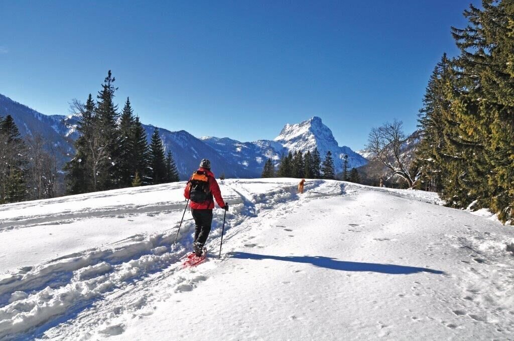
Übereck | © TV Gesäuse | Tourismusverband Gesäuse
7/15
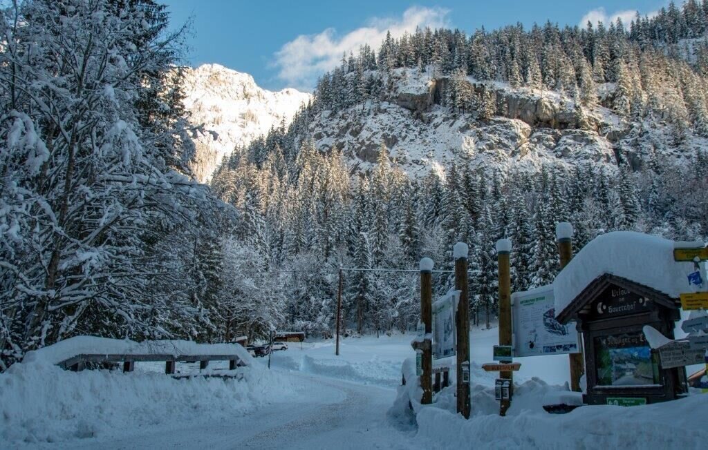
Parkplatz Ebeneralm | © TV Gesäuse | Tourismusverband Gesäuse
8/15
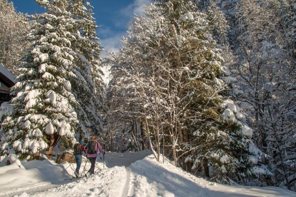
die ersten meter vor der Ebnerklamm | © TV Gesäuse | Tourismusverband Gesäuse
9/15
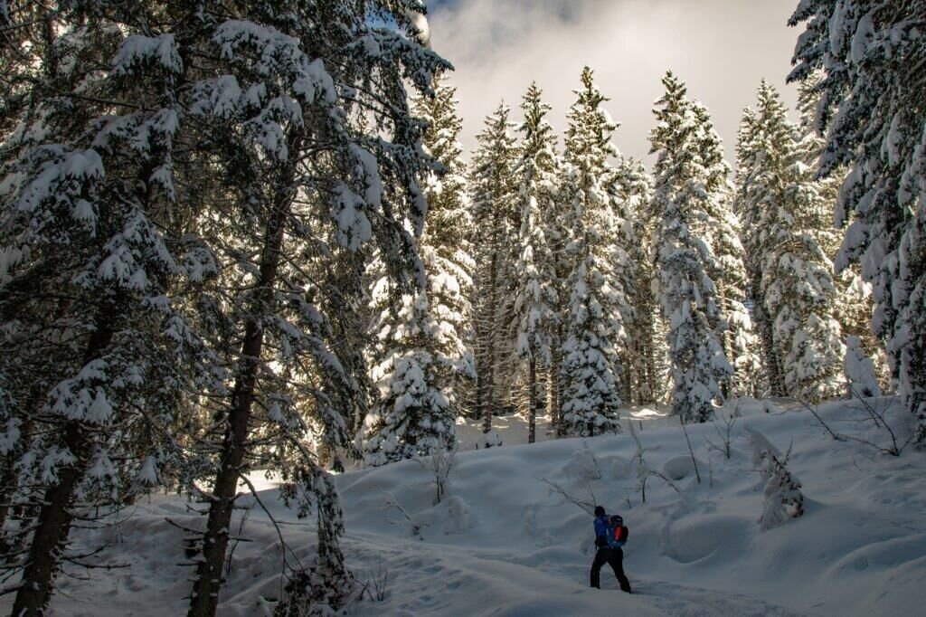
durch verschneite Wälder | © TV Gesäuse | Tourismusverband Gesäuse
10/15
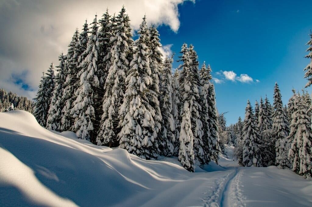
Winterzauber | © TV Gesäuse | Tourismusverband Gesäuse
11/15
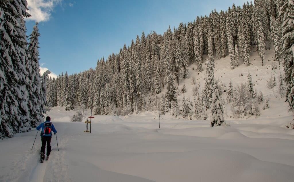
rechts abbiegen um zum Trämpelweg aufs Übereck zu kommen | © TV Gesäuse | Tourismusverband Gesäuse
12/15
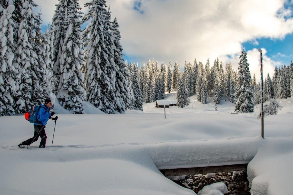
im Hintergrund die Schröckalm | © TV Gesäuse | Tourismusverband Gesäuse
13/15
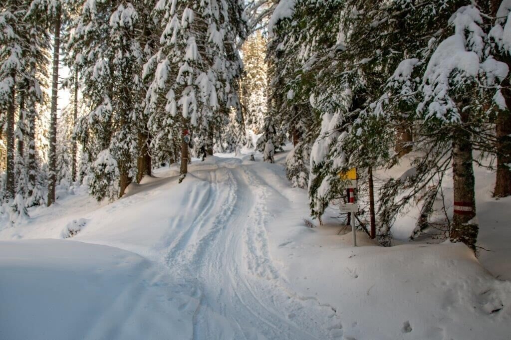
Übereck | © TV Gesäuse | Tourismusverband Gesäuse
14/15
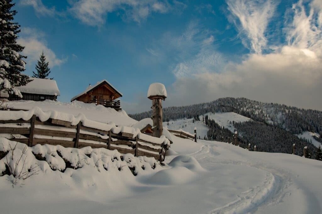
Ebneralm | © TV Gesäuse | Tourismusverband Gesäuse
15/15

What the weather will be like Admont (635m)
Today, 15.10.2026
Early clouds will clear to leave the region with a dry and sunny day.Morning

7°C
sr.Regenwahrscheinlichkeit
0%
sr.Windstärke
0 km/h
Noon

16°C
sr.Regenwahrscheinlichkeit
0%
sr.Windstärke
5 km/h
Night

9°C
sr.Regenwahrscheinlichkeit
0%
sr.Windstärke
5 km/h
Tomorrow, 16.10.2026
Some clouds in the morning, lateron much sunshine and hardly any cloudsMorning
6°C
sr.Regenwahrscheinlichkeit
0%
sr.Windstärke
0 km/h
Noon
16°C
sr.Regenwahrscheinlichkeit
0%
sr.Windstärke
0 km/h
Night
8°C
sr.Regenwahrscheinlichkeit
0%
sr.Windstärke
0 km/h
Forecast
17.10.2026
4°C
17°C
18.10.2026
7°C
17°C
19.10.2026
5°C
18°C
