


Stein am Mandl
Characteristics
SkillThe tour in numbers
Level of difficulty
medium
Route
6,7 km
Time
4:30 h
Uphill
780 hm
Downhill
780 hm
Highest point
2042 m
A mountain with fantastic panoramic views, from the Gesäuse to the Tote Gebirge and the Dachstein with the Schladmiger Tauern.
The trail follows the World Religions Pilgrimage Route, invites you to stop for a break at the Rottenmanner Hut and take in the view of the mountain lake, and rewards you at the end with a breathtaking panorama.
Best season
January
February
March
April
May
June
July
August
September
October
November
December
More information
A9 Rottenmann exit
Take the bypass to the Rottenmann exit (approx. 1 km). Follow the signs for "Rottenmanner Hütte" to the edge of the forest and continue to the car park at the valley station of the material cable car.
Please note: The last part of the journey is partly on a steep gravel road.
Now it is just under a 1 hour 50 minute climb (480 metres in altitude) along the "Pilgrimage Route of World Religions" via the Rottenmanner Hütte to Lake Globuckensee.
Rottenmanner Hütte car park / valley station of the material cable car
Take the bypass to the Rottenmann exit (approx. 1 km). Follow the signs for "Rottenmanner Hütte" to the edge of the forest and continue to the car park at the valley station of the material cable car.
Please note: The last part of the journey is partly on a steep gravel road.
Now it is just under a 1 hour 50 minute climb (480 metres in altitude) along the "Pilgrimage Route of World Religions" via the Rottenmanner Hütte to Lake Globuckensee.
Rottenmanner Hütte car park / valley station of the material cable car
From the car park, take the marked, somewhat steep footpath No. 944 via the Globuckenalm, past the Rottenmannerhütte and the end of the themed trail, past Lake Globuckensee to the Globuckensattel and up to the right to the summit (2,043 m).
Sturdy hiking boots or good trekking shoes
Hiking backpack
Water bottle
First aid kit including blister plasters
Hiking map and smartphone
Snacks
Sunglasses
Sunscreen
You should also be well prepared for changeable weather.
Packing your backpack correctly makes things much easier:
Pack heavy items first. Your water bottle should always be easily accessible in a side pocket. Everything you need frequently, such as sunglasses, your smartphone, or hiking map, should be packed on top.
Hiking backpack
Water bottle
First aid kit including blister plasters
Hiking map and smartphone
Snacks
Sunglasses
Sunscreen
You should also be well prepared for changeable weather.
Packing your backpack correctly makes things much easier:
Pack heavy items first. Your water bottle should always be easily accessible in a side pocket. Everything you need frequently, such as sunglasses, your smartphone, or hiking map, should be packed on top.
A visit to the Rottenmannerhütte is an absolute must. Very friendly and excellent cuisine!
By train: Rottenmann station
By bus: Rottenmann/Landeskrankenhaus stop (near the station)
From there, follow hiking trail no. 944 for about 1 hour and 50 minutes to reach the valley station of the material cable car.
Now it's just under 1 hour 50 minutes' climb (480 metres in altitude) along the "Pilgrimage Trail of World Religions" via the Rottenmanner Hütte to Lake Globuckensee.
By bus: Rottenmann/Landeskrankenhaus stop (near the station)
From there, follow hiking trail no. 944 for about 1 hour and 50 minutes to reach the valley station of the material cable car.
Now it's just under 1 hour 50 minutes' climb (480 metres in altitude) along the "Pilgrimage Trail of World Religions" via the Rottenmanner Hütte to Lake Globuckensee.
Gesäuse Tourism Association
Hauptstraße 35, 8911 Admont, Austria
t: +43 3613 2116010
www.gesaeuse.at
Email: info@gesaeuse.at
Hauptstraße 35, 8911 Admont, Austria
t: +43 3613 2116010
www.gesaeuse.at
Email: info@gesaeuse.at
Map & downloads
Gallery
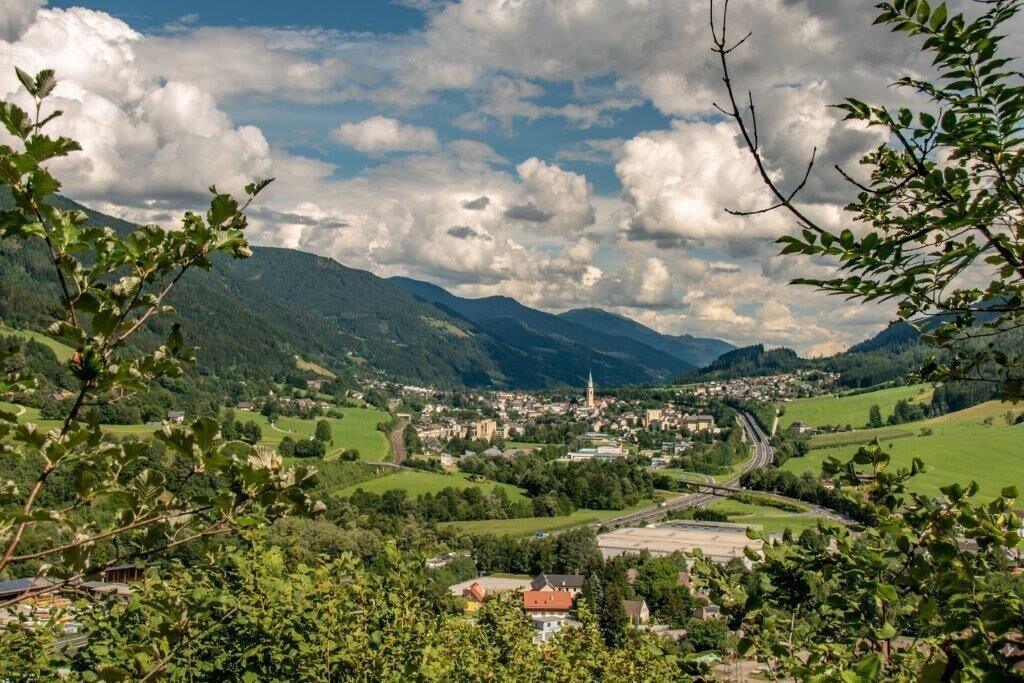
blick nach Rottenmann | © TV Gesäuse | Tourismusverband Gesäuse
1/13
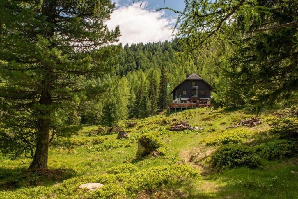
Die Rottenmanner Hütte | © TV Gesäuse | Tourismusverband Gesäuse
2/13
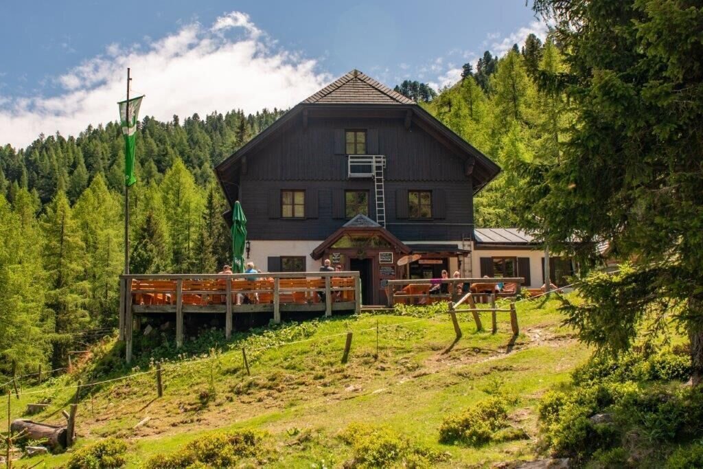
Die Rottenmanner Hütte mit riesiger Sonnenterasse | © TV Gesäuse | Tourismusverband Gesäuse
3/13
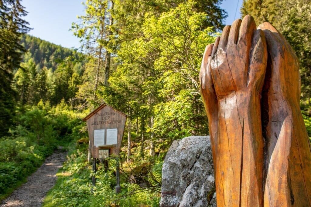
Startplatz des Pilgerweges | © TV Gesäuse | Tourismusverband Gesäuse
4/13
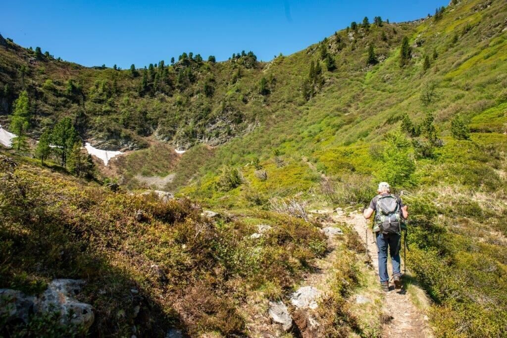
kurz vor dem See | © TV Gesäuse | Tourismusverband Gesäuse
5/13
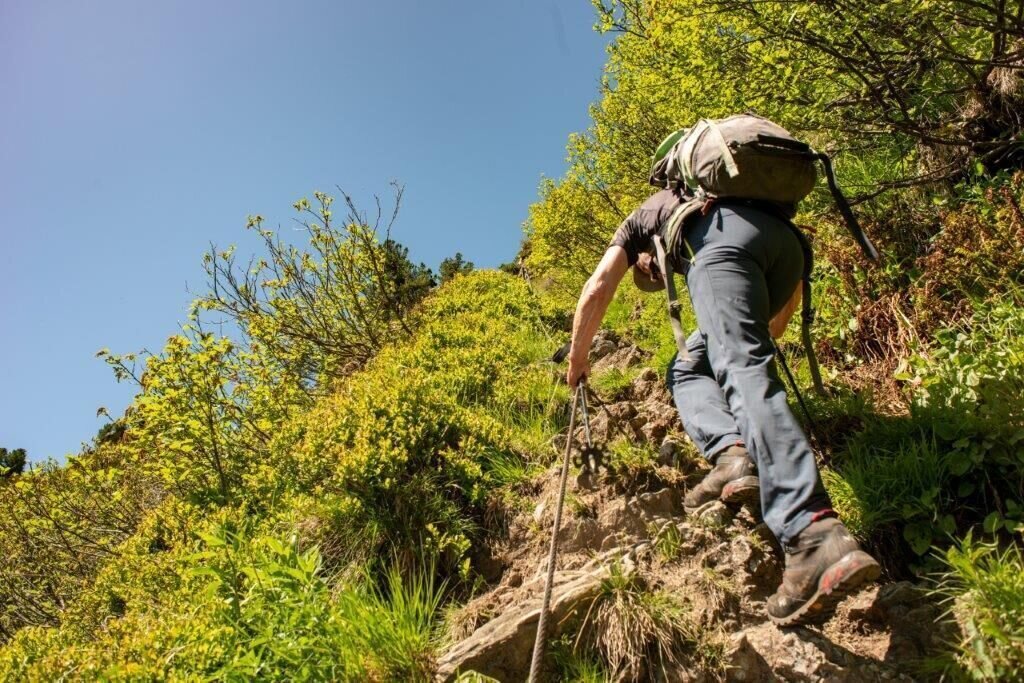
Tritsicherheit gefordert | © TV Gesäuse | Tourismusverband Gesäuse
6/13
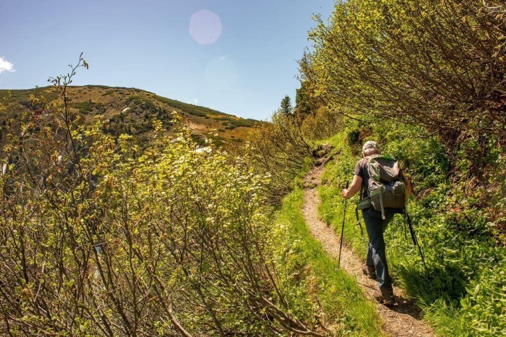
stein am mandl_img_71514474 | © TV Gesäuse | Tourismusverband Gesäuse
7/13
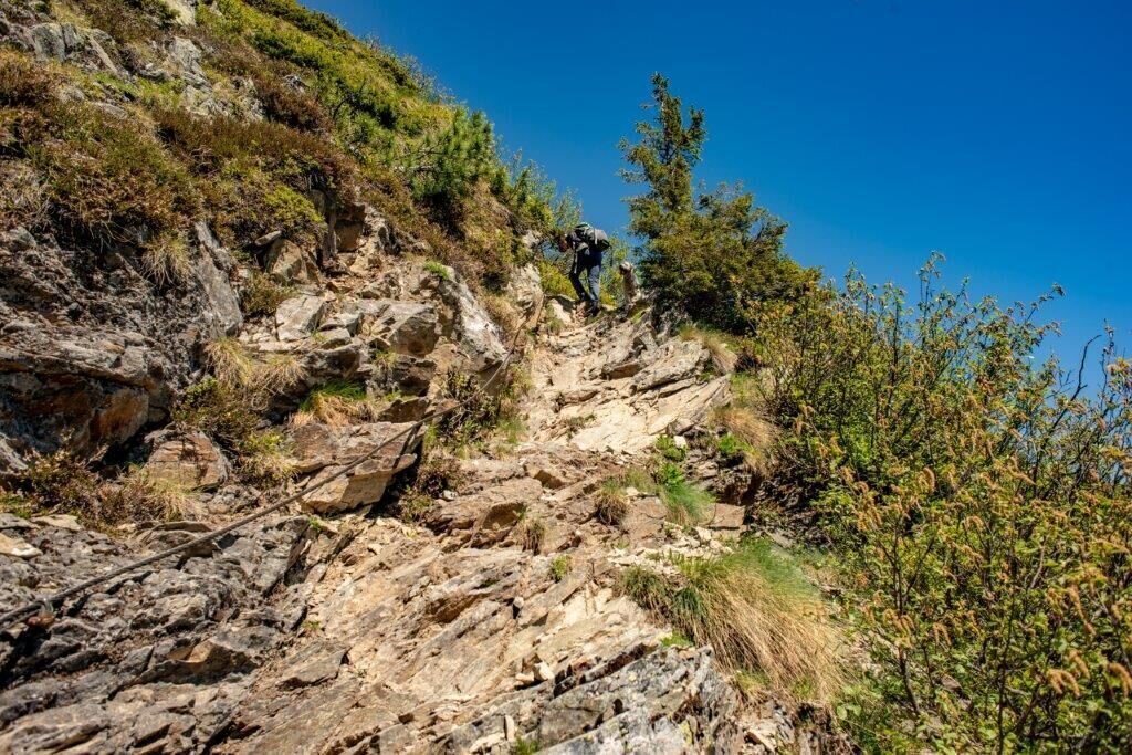
Versicherte Stellen | © TV Gesäuse | Tourismusverband Gesäuse
8/13
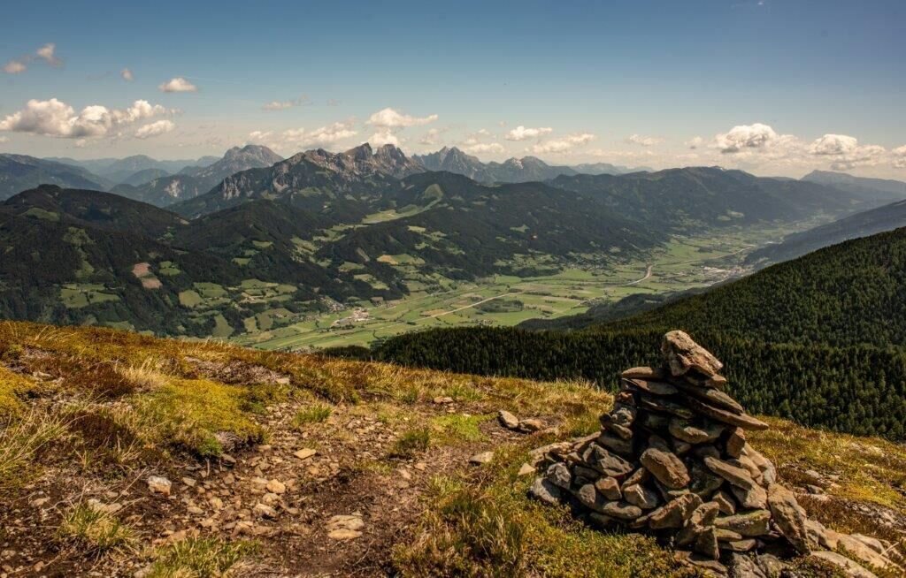
Blick ins Tal | © TV Gesäuse | Tourismusverband Gesäuse
9/13
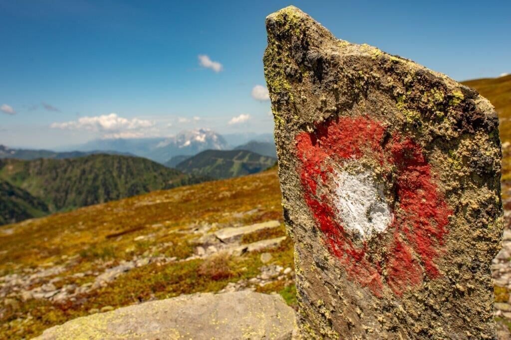
kurz vor dem Gipfel | © TV Gesäuse | Tourismusverband Gesäuse
10/13
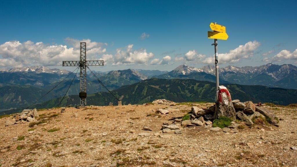
Stein am Mandl Gipfel | © TV Gesäuse | Tourismusverband Gesäuse
11/13
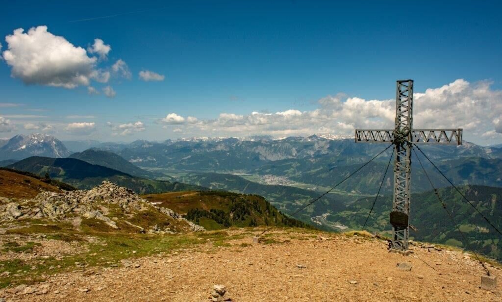
Stein am Mandl Gipfel | © TV Gesäuse | Tourismusverband Gesäuse
12/13
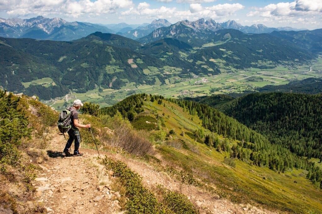
Abstieg | © TV Gesäuse | Tourismusverband Gesäuse
13/13

What the weather will be like Rottenmann (672m)
Today, 14.10.2026
The rain will end in the early afternoon, and the skies will break up afterwards.Morning

8°C
sr.Regenwahrscheinlichkeit
95%
sr.Windstärke
5 km/h
Noon
14°C
sr.Regenwahrscheinlichkeit
85%
sr.Windstärke
10 km/h
Night

10°C
sr.Regenwahrscheinlichkeit
60%
sr.Windstärke
5 km/h
Tomorrow, 15.10.2026
Early clouds will gradually clear to leave the region with a dry and sunny day.Morning

6°C
sr.Regenwahrscheinlichkeit
5%
sr.Windstärke
5 km/h
Noon
16°C
sr.Regenwahrscheinlichkeit
0%
sr.Windstärke
5 km/h
Night

10°C
sr.Regenwahrscheinlichkeit
0%
sr.Windstärke
5 km/h
Forecast
16.10.2026
4°C
17°C
17.10.2026
3°C
16°C
18.10.2026
6°C
16°C
