


Tollinghöhe Runde I 807
Characteristics
SkillThe tour in numbers
Level of difficulty
medium
Route
15,5 km
Time
1:50 h
Uphill
385 hm
Downhill
386 hm
Highest point
929 m
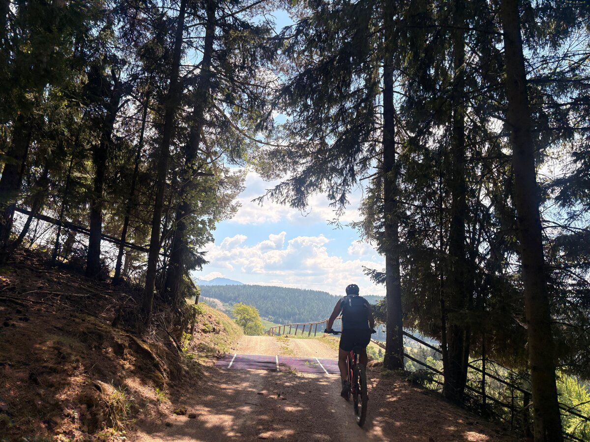
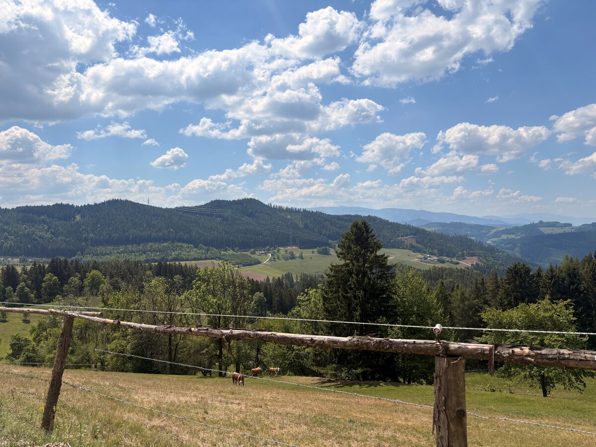
A varied MTB route through the Tollinggraben, featuring challenging climbs, plenty of gravel and beautiful views of Donawitz, Leoben and the surrounding mountain landscape.
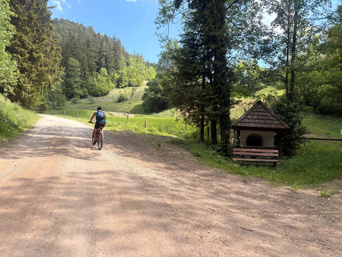
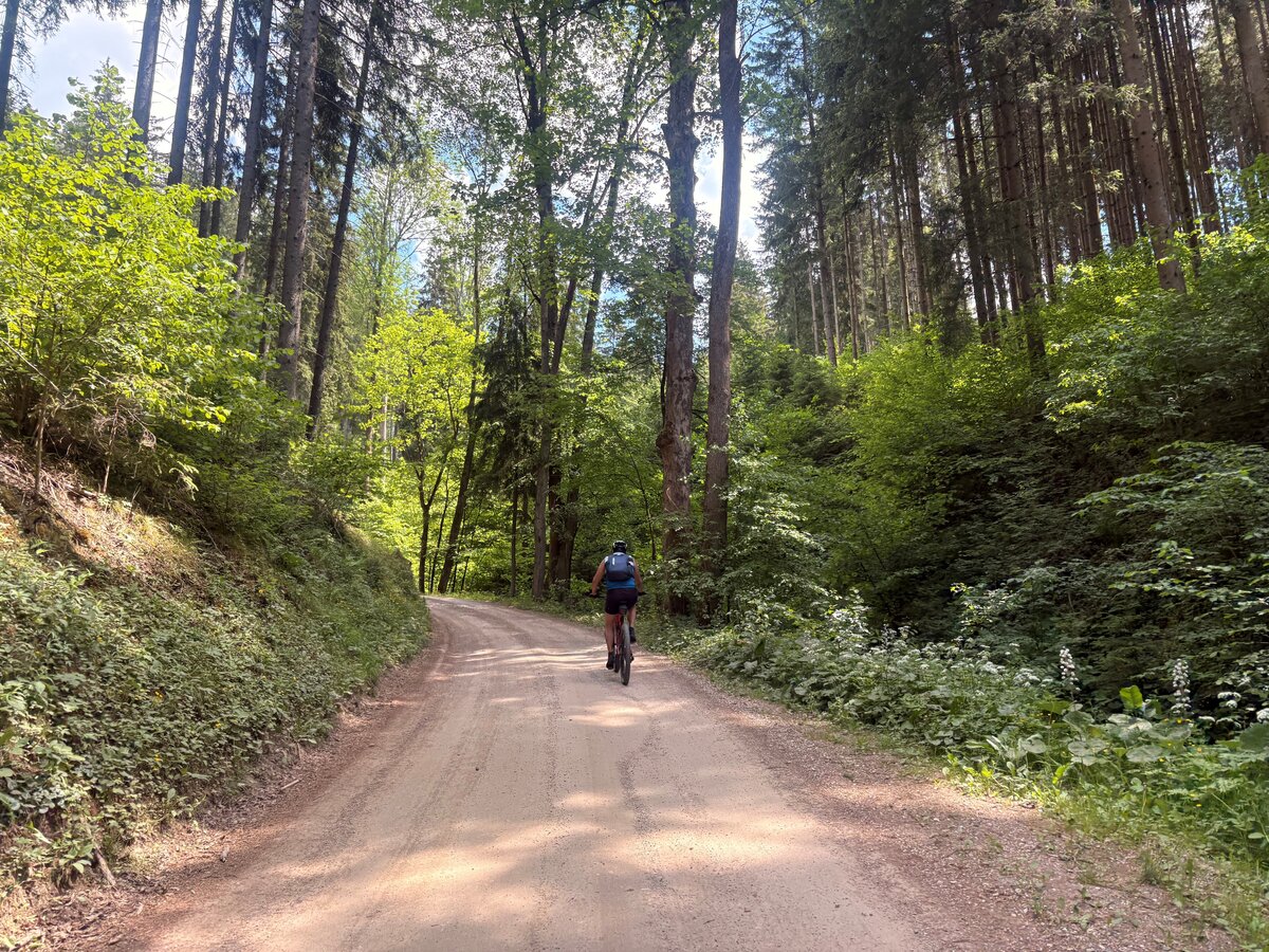
The Tollinghöhe Loop I 807 combines challenging mountain biking with natural and mining history. Over a distance of around 14.6 kilometres, the route climbs approximately 485 metres in altitude. Starting from St. Peter-Freienstein, the loop first heads towards Donawitz and then into the Tollinggraben. The route climbs steadily along mainly gravel paths. Passing the Tollinghof, the route climbs towards Tollinghöhe and onto the high plateau with its scattered farmsteads and pastures. Along the route, the Chapel of St Mary and the Chapel of St Barbara serve as reminders of the area’s mining history. After reaching the highest point of the circuit, the descent takes you through the Kleiner Tollinggraben back to St Peter-Freienstein. The combination of steep climbs, long gravel sections, tranquil countryside and cultural and historical features makes this a varied mountain bike tour.
Best season
January
February
March
April
May
June
July
August
September
October
November
December
More information
From the south – Graz:
Take the A9 Pyhrn Motorway towards Linz as far as the St. Michael junction. Continue towards Leoben and take the B115 to St. Peter-Freienstein.
From the north – Liezen:
Take the A9 Pyhrn Motorway towards Graz as far as the Traboch exit. Then take the B115 towards Trofaiach and continue to St. Peter-Freienstein.
From the east – Vienna/Bruck an der Mur:
Take the S6 Semmering Expressway towards Leoben. Continue on the B116 and B115 towards Trofaiach until you reach St. Peter-Freienstein.
From the west – Judenburg/Murtal:
Take the S36 Murtal Expressway towards St. Michael and continue towards Leoben. Then take the B115 to St. Peter-Freienstein.
More info on internship opportunities can be found here.
Take the A9 Pyhrn Motorway towards Linz as far as the St. Michael junction. Continue towards Leoben and take the B115 to St. Peter-Freienstein.
From the north – Liezen:
Take the A9 Pyhrn Motorway towards Graz as far as the Traboch exit. Then take the B115 towards Trofaiach and continue to St. Peter-Freienstein.
From the east – Vienna/Bruck an der Mur:
Take the S6 Semmering Expressway towards Leoben. Continue on the B116 and B115 towards Trofaiach until you reach St. Peter-Freienstein.
From the west – Judenburg/Murtal:
Take the S36 Murtal Expressway towards St. Michael and continue towards Leoben. Then take the B115 to St. Peter-Freienstein.
More info on internship opportunities can be found here.
The starting point is St. Peter-Freienstein.
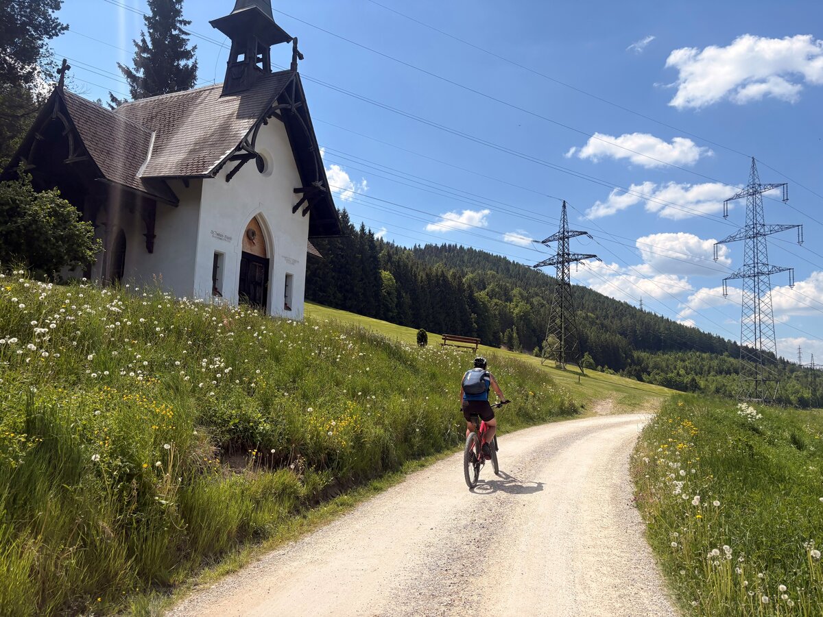
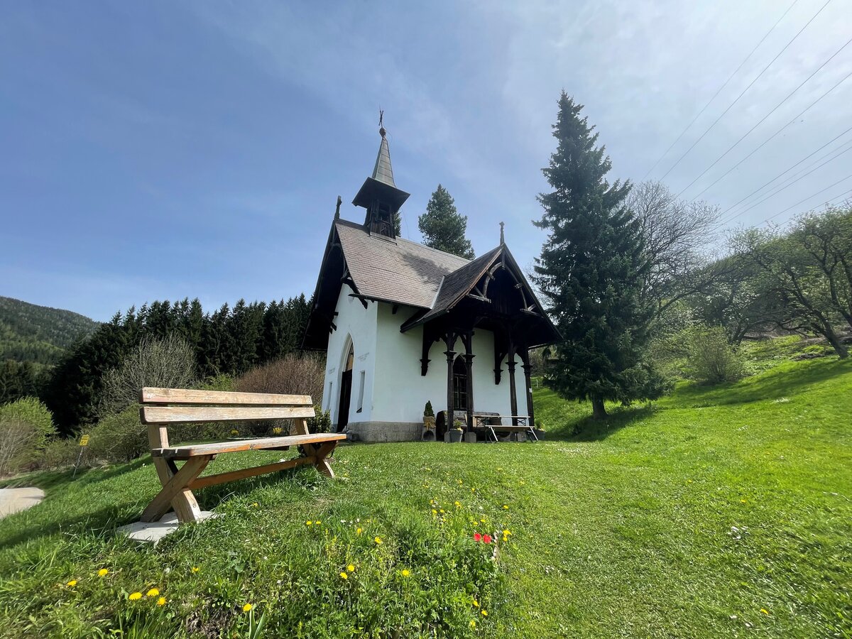
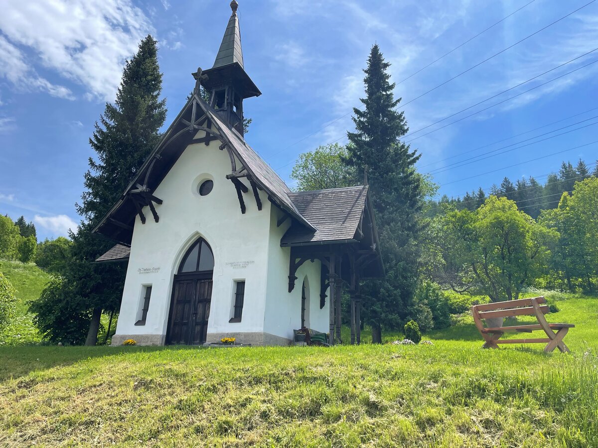
After crossing the railway line, the route initially leads through the Schörglhof housing estate towards Donawitz. In the Neuwerk area, the railway line is crossed once more. The route then heads into the Tollinggraben. It follows a gravel track, which climbs gently at first, past the Tollinghof. The route then turns right and climbs increasingly steeply. As the altitude increases, views open up towards Donawitz, Leoben and the surrounding countryside. Further along, the route passes the Marienkapelle and the Barbarakapelle. A short, particularly steep climb with gradients of up to 20 per cent finally leads up to the high plateau of the Tollinghöhe. Here, the route reaches its highest point at around 930 metres above sea level. The route then begins a long descent along good gravel tracks through the Kleiner Tollinggraben. Passing the Freienstein castle complex, the route leads back to St. Peter-Freienstein and the starting point. Up-to-date information on disruptions and closures along the route can be found online at www.eisenwadl.at/tested
A short, particularly steep climb with gradients of up to 20 per cent finally leads up to the high plateau of the Tollinghöhe. Here, the current route reaches its highest point at around 930 metres above sea level. This is followed by a longer descent along good gravel tracks through the Kleiner Tollinggraben. Passing the Freienstein castle complex, the route leads back to St. Peter-Freienstein and the starting point. Up-to-date information on disruptions and closures along the route can be found online at www.eisenwadl.at/tested Particular caution is required on the steep climb up to the Tollinghöhe, with gradients of up to 20 per cent. On the gravel descents, speed should be adjusted to the prevailing trail conditions. Caution is also required when crossing roads and railway lines in the St. Peter-Freienstein and Donawitz areas. Following heavy rainfall, gravel tracks may be washed out or slippery. A technically sound mountain bike, a helmet and repair kit are recommended.
After crossing the railway line, the route initially leads through the Schörglhof housing estate towards Donawitz. In the Neuwerk area, the railway line is crossed once more. The route then heads into the Tollinggraben. It follows a gravel track, which climbs gently at first, past the Tollinghof. The route then turns right and climbs increasingly steeply. As the altitude increases, views open up towards Donawitz, Leoben and the surrounding countryside. Further along, the route passes the Marienkapelle and the Barbarakapelle. A short, particularly steep climb with gradients of up to 20 per cent finally leads up to the high plateau of the Tollinghöhe. Here, the route reaches its highest point at around 930 metres above sea level. The route then begins a long descent along good gravel tracks through the Kleiner Tollinggraben. Passing the Freienstein castle complex, the route leads back to St. Peter-Freienstein and the starting point. Up-to-date information on disruptions and closures along the route can be found online at www.eisenwadl.at/tested
A short, particularly steep climb with gradients of up to 20 per cent finally leads up to the high plateau of the Tollinghöhe. Here, the current route reaches its highest point at around 930 metres above sea level. This is followed by a longer descent along good gravel tracks through the Kleiner Tollinggraben. Passing the Freienstein castle complex, the route leads back to St. Peter-Freienstein and the starting point. Up-to-date information on disruptions and closures along the route can be found online at www.eisenwadl.at/tested Particular caution is required on the steep climb up to the Tollinghöhe, with gradients of up to 20 per cent. On the gravel descents, speed should be adjusted to the prevailing trail conditions. Caution is also required when crossing roads and railway lines in the St. Peter-Freienstein and Donawitz areas. Following heavy rainfall, gravel tracks may be washed out or slippery. A technically sound mountain bike, a helmet and repair kit are recommended.
It’s always a good idea to carry a basic set of tools and accessories, such as a spare inner tube and/or a repair kit, a spanner, a pump, brake and gear cables, and a screwdriver.
Emergency number for cycling accidents: 144.
Provide answers to the six W questions: What has happened? How many people are injured? Where did the accident happen (GPS coordinates if available)? Who is reporting it (callback number)? When did the accident happen? What are the weather conditions at the scene of the accident?
Emergency number for cycling accidents: 144.
Provide answers to the six W questions: What has happened? How many people are injured? Where did the accident happen (GPS coordinates if available)? Who is reporting it (callback number)? When did the accident happen? What are the weather conditions at the scene of the accident?
Stopover Tip:
With the BusBahnBim app of the Verbundlinie, timetable information has never been easier: all bus, train and tram connections in Austria can be queried by entering locations and/or addresses, stops or important points. The app is available as a free app for smartphones (Android, iOS) - on Google Play and in the App Store
Tourismusverband Erzberg-Leoben
Tourist office
Homanngasse 12
8700 Leoben
Phone: +43 3842 48148
office@erzberg-leoben.at
Map & downloads
Gallery
tollinggrabenisabel_kranz_5.jpg | © TVB Erzberg-Leoben | Isabel Kranz
1/7
tollinggrabenisabel_kranz_4.jpg | © TVB Erzberg-Leoben | Isabel Kranz
2/7
tollinggrabenisabel_kranz_6.jpg | © TVB Erzberg-Leoben | Isabel Kranz
3/7
tollinggrabenisabel_kranz_7.jpg | © TVB Erzberg-Leoben | Isabel Kranz
4/7
tollinggrabenisabel_kranz_8.jpg | © TVB Erzberg-Leoben | Isabel Kranz
5/7
tollinggrabenisabel_kranz_1.jpg | © TVB Erzberg-Leoben | Isabel Kranz
6/7
tollinggrabenisabel_kranz_3.jpg | © TVB Erzberg-Leoben | Isabel Kranz
7/7

What the weather will be like St. Peter-Freienstein (604m)
Today, 03.10.2026
Dry and sunny throughout the day with hardly any clouds.Morning

5°C
sr.Regenwahrscheinlichkeit
0%
sr.Windstärke
0 km/h
Noon
20°C
sr.Regenwahrscheinlichkeit
0%
sr.Windstärke
5 km/h
Night
11°C
sr.Regenwahrscheinlichkeit
0%
sr.Windstärke
0 km/h
Tomorrow, 04.10.2026
Dry and sunny throughout the day with hardly any clouds.Morning
4°C
sr.Regenwahrscheinlichkeit
0%
sr.Windstärke
0 km/h
Noon
19°C
sr.Regenwahrscheinlichkeit
0%
sr.Windstärke
5 km/h
Night
12°C
sr.Regenwahrscheinlichkeit
0%
sr.Windstärke
0 km/h
Forecast
05.10.2026

7°C
19°C
06.10.2026

7°C
21°C
07.10.2026

8°C
21°C
