


Lowland Round I 809
Characteristics
SkillThe tour in numbers
Level of difficulty
medium
Route
16,4 km
Time
1:35 h
Uphill
435 hm
Downhill
435 hm
Highest point
920 m
A varied MTB route for active families, featuring a long, gradual climb to the Niederung and lovely views of the Trofaiach Basin, the Liesing Valley and Leoben.
The Niederung Loop 809 is a varied mountain bike route for active families and experienced cyclists. Over a distance of around 16.4 kilometres, the route climbs approximately 435 metres in altitude.
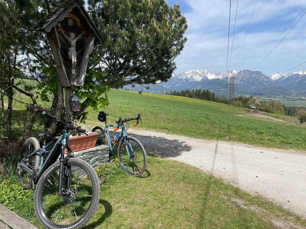
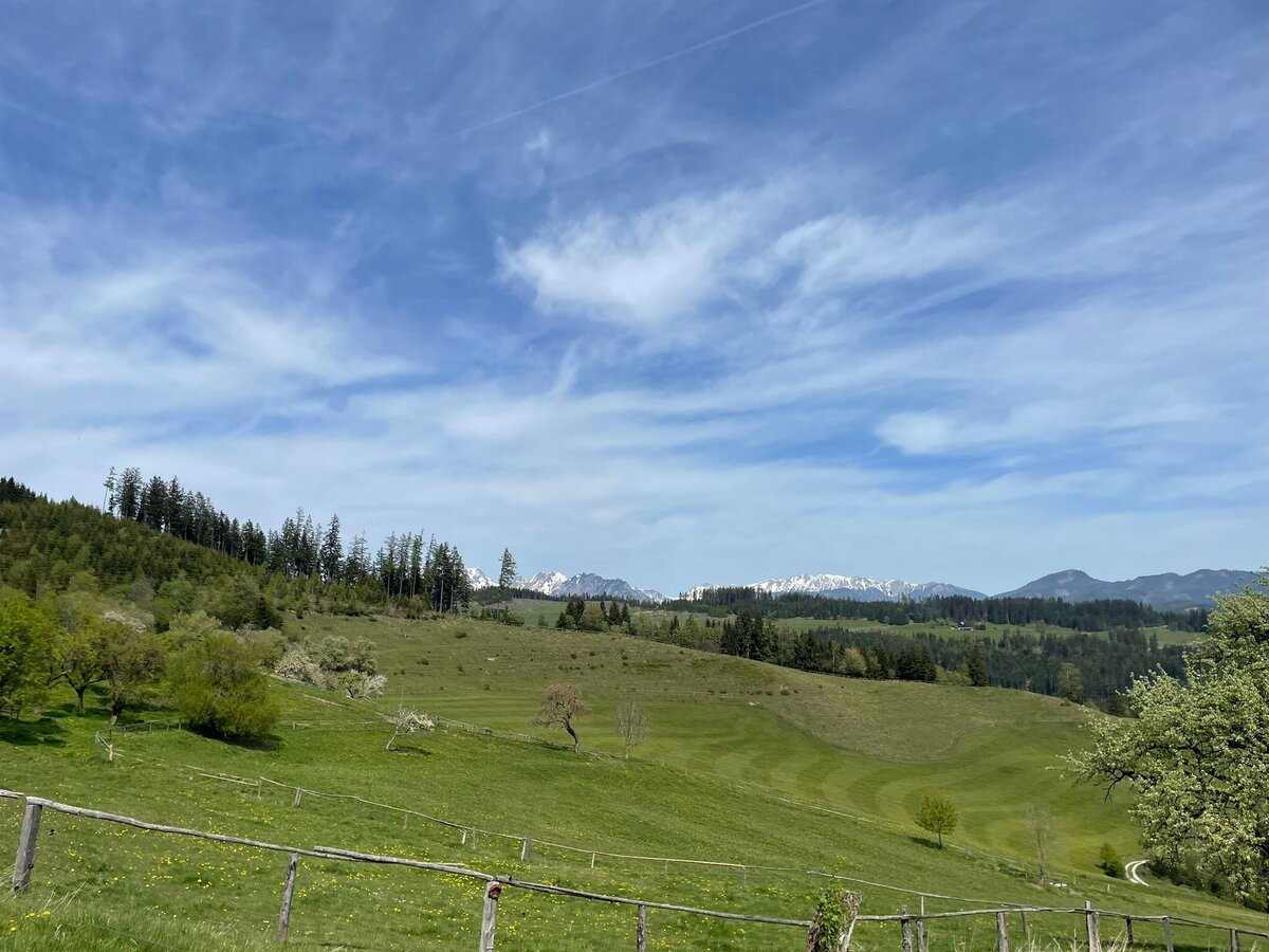
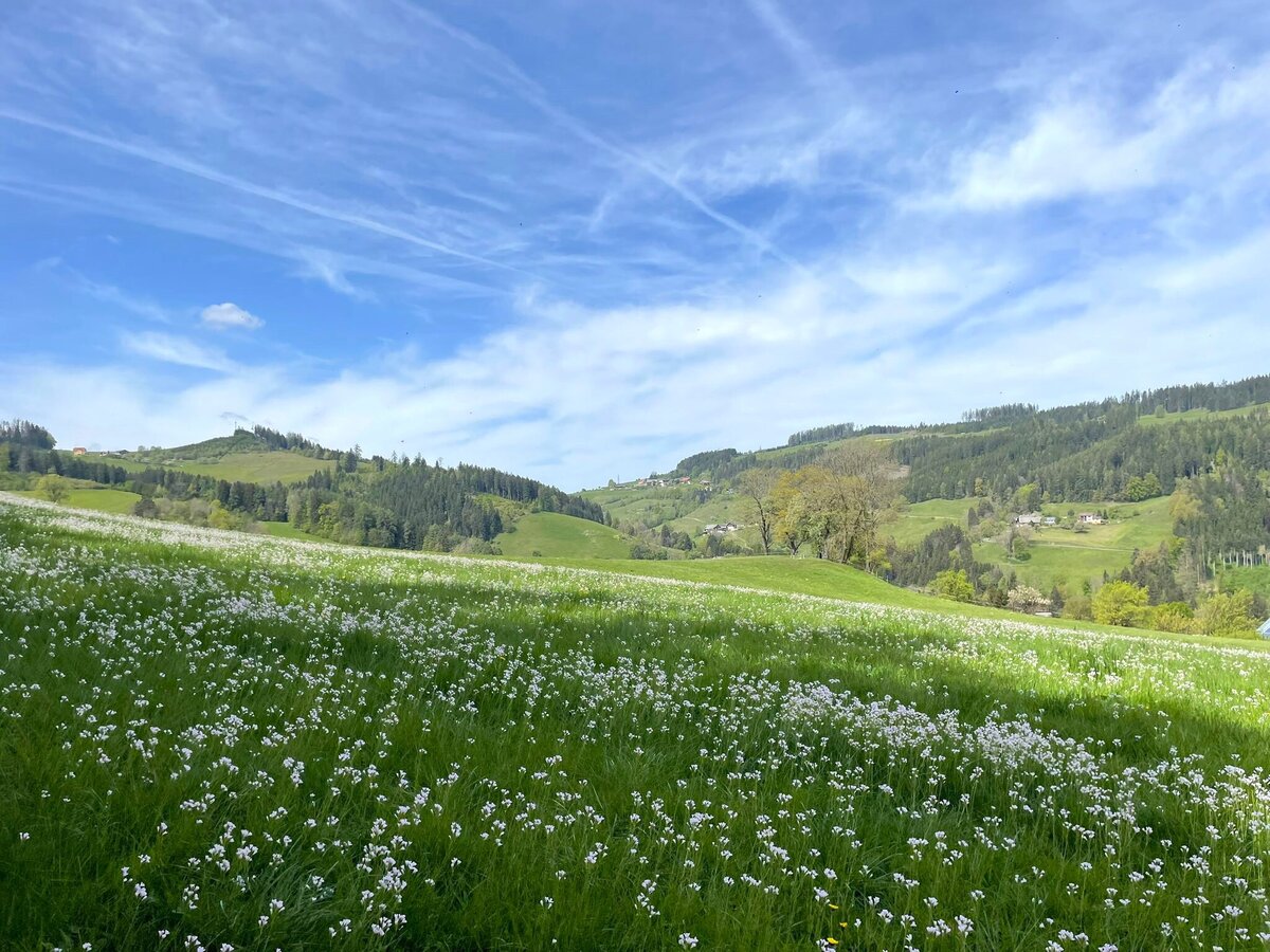
From St. Peter-Freienstein, the route leads over the Traidersberg in a long, gradual climb up to the Niederung. The route alternates between open countryside, wooded sections and rural areas. Along the way, views open up over the Reiting massif, the Trofaiach basin, the Liesing Valley and towards Leoben.
After reaching the highest point of the circuit, the route descends towards Donawitz. The contrast between the tranquil landscape of the Niederung and the impressive industrial facilities of the steelworks defines the character of this tour. The route then returns to St. Peter-Freienstein via Neuwerk and the Schörglhof estate.
From St. Peter-Freienstein, the route leads over the Traidersberg in a long, gradual climb up to the Niederung. The route alternates between open countryside, wooded sections and rural areas. Along the way, views open up over the Reiting massif, the Trofaiach basin, the Liesing Valley and towards Leoben.
After reaching the highest point of the circuit, the route descends towards Donawitz. The contrast between the tranquil landscape of the Niederung and the impressive industrial facilities of the steelworks defines the character of this tour. The route then returns to St. Peter-Freienstein via Neuwerk and the Schörglhof estate.
Best season
January
February
March
April
May
June
July
August
September
October
November
December
More information
From the south – Graz:
Take the A9 Pyhrn Motorway towards Linz as far as the St. Michael junction. Continue towards Leoben and take the B115 to St. Peter-Freienstein.
From the north – Liezen:
Take the A9 Pyhrn Motorway towards Graz as far as the Traboch exit. Continue on the B115 towards Trofaiach and on to St. Peter-Freienstein.
From the east – Vienna/Bruck an der Mur:
Take the S6 Semmering Expressway to Leoben. Then take the B115 towards Trofaiach to St. Peter-Freienstein.
From the west – Judenburg/Murtal:
Take the S36 Murtal Expressway towards St. Michael. Continue towards Leoben and then take the B115 to St. Peter-Freienstein.
Detail about parking can be found here.
Take the A9 Pyhrn Motorway towards Linz as far as the St. Michael junction. Continue towards Leoben and take the B115 to St. Peter-Freienstein.
From the north – Liezen:
Take the A9 Pyhrn Motorway towards Graz as far as the Traboch exit. Continue on the B115 towards Trofaiach and on to St. Peter-Freienstein.
From the east – Vienna/Bruck an der Mur:
Take the S6 Semmering Expressway to Leoben. Then take the B115 towards Trofaiach to St. Peter-Freienstein.
From the west – Judenburg/Murtal:
Take the S36 Murtal Expressway towards St. Michael. Continue towards Leoben and then take the B115 to St. Peter-Freienstein.
Detail about parking can be found here.
The starting point is the St. Peter-Freienstein parish office.
From here, the route passes Friedhofen Castle and then turns left, heading up the Traidersberg. This marks the start of the longer main ascent of the circuit. Initially, the route runs through open countryside with views of the Reiting massif and the Trofaiach basin.
Later, the path continues uphill through the forest towards Niederung. The final metres of ascent to the highest point take you past several farms.
After that, the longer descent towards Donawitz begins. Once in the valley, the route leads past the industrial sites via Neuwerk and the Schörglhof estate back to St. Peter-Freienstein and the starting point.
From here, the route passes Friedhofen Castle and then turns left, heading up the Traidersberg. This marks the start of the longer main ascent of the circuit. Initially, the route runs through open countryside with views of the Reiting massif and the Trofaiach basin.
Later, the path continues uphill through the forest towards Niederung. The final metres of ascent to the highest point take you past several farms.
After that, the longer descent towards Donawitz begins. Once in the valley, the route leads past the industrial sites via Neuwerk and the Schörglhof estate back to St. Peter-Freienstein and the starting point.
A basic set of tools and accessories should be carried on every mountain bike ride. We recommend a spare inner tube and/or repair kit, a spanner, a pump, brake and gear cables, and a screwdriver. A cycling helmet and clothing suitable for the weather are also part of the basic kit.
When riding downhill, adjust your speed to suit the trail conditions and visibility. Particular care is required when crossing roads and in built-up areas.
Emergency services: 144.
When making an emergency call, provide as precise details as possible based on the six W questions:
What has happened?
How many people are injured?
Where did the accident happen? If possible, provide GPS coordinates.
Who is reporting the accident? Provide a callback number.
When did the accident happen?
What are the weather conditions at the scene of the accident?
When riding downhill, adjust your speed to suit the trail conditions and visibility. Particular care is required when crossing roads and in built-up areas.
Emergency services: 144.
When making an emergency call, provide as precise details as possible based on the six W questions:
What has happened?
How many people are injured?
Where did the accident happen? If possible, provide GPS coordinates.
Who is reporting the accident? Provide a callback number.
When did the accident happen?
What are the weather conditions at the scene of the accident?
Stopover Tip:
With the BusBahnBim app of the Verbundlinie, timetable information has never been easier: all bus, train and tram connections in Austria can be queried by entering locations and/or addresses, stops or important points. The app is available as a free app for smartphones (Android, iOS) - on Google Play and in the App Store
Tourismusverband Erzberg-Leoben
Homanngasse 12
8700 Leoben
+43 3842 48148
office@erzberg-leoben.at
www.erzberg-leoben.at
Eisenwadl.TESTED offers details and info about the tour online at www.eisenwadl.at
Map & downloads
Gallery
niederung_ln9_c_isabel_kranz_16.jpg | © TVB Erzberg-Leoben | Isabel Kranz
1/6
niederung_ln9_c_isabel_kranz_12.jpg | © TVB Erzberg-Leoben | Isabel Kranz
2/6
niederung_ln9_c_isabel_kranz_27.jpg | © TVB Erzberg-Leoben | Isabel Kranz
3/6
LN 7 Tour | © Tourismusverband ERZBERG LEOBEN | Gerit Schatz-Mocharitsch
4/6
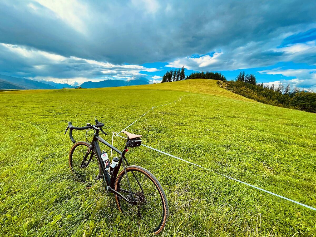
Niederung | © TV ERZBERG LAND | Gerit Schatz-Mocharitsch
5/6
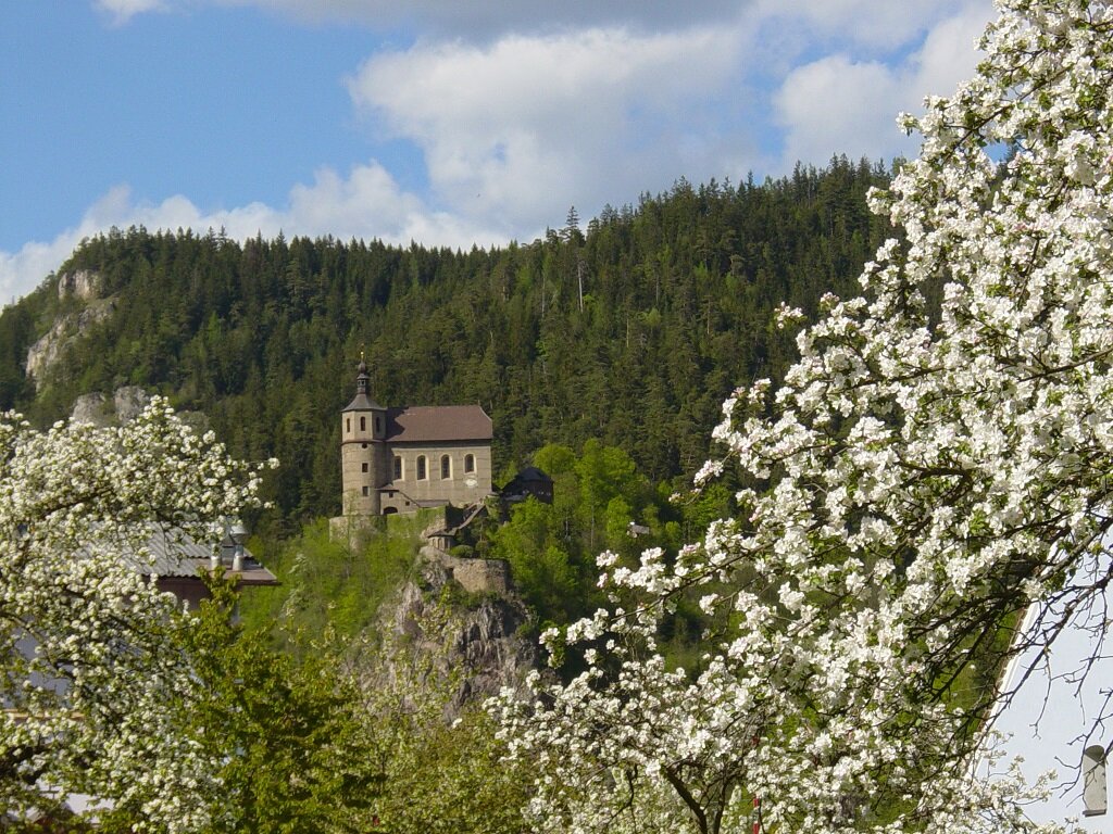
Mariä Freienstein | © Tourismusverband ERZBERG LEOBEN | Gerit Schatz-Mocharitsch
6/6

What the weather will be like St. Peter-Freienstein (604m)
Today, 07.10.2026
Dry and sunny throughout the day with hardly any clouds.Morning

7°C
sr.Regenwahrscheinlichkeit
0%
sr.Windstärke
5 km/h
Noon
20°C
sr.Regenwahrscheinlichkeit
0%
sr.Windstärke
5 km/h
Night
13°C
sr.Regenwahrscheinlichkeit
0%
sr.Windstärke
5 km/h
Tomorrow, 08.10.2026
Quite sunny with scattered clouds during the day, but a chance of thunderstorms towards evening.Morning

10°C
sr.Regenwahrscheinlichkeit
40%
sr.Windstärke
5 km/h
Noon
18°C
sr.Regenwahrscheinlichkeit
45%
sr.Windstärke
5 km/h
Night

14°C
sr.Regenwahrscheinlichkeit
65%
sr.Windstärke
5 km/h
Forecast
09.10.2026
7°C
16°C
10.10.2026
6°C
15°C
11.10.2026

7°C
15°C
