


Leobner Mauer
Characteristics
SkillThe tour in numbers
Level of difficulty
medium
Route
11,0 km
Time
5:00 h
Uphill
700 hm
Downhill
700 hm
Highest point
1866 m
The tour to Leobner Mauer is located in the region of Erzberg-Leoben and may be combined with a challenging bike tour from Leoben to Präbichl.
The tour to Leobner Mauer, 1870m, starts from the Präbichl along the north-south long-distance hiking trail via the Leobner Hütte and the Lamingsattel to the Leobner Mauer and offers wonderful views of the surrounding peaks and valleys.
Best season
January
February
March
April
May
June
July
August
September
October
November
December
More information
The hike begins with the ascent to Leobner Hütte along the Nord-Süd Weitwanderweg. Erzberg, Kaiserschild and Reichenstein are within reach. Past the Leobner Hütte, the trail continues to the Lamingsattel, towards the Hochturm. Here you continue along the narrow, somewhat rocky path to the Leobner Mauer junction. From here it is only half an hour to the summit, where an interesting summit cross awaits the experienced hiker. A wonderful place to linger with a great view.
The descent leads via the Obere Handlalm back to the starting point.
Planning your desired tour properly in advance is a must.
Emergency call rescue: 144
Emergency reporting tip - give answers to six important questions:
What happened?
How many injured?
Where did the accident happen (possibly GPS coordinates)? Who reported the accident (call-back number)?
When did the accident happen?
Weather at the accident site?
Proper backpacking makes many things easier: Pack heavy things first. The water bottle should always be within easy reach in a side pocket. All things that are often needed, such as sunglasses, camera or hiking map, belong on top. An emergency kit including blister plasters belongs in every rucksack and it is always advisable to put on different layers of clothing.
Take a break at Gasthof Präbichler Hof or Leobner Hütte.
With the BusBahnBim app of the Verbundlinie, timetable information has never been easier: all bus, train and tram connections in Austria can be queried by entering locations and/or addresses, stops or important points. The app is available as a free app for smartphones (Android, iOS) - on Google Play and in the App Store.
Tourismusverband Erzberg-Leoben
Homanngasse 12
Homanngasse 12
8700 Leoben
Phone: +43 3842 48148
office@erzberg-leoben.at
Map & downloads
Gallery
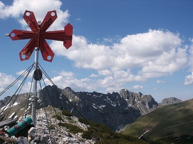
Leobner Mauer | © Marktgemeinde Vordernberg
1/13
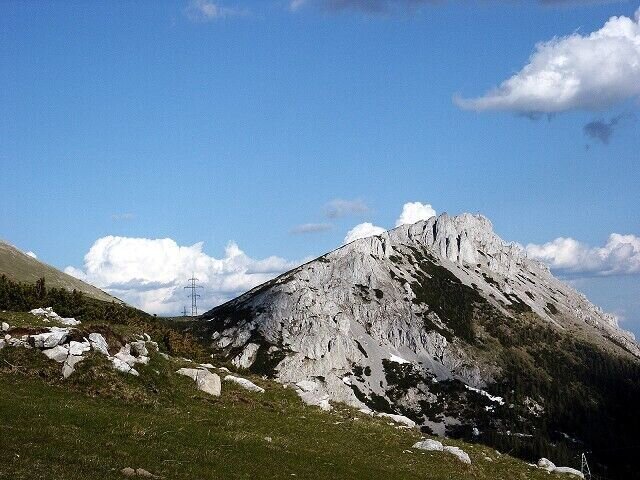
Leobner Mauer | © Marktgemeinde Vordernberg
2/13
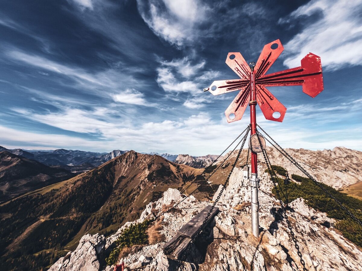
Leobner Mauer | © Tourismusverband ERZBERG LEOBEN | David Busse
3/13
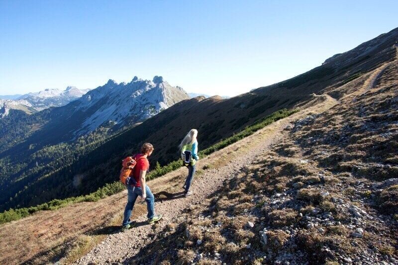
Wanderung am Präbichl | © Tourismusverband ERZBERG LEOBEN | Katharina Wassler
4/13
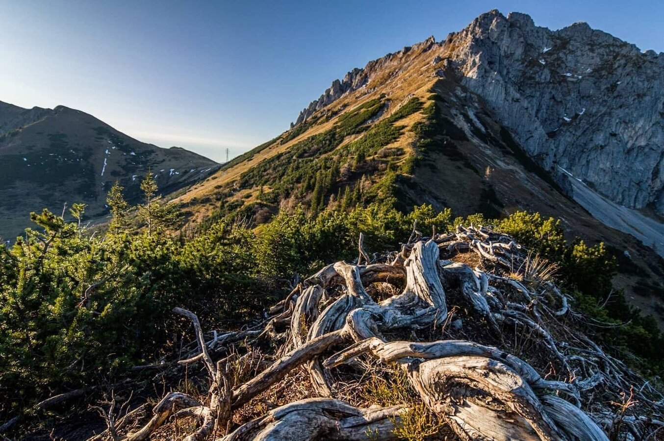
Leobner Mauer | © Tourismusverband ERZBERG LEOBEN | cstadlhofer IG
5/13
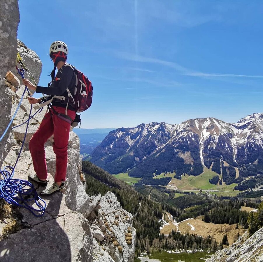
Leobner Mauer | © Tourismusverband ERZBERG LEOBEN | _kat.gruber_ IG
6/13
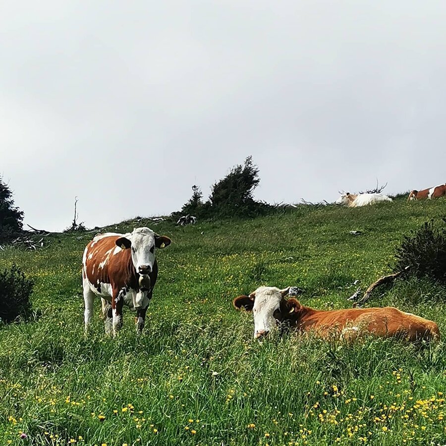
Leobner Mauer, Kühe | © Tourismusverband ERZBERG LEOBEN | anachromataf IG
7/13
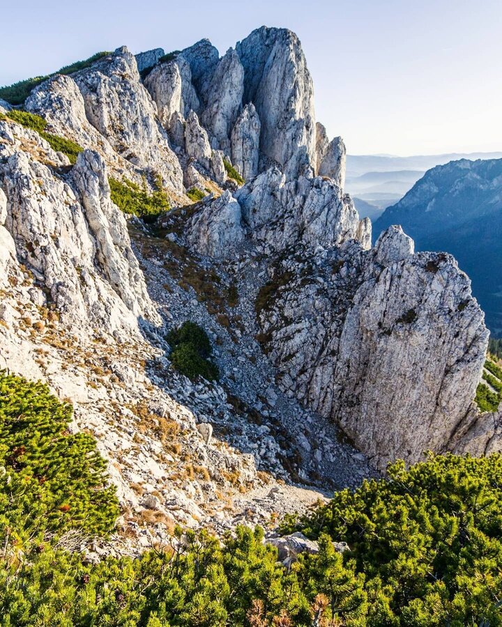
Leobner Mauer | © Tourismusverband ERZBERG LEOBEN | cstadlhofer IG
8/13
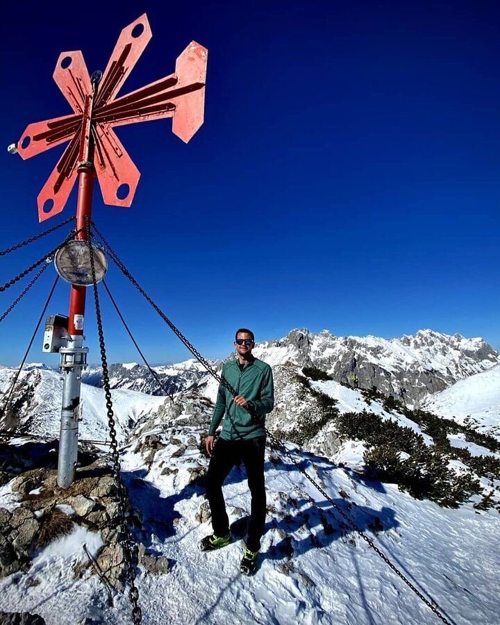
Leobner Mauer | © Tourismusverband ERZBERG LEOBEN | mountainphotos_by_bieri IG
9/13
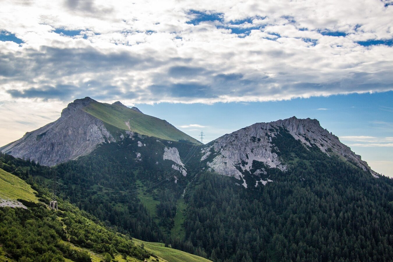
Hochturm und Leobener Mauer | © Tourismusverband ERZBERG LEOBEN | W. Kure
10/13
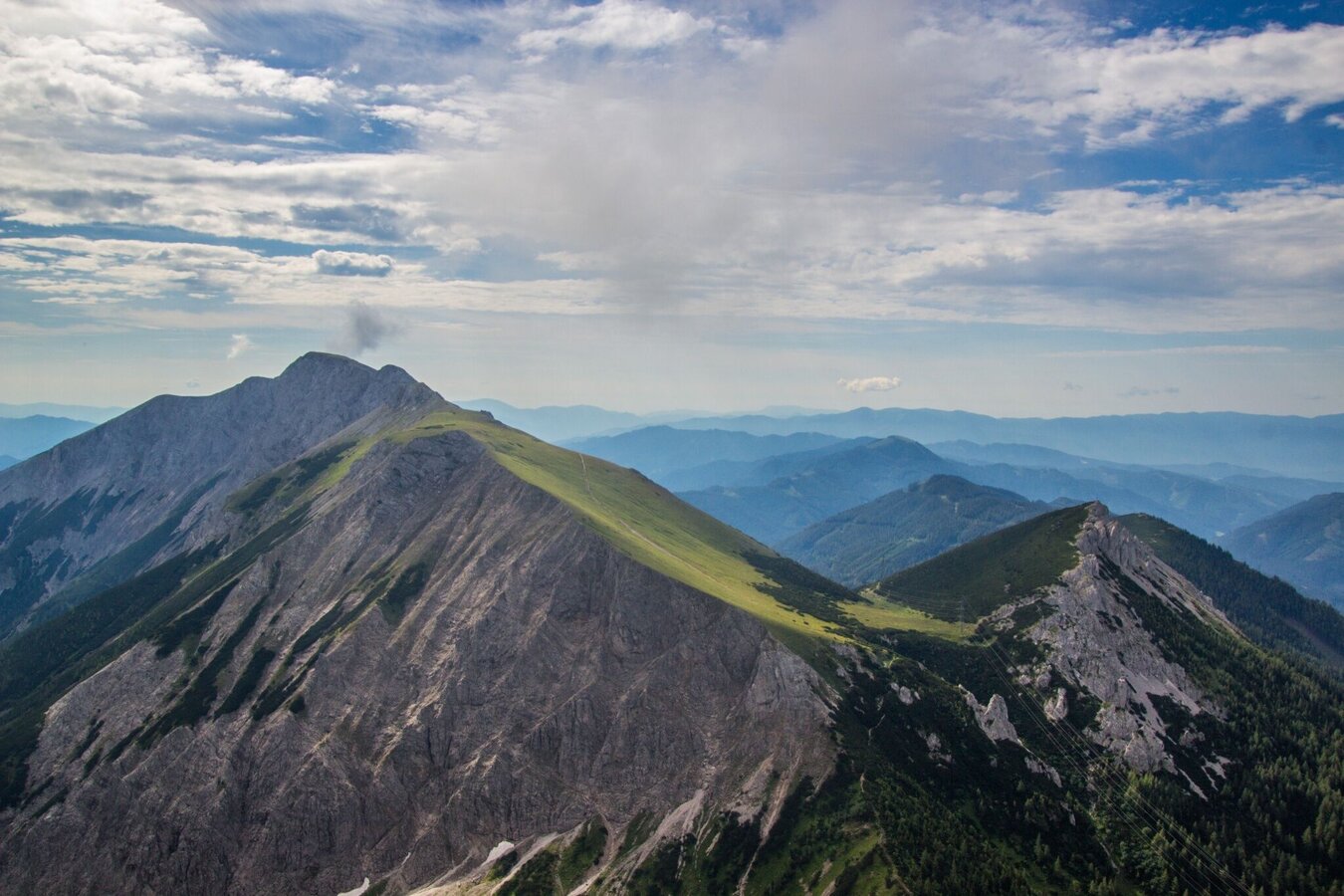
Hochturm und Leobner Mauer | © Tourismusverband ERZBERG LEOBEN | W. Kure
11/13
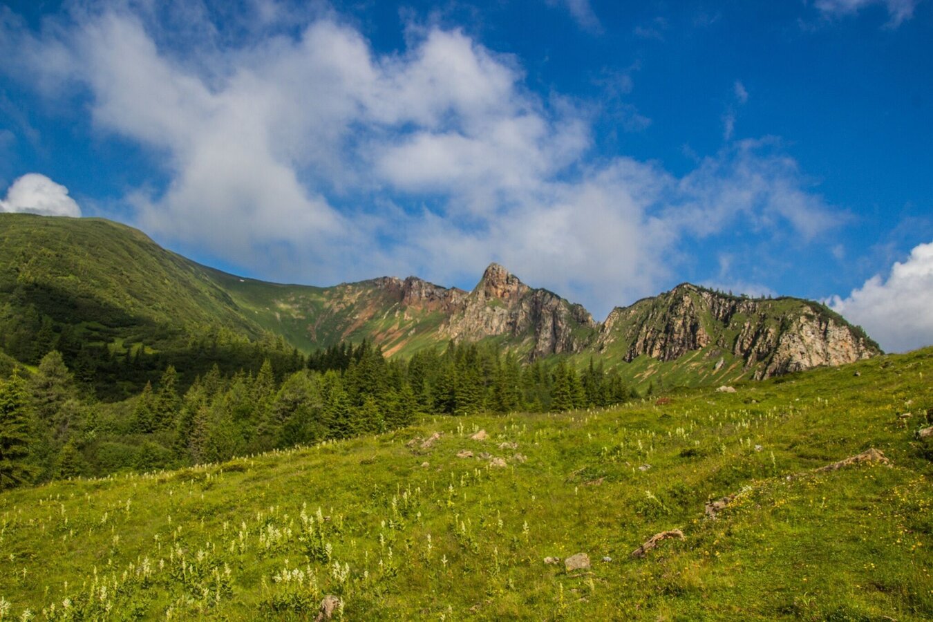
Leobner Mauer | © Tourismusverband ERZBERG LEOBEN | W. Kure
12/13
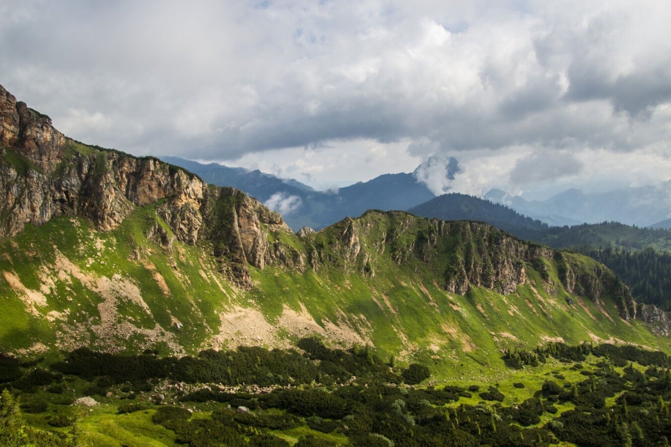
Leobner Mauer | © Tourismusverband ERZBERG LEOBEN | W. Kure
13/13

What the weather will be like Vordernberg (821m)
Today, 18.10.2026
Early clouds will gradually clear to leave the region with a dry and sunny day.Morning

6°C
sr.Regenwahrscheinlichkeit
0%
sr.Windstärke
0 km/h
Noon

15°C
sr.Regenwahrscheinlichkeit
0%
sr.Windstärke
5 km/h
Night

10°C
sr.Regenwahrscheinlichkeit
0%
sr.Windstärke
5 km/h
Tomorrow, 19.10.2026
Rather cloudy in the morning, then sunny spells will develop gradually.Morning
5°C
sr.Regenwahrscheinlichkeit
0%
sr.Windstärke
0 km/h
Noon
13°C
sr.Regenwahrscheinlichkeit
0%
sr.Windstärke
5 km/h
Night
8°C
sr.Regenwahrscheinlichkeit
5%
sr.Windstärke
5 km/h
Forecast
20.10.2026
5°C
14°C
21.10.2026

6°C
15°C
22.10.2026
4°C
10°C
