


Großer Schober
Characteristics
SkillThe tour in numbers
Level of difficulty
medium
Route
10,7 km
Time
5:00 h
Uphill
1050 hm
Downhill
1050 hm
Highest point
1895 m
This moderately difficult mountain hike in the Seckauer Tauern convinces with an evenly steep ascent to the Großer Schober - view into the Palten-Liesing valley included! The hike is located in the Erzberg-Leoben region.
Wald am Schoberpaß connects the Palten and Liesing valleys and is thus the watershed of these valleys. The Palten rises in the Paltenkar on the Speikkogel in the Eisenerzer Alps and drains into the Enns. The Liesing, on the other hand, originates in the Seckauer Tauern and flows into the Mur near St. Michael. If you are traveling by train or by car (A9 Pyhrn Autobahn), you hardly notice this watershed. On the other hand, anyone who has hiked the more than 1,000 meters in altitude from Wald am Schoberpaß to Grosser Schober and enjoyed the fantastic view of the Palten-Liesing Valley will see the pass crossing with different eyes the next time they travel by train or car. The tour on the Großer Schober can be extended very easily, provided that the weather is good and you are in good shape. A high-altitude hike over the Leckenkoppe, the Silberling to the Himmeleck (2096 m) is a real pleasure. Careful attention must be paid to the route, as there are very few markings. Conclusion: A summit of alternatives.
Best season
January
February
March
April
May
June
July
August
September
October
November
December
More information
from Graz: A9 exit Kalwang - Wald am Schoberpaß
At the train station or several parking lots directly in the village Wald am Schoberpaß
from Liezen: A9 exit Tregelwang - Wald am Schoberpaß
At the train station or several parking lots directly in the village Wald am Schoberpaß
We start at the train station in Wald am Schoberpaß (1), 841 m, and walk parallel to the tracks in the direction of the town center. After passing the railroad overpass, we keep to the right and immediately see the entrance to hiking trail 968 on the left. From now on we hike continuously uphill through the forest, crossing forest roads several times, until we reach the alpine pastures and the huts of the Schwarzbeeralm (2), 1410m. The hiking trail leads directly past the huts and in succession across the pasture areas until we recognize the climb or the entrance to the forest. The path leads partly through dense forest, which changes into sparse alder growth below the Kleiner Schober. Arrived at the saddle there are about 150 meters of altitude difference and we reach the Großer Schober (3) at 1895m. The view into the valley and to the Eisenerz Alps behind is fabulous and in the south we can see the range of peaks of the Seckauer Tauern.
For a conflict-free coexistence on alpine pastures and meadows, it is important to observe a few rules, especially when traveling with dogs. (Source: www.sichere-almen.at - 06/2021)
- Avoid contact with grazing animals, do not feed them, keep a safe distance!
- Keep calm, do not frighten grazing animals!Mother cows protect their calves. Avoid encounters between mother cows and dogs!
- Always keep dogs under control and on a short leash. If an attack by a grazing animal is foreseeable: Immediately unleash!
- Do not leave hiking trails on alpine pastures and meadows!If grazing animals block the way, avoid them as far as possible!
- When grazing animals approach: Stay calm, do not turn your back, avoid the animals!
- Leave the grazing area quickly at the first sign of restlessness of the animals!Fences must be respected! If there is a gate, use it, then close it well and cross the pasture quickly!
- Treat the people working here, nature and the animals with respect!
A few tips for correct and fair behavior in the forest: (Source: www.bundesforste.at - 6/2021)
- Hikers should avoid visits to the forest about 1.5 hours before sunrise and after sunset, as wildlife is especially active during this time.
- Plastic bottles, handkerchiefs, cigarette butts & Co have no place in the forest!
- Please make sure that you do not leave any trash in the forest.Camping and making fire - is strictly forbidden in the forest!
- In principle, each person is allowed to collect 2 kg of mushrooms and berries per day for personal use in the forest. It is only forbidden if the forest owner expressly forbids it.
Alpine emergency call: Mountain rescue emergency number: 140 EU emergency call: 112
Weather service: www.zamg.ac.at
Direct link mountain weather Styria: https://www.zamg.ac.at/cms/de/wetter/produkte-und-services/bergwetter/steiermark
- Backpack with rain cover
- Telescopic / hiking poles
- Mountain / hiking boots
- Gloves: waterproof and warming
- Headgear / sunglasses
- Outerwear: Onion layer system, T-shirt, sweater, jacket and winter jacket with hood
- Hiking pantsSeat pad
- Drinking bottle / thermos flask (on cooler days a warming drink is pleasant)
- Snack
- First aid kit with blister plaster and tick tongs
Other important equipment
- Route description
- Detailed plan of the hike
- Hiking map: For overview a map in scale 1 : 50 000 of the respective region
- GPS device
- cell phone
The Schwarzbeeralm is managed in summer and can also be hiked via a forest road if you prefer a more leisurely ascent.
With ÖBB from Graz or Liezen to station Wald am Schoberpaß.
Timetables and travel information can be found directly at: Österreichischen Bundesbahnen (ÖBB), Steiermärkischen Landesbahnen (STLB), www.busbahnbim.at
With the BusBahnBim app of the Verbundlinie, timetable information has never been easier: all bus, train and tram connections in Austria can be queried by entering locations and/or addresses, stops or important points. The app is available as a free app for smartphones (Android, iOS) - on Google Play and in the
Tourismusverband Erzberg.-Leoben
Homanngasse 12
8700 Leoben
Phone: +43 3842 48148
office@erzberg-leoben.at
Forest on the Schober Pass:
Gasthof Fink, Tel.: +43 3834 228, www.fink-gasthof.at Mon, Tue rest days.
Gasthof Leitner, Tel.: +43 3834 213, www.gh-leitner.at Wed, Thurs days off.
Michi's Dorfladen, Tel.: +43 676 6729594
Gasthof Gruber Claudia, Tel.: +43 3834/209
Refreshment stops along the way:
Schwarzbeeralm, Tel.: +43 676 6729594
freytag&berndt WK 062 Gesäuse - Ennstaler Alpen - Schoberpass, Wanderkarte 1:50.000
Regionale Freizeitkarte Erzbergland liegt im Tourismusverband und in den Gasthäusern auf
Map & downloads
Gallery
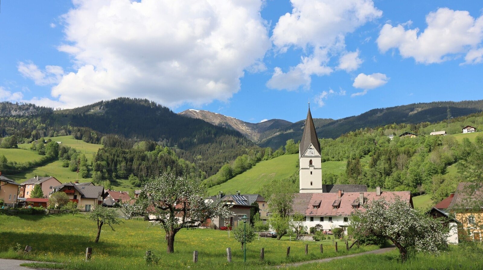
Wald am Schoberpass | © Weges OG | Weges OG
1/15
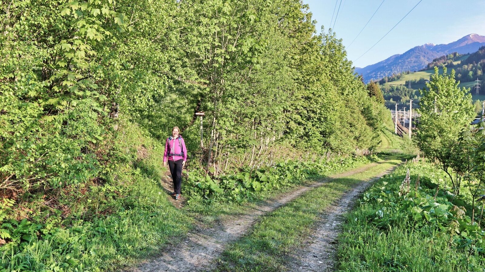
Der Aufstieg durch den Wald beginnt | © Weges OG | Weges OG
2/15
Mehrere Rastplätze am Weg | © Weges OG | Weges OG
3/15
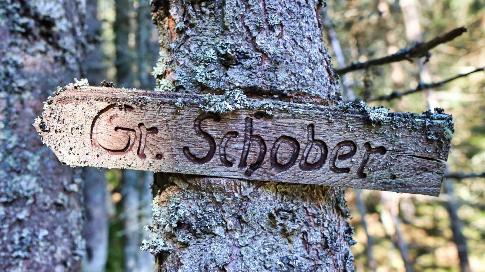
Alter Wegweiser am Baum | © Weges OG | Weges OG
4/15
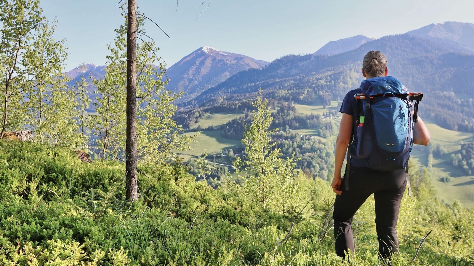
Wir genießen die Aussicht auf die gegenüberliegende Talseite | © Weges OG | Weges OG
5/15
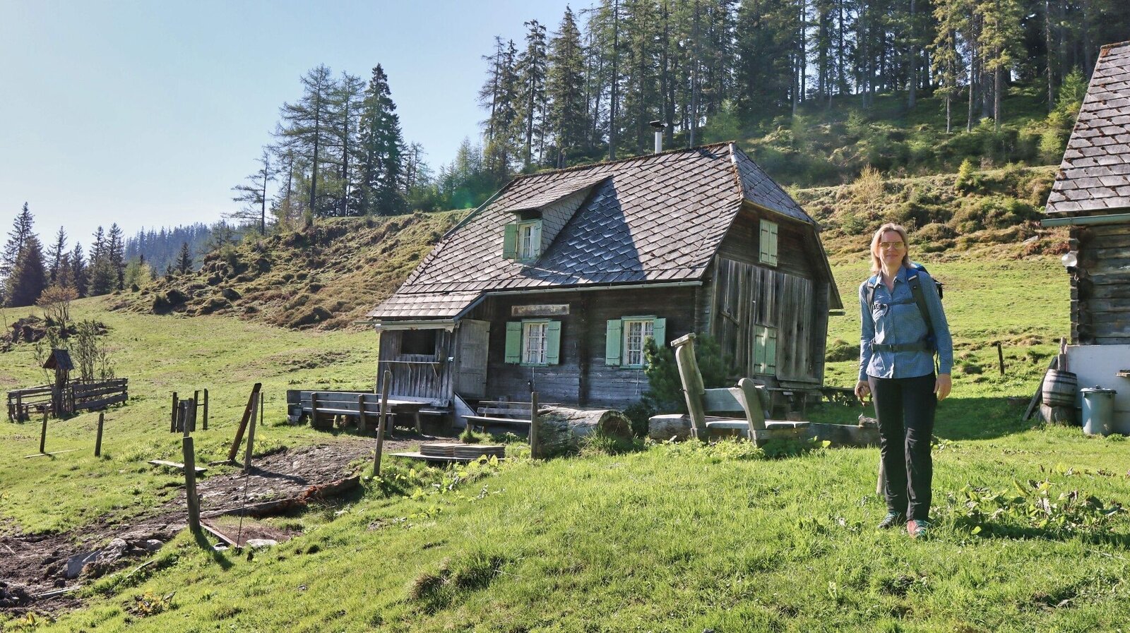
Schwarzbeeralmhütte | © Weges OG | Weges OG
6/15
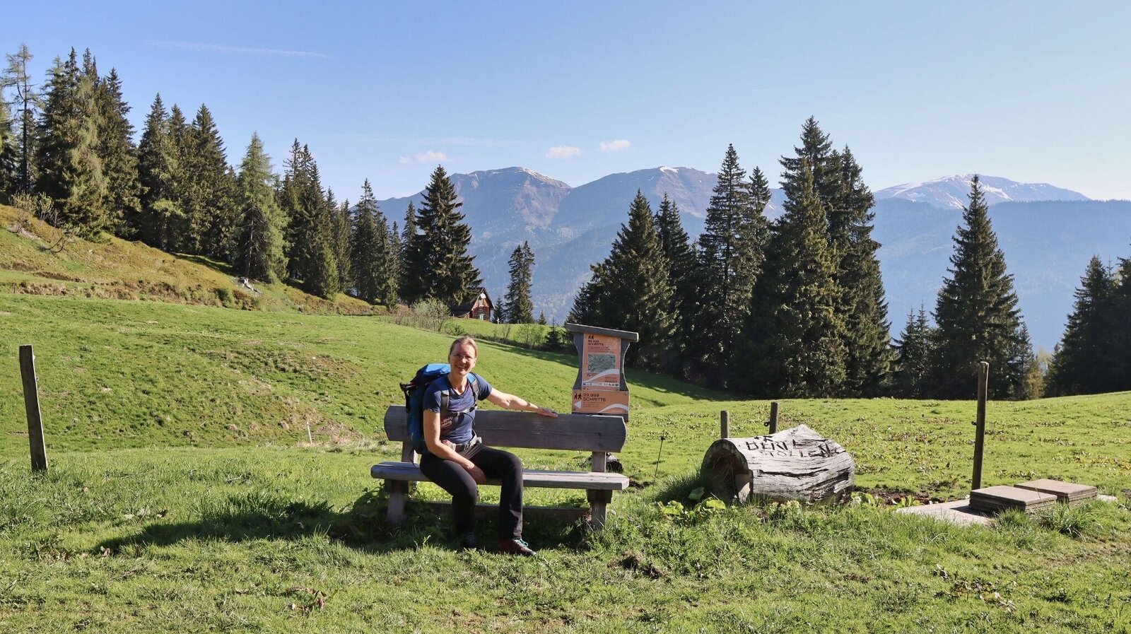
Rastplatz auf der Schwarzbeeralm | © Weges OG | Weges OG
7/15
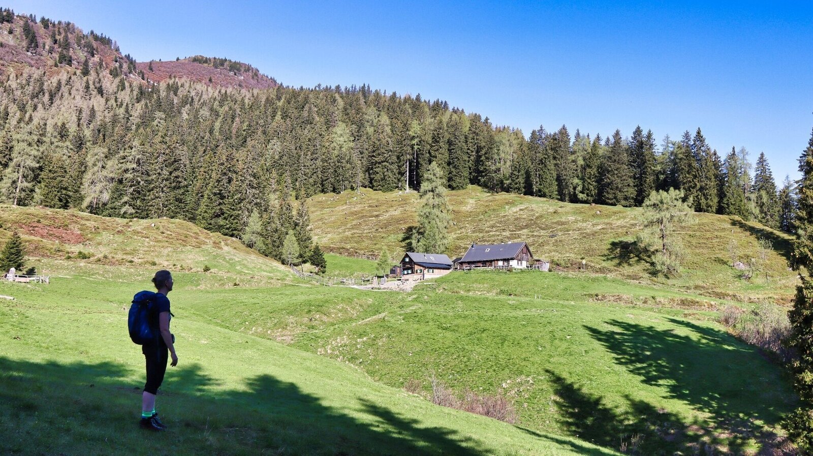
Wir erreichen die Schwarzbeeralm | © Weges OG | Weges OG
8/15
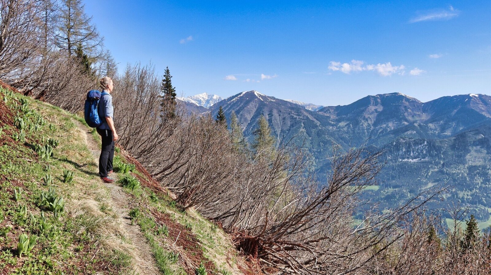
Immer wieder atemberaubende Aussicht | © Weges OG | Weges OG
9/15
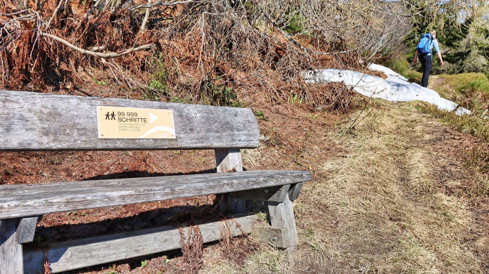
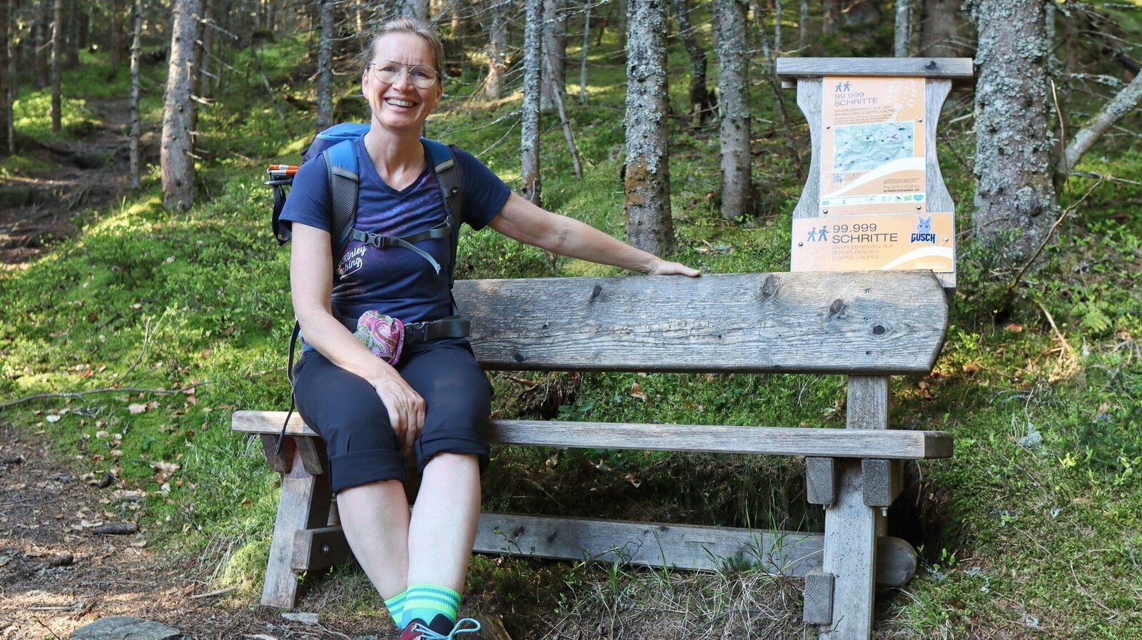
Ein 99.999 Schritte Bankerl | © Weges OG | Weges OG
10/15
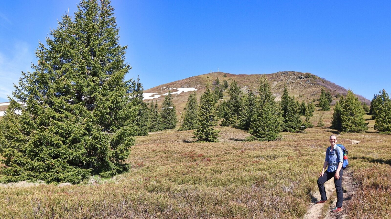
Das Ziel ist bald erreicht | © Weges OG | Weges OG
11/15
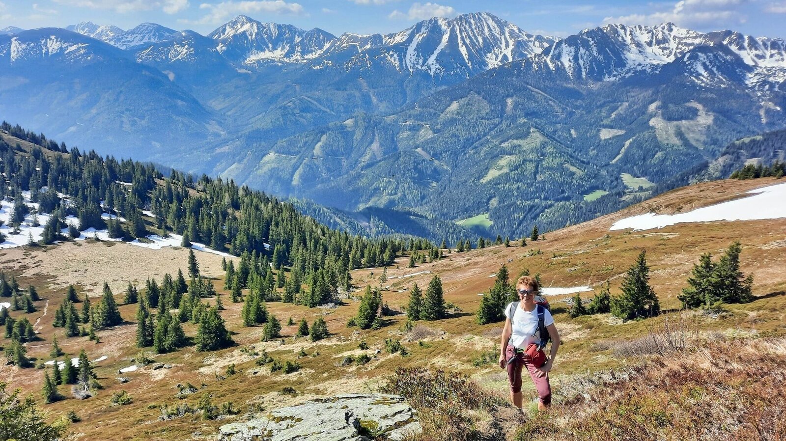
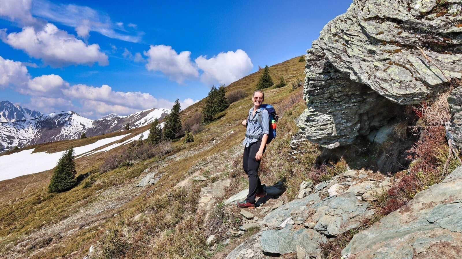
Gipfelanstieg mit Aussicht | © Weges OG | Weges OG
12/15
Spektakulärer Gipfelanstieg | © Weges OG | Weges OG
13/15
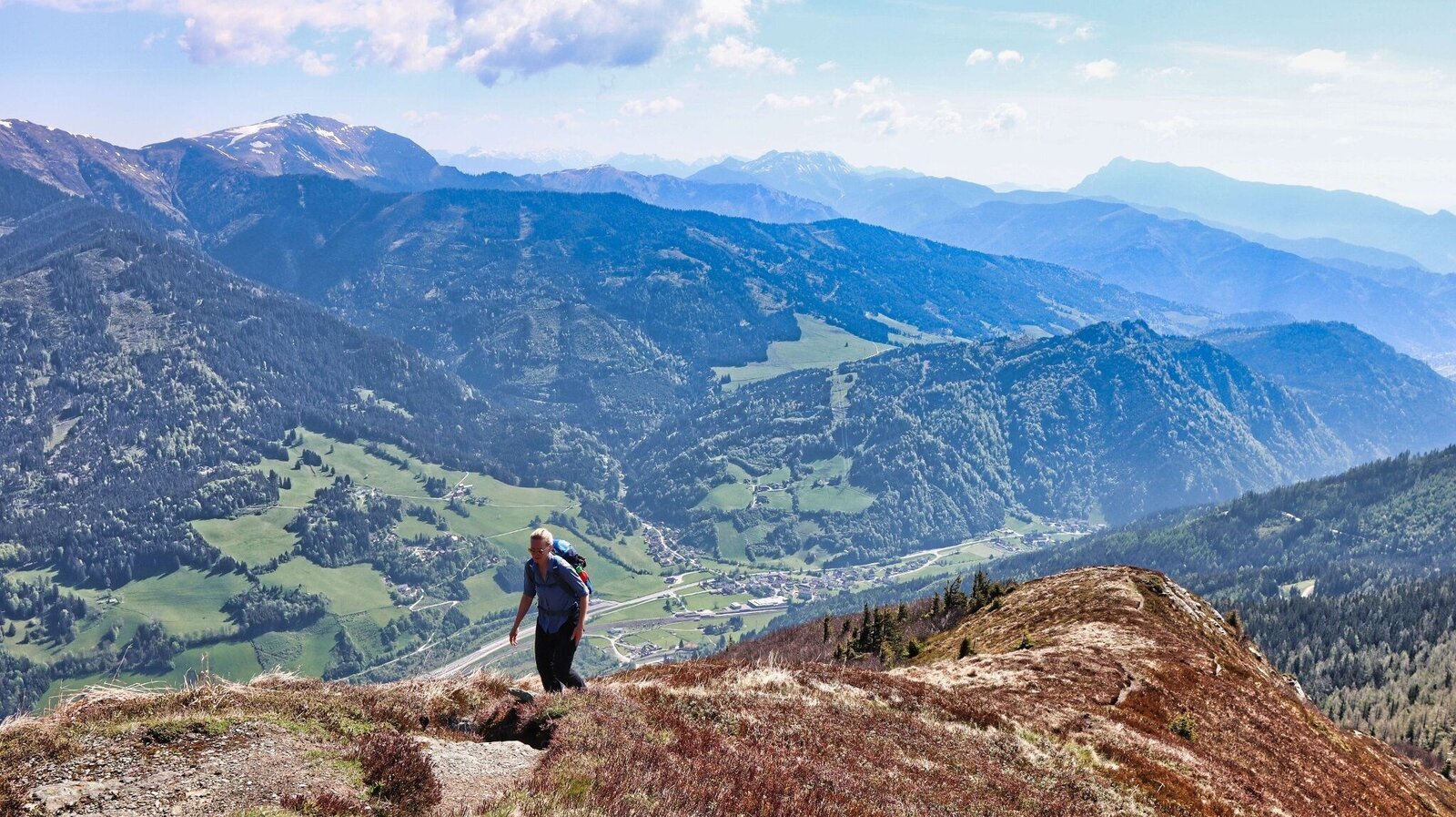
Aussicht kurz vor dem Gipfel | © Weges OG | Weges OG
14/15
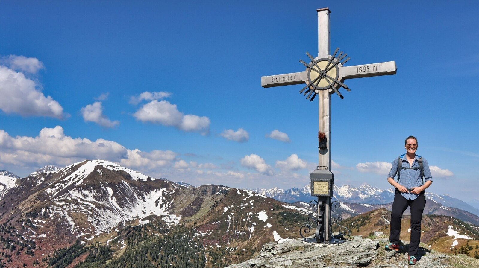
Der Große Schober, 1895 m | © Weges OG | Weges OG
15/15

What the weather will be like Wald am Schoberpaß (847m)
Today, 26.10.2026
Morning snow showers, then fairly sunny during the day.Morning

2°C
sr.Regenwahrscheinlichkeit
95%
sr.Windstärke
15 km/h
Noon

9°C
sr.Regenwahrscheinlichkeit
60%
sr.Windstärke
10 km/h
Night

3°C
sr.Regenwahrscheinlichkeit
5%
sr.Windstärke
0 km/h
Tomorrow, 27.10.2026
Sunny and cloudy periods will alternate throughout the day.Morning
0°C
sr.Regenwahrscheinlichkeit
0%
sr.Windstärke
0 km/h
Noon
11°C
sr.Regenwahrscheinlichkeit
5%
sr.Windstärke
5 km/h
Night
4°C
sr.Regenwahrscheinlichkeit
0%
sr.Windstärke
0 km/h
Forecast
28.10.2026
1°C
12°C
29.10.2026
2°C
12°C
30.10.2026

1°C
12°C
