


From Kammern im Liesingtal to the Gößeck at Reiting
Characteristics
SkillThe tour in numbers
Level of difficulty
challenging
Route
19,8 km
Time
7:30 h
Uphill
1610 hm
Downhill
1610 hm
Highest point
2214 m
High altitude air, ibexes and summit happiness: A hike in the Eisenerz Alps from the ÖBB train station Kammern to the Gößeck, the 2214 m high summit on the Kalkstock Reiting. The hike is located in the Erzberg-Leoben region.
The geological structure of the Eisenerz Alps is very diverse, so here you can find mighty limestones, such as the Kaiserschild, the Reiting, or you are on the mountains of silicate rock, such as the Zeiritzkampel or the Eisenerzer Reichenstein. The tour tip leads us in the district of Leoben to the mighty limestone Reiting, which presents itself from the Trofaiach basin and from the lower part of the Liesing valley from an impressive side. Even though this tour requires good physical condition and mountain experience, the hiking trail is technically easy to moderately difficult. As is often the case with hikes in limestone, the ascent is steep, but once you have reached the height above the tree line, the hike to Gößeck is panoramic and almost comfortable. Conclusion: A hike for advanced hikers.
Best season
January
February
March
April
May
June
July
August
September
October
November
December
More information
from Graz: A9 exit Traboch further via B113 to Kammern im Liesingtal
ÖBB station Kammern im Liesingtal and at the market place Kammern.
from Liezen: A9 exit Mautern via the B113 to Kammern im Liesingtal
Exact details for the journey you will find here
ÖBB station Kammern im Liesingtal and at the market place Kammern.
We start at the train station and walk to the center of Kammern (1), 664 m, where a hiking overview board serves as orientation. The entrance to the hiking trail is in the immediate vicinity and easily recognizable with a yellow signpost with the inscription Gößeck. We follow the asphalt road slightly uphill until we turn left after about 500 meters. From now on we follow the red-white-red marked trail uphill and soon come to a high fence crossing (2), 846 meters. The trail is led in sections on forest roads, so you have to pay close attention to the markings at the entrances. Shortly after passing a marked helicopter rescue site, we continue hiking to the right along a climb. Arriving again at a forest road, we see a small hut on the right side. On the opposite side is the entrance to the continuing climb, but it is easy to miss. Continuously we go uphill to the Rammelhütte (3), 1514 m, and further to the alpine pastures rich in views and flowers. We keep always on the right side of the ridge - attention: on the left side the terrain is partly very sloping - and come to the crossroads (4) to Mautern, 1820m. The trail is well trodden and leads through a beautiful karst landscape. At the trail junction Kaisertal we continue straight ahead and with a little luck see ibexes, which often linger close to the trail and do not let hikers upset them. After the last trail junction in the direction of Bechlgraben-Schardorf, we continue uphill for a few more meters until we reach Gößeck (5) at 2214m. The descent leads via the ascent route.
For a conflict-free coexistence on alpine pastures and meadows, it is important to observe a few rules, especially when traveling with dogs.
(Source: www.sichere-almen.at - 06/2021)
- Avoid contact with grazing animals, do not feed them, keep a safe distance!Keep calm, do not frighten grazing animals!
- Mother cows protect their calves. Avoid encounters between mother cows and dogs!
- Always keep dogs under control and on a short leash. If an attack by a grazing animal is foreseeable: Immediately unleash!
- Do not leave hiking trails on alpine pastures and meadows!If grazing animals block the way, avoid them as far as possible!
- When grazing animals approach: Stay calm, do not turn your back, avoid the animals!
- Leave the grazing area quickly at the first sign of restlessness of the animals!
- Fences must be respected!
- If there is a gate, use it, then close it well and cross the pasture quickly!
- Treat the people working here, nature and the animals with respect!
A few tips for correct and fair behavior in the forest: (Source: www.bundesforste.at - 6/2021)
- Hikers should avoid visits to the forest about 1.5 hours before sunrise and after sunset, as wildlife is especially active during this time.
- Plastic bottles, handkerchiefs, cigarette butts & Co have no place in the forest!
- Please make sure that you do not leave any trash in the forest.Camping and making fire - is strictly forbidden in the forest!
- In principle, each person is allowed to collect 2 kg of mushrooms and berries per day for personal use in the forest. It is only forbidden if the forest owner expressly forbids it.
Alpine emergency call: Mountain rescue emergency number: 140 EU emergency call: 112
Weather service: www.zamg.ac.at
Direct link mountain weather Styria: https://www.zamg.ac.at/cms/de/wetter/produkte-und-services/bergwetter/steiermark
- Backpack with rain cover
- Telescopic / hiking poles
- Mountain / hiking boots
- Gloves: waterproof and warming
- Headgear / sunglasses
- Outerwear: Onion layer system, T-shirt, sweater, jacket and winter jacket with hood
- Hiking pants
- Seat pad
- Drinking bottle / thermos flask (on cooler days a warming drink is pleasant)
- Snack
- First aid kit with blister plaster and tick tongs
Other important equipment
- Route description
- Detailed plan of the hike
- Hiking map: For overview a map in scale 1 : 50 000 of the respective region
- GPS device
- cell phone
Those who would like to make a traverse can hike over the Bechlgraben to Schardorf, whereby one must plan well in advance the way back to Kammern.
verkehrsauskunft.verbundlinie.at / Taxi Hannig, Tel. 0677/63792318
With ÖBB from Graz or Liezen to Kammern station
Fahrpläne und Reiseinformationen finden direkt bei:
Österreichischen Bundesbahnen (ÖBB) , Steiermärkischen Landesbahnen (STLB) , www.busbahnbim.at
With the BusBahnBim app of the Verbundlinie, timetable information has never been easier: all bus, train and tram connections in Austria can be queried by entering locations and/or addresses, stops or important points. The app is available as a free app for smartphones (Android, iOS) - on Google Play and in the
Tourismusverband Erzberg-Leoben
Homanngasse 12
8700 Leoben
Phone: +43 3842 48148
office@erzberg-leoben.at
Places to stop for refresments:
Gasthaus Judmayer
Regional leisure map Erzberg-Leoben is available in the tourist office and in the guesthouses
Map & downloads
Gallery
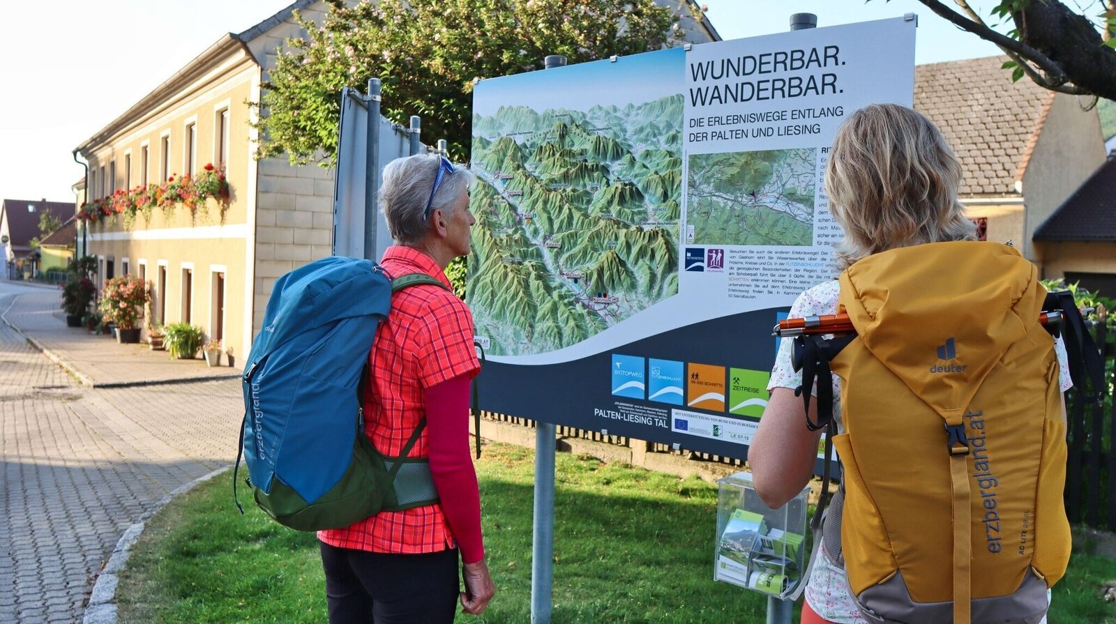
Übersichtstafel im Ort | © Weges OG | Weges OG
1/18
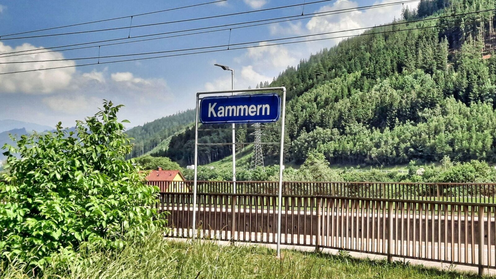
Bahnhof in Kammern | © Weges OG | Weges OG
2/18
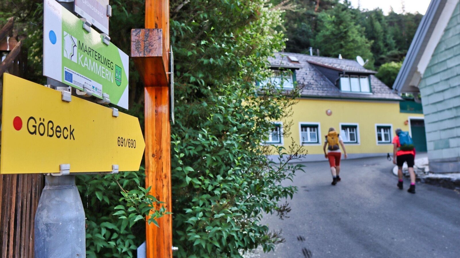
Hinweisschilder im Ort weisen uns den Weg | © Weges OG | Weges OG
3/18
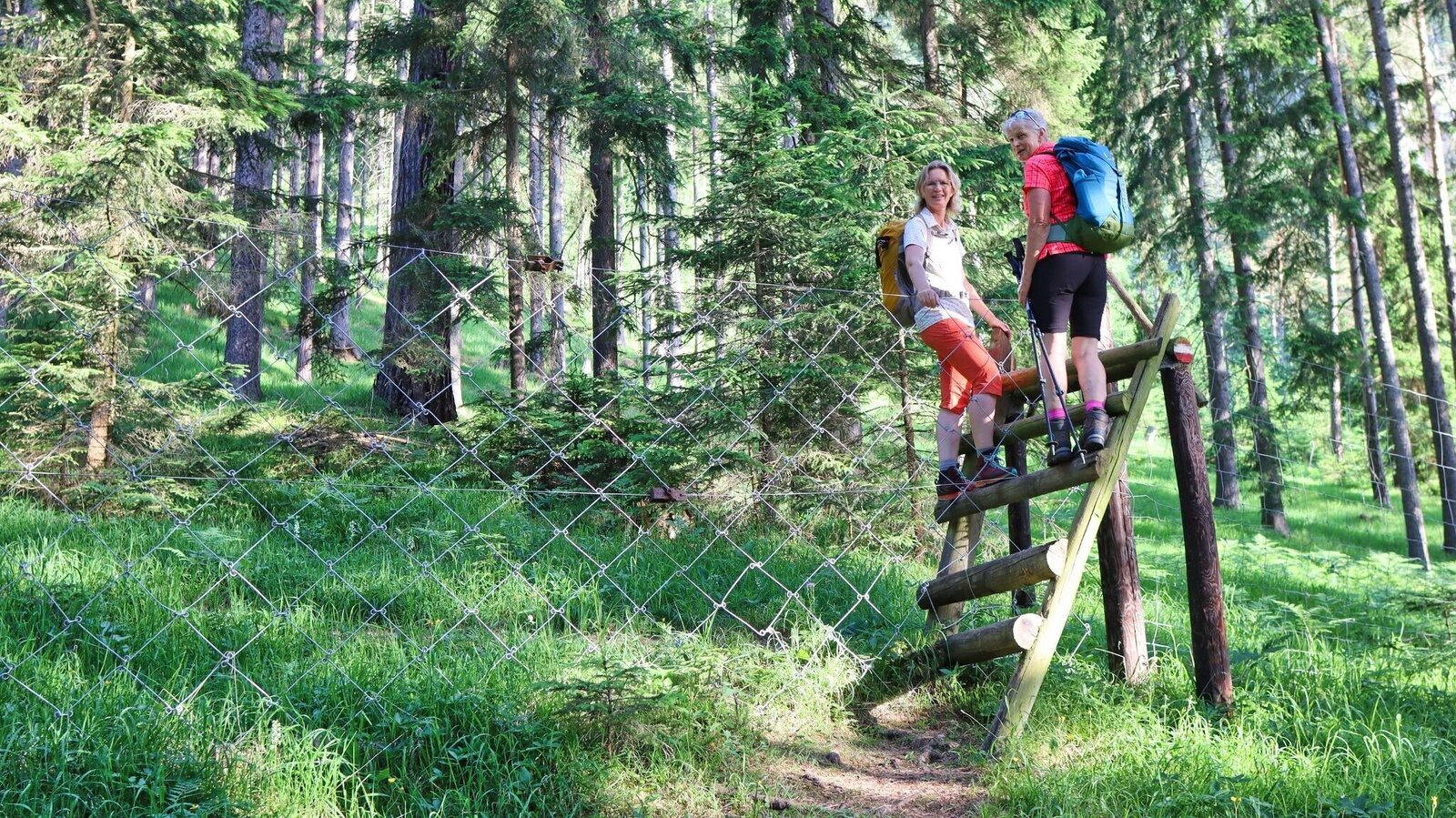
Überstieg über den Wildzaun | © Weges OG | Weges OG
4/18

Beim Aufstieg | © Weges OG | Weges OG
5/18

Wir genießen den Ausblick unterwegs | © Weges OG | Weges OG
6/18

Einstieg Wanderweg | © Weges OG | Weges OG
7/18

Rammelhütte unbewirtschaftet | © Weges OG | Weges OG
8/18

Blick von der Rammelhütte auf unser Ziel | © Weges OG | Weges OG
9/18
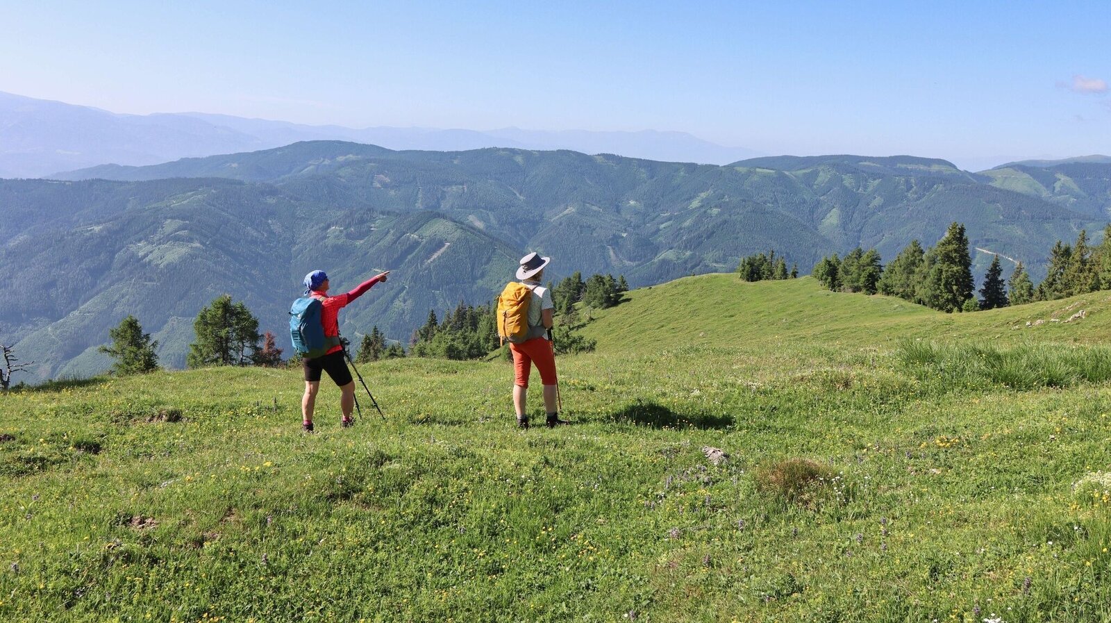
Wir haben die ersten Almflächen erreicht - Ruprecht | © Weges OG | Weges OG
10/18

Wir wandern am Grat entlang | © Weges OG | Weges OG
11/18

Abzweigung nach Mautern | © Weges OG | Weges OG
12/18

Ausblick Seckauer Tauern beim Abstieg | © Weges OG | Weges OG
13/18

Wir genießen die Flora beim Aufstieg | © Weges OG | Weges OG
14/18
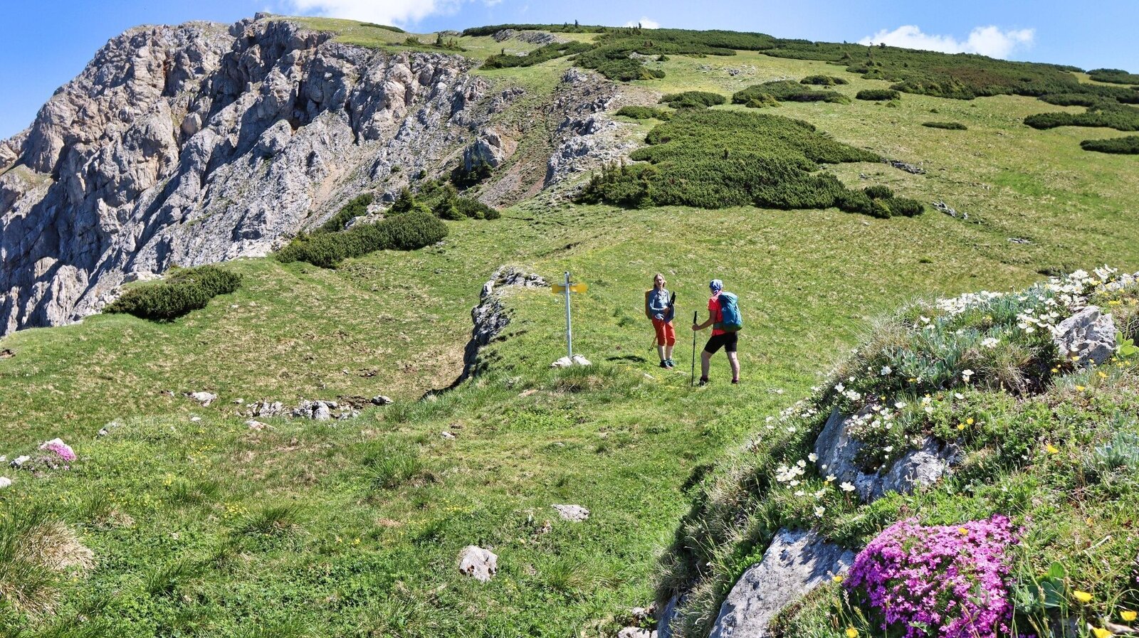
Abzweigung nach Seiz über das Kaisertal | © Weges OG | Weges OG
15/18
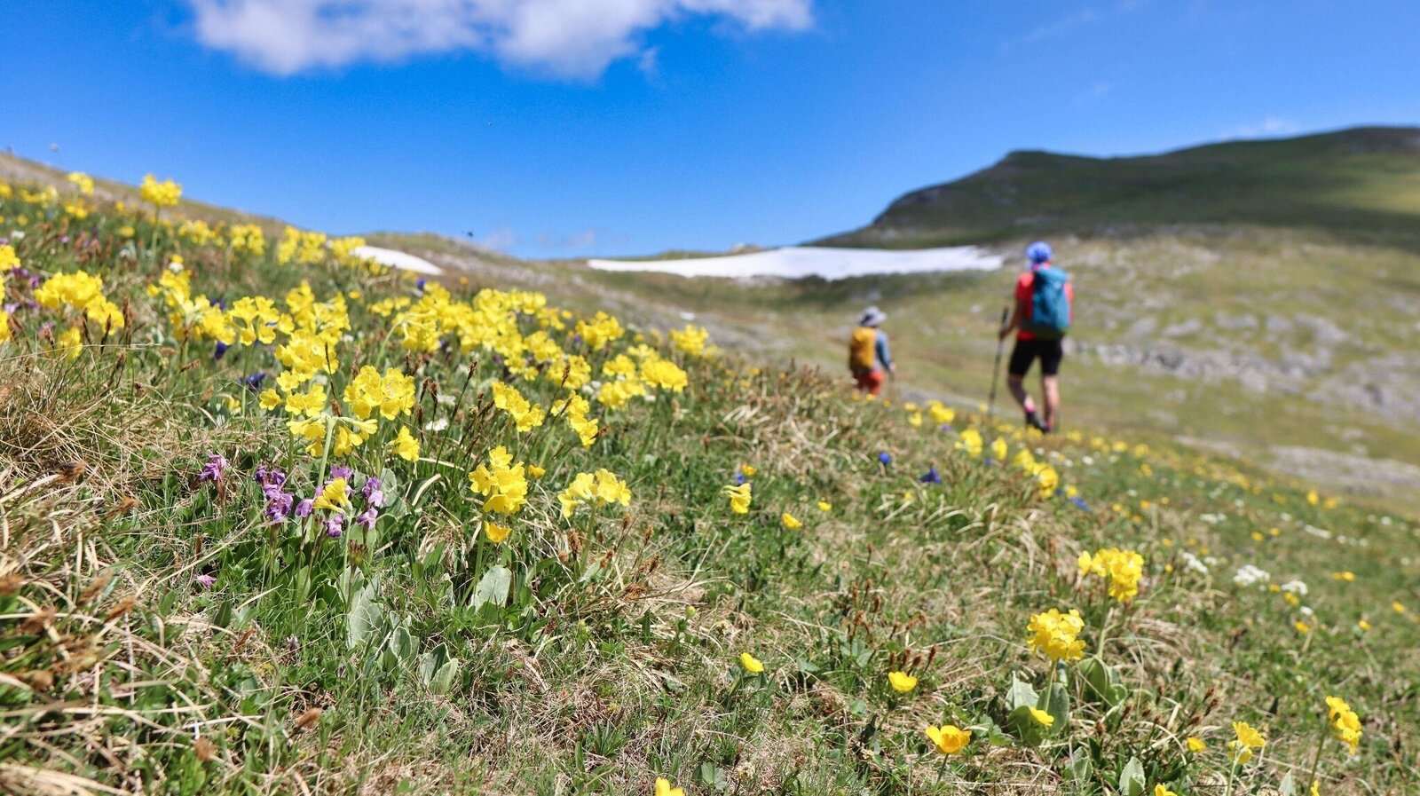
Blumenwiesen kurz vor dem Gipfel | © Weges OG | Weges OG
16/18

Blick auf die Seckauer Alpen beim Abstieg | © Weges OG | Weges OG
17/18

Am Gipfel angekommen - Gößeck, 2214 m | © Weges OG | Weges OG
18/18

What the weather will be like Kammern im Liesingtal (671m)
Today, 27.09.2026
Dry and sunny throughout the day with hardly any clouds.Morning

8°C
sr.Regenwahrscheinlichkeit
0%
sr.Windstärke
5 km/h
Noon
19°C
sr.Regenwahrscheinlichkeit
0%
sr.Windstärke
10 km/h
Night
12°C
sr.Regenwahrscheinlichkeit
0%
sr.Windstärke
0 km/h
Tomorrow, 28.09.2026
Early clouds will clear to leave the region with a dry and sunny day.Morning

6°C
sr.Regenwahrscheinlichkeit
0%
sr.Windstärke
0 km/h
Noon

20°C
sr.Regenwahrscheinlichkeit
0%
sr.Windstärke
10 km/h
Night
13°C
sr.Regenwahrscheinlichkeit
0%
sr.Windstärke
5 km/h
Forecast
29.09.2026
6°C
22°C
30.09.2026
5°C
22°C
01.10.2026
5°C
22°C
