


Marterlweg Route 3 (red)
Accessible by public transport- Train (within 15 minutes walking distance from starting point)
- Public bus (within 15 minutes walking distance from starting point)
Characteristics
SkillThe tour in numbers
Level of difficulty
easy
Route
13,2 km
Time
3:45 h
Uphill
305 hm
Downhill
305 hm
Highest point
854 m
The Marterlweg comprises 4 different routes and is located in the Erzberg-Leoben. region.
The Marterlweg in the municipality of Kammern im Liesingtal, Styria, is extremely interesting from both a scenic and a cultural point of view.
Each wayside shrine tells its own story and is usually located along the path or on private property. The wayside shrines are lovingly cared for by their owners all year round.
Route 3 passes by 12 shrines and crosses. A speical sight is the church of St. Ulrich in Seiz.
Best season
January
February
March
April
May
June
July
August
September
October
November
December
More information
The varied tour begins in the district of Seiz at the chapel of the Mitter family.(33) The starting point and, because of the tour, also the end point and includes 12 different wayside shrines, chapels and wayside shrines as well as the Ulrich Church in Seiz, which lies directly on the route. The trail continues to the district of Mochl and then to Glarsdorf.
It is also no secret that hiking makes you hungry and thirsty. Of course, there are several "rest stops" and benches along the Marterlweg where you can linger and recharge your batteries (see map legend). Directly at the starting point you will also find a pictorial description of all 4 walks through Kammern as well as a hiking map that can be taken free of charge.
Planning your desired tour properly in advance is a must.
Emergency call rescue: 144
Emergency reporting tip - give answers to six important questions: What happened? How many injured? Where did the accident happen (possibly GPS coordinates)? Who reported the accident (call-back number)? When did the accident happen? Weather at the accident site?
Proper backpacking makes many things easier: Pack heavy things first. The water bottle should always be within easy reach in a side pocket. All things that are often needed, such as sunglasses, camera or hiking map, belong on top. An emergency kit including blister plasters belongs in every rucksack and it is always advisable to put on different layers of clothing.
Travelling to Kammern by train or by bike (Rastlandradweg R15) is the environmentally friendly and stress-free alternative to travelling by car.
With the BusBahnBim app of the Verbundlinie, timetable information has never been easier: all bus, train and tram connections in Austria can be queried by entering locations and/or addresses, stops or important points. The app is available as a free app for smartphones (Android, iOS) - on Google Play and in the App Store.
Tourismusverband Erzberg-Leoben
Homanngasse 12
8700 Leoben
Phone: +43 3842 48148
office@erzberg-leoben.at
Homanngasse 12
8700 Leoben
Phone: +43 3842 48148
office@erzberg-leoben.at
Map & downloads
Gallery

Die Kapelle ist dem Hl. Christophorus | © TVB Erzberg-Leoben | K.Wassler
1/3

marterlweg route 3 (rot)_img_23773182 | © TVB Erzberg-Leoben | K. Wassler
2/3
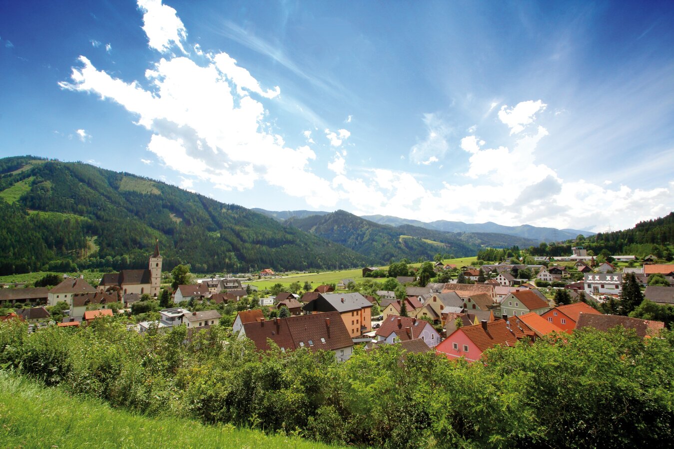
c_k.wassler_kammern_marterlweg_5.jpg | © TVB Erzberg-Leoben | Katharina Wassler
3/3

What the weather will be like Kammern im Liesingtal (671m)
Today, 18.10.2026
Early clouds will gradually clear to leave the region with a dry and sunny day.Morning

7°C
sr.Regenwahrscheinlichkeit
0%
sr.Windstärke
0 km/h
Noon
17°C
sr.Regenwahrscheinlichkeit
0%
sr.Windstärke
5 km/h
Night

11°C
sr.Regenwahrscheinlichkeit
0%
sr.Windstärke
5 km/h
Tomorrow, 19.10.2026
Morning clouds will clear gradually. Then frequent sunny periods.Morning

6°C
sr.Regenwahrscheinlichkeit
0%
sr.Windstärke
0 km/h
Noon
15°C
sr.Regenwahrscheinlichkeit
0%
sr.Windstärke
5 km/h
Night
10°C
sr.Regenwahrscheinlichkeit
0%
sr.Windstärke
5 km/h
Forecast
20.10.2026
6°C
15°C
21.10.2026

7°C
16°C
22.10.2026
5°C
11°C
