


Donnersalpe
Characteristics
SkillThe tour in numbers
Level of difficulty
medium
Route
10,1 km
Time
5:30 h
Uphill
671 hm
Downhill
671 hm
Highest point
1523 m
The hike to Donnersalpe is located in Erzberg-Leoben.
On the hike to Donnersalpe (1539m) you can enjoy wonderful views of Wildfeld and Stadelstein already on the ascent. Once you reach the summit, you are rewarded with an impressive mountain panorama. The view of the Kaiserschild, Seemauer, Hochblaser, Pfaffenstein, Polster, Eisenerzer Reichenstein and the unique Erzberg is extremely impressive and makes the Donnersalpe, despite its low altitude, a particularly rewarding viewpoint.
Thanks to the relatively low altitude, the hike to the Donnersalpe is an ideal family hike!
Best season
January
March
March
April
May
June
July
August
September
October
November
December
More information
The so-called "waterfall trail" branches off directly at the bridge opposite the Gemeindealm (1018m) (signpost). Cross a meadow to the beginning of the steep forest belt, through which the marked trail leads in many hairpin bends to the tree-free ridge of the Donnersalpe (1539m).
Descent:
Descent from the summit of the Donnersalpe (1539m) on the marked trail (Almbodenm unpleasant "cow steps") to a forest road. Cross this and descend through the forest to the meadows and farms on Hohenegg (approx. 970m). Poorly marked in places, pay attention to signposts and markings. From Hohenegg on a shady forest path to Ramsau (865m), return to the starting point on an additional 2.8km road (45min.).
From the Gemeindealm car park at the panorama panel, we first hike into the valley over a bridge. Immediately afterwards, turn right across the pasture to the high forest; continue following the markings (Wasserfallsteig), up serpentines to a rest area. We continue through a forest to a flat alpine pasture, along which we climb slightly to the approaching summit.
Translated with www.DeepL.com/Translator (free version)
Planning your desired tour properly in advance is a must.
Emergency call rescue: 144
Emergency reporting tip - give answers to six important questions: What happened? How many injured? Where did the accident happen (possibly GPS coordinates)? Who reported the accident (call-back number)? When did the accident happen? Weather at the accident site?
Proper backpacking makes many things easier: Pack heavy things first. The water bottle should always be within easy reach in a side pocket. All things that are often needed, such as sunglasses, camera or hiking map, belong on top. An emergency kit including blister plasters belongs in every rucksack and it is always advisable to put on different layers of clothing.
After the hike you should take a break at "Gemeindealm" and enjoy some of their homemade sepcialities.
With the BusBahnBim app of the Verbundlinie, timetable information has never been easier: all bus, train and tram connections in Austria can be queried by entering locations and/or addresses, stops or important points. The app is available as a free app for smartphones (Android, iOS) - on Google Play and in the App Store
Tourismusverband Erzberg-Leoben
Homanngasse 12
8700 Leoben
Phone: +43 3842 48148
office@erzberg-leoben.at
Map & downloads
Gallery
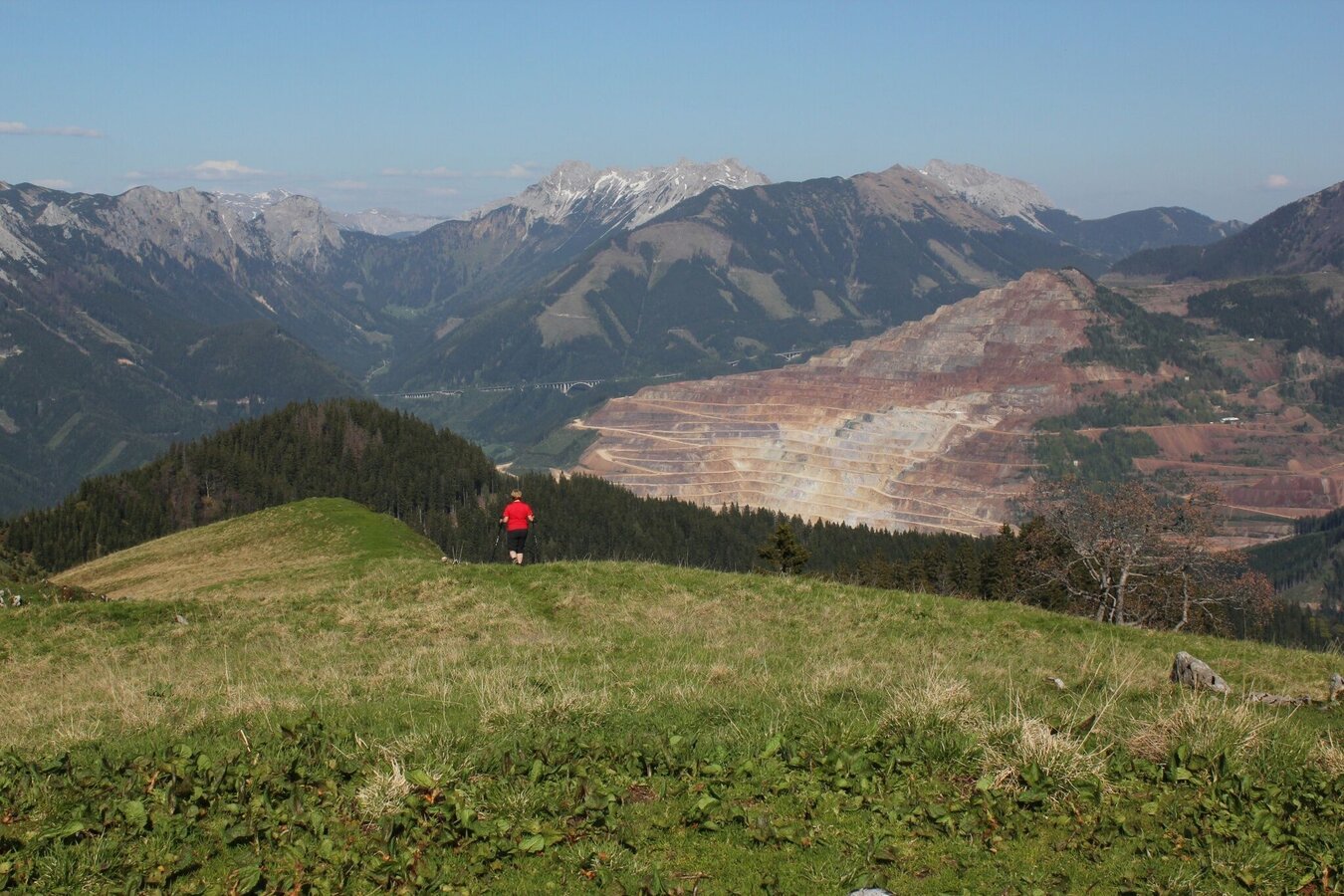
Donnersalpe | © Tourismusverband ERZBERG LEOBEN | Brandner Heli
1/8
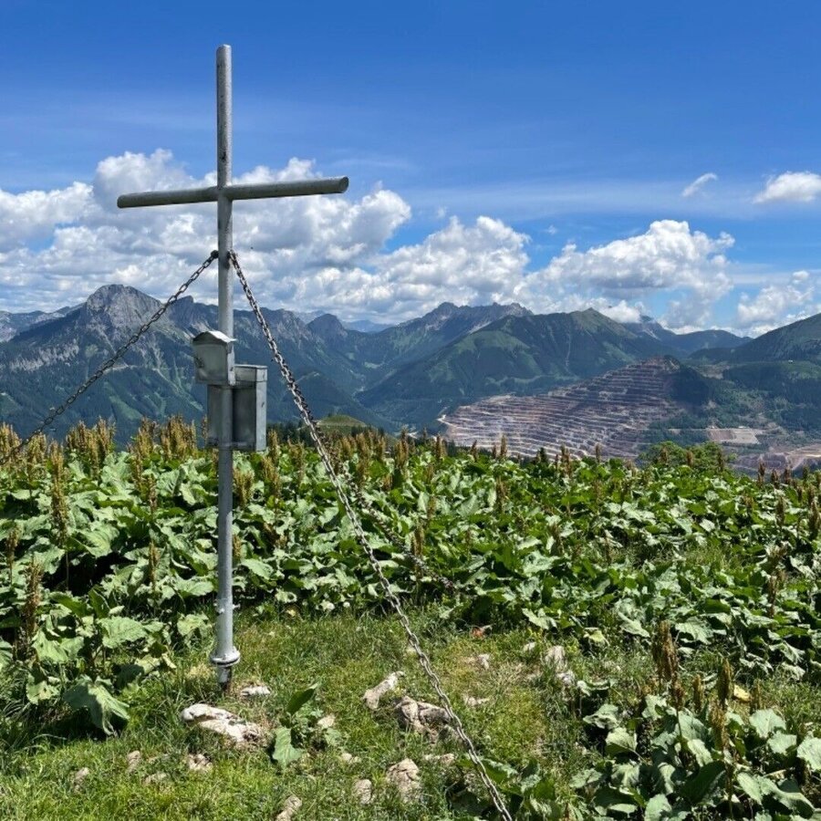
Donnersalpe | © Tourismusverband ERZBERG LEOBEN | _d3us_ IG
2/8
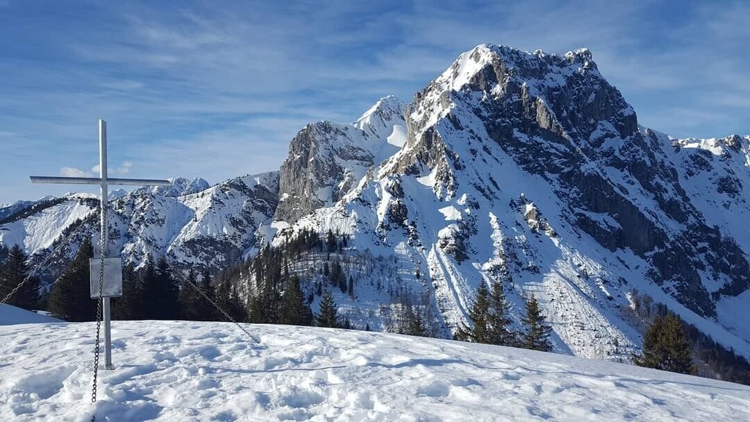
Donnersalpe | © Tourismusverband ERZBERG LEOBEN | regenblau_ IG
3/8
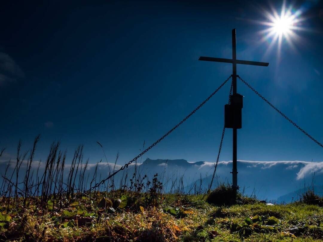
Donnersalpe | © Tourismusverband ERZBERG LEOBEN | rkteddy82 IG
4/8
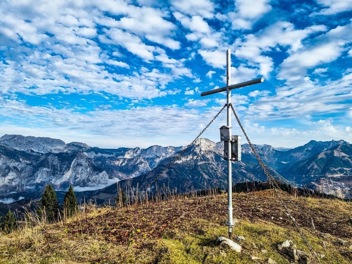
Donnersalpe | © Tourismusverband ERZBERG LEOBEN | viickey__ IG
5/8
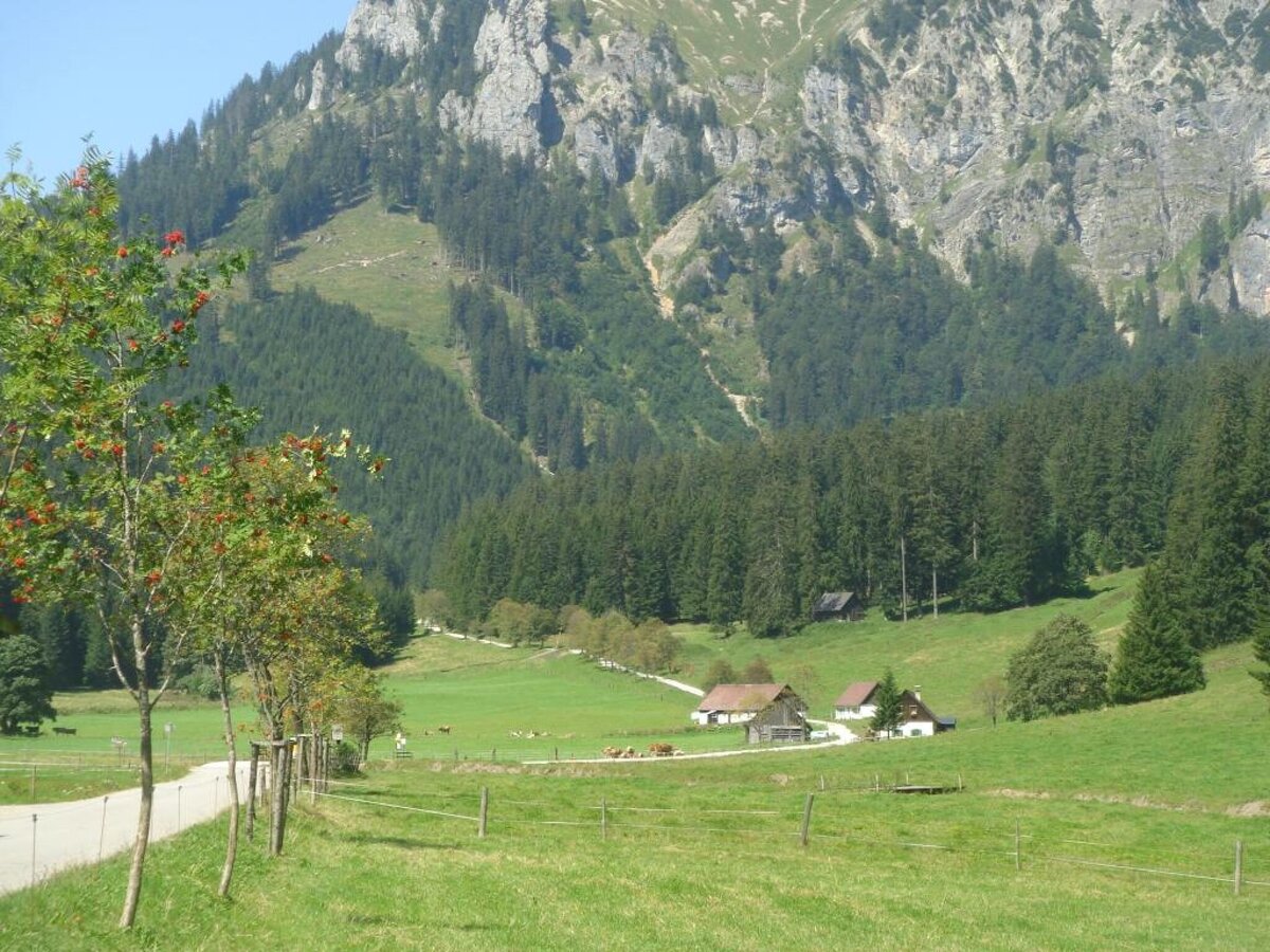
Eisenerzer Ramsau in Richtung Radmerer Hals | © Tourismusverband ERZBERG LEOBEN | Petra Loitzl
6/8
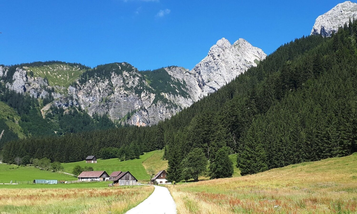
Eisenerzer Ramsau | © Tourismusverband ERZBERG LEOBEN | Eisenwadl TESTED
7/8
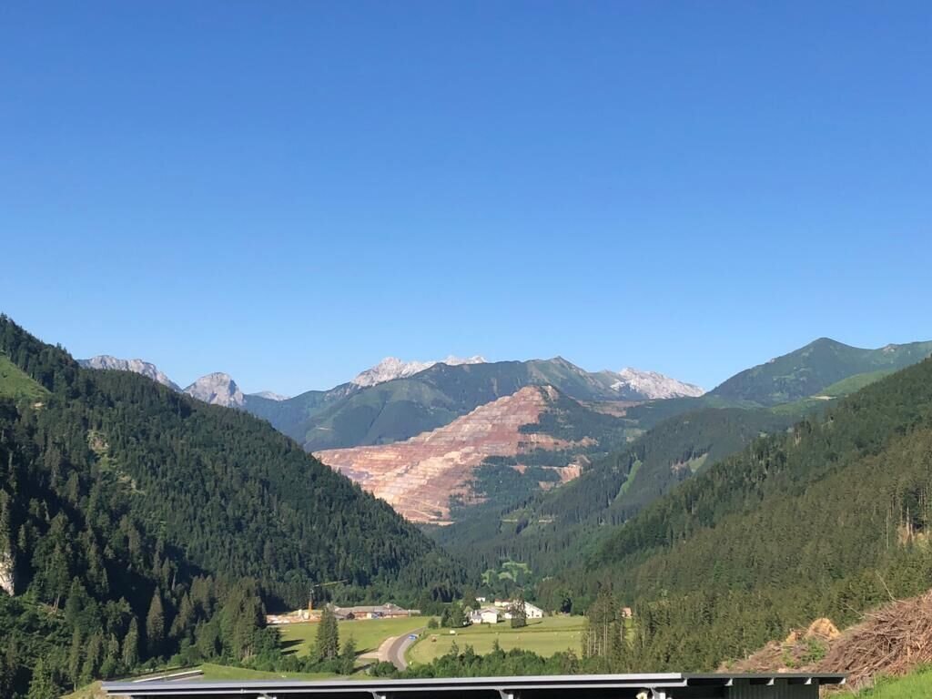
Eisenerzer Ramsau | © Tourismusverband ERZBERG LEOBEN | Petra Loitzl
8/8

What the weather will be like Eisenerz (711m)
Today, 30.09.2026
Dry and sunny throughout the day with hardly any clouds.Morning

9°C
sr.Regenwahrscheinlichkeit
0%
sr.Windstärke
5 km/h
Noon
21°C
sr.Regenwahrscheinlichkeit
0%
sr.Windstärke
10 km/h
Night
14°C
sr.Regenwahrscheinlichkeit
0%
sr.Windstärke
10 km/h
Tomorrow, 01.10.2026
Dry and bright with plenty of sunshine, clouds will be rare.Morning
8°C
sr.Regenwahrscheinlichkeit
0%
sr.Windstärke
5 km/h
Noon
21°C
sr.Regenwahrscheinlichkeit
0%
sr.Windstärke
10 km/h
Night

13°C
sr.Regenwahrscheinlichkeit
0%
sr.Windstärke
5 km/h
Forecast
02.10.2026
5°C
20°C
03.10.2026
4°C
21°C
04.10.2026
4°C
21°C
