


Sundial path (Sonnenuhrenweg)
Accessible by public transport- Public bus (within 15 minutes walking distance from starting point)
Characteristics
SkillThe tour in numbers
Level of difficulty
easy
Route
3,7 km
Time
1:00 h
Uphill
123 hm
Downhill
123 hm
Highest point
382 m
Time is breathing down your neck? Certainly not here! In Straden, people sometimes set the time according to the sundial.
Sundials invite you to take your time. Time to look at them, time to occupy yourself with them. The noiseless timekeepers adorn churches, house facades or can be found in gardens. Just as our rolling hills and quiet hiking trails invite mindful exploration, sundials are scattered throughout the landscape like pearls waiting to be discovered. The sundial on the Straden church wall dates back to 1521 and shows the true local time. Straden is located in the heart of a region with the most hours of sunshine in Austria. With the construction of a sundial, old cultural heritage is kept alive. It reflects the style and creativity of its builder and can outlast generations. Today, the Straden sundials are a symbol of sunny Straden and pausing in a hectic time.
Best season
January
February
March
April
May
June
July
August
September
October
November
December
More information
Follow the signs to Straden, before you get to the hilltop turn left into the parking lot. You can find detailed information on how to get here.
Ample free parking available at the cemetery parking lot.
Ample free parking available at the cemetery parking lot.
Emergency call mountain rescue: 140
ambulance: 144
European emergency call: 112
firefighters: 122
police: 133
Tips when reporting an emergency – Answer these six WH questions: What happened? How many people are injured? Where did the accident happen (are there GPS coordinates)? Who is reporting the incident (callback number)? When did the accident happen? What is the weather like at the site of the incident?
Proper backpack packing makes many things easier: Pack heavy things first. The water bottle should always be within reach in a side pocket. All the things that are often needed, such as sunglasses, camera or hiking map, belong on top. An emergency kit, including blister plasters, belongs in every rucksack and it is always advisable to dress in layers.
Let's leave the watch at home and try the sundials along the way!
Detailed information about arriving by ÖBB (Austrian Federal Railways) can be found at www.oebb.at or on the Verbundlinie Steiermark website www.busbahnbim.at
With Verbundlinie’s BusBahnBim route planner app, planning your journey has never been easier: simply enter towns and/or addresses, stop names or points of interest to check all bus, train and tram connections in Austria. The app is available free of charge for smartphones – on Google Play and in the App Store
Tourist Office Thermen- und Vulkanland
Gästeinfo Bad Gleichenberg
Kaiser-Franz-Josef-Str. 1/top 4
8344 Bad Gleichenberg
+43 3382 55 100-44
badgleichenberg@thermen-vulkanland.at
www.thermen-vulkanland.at
Gästeinfo Bad Gleichenberg
Kaiser-Franz-Josef-Str. 1/top 4
8344 Bad Gleichenberg
+43 3382 55 100-44
badgleichenberg@thermen-vulkanland.at
www.thermen-vulkanland.at
- Hiking map of the municipality of Straden
Map & downloads
Gallery
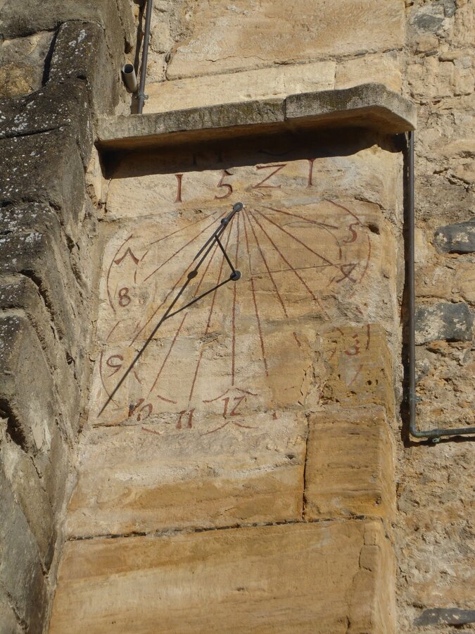
Sonnenuhr | © Marktgemeinde Straden | Christa Schillinger
1/10
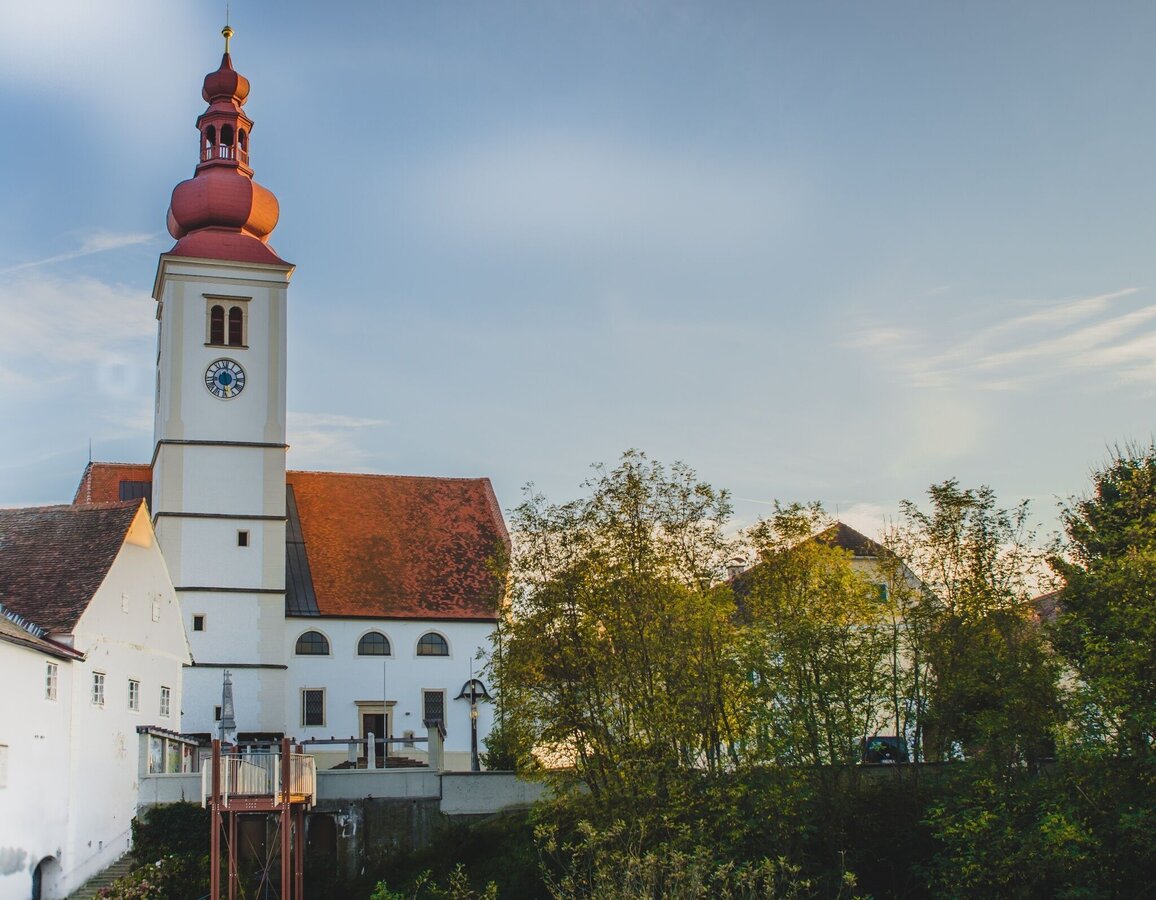
Hochzeitssteg mit Pfarrkirche | © Gemeinde Straden | Marlene Eibel
2/10
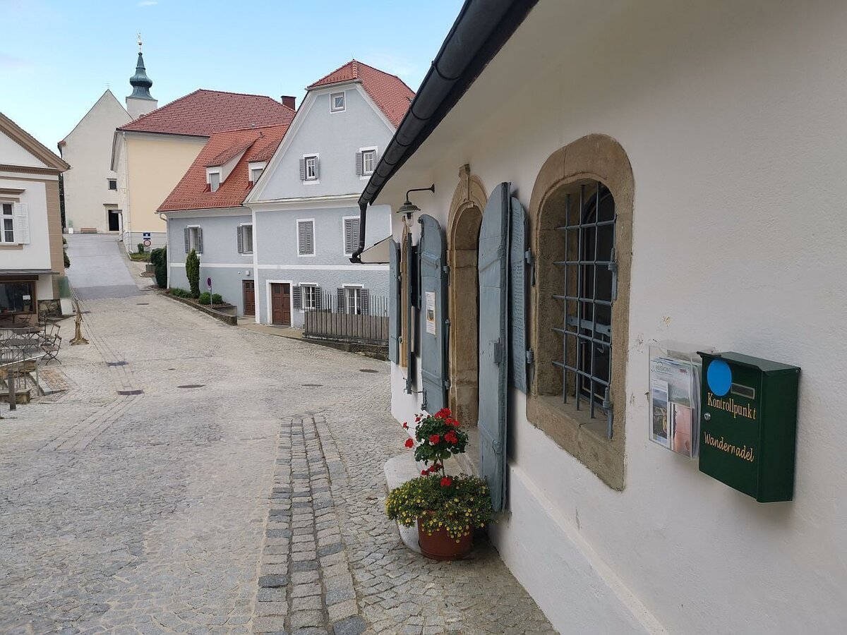
Blick vom Stempelkasten zur Floriani Kirche | © Thermen- & Vulkanland | Daniela Neubauer
3/10
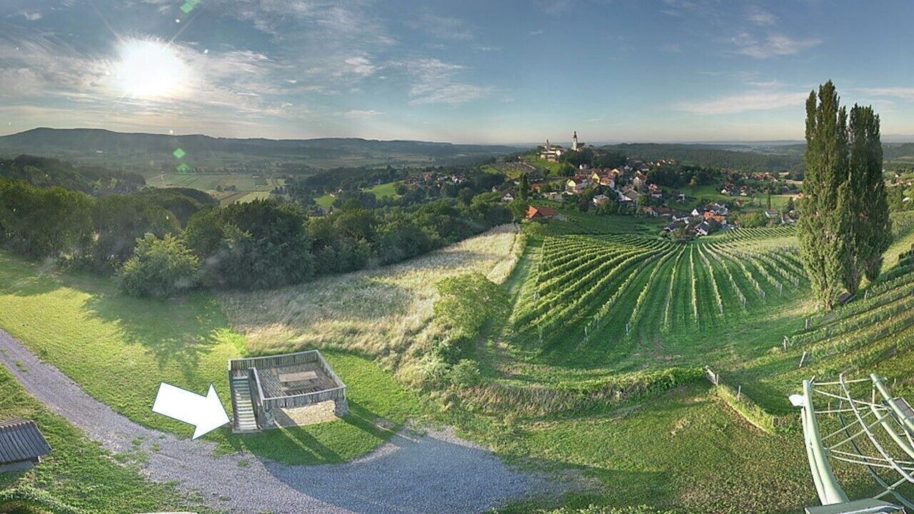
genau hier befindet sich der Stempelkasten | © Thermen- & Vulkanland | Panoramakamera
4/10
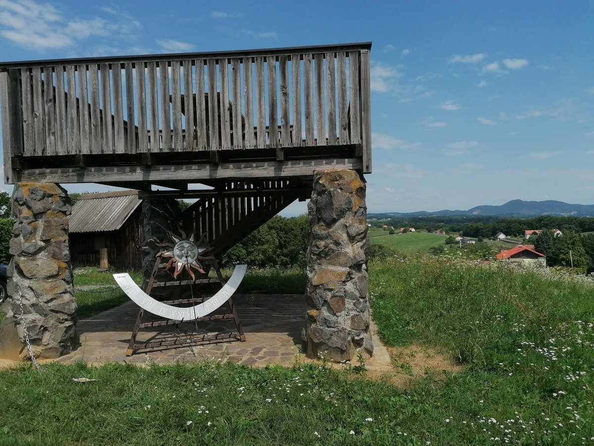
Sonnenuhr am Saziani | © Thermen- & Vulkanland | Daniela Neubauer
5/10
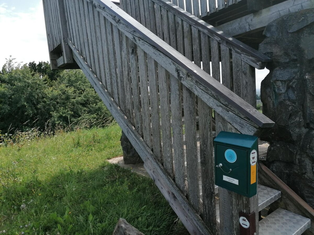
Stempel bei der Aussichtsplattform Saziani | © Thermen- & Vulkanland | Daniela Neubauer
6/10
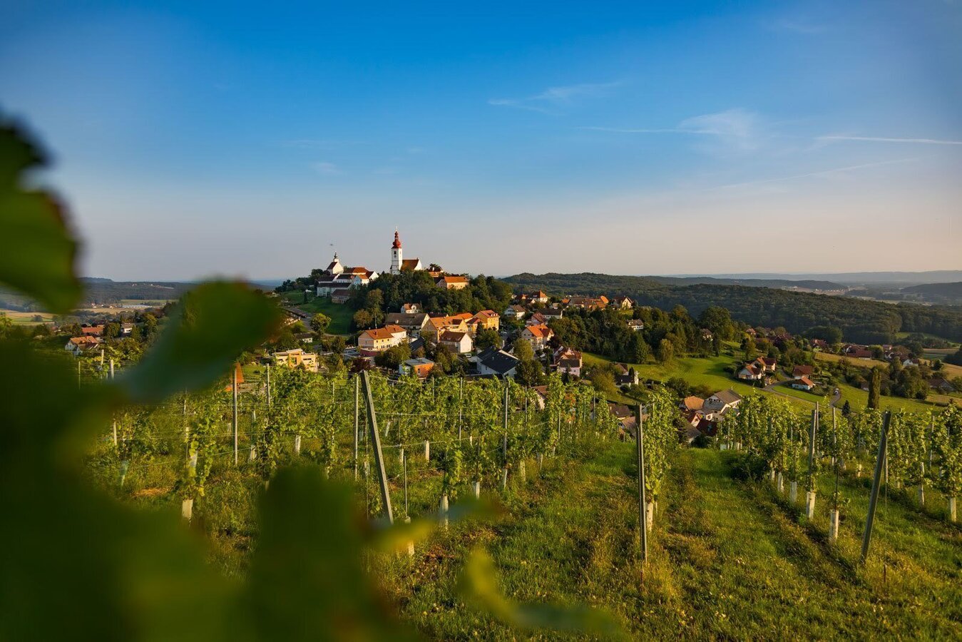
Blick auf Straden | © Thermen- & Vulkanland | Werner Krug
7/10
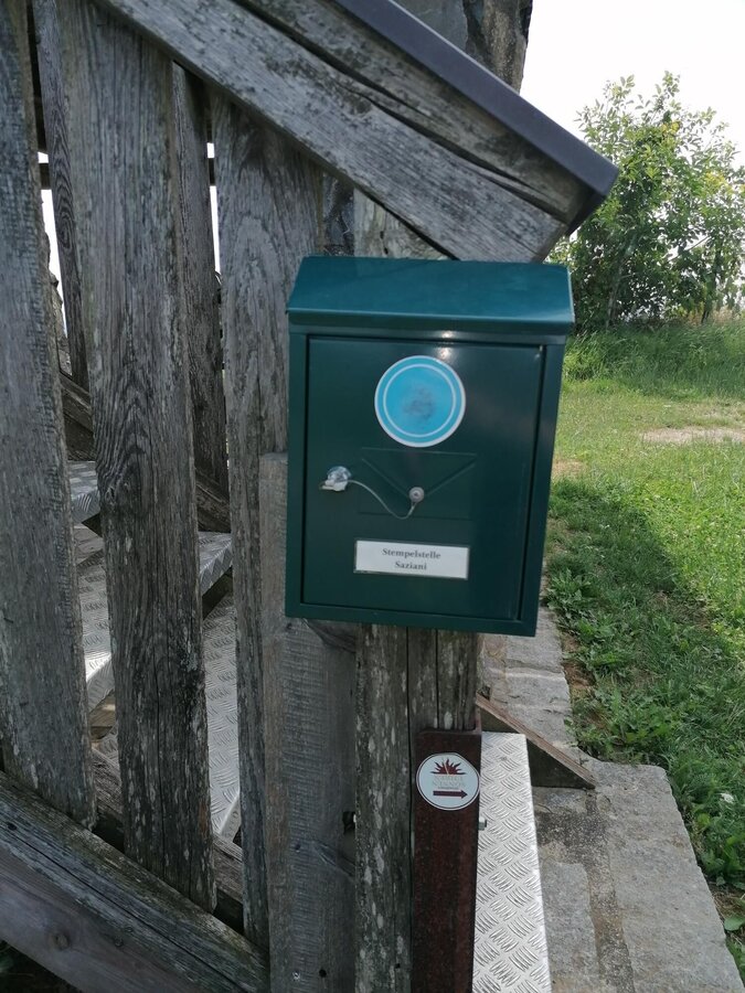
Stempelkasten | © Thermen- & Vulkanland | Daniela Neubauer
8/10
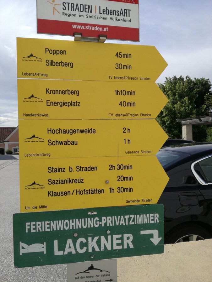
Starttafel in Straden | © Thermen- & Vulkanland | Daniela Neubauer
9/10
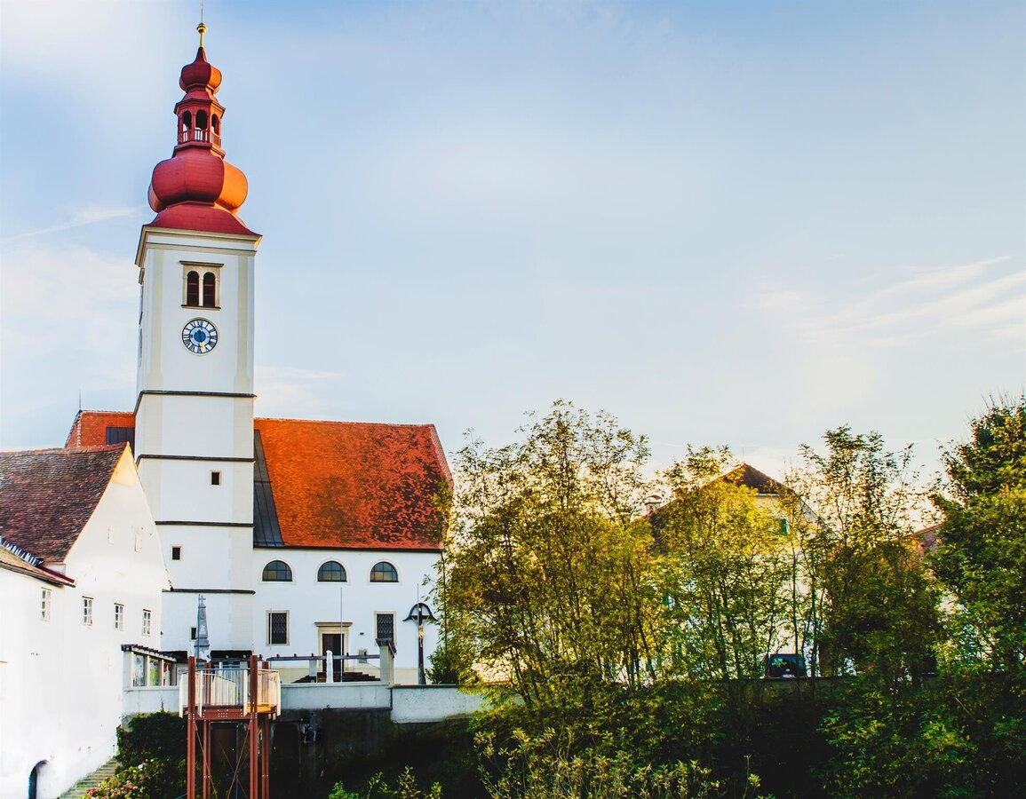
Pfarrkirche mit Hochzeitssteg | © Zur Verfügung gestellt von der Marktgemeinde Straden | Marlene Eibel
10/10

What the weather will be like Straden (340m)
Today, 23.10.2026
Fog and clouds will clear gradually and will give way to sunshine around noon.Morning

1°C
sr.Regenwahrscheinlichkeit
0%
sr.Windstärke
0 km/h
Noon

12°C
sr.Regenwahrscheinlichkeit
0%
sr.Windstärke
10 km/h
Night

7°C
sr.Regenwahrscheinlichkeit
0%
sr.Windstärke
0 km/h
Tomorrow, 24.10.2026
Heavy rain in the morning, drying up in the afternoon.Morning

6°C
sr.Regenwahrscheinlichkeit
90%
sr.Windstärke
5 km/h
Noon

9°C
sr.Regenwahrscheinlichkeit
80%
sr.Windstärke
5 km/h
Night

5°C
sr.Regenwahrscheinlichkeit
30%
sr.Windstärke
0 km/h
Forecast
25.10.2026
0°C
11°C
26.10.2026
3°C
15°C
27.10.2026
2°C
14°C
