


Open
Dominion forest trail (Herrschaftswaldweg)
Accessible by public transport- Train (within 15 minutes walking distance from starting point)
- Public bus (within 15 minutes walking distance from starting point)
Characteristics
FitnessThe tour in numbers
Level of difficulty
easy
Route
11,3 km
Time
3:30 h
Uphill
155 hm
Downhill
155 hm
Highest point
380 m
The Herrschaftswaldweg is a very flat trail, which mostly leads through the forest. The W7 leads from Bad Waltersdorf - Wagerberg and Limbach.
Hiking improves endurance and strengthens the musculoskeletal system. In addition, regular exercise has positive effects on physical as well as mental health.
The starting point of the hiking tour is the information office in the center of Bad Waltersdorf. The hike leads to Limbach. On the flat tour you cross forests and can be enchanted by quiet places. The route leads past the Heiltherme Bad Waltersdorf and numerous hosts of the 2-Thermenregion.
Best season
January
February
March
April
May
June
July
August
September
October
November
December
More information
Detailed information on how to get there can be found here.
There are numerous parking spaces available throughout the center of Bad Waltersdorf.
There are numerous parking spaces available throughout the center of Bad Waltersdorf.
At the beginning of the tour you will take some impressions of the center of the 2-thermal region Bad Waltersdorf. A visit to the Roman Stone Museum next to the parish church is highly recommended. Cross the main intersection - then turn right along Schulstraße past the outdoor pool and the school. Then continue straight ahead over the railroad crossing to the thermal spa, after which the tour joins the so-called Thermenstraße. Cross the crossroads in Wagerberg straight on and you are already on a forest path past the pond. The path leads to Limbach and past its ponds. Then turn right into the Herrschaftswald. At the end of the asphalt road turn right, then cross the bridge and take the Burgauer Straße back to Wagerberg and the village center.
- direction main crossing
- cross the bridge, then turn right
- cross the railroad
- straight ahead to the thermal spa, up the hill to Wagerberg
- cross the crossing, pass the village pond
- along the flat gravelled forest path to Unterlimbach
- at the end of the forest (Limbacher Teiche) turn right into the Herrschaftswald
- at the end of the asphalt road turn right and cross the bridge
- on the Burgauer Straße further in the direction of Wagerberg
- at the beginning of Wagerberg turn left
- pass the thermal spa and return to Bad Waltersdorf
- Ambulance: 144
- European emergency call: 112
Tips when reporting an emergency – Answer these six WH questions: What happened? How many people are injured? Where did the accident happen (are there GPS coordinates)? Who is reporting the incident (callback number)? When did the accident happen? What is the weather like at the site of the incident?
Proper backpack packing makes many things easier: Pack heavy things first. The water bottle should always be within reach in a side pocket. All the things that are often needed, such as sunglasses, camera or hiking map, belong on top. An emergency kit, including blister plasters, belongs in every rucksack and it is always advisable to dress in layers.
Detailed information about arriving by ÖBB (Austrian Federal Railways) can be found at www.oebb.at or on the Verbundlinie Steiermark website www.busbahnbim.at
With Verbundlinie’s BusBahnBim route planner app, planning your journey has never been easier: simply enter towns and/or addresses, stop names or points of interest to check all bus, train and tram connections in Austria. The app is available free of charge for smartphones – on Google Play and in the App Store.
Daily with the Thermenlandbus directly from Vienna to Bad Blumau in the Thermen- & Vulkanland adventure region www.thermenlandbus.wien
Tourismusverband Thermen- & Vulkanland
Tourist Office Bad Waltersdorf
Hauptplatz 90
8271 Bad Waltersdorf
Tel: +43 3382 55 100-71
badwaltersdorf@thermen-vulkanland.at
www.thermen-vulkanland.at
Various hiking maps can be found in the information office Bad Waltersdorf.
Tourist Office Bad Waltersdorf
Hauptplatz 90
8271 Bad Waltersdorf
Tel: +43 3382 55 100-71
badwaltersdorf@thermen-vulkanland.at
www.thermen-vulkanland.at
Various hiking maps can be found in the information office Bad Waltersdorf.
Map & downloads
Gallery
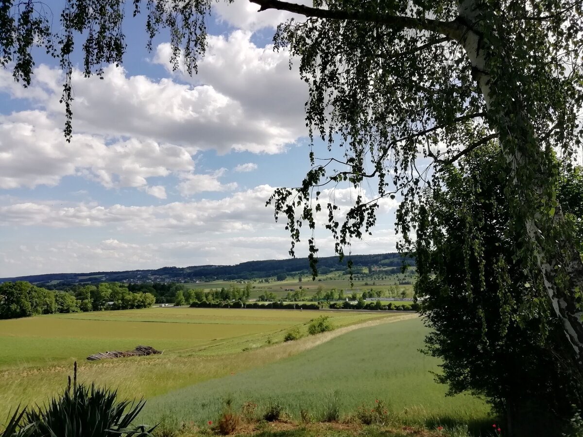
Aussicht über Bad Waltersdorf | © Thermen- & Vulkanland | Infobüro Bad Waltersdorf
1/4
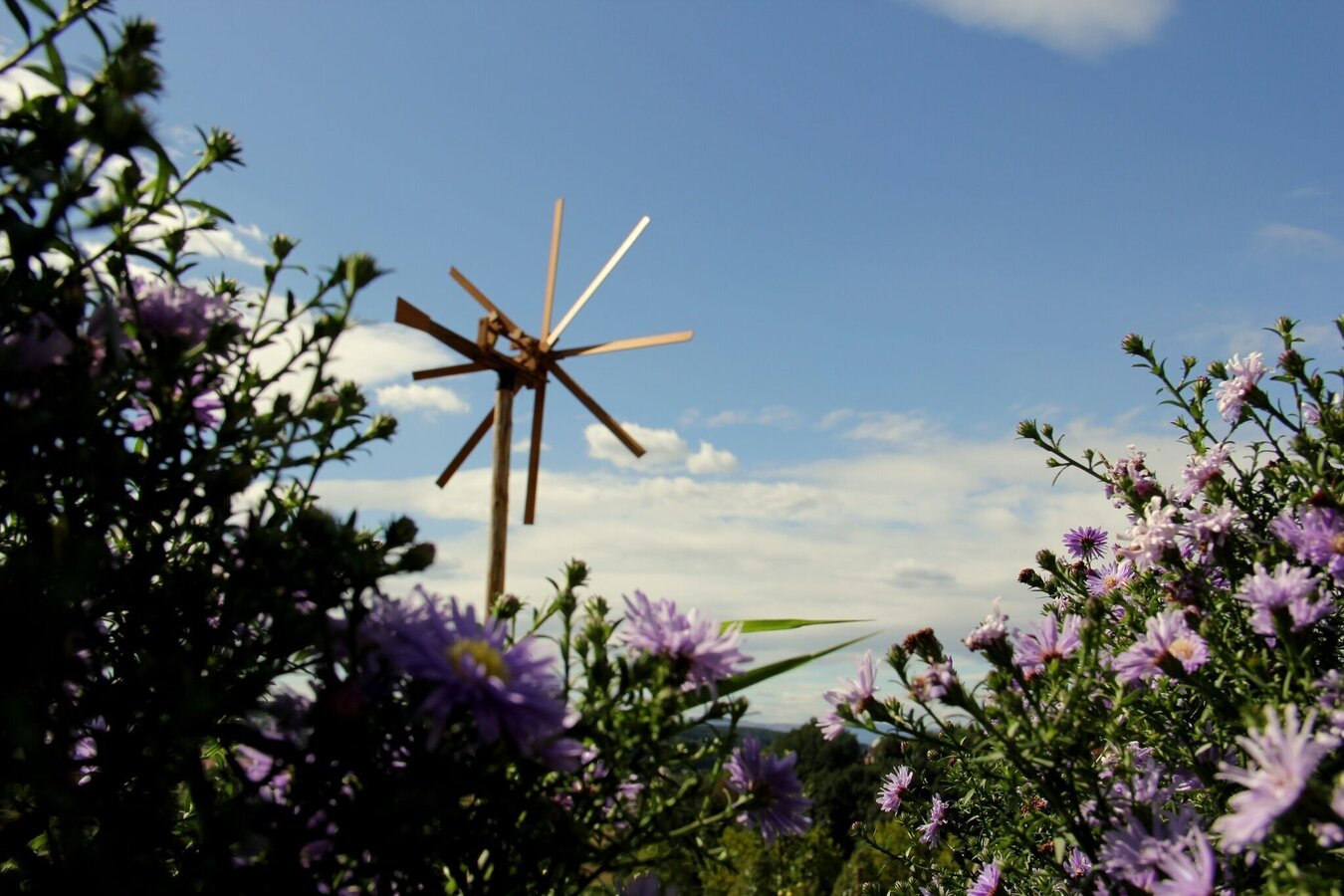
Klapotez | © Thermen- & Vulkanland | Riedenbauer Karin
2/4
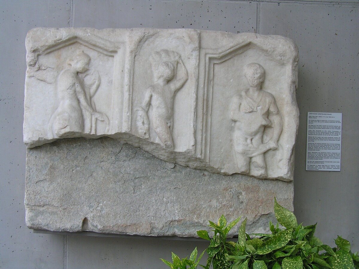
Römerzeitliches Museum | © Thermen- & Vulkanland | Bernhard Bergmann
3/4
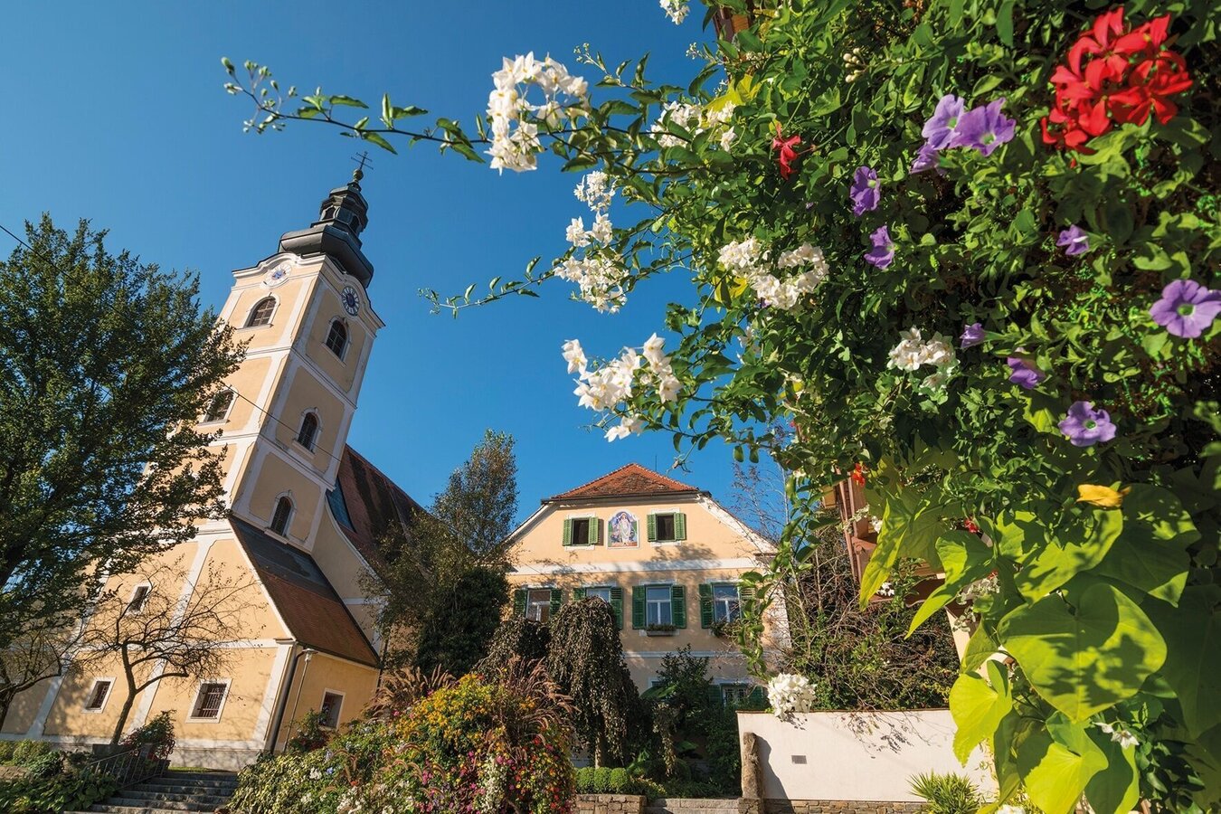
Pfarrkirche Bad Waltersdorf | © Thermen- & Vulkanland | Bernhard Bergmann
4/4

What the weather will be like Bad Waltersdorf (291m)
Today, 07.10.2026
Dry and sunny throughout the day with hardly any clouds.Morning

9°C
sr.Regenwahrscheinlichkeit
0%
sr.Windstärke
0 km/h
Noon
22°C
sr.Regenwahrscheinlichkeit
0%
sr.Windstärke
10 km/h
Night
16°C
sr.Regenwahrscheinlichkeit
0%
sr.Windstärke
5 km/h
Tomorrow, 08.10.2026
Sunny and cloudy periods will alternate throughout the day.Morning

12°C
sr.Regenwahrscheinlichkeit
35%
sr.Windstärke
5 km/h
Noon
22°C
sr.Regenwahrscheinlichkeit
35%
sr.Windstärke
10 km/h
Night
16°C
sr.Regenwahrscheinlichkeit
30%
sr.Windstärke
5 km/h
Forecast
09.10.2026

8°C
18°C
10.10.2026
7°C
16°C
11.10.2026

8°C
17°C
