


Crisscross path (Kreuz & Querpfad) - Short Variant / Trail 9
Accessible by public transport- Public bus (within 15 minutes walking distance from starting point)
Characteristics
SkillThe tour in numbers
Level of difficulty
medium
Route
14,1 km
Time
3:45 h
Uphill
240 hm
Downhill
240 hm
Highest point
365 m
This short variant of the 2 different route lengths is ideal for those who want to experience and learn about the history and stories of the region in a "short way".
The wayside crosses, shrines and chapels line this scenic path. Between vineyards you have time to enjoy the most beautiful view over the district of Stein on a suspended lounger.
Best season
January
February
March
April
May
June
July
August
September
October
November
December
More information
From Vienna & Lower Austria
By car: South freeway (A2) to exit Riegersdorf, from here via the S7 in direction Budapest to exit Fürstenfeld, via Fürstenfels bypass to Bad Loipersdorf.
From Graz
By car: on the A2 motorway in the direction of Vienna as far as the Riegersdorf exit, from here via the S7 in the direction of Budapest to the exit Fürstenfeld. From here via Fürstenfeld bypass to Bad Loipersdorf.
From Western Austria and Bavaria
By car: via Salzburg on the Phyrn freeway (A9) and the Süd freeway (A2) or via Carinthia on the Süd freeway (A2) to the Riegersdorf exit, from here via the S7 in the direction of Budapest to the exit Fürstenfeld. From here via Fürstenfeld bypass to Bad Loipersdorf.
From Italy or Slovenia
By car: via Villach on the southern freeway (A2) to the Riegersdorf exit or via Maribor on the Phyrn freeway (A9) and the southern freeway (A2) in the direction of Vienna to the Riegersdorf exit. From here via the S7 in the direction of Budapest to the exit Fürstenfeld. From here via Fürstenfeld bypass to Bad Loipersdorf.
Detailed information on how to get there can be found here.
Parking lot in front of the spa resort Loipersdorf
By car: South freeway (A2) to exit Riegersdorf, from here via the S7 in direction Budapest to exit Fürstenfeld, via Fürstenfels bypass to Bad Loipersdorf.
From Graz
By car: on the A2 motorway in the direction of Vienna as far as the Riegersdorf exit, from here via the S7 in the direction of Budapest to the exit Fürstenfeld. From here via Fürstenfeld bypass to Bad Loipersdorf.
From Western Austria and Bavaria
By car: via Salzburg on the Phyrn freeway (A9) and the Süd freeway (A2) or via Carinthia on the Süd freeway (A2) to the Riegersdorf exit, from here via the S7 in the direction of Budapest to the exit Fürstenfeld. From here via Fürstenfeld bypass to Bad Loipersdorf.
From Italy or Slovenia
By car: via Villach on the southern freeway (A2) to the Riegersdorf exit or via Maribor on the Phyrn freeway (A9) and the southern freeway (A2) in the direction of Vienna to the Riegersdorf exit. From here via the S7 in the direction of Budapest to the exit Fürstenfeld. From here via Fürstenfeld bypass to Bad Loipersdorf.
Detailed information on how to get there can be found here.
Parking lot in front of the spa resort Loipersdorf
Entrance vis á vis Hotel Stoiser into the forest. Initially forest path past the Leberkegeln (Roman tumuli from the 1st and 2nd century AD), then alternately over forest paths and hardly traveled municipal roads. The shorter route takes you along vineyards to the village of Stein and then rejoins the longer route in Kleinsteinberg. The longer route leads in ridge position finally to the Kögelberg (with 405 m highest point of the former district Fürstenfeld). Both routes take you from the Oberberg down to the village of Bad Loipersdorf. Then continue in the direction of Rehgraben and via the forest path back to the spa. An experience!
Ambulance: 144
European emergency call: 112
Firefighters: 122
Police: 133
Tips when reporting an emergency – Answer these six WH questions: What happened? How many people are injured? Where did the accident happen (are there GPS coordinates)? Who is reporting the incident (callback number)? When did the accident happen? What is the weather like at the site of the incident?
- Proper backpack packing makes many things easier: Pack heavy things first.
- The water bottle should always be within reach in a side pocket.
- All the things that are often needed, such as sunglasses, camera or hiking map, belong on top.
- An emergency kit, including blister plasters, belongs in every rucksack and it is always advisable to dress in layers.
In addition to the interesting crossroads descriptions, the tour is also very scenic. For a long time, the route takes you along a ridge with beautiful views of the rolling hills of the thermal region.
Detailed information about arriving by ÖBB (Austrian Federal Railways) can be found at www.oebb.at or on the Verbundlinie Steiermark website www.busbahnbim.at
With Verbundlinie’s BusBahnBim route planner app, planning your journey has never been easier: simply enter towns and/or addresses, stop names or points of interest to check all bus, train and tram connections in Austria. The app is available free of charge for smartphones – on Google Play and in the App Store
You can get a hiking map at:
Tourist office Thermen- & Vulkanland
Guest information Bad Loipersdorf
Thermenstraße 152
8282 Bad Loipersdorf
Phone: +43 3382 55 100-82
badloipersdorf@thermen-vulkanland.at
www.thermen-vulkanland.at
Tourist office Thermen- & Vulkanland
Guest information Bad Loipersdorf
Thermenstraße 152
8282 Bad Loipersdorf
Phone: +43 3382 55 100-82
badloipersdorf@thermen-vulkanland.at
www.thermen-vulkanland.at
Map & downloads
Gallery
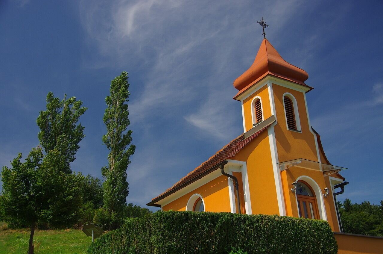
Rehgrabenkapelle | © Thermen- & Vulkanland | Jörg Liemandt
1/12
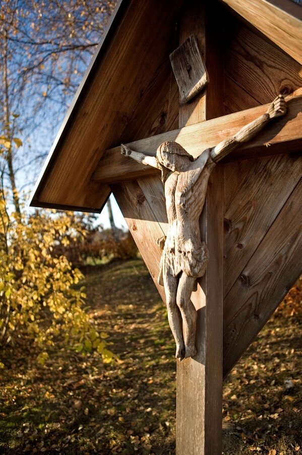
Begegnung mit Geschichten | © Thermen- & Vulkanland | Hans Gollowitsch
2/12
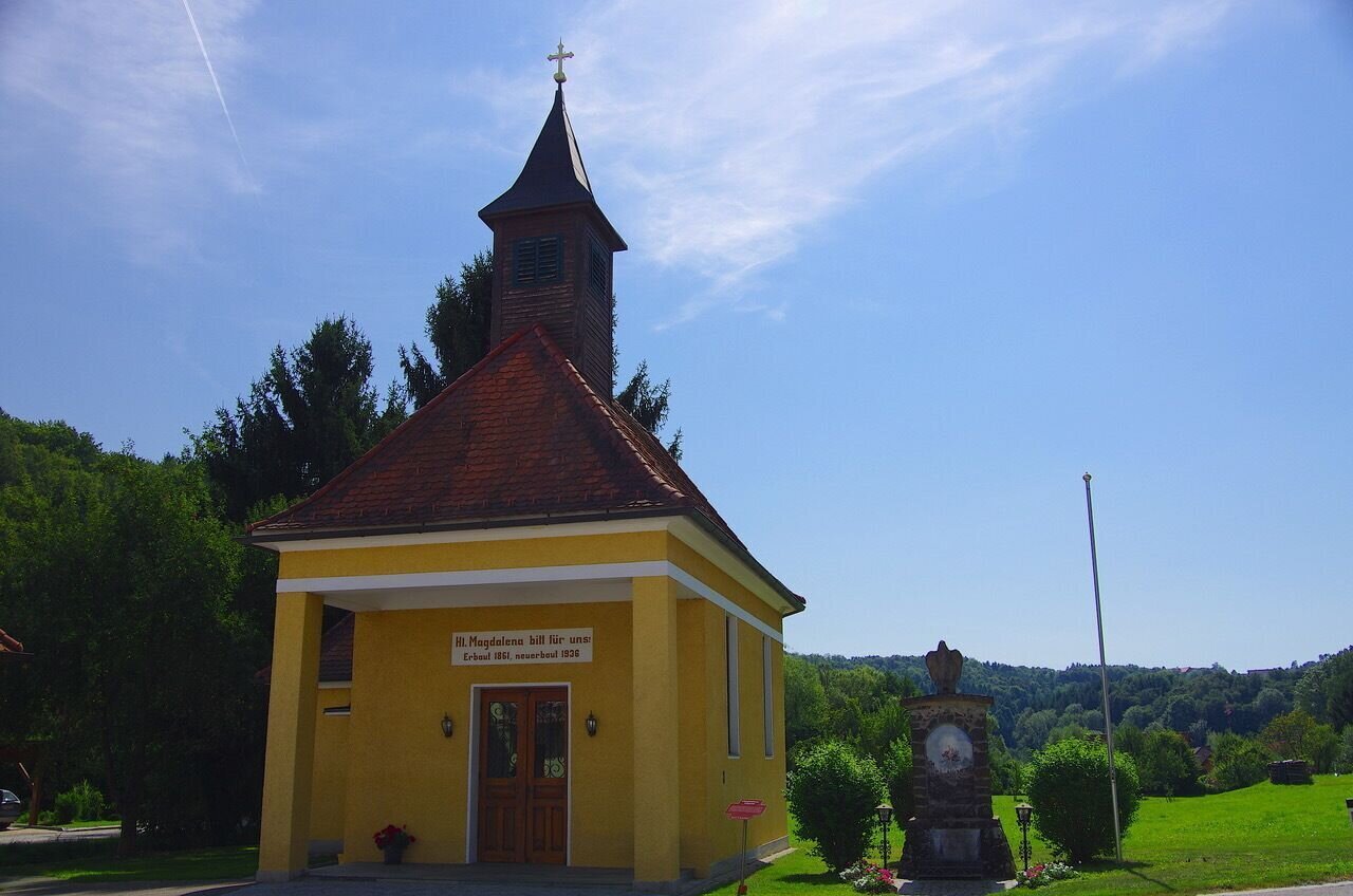
Magdalenakapelle in Stein | © Thermen- & Vulkanland | Jörg Liemandt
3/12

kreuz & querpfad - kurze variante / weg 9_img_28884382 | © Thermen- & Vulkanland | Jörg Liemandt
4/12
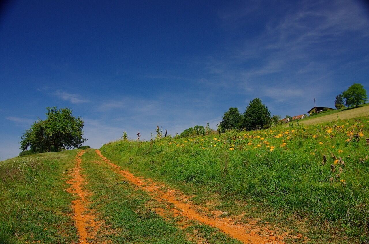
kreuz & querpfad - kurze variante / weg 9_img_28884383 | © Thermen- & Vulkanland | Jörg Liemandt
5/12
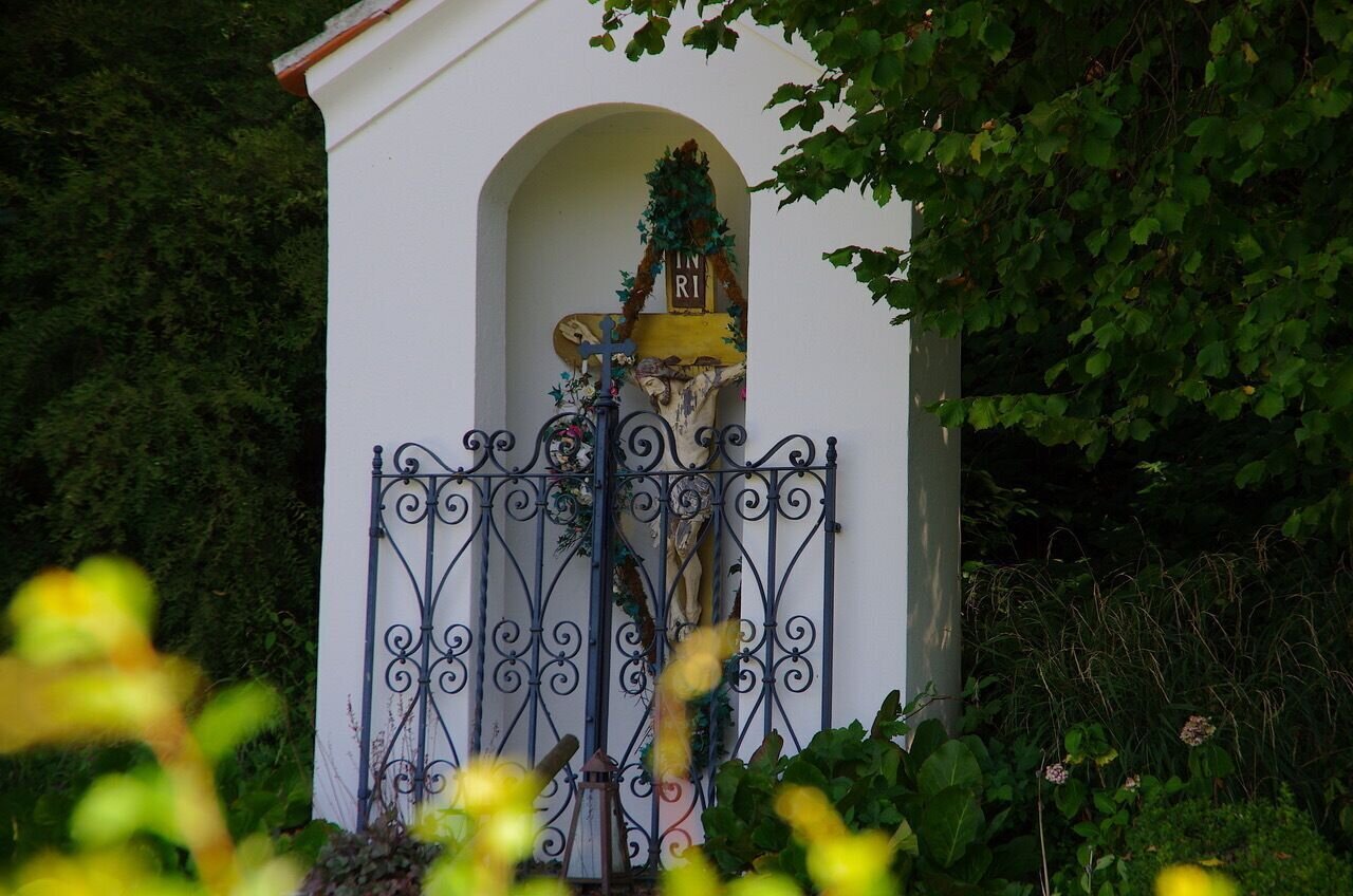
kreuz & querpfad - kurze variante / weg 9_img_28884384 | © Thermen- & Vulkanland | Jörg Liemandt
6/12
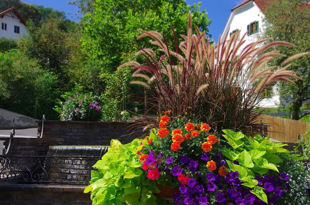
Prämierter Blumenschmuck in Bad Loipersdorf | © Thermen- & Vulkanland | Jörg Liemandt
7/12
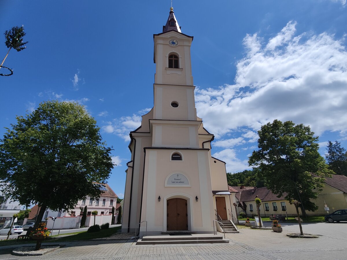
pfarrkirche_3_c_sabine_649232844.jpg | © Thermen- & Vulkanland | Sabine Hofer
8/12

Zahlreiche Kreuze säumen den Weg | © Thermen- & Vulkanland | Jörg Liemandt
9/12
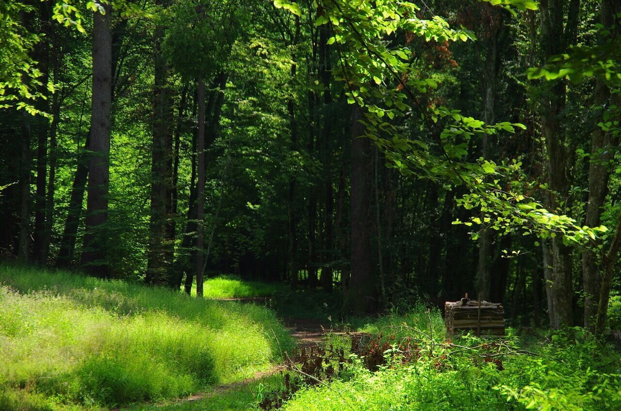
kreuz & querpfad - kurze variante / weg 9_img_28884390 | © Thermen- & Vulkanland | Jörg Liemandt
10/12
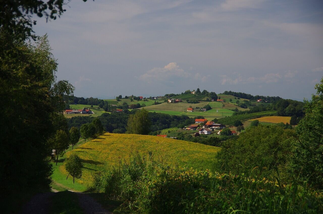
Blick auf den Kögelberg | © Thermen- & Vulkanland | Jörg Liemandt
11/12
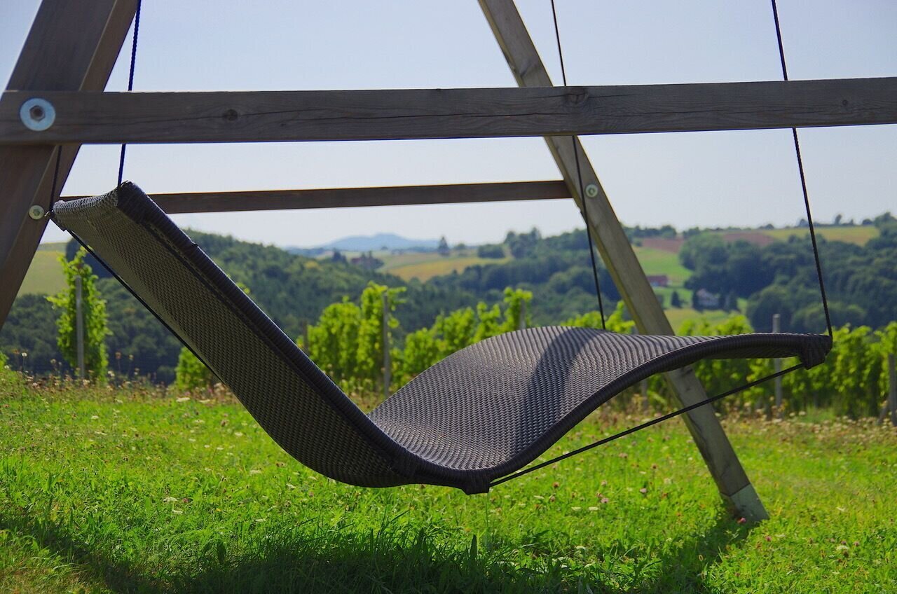
Schwebeliege zum Seele baumeln lassen | © Thermen- & Vulkanland | Jörg Liemandt
12/12

What the weather will be like Loipersdorf bei Fürstenfeld (246m)
Today, 01.10.2026
Dry and sunny throughout the day with hardly any clouds.Morning

9°C
sr.Regenwahrscheinlichkeit
0%
sr.Windstärke
5 km/h
Noon
23°C
sr.Regenwahrscheinlichkeit
0%
sr.Windstärke
10 km/h
Night
14°C
sr.Regenwahrscheinlichkeit
0%
sr.Windstärke
0 km/h
Tomorrow, 02.10.2026
Dry and partly sunny throughout the day, with cloudy periods from time to time.Morning

7°C
sr.Regenwahrscheinlichkeit
0%
sr.Windstärke
0 km/h
Noon
21°C
sr.Regenwahrscheinlichkeit
0%
sr.Windstärke
5 km/h
Night
12°C
sr.Regenwahrscheinlichkeit
0%
sr.Windstärke
0 km/h
Forecast
03.10.2026
4°C
23°C
04.10.2026
4°C
23°C
05.10.2026
7°C
23°C
