


Open
Celtic tree trail (Keltischer-Baumkreis-Weg)
Accessible by public transport- Train (within 15 minutes walking distance from starting point)
- Public bus (within 15 minutes walking distance from starting point)
Characteristics
FitnessThe tour in numbers
Level of difficulty
medium
Route
12,8 km
Time
3:15 h
Uphill
220 hm
Downhill
220 hm
Highest point
400 m
Walk in the footsteps of the Celts in Bad Waltersdorf and gain an insight into the different characters of the trees.
The Celts were a very nature-loving people. They lived with nature without exploiting it and tried to learn from it. They recognized different characters in the trees. So they also divided the different seasons into tree seasons. Whole days were assigned thus to a completely certain tree. People who are now born under the sign of this tree resemble their birth tree in character. Trees live. They are - like all of us - creatures of nature.
The starting point of the hiking tour is the information office in the center of Bad Waltersdorf. The hiking tour leads along various trees, past traditional wine taverns and inns and the spa Resort Bad Waltersdorf.
Best season
January
February
March
April
May
June
July
August
September
October
November
December
More information
Detailed information on how to get there can be found here.
There are numerous parking spaces available throughout the center of Bad Waltersdorf.
There are numerous parking spaces available throughout the center of Bad Waltersdorf.
The tour starts at the information office in the center of Bad Waltersdorf. Cross the main intersection - then turn right along Schulstraße past the outdoor pool. Then continue straight ahead across the railroad crossing to the Heiltherme spa. On the way to the Heiltherme you pass numerous beautiful orchards. At the Heiltherme the tour joins the so-called Thermenstraße and leads up to the Wagerberg.
Only shortly after - approx. 100 m it goes right into the view tip: a short detour is worthwhile, because with the property of the Maluhof one has a marvelous view of the 2-Thermenregion Bad Waltersdorf.
After a short rest, return to the thermal road to the village pond of Wagerberg. Continue to Unterlimbach along a flat forest path. Arrived at the municipal office in Unterlimbach, turn right to the center of the village. There you go slightly downhill to a bridge. Crossing the bridge and turning left, you follow an asphalt path. To follow the edge of the forest to Oberlimbach, turn left and then right. Now you go slightly uphill to Wagerberg. In Wagerberg you cross a crossroads and enjoy the view over the 2-Thermenregion before you go downhill back to Bad Waltersdorf.
- Direction main crossing
- First over bridge and then right
- Cross the railroad-straight ahead to the Heiltherme and up the hill to Wagerberg
- cross the crossing past the village pond-along the flat gravelled forest path to Unterlimbach
- turn right at the pond
- turn left in the center of the village
- slightly downhill, over the bridge and then left into the forest
- follow the asphalted forest road, turn left at the next junction, then immediately right
- continue along the edge of the forest to Oberlimbach
- in the center of the village (crossroads) turn right to Wagerberg
- cross the crossroads in Wagerberg
- downhill back to Bad Waltersdorf to the information office
- Ambulance: 144
- European emergency call: 112
Tips when reporting an emergency – Answer these six WH questions: What happened? How many people are injured? Where did the accident happen (are there GPS coordinates)? Who is reporting the incident (callback number)? When did the accident happen? What is the weather like at the site of the incident?
Proper backpack packing makes many things easier: Pack heavy things first. The water bottle should always be within reach in a side pocket. All the things that are often needed, such as sunglasses, camera or hiking map, belong on top. An emergency kit, including blister plasters, belongs in every rucksack and it is always advisable to dress in layers.
- GenussCard
- Pick up info brochure about the Celtic Tree Circle Trail at the info office Bad Waltersdorf
Detailed information about arriving by ÖBB (Austrian Federal Railways) can be found at www.oebb.at or on the Verbundlinie Steiermark website www.busbahnbim.at.
With Verbundlinie’s BusBahnBim route planner app, planning your journey has never been easier: simply enter towns and/or addresses, stop names or points of interest to check all bus, train and tram connections in Austria. The app is available free of charge for smartphones – on Google Play and in the App Store
Tourismusverband Thermen- & Vulkanland
Tourist Office Bad Waltersdorf
Hauptplatz 90
8271 Bad Waltersdorf
Tel: +43 3382 55 100-71
badwaltersdorf@thermen-vulkanland.at
www.thermen-vulkanland.at
Tourist Office Bad Waltersdorf
Hauptplatz 90
8271 Bad Waltersdorf
Tel: +43 3382 55 100-71
badwaltersdorf@thermen-vulkanland.at
www.thermen-vulkanland.at
For hiking enthusiasts, the long-distance hiking trail "From Glacier to Wine" is a must. This hiking trail can be completed in stages and makes the heart of all nature lovers beat faster.
Books about the history of the Celts and Romans are available for purchase at the Infobüro! Various hiking maps can also be found in the information office Bad Waltersdorf.Map & downloads
Gallery
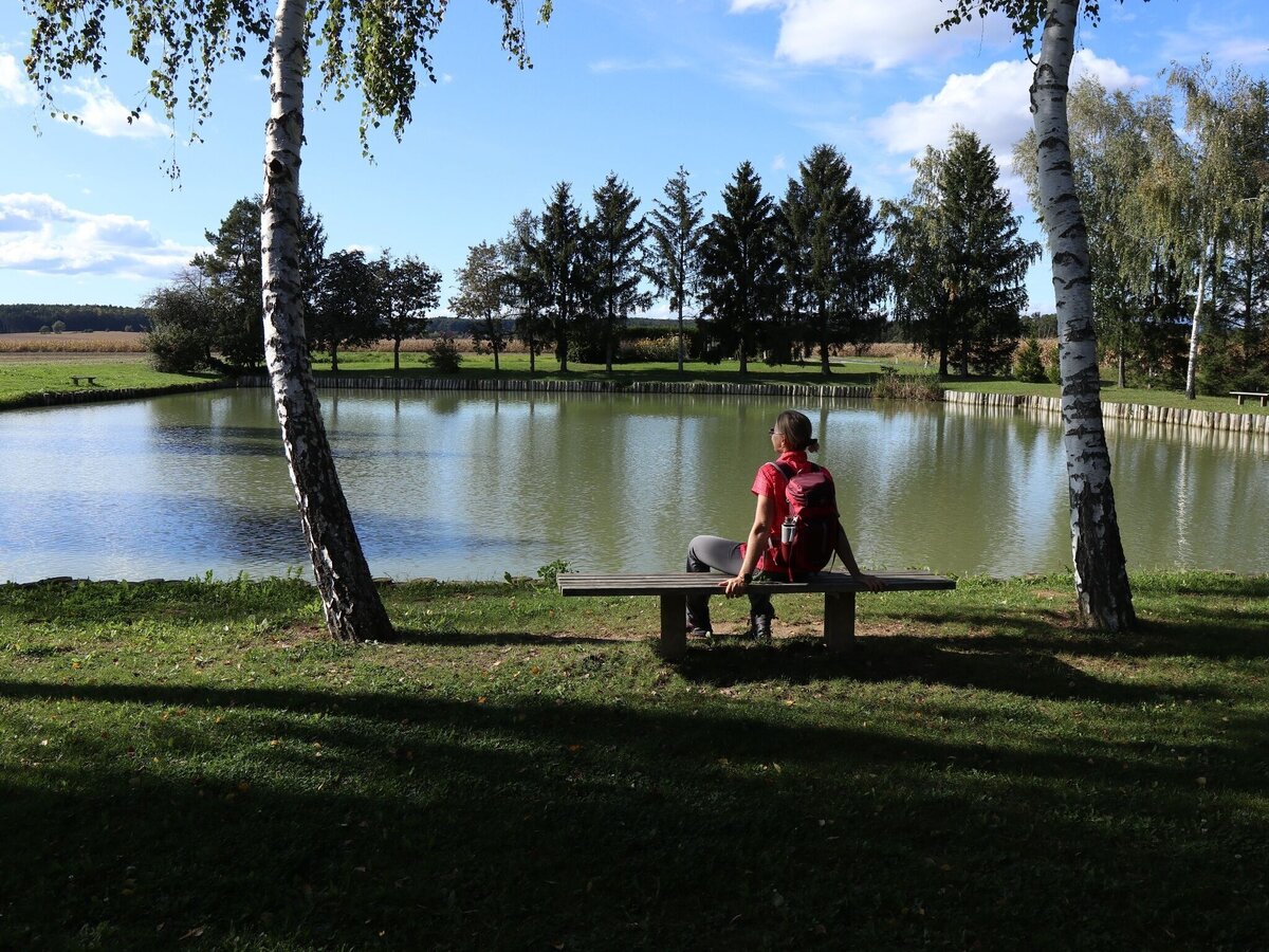
Idyllische Lage zum Verweilen | © Thermen- & Vulkanland | WEGES OG
1/15
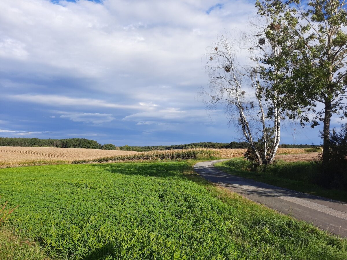
Landschaft | © Thermen- & Vulkanland | Weges
2/15
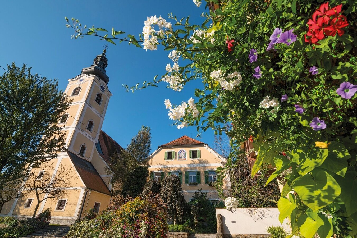
Pfarrkirche Bad Waltersdorf | © Thermen- & Vulkanland | Bernhard Bergmann
3/15
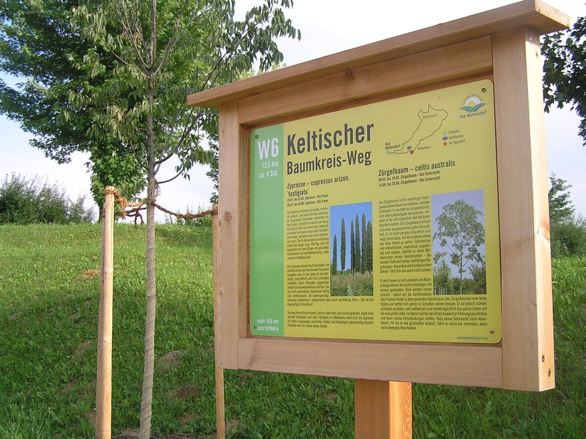
Infotafel über den Keltischen Baumkreis-Weg | © Thermen- & Vulkanland | Infobüro Bad Waltersdorf
4/15
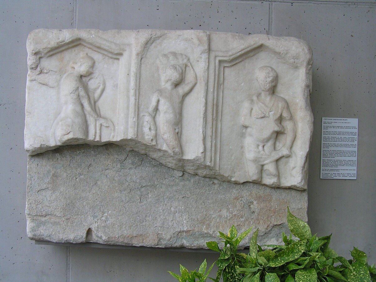
Römerzeitliches Museum | © Thermen- & Vulkanland | Bernhard Bergmann
5/15
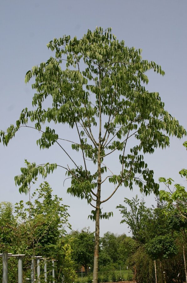
w6 keltischer-baumkreis-weg_img_57871931 | © Thermen- & Vulkanland | Infobüro Bad Waltersdorf
6/15
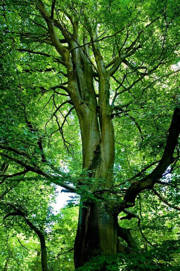
Buche | © Thermen- & Vulkanland | Infobüro Bad Waltersdorf
7/15

Tanne | © Thermen- & Vulkanland | Infobüro Bad Waltersdorf
8/15
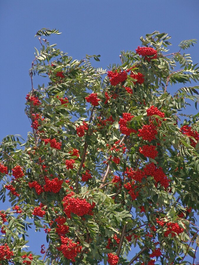
Ebersche | © Thermen- & Vulkanland | Infobüro Bad Waltersdorf
9/15
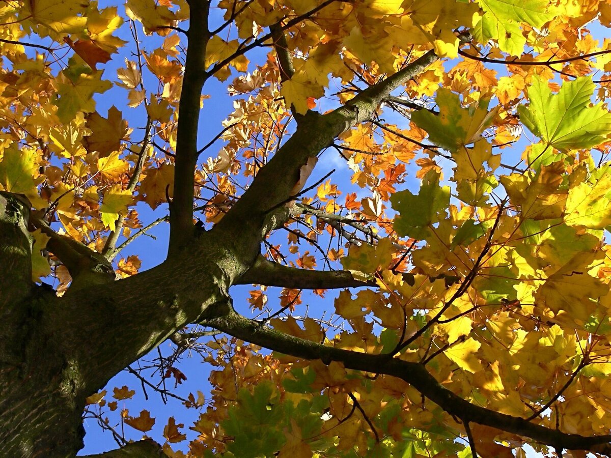
Ahorn | © Thermen- & Vulkanland | Infobüro Bad Waltersdorf
10/15
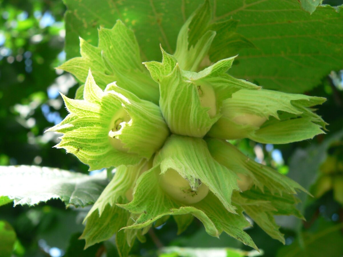
Haselstraucg | © Thermen- & Vulkanland | Infobüro Bad Waltersdorf
11/15
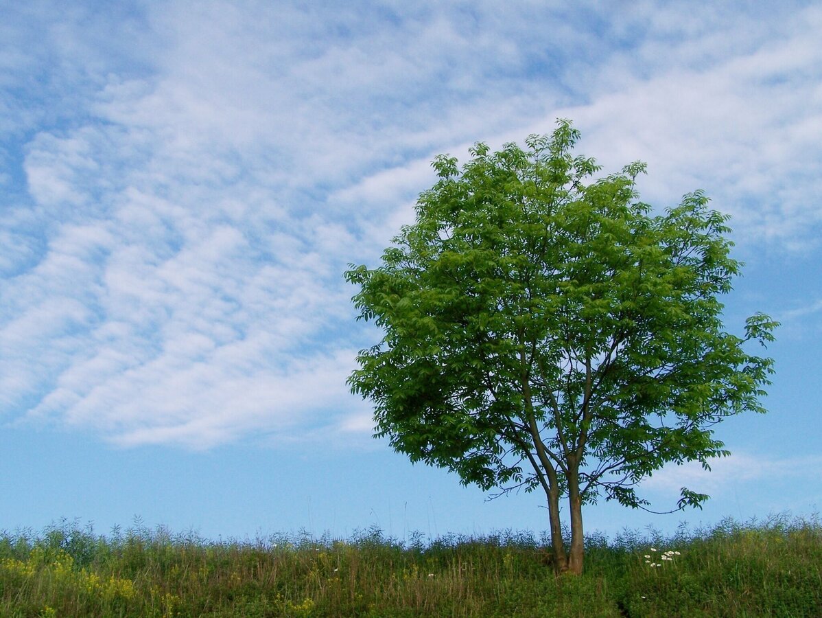
Esche | © Thermen- & Vulkanland | Infobüro Bad Waltersdorf
12/15
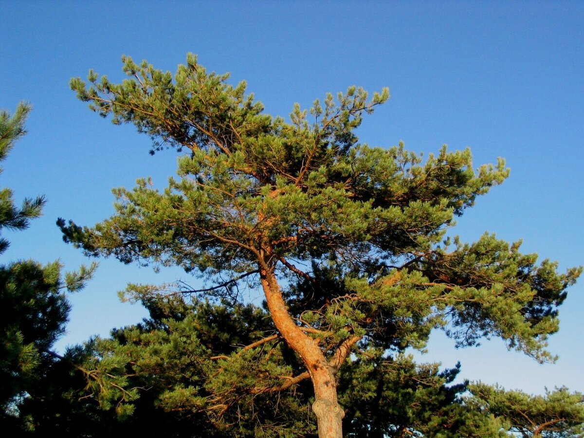
Kiefer | © Thermen- & Vulkanland | Infobüro Bad Waltersdorf
13/15
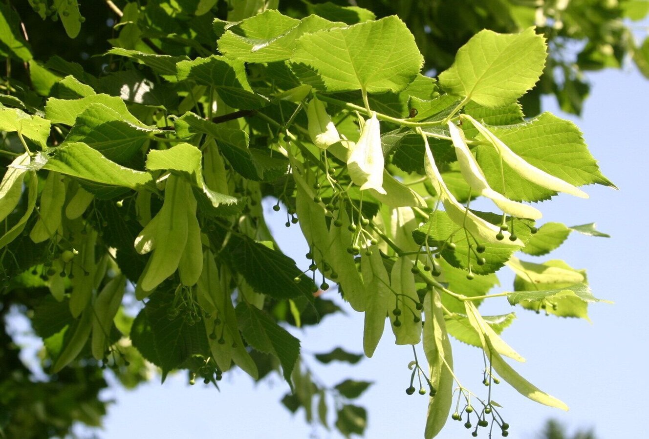
Linde | © Thermen- & Vulkanland | Infobüro Bad Waltersdorf
14/15
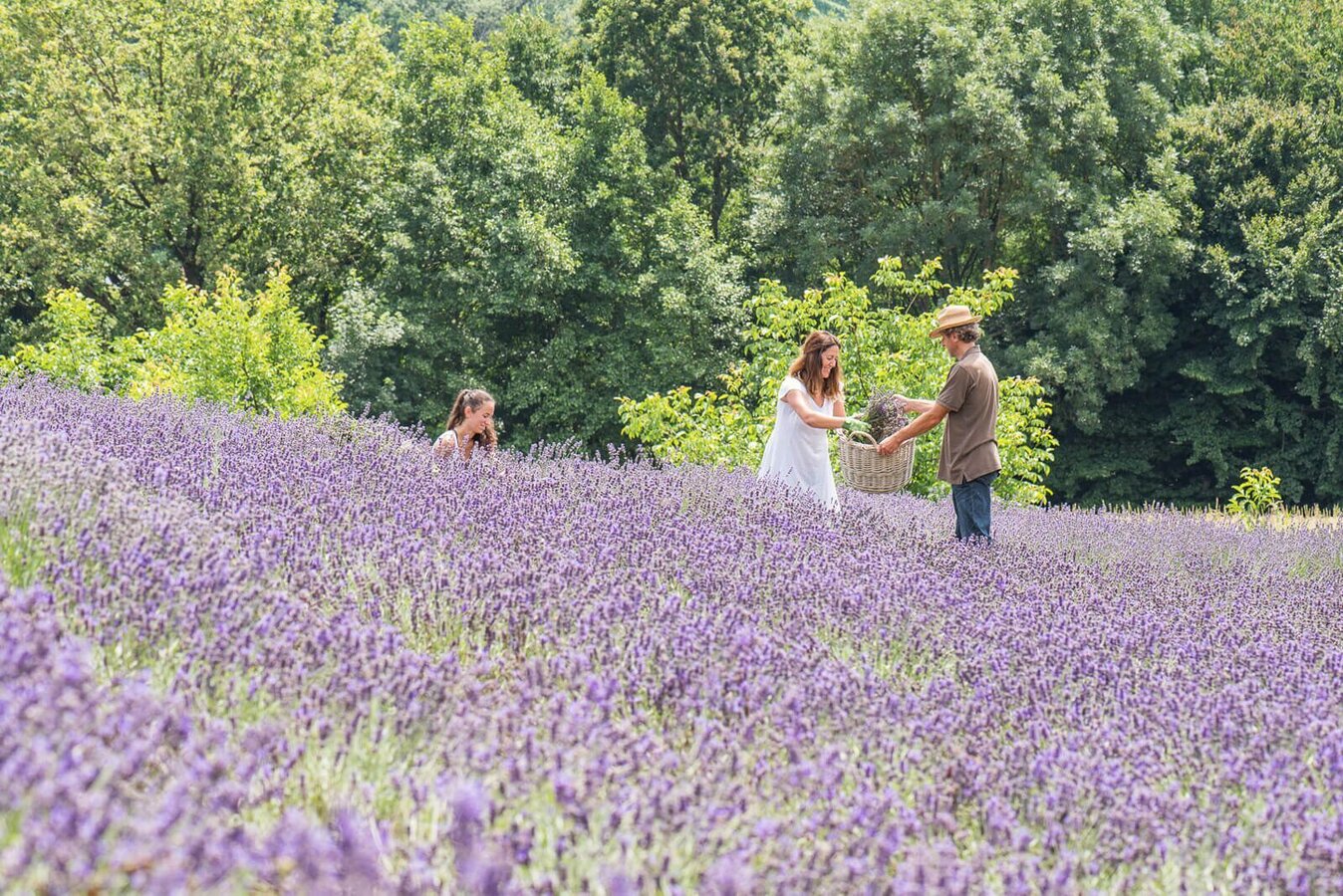
Lavendelgut Bad Waltersdorf | © Bad Waltersdorf | Helmut Schweighofer
15/15

What the weather will be like Bad Waltersdorf (291m)
Today, 07.10.2026
Dry and sunny throughout the day with hardly any clouds.Morning

9°C
sr.Regenwahrscheinlichkeit
0%
sr.Windstärke
0 km/h
Noon
22°C
sr.Regenwahrscheinlichkeit
0%
sr.Windstärke
10 km/h
Night
16°C
sr.Regenwahrscheinlichkeit
0%
sr.Windstärke
5 km/h
Tomorrow, 08.10.2026
Sunny and cloudy periods will alternate throughout the day.Morning

12°C
sr.Regenwahrscheinlichkeit
35%
sr.Windstärke
5 km/h
Noon
22°C
sr.Regenwahrscheinlichkeit
35%
sr.Windstärke
10 km/h
Night
16°C
sr.Regenwahrscheinlichkeit
30%
sr.Windstärke
5 km/h
Forecast
09.10.2026

8°C
18°C
10.10.2026
7°C
16°C
11.10.2026

8°C
17°C
