


Augustiner circular route (Augustiner-Rundweg)
Accessible by public transport- Public bus (within 15 minutes walking distance from starting point)
Characteristics
FitnessThe tour in numbers
Level of difficulty
medium
Route
5,3 km
Time
1:30 h
Uphill
60 hm
Downhill
60 hm
Highest point
334 m
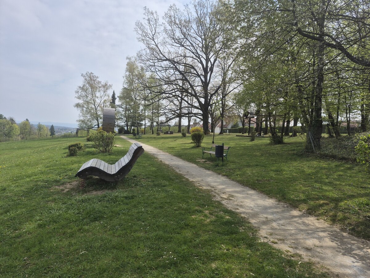
The Augustinian circular route through meadow fields, long forests, past Welsdorf Castle to the lookout point.
Unspoilt meadows and dreamy forest paths provide peace and quiet. A gravel path leads to Welsdorf Castle.
Best season
January
February
March
April
May
June
July
August
September
October
November
December
More information
Detailed information on how to get there can be found here.
Packing your rucksack correctly makes many things easier: pack heavy items first. Your water bottle should always be easily accessible in a side pocket. Everything you need frequently, such as sunglasses, a camera or a hiking map, should be packed on top. Every rucksack should contain emergency equipment, including blister plasters, and it is always advisable to dress in layers!
Emergency rescue number: 144
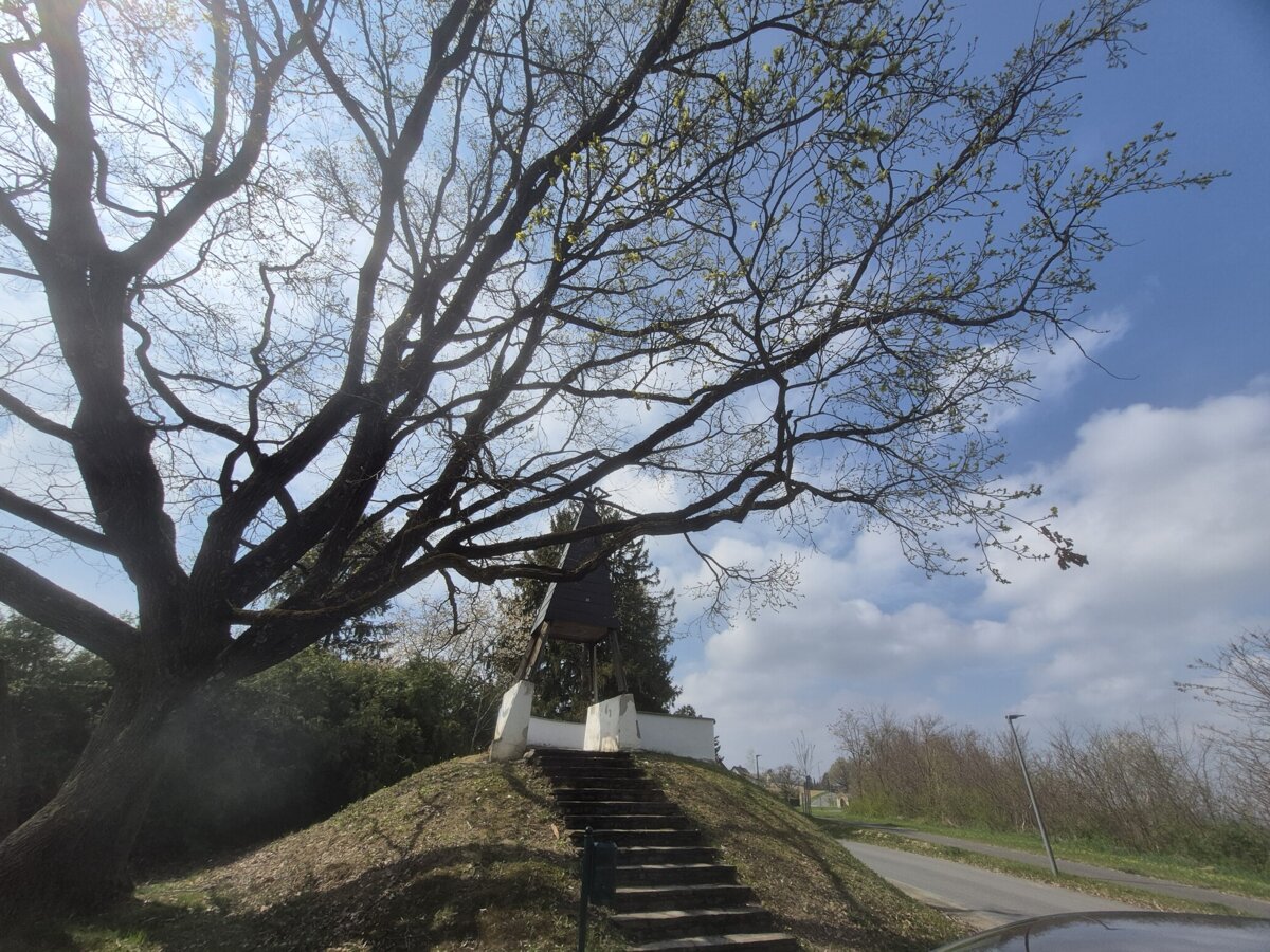
The ‘Schwammerl’ is known as Fürstenfeld's viewing platform. It is located at the highest point in Fürstenfeld.
Timetables and travel information can be found directly at: Austrian Federal Railways (ÖBB), Steiermärkische Landesbahnen (STLB), www.busbahnbim.at.
With the BusBahnBim app from Verbundlinie, timetable information has never been easier: all bus, train and streetcar connections in Austria can be queried by entering locations and/or addresses, stops or important points. The app is available as a free app for smartphones (Android, iOS) - on Google Play and in the App Store.
The Thermenlandbus also takes you directly to Fürstenfeld on the fastest route.
Tourist Office Thermen- & Vulkanland
Gästeinformation Fürstenfeld
Hautpstraße 2a
8280 Fürstenfeld
Tel.: +43 3382 55100-81
fuerstenfeld@thermen-vulkanland.at
www.thermen-vulkanland.at
Map & downloads
Gallery
20260411_140927.jpg | © Petra Stossier | Petra Stossier
1/9
20260411_140531.jpg | © Petra Stossier | Petra Stossier
2/9
schubertpark_drei_kreuzepetra_stossier.jpg | © Petra Stossier | Petra Stossier
3/9
20260411_140554.jpg | © Petra Stossier | Petra Stossier
4/9
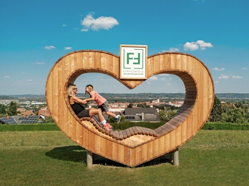
ChristophTlapak2.jpg | Christoph Tlapak
5/9
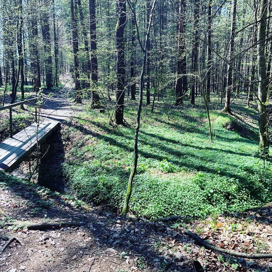
Augustiner-Rundweg | © Thermen- & Vulkanland | Barbara Wagner
6/9
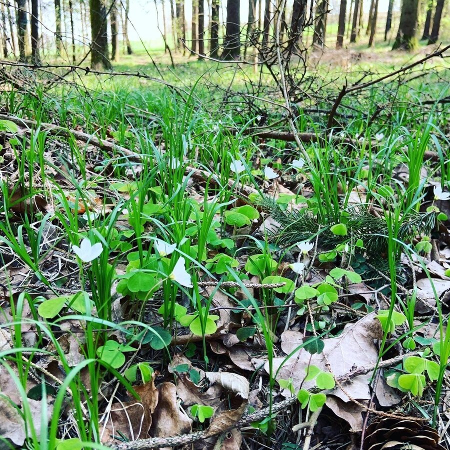
augustiner-rundweg_img_50158687 | © Thermen- & Vulkanland | Barbara Wagner
7/9
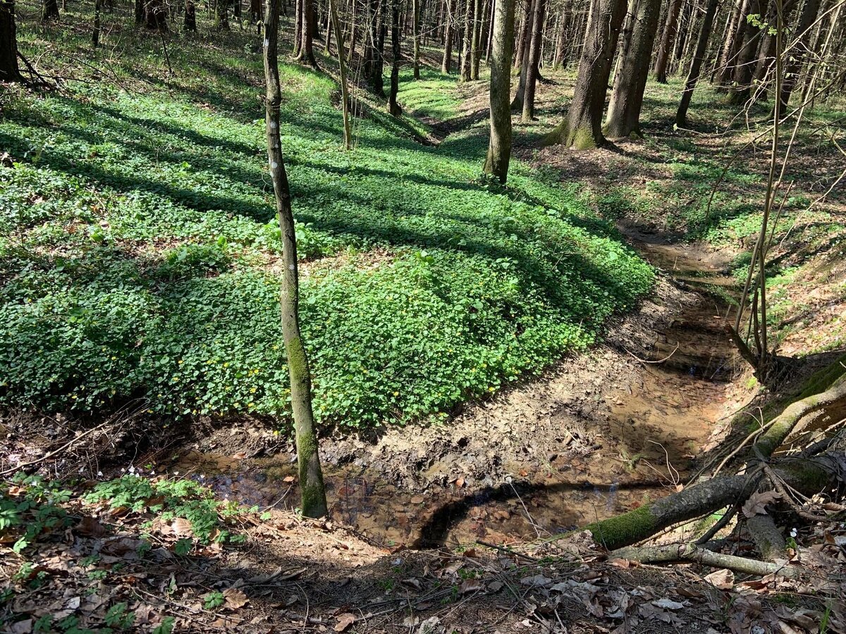
augustiner-rundweg_img_50158688 | © Thermen- & Vulkanland | Barbara Wagner
8/9
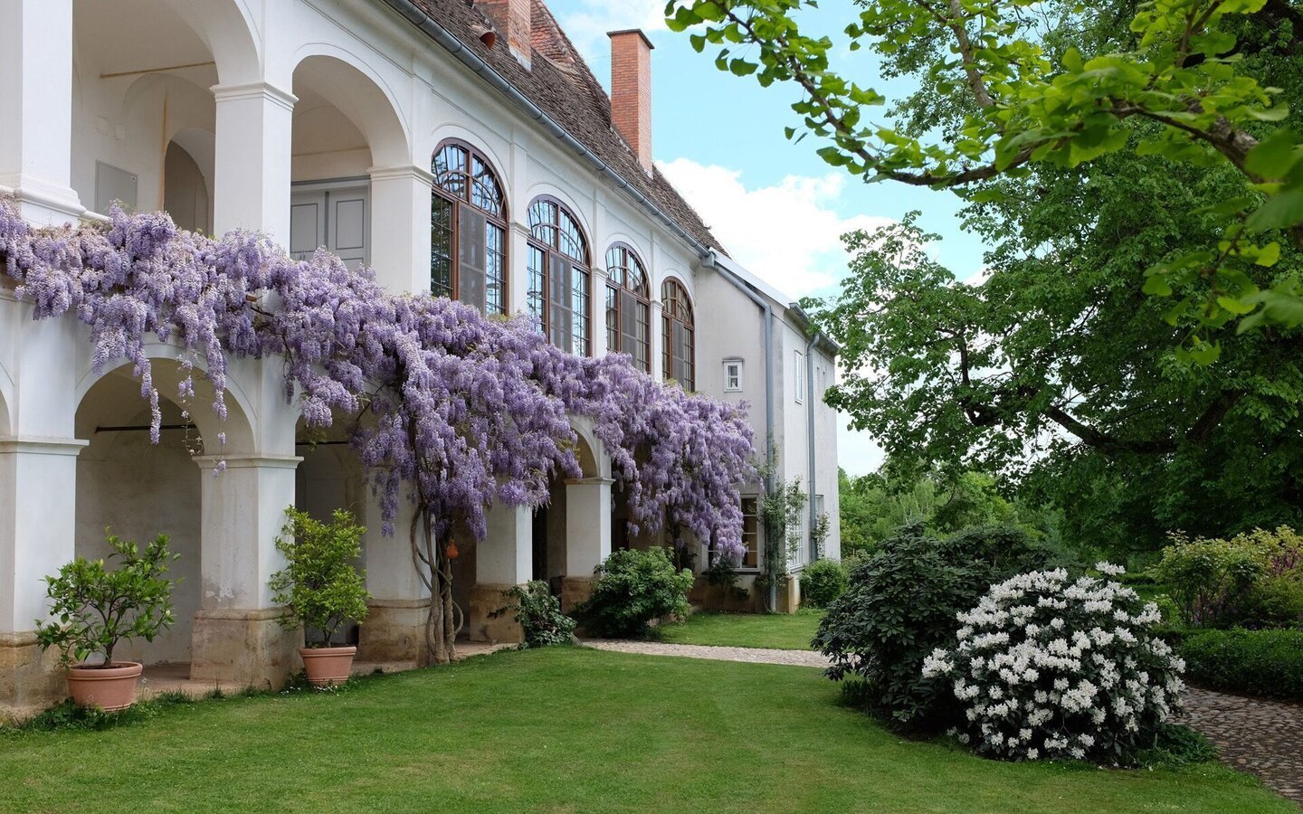
Schloss Welsdorf | © Thermen- & Vulkanland | Schloss Welsdorf
9/9

What the weather will be like Fürstenfeld (277m)
Today, 18.10.2026
Dry and partly sunny throughout the day, with cloudy periods from time to time.Morning

6°C
sr.Regenwahrscheinlichkeit
0%
sr.Windstärke
0 km/h
Noon
18°C
sr.Regenwahrscheinlichkeit
0%
sr.Windstärke
5 km/h
Night
11°C
sr.Regenwahrscheinlichkeit
0%
sr.Windstärke
0 km/h
Tomorrow, 19.10.2026
The day starts sunny, but will be partly cloudy in the afternoon.Morning

6°C
sr.Regenwahrscheinlichkeit
0%
sr.Windstärke
0 km/h
Noon
15°C
sr.Regenwahrscheinlichkeit
0%
sr.Windstärke
5 km/h
Night
10°C
sr.Regenwahrscheinlichkeit
0%
sr.Windstärke
0 km/h
Forecast
20.10.2026
6°C
15°C
21.10.2026

8°C
18°C
22.10.2026

8°C
14°C
