


alpannonia feeder Wenigzell – St. Jakob im Walde – Hochwechsel
Characteristics
SkillThe tour in numbers
Level of difficulty
challenging
Route
25,2 km
Time
8:00 h
Uphill
1257 hm
Downhill
348 hm
Highest point
1743 m
From the UNESCO World Heritage site of Semmering or the high-altitude health resort of Fischbach to the edge of the Pannonian plain near Köszeg, a path full of variety and attractions of nature leads: alpannonia®. Or you can start the alpannonia trail in the fairytale village of Wenigzell. From there, the "power trail" continues to the neighboring community of St. Jakob im Walde. Across the hilly landscape, the trail then continues to the Hochwechsel. From there you can then join the main alpannonia trail.
The "Kraftpfad" connects the two communities of Wenigzell and St. Jakob im Walde. Along the way, 15 stations tell you everything about the sources of power that make us who we are, and at the same time you walk through 15 billion years of evolutionary history. In St. Jakob im Walde there is the exhibition center Kräftereich and the blooming Europapark. Wenigzell is known for the Joglland Oasis and the 1st Barefoot Park in Austria. Both communities also belong to the Styrian Flower Road.
After reaching the community of St. Jakob im Walde, you hike around the 1111m high Arzberg and then reach the Rabl-Kreuz Hütte. Via the Kaltwiesenhütte or the Hochwechselstraße you reach the summit of the 1743m high Hochwechsel after about 2 1/2 more hours.
Best season
January
February
March
April
May
June
July
August
September
October
November
December
More information
Further information on arrival here.
Wenigzell, children's playground, old armory, in front of the school, village square (free)
Wenigzell, children's playground, old armory, in front of the school, village square (free)
- We start in Wenigzell
- From there we hike along the Kraftpfad to St. Jakob im Walde
- We still follow the path 914 until we pass the Bühlhofer cross
- Then we walk over the Blasenkogel and the Ochsenkopf to the Rabl-Kreuz hut
- Now we can either hike directly to the Hochwechsel, or make a short detour to the Kaltwiesen hut
Important telephone numbers:
European emergency call: 112Mountain rescue emergency call: 140 (if possible, please provide GPS data)
Rescue: 144
Fire department: 122
Police: 133
Correct behavior when hiking: Rules of conduct when hikingHere you will find the rules of conduct for "Safe handling of grazing livestock" and safety on the mountain.
A few tips on correct and fair behavior in the forest: (Source: www.bundesforste.at)
Hikers should avoid visiting the forest approx. 1.5 hours before sunrise and after sunset, as wild animals are particularly active at this time.
Plastic bottles, handkerchiefs, cigarette butts etc. have no place in the forest! Please make sure that you do not leave any garbage in the forest.
Camping and making fires is strictly forbidden in the forest!
In principle, every person in the forest is allowed to collect 2 kg of mushrooms and berries per day for their own use. It is only prohibited if the forest owner expressly forbids it.
Proper backpacking makes many things easier: pack heavy things first. The water bottle should always be within easy reach in a side pocket. All things that are often needed, such as sunglasses, camera or hiking map, belong on top.An emergency kit belongs in every backpack!
A clothing according to the "onion system" is always recommended!
A good hiking boot is a good companion and should never be missing on the mountain!
The hike along the Alpannonia feeder road from Wenigzell to the Hochwechsel is a true hike to recharge your batteries: First you hike from Wenigzell along the Kraftpfad to St. Jakob im Walde, there you can visit the Kräftereich exhibition and then you continue on to the Hochwechsel. The innkeepers in the villages also invite you to a little refreshment.
Timetables and travel information can be found at Österreichische Bundesbahnen (ÖBB) or at Verkehrsauskunft Verbundlinie.
For local transportation we recommend the SAM-Sammeltaxi Oststeiermark.
For local transportation we recommend the SAM-Sammeltaxi Oststeiermark.
Tourism Association East Styria
Office Joglland - Waldheimat
8255 St. Jakob im Walde, church quarter 24
Tel.: +43 3336 20255
joglland-waldheimat@oststeiermark.com
Office Joglland - Waldheimat
8255 St. Jakob im Walde, church quarter 24
Tel.: +43 3336 20255
joglland-waldheimat@oststeiermark.com
Map & downloads
Gallery
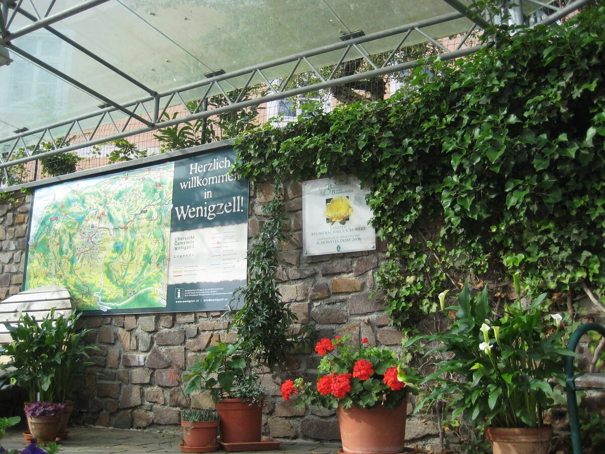
Information Wenigzell_Eastern Styria | © Gemeinde Wenigzell | Gemeinde Wenigzell
1/10
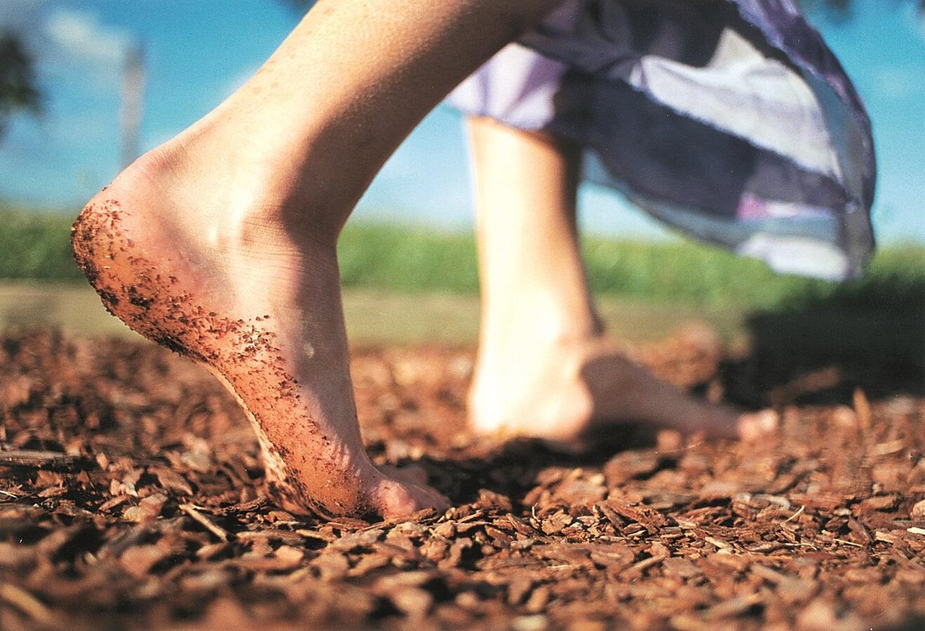
Barefoot Park Wenigzell_Station bark_Eastern Styria | © Barfußpark Wenigzell | Bernhard Bergmann
2/10
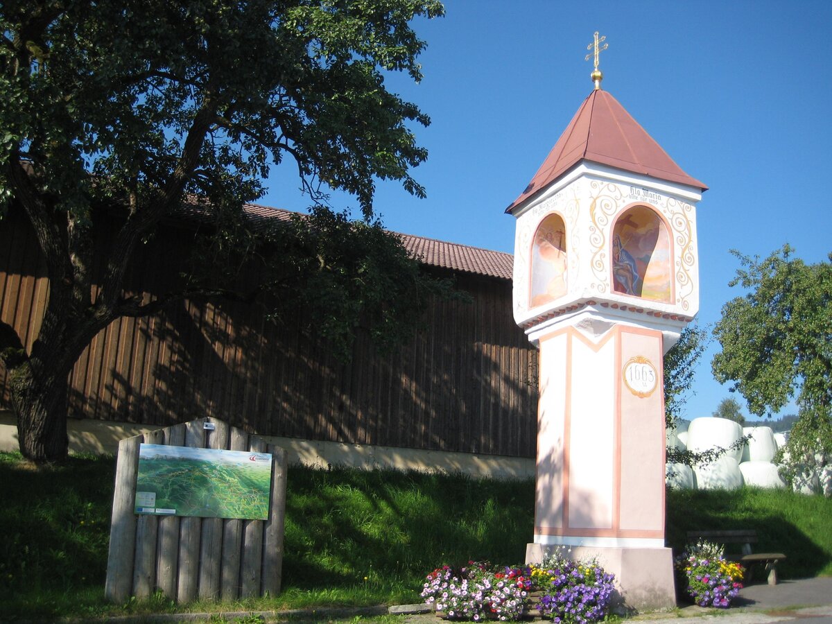
Marterl in Wenigzell_Eastern Styria | © Gemeinde Wenigzell | Gemeinde Wenigzell
3/10
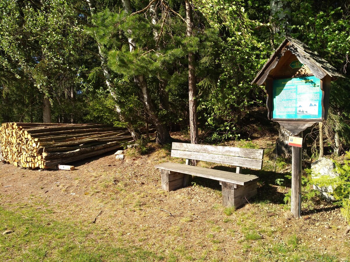
Power trail on the hiking trail_Wenigzell_Eastern Styria | © Gemeinde Wenigzell | Gemeinde Wenigzell
4/10
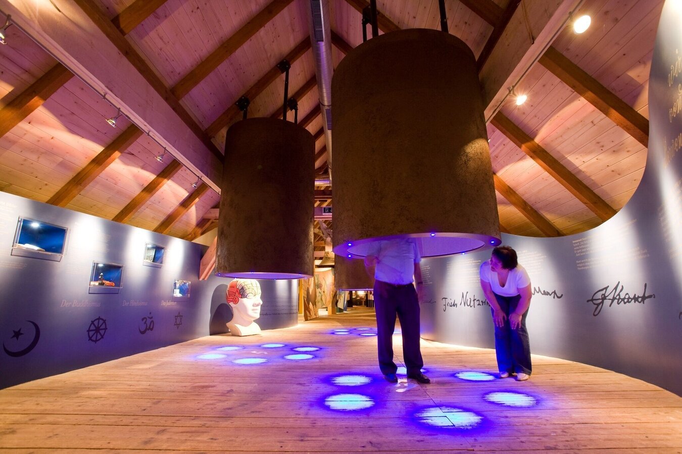
Kräftereich St. Jakob im Walde_St. Jakob im Walde_Eastern Styria | © Kräftereich | Kräftereich, Zwickl
5/10
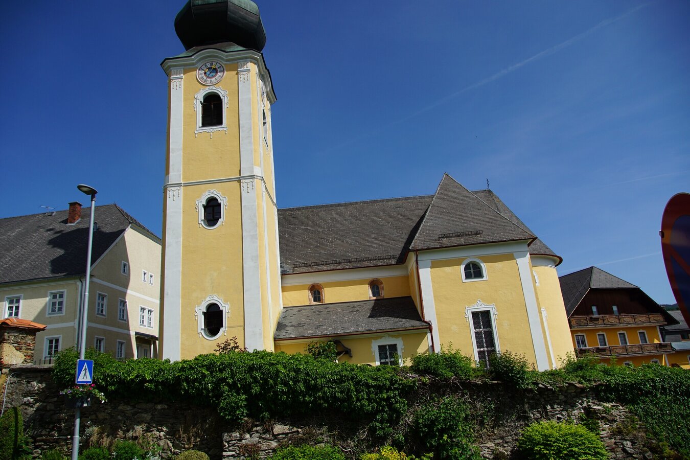
Parish Church of St. Jakob im Walde_Eastern Styria | © Oststeiermark Tourismus | Jasmin Perhofer
6/10
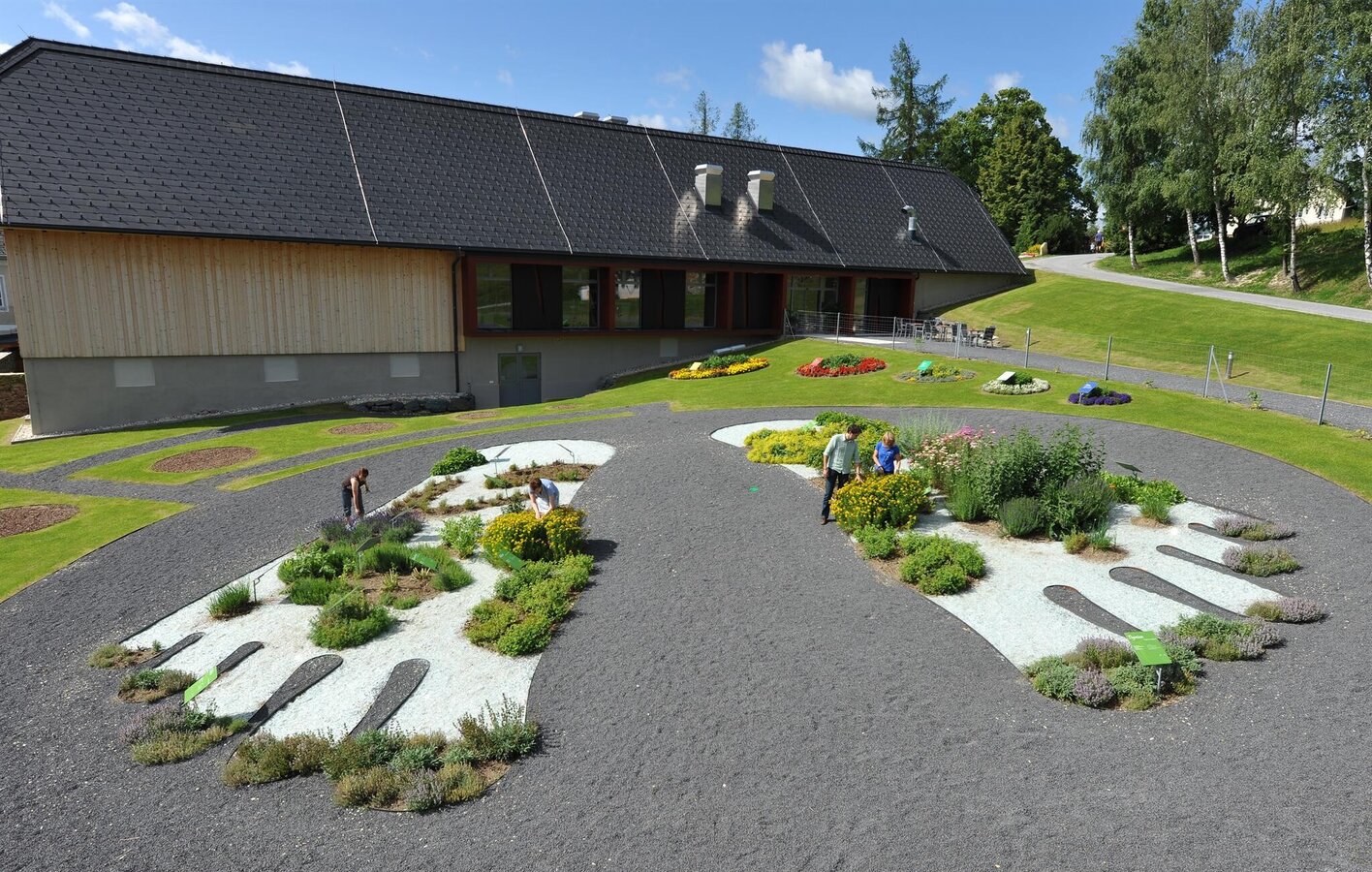
Kräftereich_Herbgarden_Eastern Styria | © Kräftereich | Gery Wolf
7/10
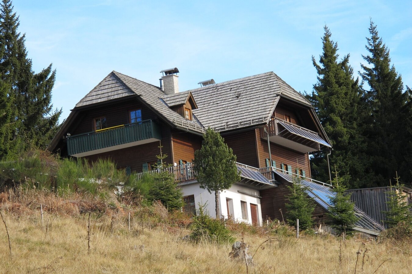
Rabl Kreuz hut_Waldbach_Eastern Styria | © Oststeiermark Tourismus | Zingl
8/10
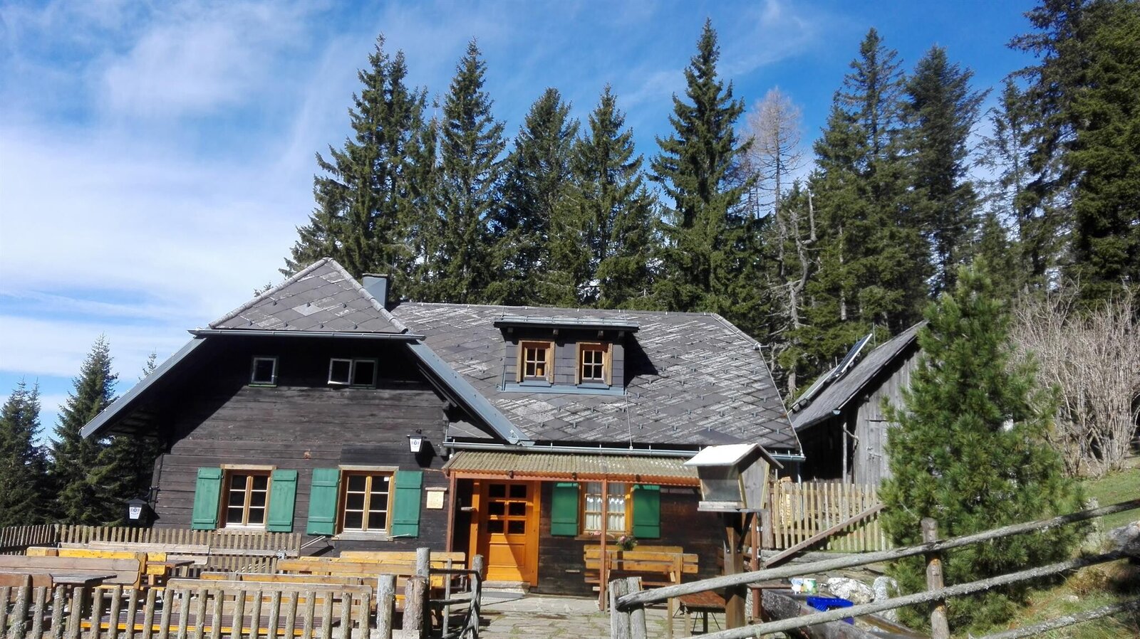
Kaltwiesen cottage_from outside_Eastern Styria | © Kaltwiesenhütte | Maria Gessl
9/10
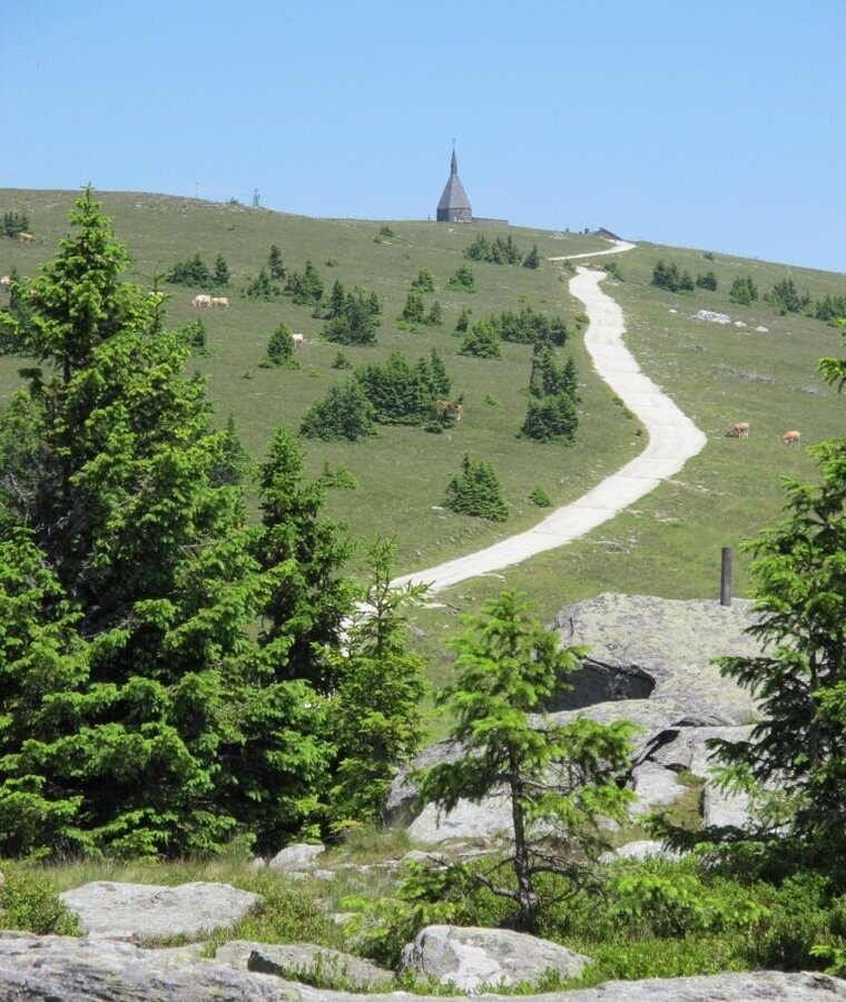
Hochwechselstraße und Kapelle | © Oststeiermark Tourismus | Birgit Kandlbauer
10/10

What the weather will be like Wenigzell (814m)
Today, 26.10.2026
Dry and partly sunny throughout the day, with cloudy periods from time to time.Morning

4°C
sr.Regenwahrscheinlichkeit
25%
sr.Windstärke
10 km/h
Noon
9°C
sr.Regenwahrscheinlichkeit
5%
sr.Windstärke
10 km/h
Night
4°C
sr.Regenwahrscheinlichkeit
5%
sr.Windstärke
0 km/h
Tomorrow, 27.10.2026
Dry and sunny throughout the day with hardly any clouds.Morning

2°C
sr.Regenwahrscheinlichkeit
0%
sr.Windstärke
5 km/h
Noon
9°C
sr.Regenwahrscheinlichkeit
0%
sr.Windstärke
5 km/h
Night
4°C
sr.Regenwahrscheinlichkeit
0%
sr.Windstärke
5 km/h
Forecast
28.10.2026
3°C
12°C
29.10.2026

5°C
10°C
30.10.2026
4°C
10°C
