


alpannonia feeder St. Lorenzen am Wechsel – Niederwechsel
Characteristics
SkillThe tour in numbers
Level of difficulty
medium
Route
10,0 km
Time
4:30 h
Uphill
991 hm
Downhill
58 hm
Highest point
1663 m
From St. Lorenzen along shady forest trails to the Niederwechsel.
The Zurbinger Trail from St. Lorenzen am Wechsel leads along shaded forest paths and trails to the memorial site at Niederwechsel.
Best season
January
February
March
April
May
June
July
August
September
October
November
December
More information
Take the A2 (South Expressway) to the Pinggau exit, then take the state highway to Dechantskirchen, and turn off toward St. Lorenzen
Parking available near the town hall/church
Parking available near the town hall/church
- This regional route begins in the center of St. Lorenzen and leads past the church and cemetery as it exits the town.
- The trail continues uphill along shaded forest paths and trails until it joins the Friedberg regional route at Thalberger Schwaig.
- A little further uphill, you’ll find the turnoff to the Glatzl-Tra Hut, which is about a 15-minute walk off the trail.
- As the trail continues through the forest, you’ll also walk a short stretch along a former Roman road.
- The wagon tracks are still clearly visible in the rock.
- As soon as the trail leaves the forest, you reach the Vorauer Schwaig (not always open).
- From here, after a short climb across mountain meadows, you reach the Niederwechsel, where you meet the main Alpannonia Trail.
- At the often windy Niederwechsel, you can enjoy a panoramic view of the surrounding mountains and far out into the valley.
Sturdy shoes, rain gear, food
If you're looking for a snack, it's worth stopping by the Glatzl-Tra hut (about 15 minutes off the trail).
Map & downloads
Gallery
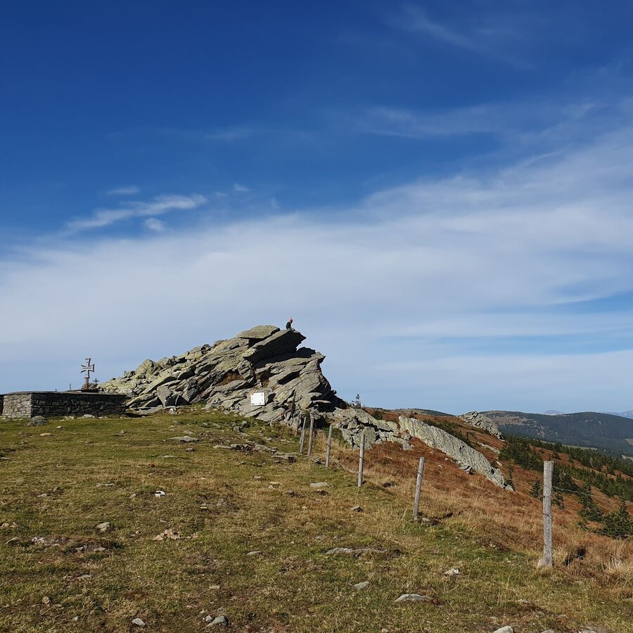
Niederwechsel monument, Festenburg in Eastern Styria | © Tourismusverband Oststeiermark | Anja Reichenbäck
1/5
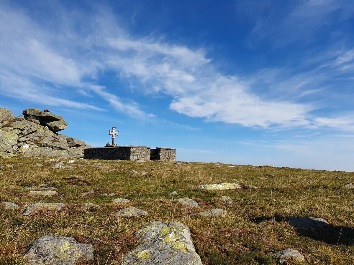
Memorial at Niederwechel in Eastern Styria | © Oststeiermark Tourismus | Anja Reichenbäck
2/5
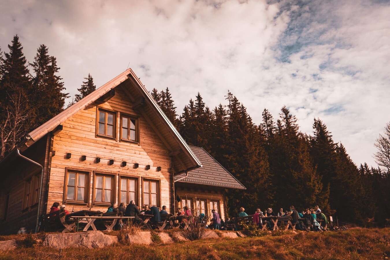
Glatzl Trahütten Alm III | Pichlbauer
3/5
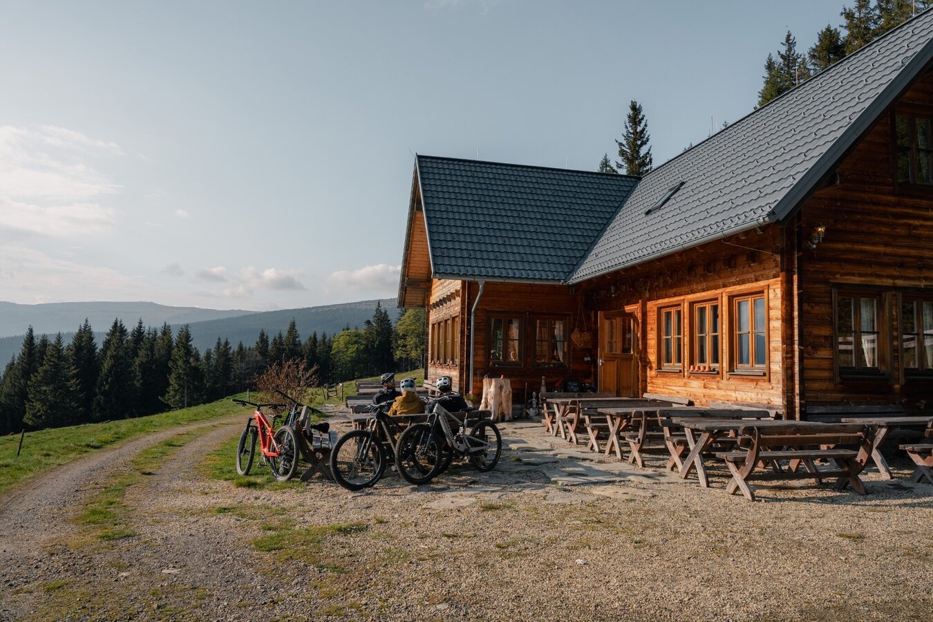
Cyclists on the Glatzl Trahütten Alm in St. Lorenzen am Wechsel in Eastern Styria | © Verein Tourismusentwicklung Steirischer Wechsel | Roastmedia
4/5
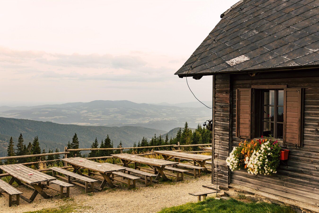
Vorauer Schwaig | © Oststeiermark Tourismus | Bernhard Bergmann
5/5

What the weather will be like St. Lorenzen am Wechsel (725m)
Today, 16.10.2026
Early clouds will clear to leave the region with a dry and sunny day.Morning

7°C
sr.Regenwahrscheinlichkeit
0%
sr.Windstärke
5 km/h
Noon
14°C
sr.Regenwahrscheinlichkeit
0%
sr.Windstärke
10 km/h
Night

8°C
sr.Regenwahrscheinlichkeit
0%
sr.Windstärke
5 km/h
Tomorrow, 17.10.2026
Mostly cloudy through the day with a chance of occasional sunny spells.Morning
7°C
sr.Regenwahrscheinlichkeit
0%
sr.Windstärke
5 km/h
Noon

14°C
sr.Regenwahrscheinlichkeit
0%
sr.Windstärke
10 km/h
Night
10°C
sr.Regenwahrscheinlichkeit
0%
sr.Windstärke
5 km/h
Forecast
18.10.2026
7°C
15°C
19.10.2026
6°C
14°C
20.10.2026
6°C
13°C
