


alpannonia feeder Rettenegg - Pretul
Characteristics
SkillThe tour in numbers
Level of difficulty
medium
Route
5,9 km
Time
2:00 h
Uphill
744 hm
Highest point
1590 m
From the UNESCO World Heritage Site Semmering or from the high altitude health resort Fischbach to the edge of the Pannonian plain near Köszeg, a path full of variety and attractions of nature leads: alpannonia®. You also become an "alpannonier" if you start the tour in one of the feeder communities, as for example in Rettenegg. Then you go up to the 1656 m high Pretul, where you can join the main trail.
The municipality of Rettenegg is known, among other things, for the Planet Trail, which leads to the Stuhleck, or also for the Trollengasthof Joglland, with the special Jobi mountain trout. And it is precisely in this community that the alpannonia feeder trail to the Pretul starts. On the Pretul, too, there is a lot worth seeing and interesting things waiting for the hikers. For example, the Peter Bergner Warte: This was built, so the story goes, for the innkeeper of the Rosegger Schutzhaus (Closed in 2026 for renovations), Peter Bergner, who was murdered in 1904.
Best season
January
February
March
April
May
June
July
August
September
October
November
December
More information
Further information on arrival: municipal office, Rettenegg
Parking spaces at the municipal office, sports field, inn "Simml" (free)
Parking spaces at the municipal office, sports field, inn "Simml" (free)
- We start at the star pavilion in Rettenegg
- We hike in the direction of Spar and turn left to the inn "Simml"
- Shortly before the inn we turn right in the direction of Pretul
- After about 2 km we come to the fish farm Kroisleitner
- After the fish farm we turn right onto the hiking trail nr. 741.
- We continue our hike on a steep part of the forest
- As soon as we leave the forest, we can see the Roseggerhaus (Closed in 2026 for renovations) on the Pretul (1586 meters above sea level).
European emergency call: 112
Emergency call mountain rescue: 140 (if possible please provide GPS data)
Rescue: 144
Fire brigade: 122
Police: 133
Emergency call mountain rescue: 140 (if possible please provide GPS data)
Rescue: 144
Fire brigade: 122
Police: 133
A few tips on correct and fair behaviour in the forest: (Source: www.bundesforste.at )
Hikers should avoid visits to the forest about 1.5 hours before sunrise and after sunset, as wild animals are particularly active during this time.
Plastic bottles, handkerchiefs, cigarette butts etc. have no place in the forest! Please make sure that you do not leave any rubbish in the forest.
Camping and lighting fires are strictly forbidden in the forest!
In principle, every person is allowed to pick 2 kg of mushrooms and berries per day for personal use. It is only prohibited if the forest owner expressly forbids it.
Small backpack with water bottle (+ provisions)Sturdy shoes
Appropriate clothing - if possible several layers - "onion principle".
Rain and sun protectionWalking sticks as required
Mobile phone
Small first aid kit
Route description
Before starting the hike, check the possibilities for refreshments, including opening times, or pack appropriate food and drink.
In the municipality of Rettenegg there is the "Largest wooden stamp in the world" to see. Likewise, a new exhibition "The Glass Man" is presented in the indoor swimming pool in Rettenegg.
You can find all information about this at www.oebb.at or at Verbundlinie Steiermark Mobility Eastern Styria with shared taxi SAM RegioBus
Tourism Association East Styria
Office Joglland - Waldheimat
8255 St. Jakob im Walde, church quarter 24
Tel.: +43 3336 20255
www.joglland-waldheimat.at
www.oststeiermark.com
joglland-waldheimat@oststeiermark.com
Municipality Rettenegg
Tel.: 03173/8020
Wander- Ski- und Radtourenkarte Joglland-Waldheimat Maßstab: 1:50.000 erhältlich beim Tourismusverband Joglland Waldheimat Kompass Wanderführer Joglland Maßstab: 1:50.000 erhältlich beim Tourismusverband Joglland Waldheimat alpannonia Wanderkarte Maßstab: 1:150.000 erhältlich beim Tourismusverband Joglland Waldheimat Wanderwege Rettenegg erhältlich bei der Gemeinde Rettenegg, bei den Infopunkten und bei den Gastwirten
Map & downloads
Gallery
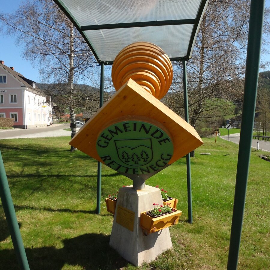
"Größte Holzstempel der Welt" | © Gemeinde Rettenegg | TV Joglland Waldheimat
1/7
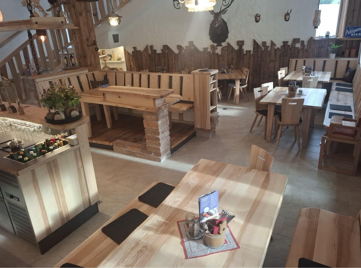
Interior view_Kroisleitner trout farm_Rettenegg_Eastern Styria | © Forellenzucht Kroisleitner | Forellenzucht Kroisleitner
2/7
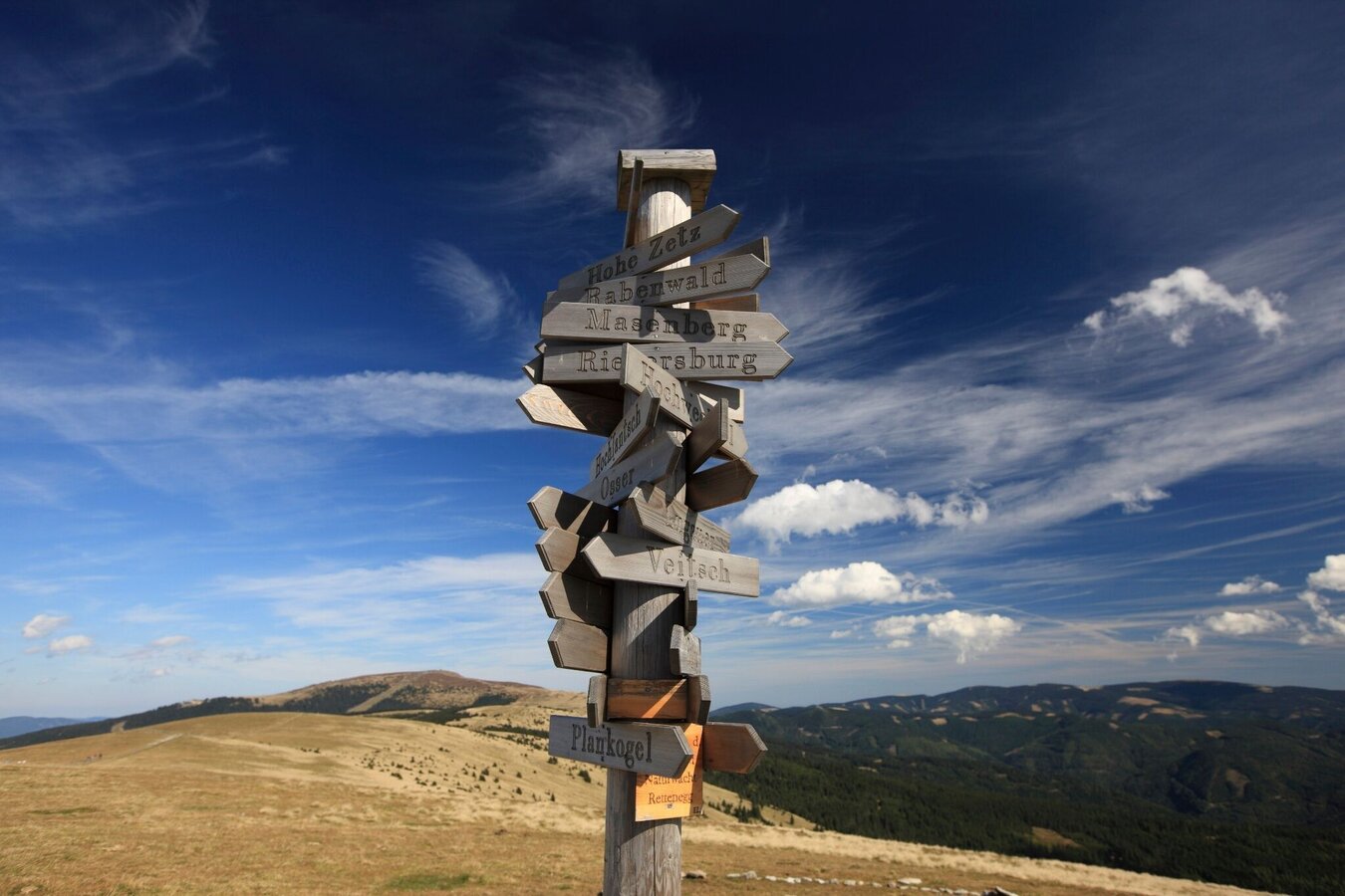
Orientation boards on the Pretul_Ratten_East Styria | © Steiermark Tourismus | Harry Schiffer
3/7
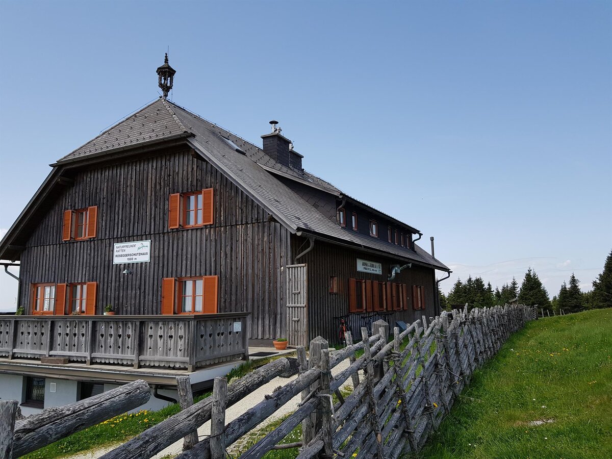
Roseggerhaus Pretul_from outside_Eastern Styria | © Tourismusverband Oststeiermark | Tourismusverband Oststeiermark
4/7
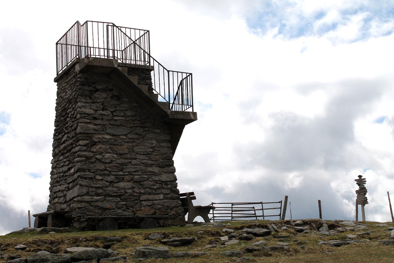
Pretul_Peter Bergner Wait_Eastern Styria | © Oststeiermark Tourismus | Kandlbauer
5/7
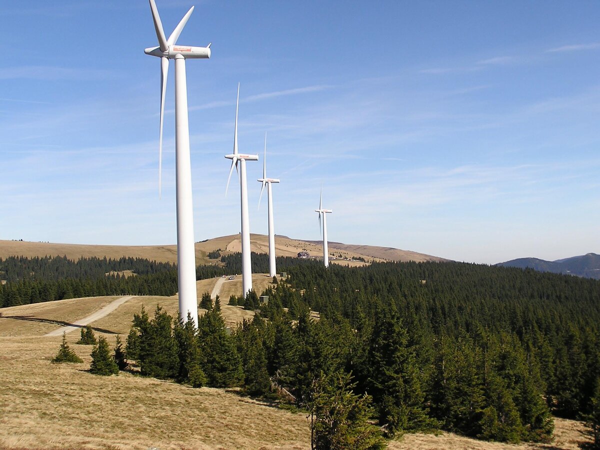
Wind farm_Pretul_Ratten_Eastern Styria | © Tourismusverband Oststeiermark | Birgit Kandlbauer
6/7
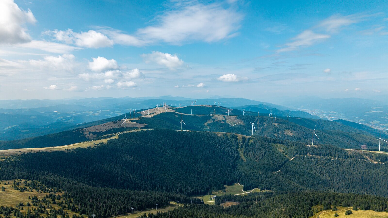
View of Pretul_Stuhleck_Rettenegg_Eastern Styria | © Oststeiermark Tourismus | Lucas-Vollmann-Oswald
7/7

What the weather will be like Rettenegg (856m)
Today, 15.10.2026
Dry and partly sunny throughout the day, with cloudy periods from time to time.Morning

7°C
sr.Regenwahrscheinlichkeit
0%
sr.Windstärke
5 km/h
Noon
14°C
sr.Regenwahrscheinlichkeit
0%
sr.Windstärke
5 km/h
Night

8°C
sr.Regenwahrscheinlichkeit
0%
sr.Windstärke
0 km/h
Tomorrow, 16.10.2026
Dry and sunny throughout the day with hardly any clouds.Morning

6°C
sr.Regenwahrscheinlichkeit
0%
sr.Windstärke
0 km/h
Noon
14°C
sr.Regenwahrscheinlichkeit
0%
sr.Windstärke
5 km/h
Night
7°C
sr.Regenwahrscheinlichkeit
0%
sr.Windstärke
0 km/h
Forecast
17.10.2026
5°C
15°C
18.10.2026

6°C
13°C
19.10.2026
5°C
14°C
