


alpannonia Stage 3 Hochwechsel - Friedberg
Characteristics
SkillThe tour in numbers
Level of difficulty
easy
Route
18,9 km
Time
6:00 h
Uphill
87 hm
Downhill
1232 hm
Highest point
1742 m
From Hochwechsel via Niederwechsel to the center of Friedberg.
Stage 3 of the Alpannonia begins at Hochwechsel and runs mostly downhill via Niederwechsel and Hilmtor to the center of Friedberg.
Best season
January
February
March
April
May
June
July
August
September
October
November
December
More information
Parking is available at the main square in Friedberg or at the Wetterkoglerhaus on the Hochwechsel
The hike begins at Hochwechsel and heads toward Niederwechsel. At Niederwechsel—which is often windy—you can enjoy an impressive panoramic view of the surrounding mountains and far out across the plain.
The trail leads down through mountain meadows to the Vorauer Schwaig, which is not always open. It then continues through the forest, covering a short stretch along a former Roman road. The wagon tracks are still clearly visible in the rock.
The route continues to the turnoff for the Glatzl-Tra hut, which is about a 15-minute walk off the trail. From there, the path leads to the Thalberger Schwaig, where it joins the regional trail to St. Lorenzen.
The route then crosses the Hochkogel, passing several pilgrim crosses that invite you to take a contemplative break. From the Hochkogel, the trail descends somewhat more steeply to the Hilmtor and continues along forest paths to the hamlet of Dreihäuser.
Largely through the forest, the trail then leads down to Schwaighof, where beautiful views await once again. From there, it continues along meadow paths toward Bärengraben.
After crossing the Bärengraben, the trail leads downhill past the retirement home to the center of Friedberg, the hike’s destination.
The trail leads down through mountain meadows to the Vorauer Schwaig, which is not always open. It then continues through the forest, covering a short stretch along a former Roman road. The wagon tracks are still clearly visible in the rock.
The route continues to the turnoff for the Glatzl-Tra hut, which is about a 15-minute walk off the trail. From there, the path leads to the Thalberger Schwaig, where it joins the regional trail to St. Lorenzen.
The route then crosses the Hochkogel, passing several pilgrim crosses that invite you to take a contemplative break. From the Hochkogel, the trail descends somewhat more steeply to the Hilmtor and continues along forest paths to the hamlet of Dreihäuser.
Largely through the forest, the trail then leads down to Schwaighof, where beautiful views await once again. From there, it continues along meadow paths toward Bärengraben.
After crossing the Bärengraben, the trail leads downhill past the retirement home to the center of Friedberg, the hike’s destination.
- Always bring appropriate maps with you.
- Wear sturdy shoes suitable for the hike, and bring sun and rain protection, as well as water and a light snack.
- Bring your cell phone and save the emergency numbers.
- When choosing a route, make sure it matches your mountaineering experience and physical condition.
- Check the weather forecast in advance. The weather in the mountains can change surprisingly quickly. Therefore, always set out properly equipped (e.g., with rain gear).
- Check whether the huts and snack bars you plan to visit along the way are open.
- Let someone know your planned route and expected return time before you set out.
- If you encounter grazing animals, remain calm, keep a safe distance, and do not startle or feed the animals.
- Dogs must be kept on a leash, and you should cross the pasture quickly and without making any sudden movements.
If you're looking for a bite to eat, it's worth visiting the Glatzl Trahütten-Alm (about 15 minutes off the trail).
Map & downloads
Gallery

Cows on the Vorauer Schwaig _St. Lorenzen am Wechsel_Eastern Styria | © Oststeiermark Tourismus | Maria Fank
1/10
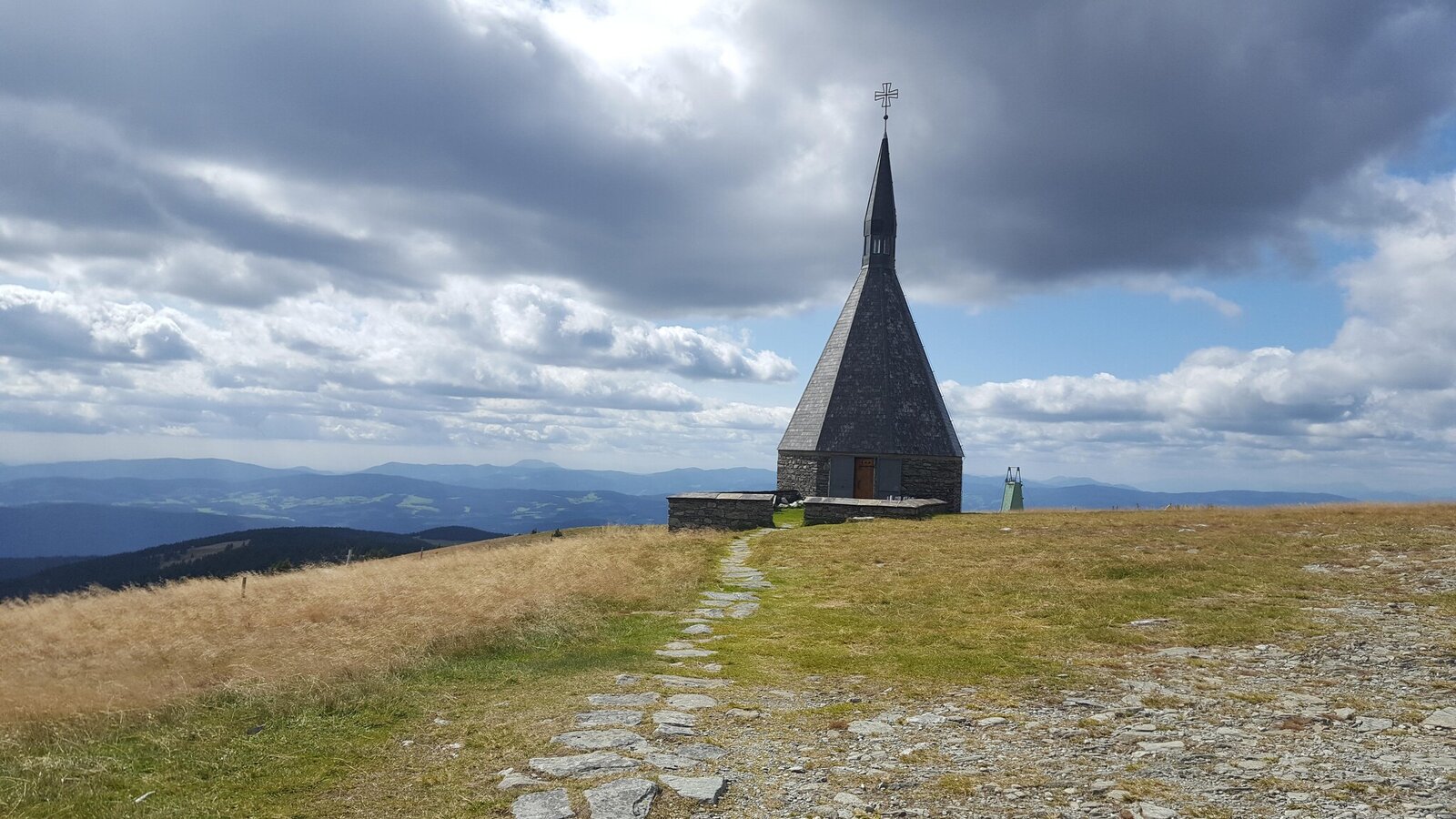
Hochwechsel in Mönichwald in Eastern Styria | Stadtgemeinde Friedberg
2/10
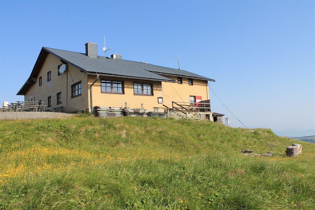
Wetterkoglerhaus am Hochwechsel | © TV Joglland Waldheimat
3/10
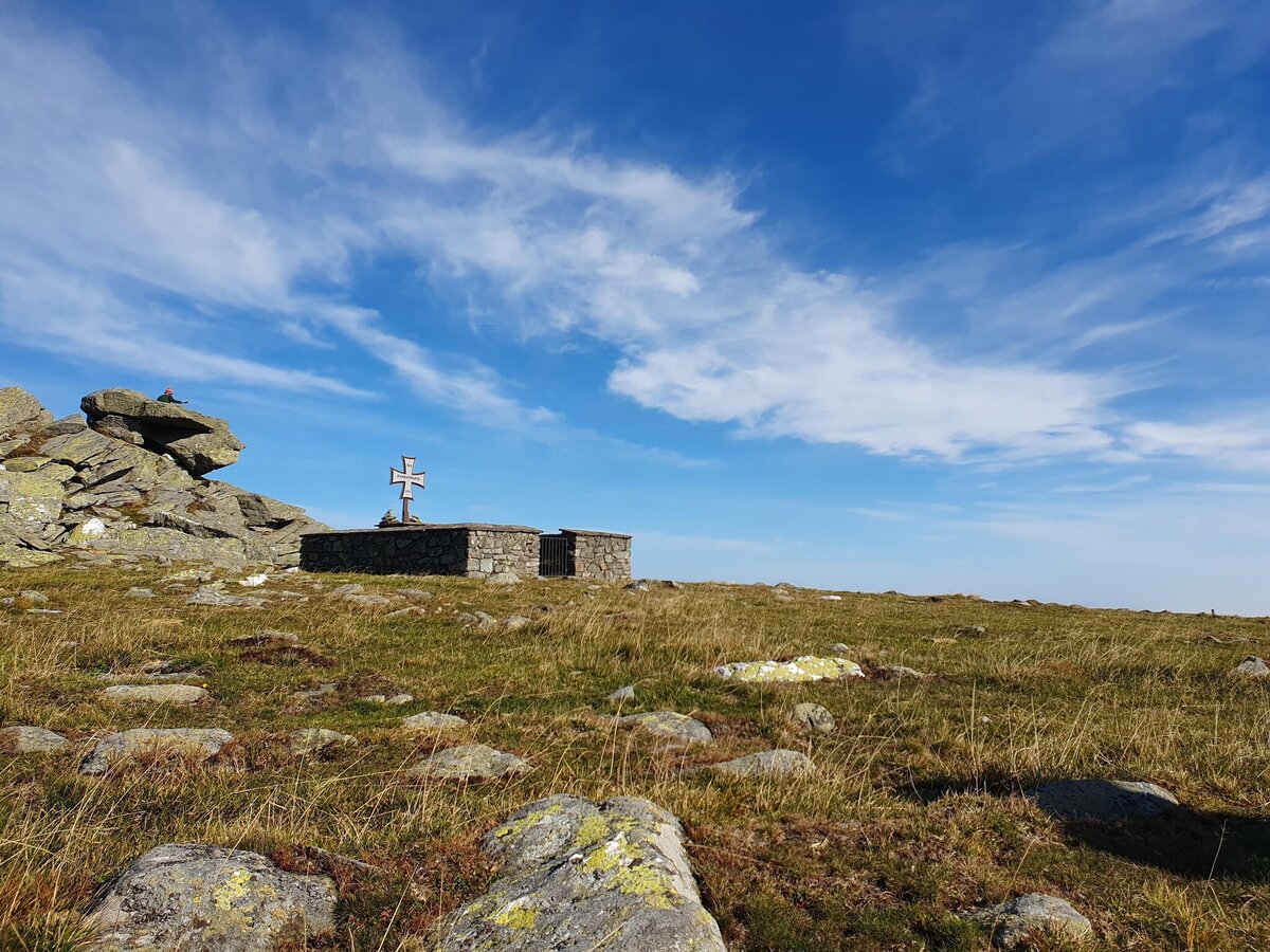
Memorial at Niederwechel in Eastern Styria | © Oststeiermark Tourismus | Anja Reichenbäck
4/10
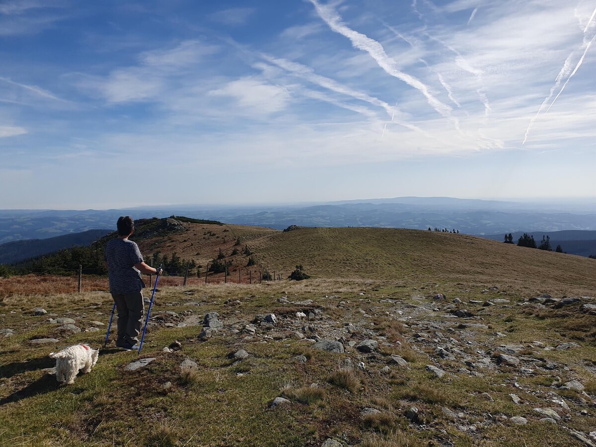
View from the Niederwechsel in Eastern Styria | © Oststeiermark Tourismus | Anja Reichenbäck
5/10

Hikers on the Hochwechsel_Mönichwald_Eastern Styria | © Markus Lang-Fotografie | Markus Lang
6/10
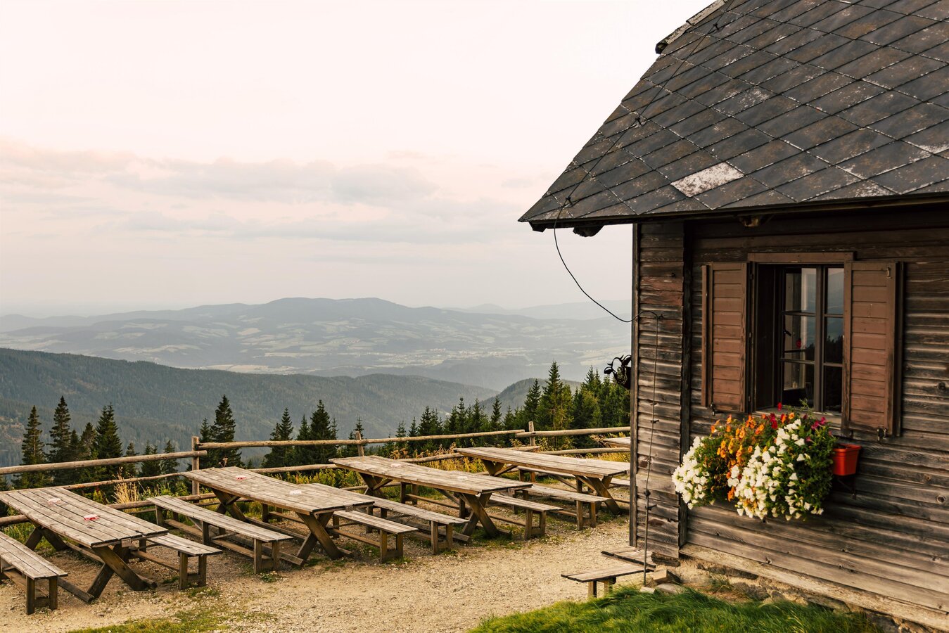
Vorauer Schwaig | © Oststeiermark Tourismus | Bernhard Bergmann
7/10
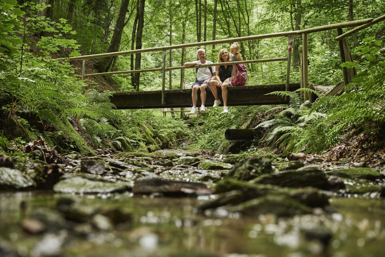
Pedestrian bridge in the Bärengraben in Friedberg | © Markus Lang-Bichl
8/10
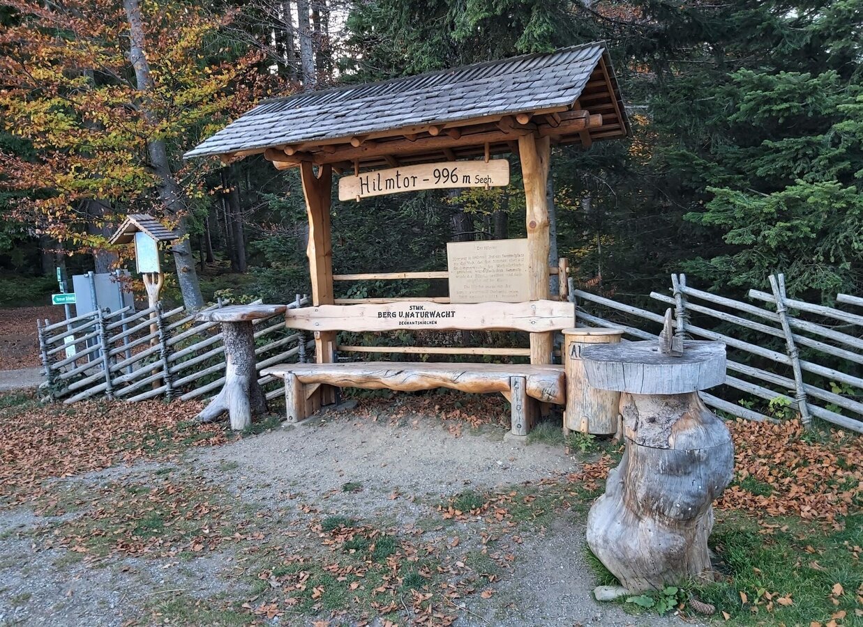
Hilmtor rest area, municipality of Dechantskirchen in Eastern Styria | © Oststeiermark Tourismus | Pollhammer
9/10
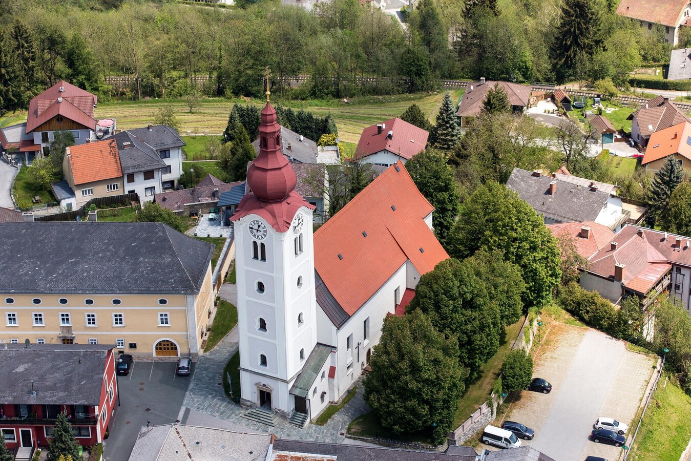
Friedberg parish church in Eastern Styria | © Stadtpfarrkirche Friedberg
10/10
