


alpannonia Stage 2 Pretul - Hochwechsel
Characteristics
SkillThe tour in numbers
Level of difficulty
challenging
Route
21,2 km
Time
7:30 h
Uphill
922 hm
Downhill
771 hm
Highest point
1780 m
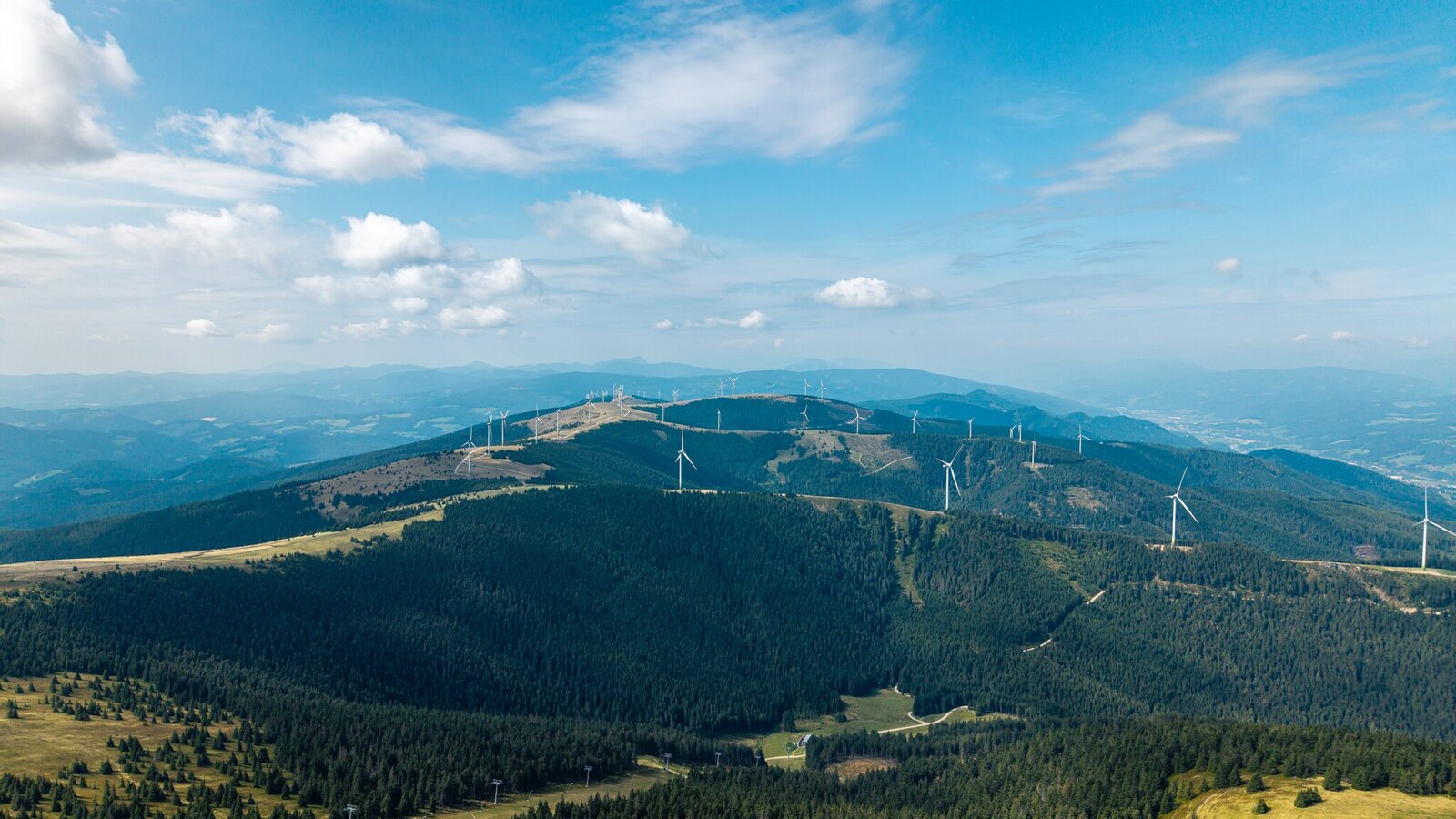
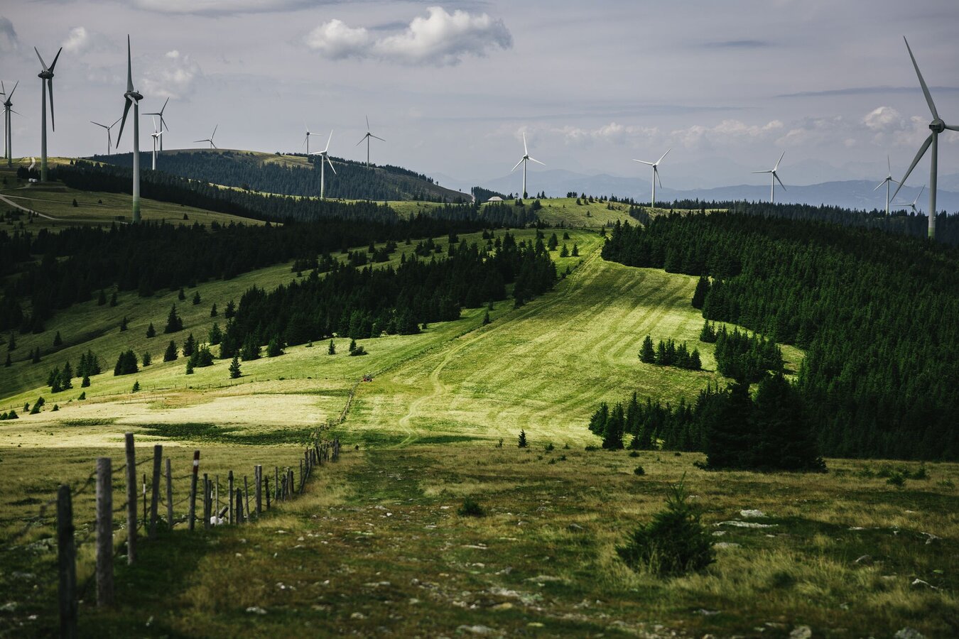
From the wind farm on the Pretul, over the Stuhleck, through the forests of the Großer and Kleiner Pfaffen, to the Hochwechsel.
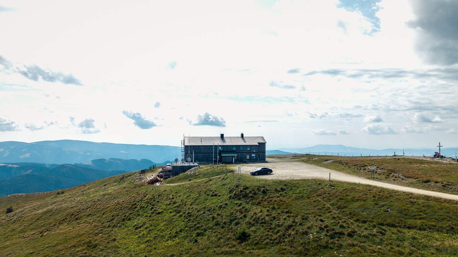
The second stage of the Alpannonia trail leads from the Roseggerhaus to the highest peak in Eastern Styria, the Stuhleck. The long-distance hiking trail continues over the Pfaffensattel to the Hochwechsel, where hikers are rewarded with an impressive panoramic view stretching all the way to Hungary.
Best season
January
February
March
April
May
June
July
August
September
October
November
December
More information
On this alpine stage, you’ll reach the highest peak on the alpannonia® long-distance hiking trail. From the Rosegger mountain hut on the Pretulalpe, you’ll hike along a scenic mountain ridge dotted with wind turbines to the 1,783-meter-high Stuhleck. This also marks the highest point of the alpannonia® trail.
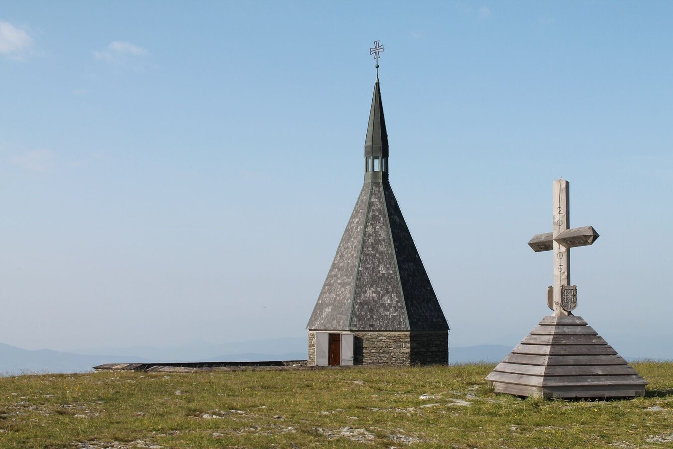
After descending to the Pfaffensattel, the trail winds uphill and downhill, mostly through forests with some beautiful views, to the Feistritzsattel. From there, the trail climbs gently through Schwaigen (alpine pastures) to the 1,743-meter-high Hochwechsel, where the Wetterkoglerhaus is located.
After descending to the Pfaffensattel, the trail winds uphill and downhill, mostly through forests with some beautiful views, to the Feistritzsattel. From there, the trail climbs gently through Schwaigen (alpine pastures) to the 1,743-meter-high Hochwechsel, where the Wetterkoglerhaus is located.
Always bring appropriate maps with you. Wear sturdy shoes suitable for the hike, and bring sun and rain protection, as well as water and a light snack.
Bring your cell phone and save the emergency numbers.
When choosing a route, make sure it matches your mountaineering experience and physical condition.
Check the weather forecast in advance. The weather in the mountains can change surprisingly quickly. Therefore, always set out properly equipped (e.g., with rain gear).
Check whether the huts and snack bars you plan to visit along the way are open. Let someone know your planned route and expected return time before you set out.
If you encounter grazing animals, remain calm, keep a safe distance, and do not startle or feed the animals. Dogs must be kept on a leash, and you should cross the pasture quickly and without making any sudden movements.
Bring your cell phone and save the emergency numbers.
When choosing a route, make sure it matches your mountaineering experience and physical condition.
Check the weather forecast in advance. The weather in the mountains can change surprisingly quickly. Therefore, always set out properly equipped (e.g., with rain gear).
Check whether the huts and snack bars you plan to visit along the way are open. Let someone know your planned route and expected return time before you set out.
If you encounter grazing animals, remain calm, keep a safe distance, and do not startle or feed the animals. Dogs must be kept on a leash, and you should cross the pasture quickly and without making any sudden movements.
Map & downloads
Gallery
pretul_stuhleck_lucas_vollmann-oswald_2_91654001.jpg | © Oststeiermark Tourismus | Lucas Vollmann-Oswald
1/7
Price_Stuhleck_Eastern Styria | © Oststeiermark Tourismus | Lucas Vollmann-Oswald
2/7
View of Stuhleck_Ratten_Eastern Styria | © Oststeiermark Tourismus | Noah Ulrich
3/7

Hikers on the Hochwechsel_Mönichwald_Eastern Styria | © Markus Lang-Fotografie | Markus Lang
4/7
Wetterstation Hochwechsel | © Oststeiermark Tourismus | Oststeiermark Tourismus
5/7
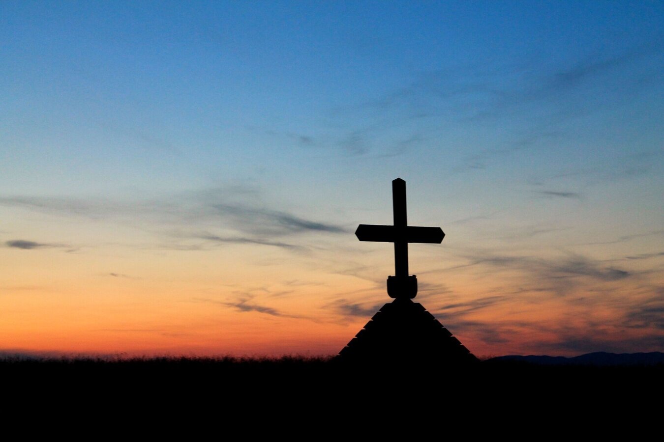
Sunset Hochwechsel_Mönichwald_Eastern Styria | © Oststeiermark Tourismus | Tourismusverband Oststeiermark
6/7
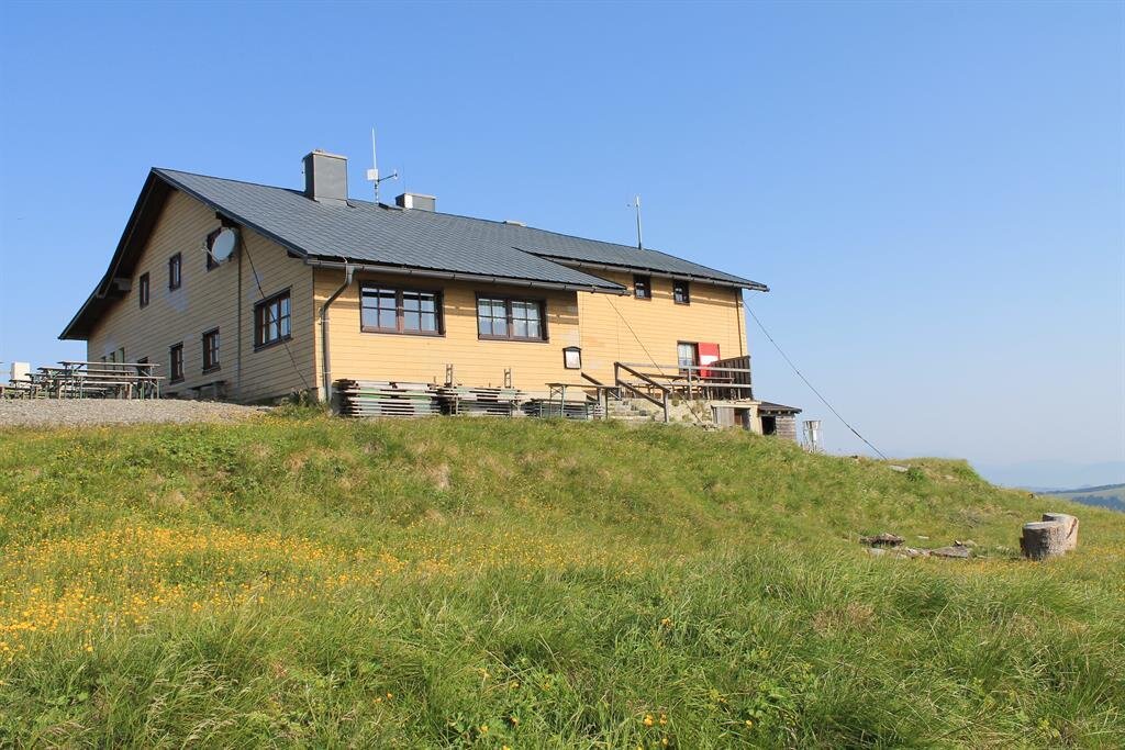
Wetterkoglerhaus am Hochwechsel | © TV Joglland Waldheimat
7/7

What the weather will be like Ratten (736m)
Today, 23.10.2026
Fair or bright in the beginning, cloudy towards the end of the day.Morning

2°C
sr.Regenwahrscheinlichkeit
0%
sr.Windstärke
0 km/h
Noon

12°C
sr.Regenwahrscheinlichkeit
0%
sr.Windstärke
10 km/h
Night
6°C
sr.Regenwahrscheinlichkeit
5%
sr.Windstärke
0 km/h
Tomorrow, 24.10.2026
Heavy rain in the morning, drying up in the afternoon.Morning

5°C
sr.Regenwahrscheinlichkeit
80%
sr.Windstärke
10 km/h
Noon

6°C
sr.Regenwahrscheinlichkeit
65%
sr.Windstärke
10 km/h
Night

4°C
sr.Regenwahrscheinlichkeit
15%
sr.Windstärke
5 km/h
Forecast
25.10.2026
1°C
11°C
26.10.2026
4°C
13°C
27.10.2026
3°C
14°C
