


Summit tour: From Waldbach to the Hochwechsel, Waldbach-Mönichwald
Characteristics
SkillThe tour in numbers
Level of difficulty
challenging
Route
15,8 km
Time
3:30 h
Uphill
1223 hm
Downhill
113 hm
Highest point
1743 m
This summit tour from Waldbach takes you up to the 1743-metre-high Hochwechsel. Around 1200 meters in altitude are covered here - an e-bike is therefore particularly suitable for this tour.
The municipality of Waldbach is best known for the "Wiedners Wasserspiele". Hundreds of wooden figures, powered only by water, invite you to marvel and is a very special experience, especially for families and children.
Best season
January
February
March
April
May
June
July
August
September
October
November
December
More information
Waldbach-Mönichwald has been a municipality in the Hartberg-Fürstenfeld district of Styria in Austria since 2015.
By car:
From Graz: via the A2 to the Hartberg exit, then B50 and B54 via Grafendorch to Rohrbach; continue via Koglerau and Bruck, Mönichwald to Waldbach
From Vienna: via the A2 to the Pinggau exit, then on the B54 towards Hartberg to Rohrbach a. d. Lafnitz; continue via Koglerau and Bruck, Mönichwald to Waldbach
Detailed information on how to get here can be found here.
Waldbach, "Zur Post" inn, tennis court/biobath (free)
By car:
From Graz: via the A2 to the Hartberg exit, then B50 and B54 via Grafendorch to Rohrbach; continue via Koglerau and Bruck, Mönichwald to Waldbach
From Vienna: via the A2 to the Pinggau exit, then on the B54 towards Hartberg to Rohrbach a. d. Lafnitz; continue via Koglerau and Bruck, Mönichwald to Waldbach
Detailed information on how to get here can be found here.
Waldbach, "Zur Post" inn, tennis court/biobath (free)
- We start in the municipality of Waldbach at Gasthof zur Post.
- On the main road towards Mönichwald we turn left after approx. 500 m towards Breitenbrunn, Hochwechsel and continue straight ahead for approx. 2 km.
- Pass the Kumpfmühle on the right and continue for approx. 1 km until you reach a sharp left-hand bend, where you turn right towards Meisterhofer vlg. Kroner.
- We continue straight on for approx. 1.3 km until we come to a stable.
- Here we turn right and cross a small bridge.
- From now on it goes uphill.
- At the sharp S-bend (signpost Pockreiter Erhard) we continue left, at the next junction (Arzberger family) we also keep left.
- Now the route continues flat for a while and we can enjoy a wonderful distant view.
- We pass the farm of the Krogger family and reach a crossroads where we turn right onto the Hochwechselstraße.
- After approx. 3.5 km we reach the Rabl-Kreuz-Hütte excursion destination, continue straight ahead and after another approx. 5 km we reach our destination, the Hochwechsel.
Important telephone numbers:
European emergency call: 112
Emergency call mountain rescue: 140 (if possible, please provide GPS data)
Rescue: 144
Fire department: 122
Police: 133
Fair play rules for cyclists
Plan your tour carefully!
Check your bike before you set off!
Always ride with the right protective equipment!
Always ride with a helmet!
Don't forget all your equipment (repair kit, first aid kit, etc.)!
Only ride on marked paths!
Observe the road traffic regulations!
Observe driving bans and keep to opening times!
Control your speed!
Leave no tracks!
Respect other nature users!
Show consideration for animals (only ride in daylight & close pasture fences)!
Avoid noise and garbage!
Use the cycle paths at your own risk!
Beware of working machines, wood or potholes on the road, grazing livestock and vehicle traffic (forest roads are working areas and workplaces)! A few tips on correct and fair behavior: Cycling and mountain biking in the forest (oesterreich.gv.at)
Cyclists should avoid visiting the forest approx. 1.5 hours before sunrise and after sunset, as wild animals are particularly active at this time.
Plastic bottles, handkerchiefs, cigarette butts etc. have no place in the forest! Please make sure that you do not leave any garbage in the forest.
Camping and making fires is strictly forbidden in the forest!
Helmet
Sunglasses
Water bottle
Provisions for the road
Sports clothing
Rain jacket/windbreakerSturdy shoes
Repair kit (air pump, repair kit, spare tube, multitool, etc.)
Light
First aid kit
Maps
We recommend Rabl-Kreuz hut for a refreshment stop.
Timetables and travel information can be found at Österreichische Bundesbahnen (ÖBB) or at Verkehrsauskunft Verbundlinie.
For local transportation we recommend the SAM-Sammeltaxi Oststeiermark.
Please note whether you are allowed to take your bike with you if you are traveling by public transport
For local transportation we recommend the SAM-Sammeltaxi Oststeiermark.
Please note whether you are allowed to take your bike with you if you are traveling by public transport
You can find information about the region, places to stop and stay overnight, excursion destinations, etc. here:
Eastern Styria Tourism Association
Joglland-Waldheimat office
8255 St. Jakob im Walde
Tel.: 03336/20255
Map & downloads
Gallery
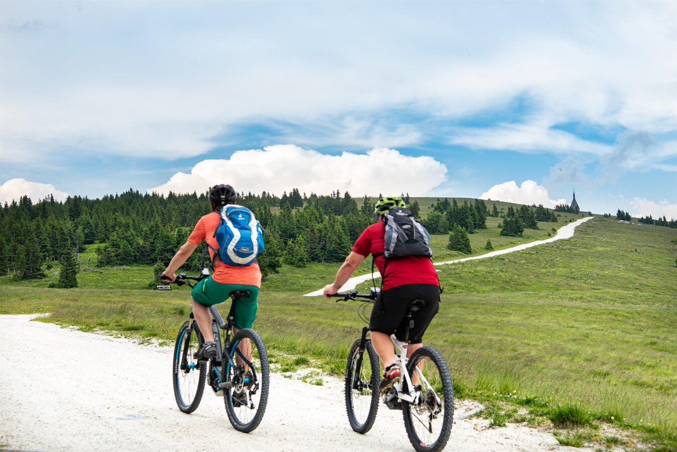
E-Bike rental_biker to the Hochwechsel_Eastern Styria | © Region Joglland - Waldheimat | Kurt Elmleitner
1/9
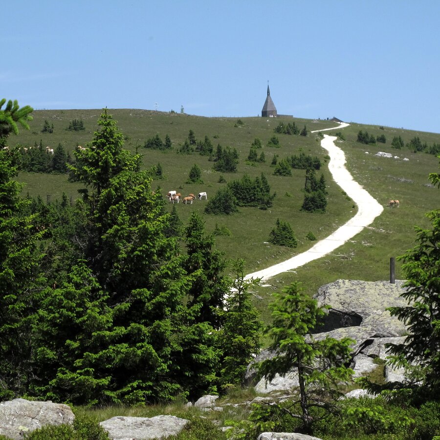
Weg auf den Hochwechsel | © Oststeiermark Tourismus | Tourismusverband Oststeiermark
2/9
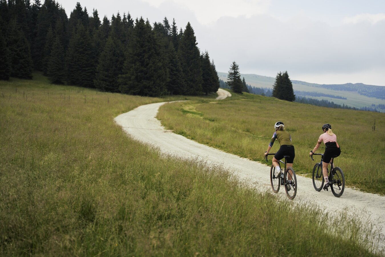
Cyclists on the Almweg trail in Miesenbach, Eastern Styria | © Oststeiermark Tourismus | Markus Lang-Bichl
3/9
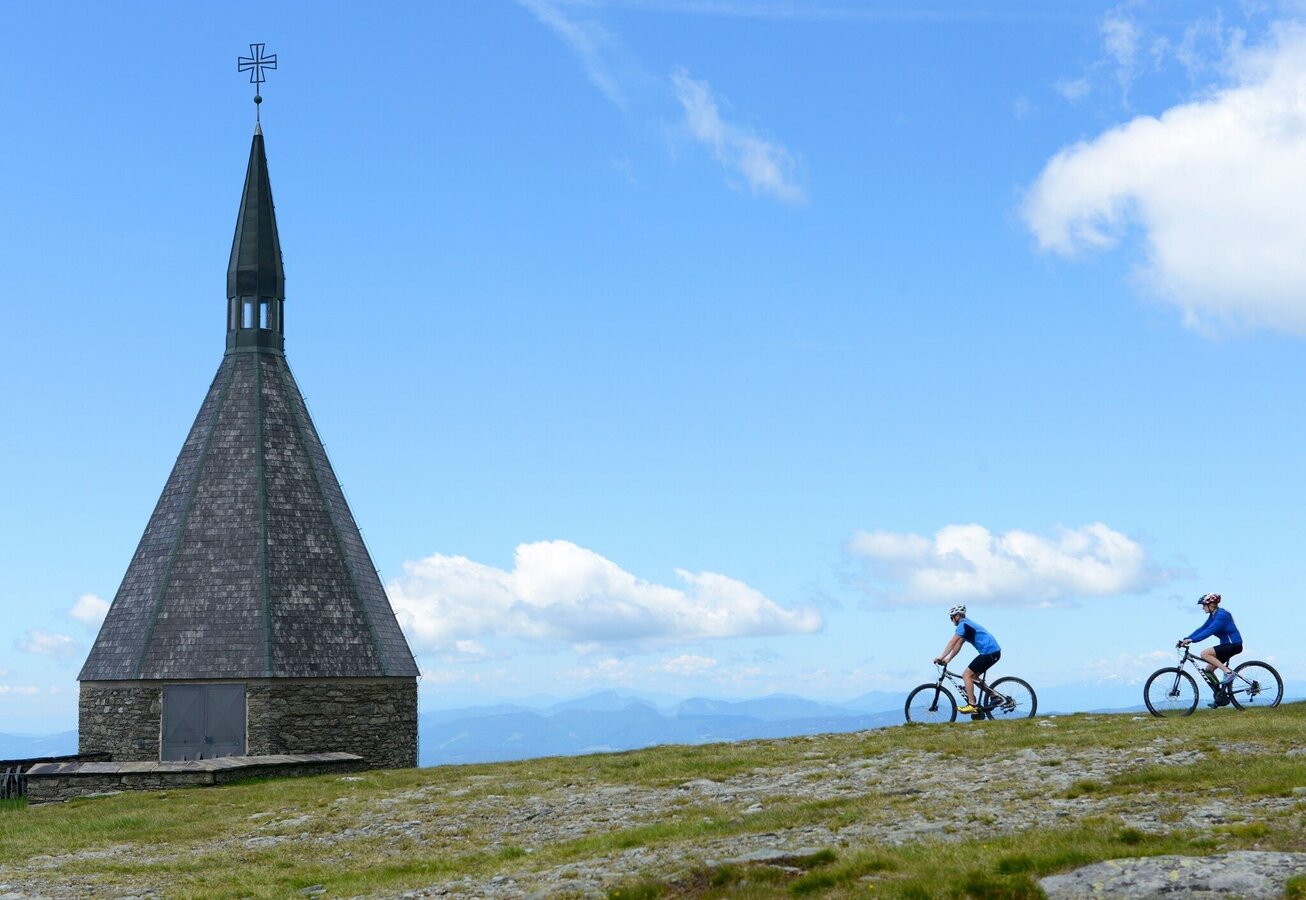
Cycling on the Hochwechsel summit, Joglland forest home in Eastern Styria | © TV Joglland - Waldheimat | Gery Wolf
4/9
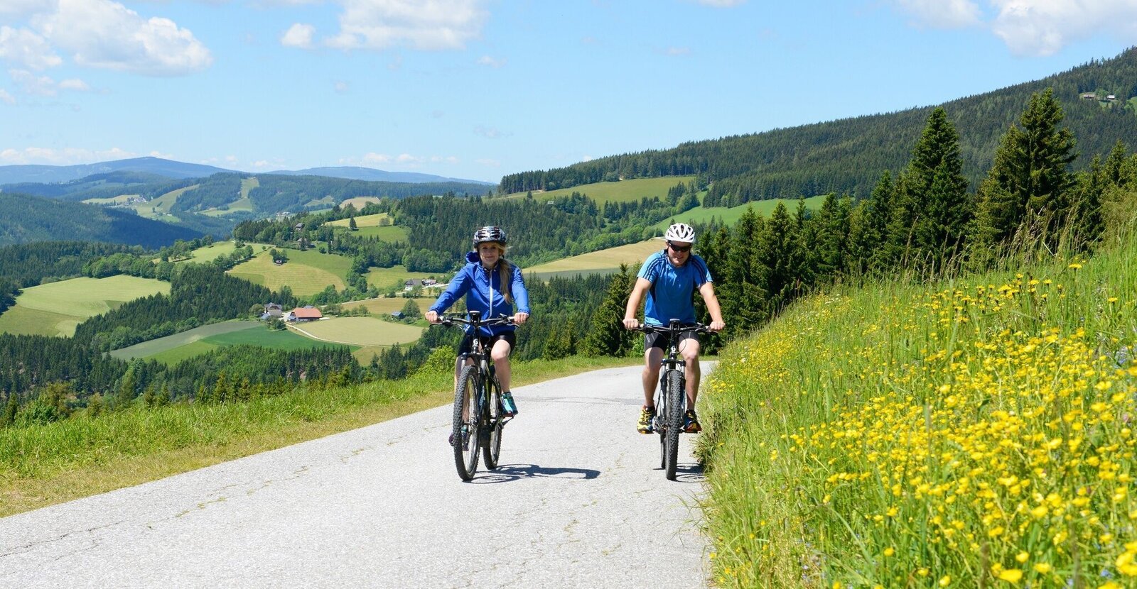
On the way to Hochwechsel_Mönichwald_Eastern Styria | © Oststeiermark Tourismus | Gery Wolf
5/9
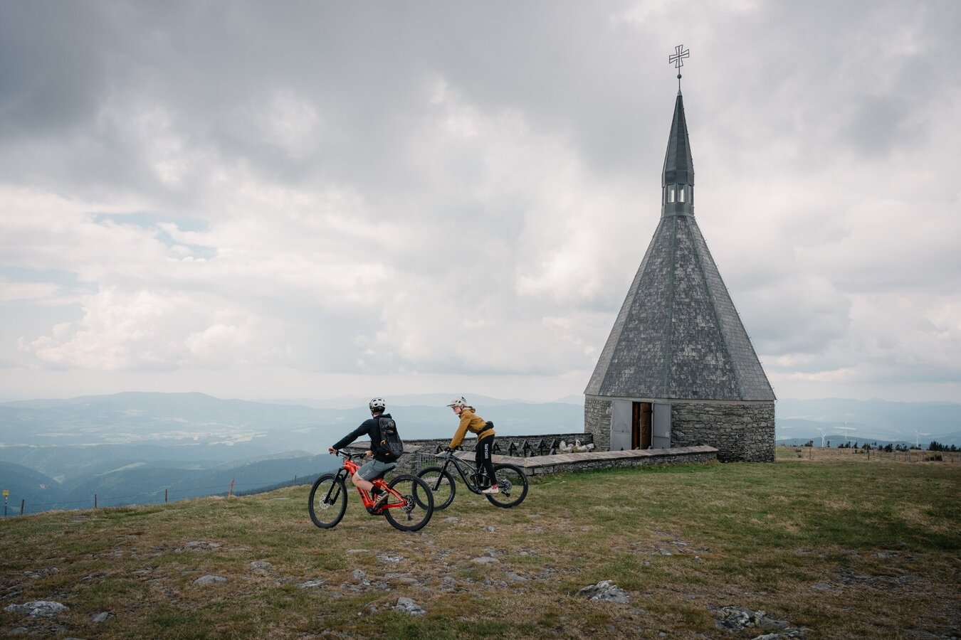
Cyclist on the Hochwechsel in Eastern Styria | © Verein Tourismusentwicklung Steirischer Wechsel | Roastmedia
6/9
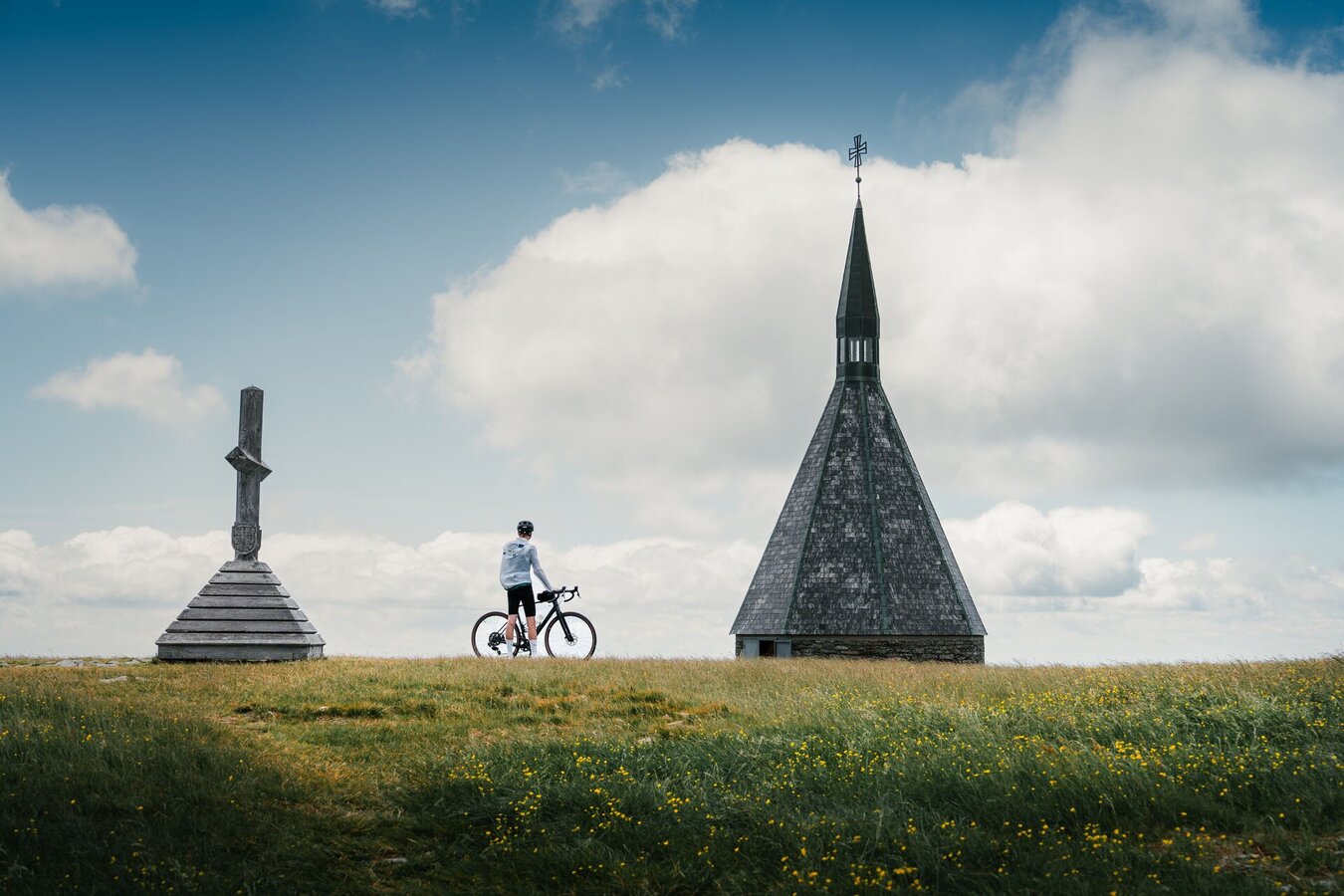
Hochwechsel with chapel_Mönichwald_Eastern Styria | © Oststeiermark Tourismus | Christoph Lukas
7/9
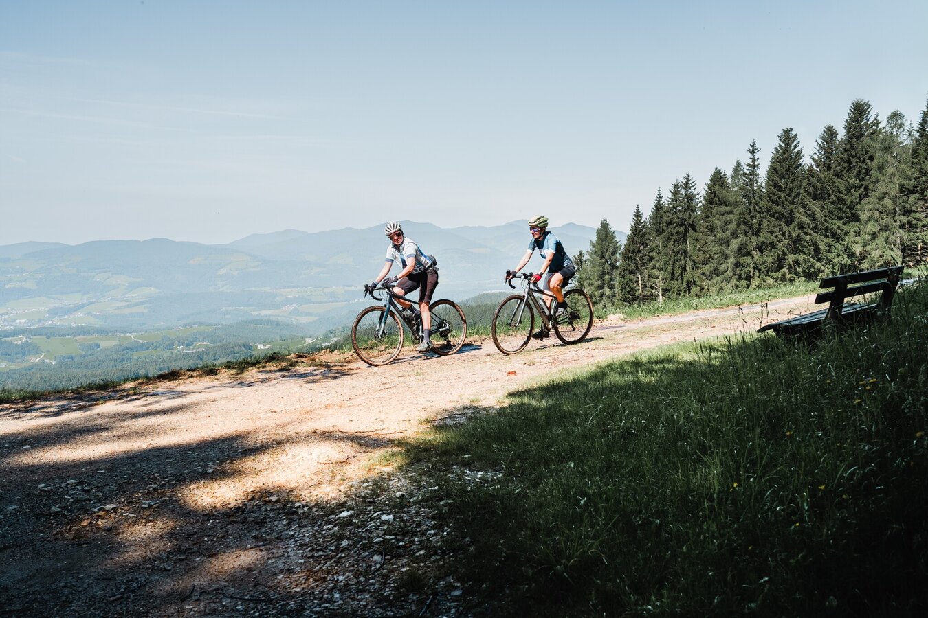
Cyclists in Eastern Styria_Eastern Styria | © Christoph Lukas | Chris mit 5komma5sinne
8/9
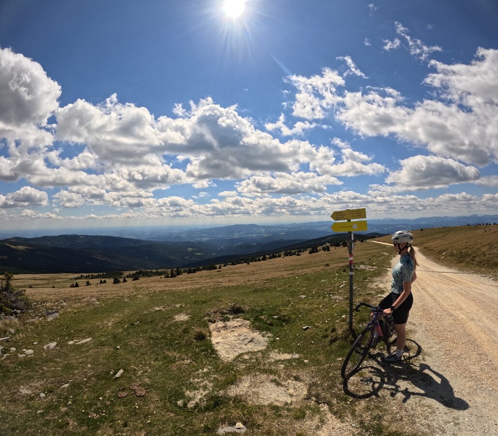
Gravel photos_GoPro_High switch_Eastern Styria | © Oststeiermark Tourismus | Patrick Nunner
9/9

What the weather will be like Waldbach-Mönichwald (574m)
Today, 20.09.2026
The day starts sunny, but will be partly cloudy in the afternoon.Morning

15°C
sr.Regenwahrscheinlichkeit
0%
sr.Windstärke
5 km/h
Noon

23°C
sr.Regenwahrscheinlichkeit
0%
sr.Windstärke
5 km/h
Night

18°C
sr.Regenwahrscheinlichkeit
0%
sr.Windstärke
5 km/h
Tomorrow, 21.09.2026
Early clouds will clear to leave the region with a dry and sunny day.Morning
14°C
sr.Regenwahrscheinlichkeit
45%
sr.Windstärke
10 km/h
Noon
16°C
sr.Regenwahrscheinlichkeit
5%
sr.Windstärke
15 km/h
Night
12°C
sr.Regenwahrscheinlichkeit
0%
sr.Windstärke
10 km/h
Forecast
22.09.2026
8°C
15°C
23.09.2026
8°C
17°C
24.09.2026

8°C
18°C
