


Seaway, Strallegg
Characteristics
SkillThe tour in numbers
Level of difficulty
medium
Route
8,9 km
Time
3:00 h
Uphill
230 hm
Downhill
230 hm
Highest point
842 m
This easy hiking trail leads you from the village and flower village Strallegg to the shore of the Feistritz. There the lake hut Töglhofer is waiting for you, which is a popular hiking and excursion destination especially on hot summer days.
The tour starts in the sunny village and flower street town of Strallegg. Very worth seeing here is the parish church with frescoes by Johann Cyriak Hackhofer.
Best season
January
February
March
April
May
June
July
August
September
October
November
December
More information
Strallegg is located in the East Styrian mountains. The municipal area rises from around 600 meters in the southwest to over 1000 meters.
By car:
From Graz: via the A2 (towards Vienna) to the Gleisdorf-West exit, follow the B54 to Weiz, then continue on the B72 towards Ratten, Strallegg
From Vienna: via the A2 (towards Graz) to the Gleisdorf-West exit, follow the B54 to Weiz, then continue on the B72 towards Ratten, Strallegg
Detailed information on how to get here can be found here .
Strallegg, Hauptschule, Raifeisenbank (free)
- We start at the village square Strallegg and hike south until we reach the Pointkreuz
- At the Pointkreuz we keep to the right and follow the yellow marking 12
- After about 4 km we turn sharp right
- After a short descent we reach the Seehütte Töglhofer
- After a refreshment we start our way back again
- On the way back we cross the "in Schachen" meadow.
- Afterwards we come back to the hiking trail 14
- From there we now go back to the village square Strallegg
European emergency call: 112
Emergency call mountain rescue: 140 (if possible please provide GPS data)
Rescue: 144
Fire brigade: 122
Police: 133
Emergency call mountain rescue: 140 (if possible please provide GPS data)
Rescue: 144
Fire brigade: 122
Police: 133
A few tips on correct and fair behaviour in the forest: (Source: www.bundesforste.at )
Hikers should avoid visits to the forest about 1.5 hours before sunrise and after sunset, as wild animals are particularly active during this time.
Plastic bottles, handkerchiefs, cigarette butts etc. have no place in the forest! Please make sure that you do not leave any rubbish in the forest.
Camping and lighting fires are strictly forbidden in the forest!
In principle, every person is allowed to pick 2 kg of mushrooms and berries per day for personal use. It is only prohibited if the forest owner expressly forbids it.
Proper backpacking makes many things easier: pack heavy things first. The water bottle should always be within easy reach in a side pocket. All things that are often needed, such as sunglasses, camera or hiking map, belong on top.Before the start of the hike, check the opening times for refreshment stops and pack the appropriate food.
An emergency kit (incl. blister plaster) belongs in every backpack!
It is always advisable to dress according to the "onion system"!
A good hiking boot is a good companion and should never be missing on the mountain!
When you arrive at the Seehütte Töglhofer, instead of hiking back to Strallegg, you can follow the "Edlseer Hoamatweg" and learn a lot about the home of the music group "Die Edlseer".
Timetables and travel information can be found at Österreichische Bundesbahnen (ÖBB) or at Verkehrsauskunft Verbundlinie.
For local transportation we recommend the SAM-Sammeltaxi Oststeiermark.
Eastern Styria Tourist Board
Office Joglland - Waldheimat
8255 St. Jakob im Walde, Kirchenviertel 24
Phone: +43 3336 20255
www.joglland-waldheimat.at
www.oststeiermark.com
joglland-waldheimat@oststeiermark.com
Community Strallegg
8192 Strallegg
100Tel.: +43 (0)3174/2022
gde@strallegg.steiermark.at
www.strallegg.at
Strallegg village map and hiking map: available at the Strallegg municipal office and at the Strallegg village café
Hiking booklet: On foot through Joglland and the Waldheimat: available from the Joglland-Waldheimat tourist office, Tel: +43 3336 20255
Office Joglland - Waldheimat
8255 St. Jakob im Walde, Kirchenviertel 24
Phone: +43 3336 20255
www.joglland-waldheimat.at
www.oststeiermark.com
joglland-waldheimat@oststeiermark.com
Community Strallegg
8192 Strallegg
100Tel.: +43 (0)3174/2022
gde@strallegg.steiermark.at
www.strallegg.at
Strallegg village map and hiking map: available at the Strallegg municipal office and at the Strallegg village café
Hiking booklet: On foot through Joglland and the Waldheimat: available from the Joglland-Waldheimat tourist office, Tel: +43 3336 20255
Map & downloads
Gallery
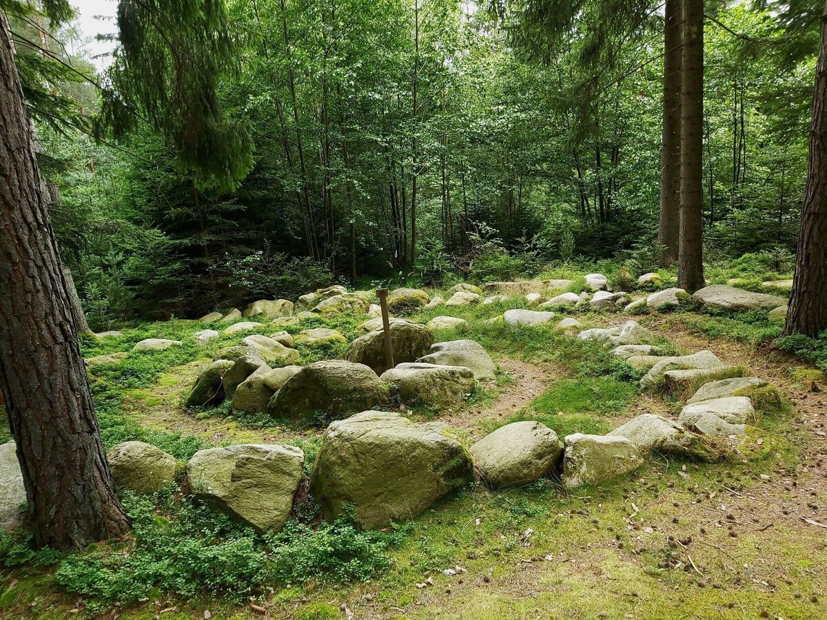
Stone labyrinth in Waisenegg_Joglland-Waldheimat_Eastern Styria | © Oststeiermark Tourismus | Christine Pollhammer
1/5
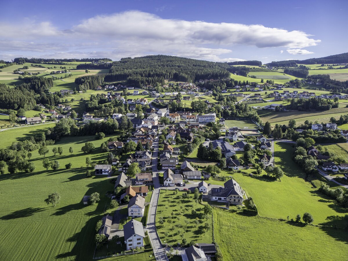
Aerial view Strallegg_Eastern Styria | © Oststeiermark Tourismus | Kurt Elmleitner
2/5
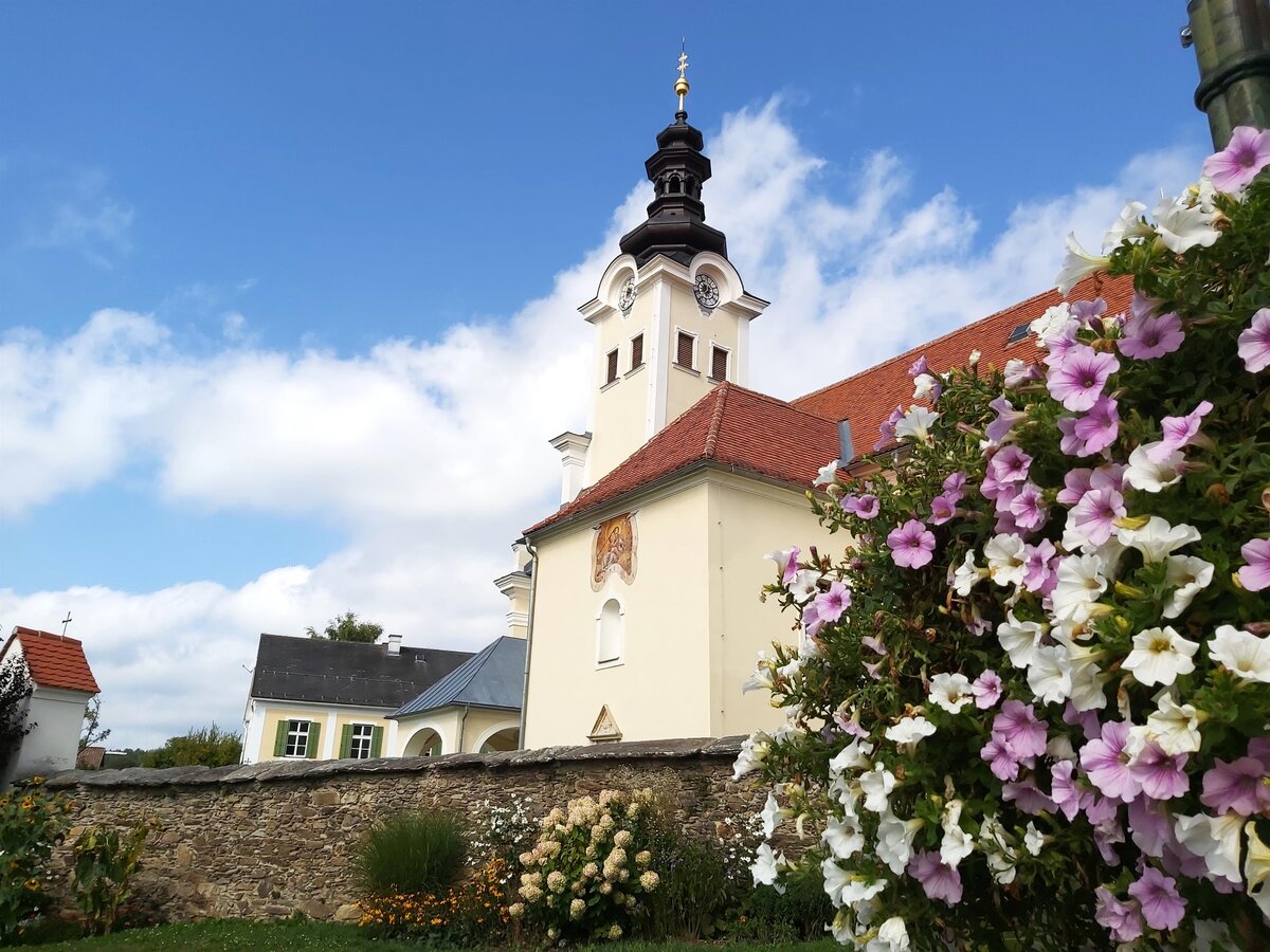
Strallegg_church_flower_decorations_Strallegg_Eastern Styria | © Oststeiermark Tourismus | Christa Pollhammer
3/5
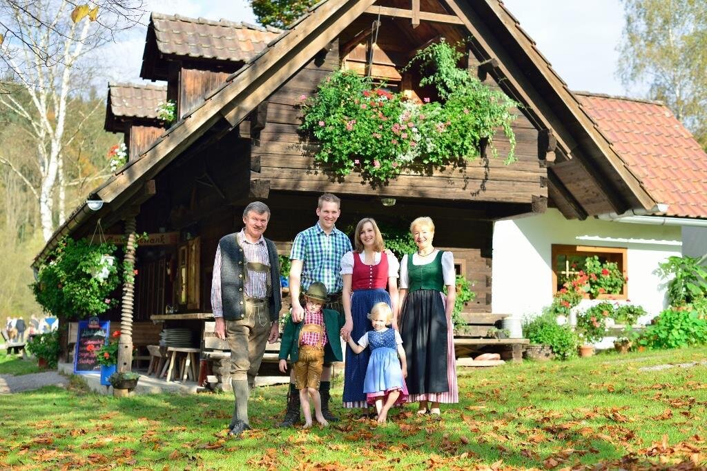
Joglland lakecottage_family_Eastern Styria | © Joglland Seehütte | Kurt Elmleitner
4/5
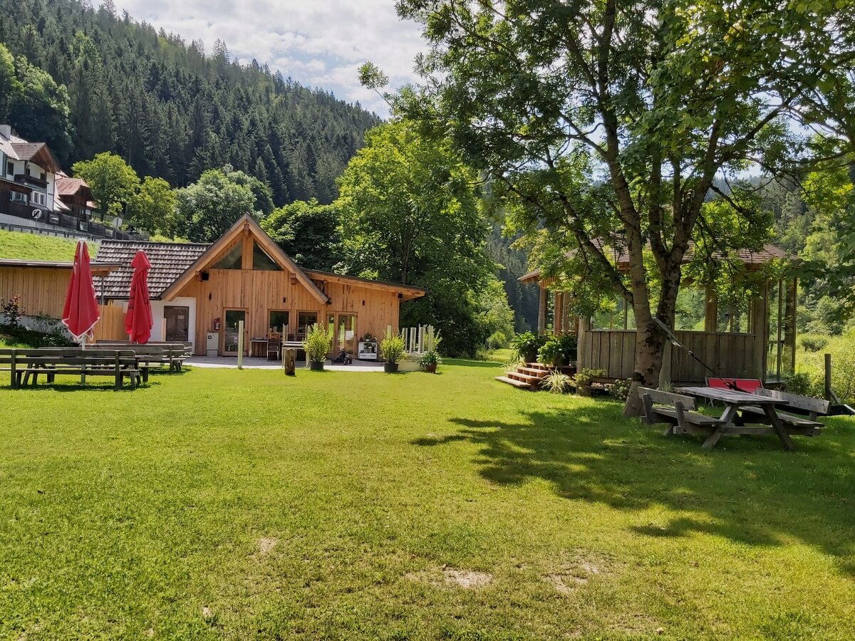
Feistritz Valley Cycle Path Lake Hut1_Birkfeld_Eastern Styria | © Oststeiermark Tourismus | Pollhammer
5/5

What the weather will be like Strallegg (849m)
Today, 24.09.2026
Dry and fair in the early morning, then variable with frequent showers.Morning

8°C
sr.Regenwahrscheinlichkeit
0%
sr.Windstärke
10 km/h
Noon

13°C
sr.Regenwahrscheinlichkeit
60%
sr.Windstärke
10 km/h
Night
9°C
sr.Regenwahrscheinlichkeit
85%
sr.Windstärke
10 km/h
Tomorrow, 25.09.2026
Morning clouds will clear gradually. Then frequent sunny periods.Morning

6°C
sr.Regenwahrscheinlichkeit
5%
sr.Windstärke
5 km/h
Noon

13°C
sr.Regenwahrscheinlichkeit
0%
sr.Windstärke
5 km/h
Night
9°C
sr.Regenwahrscheinlichkeit
0%
sr.Windstärke
0 km/h
Forecast
26.09.2026

6°C
17°C
27.09.2026
7°C
18°C
28.09.2026
9°C
19°C
