


Over the Masenberg into the Almenland: From Grafendorf to Frohnleiten
Characteristics
SkillThe tour in numbers
Level of difficulty
medium
Route
92,0 km
Time
29:00 h
Uphill
3600 hm
Downhill
3650 hm
Highest point
1277 m
Grafendorf - Masenberg - Pöllau - Rabenwald - Anger -
Zetz - St. Kathrein a. O. - Passail - Frohnleiten
Discover breathtaking viewpoints, unique natural sites, cultural attractions, and other highlights along the way.
- Grafendorf near Hartberg
- Masenberg Summit with the Chapel of Happiness
- Masen.Berg—Your Forest Adventure
- Pöllauberg Pilgrimage Church
- Pöllau, including Pöllau Castle and the parish church
- Rabenwaldkogel Summit
- Anger, featuring a historic town center and parish church
- Rauchstubenhaus Anger
- St. Kathrein am Offenegg
- Passail
- Fladnitz an der Teichalm
- Frohnleiten with its historic old town and the banks of the Mur River
Best season
January
February
March
April
May
June
July
August
September
October
November
December
More information
You can get there and back using public transportation. For more information, see the BusBahnBim route planner.
The hike connects the Burgenland border region across the nature parks of Eastern Styria to the Mur Valley. From Grafendorf, the route leads over the Masenberg through the
Pöllauer Tal Nature Park to the Rabenwaldkogel and thus to the highest peaks in the region. It continues via Anger and to the Zetz, one of the Almenland’s most striking mountains offering panoramic views. Passing through St. Kathrein am Offenegg and the Passail Basin on the way to Fladnitz, the trail finally leads over the Fragnerberg and Hochtrötsch to Frohnleiten.
32
Pöllauer Tal Nature Park to the Rabenwaldkogel and thus to the highest peaks in the region. It continues via Anger and to the Zetz, one of the Almenland’s most striking mountains offering panoramic views. Passing through St. Kathrein am Offenegg and the Passail Basin on the way to Fladnitz, the trail finally leads over the Fragnerberg and Hochtrötsch to Frohnleiten.
32
- Well-broken-in hiking boots
- Backpack (20–35 liters) with rain cover
- Layered clothing
- Rain jacket / weather protection
- Plenty of fluids (1.5–2 liters or more)
- Snacks (nuts, energy bars)
- GPS and/or cell phone (charged)
- Paper map
- First-aid kit (including blister bandages)
- Sun protection (cap, hat, sunscreen, sunglasses)
- Headlamp or flashlight
- Plan your stages in advance and book your accommodations well in advance so you can enjoy your hike in a relaxed and stress-free manner.
- Stay on marked trails. If you can no longer find any markings, turn back and reorient yourself using the last marked point.
- The forest belongs to someone, too! Respect barriers and follow instructions.
- Adjust your pace. Walking too fast leads to premature exhaustion.
- Please let other nature enthusiasts pass safely
- Please avoid the forest at dusk.
- Please close gates and barriers behind you.
- Please walk dogs only on the trails and keep them on a leash (except in dangerous situations).
- Please do not make noise.
- Please do not pick plants.
- Please do not feed the animals.
- Please take your trash with you.
Map & downloads
Gallery
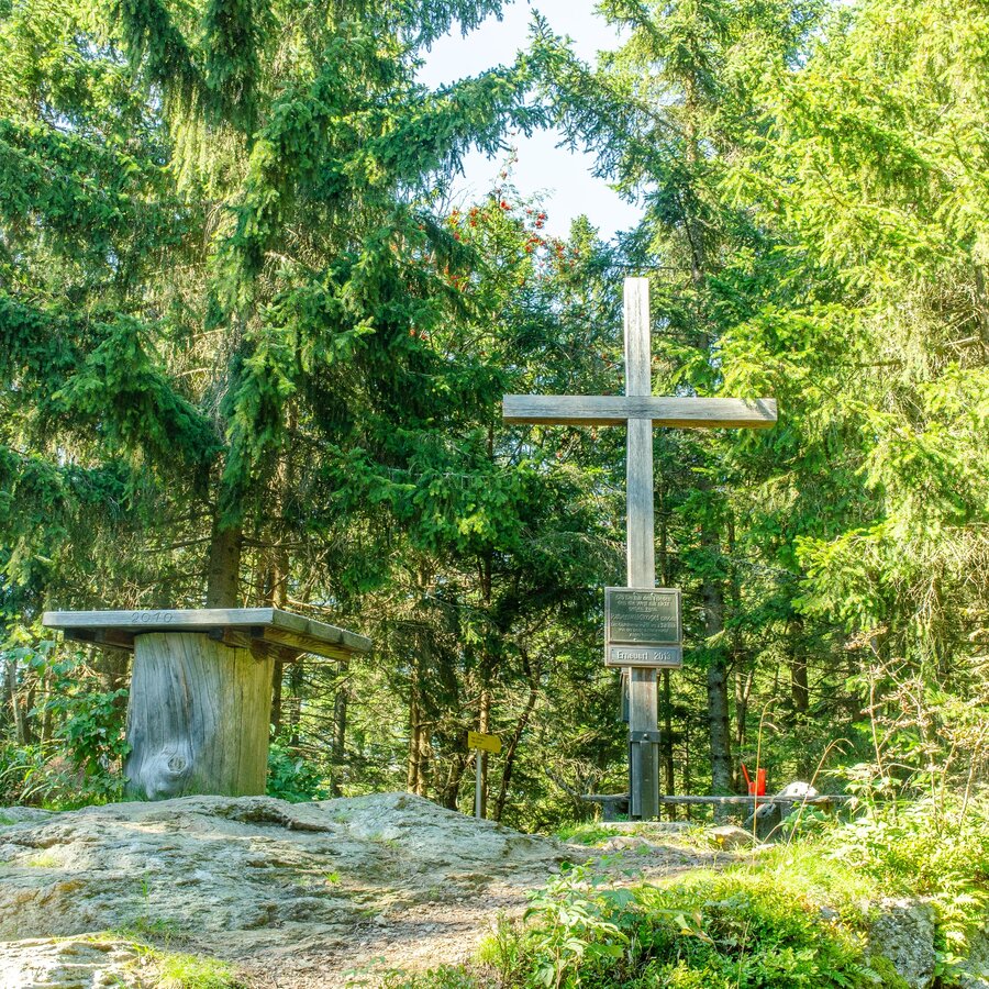
Summit cross Rabenwaldkogel_NUP Pöllauer Tal_Eastern Styria | © Oststeiermark Tourismus | Helmut Schweighofer
1/10
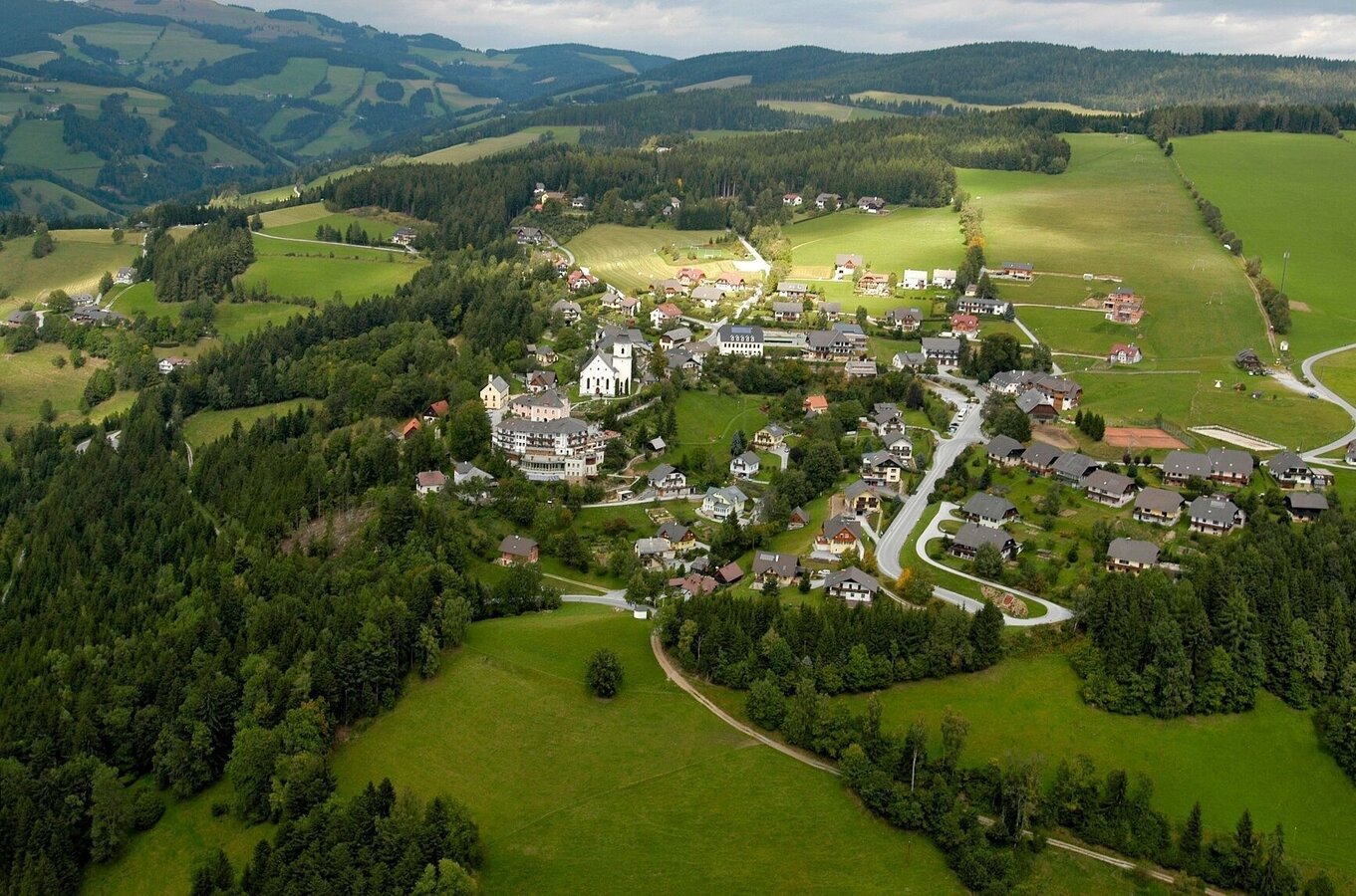
St. Kathrein am Offenegg, Naturpark Almenland in der Oststeiermark | © Oststeiermark Tourismus | Bernhard Bergmann
2/10
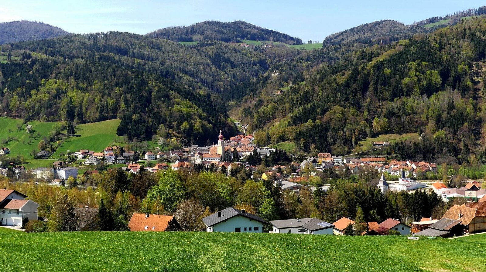
View of the village from above_ Anger_Eastern Styria | © Marktgemeinde Anger | Robert Hahn
3/10
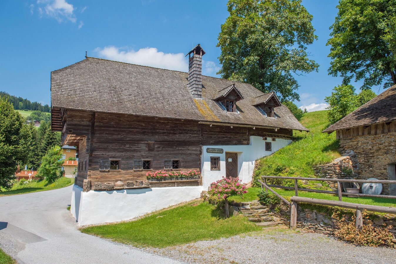
Smokehouse_exterior view_Eastern Styria | © Oststeiermark Tourismus | Helmut Schweighofer
4/10
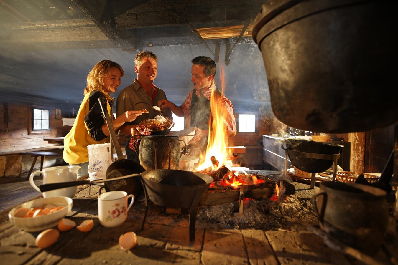
Smoke house_open fire_Eastern Styria | © Rauchstubenhaus | Bernhard Bergmann
5/10
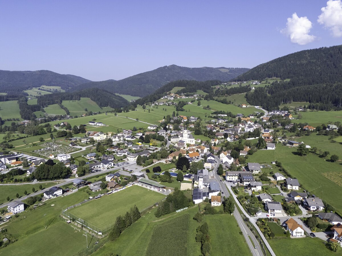
Fladnitz/T._Eastern Styria_Kurt Elmleitner | © Tourismusverband Oststeiermark | Kurt Elmleitner
6/10
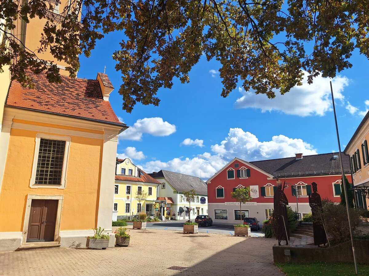
Municipality of Grafendorf near Hartberg_Eastern Styria | © Gemeinde Grafendorf bei Hartberg | Erika Grill
7/10
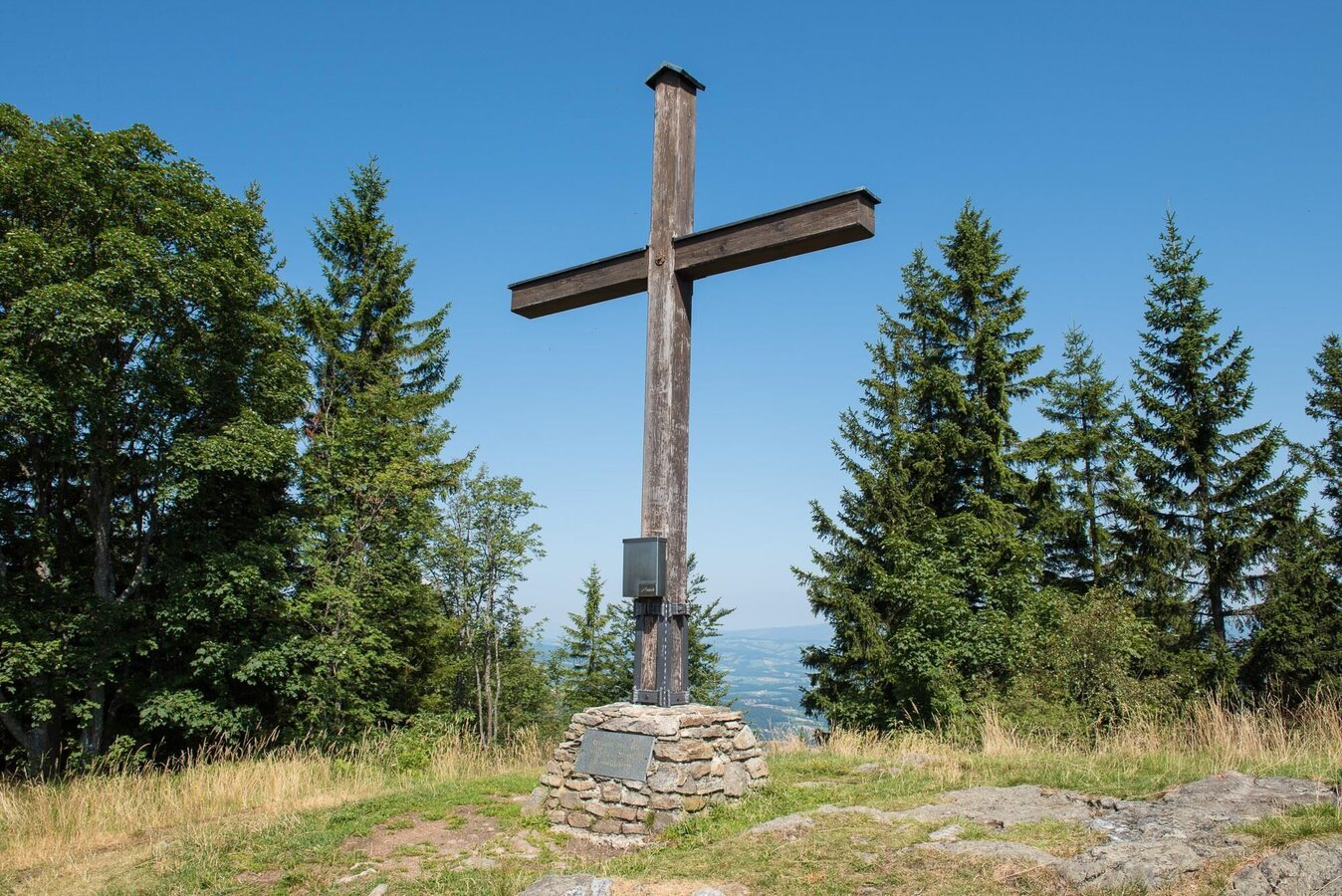
Masenberg summit cross_NUP Pöllauer Tal_Eastern Styria | © Oststeiermark Tourismus | Helmut Schweighofer
8/10
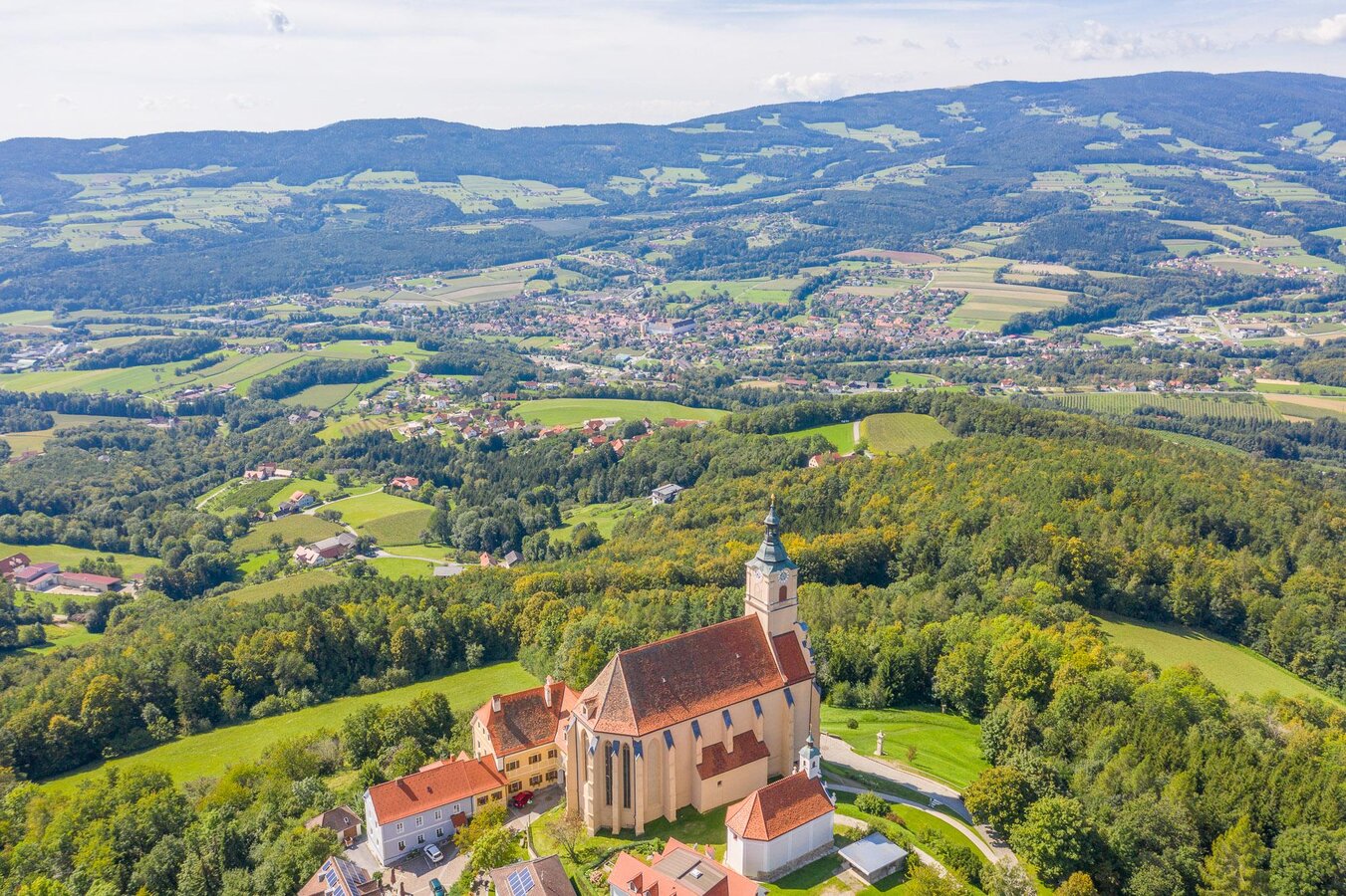
Pilgrimage church_aerial view_Eastern Styria | © Helmut Schweighofer
9/10
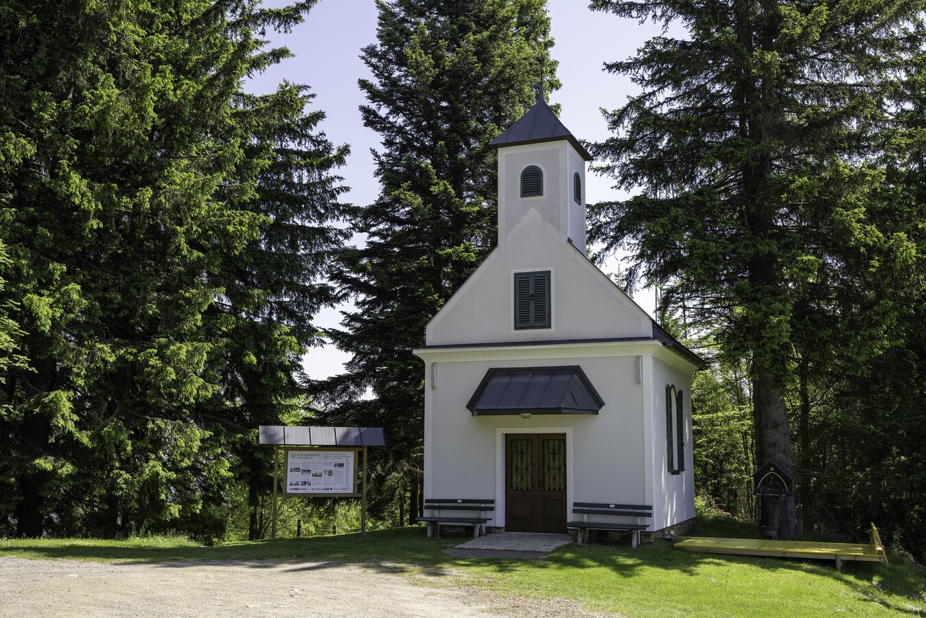
Chapel of happiness on the Masenberg_Eastern Styria | © Kurt Elmleitner
10/10

What the weather will be like Grafendorf bei Hartberg (382m)
Today, 26.10.2026
Dry and partly sunny throughout the day, with cloudy periods from time to time.Morning

4°C
sr.Regenwahrscheinlichkeit
15%
sr.Windstärke
10 km/h
Noon

12°C
sr.Regenwahrscheinlichkeit
5%
sr.Windstärke
5 km/h
Night
6°C
sr.Regenwahrscheinlichkeit
0%
sr.Windstärke
5 km/h
Tomorrow, 27.10.2026
Dry and sunny throughout the day with hardly any clouds.Morning

1°C
sr.Regenwahrscheinlichkeit
0%
sr.Windstärke
0 km/h
Noon
13°C
sr.Regenwahrscheinlichkeit
0%
sr.Windstärke
5 km/h
Night
4°C
sr.Regenwahrscheinlichkeit
0%
sr.Windstärke
5 km/h
Forecast
28.10.2026
-1°C
13°C
29.10.2026
4°C
14°C
30.10.2026
3°C
14°C
