


HWW-Hiking route: over the Hartberg
Characteristics
SkillThe tour in numbers
Level of difficulty
easy
Route
5,9 km
Time
1:37 h
Uphill
279 hm
Downhill
178 hm
Highest point
883 m
This HWW hiking route is part of the Wechselland Historical Long-Distance Hiking Trail (HWW), which tells the story of Wechselland along more than 100 HWW stations. More information can be found at www.wechsel-wandern.at.
This HWW hiking route crosses the Hartberg. The Wechselpass was originally located on the Hartberg, an elevation of around 900 meters. At the Spital am Hartberg HWW station, you can find out the background to this once important route.
Best season
January
February
March
April
May
June
July
August
September
October
November
December
More information
Arrival by car
- Drive along the A2 highway to the Zöbern exit.
- Then follow the signs to Zöbern.
- After the bridge, turn right towards Guggendorf.
The tour is not signposted throughout. Route guidance with app recommended.
Important telephone numbers:
Correct behaviour when hiking: Rules of behaviour when hiking
A few tips on correct and fair behaviour in the forest: (Source: https://www.bundesforste.at/english.html)
- European emergency call: 112
- Emergency call mountain rescue: 140 (if possible, please provide GPS data)
- Rescue: 144
- Fire brigade: 122
- Police: 133
Correct behaviour when hiking: Rules of behaviour when hiking
A few tips on correct and fair behaviour in the forest: (Source: https://www.bundesforste.at/english.html)
- Hikers should avoid visiting the forest approx. 1.5 hours before sunrise and after sunset, as wild animals are particularly active at this time.
- Plastic bottles, handkerchiefs, cigarette butts etc. have no place in the forest! Please make sure that you do not leave any rubbish in the forest.
- Camping and making fires is strictly forbidden in the forest!
- In principle, every person in the forest is allowed to collect 2kg of mushrooms and berries per day for their own use. It is only prohibited if the forest owner expressly forbids it.
- small rucksack with water bottle (+ provisions)
- Sturdy shoes
- Appropriate clothing - preferably several layers - "onion principle"
- Rain and sun protection
- Hiking poles as required
- Mobile phone
- Small first aid kit
- Route description
Timetables and travel information can be found at Österreichischen Bundesbahnen (ÖBB) or at Verkehrsauskunft Verbundlinie.
For local transportation we recommend the SAM-Sammeltaxi Oststeiermark.
For local transportation we recommend the SAM-Sammeltaxi Oststeiermark.
Historical long-distance hiking trail Wechselland
www.wechsel-wandern.at
Historical Association Wechselland
Chairman Dr. Andreas Salmhofer
Tel.: +43 664/400 27 17
info@geschichte-wechselland.at
www.wechsel-wandern.at
Historical Association Wechselland
Chairman Dr. Andreas Salmhofer
Tel.: +43 664/400 27 17
info@geschichte-wechselland.at
www.geschichte-wechselland.at
Find out about hiking maps, cycling maps, excursion destination maps and other tour tips at the tourist office.
You can also order information material on our website from the comfort of your own home.
Eastern Styria Tourist Board
Herbal Region Wechselland office
Main square 20, 8240 Friedberg
Tel.: +43 3339/25110-19
wechselland@oststeiermark.com
www.oststeiermark.com
Find out about hiking maps, cycling maps, excursion destination maps and other tour tips at the tourist office.
You can also order information material on our website from the comfort of your own home.
Eastern Styria Tourist Board
Herbal Region Wechselland office
Main square 20, 8240 Friedberg
Tel.: +43 3339/25110-19
wechselland@oststeiermark.com
www.oststeiermark.com
Map & downloads
Gallery
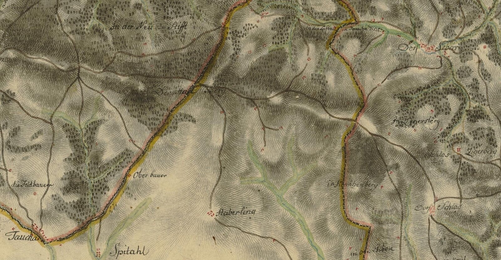
Historic long-distance hiking trail Wechselland | © Historischer Verein Wechselland | Andreas Salmhofer
1/3
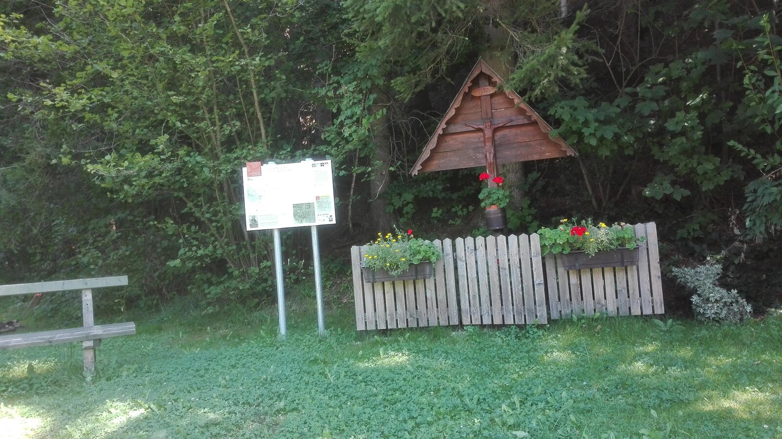
HWW station: Spital am Hartberg | © Historischer Verein Wechselland - Dr. Andreas Salmhofer
2/3
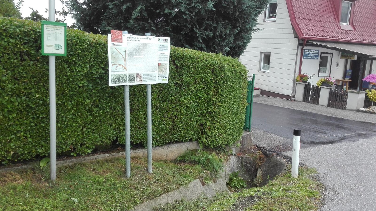
HWW-Station: Schuh-Wirt | © Historischer Verein Wechselland - Dr. Andreas Salmhofer
3/3
