


Admont - Hahnstein - Admonter Kalbling - Klinkehütte - Mödlingerhütte - Johnsbach
Characteristics
SkillThe tour in numbers
Level of difficulty
challenging
Route
21,0 km
Time
12:30 h
Uphill
1932 hm
Downhill
1769 hm
Highest point
2057 m
Challenging mountain tour with up to 3 stages depending on your condition
A long and challenging tour leads from Admont to Johnsbach, crossing the summits of Kreuzkogel and Riffel, and passing by the Klinke Hut and the Mödlinger Hut. Those who wish can also include Sparafeld and the Admont Kalbling.
Best season
January
February
March
April
May
June
July
August
September
October
November
December
More information
Start at the TV National Park Gesäuse - or from the Kaiserau, via a toll road from the Klinke Hut (halving of the distance, without ascent via the Admonter Kalbling) - total length to Oberst Klinke Hut approx. 11.5 km, from Oberst Klinke Hut up to and including Johnsbach another good 11 km should be considered.
Behind the community of Admont, monastery car park Kloster Admont - Kaiserau car park - Klinke Hütte car park
Behind the community of Admont, monastery car park Kloster Admont - Kaiserau car park - Klinke Hütte car park
Through the Kematengraben you first go up to the Scheiblegger Hochalm at 1,660 m.
Before the Kreuzkogel is climbed (2,011), you can take a detour to the Hahnstein (1,697 m).
From the Kreuzkogel the trail continues along a high trail to the Riffel (2,106 m).
An insider tip is the Sparafeld, from where you can look directly over to the Admonter Reichenstein.
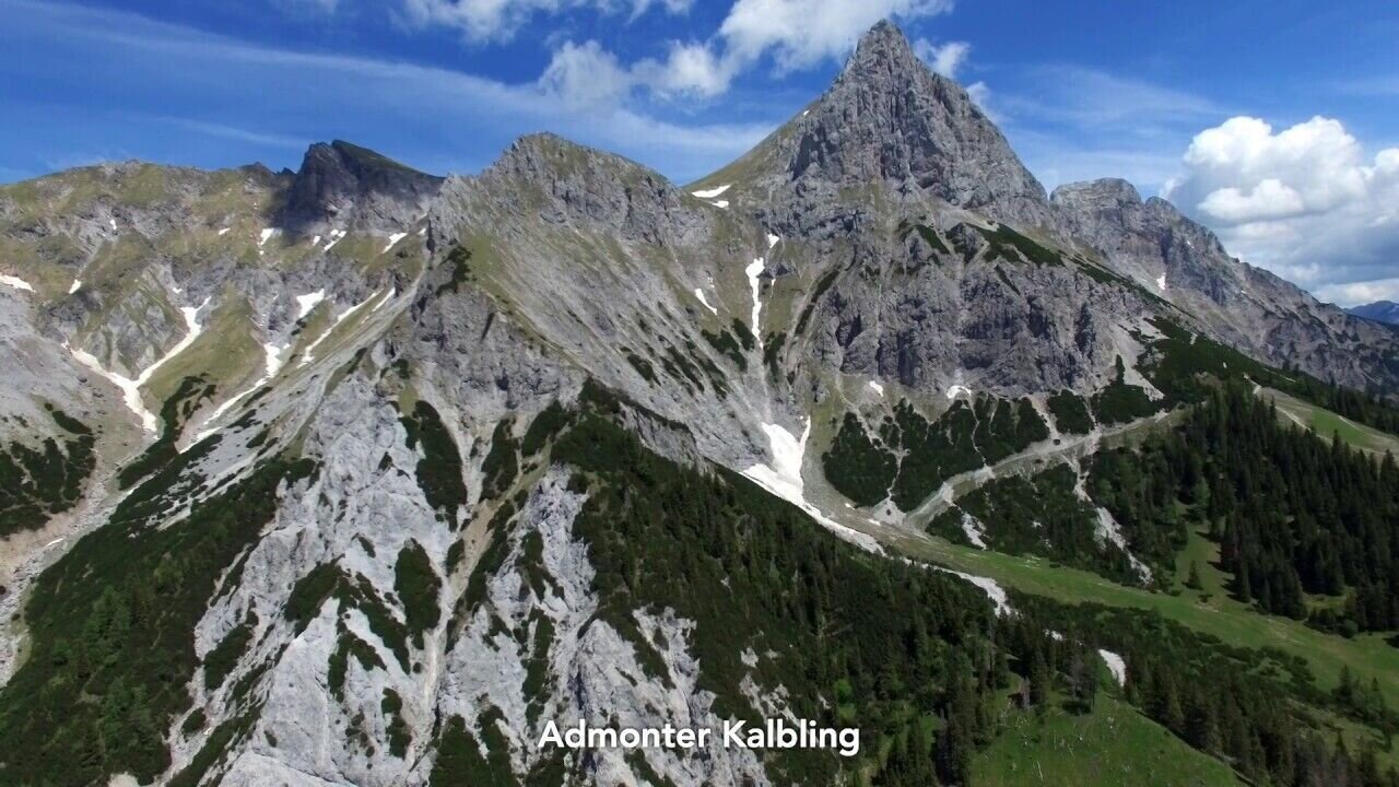
From the Riffel there is still the Admonter Kalbling (2,196 m) to climb. From here descent to the Oberts Klinke hut, overnight stay!
A beautiful hiking tour full of motives leads to the Mödlinger Huttette, until Johnsbach.
Sturdy hiking boots or good trekking shoes
Hiking backpack
Water bottle
First aid kit including blister plasters
Hiking map and smartphone
Snacks
Sunglasses
Sunscreen
You should also be well prepared for changeable weather.
Packing your backpack correctly makes things much easier:
Pack heavy items first. Your water bottle should always be easily accessible in a side pocket. Everything you need frequently, such as sunglasses, your smartphone, or hiking map, should be packed on top.
Hiking backpack
Water bottle
First aid kit including blister plasters
Hiking map and smartphone
Snacks
Sunglasses
Sunscreen
You should also be well prepared for changeable weather.
Packing your backpack correctly makes things much easier:
Pack heavy items first. Your water bottle should always be easily accessible in a side pocket. Everything you need frequently, such as sunglasses, your smartphone, or hiking map, should be packed on top.
www.oebb.at
www.busbahnbim.at
With the Verbundlinie BusBahnBim app, finding timetable information has never been easier: all bus, train, and tram connections in Austria can be searched for by entering locations and/or addresses, stops, or important points. The app is available as a free app for smartphones (Android, iOS) on Google Play and in the App Store.
In the Gesäuse you are mobile in summer even without your own car. One call to t: +43 3613 2100099 is all it takes: During operating hours, the Gesäuse shared taxi will take you to any destination in the Gesäuse - without any timetable or stops. Www.gesaeuse.at/mobil
Gesäuse Tourism Association
Hauptstraße 35, 8911 Admont, Austria
Tel. +43 (0) 3613 21160 10
Email: info@gesaeuse.at
www.gesaeuse.a
Map & downloads
Gallery
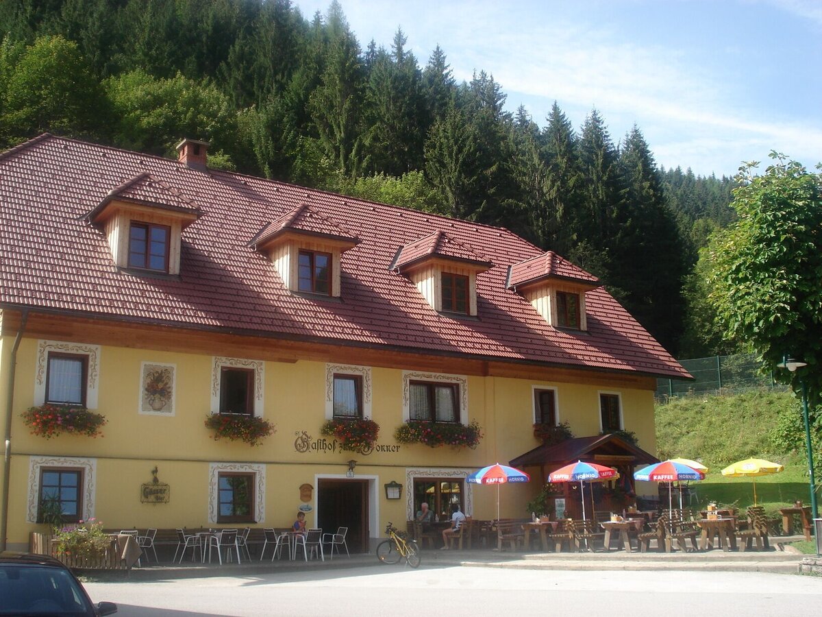
Gasthof Donner | © TV Gesäuse
1/11
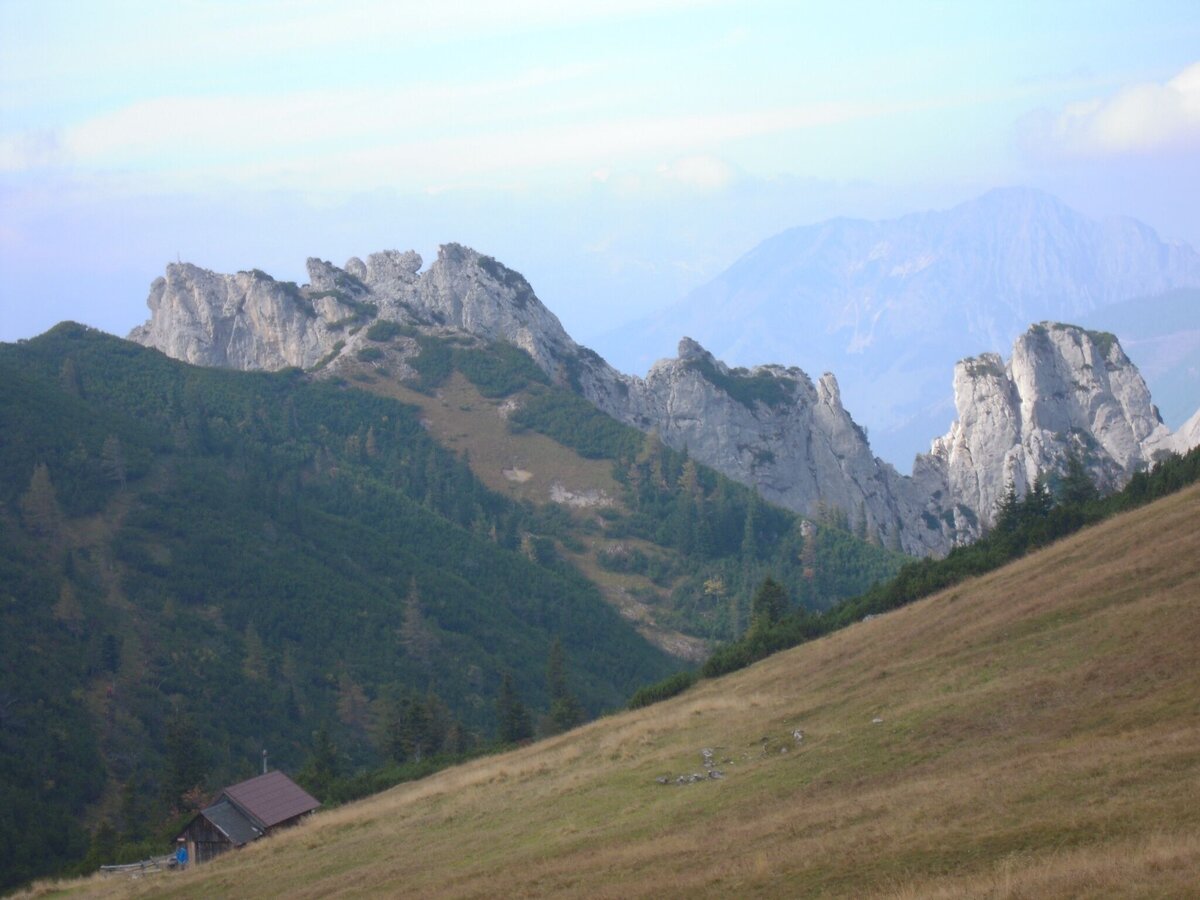
Hahnstein mit Scheiblegger Hochalm | © TV Gesäuse | Tourismusverband Gesäuse
2/11
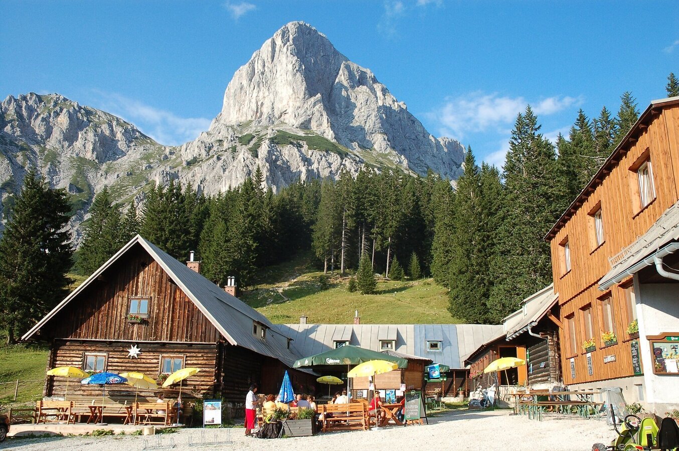
Oberst Klinke Hütte mit Admonter Kalbling | © TV Gesäuse | Tourismusverband Gesäuse
3/11
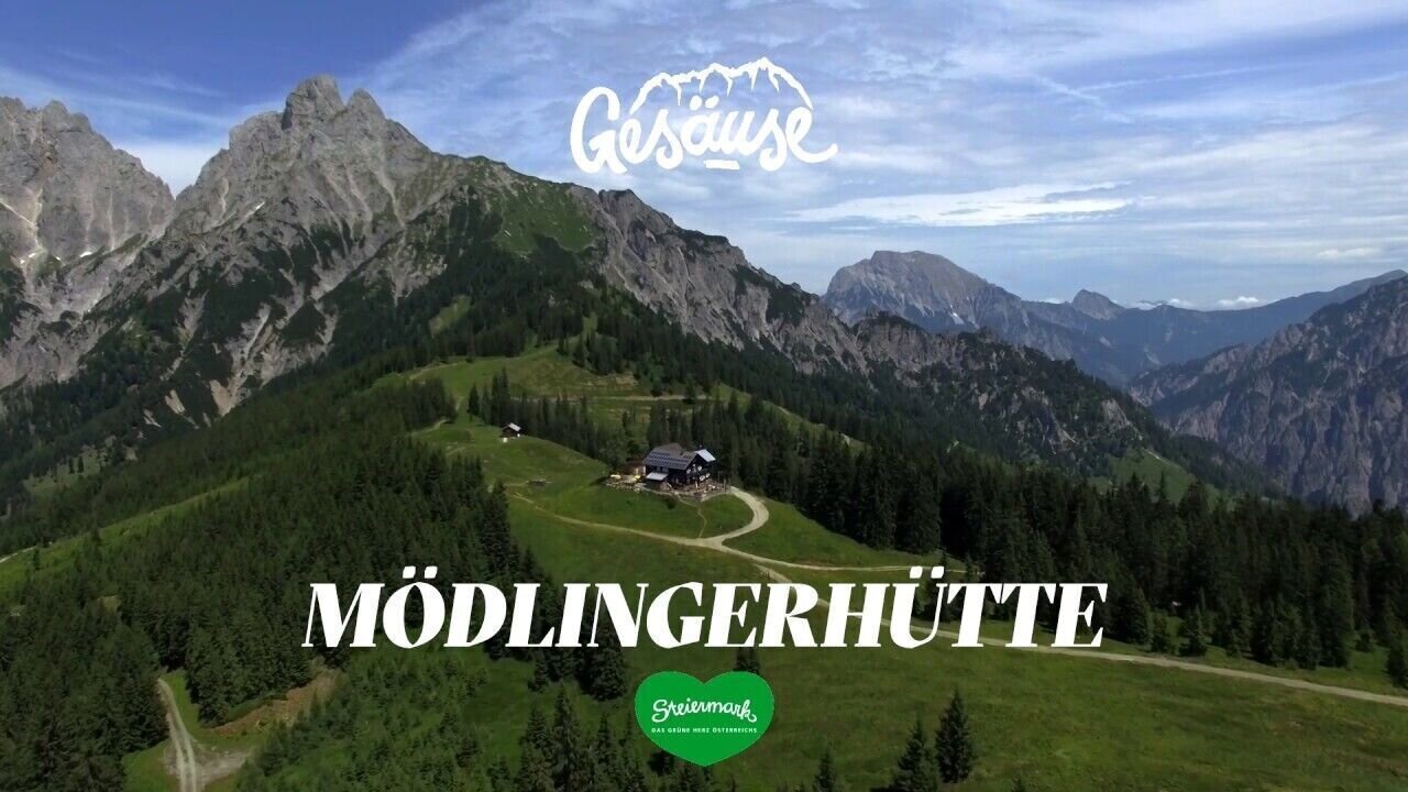
Hütten im Gesäuse | Mödlinger Hütte | © Tourismusverband Gesäuse
4/11
Hütten im Gesäuse | Klinkehütte | © Tourismusverband Gesäuse
5/11
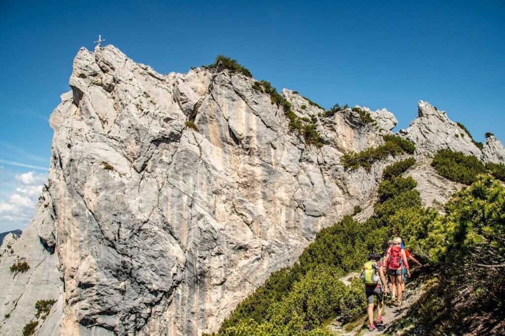
Hahnstein Gipfel | © TV Gesäuse | Tourismusverband Gesäuse
6/11
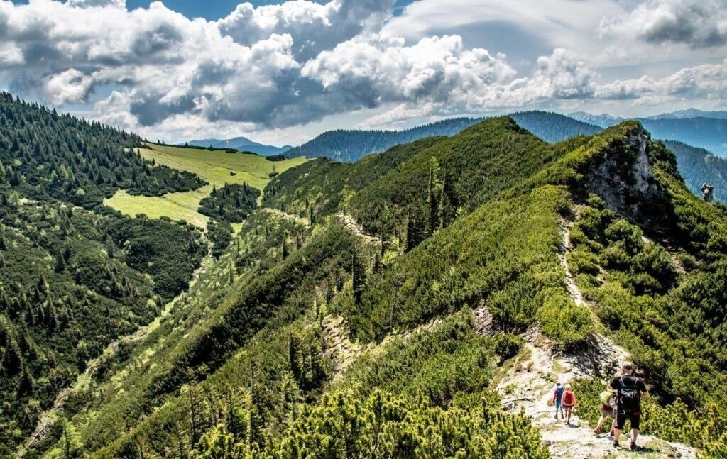
blick auf die Scheibblegerhochalm | © TV Gesäuse | Tourismusverband Gesäuse
7/11
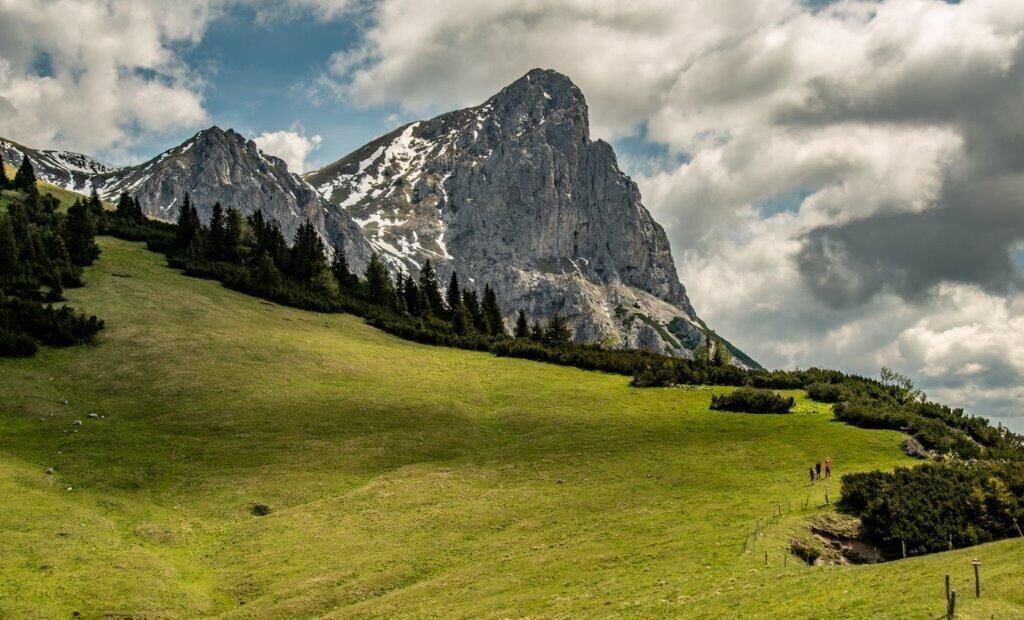
SCheibleggerhochalm | © TV Gesäuse | Tourismusverband Gesäuse
8/11
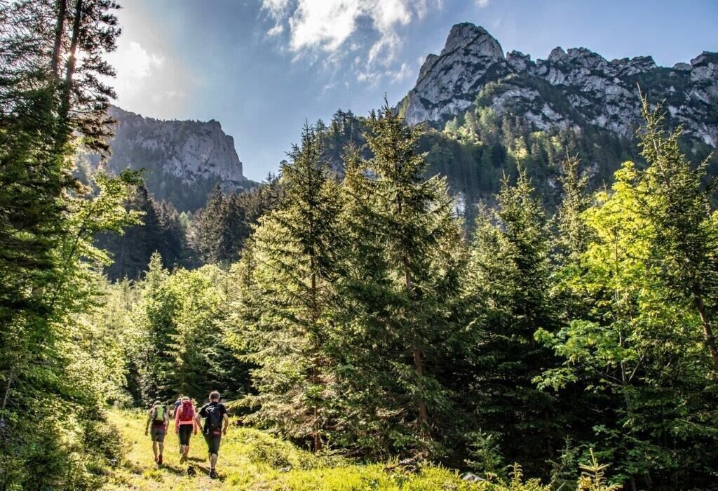
anstieg zum Hahnstein | © TV Gesäuse | Tourismusverband Gesäuse
9/11
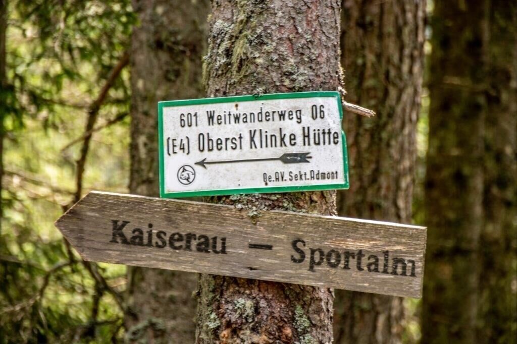
am weg zur KlinkeHütte | © TV Gesäuse | Tourismusverband Gesäuse
10/11
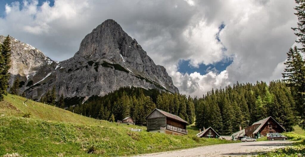
Klinkehütte | © TV Gesäuse | Tourismusverband Gesäuse
11/11

What the weather will be like Admont (635m)
Today, 16.10.2026
Dry and sunny throughout the day with hardly any clouds.Morning

5°C
sr.Regenwahrscheinlichkeit
0%
sr.Windstärke
5 km/h
Noon
15°C
sr.Regenwahrscheinlichkeit
0%
sr.Windstärke
0 km/h
Night
8°C
sr.Regenwahrscheinlichkeit
0%
sr.Windstärke
0 km/h
Tomorrow, 17.10.2026
Sunny and cloudy periods will alternate throughout the day.Morning

5°C
sr.Regenwahrscheinlichkeit
0%
sr.Windstärke
0 km/h
Noon
15°C
sr.Regenwahrscheinlichkeit
0%
sr.Windstärke
0 km/h
Night
11°C
sr.Regenwahrscheinlichkeit
15%
sr.Windstärke
5 km/h
Forecast
18.10.2026

6°C
17°C
19.10.2026
5°C
17°C
20.10.2026
6°C
17°C
