


Zinödlberg - The inconspicuous one in the shadow of the great ones
Characteristics
FitnessThe tour in numbers
Level of difficulty
medium
Route
15,8 km
Time
7:10 h
Uphill
920 hm
Downhill
923 hm
Highest point
1281 m
The Zinödlberg is a peak for all seasons! The summit plateau offers a special panorama stretching from the northern side of the Buchstein Group over the Steirische Eisenwurzen Nature and Geopark to the Alpine foothills.
The seemingly inconspicuous mountain above the town of St.Gallen is only 1293m high, but its summit plateau offers a special flair.
Several ascents are possible, whereby we would like to present the tour around the summit starting at Kassegg Castle.
We ascend on forest roads to the Schwarzsattel with its first magnificent view into the Gesäuse. From here we take the Sommersteig trail through the forest to the summit plateau. After a rest at the Zinödlhütte (unmanned), we descend northwards until we reach the forest road on the left, which takes us back to our ascent track. On the descent we keep left through the beautiful Schindlgraben to the main road and back to the starting point.
Translated with www.DeepL.com/Translator (free version)
Best season
January
February
March
April
May
June
July
August
September
October
November
December
More information
From the A9 "Pyhrnautobahn" take exit 67 "Ardning" and continue on the B146 to Ober-Hall. At the roundabout, turn off onto the B117 and continue via Weng im Gesäuse to St. Gallen. Before St.Gallen turn left towards Grossreifling.
Large car park in front of Kassegg Castle
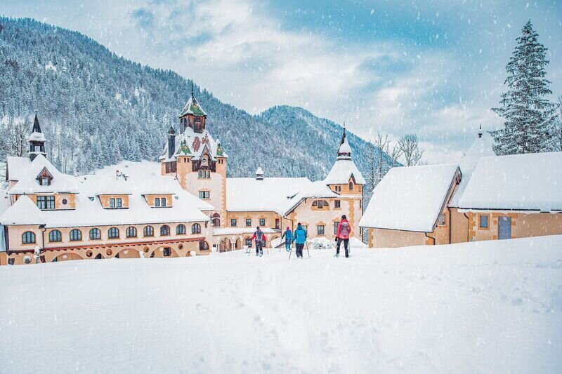
At the highest point at Erbsattel, you will see Kassegg Castle on the right, which is also where we start!
Large car park in front of Kassegg Castle
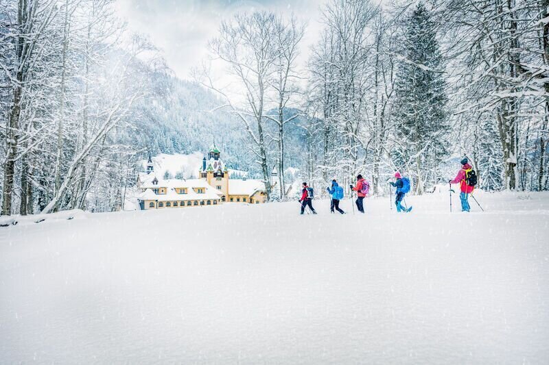
At our starting point, Kassegg Castle, we first return to the main road, where we immediately turn left again at the "Schoberer" and take the forest path in a westerly direction. We climb up to the Schwarzsattel with the first magnificent view of the Gesäuse on forest roads. From here we take the Sommersteig trail through the forest to the summit plateau. After a rest at the Zinödlhütte (unmanaged), we head north down the trail until we turn left at the forest road, which takes us back to our ascent track. On the descent we keep left through the beautiful Schindlgraben to the main road and back to the starting point.
Emergency call mountain rescue: 140
Emergency reporting tip - give answers to the six W-questions: What happened? How many injured? Where did the accident happen (possibly GPS coordinates)? Who reported the accident (call-back number)? When did the accident happen? Weather at the accident site?
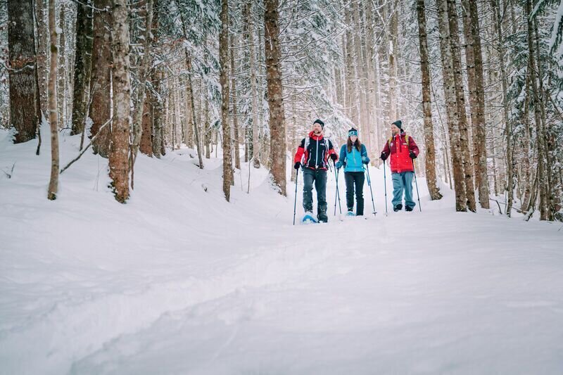
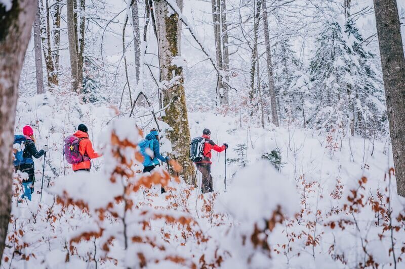
Sturdy mountain boots, hiking rucksack with appropriate contents (water bottle, blister plaster, hiking map, snack, etc.). You should also be well equipped for a change in weather and, of course, snowshoes and poles.Emergency equipment belongs in every backpack!
It is always advisable to dress according to the "onion system"!
The shorter version of the summer hike is also suitable for snowshoe hikers:
By train and bus only as far as St.Gallen
Take the train or bus to Liezen. From there, continue with the Postbus to St. Gallen (bus stop "St. Gallen Hauptplatz").
You can find timetable information under ÖBB and ÖBB Postbus.
Tourismusverband Gesäuse
Hauptstraße 35, 8911 Admont, Österreich
Tel. +43 (0) 3613 21160 10
Email: info@gesaeuse.at
www.gesaeuse.at
Infobüro/Salza Wildalpen
Wildalpen 91 – 8924 Wildalpen
infosalza@gesaeuse.at
carto.at / Wander-, Rad- & Schitourenkarte „Nationalpark Gesäuse“Gesäuseberge – Haller Mauern – Eisenerzer Alpen West, Nr. 801 M 1: 35.000 http://www.carto.at/gesaeuse/Kompass/ Wander-, Fahrrad- & Schitourenkarte „Nationalpark Gesäuse“, Nr. 206 M 1 : 25.000
http://www.kompass.de/touren-und-regionen/wanderkarte/dest/100148-alpenregion-nationalpark-gesaeuse/
Alpenvereinskarte „Gesäuse und Ennstaler Alpen“, Blatt 16, M 1 : 25.000
http://www.freytagberndt.com/shop/9783928777346-alpenvereinskarte-16-ennstaler-alpen-gesaeuse/
Gesäuse WanderatlasMap & downloads
Gallery
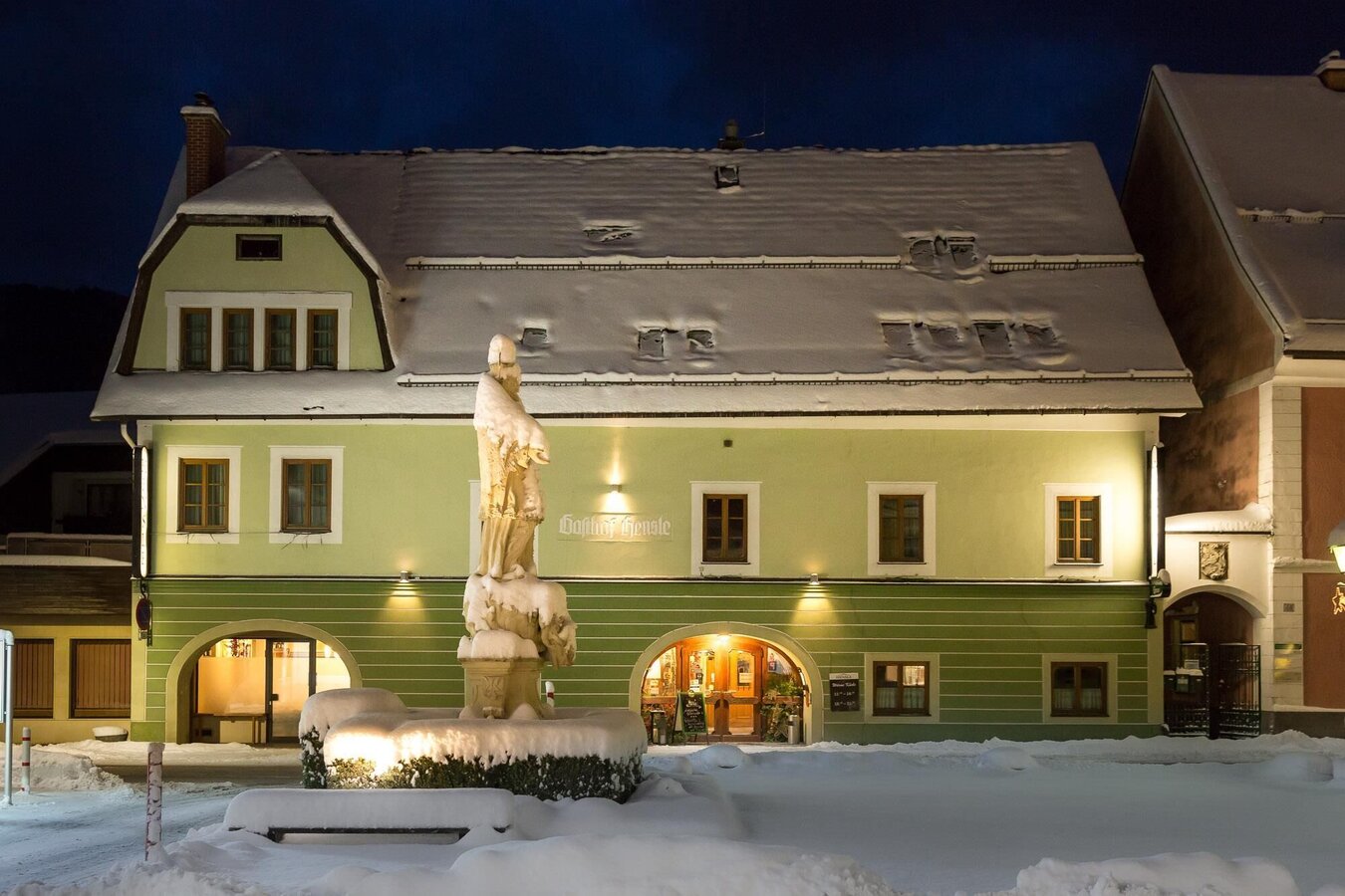
Gasthof Hensle in St.Gallen | © Unbekannt
1/12
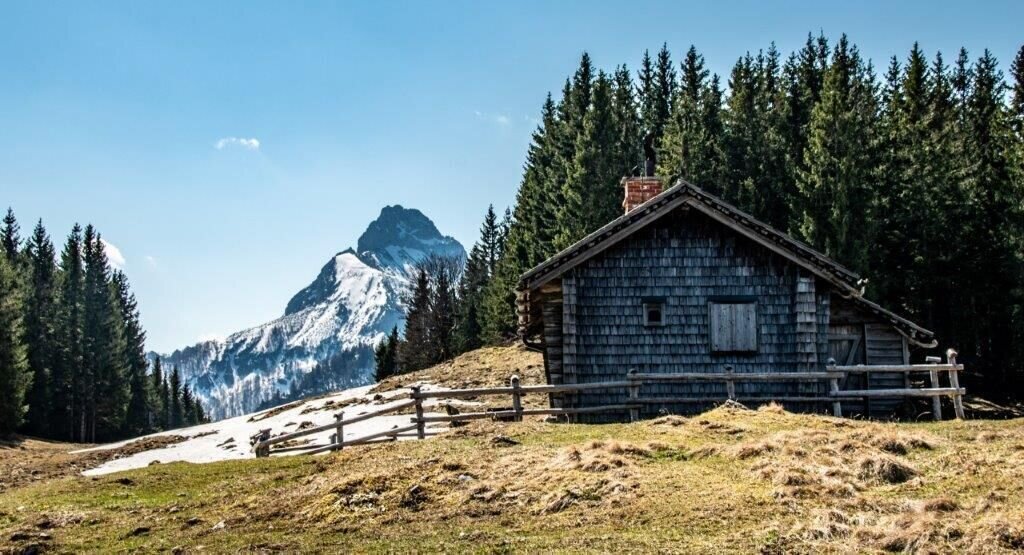
Zinödlhütte mit Blick auf den kl. Buchstein | © TV Gesäuse | Tourismusverband Gesäuse
2/12
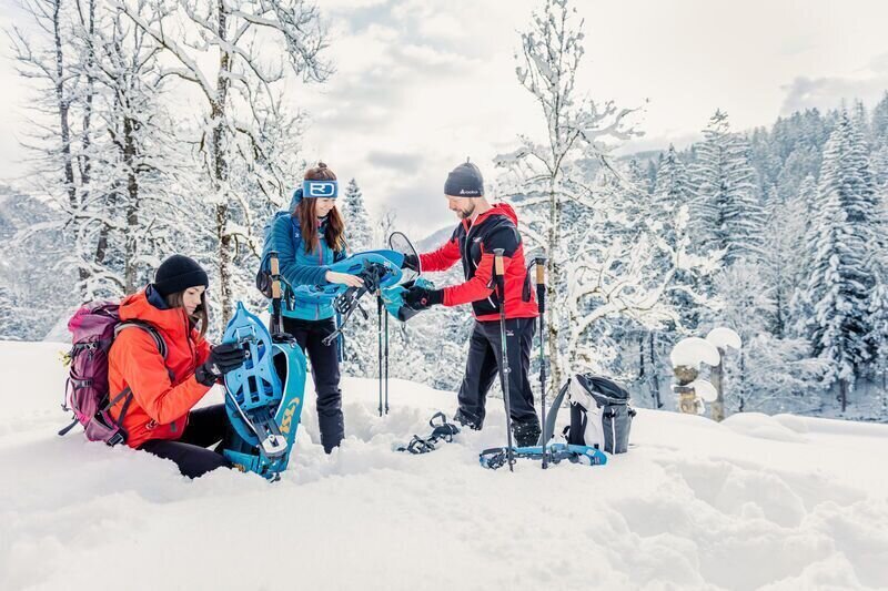
zinödlberg - der unscheinbare im schatten der großen_img_73179325 | © TV Gesäuse | Tourismusverband Gesäuse
3/12
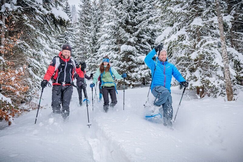
zinödlberg - der unscheinbare im schatten der großen_img_73179326 | © TV Gesäuse | Tourismusverband Gesäuse
4/12
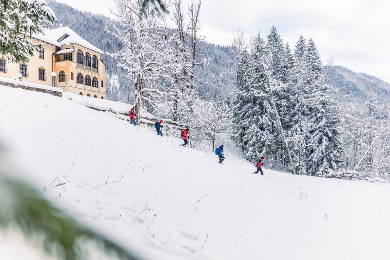
zinödlberg - der unscheinbare im schatten der großen_img_73179327 | © TV Gesäuse | Tourismusverband Gesäuse
5/12
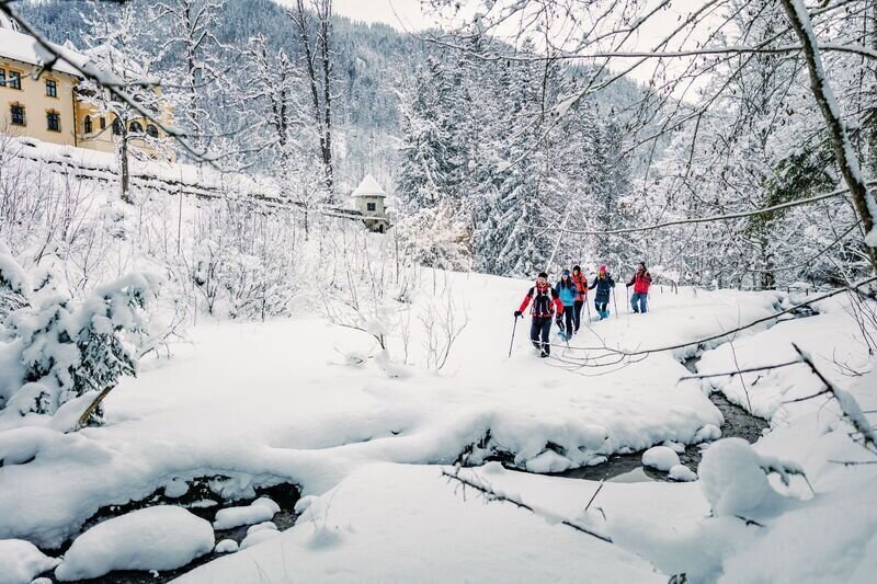
zinödlberg - der unscheinbare im schatten der großen_img_73179328 | © TV Gesäuse | Tourismusverband Gesäuse
6/12
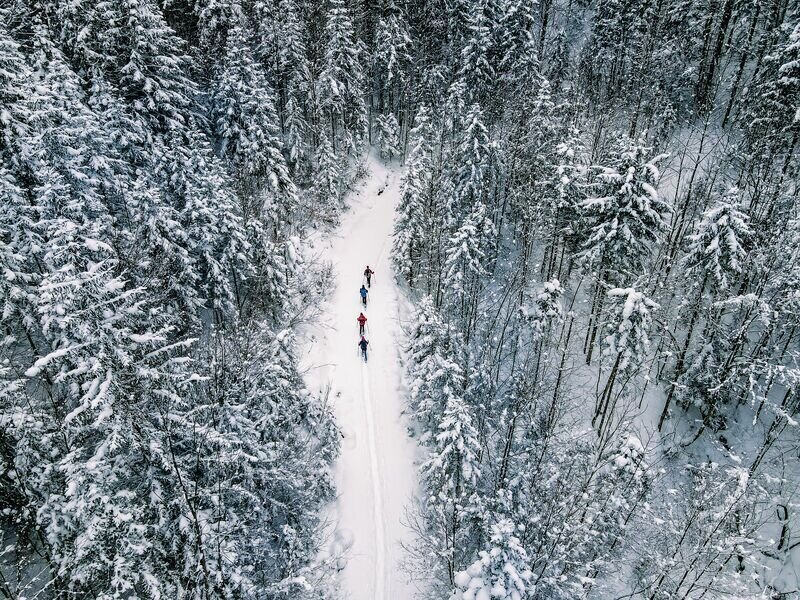
zinödlberg - der unscheinbare im schatten der großen_img_73179329 | © TV Gesäuse | Tourismusverband Gesäuse
7/12
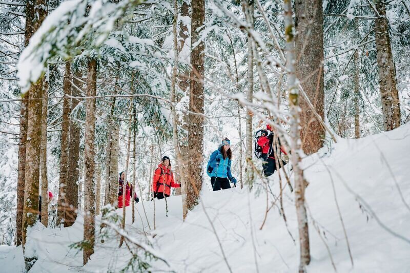
zinödlberg - der unscheinbare im schatten der großen_img_73179330 | © TV Gesäuse | Tourismusverband Gesäuse
8/12
zinödlberg - der unscheinbare im schatten der großen_img_73179331 | © TV Gesäuse | Tourismusverband Gesäuse
9/12
zinödlberg - der unscheinbare im schatten der großen_img_73179332 | © TV Gesäuse | Tourismusverband Gesäuse
10/12
zinödlberg - der unscheinbare im schatten der großen_img_73179333 | © TV Gesäuse | Tourismusverband Gesäuse
11/12
zinödlberg - der unscheinbare im schatten der großen_img_73179334 | © TV Gesäuse | Tourismusverband Gesäuse
12/12

What the weather will be like St. Gallen (509m)
Today, 06.10.2026
Dry and sunny throughout the day with hardly any clouds.Morning

7°C
sr.Regenwahrscheinlichkeit
0%
sr.Windstärke
5 km/h
Noon
20°C
sr.Regenwahrscheinlichkeit
0%
sr.Windstärke
5 km/h
Night
11°C
sr.Regenwahrscheinlichkeit
0%
sr.Windstärke
5 km/h
Tomorrow, 07.10.2026
Dry and sunny throughout the day with hardly any clouds.Morning
4°C
sr.Regenwahrscheinlichkeit
0%
sr.Windstärke
5 km/h
Noon
19°C
sr.Regenwahrscheinlichkeit
0%
sr.Windstärke
5 km/h
Night
12°C
sr.Regenwahrscheinlichkeit
0%
sr.Windstärke
5 km/h
Forecast
08.10.2026

7°C
18°C
09.10.2026

5°C
13°C
10.10.2026

4°C
15°C
