


Zinödlberg Round via Stockingeralm
Accessible by public transport- Public bus (within 15 minutes walking distance from starting point)
Characteristics
FitnessThe tour in numbers
Level of difficulty
medium
Route
12,3 km
Time
4:15 h
Uphill
656 hm
Downhill
649 hm
Highest point
1096 m
Family-friendly mountain hike with panoramic views
varied mountain tour on forest roads and forest paths, Zinödlalm; romantic maple bend, challenging summit at Zinödl
Best season
January
February
March
April
May
June
July
August
September
October
November
December
More information
Buchauer Bundesstraße Nr. 117 bis St. Gallen - Abzweigung Erbsattelstraße kurz vor St.Gallen richtung Zinödlbauer
beim Zinödlbauern
beim Zinödlbauern
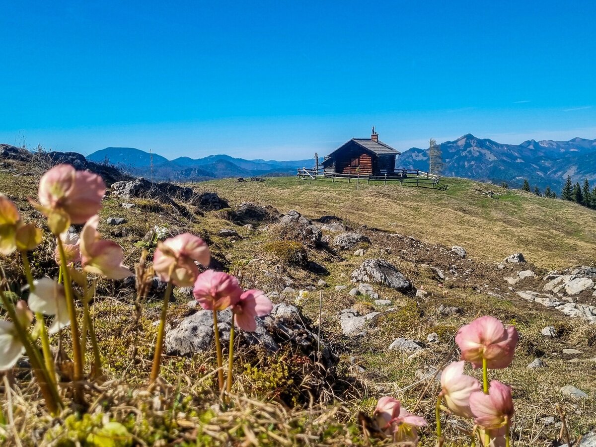
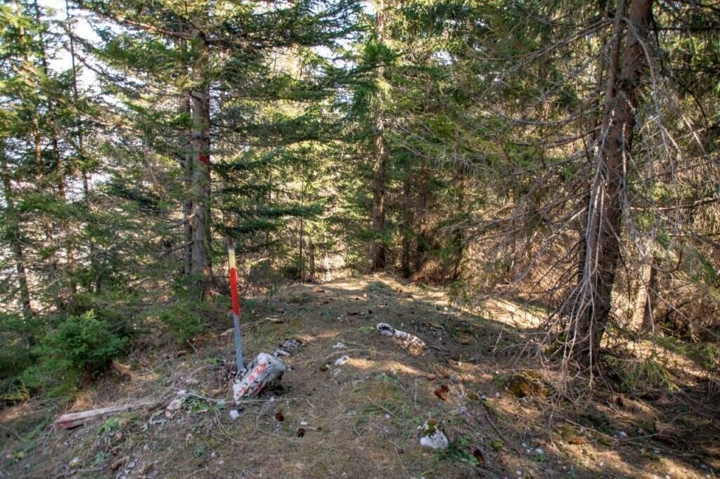
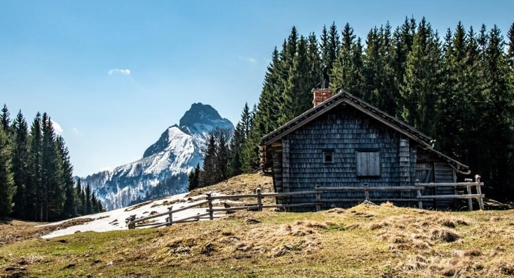
We start at the Zinödl farmer and follow the forest road steadily uphill until shortly before the end of the forest road we meet an inconspicuous path on the right, which we follow on the left side steeper and more sweaty than before on the Grad and from the Grad on we find markings again. up to the Zinödl. The lovely high plateau with the alpine hut, small varnishes and the somewhat hidden summit marble invite you to stay and strengthen yourself.
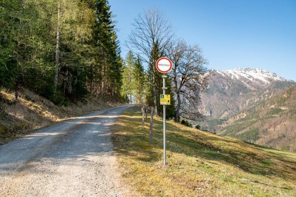
After we have enjoyed the plateau, framed by dark forests, we climb a narrow path down to the Schwarzsattel. Be careful, in wet weather it can be slippery here. Then we meet the forest road and decide to take the forest road to the left towards the maple bend. This romantic place is a hairpin bend with a big maple tree. Following the signs to Stockingeralm, or as in the track, you can descend directly into the ditch after the barrier and the sign for Weidefieh Links. From the Stockingeralm further down the valley, always keeping left on the forest road.
To the starting point
Sturdy hiking boots or good trekking shoes
Hiking backpack
Water bottle
First aid kit including blister plasters
Hiking map and smartphone
Snacks
Sunglasses
Sunscreen
You should also be well prepared for changeable weather.
Packing your backpack correctly makes things much easier:
Pack heavy items first. Your water bottle should always be easily accessible in a side pocket. Everything you need frequently, such as sunglasses, your smartphone, or hiking map, should be packed on top.
Hiking backpack
Water bottle
First aid kit including blister plasters
Hiking map and smartphone
Snacks
Sunglasses
Sunscreen
You should also be well prepared for changeable weather.
Packing your backpack correctly makes things much easier:
Pack heavy items first. Your water bottle should always be easily accessible in a side pocket. Everything you need frequently, such as sunglasses, your smartphone, or hiking map, should be packed on top.
Once a year, when the mountain fair takes place, there is a lot of activity up here. Then the alpine hut is managed and at the summit cross a mass with musical accompaniment is solemnly arranged. You can find out the date from the St. Gallen municipal office.
Visit the water park in St. Gallen - water fun for young and old www.wasserspielpark.at End of August: Festival St. Gallen www.festival.stgallen.at
Postbus Linie 910 Liezen - Altenmarkt, Haltestelle Straßenmeisterei
Gesäuse Tourism Association
Hauptstraße 35, 8911 Admont, Austria
t: +43 3613 2116010
www.gesaeuse.at
Email: info@gesaeuse.at
Hauptstraße 35, 8911 Admont, Austria
t: +43 3613 2116010
www.gesaeuse.at
Email: info@gesaeuse.at
Map & downloads
Gallery
zinoedl-pirringer-1-be.jpg | Barbara Pirringer
1/15
folge den Markierungen dem Grad hinauf | © TV Gesäuse | Tourismusverband Gesäuse
2/15
unser Ziel die Alm | © TV Gesäuse | Tourismusverband Gesäuse
3/15
Startpunkt | © TV Gesäuse | Tourismusverband Gesäuse
4/15
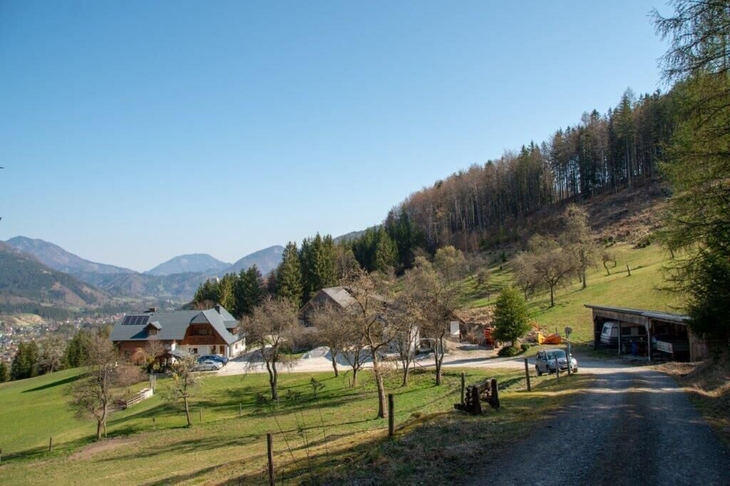
hier Parken wir unser Auto | © TV Gesäuse | Tourismusverband Gesäuse
5/15
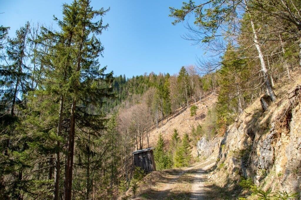
Am Anfang entlang der Forstwege | © TV Gesäuse | Tourismusverband Gesäuse
6/15
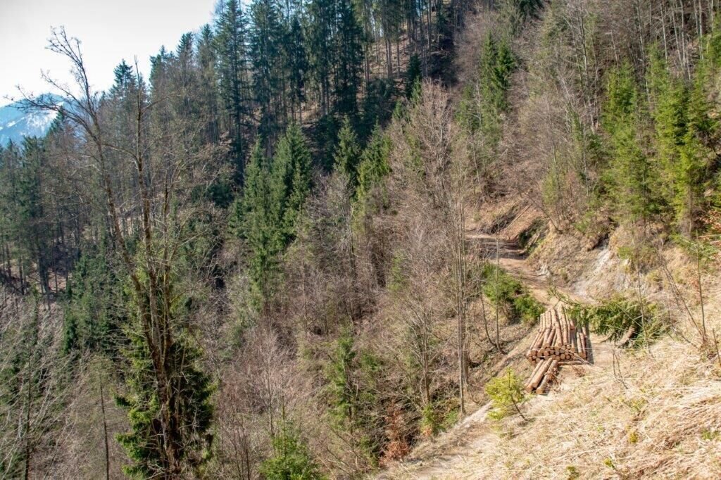
hier verlassen wir den Forstweg | © TV Gesäuse | Tourismusverband Gesäuse
7/15
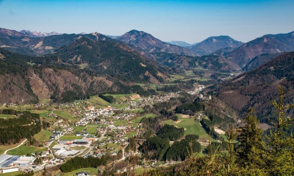
Ausblick auf St.Gakllen | © TV Gesäuse | Tourismusverband Gesäuse
8/15
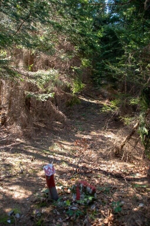
am Grad immer wieder solche Markierungen | © TV Gesäuse | Tourismusverband Gesäuse
9/15
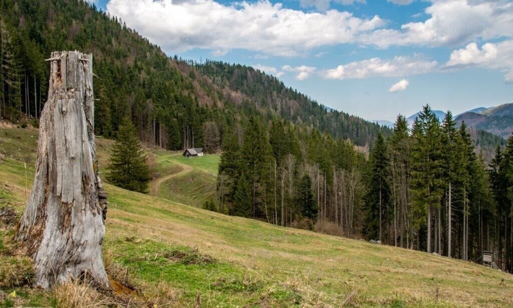
Stockinger Alm | © TV Gesäuse | Tourismusverband Gesäuse
10/15
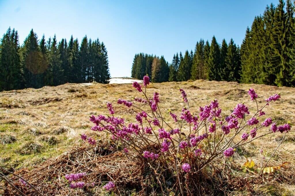
Quer über die Almfläche bis zum Ziel | © TV Gesäuse | Tourismusverband Gesäuse
11/15
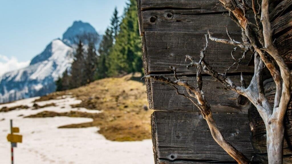
hier gehts weiter | © TV Gesäuse | Tourismusverband Gesäuse
12/15
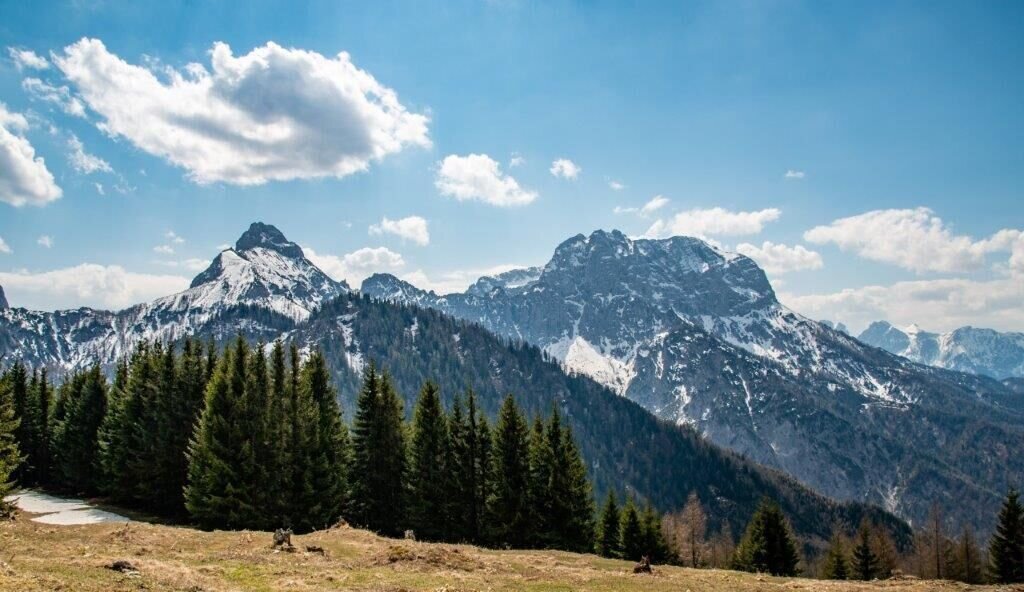
Blick ins Xeis! | © TV Gesäuse | Tourismusverband Gesäuse
13/15
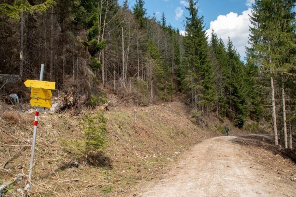
folge den beschilderungen zur Stockingeralm | © TV Gesäuse | Tourismusverband Gesäuse
14/15
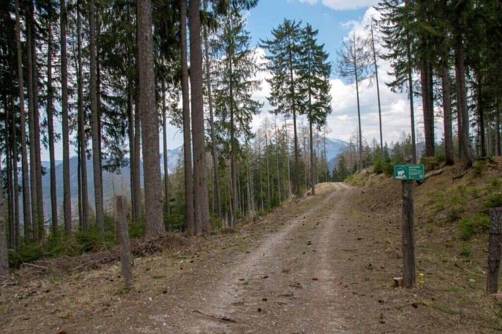
am Weg nach unten verlassen wir hier Links den Forstweg in den Graben | © TV Gesäuse | Tourismusverband Gesäuse
15/15

What the weather will be like St. Gallen (509m)
Today, 15.10.2026
Dry and partly sunny throughout the day, with cloudy periods from time to time.Morning

6°C
sr.Regenwahrscheinlichkeit
0%
sr.Windstärke
0 km/h
Noon

15°C
sr.Regenwahrscheinlichkeit
0%
sr.Windstärke
5 km/h
Night
9°C
sr.Regenwahrscheinlichkeit
0%
sr.Windstärke
0 km/h
Tomorrow, 16.10.2026
Some clouds in the morning, lateron much sunshine and hardly any cloudsMorning
4°C
sr.Regenwahrscheinlichkeit
0%
sr.Windstärke
0 km/h
Noon

15°C
sr.Regenwahrscheinlichkeit
0%
sr.Windstärke
5 km/h
Night
7°C
sr.Regenwahrscheinlichkeit
0%
sr.Windstärke
0 km/h
Forecast
17.10.2026
3°C
15°C
18.10.2026
6°C
15°C
19.10.2026
5°C
16°C
