


Spielkogel round Johnsbach
Characteristics
SkillThe tour in numbers
Level of difficulty
medium
Route
16,0 km
Time
6:30 h
Uphill
1179 hm
Downhill
1179 hm
Highest point
1764 m
GH Donner - Mödlinger Hütte - Spielkogel - Anhartskogel - GH Donner The long, but technically easy round tour starts at Gasthof Donner in Johnsbach and leads up to the Mödlinger Hütte. At the top you follow the Johnsbacher Höhenweg to the Spiel- and then further on to the Anhartskogel before you descend to Johnsbach again.
From the Donnerwirt in Johnsbach you start the hike, which leads past the Mödlinger Hütte, further over the Spielkogel to the Anhartskogel.
Over the Sebringgraben you then descend again into the Johnsbachtal valley and the Johnsbacher Schattseitenweg (shady side path) rounds off the varied day tour perfectly. On this technically easy but long round tour you have everything your heart desires: panoramic peaks with views of Reichenstein, Buchstein, Ödstein and Co, a varied route through woods, meadows and pastures and three refreshment stops. In July and August you should definitely plan more time, because the blackberries, raspberries and mushrooms don't "pick" themselves.
Best season
January
February
March
April
May
June
July
August
September
October
November
December
More information
A9 Phyrn motorway to exit Ardning/Admont and from there past Frauenberg, approx. 10 km after Admont. Via the B146 (Gesäuse Bundesstraße) coming from the west into the Gesäuse.
Before the bend on the right side of the road, right next to the Gasthof Donner, you will find the parking lot.
Or via Leoben, Vordernberg and Eisenerz to Hieflau and from there via the B146 in a westerly direction into the Gesaeuse.
A1 Westautobahn to exit Ybbs and from there in southern direction through Scheibbs, Lunz am See, Göstling an der Ybbs and Palfau to Hieflau. From there via B146 in western direction into the Gesäuse.
There is only one intersection worth mentioning in the National Park, namely the one into Johnsbachtal (coming from Admont after about 11 km and coming from Hieflau after about 15 km). Follow this road (L743) for about 4 km into the valley until you reach the sign for Johnsbach
Before the bend on the right side of the road, right next to the Gasthof Donner, you will find the parking lot.
The well-marked trail nr. 601/608 leads from the Donnerwirt Inn to the southwest up to the Treffneralm, where the Mödlinger Hut (1523 m) is located.
You can reach this in about two hours walking time on alternating forest road and forest path. After a well-deserved refreshment on the well-equipped terrace of the Alpine Club refuge, you follow the Johnsbacher Höhenweg (No. 673) in a south-easterly direction.
The following two kilometres have the character of a leisurely alpine hike, before the path becomes steeper and the summit ascent to the Spielkogel (1731 m) follows. The following losses in altitude metres are typical for a high altitude trail, but once you reach the Brünörl, the trail immediately starts to climb again and you leave the last significant ascent behind you and finally find yourself at the Anhartskogel (1764 m), the highest peak of the day.
If you now follow the marked path further south, you "cross" the Niederberg (1688 m) before you leave the Johnsbacher Höhenweg into the Sebringgraben and descend into the Johnsbachtal.
At the crossroads, the valley is indicated with a walking time of 1h 15 minutes and the path leads over the pastures of the Wölgeralm, where the path has not really been well trodden and you must therefore pay close attention to the markings (as of summer 2017), as well as over those of the Wolfsbacher Niederalm. When you arrive at the bottom, you can stop at Gasthaus Ödsteinblick, which is located on the opposite side of the road, before you finally follow the pleasant Johnsbacher Schattseitenweg towards the starting point.
Certain passages are a little steeper and therefore require surefootedness!
Emergency call mountain rescue: 140
Emergency message tip - answer the six W questions: What happened? How many injured? Where did the accident happen (possibly GPS coordinates)? Who is reporting (callback number)? When did the accident happen? Weather at the scene of the accident?
Sturdy hiking boots or good trekking shoes, as well as a hiking rucksack with appropriate contents (water bottle, blister plaster, hiking map, snack, etc.).You should also be well prepared for a change of weather.
If you still feel like it and have enough reserves of strength, you should leave the Johnsbacher Höhenweg for a short while at the Anhartskogel and take the 10-minute detour to the Wolfbacherturm Wagen - the view there is the reward!
www.oebb.at
www.busbahnbim.at
Tourismusverband Gesäuse
Hauptstraße 35, 8911 Admont, Österreich
Tel. +43 (0) 3613 21160 10
Email: info@gesaeuse.at
www.gesaeuse.at
Carto.at Wander- Rad- & Skitourenkarte Nr 801 "Nationalpark Gesäuse", 1: 35 000Kompass Karten "Nationalpark Gesäuse" Nr. 206, M 1 : 25 000
Alpenvereinskarte - Gesäuse und Ennstaler Alpen, Blatt 16. 1 :25 000
Rother Wanderführer Gesäuse, G. und L. Auferbauer (2018)Map & downloads
Gallery
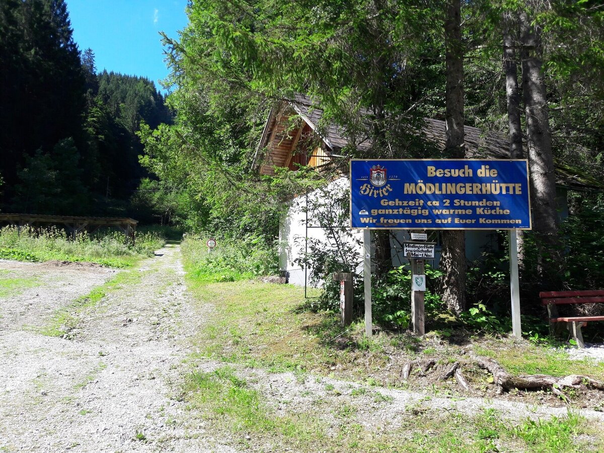
Die Beschilderung beim Parkplatz des GH Donnerwirts | © TV Gesäuse | Tourismusverband Gesäuse
1/14
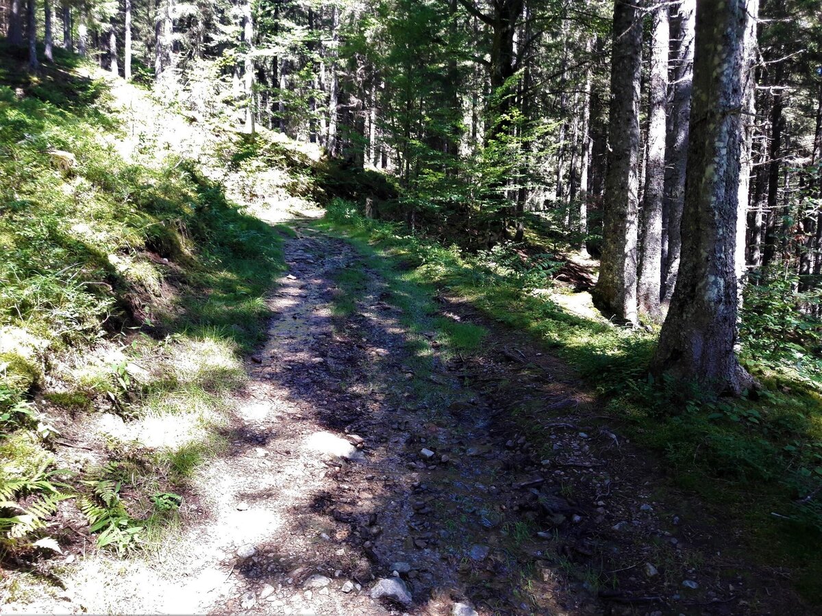
Eindrücke vom Aufstiegsweg zur Mödlinger Hütte I | © TV Gesäuse | Tourismusverband Gesäuse
2/14
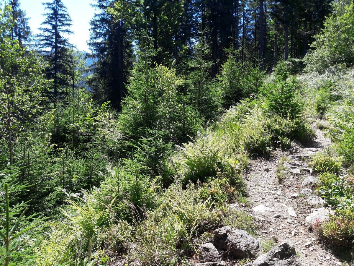
Eindrücke vom Aufstiegsweg zur Mödlinger Hütte II | © TV Gesäuse | Tourismusverband Gesäuse
3/14
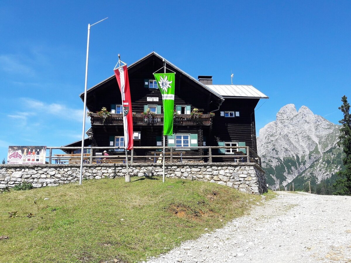
Die Mödlinger Hütte (im Hintergrund der Admonter Reichenstein) | © TV Gesäuse | Tourismusverband Gesäuse
4/14
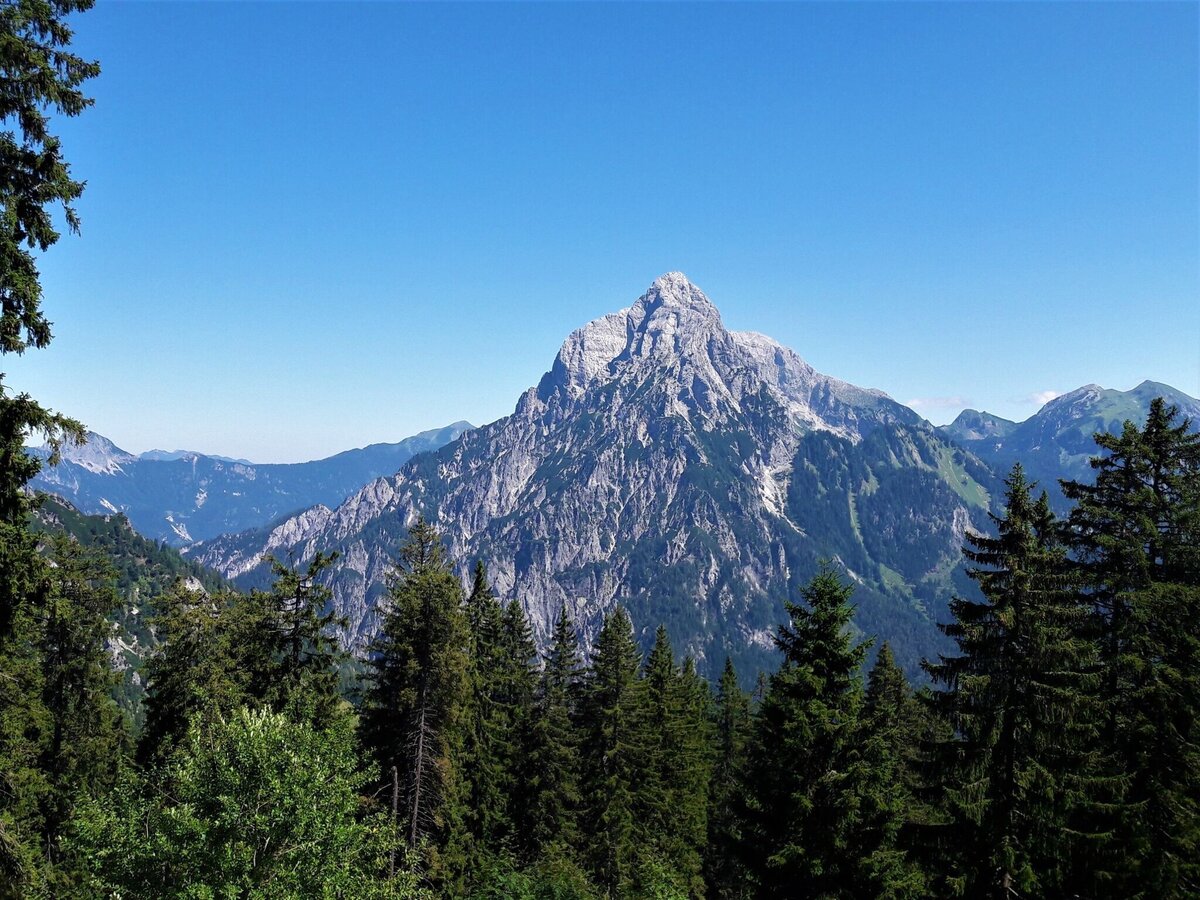
Blick auf den Ödstein (Richtung Osten) | © TV Gesäuse | Tourismusverband Gesäuse
5/14
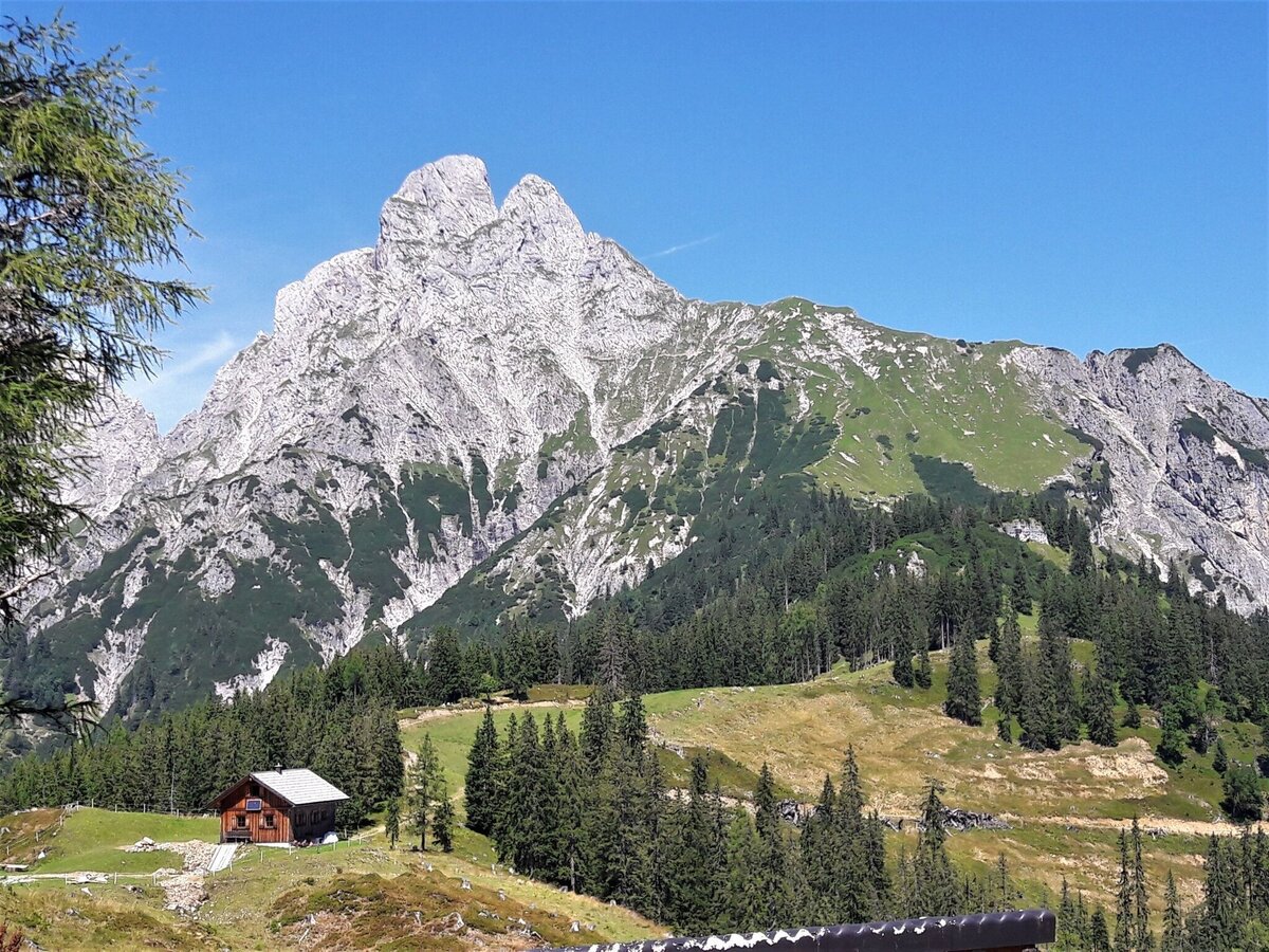
Am Johnsbacherhöhenweg - Blick zurück auf den Admonter Reichenstein | © TV Gesäuse | Tourismusverband Gesäuse
6/14
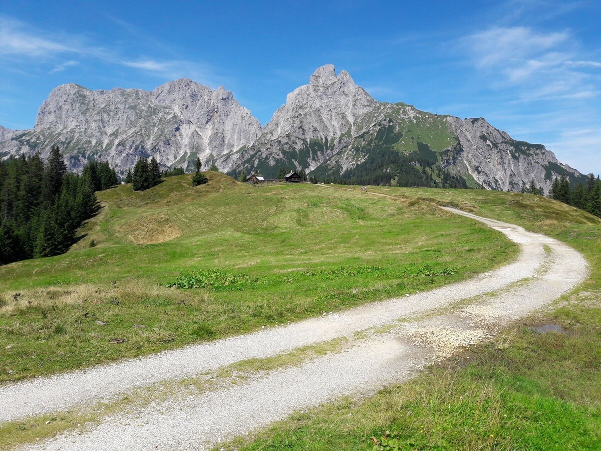
Eindrücke vom Johnsbacher Höhenweg (im Hintergrund der Admonter Reichenstein (re.) und das Sparafeld (li.) | © TV Gesäuse | Tourismusverband Gesäuse
7/14
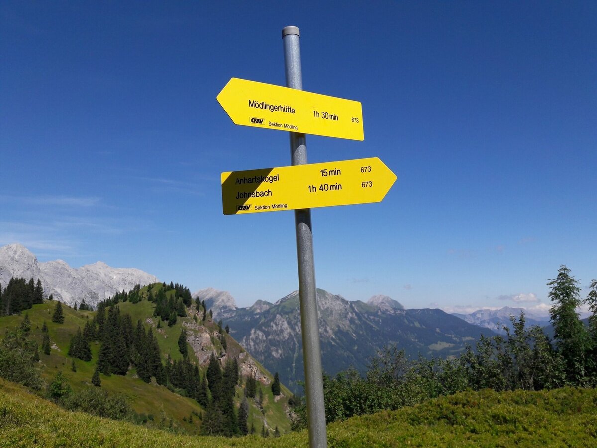
Wegweiser am Johnsbacher Höhenweg | © TV Gesäuse | Tourismusverband Gesäuse
8/14
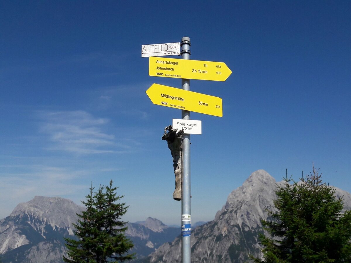
Der Gipfel des Spielkogels (im Hintergrund der Gr. Buchstein li. und der Gr. Ödstein re.) | © TV Gesäuse | Tourismusverband Gesäuse
9/14
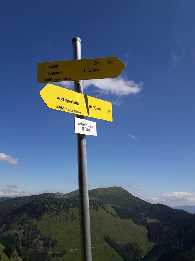
Der Gipfel des Anhartskogels | © TV Gesäuse | Tourismusverband Gesäuse
10/14
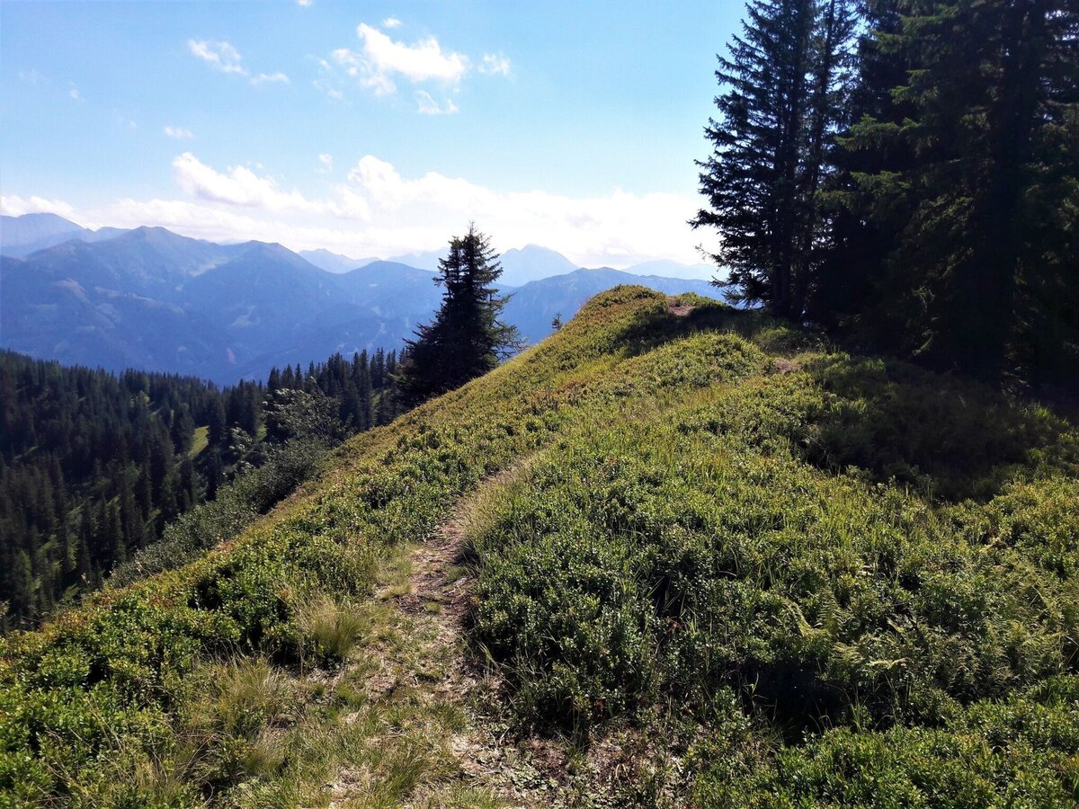
Eindrücke vom Johnsbacher Höhenweg - Schwarzbeersträucher | © TV Gesäuse | Tourismusverband Gesäuse
11/14
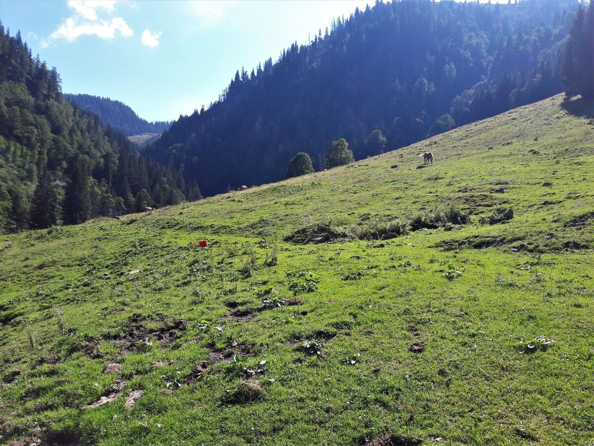
Die Wolfsbacher Niederalm im Abstieg (Blick zurück hinauf) | © TV Gesäuse | Tourismusverband Gesäuse
12/14
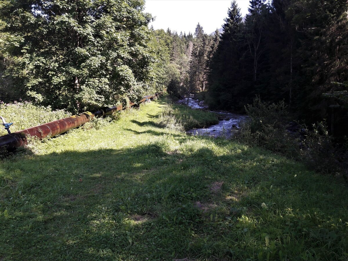
Eindrücke vom Johnsbacher Schattseitenweg zurück zum Ausgangspunkt | © TV Gesäuse | Tourismusverband Gesäuse
13/14
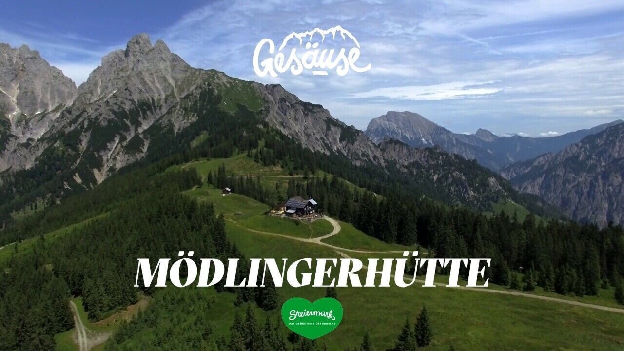
Hütten im Gesäuse | Mödlinger Hütte | © Tourismusverband Gesäuse
14/14

What the weather will be like Admont (635m)
Today, 15.10.2026
Early clouds will clear to leave the region with a dry and sunny day.Morning

7°C
sr.Regenwahrscheinlichkeit
0%
sr.Windstärke
0 km/h
Noon

16°C
sr.Regenwahrscheinlichkeit
0%
sr.Windstärke
5 km/h
Night

9°C
sr.Regenwahrscheinlichkeit
0%
sr.Windstärke
5 km/h
Tomorrow, 16.10.2026
Some clouds in the morning, lateron much sunshine and hardly any cloudsMorning
6°C
sr.Regenwahrscheinlichkeit
0%
sr.Windstärke
0 km/h
Noon
16°C
sr.Regenwahrscheinlichkeit
0%
sr.Windstärke
0 km/h
Night
8°C
sr.Regenwahrscheinlichkeit
0%
sr.Windstärke
0 km/h
Forecast
17.10.2026
4°C
17°C
18.10.2026
7°C
17°C
19.10.2026
5°C
18°C
