


Johnsbach shadow side path
Characteristics
SkillThe tour in numbers
Level of difficulty
easy
Route
5,9 km
Time
1:30 h
Uphill
132 hm
Downhill
132 hm
Highest point
864 m
A relaxed walk alongside the Johnsbach stream – perfect for families, leisure hikers and everyone who prefers to enjoy nature at an easy pace.
This easy and family-friendly hike takes us from the GH Donnerwirt along the gently babbling Johnsbach stream to the Kölblwirt. Gentle ascents, plenty of opportunities to take in the scenery and magnificent views of the Ödstein and the Admonter Reichenstein make this tour a relaxed nature experience with a rewarding stop for refreshments.
Best season
January
February
March
April
May
June
July
August
September
October
November
December
More information
Über B146 und L743 nach Johnsbach.
Car park at Gasthof Donnerwirt or Gasthof Kölblwirt
Car park at Gasthof Donnerwirt or Gasthof Kölblwirt
Starting at the entrance to Johnsbach village near the Donnerwirt, we follow the village road for a few metres before soon turning right onto a pleasant path that runs alongside the Johnsbach stream. At first, the trail climbs gently, then winds its way comfortably through the entire high valley. Along the way, there are repeated beautiful views of the Ödstein and the Admonter Reichenstein. At the Kölblwirt, we return to the village road. After a leisurely break at the Kölblwirt, we head back to our starting point at the Donnerwirt.
Sturdy hiking boots or good trekking shoes
Hiking backpack
Water bottle
First aid kit including blister plasters
Hiking map and smartphone
Snacks
Sunglasses
Sunscreen
You should also be well prepared for changeable weather.
Packing your backpack correctly makes things much easier:
Pack heavy items first. Your water bottle should always be easily accessible in a side pocket. Everything you need frequently, such as sunglasses, your smartphone, or hiking map, should be packed on top.
Hiking backpack
Water bottle
First aid kit including blister plasters
Hiking map and smartphone
Snacks
Sunglasses
Sunscreen
You should also be well prepared for changeable weather.
Packing your backpack correctly makes things much easier:
Pack heavy items first. Your water bottle should always be easily accessible in a side pocket. Everything you need frequently, such as sunglasses, your smartphone, or hiking map, should be packed on top.
Also visit the historic mountaineers' cemetery near the Donnerwirt! Cool off at the natural Kneipp facility along the way!
With the Verbundlinie BusBahnBim app, finding timetable information has never been easier: all bus, train, and tram connections in Austria can be searched for by entering locations and/or addresses, stops, or important points. The app is available as a free app for smartphones (Android, iOS) on Google Play and in the App Store.
In the Gesäuse region, you're mobile even without your own car during the summer months. Just one call to +43 3613 2100099 is all it takes: within operating hours, the Gesäuse shared taxi will take you to any destination in the Gesäuse — with no fixed timetable or stops.
In the Gesäuse region, you're mobile even without your own car during the summer months. Just one call to +43 3613 2100099 is all it takes: within operating hours, the Gesäuse shared taxi will take you to any destination in the Gesäuse — with no fixed timetable or stops.
Gesäuse Tourism Association
Hauptstraße 35, 8911 Admont, Austria
t: +43 3613 2116010
www.gesaeuse.at
Email: info@gesaeuse.at
Hauptstraße 35, 8911 Admont, Austria
t: +43 3613 2116010
www.gesaeuse.at
Email: info@gesaeuse.at
Map & downloads
Gallery
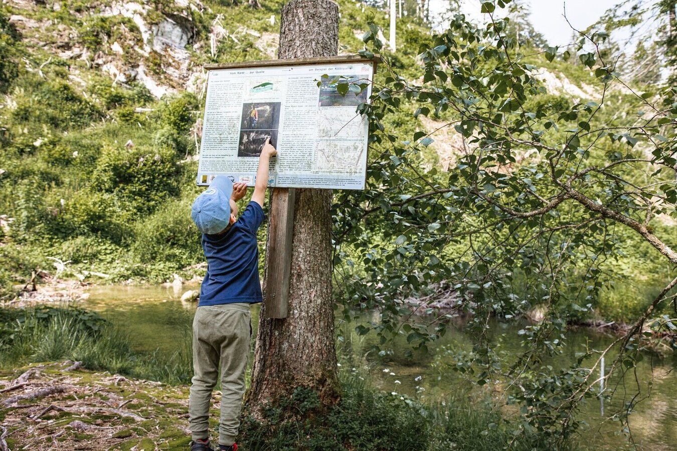
johnsbacher schattseitenweg_img_51666236 | © TV Gesäuse | Tourismusverband Gesäuse
1/9
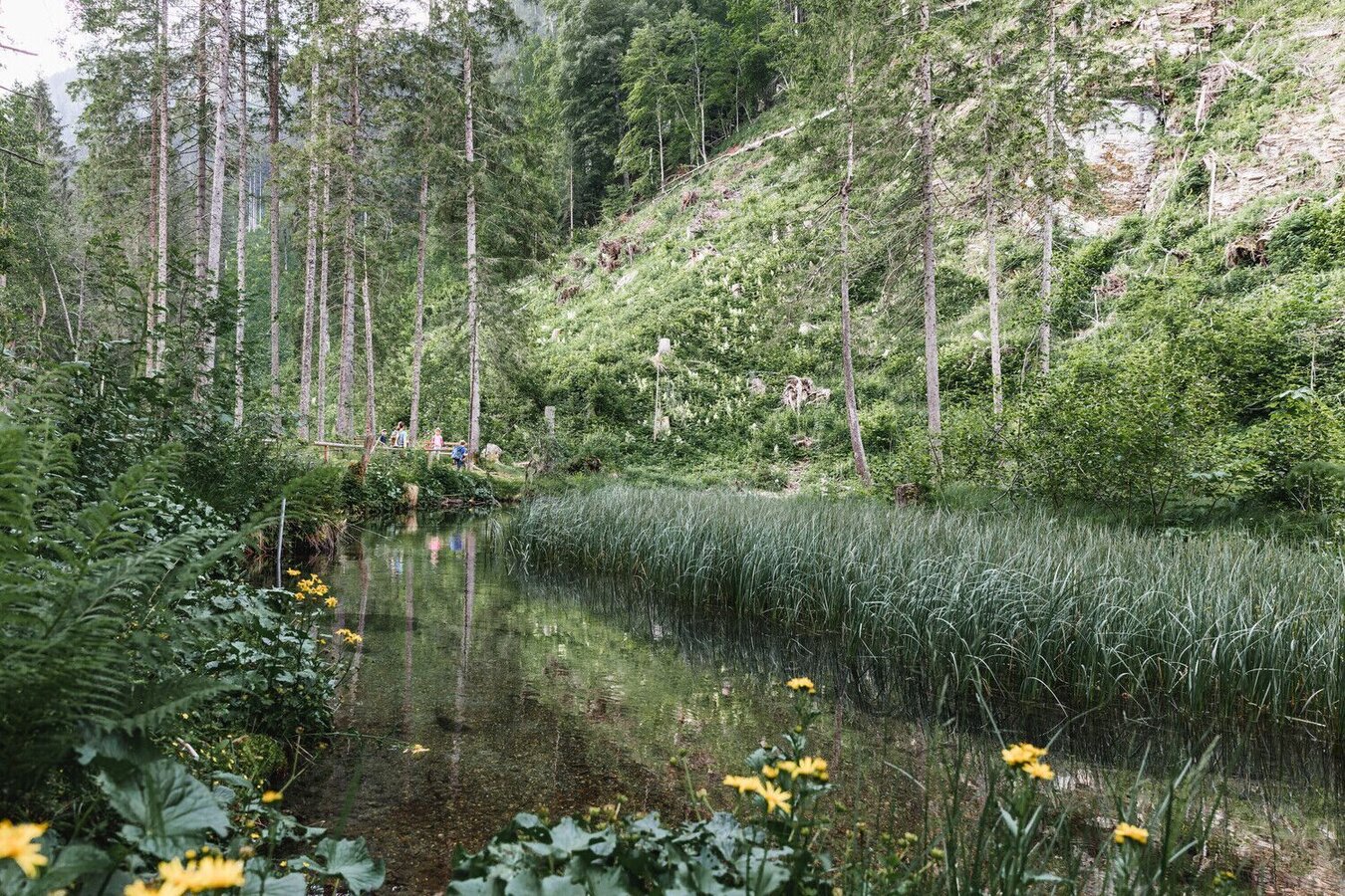
Kneippanlage Johnsbach | © TV Gesäuse | Thomas Sattler
2/9
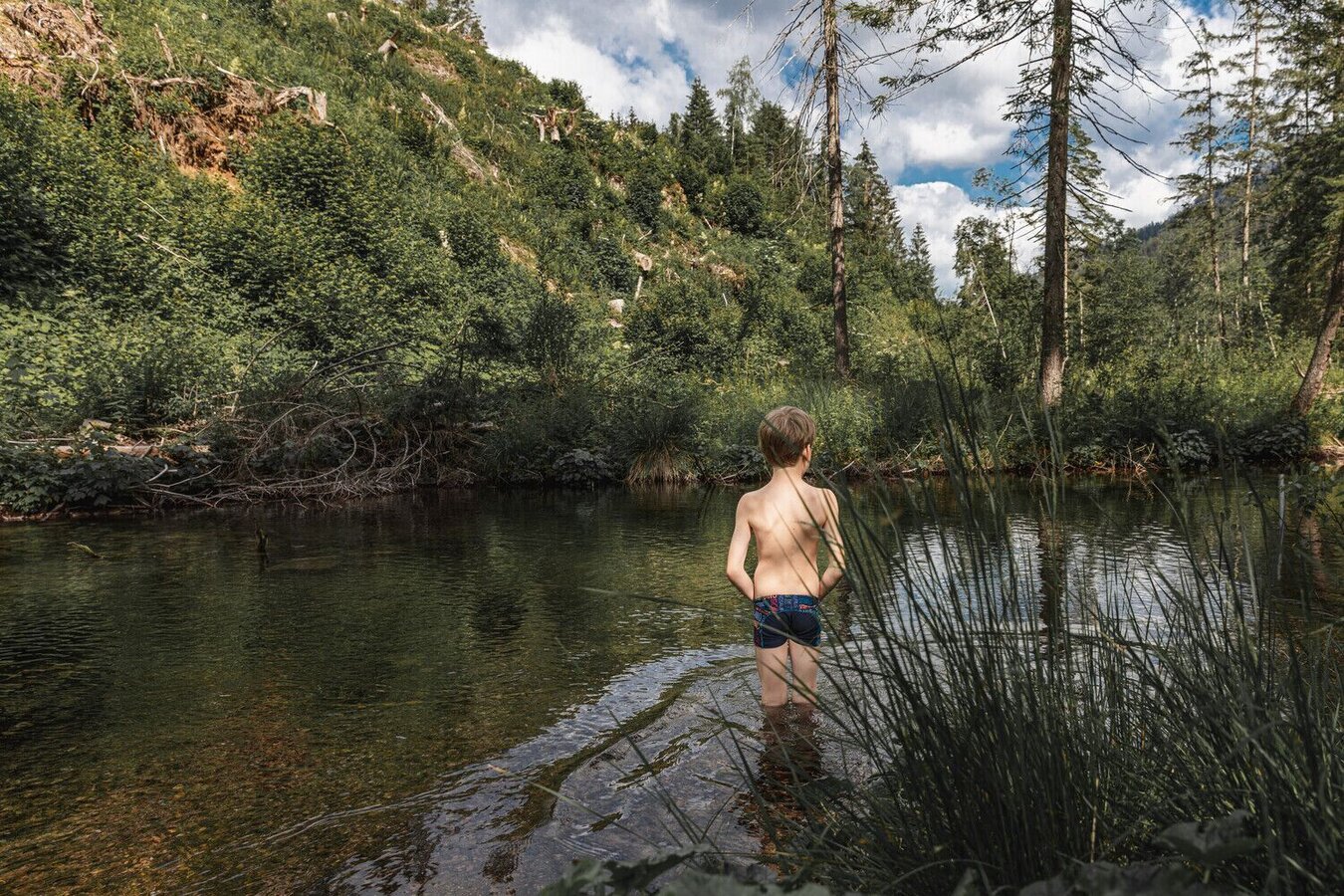
johnsbacher schattseitenweg_img_51666238 | © TV Gesäuse | Tourismusverband Gesäuse
3/9
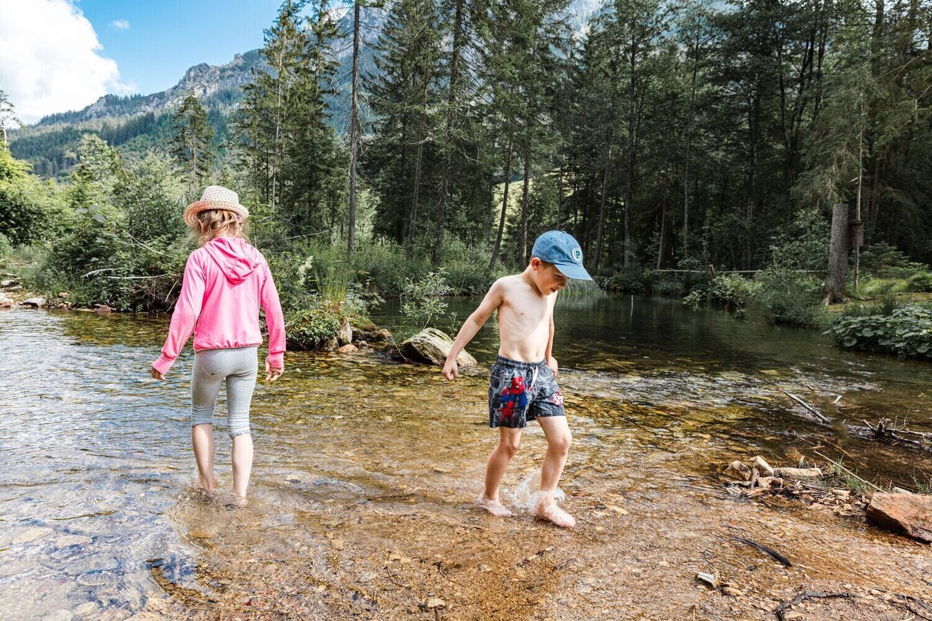
Kneippanlage Johnsbach | © TV Gesäuse | Thomas Sattler
4/9
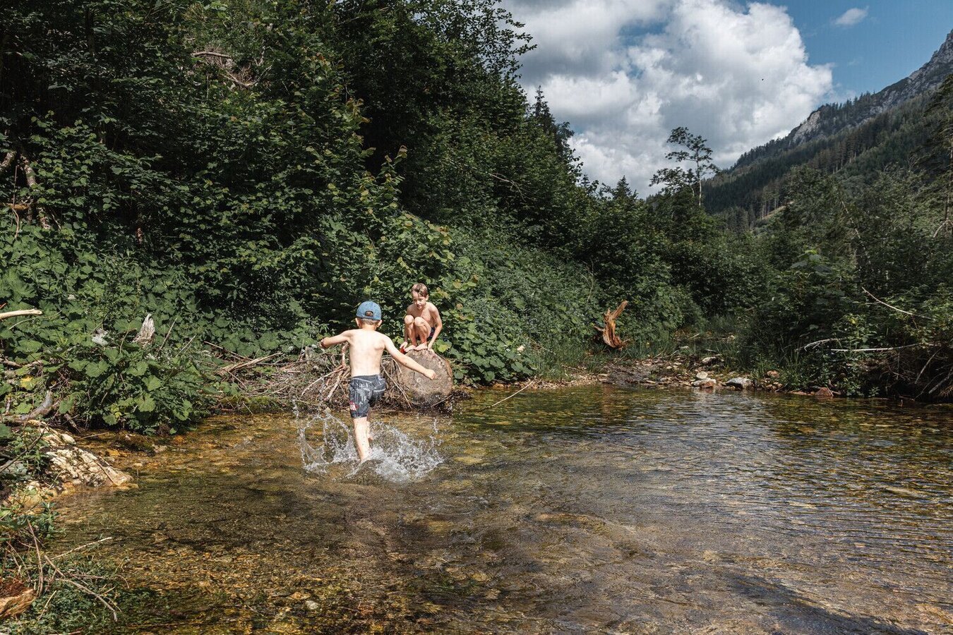
Abkühlung an heißen Sommertagen | © TV Gesäuse | Thomas Sattler
5/9
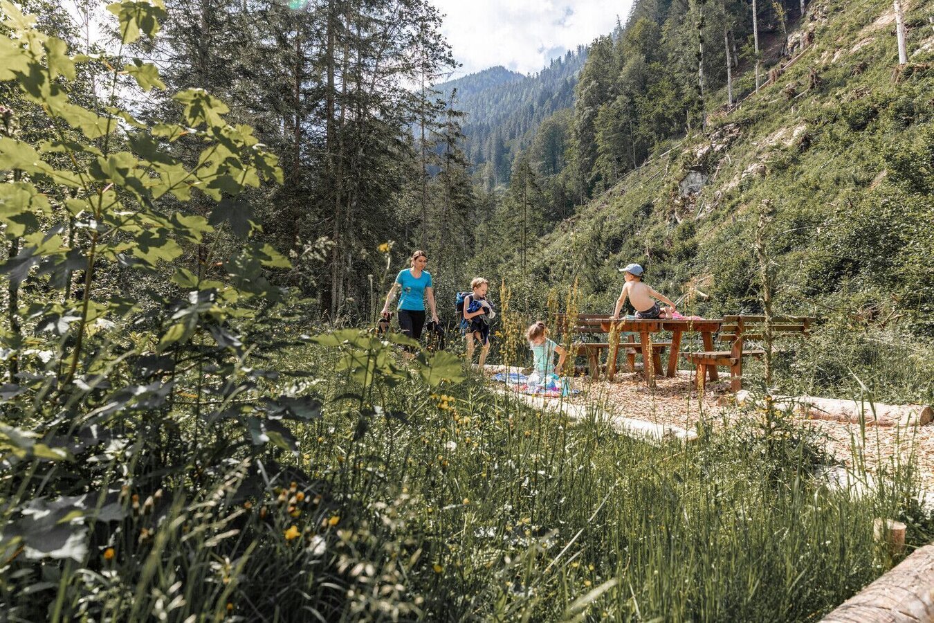
Wanderung entlang des Schattseitenweges | © TV Gesäuse | Thomas Sattler
6/9
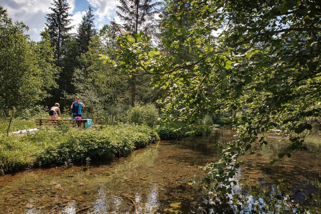
johnsbacher schattseitenweg_img_51666301 | © TV Gesäuse | Thomas Sattler
7/9
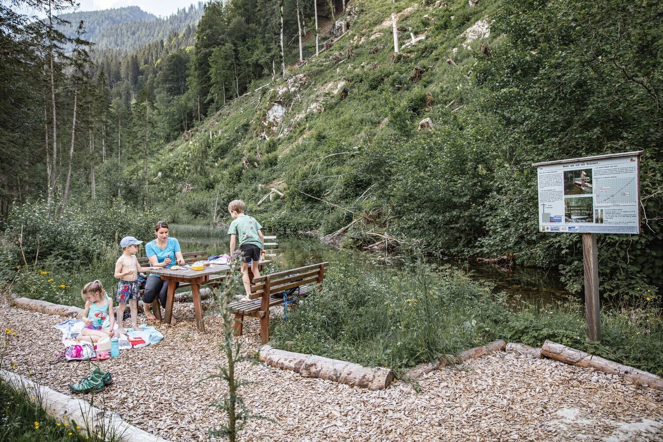
Rastplatz bei der Kneippanlage | © TV Gesäuse | Thomas Sattler
8/9
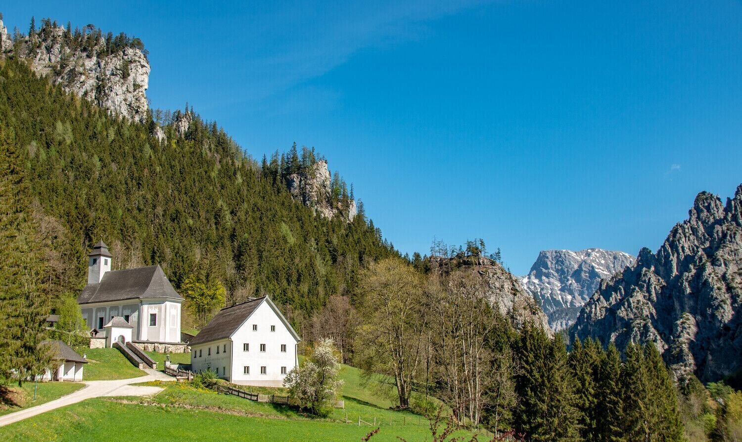
Pfarrkirche Johnsbach | © TV Gesäuse | Thomas Sattler
9/9

What the weather will be like Admont (635m)
Today, 13.10.2026
Dry and sunny throughout the day with hardly any clouds.Morning

3°C
sr.Regenwahrscheinlichkeit
0%
sr.Windstärke
0 km/h
Noon
14°C
sr.Regenwahrscheinlichkeit
0%
sr.Windstärke
0 km/h
Night
7°C
sr.Regenwahrscheinlichkeit
5%
sr.Windstärke
5 km/h
Tomorrow, 14.10.2026
The rain will end in the early afternoon, and the skies will break up afterwards.Morning

7°C
sr.Regenwahrscheinlichkeit
65%
sr.Windstärke
0 km/h
Noon
14°C
sr.Regenwahrscheinlichkeit
75%
sr.Windstärke
5 km/h
Night

10°C
sr.Regenwahrscheinlichkeit
50%
sr.Windstärke
5 km/h
Forecast
15.10.2026

6°C
17°C
16.10.2026
4°C
18°C
17.10.2026

4°C
16°C
