


Grabneralm
Characteristics
SkillThe tour in numbers
Level of difficulty
medium
Route
12,0 km
Time
2:20 h
Uphill
568 hm
Downhill
568 hm
Highest point
1403 m
Mountain bike route from Buchauer Sattel to the Grabneralm
Today the Grabneralm is a private refuge of the agricultural college Grabnerhof and was acquired by the province of Styria in 1901.
Livestock farming courses were intensified and alpine farming courses were introduced at the Grabneralm. The school bore the name "Landesschule für Alpwirtschaft". In 2010 a goat barn with a show dairy was built on the Grabneralm.
Best season
January
February
March
April
May
June
July
August
September
October
November
December
More information
B 117 from direction Admont and St. Gallen to Buchauer Sattel
Grabneralm car park
route planner
Grabneralm car park
Start is at the Buchauer Sattel on the B 117 at the Tonner farm and runs along the forest road for 5 km to the Grabneralm farm.The innkeepers offer regional cuisine and specialities from the connected goat cheese production and the way back is the same route.
Mountain rescue emergency call: 140
Tip for emergency message - give answers to the six W questions: What happened? How many injured? Where did the accident happen (possibly GPS coordinates)? Who is reporting (callback number)? When did the accident happen? Weather at the scene of the accident?
A first aid kit is included in the rucksack as well as the mobile phone (Euro-emergency call 112), a repair kit, warm clothing, rain gear, light and sufficient food and drink.Gloves and glasses protect hands and eyes.
Maps or GPS are valuable orientation aids.
Always wear a helmet uphill and downhill!
Hike to the Grabnerstein (1847 m) and Admonterhaus (1723 m) possible in one hour
Postbus Linie 910, www.busbahnbim.at
www.gesaeuse.at
www.grabneralmhaus.at
Carto.at / Wander-, Rad- & Schitourenkarte „Nationalpark Gesäuse“Gesäuseberge – Haller Mauern – Eisenerzer Alpen West, Nr. 801M 1: 35.000 http://www.carto.at/gesaeuse/
Kompass/ Wander-, Fahrrad- & Schitourenkarte „Nationalpark Gesäuse“, Nr. 206
M 1 : 25.000 http://www.kompass.de/touren-und-regionen/wanderkarte/dest/100148-alpenregion-nationalpark-gesaeuse/
Alpenvereinskarte „Gesäuse und Ennstaler Alpen“, Blatt 16, M 1 : 25.000
http://www.freytagberndt.com/shop/9783928777346-alpenvereinskarte-16-ennstaler-alpen-gesaeuse/
Map & downloads
Gallery
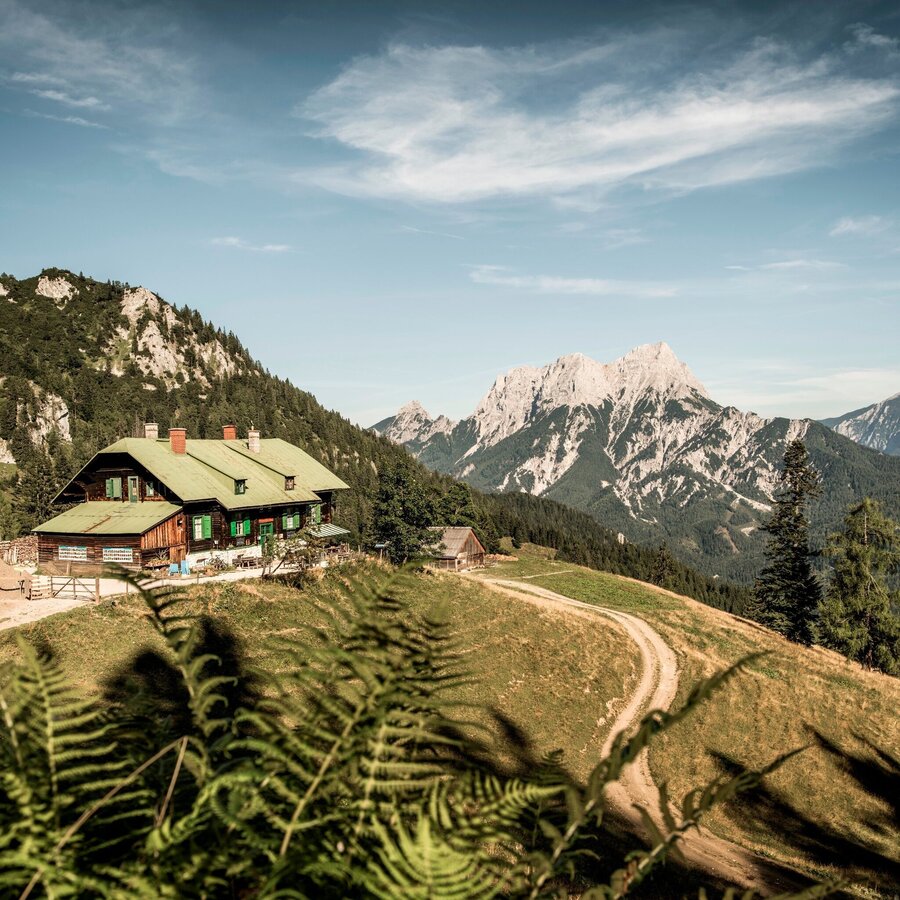
Grabneralm, der Balkon zum Gesäuse | © TV Gesäuse | Stefan Leitner
1/12
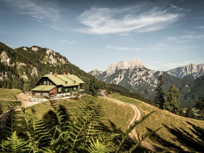
Grabneralm | © TV Gesäuse | Tourismusverband Gesäuse
2/12
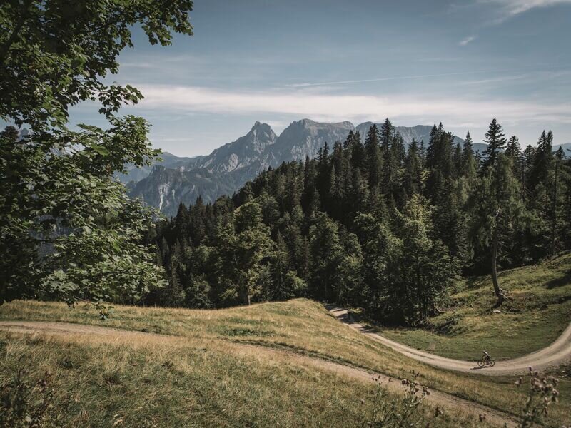
kurz vor dem Ziel auf dem Forstweg | © TV Gesäuse | Tourismusverband Gesäuse
3/12
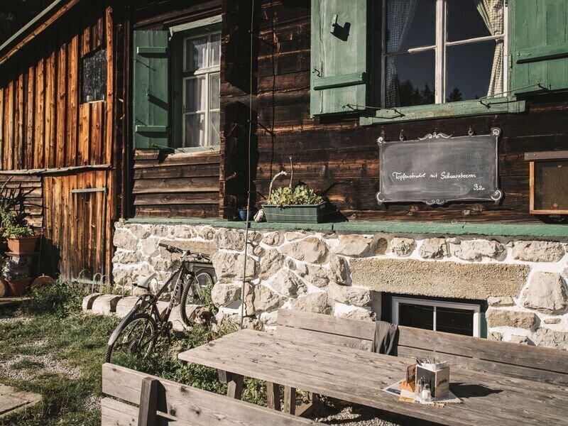
Grabneralm | © TV Gesäuse | Tourismusverband Gesäuse
4/12
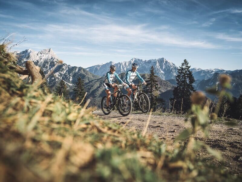
Forstweg mit Ausblick | © TV Gesäuse | Tourismusverband Gesäuse
5/12
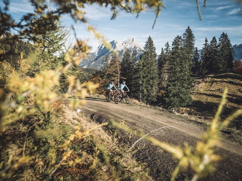
Forstweg mit Ausblick | © TV Gesäuse | Tourismusverband Gesäuse
6/12
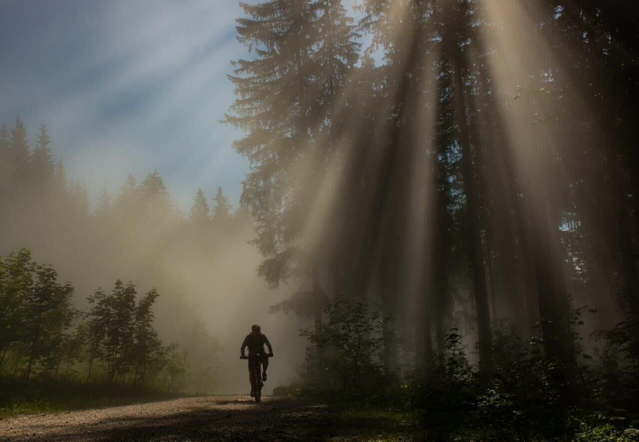
Die Sonne kämpft sich durch | © TV Gesäuse | Tourismusverband Gesäuse
7/12
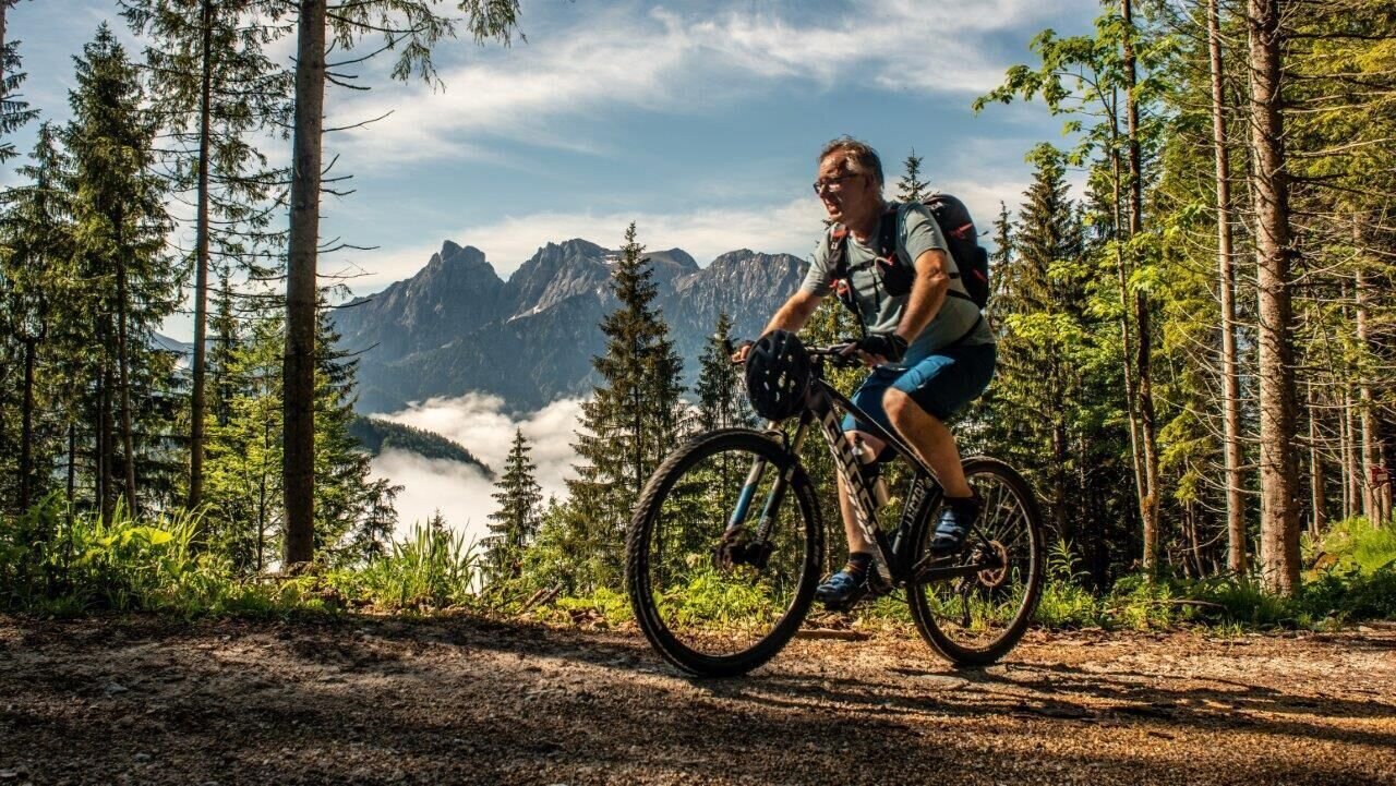
Im Hintergrund der Admonter Reichenstein | © TV Gesäuse | Tourismusverband Gesäuse
8/12
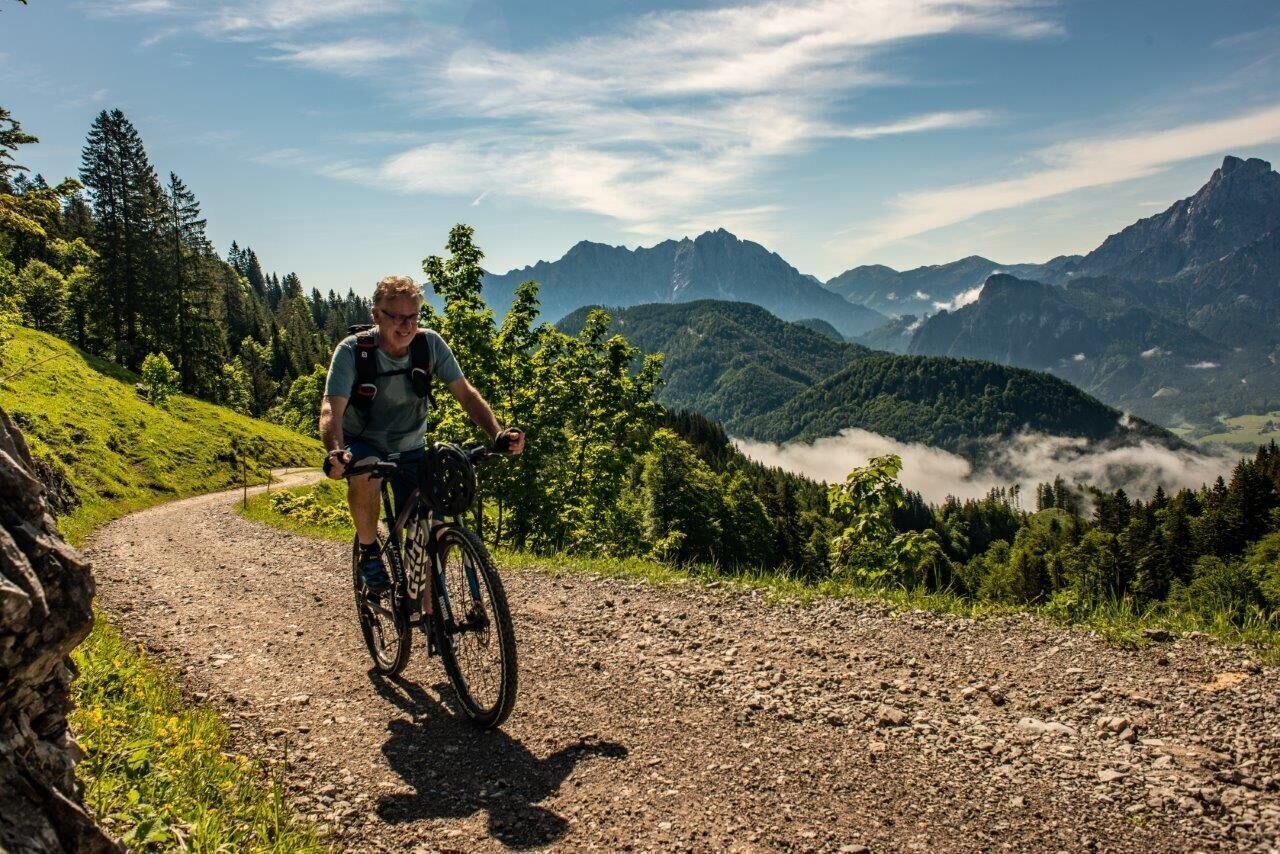
blick ins Xeis | © TV Gesäuse | Tourismusverband Gesäuse
9/12
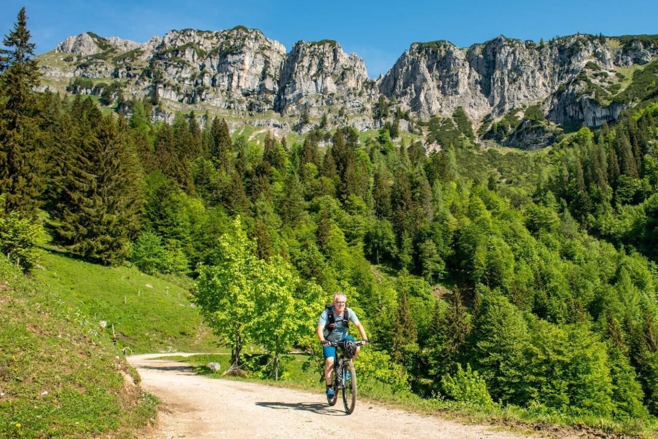
Blick auf den Grabnerstein | © TV Gesäuse | Tourismusverband Gesäuse
10/12
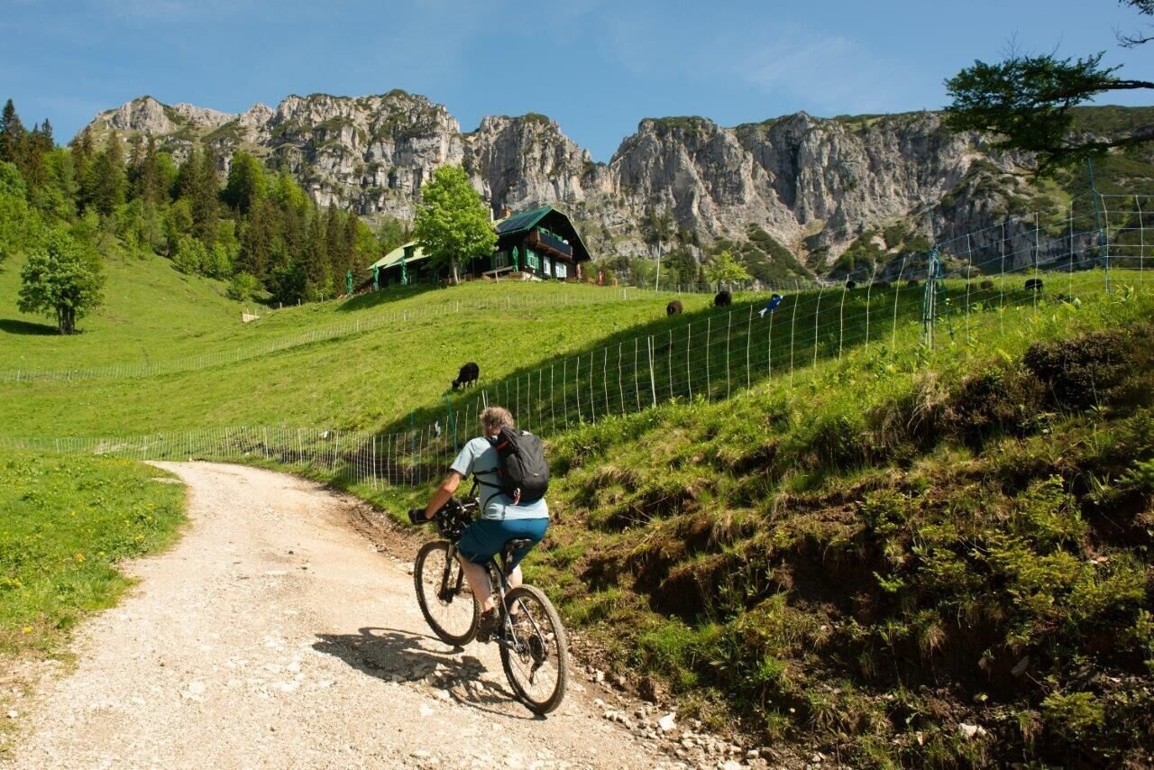
kurz vor der Grabneralm | © TV Gesäuse | Tourismusverband Gesäuse
11/12
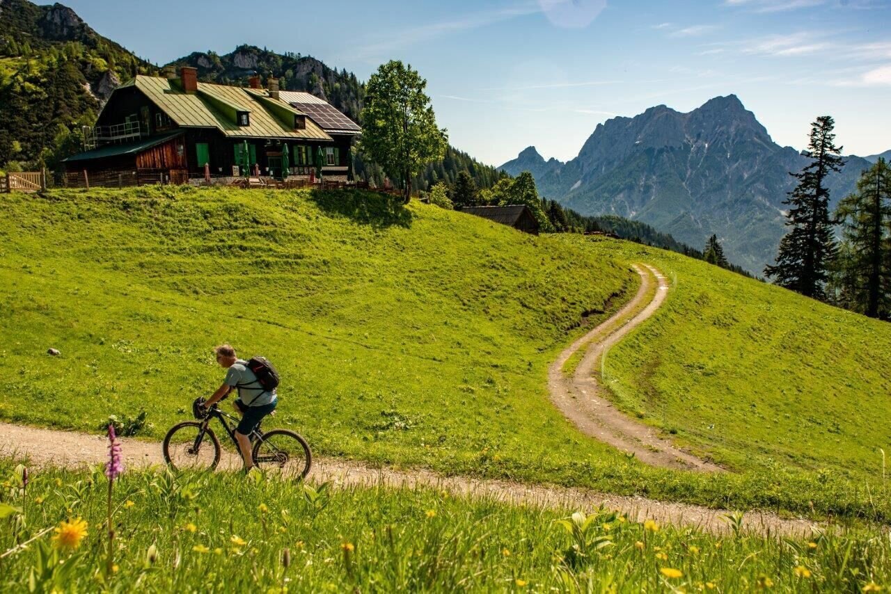
Grabneralm die letzten Meter | © TV Gesäuse | Tourismusverband Gesäuse
12/12

What the weather will be like Admont (635m)
Today, 25.10.2026
Sunny in the early morning, but soon clouds will gather and will lead to light rain towards evening.Morning

3°C
sr.Regenwahrscheinlichkeit
0%
sr.Windstärke
5 km/h
Noon

7°C
sr.Regenwahrscheinlichkeit
65%
sr.Windstärke
5 km/h
Night

6°C
sr.Regenwahrscheinlichkeit
85%
sr.Windstärke
5 km/h
Tomorrow, 26.10.2026
Showers will die away soon to leave a partly sunny day.Morning

4°C
sr.Regenwahrscheinlichkeit
65%
sr.Windstärke
0 km/h
Noon

9°C
sr.Regenwahrscheinlichkeit
30%
sr.Windstärke
5 km/h
Night
3°C
sr.Regenwahrscheinlichkeit
0%
sr.Windstärke
0 km/h
Forecast
27.10.2026

0°C
13°C
28.10.2026
1°C
12°C
29.10.2026
3°C
12°C
