


From Sankt Gallen to Grabneralm
Accessible by public transport- Train (within 15 minutes walking distance from starting point)
Characteristics
SkillThe tour in numbers
Level of difficulty
medium
Route
42,7 km
Uphill
1160 hm
Downhill
1151 hm
Highest point
1393 m
From the town square to the alpine meadow with a view of the 2,000-meter peaks
From Weißenbach, through Sankt Gallen and up through Buchau, through dense forests. Far removed from everyday life, yet conveniently located—so the tour can be shortened as desired.
Best season
January
February
March
April
May
June
July
August
September
October
November
December
More information
Weissenbach an der Enns (opposite of bakery)
Sankt Gallen Entrance
Parkplatz Lahn Alm (parking fee)
Parkplatz Buchauer Sattel (parking fee)
Sankt Gallen Entrance
Parkplatz Lahn Alm (parking fee)
Parkplatz Buchauer Sattel (parking fee)
First aid kit
Cell phone (Euro emergency number 112, mountain rescue 140)
Repair kit
Appropriate clothing, including rain gear
Gloves & glasses
Maps or GPS as valuable orientation tools
Always wear a helmet when going uphill and downhill
Cell phone (Euro emergency number 112, mountain rescue 140)
Repair kit
Appropriate clothing, including rain gear
Gloves & glasses
Maps or GPS as valuable orientation tools
Always wear a helmet when going uphill and downhill
Gesäuse Tourism Association
Hauptstraße 35, 8911 Admont, Austria
t: +43 3613 2116010
www.gesaeuse.at
Email: info@gesaeuse.at
Map & downloads
Gallery
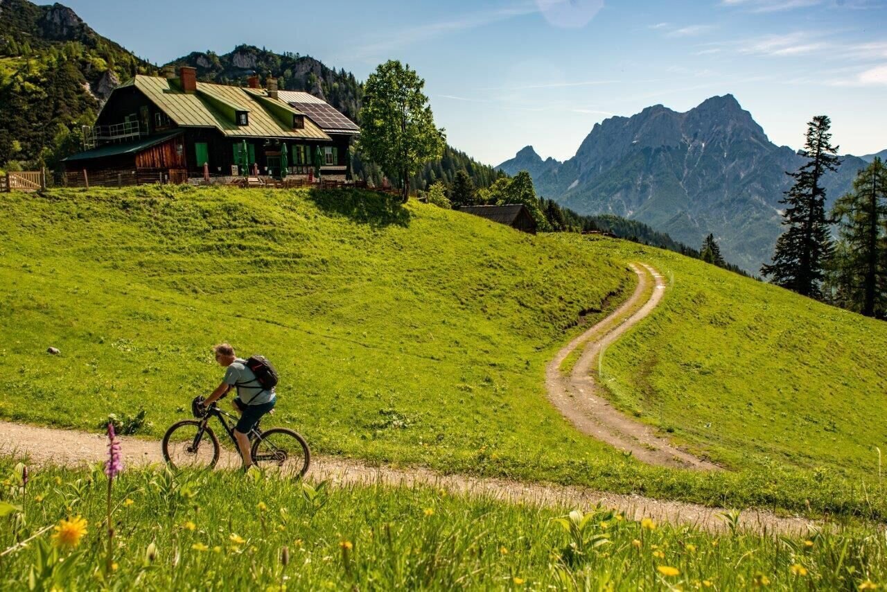
Grabneralm die letzten Meter | © TV Gesäuse | Tourismusverband Gesäuse
1/3
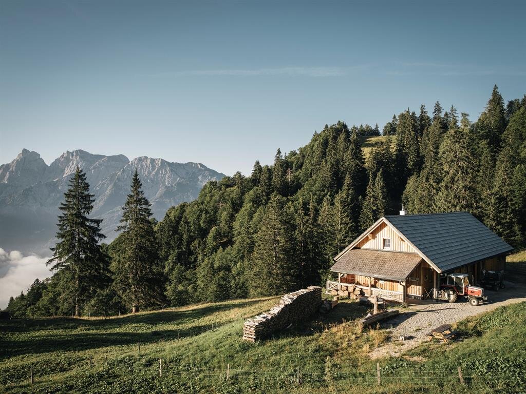
Sommerresidenz der Ziegenherde auf der Grabneralm | © Stefan Leitner
2/3

Kulinarik auf der Grabneralm I Gesäuse I Styria | © Stefan Leitner | Stefan Leitner
3/3

What the weather will be like St. Gallen (509m)
Today, 24.10.2026
The rain will end in the early afternoon, and the skies will break up afterwards.Morning

4°C
sr.Regenwahrscheinlichkeit
95%
sr.Windstärke
5 km/h
Noon
7°C
sr.Regenwahrscheinlichkeit
70%
sr.Windstärke
5 km/h
Night

3°C
sr.Regenwahrscheinlichkeit
10%
sr.Windstärke
0 km/h
Tomorrow, 25.10.2026
Fair in the early morning, later frequent, but rather light rain.Morning
1°C
sr.Regenwahrscheinlichkeit
5%
sr.Windstärke
5 km/h
Noon
9°C
sr.Regenwahrscheinlichkeit
70%
sr.Windstärke
10 km/h
Night
7°C
sr.Regenwahrscheinlichkeit
80%
sr.Windstärke
0 km/h
Forecast
26.10.2026
1°C
11°C
27.10.2026
1°C
12°C
28.10.2026
2°C
11°C
