


Buchsteinrunde Etappe 3 (Johnsbach - St. Gallen)
Characteristics
SkillThe tour in numbers
Level of difficulty
medium
Route
41,0 km
Time
6:30 h
Uphill
996 hm
Downhill
1341 hm
Highest point
1096 m
The third stage takes us down to the roaring Enns river and on over the Buchauer Sattel, around the Zinödlberg and back to our starting point in St. Gallen.
On the last day of your MTB tour through the Gesäuse, you will cycle (hopefully after you have also completed the culinary tour of all the idyllic Johnsbach alpine pastures – detour B) the 7 km uphill back down to the roaring Enns. At the entrance to the Gesäuse, you will cross the wildly murmuring Enns on the Lauferbauer Bridge before heading over the Kletzenberg in Weng and then up to the Buchauer Sattel. Here, detour C to the Grabneralm beckons before the forest road leads downhill to Grießbach, where you will rejoin the main road. After a bridge, take a sharp right turn and follow the forest road uphill to the Schwarzsattel, which offers a magnificent view. From there, it's a leisurely ride via the Stockingeralm to St. Gallen. The signs lead you directly to the town centre, which was also the starting point of the Buchsteinrunde.
Best season
January
February
March
April
May
June
July
August
September
October
November
December
More information
Gasthof Kölblwirt, 8912 Johnsbach
If you are starting the stage: Take the Gesäusebundesstraße road into the Johnsbach Valley to one of the accommodations in Johnsbach.
Kölblwirt inn or Klamm car park (subject to a charge)
If you are starting the stage: Take the Gesäusebundesstraße road into the Johnsbach Valley to one of the accommodations in Johnsbach.
Kölblwirt inn or Klamm car park (subject to a charge)
The third stage takes us downhill to the roaring Enns river. We now follow the main road for 5 kilometres and cross the Enns at the Gesäuse entrance via the Lauferbauer bridge. Via the Kletzenberg in Weng, we climb 250 metres to the Buchauer Sattel, where we rejoin the main road before turning right onto the forest road. This is well signposted and mostly downhill until we reach the main road in Grießbach.
Here, we ride just a few metres over a bridge and immediately turn sharply right in a 180-degree turn. We now follow the forest road uphill to the Schwarzsattel, which offers a wonderful view. From here, it is all downhill via the Stockingeralm to St. Gallen. The signs lead us directly to the town centre, which was also the starting point of our tour.
Here, we ride just a few metres over a bridge and immediately turn sharply right in a 180-degree turn. We now follow the forest road uphill to the Schwarzsattel, which offers a wonderful view. From here, it is all downhill via the Stockingeralm to St. Gallen. The signs lead us directly to the town centre, which was also the starting point of our tour.
As short sections of the MTB route occasionally lead onto main roads, particular caution is required and you must ensure that your bikes are equipped for road use!
Fair play rules for mountain bikers
Mountain biking is an exciting sporting and nature experience! It's easy to forget everything around you when you're riding. But be careful, you're not alone on the trails! Sensible and considerate riding is the key to a safe and accident-free mountain biking experience. A few simple rules will help to prevent conflicts from arising in the first place.
Cycling and mountain biking in the Gesäuse National Park area is only permitted between 15 April and 31 October, from 2 hours after sunrise to 1 hour before sunset!
Cycling is only permitted on approved and marked trails! Cycling bans and closures also apply to mountain bikers.
Be considerate of other nature users! Approach hikers or horse riders slowly and use your bell if necessary.
Avoid unnecessary noise and be considerate of the animals. This also means only riding during daylight hours. Mountain bikers are guests in the forest – behave respectfully towards landowners, foresters and hunters.
Approach grazing livestock at walking pace to avoid causing the animals to panic. Important: all gates must be closed after passing through!
A first aid kit belongs in your rucksack, as do a mobile phone (Euro emergency number 112), a repair kit, warm clothing, rain protection, lights and sufficient food and drink. Gloves and glasses protect your hands and eyes. Maps or GPS are valuable aids to orientation. Always wear a helmet when going uphill and downhill!
At the Buchauer Sattel, you should definitely make a detour to the Grabneralm!
Visit the excursion destinations along the route:
Visit the excursion destinations along the route:
- Water adventure park and Gallenstein castle ruins in St. Gallen
- SILVANUM forestry museum in Großreifling
- Wasserlochklamm gorge in Palfau
- Nothklamm gorge, GeoZentrum and Kraushöhle cave in Gams
- Charcoal burner centre in Hieflau
- National Park Pavilion in Gstatterboden
- NP Weidendom and ecological footprint at the junction to Johnsbach
- Historic mountaineers' cemetery and Odelsteinhöhle cave in Johnsbach
- Admont Benedictine Abbey with the largest monastery library in the world
Train to Liezen, then take Postbus line 910 to St. Gallen or
Train to Kleinreifling or Weißenbach/St. Gallen, then take Postbus line 910 to St. Gallen
www.oebb.at
www.busbahnbim.at
Train to Kleinreifling or Weißenbach/St. Gallen, then take Postbus line 910 to St. Gallen
www.oebb.at
www.busbahnbim.at
Tourismusverband Gesäuse
Hauptstraße 35, 8911 Admont, Österreich
t: +43 3613 21 160 10
Email: info@gesaeuse.at
www.gesaeuse.at
Map & downloads
Gallery
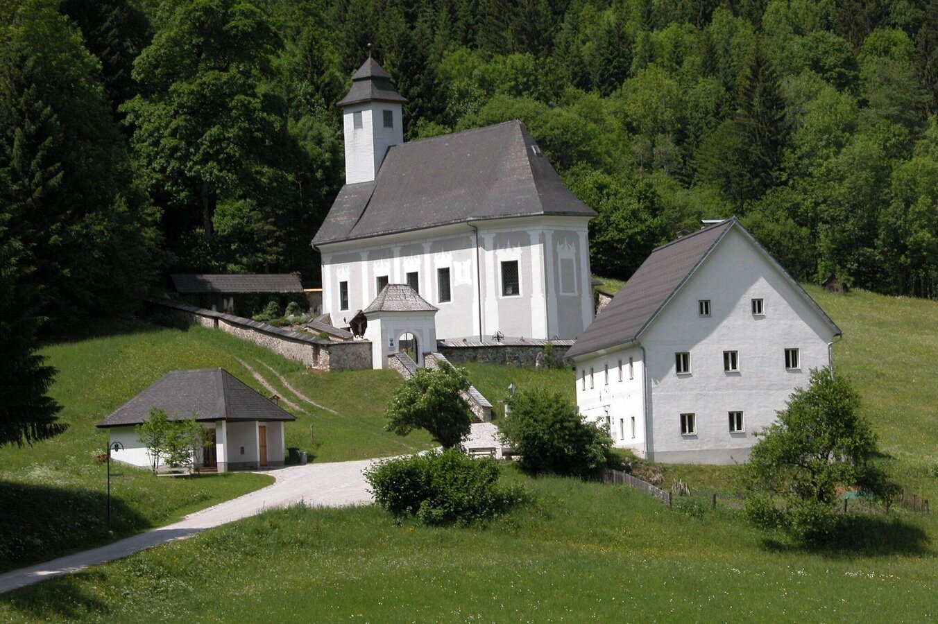
Bergsteigerfriedhof Johnsbach | © TV Gesäuse | Tourismusverband Gesäuse
1/13
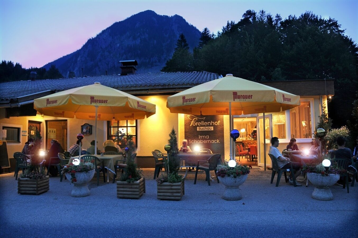
Forellenhof am Abend | © TV Gesäuse | Tourismusverband Gesäuse
2/13
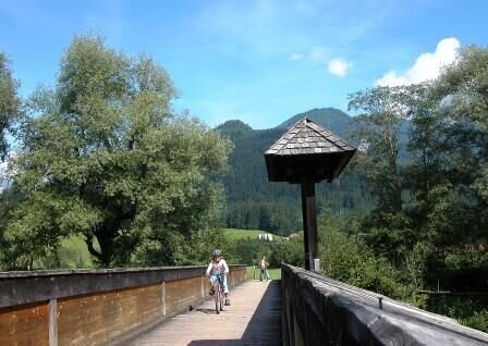
Lauferbauerbrücke in Weng | © TV Gesäuse | Tourismusverband Gesäuse
3/13
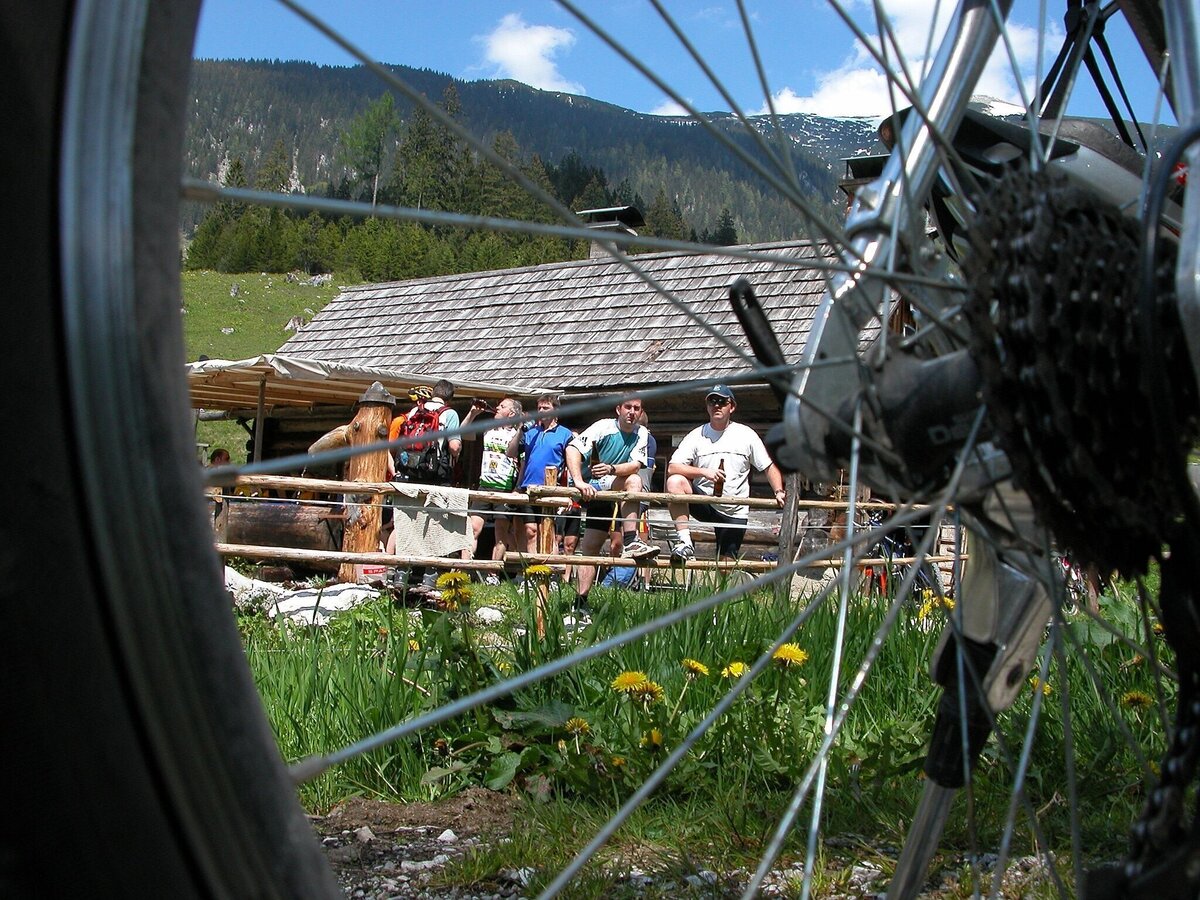
buchsteinrunde etappe 3 (johnsbach - st. gallen)_img_9695263 | © TV Gesäuse | Tourismusverband Gesäuse
4/13
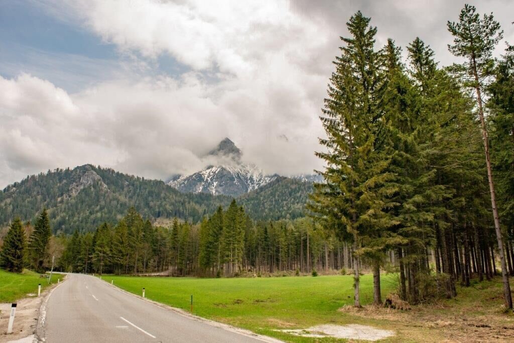
vorne Rechts geht's wieder ins Gelände | © TV Gesäuse | Tourismusverband Gesäuse
5/13
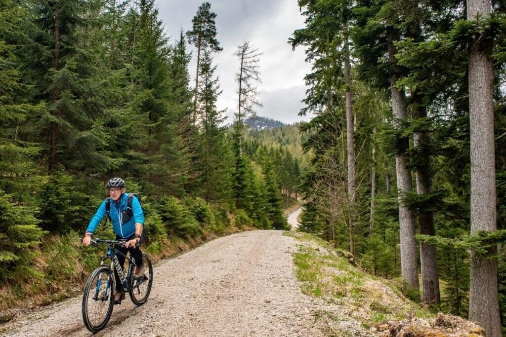
Forstweg nach dem Buchauer Sattel | © TV Gesäuse | Tourismusverband Gesäuse
6/13
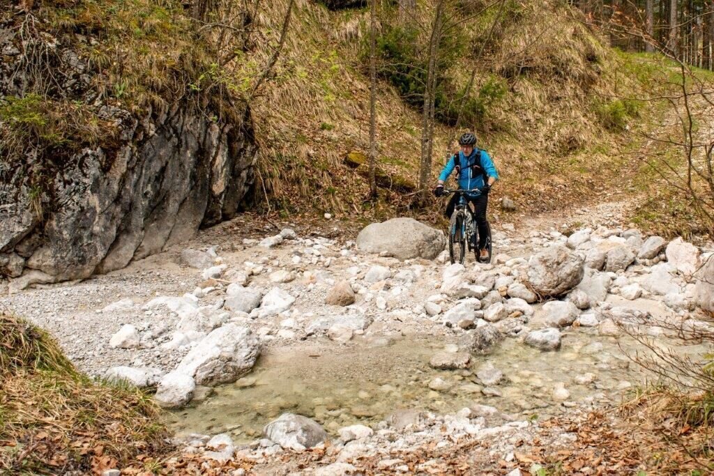
Bachquerung | © TV Gesäuse | Tourismusverband Gesäuse
7/13
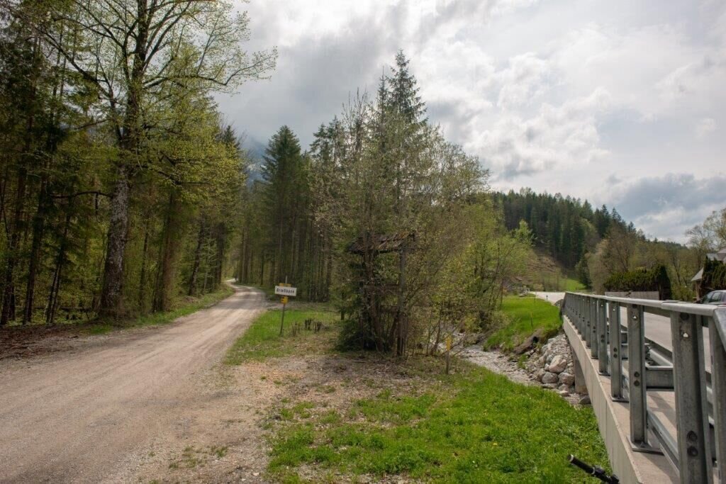
Abzweigung auf Schwartzsattel | © TV Gesäuse | Tourismusverband Gesäuse
8/13
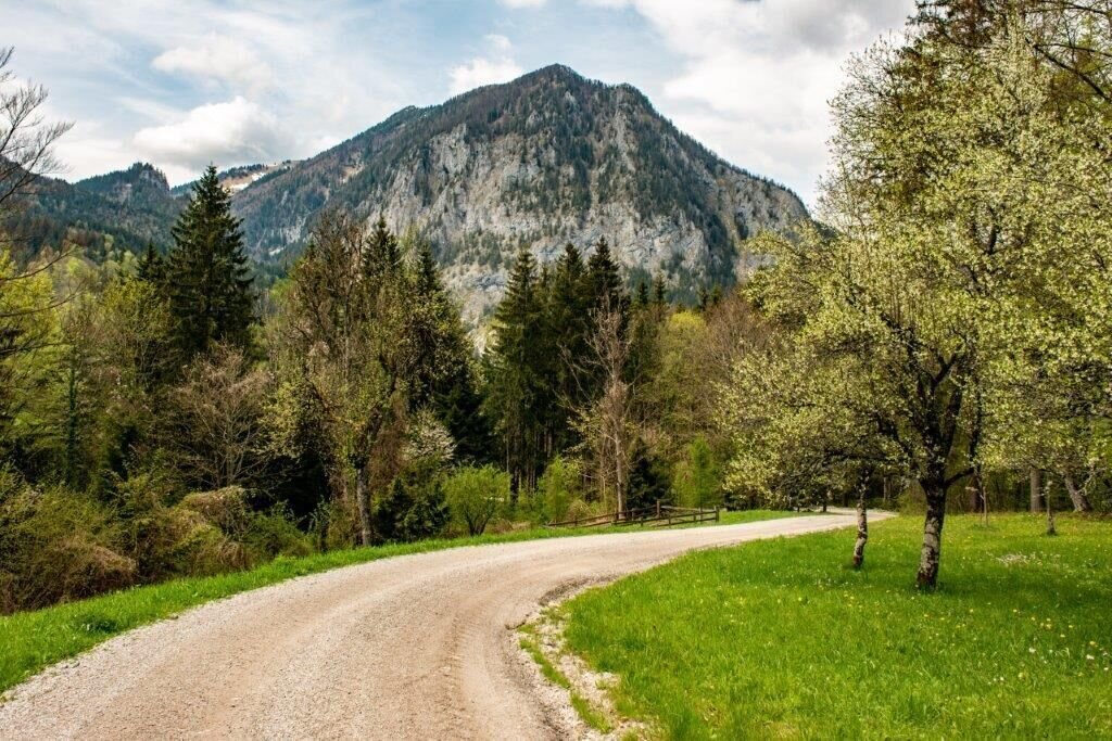
Bergauf Richtung Schwartzsattel | © TV Gesäuse | Tourismusverband Gesäuse
9/13
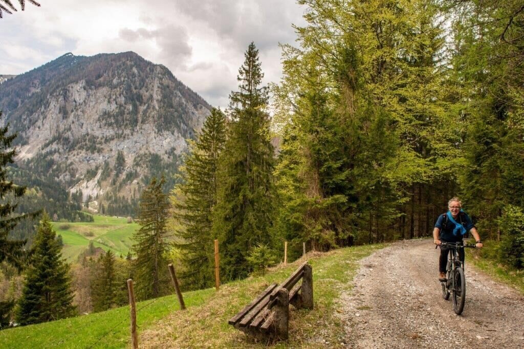
kurz vor dem höchsten Punkt! | © TV Gesäuse | Tourismusverband Gesäuse
10/13
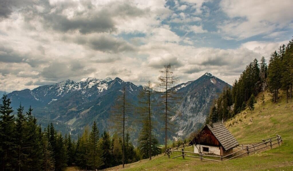
Schwartzsattel | © TV Gesäuse | Tourismusverband Gesäuse
11/13
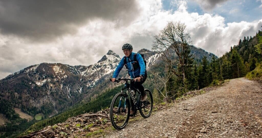
BLick auf den Kl.Buchstein | © TV Gesäuse | Tourismusverband Gesäuse
12/13
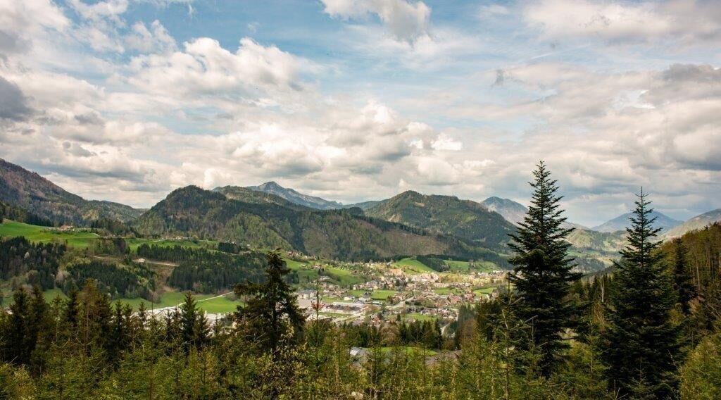
Aussicht auf St.Gallen | © TV Gesäuse | Tourismusverband Gesäuse
13/13

What the weather will be like Admont (635m)
Today, 15.10.2026
Early clouds will clear to leave the region with a dry and sunny day.Morning

7°C
sr.Regenwahrscheinlichkeit
0%
sr.Windstärke
0 km/h
Noon

16°C
sr.Regenwahrscheinlichkeit
0%
sr.Windstärke
5 km/h
Night

9°C
sr.Regenwahrscheinlichkeit
0%
sr.Windstärke
5 km/h
Tomorrow, 16.10.2026
Some clouds in the morning, lateron much sunshine and hardly any cloudsMorning
6°C
sr.Regenwahrscheinlichkeit
0%
sr.Windstärke
0 km/h
Noon
16°C
sr.Regenwahrscheinlichkeit
0%
sr.Windstärke
0 km/h
Night
8°C
sr.Regenwahrscheinlichkeit
0%
sr.Windstärke
0 km/h
Forecast
17.10.2026
4°C
17°C
18.10.2026
7°C
17°C
19.10.2026
5°C
18°C
