


Brunntal Wildalpen
Characteristics
SkillThe tour in numbers
Level of difficulty
easy
Route
9,0 km
Time
2:30 h
Uphill
227 hm
Downhill
227 hm
Highest point
853 m
A leisurely hike from the Brunnsee to the Brunntal leads to Brunnboden and impressive views of the Hochschwab massif are offered.
Unique landscape, easy to walk on, a hike in the protected spring area.
Best season
January
February
March
April
May
June
July
August
September
October
November
December
More information
From Vienna: A1 Westautobahn exit Ybbs via Wieselburg, Scheibbs and Lunz/See to Göstling an der Ybbs, continue towards Palfau, at the Erzhalden junction turn off to Wildalpen.
From Wildalpen take the B24 in the direction of Mariazell for about 5.3 km and turn right into the Brunntal; a grey signpost is attached and there is a parking space directly next to the chapel.
From Vienna, Eisenstadt: Semmering expressway S6, near Mürzzuschlag on the B23 Mariazeller Bundesstrasse and Mürzsteg and Wegscheid to Gusswerk and on the Hochschwab Bundesstrasse B24 to Wildalpen
From Linz: A1 to Voralpenkreuz junction, A9 to Windischgarsten, Unterlaussa, Altenmarkt, Grossreifling, Palfau and Wildalpen
From Salzburg: A1 on A9 until exit Ardning/Admont, Gesäusebundesstrasse and B24 until Wildalpen
From Graz: A9 Pyhrnautobahn, exit, Traboch (near Leoben) via Präbichl/Eisenerz, Hieflau, Landl, Gams to Palfau at the crossing Erzhalden turn off to Wildalpen.
Translated with www.DeepL.com/Translator (free version)
From Wildalpen take the B24 in the direction of Mariazell for about 5.3 km and turn right into the Brunntal; a grey signpost is attached and there is a parking space directly next to the chapel.
We follow the path number: 91
At the entrance of the Brunntal there is a small chapel in front of it, and on the left side a forest road leads into the Brunntal. Even further left, in the middle of the spring protection area, is the Brunnsee. (No bathing lake!) The forest road runs gently and only slightly uphill into the valley to the Brunnmäuern. At the end of the valley it rises steeply to below the Rotmäuer. To return, we take the same route back.
Additional information: Accessible with prams and wheelchairs on a gravel road; however, there is a barrier right at the beginning.
The hike is easy to walk and very scenic.
This hike is also very family-friendly and can be done safely with off-road prams! Hiking equipment
sturdy shoes, weatherproof clothing, mobile phone for emergencies
In every backpack: Rain, cold and sun protection, first aid kit, sufficient liquid and a hiking map of the region.
Refreshments after or before the tour in Wildalpen: Café Restaurant Grabner in Wildalpen, Hotel Bergkristall in Wildalpen
With the Verbundlinie BusBahnBim app, finding timetable information has never been easier: all bus, train, and tram connections in Austria can be searched for by entering locations and/or addresses, stops, or important points. The app is available as a free app for smartphones (Android, iOS) on Google Play and in the App Store.
Map & downloads
Gallery
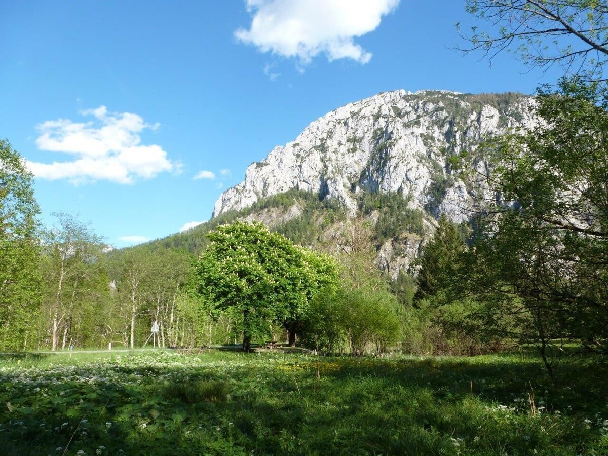
Eingang Brunntal | © Tourismusverband Wildalpen | Christian Scheucher
1/9
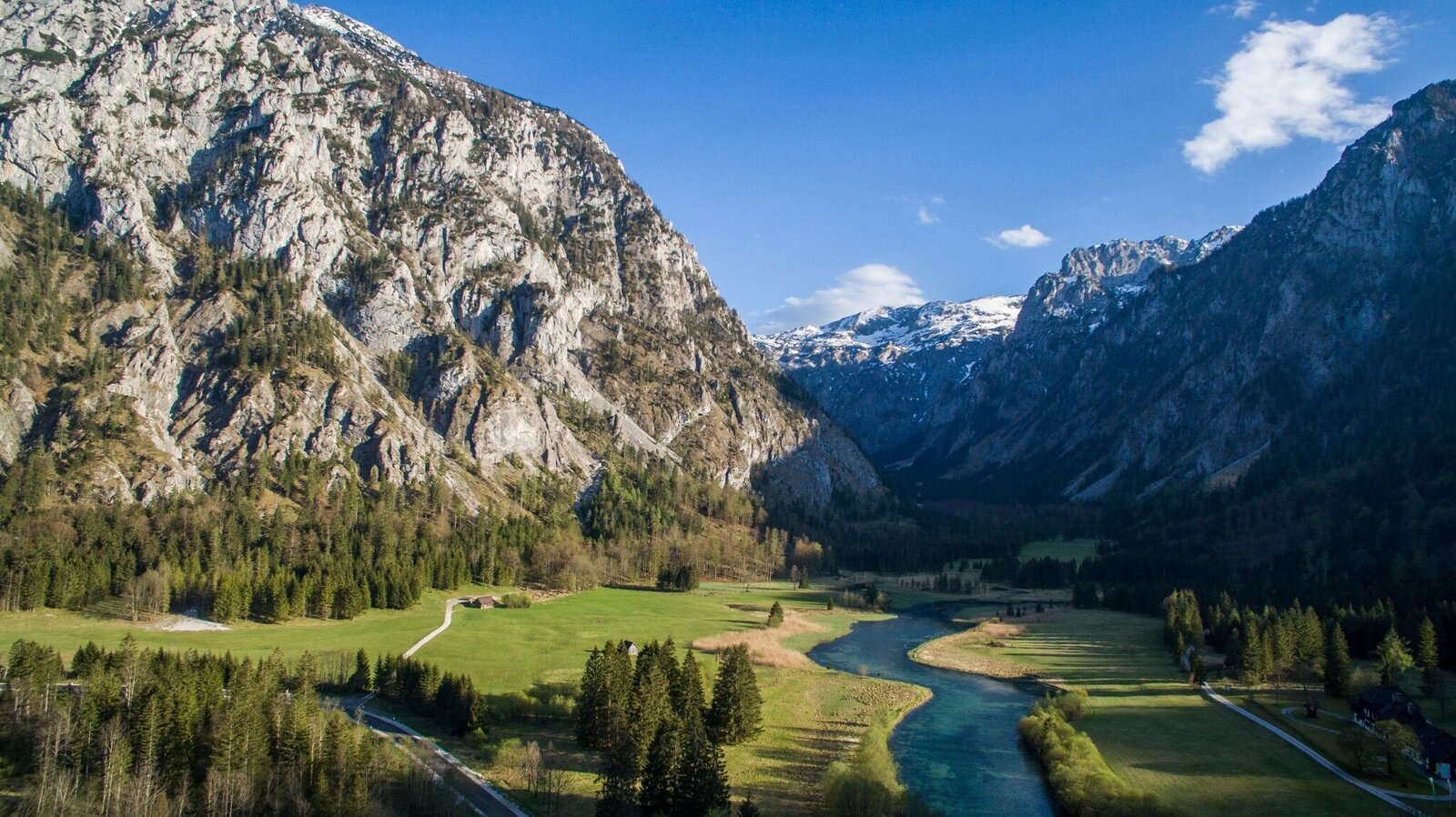
Luftaufnahme Brunntal | © Raphael Neubert / Deepview Pictures | Raphael Neubert / Deepview Pictures
2/9
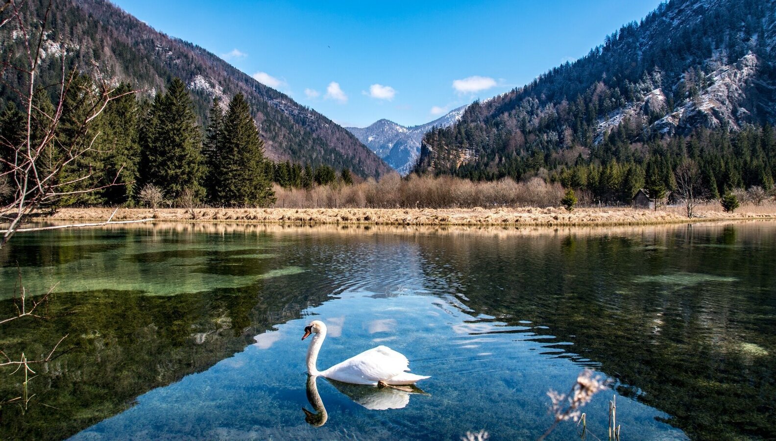
Brunsee richtung Osten | © TV Gesäuse | Christian Scheucher
3/9
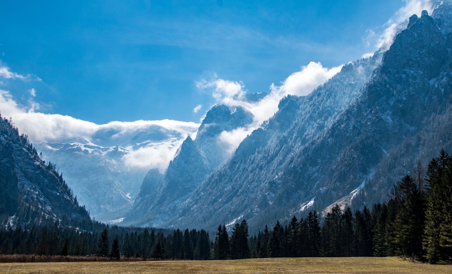
blick auf den Hochschwab/Grießstein | © TV Gesäuse | Christian Scheucher
4/9
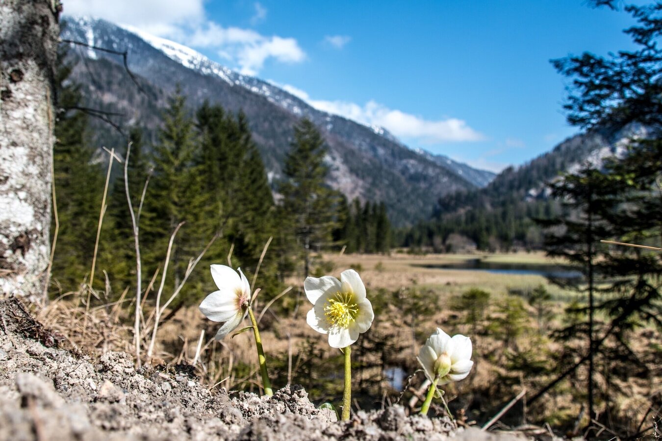
Frühling am Brunnsee | © TV Gesäuse | Christian Scheucher
5/9
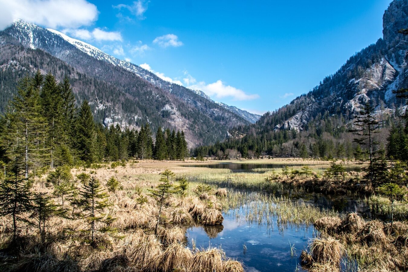
Brunsee | © TV Gesäuse | Christian Scheucher
6/9
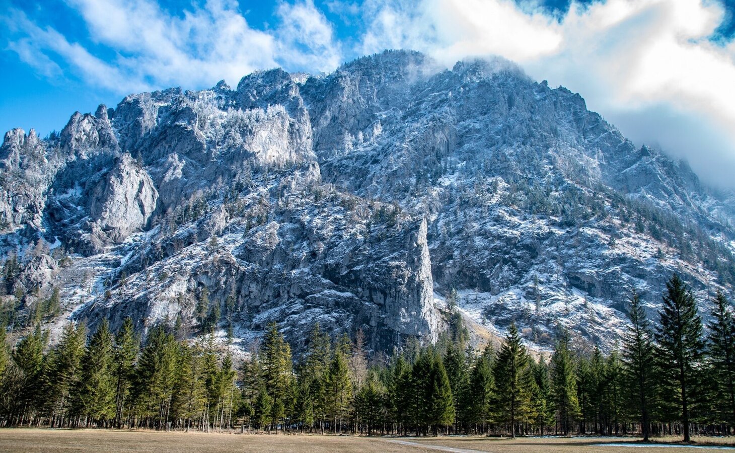
Riegerin | © TV Gesäuse | Christian Scheucher
7/9
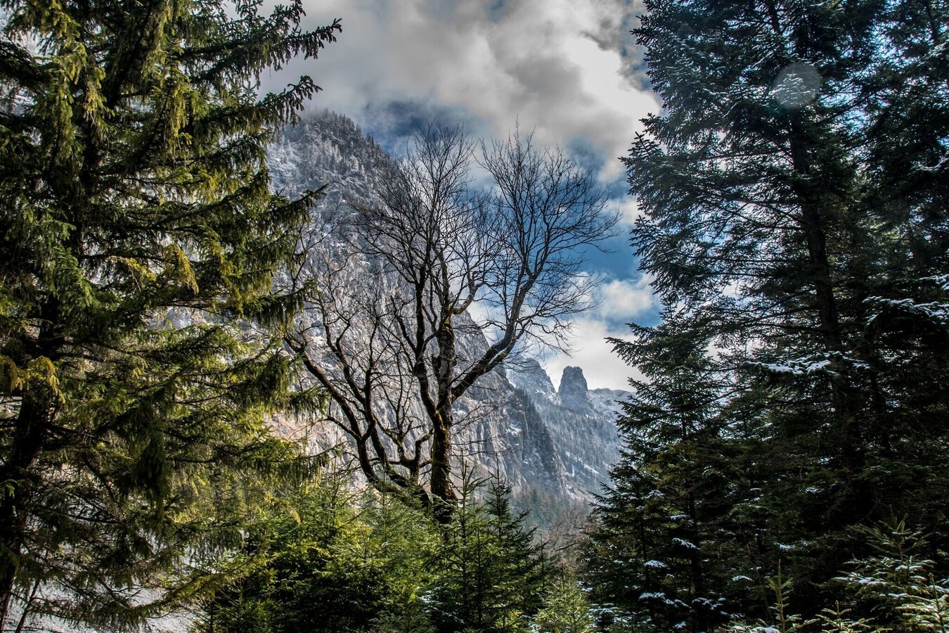
Riegerin | © TV Gesäuse | Christian Scheucher
8/9
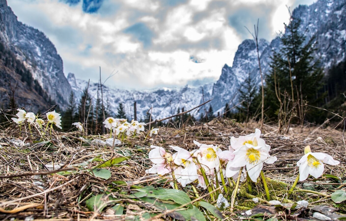
Schneerosen mit Hochschwab | © TV Gesäuse | Christian Scheucher
9/9

What the weather will be like Wildalpen (611m)
Today, 28.10.2026
Sunny in the early morning, but soon clouds will gather and will lead to light rain towards evening.Morning

2°C
sr.Regenwahrscheinlichkeit
10%
sr.Windstärke
0 km/h
Noon
12°C
sr.Regenwahrscheinlichkeit
10%
sr.Windstärke
5 km/h
Night

9°C
sr.Regenwahrscheinlichkeit
70%
sr.Windstärke
5 km/h
Tomorrow, 29.10.2026
Light rain until the early afternoon, then slowly becoming dry.Morning
6°C
sr.Regenwahrscheinlichkeit
70%
sr.Windstärke
5 km/h
Noon
10°C
sr.Regenwahrscheinlichkeit
65%
sr.Windstärke
5 km/h
Night
5°C
sr.Regenwahrscheinlichkeit
40%
sr.Windstärke
5 km/h
Forecast
30.10.2026

2°C
10°C
31.10.2026

3°C
10°C
01.11.2026
2°C
9°C
