


Auf die Goss/Hinterwildalpen
Characteristics
SkillThe tour in numbers
Level of difficulty
medium
Route
6,4 km
Time
3:00 h
Uphill
505 hm
Downhill
505 hm
Highest point
1330 m
Beautiful medium-difficulty snowshoe hike initially on forest paths then steeper ascent with wonderful views!
Great place to rest with dream views into the valley. Here you have the option of continuing on to the Buchberg or descending to Gams!
Best season
January
February
March
April
May
June
July
August
September
October
November
December
More information
Travelling to Wildalpen by car:
In Lurg, park on the right at the barrier to the forest road.
From Vienna: A1 Westautobahn exit Ybbs via Wieselburg, Scheibbs and Lunz/See to Göstling an der Ybbs continue in the direction of Palfau, at the Erzhalden junction turn off to Wildalpen.
From Vienna, Eisenstadt: Semmeringschnellstraße S6, near Mürzzuschlag onto the B23 Mariazeller Bundesstrasse and Mürzsteg and Wegscheid to Gusswerk and on the Hochschwab Bundesstrasse B24 to Wildalpen.
From Linz: A1 to Voralpenkreuz junction, A9 to Windischgarsten, Unterlaussa, Altenmarkt, Grossreifling, Palfau and Wildalpen
From Salzburg: A1 on A9 to exit Ardning/Admont, Gesäusebundesstrasse and B24 to Wildalpen
From Graz: A9 Pyhrnautobahn, exit, Traboch (near Leoben) via Präbichl/Eisenerz, Hieflau, Landl, Gams to Palfau at the Erzhalden junction turn off to Wildalpen.
In Wildalpen at the water museum approx. 6km to Hinterwildalpen and at the inn Zum Krug keep to the right after approx. 1km in Lurg turn right at the barrier to the forest path.
In Lurg, park on the right at the barrier to the forest road.
Follow the forest road until you come to a T-junction. Turn left there and follow the forest road to the end. Here we follow the Sommersteig uphill, becoming steeper and steeper, until we reach the rest area at the large rock.
Sturdy hiking boots or good trekking shoes
Hiking backpack
Water bottle
First aid kit including blister plasters
Hiking map and smartphone
Snacks
Sunglasses
Sunscreen
You should also be well prepared for changeable weather.
Packing your backpack correctly makes things much easier:
Pack heavy items first. Your water bottle should always be easily accessible in a side pocket. Everything you need frequently, such as sunglasses, your smartphone, or hiking map, should be packed on top.
Transition option to Gams or ascent option to the Buchberg!
After the round, stop off at the Zum Krug inn in Hinterwildalpen!
The best way to get there by public transport is to search for connections in advance at: www.o ebb.at or www.verbundlinie.at
Gesäuse Tourism Association
Hauptstraße 35, 8911 Admont, Austria
t:+43 3613 2116010
Email: info@gesaeuse.at
Map & downloads
Gallery
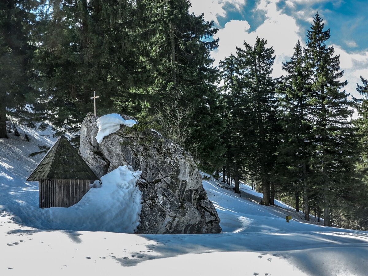
Auf der Goss im Winter | © TV Gesäuse | Tourismusverband Gesäuse
1/7
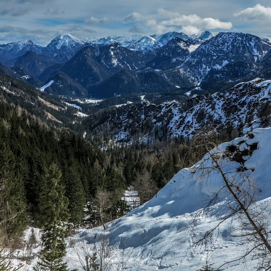
Blick von der Goss richtung Wildalpen | © TV Gesäuse | Tourismusverband Gesäuse
2/7
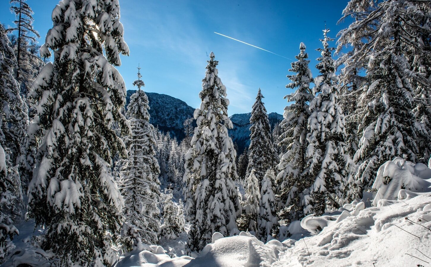
auf die goss in hinterwildalpen_img_35289732 | © TV Gesäuse | Tourismusverband Gesäuse
3/7
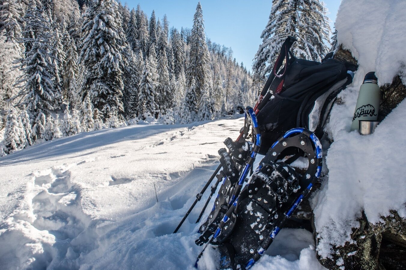
auf die goss in hinterwildalpen_img_35289734 | © TV Gesäuse | Tourismusverband Gesäuse
4/7
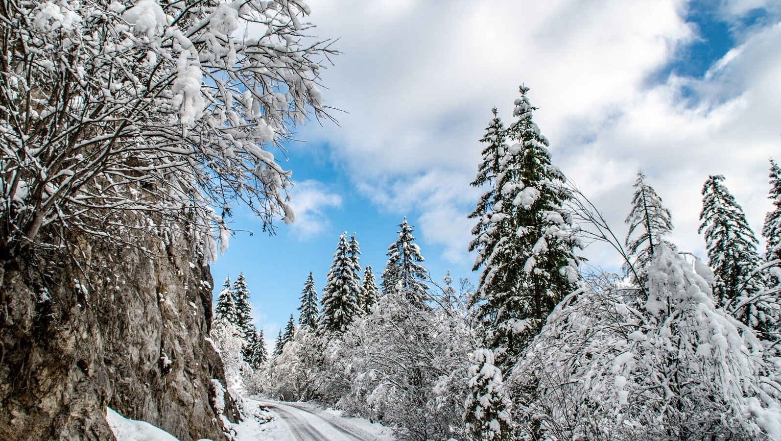
auf die goss in hinterwildalpen_img_35289729 | © TV Gesäuse | Tourismusverband Gesäuse
5/7
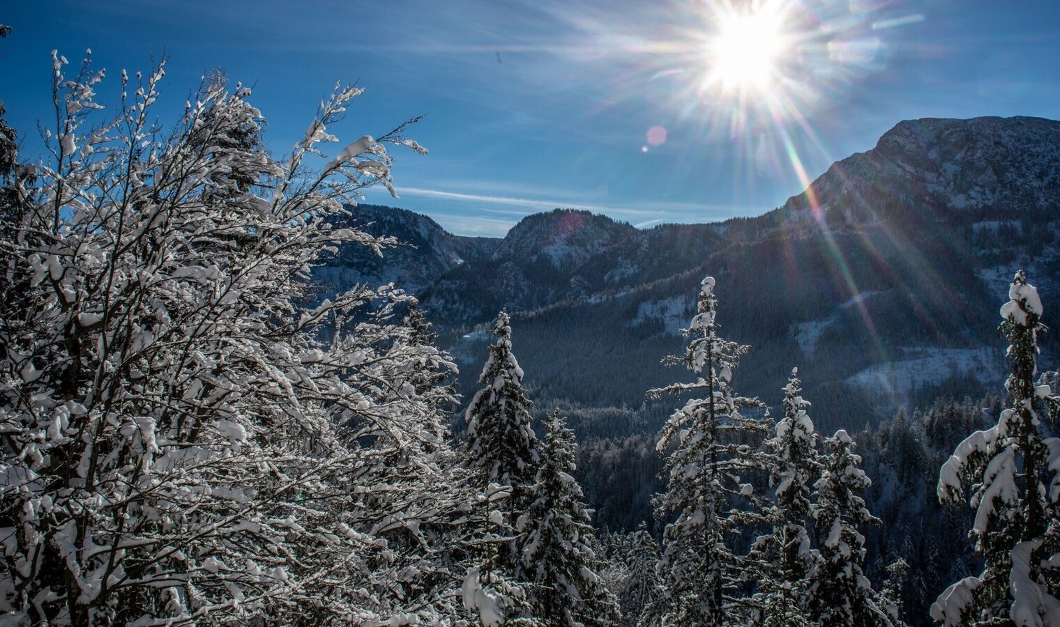
blick zurück ins Tal | © TV Gesäuse | Tourismusverband Gesäuse
6/7
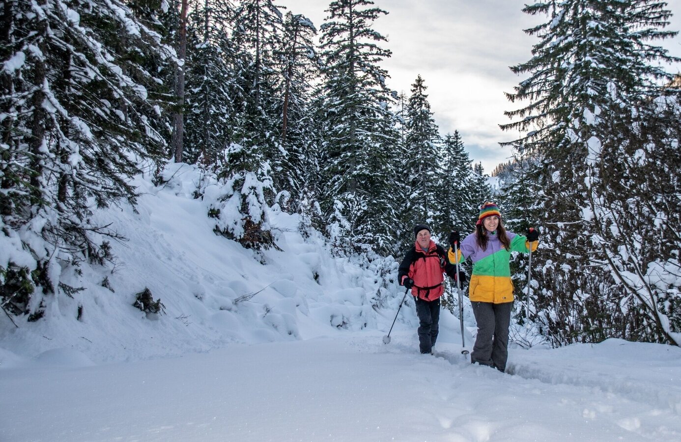
auf dem tiefverschneitem Forstweg | © TV Gesäuse | Tourismusverband Gesäuse
7/7

What the weather will be like Wildalpen (611m)
Today, 28.10.2026
Sunny in the early morning, but soon clouds will gather and will lead to light rain towards evening.Morning

2°C
sr.Regenwahrscheinlichkeit
10%
sr.Windstärke
0 km/h
Noon
12°C
sr.Regenwahrscheinlichkeit
10%
sr.Windstärke
5 km/h
Night

9°C
sr.Regenwahrscheinlichkeit
70%
sr.Windstärke
5 km/h
Tomorrow, 29.10.2026
Light rain until the early afternoon, then slowly becoming dry.Morning
6°C
sr.Regenwahrscheinlichkeit
70%
sr.Windstärke
5 km/h
Noon
10°C
sr.Regenwahrscheinlichkeit
65%
sr.Windstärke
5 km/h
Night
5°C
sr.Regenwahrscheinlichkeit
40%
sr.Windstärke
5 km/h
Forecast
30.10.2026

2°C
10°C
31.10.2026

3°C
10°C
01.11.2026
2°C
9°C
