


Admont - Hahnstein via Hunters Trail - Klinkehütte
Characteristics
SkillThe tour in numbers
Level of difficulty
challenging
Route
9,2 km
Time
6:00 h
Uphill
1199 hm
Downhill
351 hm
Highest point
1690 m
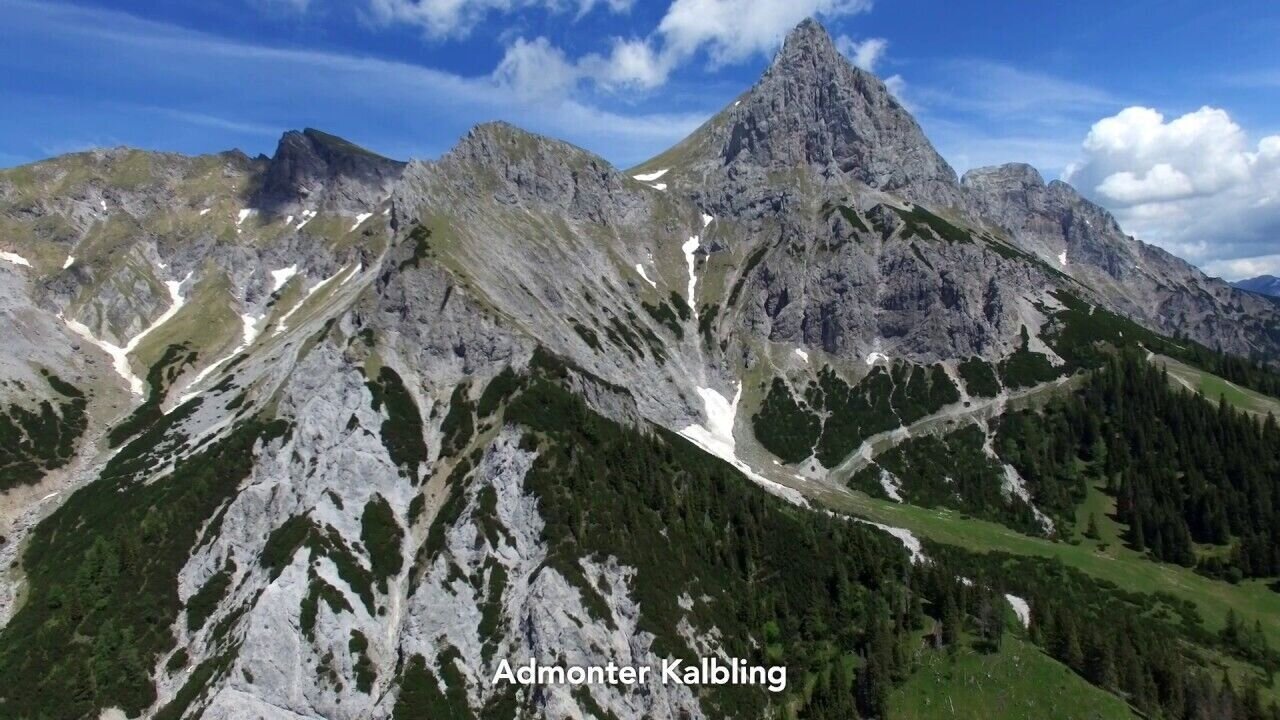
We hike from Admont up to the scenic Hahnstein and via the (difficult) Hunter`s Trail to the Klinke Hut at the foot of the Admonter Kalbling
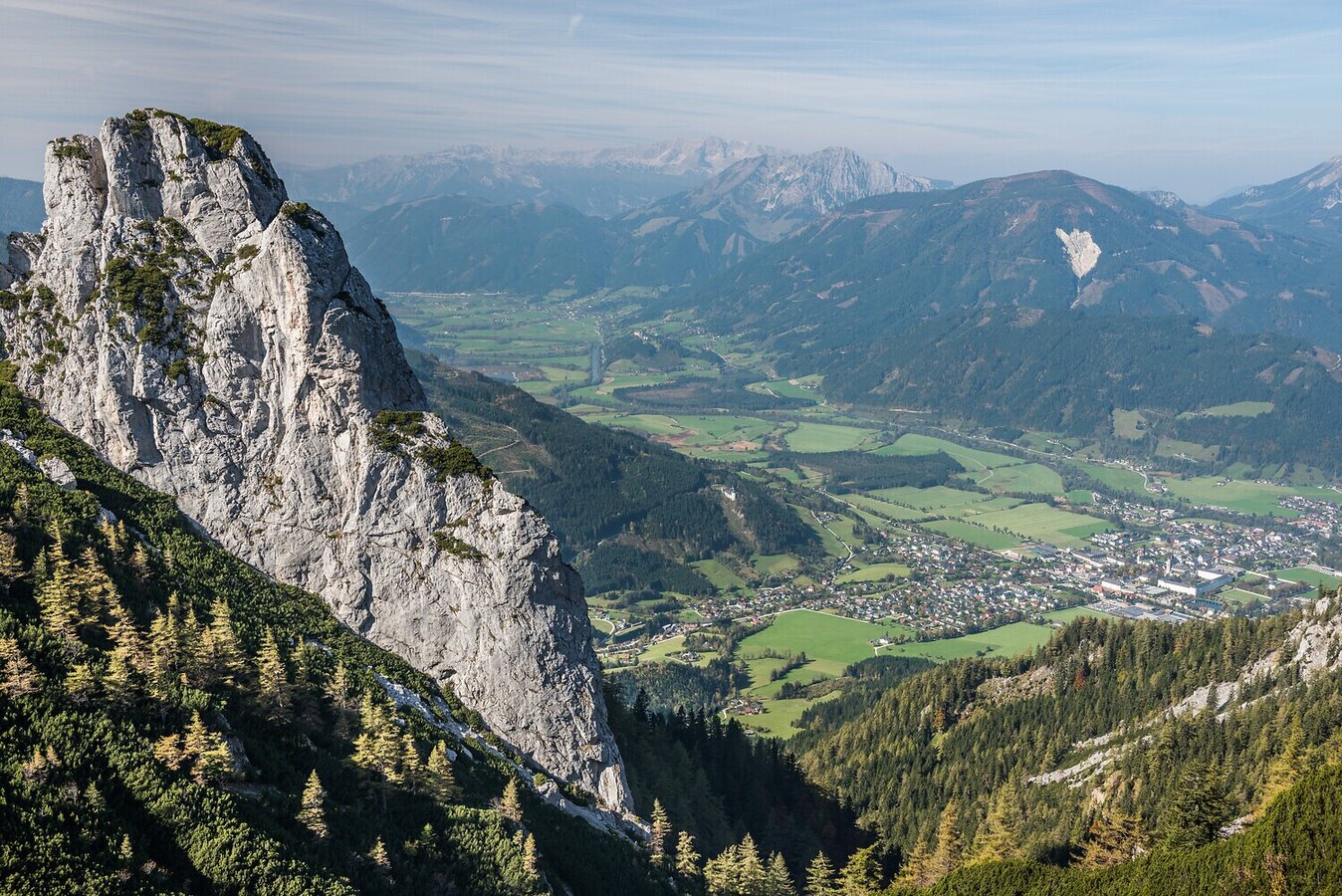
Our tour starts in the center of Admont and takes us through an avenue and a romantic forest path to the Schleiblegger Hochalm. From there, we climb up to Hahnstein, which with its rocky summit and distinctive final wall is a real highlight. Along the exposed Jägersteig, we reach the Klinke hut without any significant uphill, right below the impressive Admonter Kalbling. The route combines quiet forest trails with alpine scenery and repeatedly offers beautiful views of the Enns Valley.
Best season
January
February
March
April
May
June
July
August
September
October
November
December
More information
A9 Pyhrn motorway exit Ardning/Admont, continue towards Admont 12 km B146 Gesaeuse main road to Admont, centre
Parking behind the town hall Admont
Parking behind the town hall Admont
We start in the center of Admont and head south. After crossing the railway tracks, we turn left into the avenue. In Kematen, we follow trail no. 601 and then 601A, keeping an eye out for the Luchstrail markers. The path climbs steeply until we reach the junction to Hahnstein – a short but steep ascent brings us to the summit.
The descent goes steeply downhill over the difficult alpine hunter's trail (partly with fixed ropes) and leads to the Klinke Hut without any significant uphill sections.
Sturdy hiking boots or good trekking shoes
Hiking backpack
Water bottle
First aid kit including blister plasters
Hiking map and smartphone
Snacks
Sunglasses
Sunscreen
You should also be well prepared for changeable weather.
Packing your backpack correctly makes things much easier:
Pack heavy items first. Your water bottle should always be easily accessible in a side pocket. Everything you need frequently, such as sunglasses, your smartphone, or hiking map, should be packed on top.
Hiking backpack
Water bottle
First aid kit including blister plasters
Hiking map and smartphone
Snacks
Sunglasses
Sunscreen
You should also be well prepared for changeable weather.
Packing your backpack correctly makes things much easier:
Pack heavy items first. Your water bottle should always be easily accessible in a side pocket. Everything you need frequently, such as sunglasses, your smartphone, or hiking map, should be packed on top.
If you just want to enjoy the tour, professional mountain guides in Styria will accompany you. They ensure maximum safety, local expertise, and an unforgettable day in nature. You can find more information at https://www.steiermark.com/de/Gesaeuse/Region/Am-Berg/Bergführer
SA and SO by train from direction Selzthal or from direction Hieflau, station Admont.
from direction Liezen and Hieflau: post bus line 910 or 912, bus stop Admont - Kasteneck
www.gesaeuse.at
www.klinkehuette.at
www.sportalm-kaiserau.at
www.stiftadmont.at
Kompass Wanderkarte Nr. 206 "Nationalpark Gesäuse" Rother Wanderführer Gesäuse
www.klinkehuette.at
www.sportalm-kaiserau.at
www.stiftadmont.at
Kompass Wanderkarte Nr. 206 "Nationalpark Gesäuse" Rother Wanderführer Gesäuse
Map & downloads
Gallery
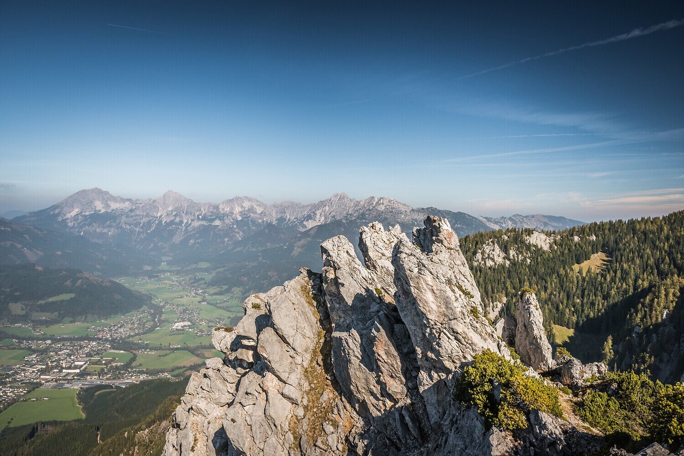
Andreas Hollinger-8718_NPG.jpg | Andreas Hollinger
1/7
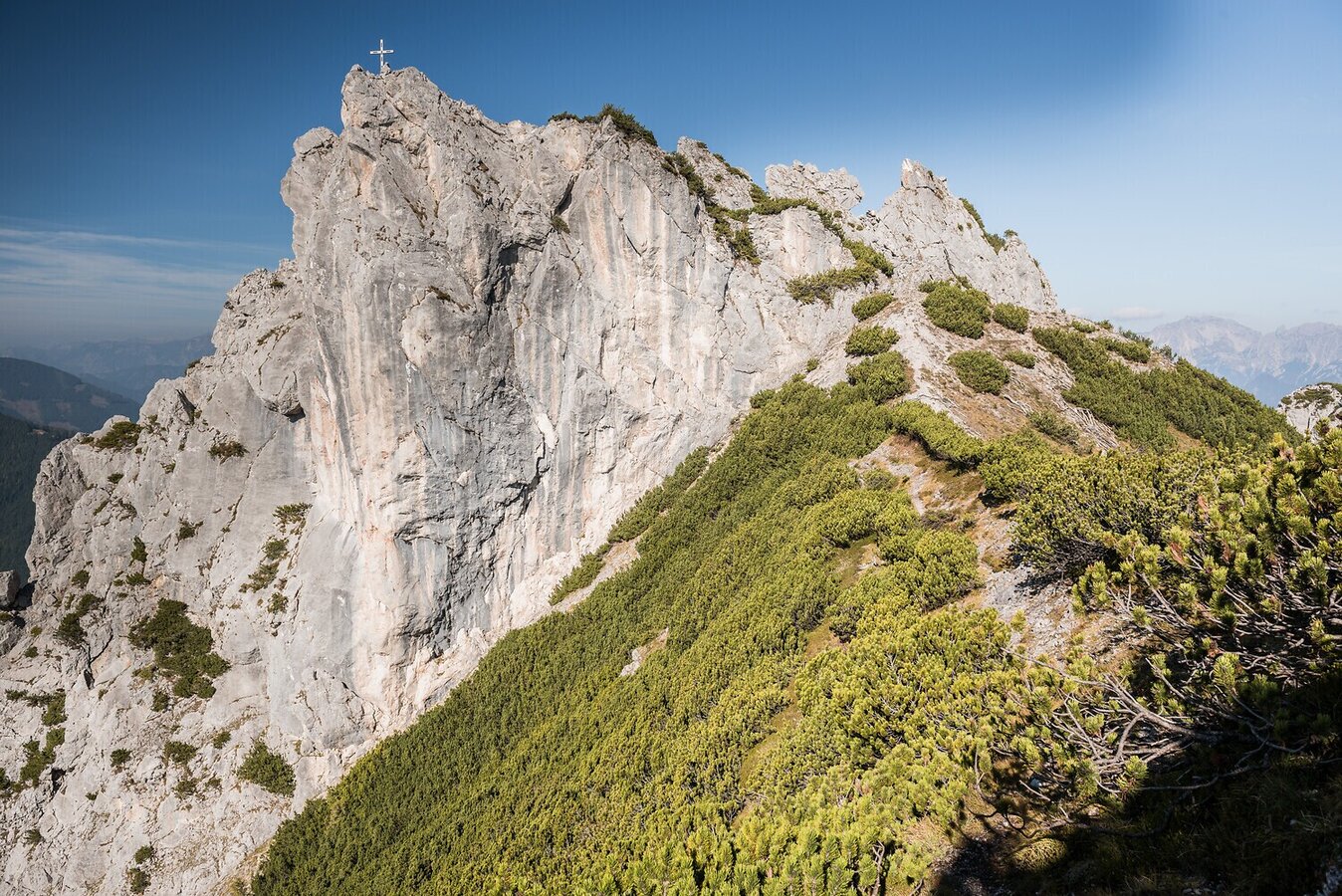
Andreas Hollinger-8691_NPG.jpg | Andreas Hollinger
2/7
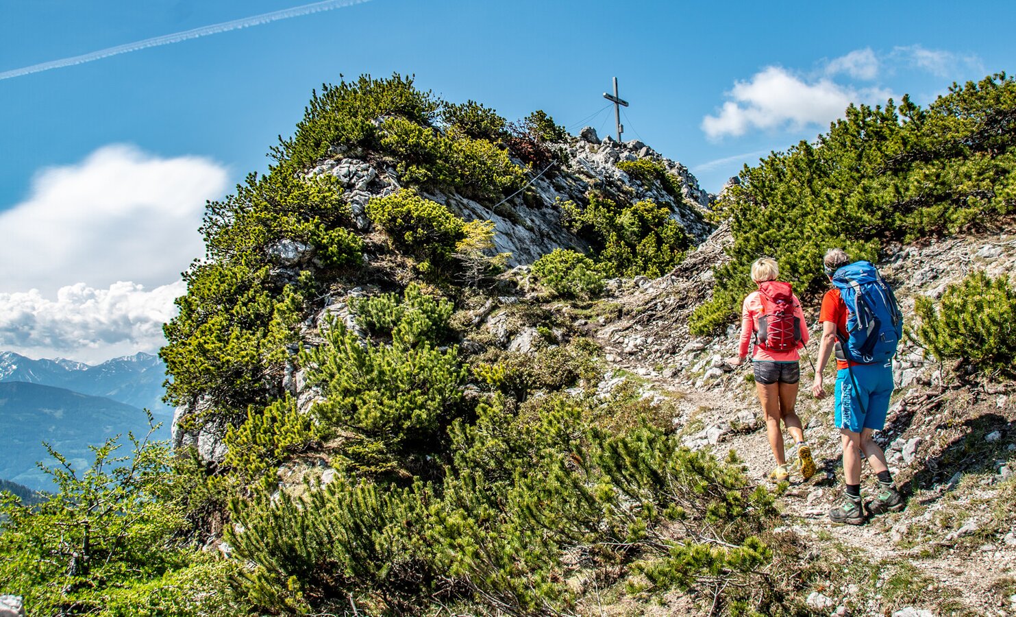
Kurz vor dem Gipfel des Hahnsteins | © TV Gesäuse | Christian Scheucher
3/7
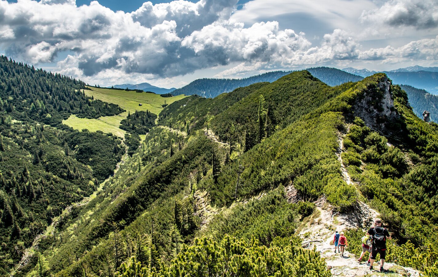
Gipfelblick | © TV Gesäuse | Christian Scheucher
4/7
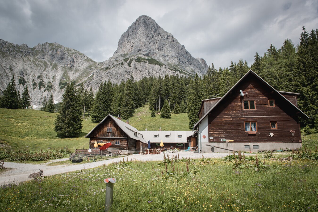
Klinkehütte mit Admonter Kalbling im Hintergrund | © TV Gesäuse | Stefan Leitner
5/7
Hütten im Gesäuse | Klinkehütte | © Tourismusverband Gesäuse
6/7
Andreas Hollinger-8768_NPG.jpg | Andreas Hollinger
7/7

What the weather will be like Admont (635m)
Today, 15.10.2026
Early clouds will clear to leave the region with a dry and sunny day.Morning

7°C
sr.Regenwahrscheinlichkeit
0%
sr.Windstärke
0 km/h
Noon

16°C
sr.Regenwahrscheinlichkeit
0%
sr.Windstärke
5 km/h
Night

9°C
sr.Regenwahrscheinlichkeit
0%
sr.Windstärke
5 km/h
Tomorrow, 16.10.2026
Some clouds in the morning, lateron much sunshine and hardly any cloudsMorning
6°C
sr.Regenwahrscheinlichkeit
0%
sr.Windstärke
0 km/h
Noon
16°C
sr.Regenwahrscheinlichkeit
0%
sr.Windstärke
0 km/h
Night
8°C
sr.Regenwahrscheinlichkeit
0%
sr.Windstärke
0 km/h
Forecast
17.10.2026
4°C
17°C
18.10.2026
7°C
17°C
19.10.2026
5°C
18°C
