


Winter hiking to the Jassingalm
Characteristics
FitnessThe tour in numbers
Level of difficulty
easy
Route
5,1 km
Time
1:30 h
Uphill
179 hm
Downhill
45 hm
Highest point
922 m
The Jassingalm is located in the municipality of Tragöß - St. Katharein | Adventure and Sports Region .
The winter hike to the Jassingalm starts at the parking lot Grüner See. From there you go past the Green Lake in the direction of Jassing. After the lake you turn right after about 500 m into the wintery old Jassing road. The path leads through a wooded area and you pass the snow-covered Wetterloch. Its story says the following: "If you put your hand in the hole and it is cold, the weather will be nice. If the air in the weather hole is warm, the weather will be bad." At the foot of imposing steep walls, the trail continues stomping to the Pfarreralm and past the Pfarrerlacke, which, however, does not have water all year round. After about one and a half hours the destination - the Jassingalm - is reached.
Best season
January
February
March
April
May
June
July
August
September
October
November
December
More information
From Vienna: Via the A2/Südautobahn and over the Semmering to Bruck/Mur. From the south: Via Graz on the A9 to the Deutschfeistritz junction, continue on the S35 to Bruck/Mur. From Germany: Via Salzburg on the A9/Pyhrnautobahn (to Knoten St. Michael) in the direction of Leoben to Bruck/Mur. Details on how to get there can be found here
Chargeable parking lot "Grüner See
Chargeable parking lot "Grüner See
Daily fee: € 6,00
The winter hike to the Jassingalm starts at the parking lot Grüner See. From there you go past the Green Lake in the direction of Jassing. After the lake you turn right after about 500 m into the wintery old Jassing road. The path leads through wooded area and you pass the snow-covered Wetterloch. At the foot of imposing steep walls, the trail continues stomping to the Pfarreralm and past the Pfarrerlacke, which, however, does not have water all year round. After about one and a half hours the destination - the Jassingalm - is reached.
Emergency call rescue: 144Emergency Reporting Tip - Provide answers to the six W questions: What happened? How many injured? Where did the accident happen (possibly GPS coordinates)? Who is reporting (callback number)? When did the accident happen? Weather at the accident site? When choosing a winter hike or snowshoe tour, weather, snow and avalanche situation are essential criteria. Basically, the decision of the tour depends on your own experience and basic physical condition. In advance, factors such as weather, avalanche situation report and equipment, must be clarified in detail. Even if you have prepared perfectly, the given weather and snow conditions and the physical condition of the day during the hike itself must also be taken into account. Thus, there is an important basic rule: please turn around if the hike becomes too strenuous or if the external conditions require it.Spikes are now indispensable as a winter hiking utensil. These "snow chains" for mountain boots have become increasingly popular in recent winters and belong as standard in the winter hiking backpack. Walking times: The walking time given is to be understood as a guideline, as it depends on the snow conditions, the terrain and the presence of a trail. The individual condition and the stamina for strenuous trail work also play an important role. Sometimes the duration of the tour can change considerably due to large amounts of new snow, broken slush, soft sulzing snow, etc. Alpine emergency call: Mountain rescue emergency number: 140EU emergency number: 112Weather service:www.zamg.ac.atDirect link mountain weather Styria:https://www.zamg.ac.at/cms/de/wetter/produkte-und-services/bergwetter/steiermark
Cozy stop at the JassingalmOpening hours Thu- Sun from 11 am - 7 pm
Directly from the train station Bruck an der Mur the bus line 175 goes to Tragöß.May 1 to November 1 (hiking season): Monday to Sunday2. November to 30. April: ONLY from Monday to FridayTimetables and travel information can be found directly at:Austrian Federal Railways (ÖBB)Styrian State Railways (STLB)www.busbahnbim.at With the BusBahnBim app of Verbundlinie, timetable information has never been easier: all connections by bus, train and streetcar in Austria can be queried by entering places and/or addresses, stops or important points. The app is available as a free app for smartphones (Android, iOS) - on Google Play and in the App Store.
Tourismusinformation Tragöss - Grüner See
Oberort 45
8612 Tragöß - St. Katharein
Phone: +43 3868 8330
gruenersee@tragoess-st-katharein.gv.at
Tourismusverband Erzberg-Leoben
Homanngasse 12
8700 Leoben
Phone: +43 3842 48148
office@erzberg-leoben.at
Map & downloads
Gallery
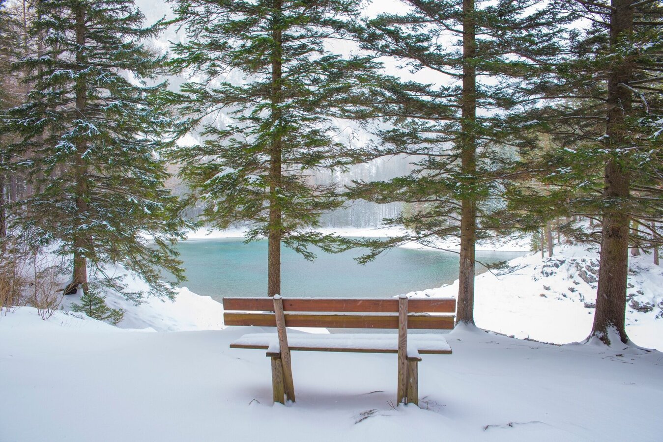
Winter am Grünen See | © Tourismusverband ERZBERG LEOBEN | Eva Roßböck
1/6
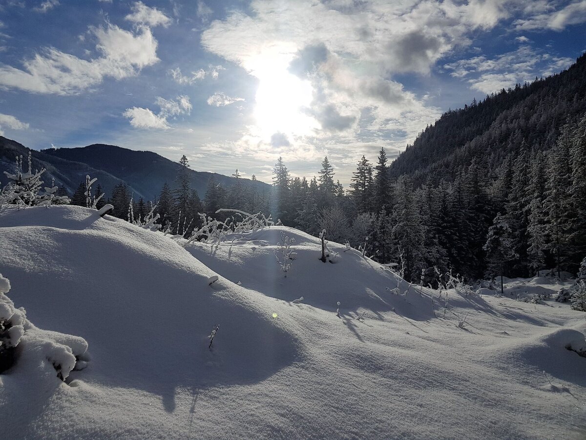
Winterlandschaft Tragöß - St. Katharein | © TVB Erzberg-Leoben | Tina Sommerauer
2/6
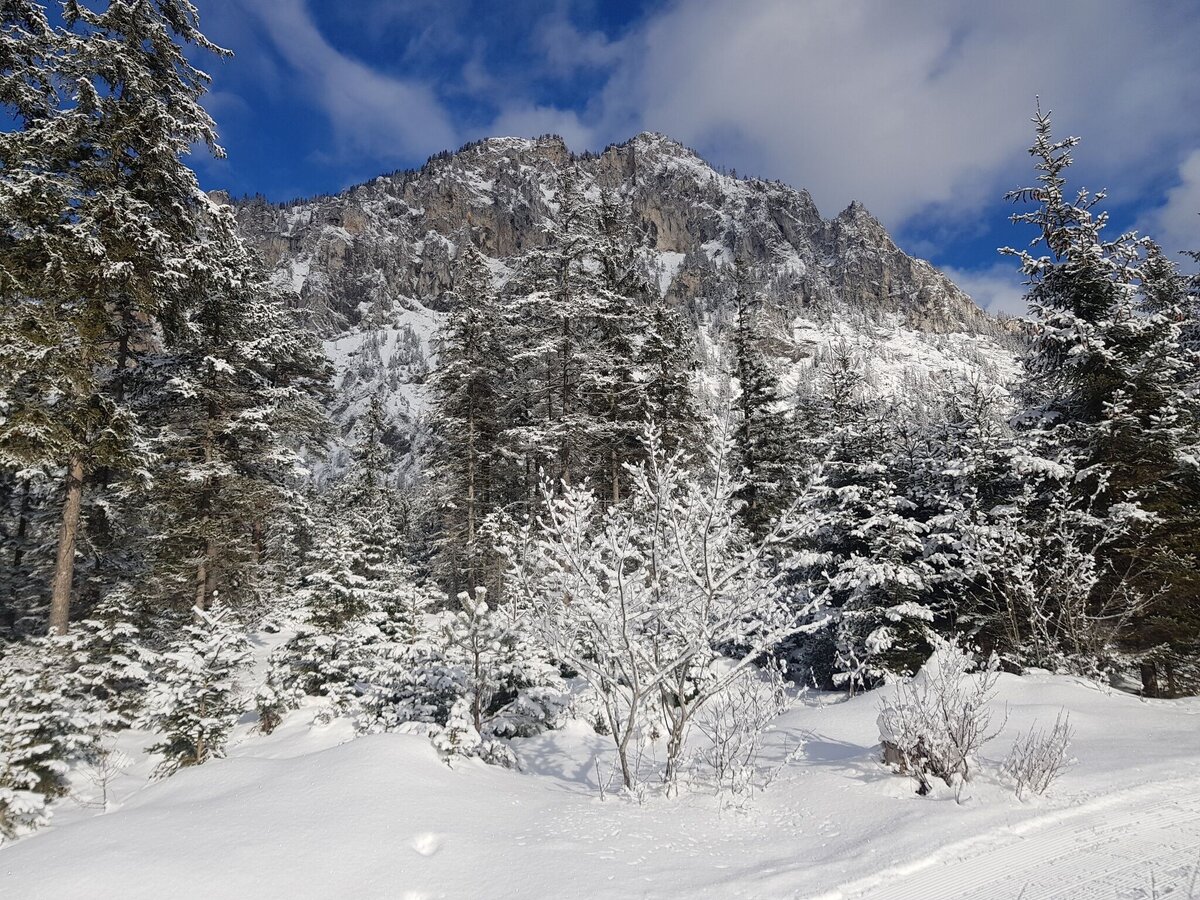
winterwandern zur jassingalm_img_75695671 | © Tourismusverband ERZBERG LEOBEN | Tina Sommerauer
3/6
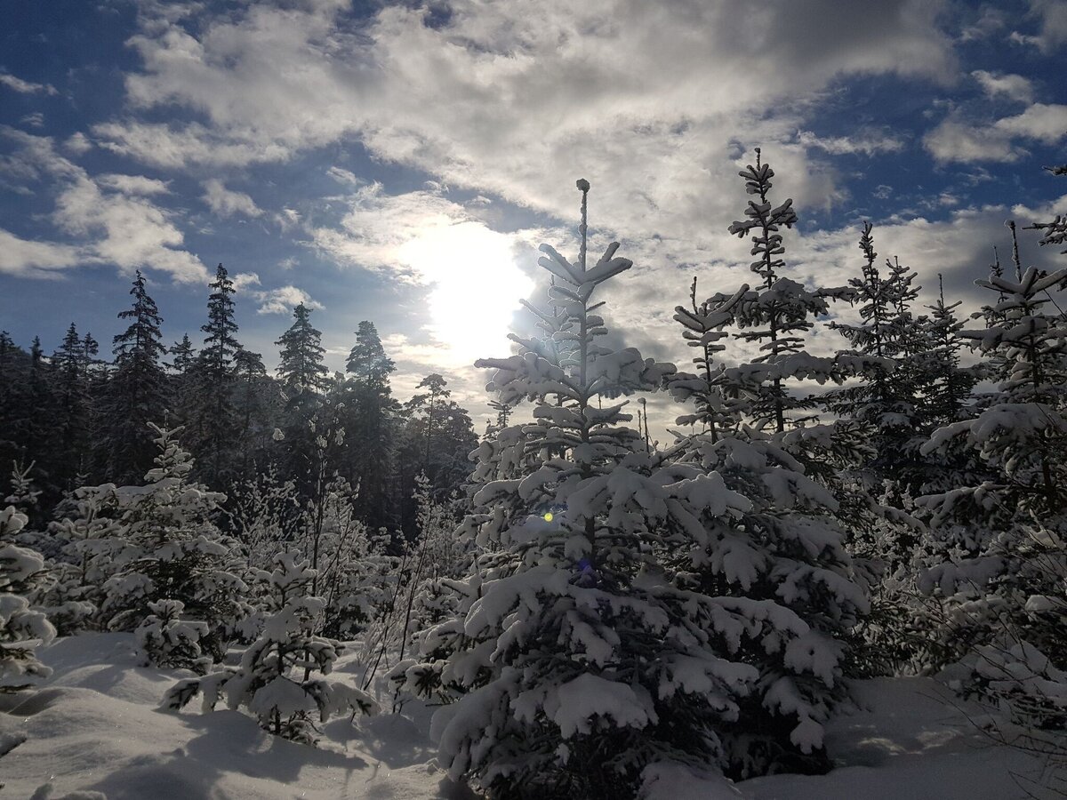
Winter in Tragöß - St. Katharein | © Tourismusverband ERZBERG LEOBEN | Tina Sommerauer
4/6
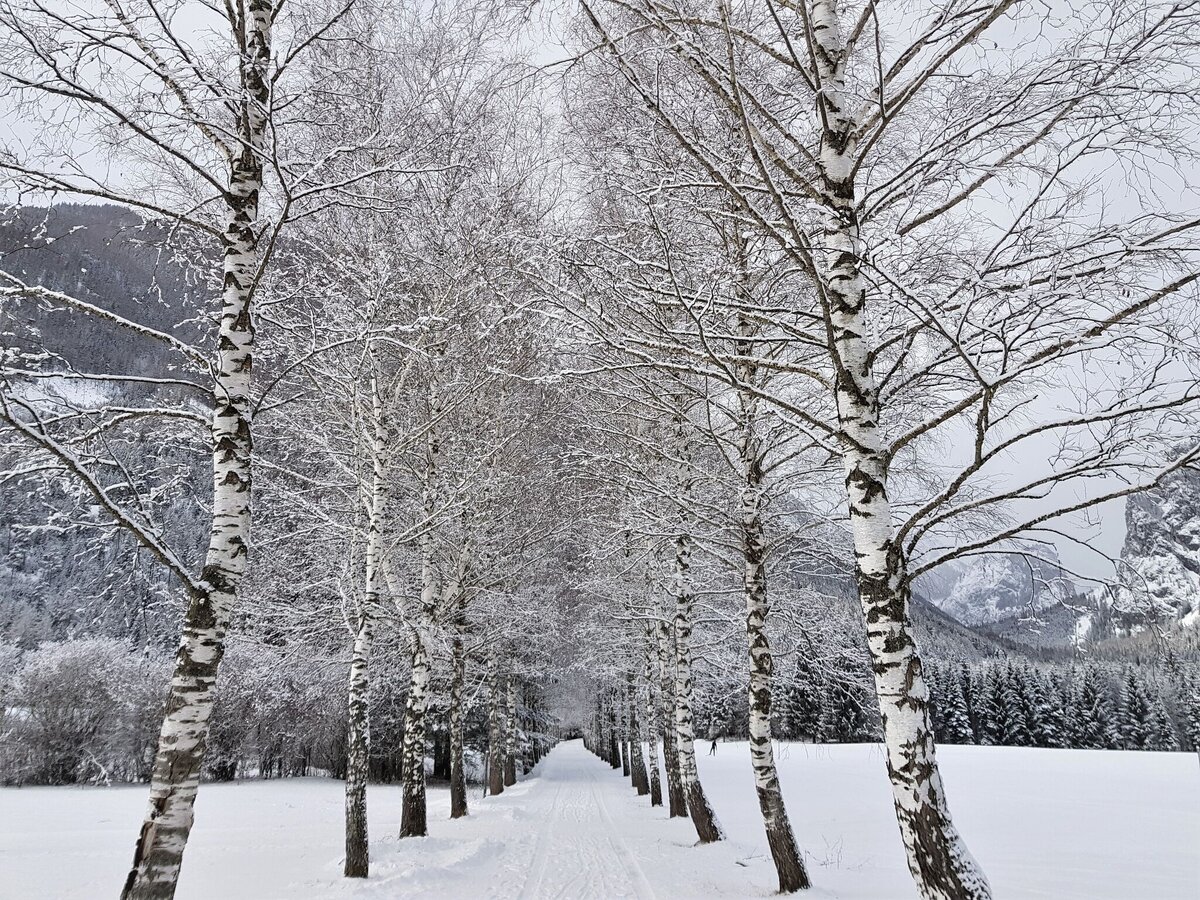
Winterlandschaft Tragöß | © TVB Erzberg-Leoben | Tina Sommerauer
5/6
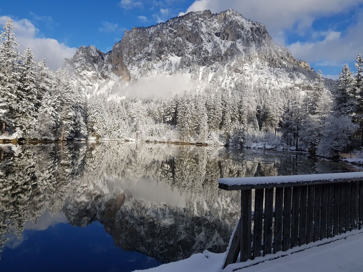
Kreuzteich Tragöß-St. Katharein | © TVB Erzberg-Leoben | Tina Sommerauer
6/6

What the weather will be like Tragöß-Sankt Katharein (650m)
Today, 27.09.2026
Dry and partly sunny throughout the day, with cloudy periods from time to time.Morning

7°C
sr.Regenwahrscheinlichkeit
0%
sr.Windstärke
0 km/h
Noon
19°C
sr.Regenwahrscheinlichkeit
0%
sr.Windstärke
5 km/h
Night
12°C
sr.Regenwahrscheinlichkeit
0%
sr.Windstärke
0 km/h
Tomorrow, 28.09.2026
Early clouds will clear to leave the region with a dry and sunny day.Morning

7°C
sr.Regenwahrscheinlichkeit
0%
sr.Windstärke
0 km/h
Noon
20°C
sr.Regenwahrscheinlichkeit
0%
sr.Windstärke
5 km/h
Night

12°C
sr.Regenwahrscheinlichkeit
0%
sr.Windstärke
0 km/h
Forecast
29.09.2026
7°C
22°C
30.09.2026
7°C
22°C
01.10.2026
7°C
21°C
