


Round hike from Tragöß to the Sonnschienalm
Characteristics
SkillThe tour in numbers
Level of difficulty
medium
Route
17,4 km
Time
5:45 h
Uphill
890 hm
Downhill
890 hm
Highest point
1542 m
The hike leads through the gorge, further over the gorge floors to the high plateaus of the Sonnschienalm and over a striking trough valley to the Green Lake. The hike is located in the ERZBERG LEOBEN region.
The attractive backdrop of the rugged rock faces, the alpine pastures in the karstified landscape and the numerous huts certainly make the Hochschwab massif one of the most popular hiking destinations in eastern Austria. This circular hike wonderfully combines several limestone highlights: a gorge, the impressive meadow areas of the Klammböden, the wide plateau of the Sonnschienalm, the descent via the Russenstraße and the Grüner See. The first part of the ascent to the head of the valley at the 2nd Klammboden is leisurely, followed by a steeper section of trail. Once at the plateau, the striking karst plateau character awaits us with several places to stop for refreshments at the Sonnschienalm. The descent via the Russenstraße, which was built by Russian prisoners of war of the First World War, is an attractive descent option. The final section of the trail follows the valley floor to the Grüner See lake, which is fed exclusively by springs. This scenic gem changes color as the water level changes.
Best season
January
February
March
April
May
June
July
August
September
October
November
December
More information
Freeway S6, exit Bruck an der Mur or depending on the direction Oberaich, continue on the 116 direction Kapfenberg until the turn Tragöss L111 to Tragöß Oberort and another 1km to the paid parking lot direction Grüner See.
Paid parking just before the parish pond.
Paid parking just before the parish pond.
Daily fee € 6,00
We start at the parking lot (1), 755 m, from the Green Lake in Tragöß-Oberort and walk directly through the parking lot area in the direction of the gorge or walkway to the Green Lake. The hiking trail 837 branches off to the right after about 500 meters in the direction of the gorge. The trail leads slightly uphill and ends in a forest road, which we now follow to the left. We pass the "Frühstückstein" (breakfast stone) and follow the red-white-red marking to the crossroads and the waypoint Klammhöhe (2), 970m. Here we keep to the left, following the trail, which is partly parallel to the road. After passing the gate of a game gate, the imposing path through the gorge begins. A wide gravel road leads uphill, passing the spring "Klammbründl", to the 1st gorge bottom. Here is the crossroads in the direction of Scheideck and on to the Bodenbauer. Our path continues across the plain, in succession with a slight ascent to the 2nd Klammboden (3), 1068 m. At the end of the valley floor the steeper part of the trail begins. A nicely laid out and easily passable path leads uphill to a crossroads (4), 1336 m, where we continue to the left and shortly after reach the "Ameisbühel". Slightly uphill, the trail leads through a karst landscape rich in flowers to the alpine plateau of the Sonnschienalm (5), 1523m. Here you will find numerous alpine huts and the well-known Sonnschienhütte. After a leisurely break, we orient ourselves by the trail marker 836 in the direction of Russenstraße - Jassing / Tragöß. We hike across the plateau, always staying on the gravel road, which leads continuously downhill in succession. The path passes by the junction to the Senkboden and Hörndlalm. Now we use the footpaths that shorten the Russenstraße. Back on the gravel road, we soon pass the waypoint Sonnschientörl (6), 1379 m. In the first bend after the avalanche passage, a large part of the Russenstraße is shortened, namely by heavily used, but not marked, paths. Arriving back at the road, we are directly at a dry (weather permitting) wide stream bed. The next 1.6 km we hike along the gravel road to the parking lot Jassing (7), 892 m, and thus also reach the valley floor. Out of the valley, the hiking trail first leads along the road, and after about 1.2 km it branches off to the left onto a forest road. We hike slightly up and down for about 1.3 km until we reach the asphalt road and soon see the entrance to the Seesteig on the left. We come directly to the Grüner See (8), 768 m, walk to the right along the lake shore, to come back to the road immediately afterwards. Follow this road out of the valley, past the Gasthof Seehof, to our starting point.
For a conflict-free coexistence on alpine pastures and meadows, it is important to observe a few rules, especially when traveling with dogs. (Source: www.sichere-almen.at - 06/2021)
- Avoid contact with grazing animals, do not feed them, keep a safe distance!Keep calm, do not frighten grazing animals!
- Mother cows protect their calves. Avoid encounters between mother cows and dogs!
- Always keep dogs under control and on a short leash. If an attack by a grazing animal is foreseeable: Immediately unleash!
- Do not leave hiking trails on alpine pastures and meadows!
- If grazing animals block the way, avoid them as far as possible!
- When grazing animals approach: Stay calm, do not turn your back, avoid the animals!
- Leave the grazing area quickly at the first sign of restlessness of the animals!
- Fences must be respected!
- If there is a gate, use it, then close it well and cross the pasture quickly!
- Treat the people working here, nature and the animals with respect!
A few tips for correct and fair behavior in the forest: (Source: www.bundesforste.at - 6/2021)
- Hikers should avoid visits to the forest about 1.5 hours before sunrise and after sunset, as wildlife is especially active during this time.
- Plastic bottles, handkerchiefs, cigarette butts & Co have no place in the forest! Please make sure that you do not leave any trash in the forest.
- Camping and making fire - is strictly forbidden in the forest!
- In principle, each person is allowed to collect 2 kg of mushrooms and berries per day for personal use in the forest.
- It is only forbidden if the forest owner expressly forbids it.
Eine ordentliche Planung ist ein Muss vor jeder Tour.
Notruf Rettung: 144 Tipp zur Notfallmeldung – Antworten auf die sechs W-Fragen geben: Was ist passiert? Wieviele Verletzte? Wo ist der Unfall passiert (eventuell GPS-Koordinaten)? Wer meldet (Rückrufnummer)? Wann ist der Unfall passiert? Wetter am Unfallort?
Alpiner Notruf: Notrufnummer der Bergrettung: 140 EU-Notruf: 112
Wetterdienst: www.zamg.ac.at Direktlink Bergwetter Steiermark:
- Backpack with rain cover
- Telescopic / hiking poles
- Mountain / hiking boots
- Gloves: waterproof and warming
- Headgear / sunglasses
- Outerwear: Onion layering system, T-shirt, sweater, jacket and winter jacket with hood
- Hiking pants
- Seat pad
- Drinking bottle / thermos flask (on cooler days a warming drink is pleasant)
- Snack
- First aid kit with blister plaster and tick tongs
Other important equipment
- Route description
- Detailed plan of the hike
- Hiking map: For overview a map in scale 1 : 50 000 of the respective region
- GPS device
- cell phone
In the period from Sept. 15 to Oct. 15, the huts around the Sonnschienalm are closed for hunting and forestry reasons.
Timetables for bus line 175 from Bruck an der Mur to Tragöß-Oberort.
An important part of a tour preparation is to deal with the journey. If you want to travel to the hike by public transport, you should find out about the Freizeit-Ticket Steiermark. With this ticket, you can travel across Styria for a whole day (Saturdays, Sundays and public holidays) for € 13,00.
Timetables for bus line 175 (Bruck a.d. Mur to Tragöß-Oberort). Info: www.verbundlinie.at, ✆ +43 50 678910.
General information about public transport to the region: www.verbundlinie.at
By train to Bruck and then by bus to Tragöß.
Last ride from Tragöß-Oberort back to Bruck an der Mur on weekends at 5:15 pm.
Tourismusverband ERZBERG LEOBEN
Tourist office
Hauptplatz 3
8700 Leoben
Phone: +43 3842 481 4 810
office@erzberg-leoben.at
Gasthof zur Post, ✆ +43 3868 8203
Hoamat-Kaffee, ✆ +43 676 946 6 562
On the road
Sonnschienhütte, For inquiries please contact: Sonnschien-Hütte, Hochschwabgruppe Startseite
Seehof Wenninger, ✆ +43 699 114 91 720
Freytag & Berndt WK 041 Hochschwab, Veitschalpe, Eisenerz, Bruck an der Mur; Wander-Rad-Freizeitkarte
Rother Wanderführer HochschwabMap & downloads
Gallery
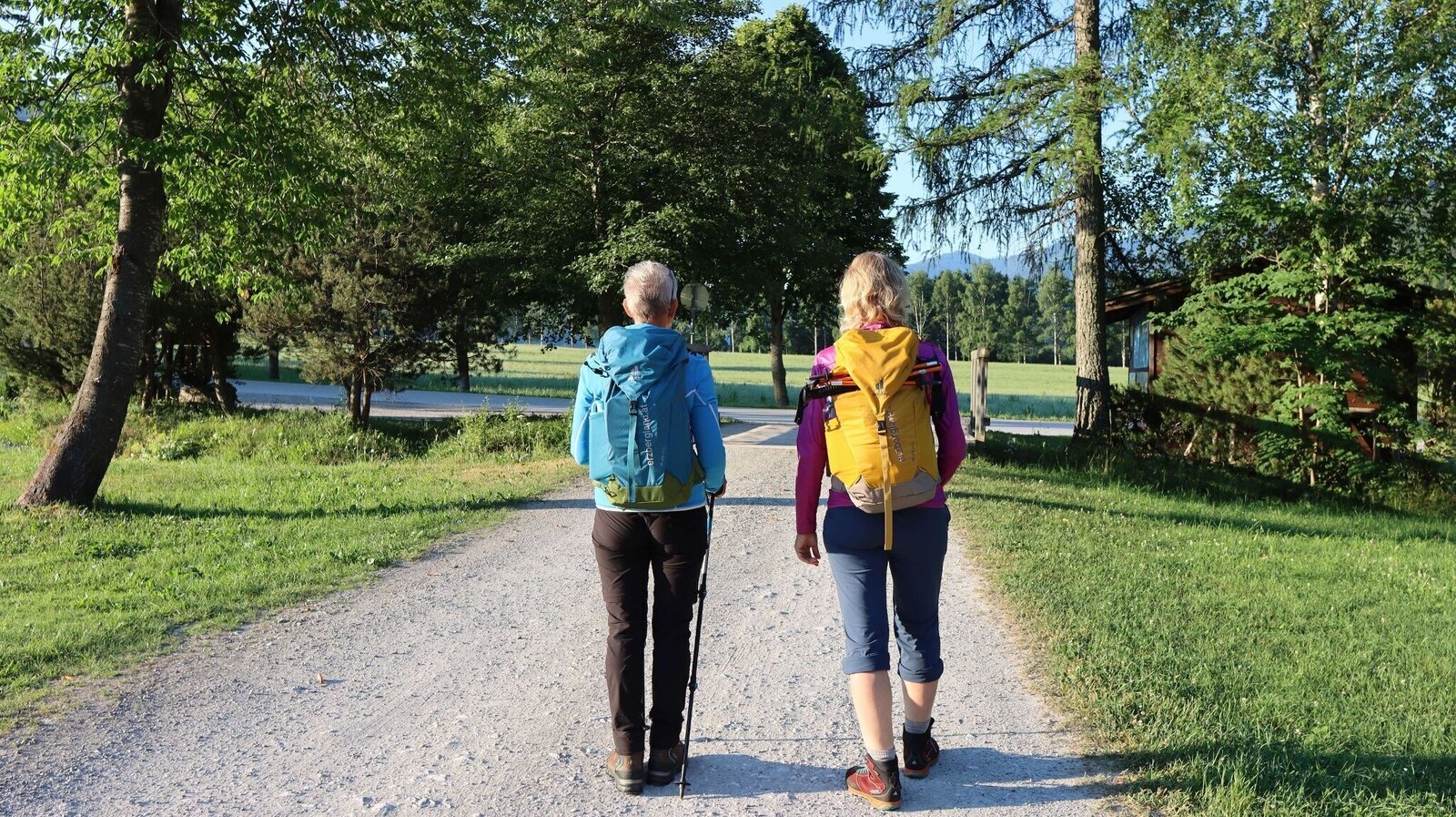
Wir starten beim Parkplatz | © Weges OG | Weges OG
1/13
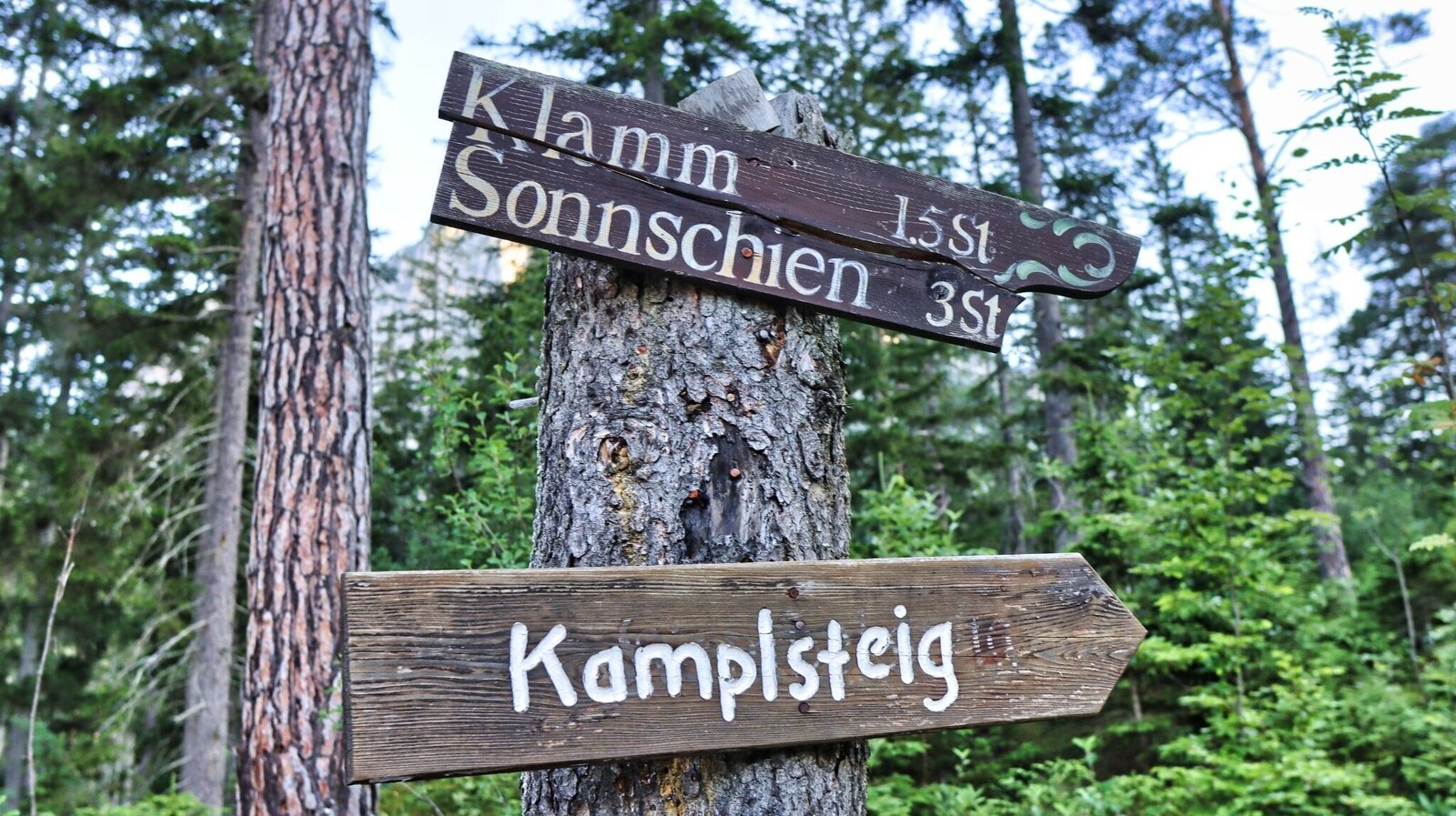
Schilder weisen uns den Weg | © Weges OG | Weges OG
2/13
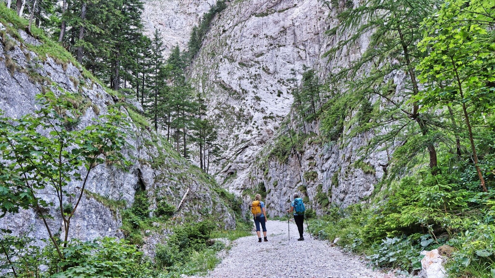
Der Aufstieg führt durch die Klamm | © Weges OG | Weges OG
3/13
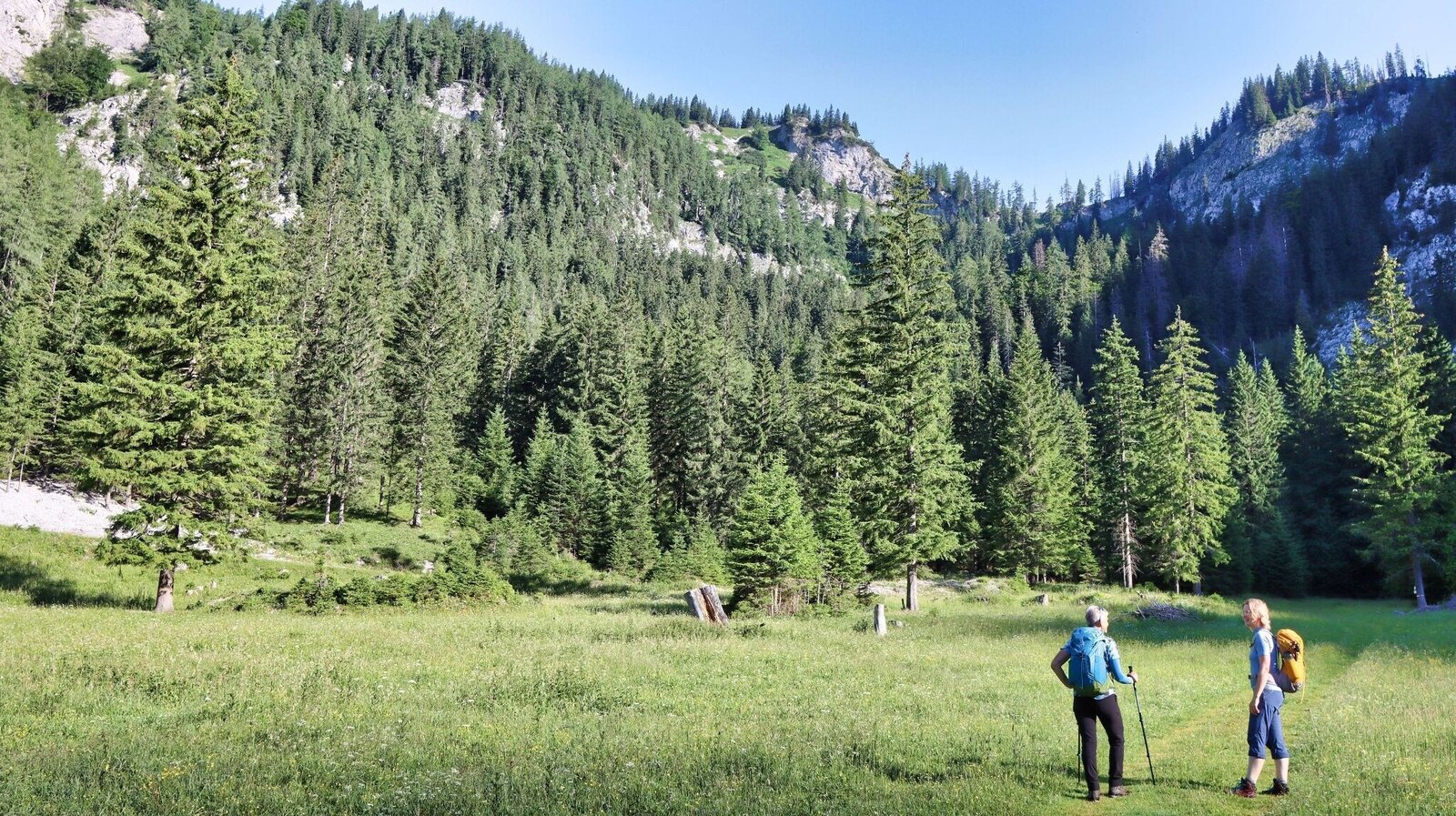
Am Klammboden | © Weges OG | Weges OG
4/13
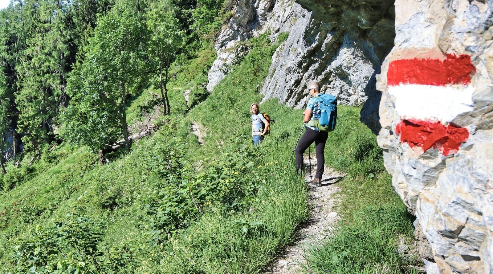
Nach dem Klammboden kurzer und steiler Aufstieg | © Weges OG | Weges OG
5/13
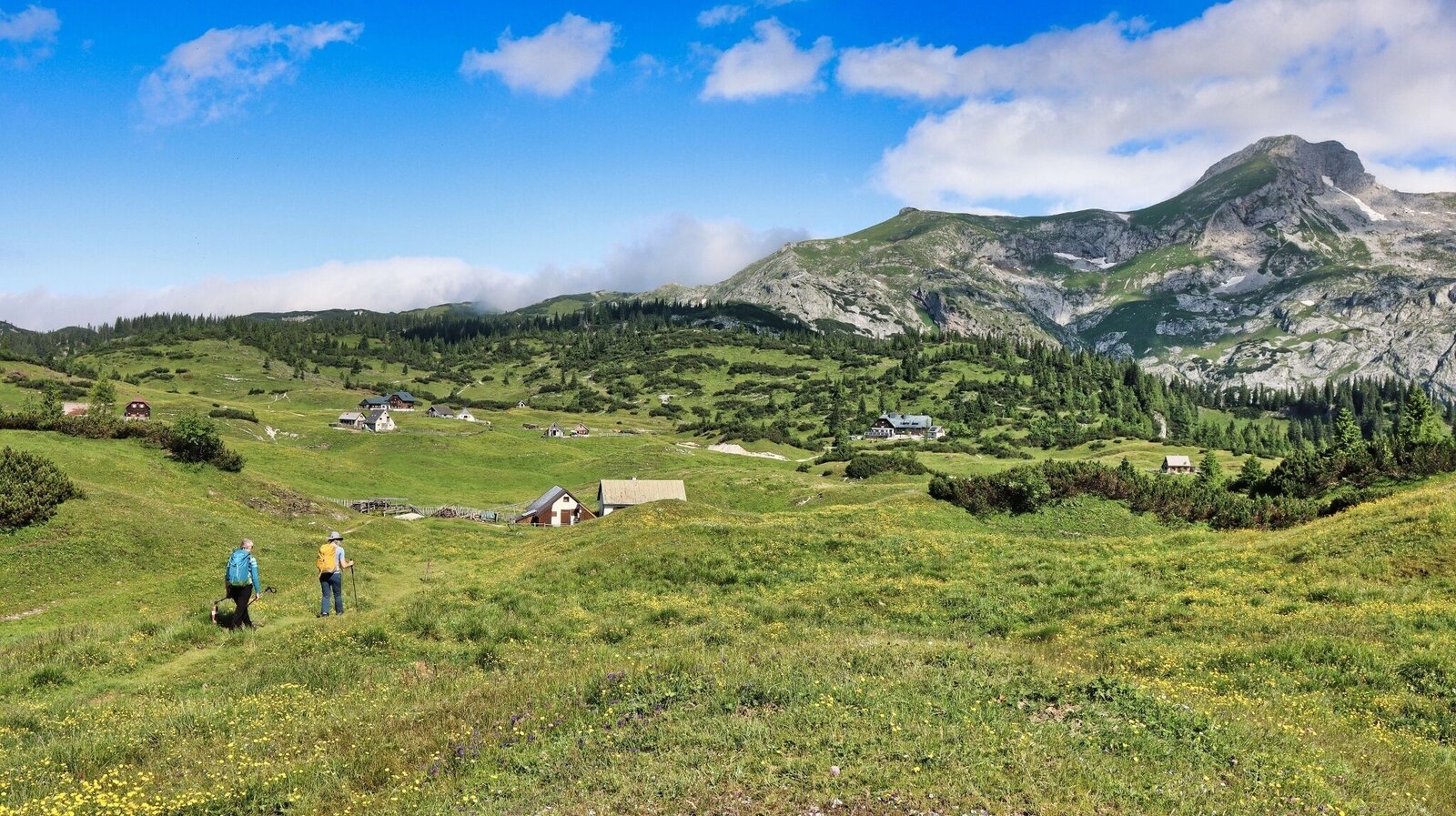
Wir wandern auf die Sonnschienalm zu | © Weges OG | Weges OG
6/13
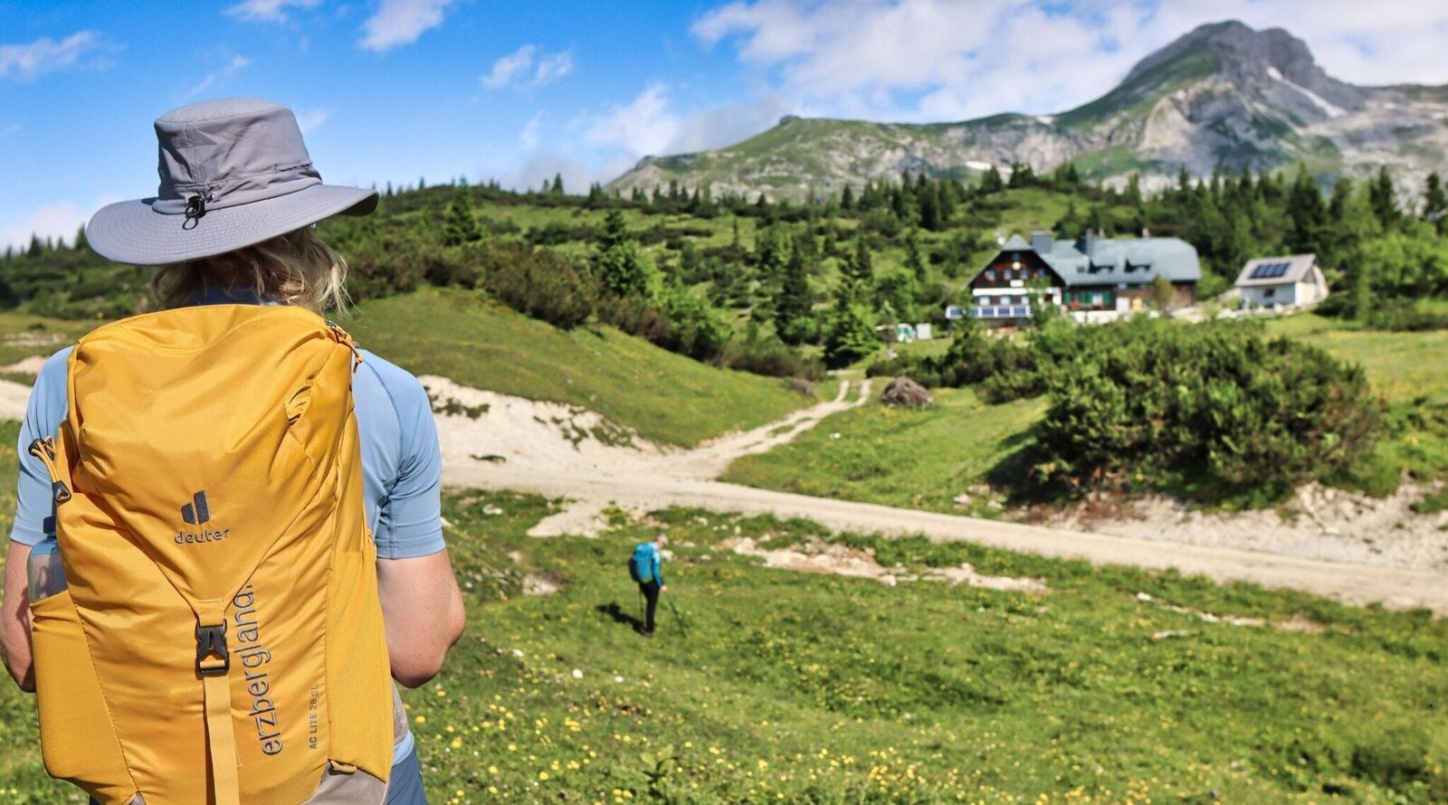
Herrliche Kulisse kurz vor dem Ziel | © Weges OG | Weges OG
7/13
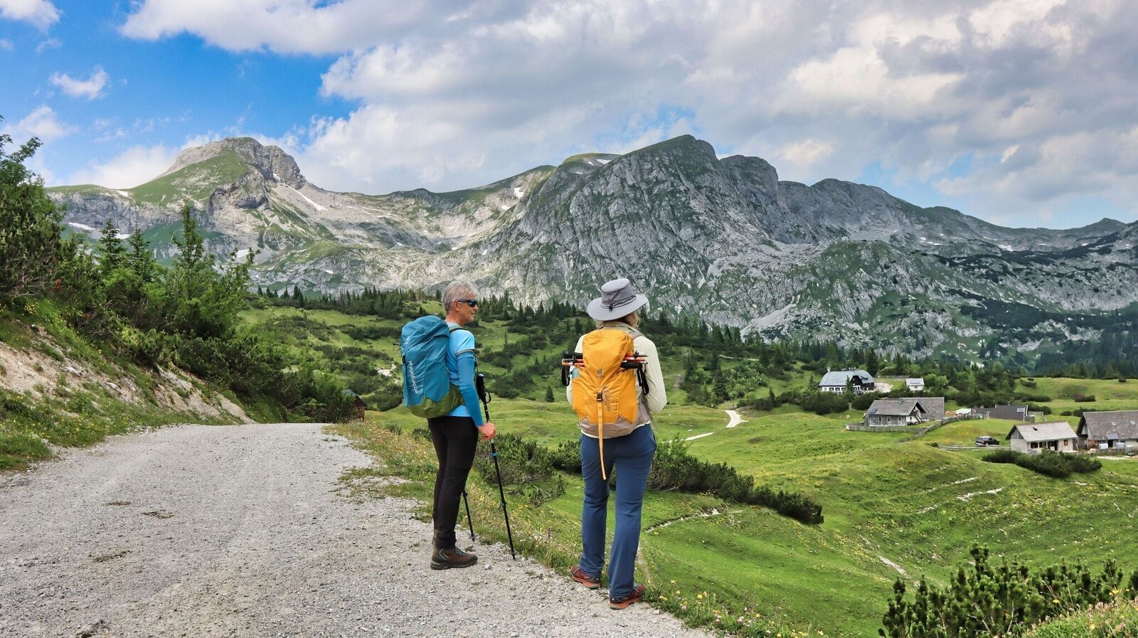
Ein Blick zurück und wir wandern wieder bergab | © Weges OG | Weges OG
8/13
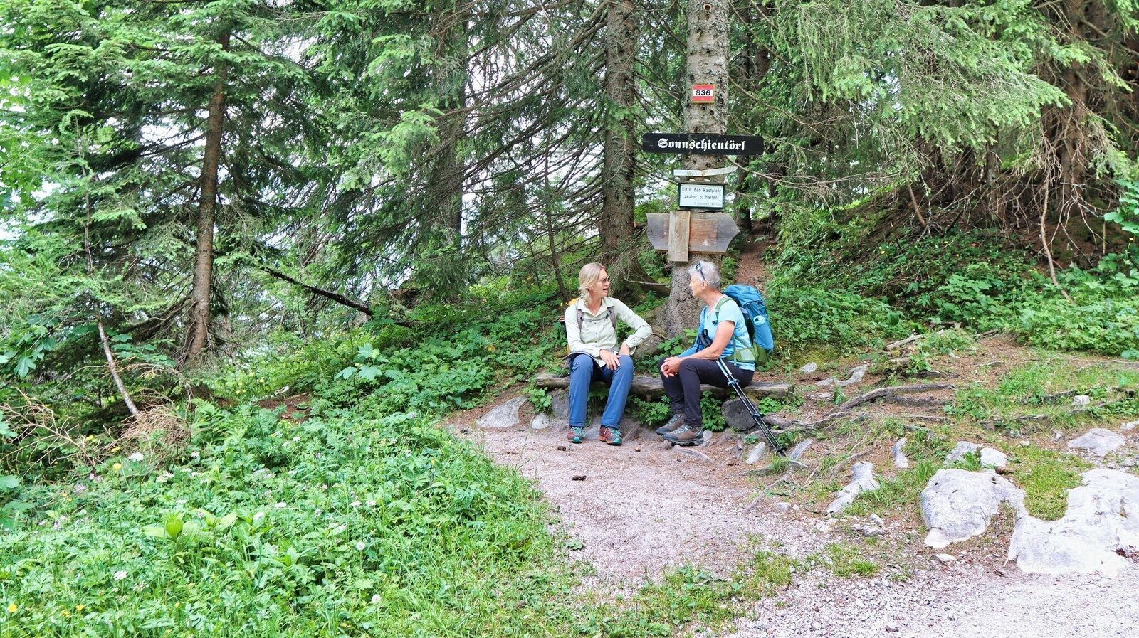
Kurze Pause beim Sonnschientörl | © Weges OG | Weges OG
9/13
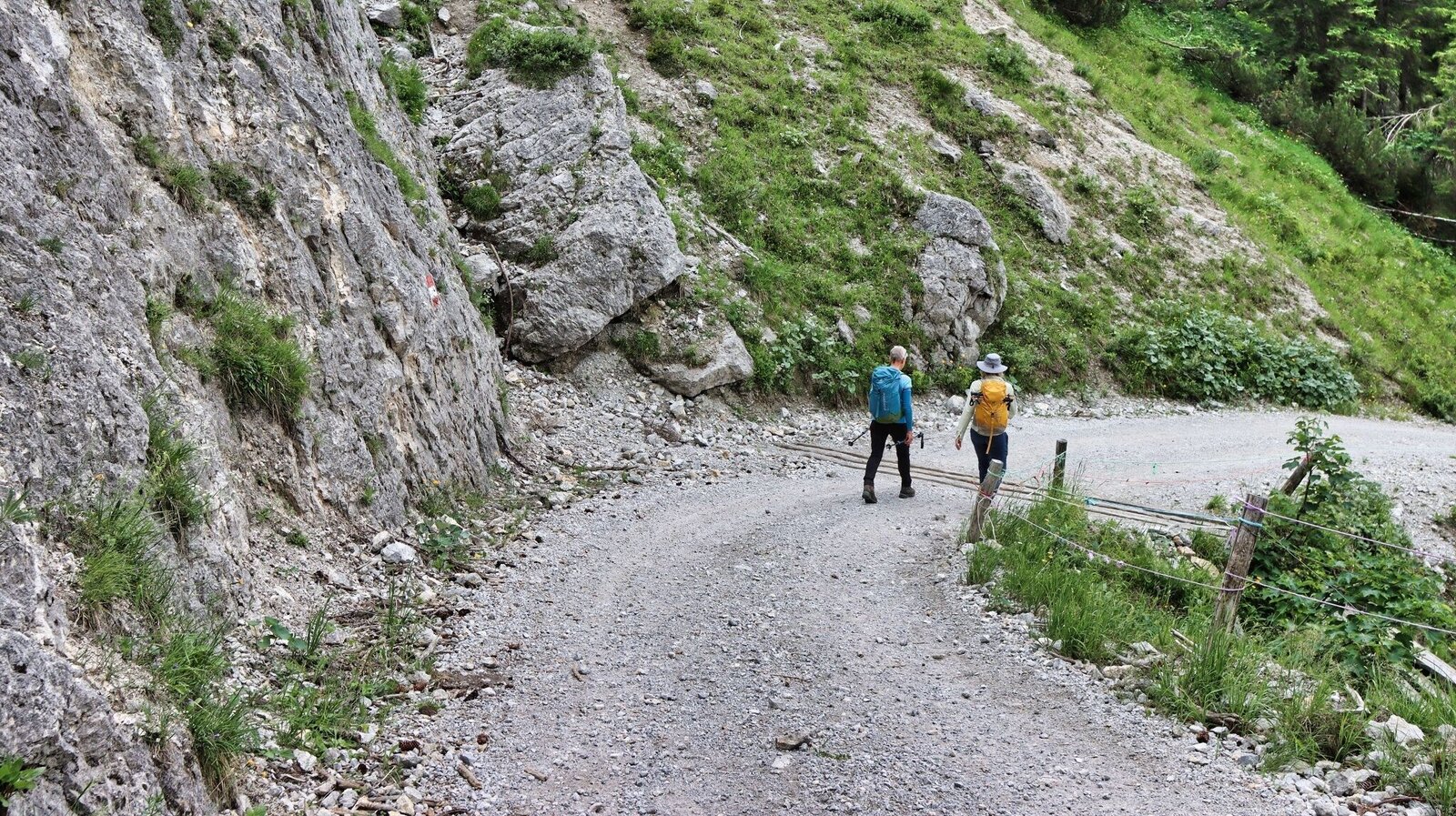
Der Abstieg führt über die Russenstraße | © Weges OG | Weges OG
10/13
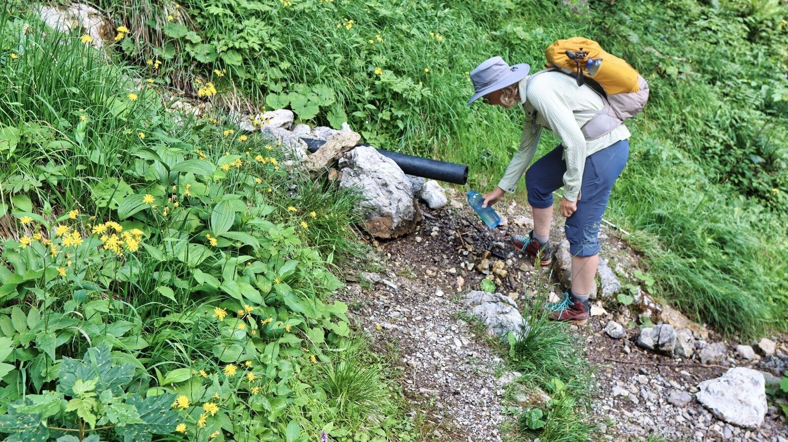
Quelle beim Abstieg | © Weges OG | Weges OG
11/13
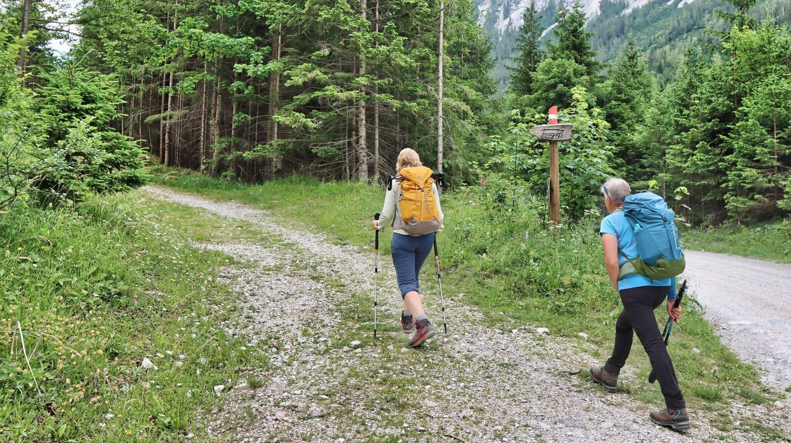
Der Weg zurück zum Grünen See führt größtenteils abseits der Straße | © Weges OG | Weges OG
12/13
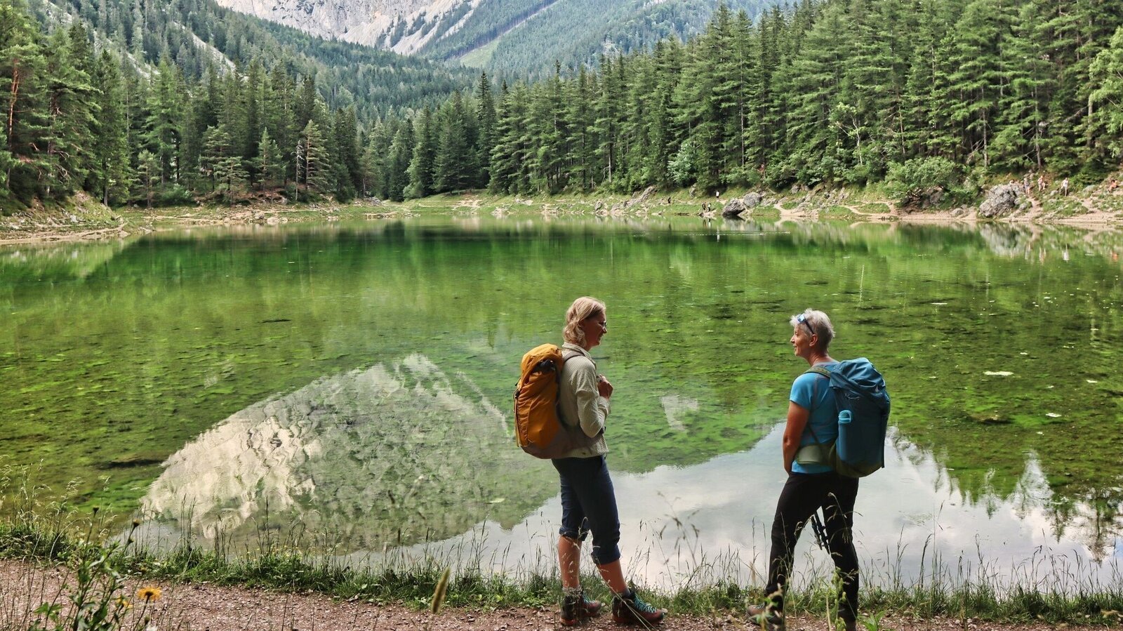
Grüner See | © Weges OG | Weges OG
13/13

What the weather will be like Tragöß-Sankt Katharein (650m)
Today, 23.10.2026
The day starts sunny, but will be partly cloudy in the afternoon.Morning

0°C
sr.Regenwahrscheinlichkeit
0%
sr.Windstärke
5 km/h
Noon

12°C
sr.Regenwahrscheinlichkeit
0%
sr.Windstärke
5 km/h
Night

6°C
sr.Regenwahrscheinlichkeit
5%
sr.Windstärke
5 km/h
Tomorrow, 24.10.2026
Heavy rain in the morning, drying up in the afternoon.Morning

4°C
sr.Regenwahrscheinlichkeit
85%
sr.Windstärke
5 km/h
Noon

7°C
sr.Regenwahrscheinlichkeit
70%
sr.Windstärke
10 km/h
Night

4°C
sr.Regenwahrscheinlichkeit
20%
sr.Windstärke
5 km/h
Forecast
25.10.2026
0°C
11°C
26.10.2026
4°C
13°C
27.10.2026
2°C
14°C
