


From Kalwang to Wald am Schoberpaß with the Liesingtal in view
Characteristics
SkillThe tour in numbers
Level of difficulty
medium
Route
11,3 km
Time
3:30 h
Uphill
450 hm
Downhill
350 hm
Highest point
1147 m
Hiking and enjoying far away from classic hiking destinations is very doable in the communities of Kalwang and Wald am Schoberpaß in the Erzberg-Leoben region.
Those who would like to combine a varied cross-country hike in winter with a comfortable train journey can try this in the Liesing Valley from Kalwang to Wald am Schoberpaß. The wide valley is often only known from passing through, although it is worth getting to know the communities and the associated hiking region better. The Liesing River gives the valley its name, rises in Wald am Schoberpaß and flows into the Mur River after about 40 kilometers near St. Michael. This hiking tip takes us to the upper part of the Liesing valley, which is much less foggy than the rest of the valley. The scenic attractiveness, the view and the climatic advantages thus speak for this leisurely hike in winter. More precisely, the route runs above the valley floor from Kalwang via Sonnberg and Melling to Wald am Schoberpaß. On the way you are mainly on little used side or access roads as well as not cleared forest and meadow paths, which lead over the softly shaped landscape.
Best season
January
February
March
April
May
June
July
August
September
October
November
December
More information
From Graz and from Liezen via A9 to exit Kalwang - Wald am Schoberpaß
At the train station or several parking lots directly in the village of Kalwang or Wald am Schoberpaß.
At the train station or several parking lots directly in the village of Kalwang or Wald am Schoberpaß.
We start at the church in Kalwang (1), 755 m, walk past the municipal office to the grocery store Nah & Frisch. The hiking trail passes the store on the left. We follow the trail for about 300 meters, turn right and see a small embankment with regional signposts in front of us. After a few meters uphill we reach the wide sidewalk, which we follow to the left. The path goes comfortably just above the valley floor. This panoramic path joins a road after about 1 kilometer, which we follow downhill to the valley floor (2), 772 m, and thus reach the main road (B113). At the intersection, we orient ourselves by the garbage island, which we pass and follow an asphalt road continuously uphill for the next 3 kilometers. We orient ourselves by the red-white-red markings, pass farms and enjoy the beautiful views of the Liesing valley and the cultivated areas of Sonnberg and Melling. Up to an altitude of 1035 m we are on a cleared access road, accordingly the ascent through the forest is quiet and pleasant. From the junction (3), 1035 m, (direction Reisacher / Ferchtler) we continue on a forest road, on which we have to trudge more or less depending on the snow conditions. The first part leads almost level, then we come to a stream and to the open meadow areas around the alp of the farm vlg. Reisacher (4), 1027 m. The trail is well marked and runs along the gravel road, which is not cleared in winter. We hike uphill across the meadows, cross the stream until we come to a road junction. Here we keep to the left and soon we see the red-white-red markings again. We come to a fence crossing (5), 1074 m, follow the trail through the forest and walk uphill as a result along the stream until we reach a cleared road. Here we turn left, pass by the farm vlg. Wohlmuther farm and reach the highest point of the hike at 1145 meters above sea level. Passing a wayside cross and the Mellingalm hut, which is closed in winter, we continue on the road for the next kilometers until we reach the center of Wald am Schoberpaß (6), 841 meters. We keep to the right and reach the station in a few minutes.
When choosing a winter hike or snowshoe tour, weather, snow and avalanche situation are essential criteria. Basically, the decision of the tour depends on your own experience and basic physical condition. In advance, factors such as weather, avalanche situation report and equipment, must be clarified in detail. Even if you have prepared perfectly, the given weather and snow conditions and the physical condition of the day during the hike itself must also be taken into account. Thus, there is an important basic rule: please turn around if the hike becomes too strenuous or if the external conditions require it.
Spikes are now indispensable as a winter hiking utensil. These "snow chains" for mountain boots have become increasingly popular in recent winters and belong as standard in the winter hiking backpack.
Walking times: The indicated walking time is to be understood as a guideline, as it depends on the snow conditions, the terrain and the presence of a trail. The individual condition and stamina for strenuous trail work also play an important role. Sometimes the duration of the tour can change significantly due to large amounts of new snow, broken slush, soft sulzing snow, etc.
Alpine emergency call:
Mountain rescue emergency number: 140
EU emergency number: 112
Avalanche info:
Weather service:
Direct link mountain weather Styria:
https://www.zamg.ac.at/cms/de/wetter/produkte-und-services/bergwetter/steiermark
- Spikes
- Telescopic poles with snow plate
- Waterproof mountain boots or lined winter mountain boots
- Backpack
- Gloves: waterproof and warming
- Headgear
- Gaiters: If there are no closable leg cuffs on the pants.
- Pants: Ski pants are not recommended, because they are often too warm, but we need water-repellent and warming pants.
- Warming outerwear: Onion layering system, t-shirt, sweater, jacket and winter jacket with hood.
- Sunglasses: Very important, as snow reflects up to 95% of the light.
- Creams: Protective measures for the skin are important against both the sun and the cold.
- Headlamp: In winter it gets dark early, especially in the forest it can often be very dark when dusk begins.
- Thermos: On cooler days a warming drink is pleasant.
- Snack
- First aid kit
Other important items of equipment:
- Mobile phone
- Tour description
- Map: For overview a map in scale 1:50.000 of the respective region and a detailed plan of the hike
- GPS device
For an out and back hike we recommend hiking at least to waypoint 4 and the same way back. (approx. 12 km and 400 meters altitude difference)
By ÖBB from Graz or Liezen to Kalwang or Wald am Schoberpaß station.
The exact timetable and general information about public transport in the region: www.verbundlinie.at
Refreshment stops in Kalwang:
Kupferwirt, Tel.: +43 660 6023 916, 8775 Kalwang, Marktstraße 14, www.kupferwirt.at
Pfälzer Hof, Tel.: +43 3846 8223, 8775 Kalwang 23
Refreshment stops in Wald am Schoberpaß:
Gasthof Fink, Tel.: +43 3834 228, 8781 Wald am Schoberpaß 63, www.fink-gasthof.at
Gasthof Leitner, Tel.: +43 3834 213, 8781 Wald am Schoberpaß 65
Freytag & Berndt WK 062, Gesäuse - Ennstaler Alpen - Schoberpass, Wanderkarte 1 : 50.000 Sarcletti S., Zienitzer E., (2. Auflage 2018): Schneeschuhführer Steiermark – Vom Dachstein bis zum Steirischen Weinland. Bergverlag Rother GmbH, MünchenMap & downloads
Gallery
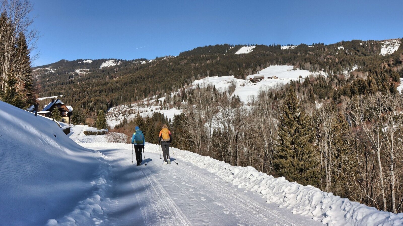
Ausblick auf die Almflächen der Melling | © Weges OG | Weges OG
1/14
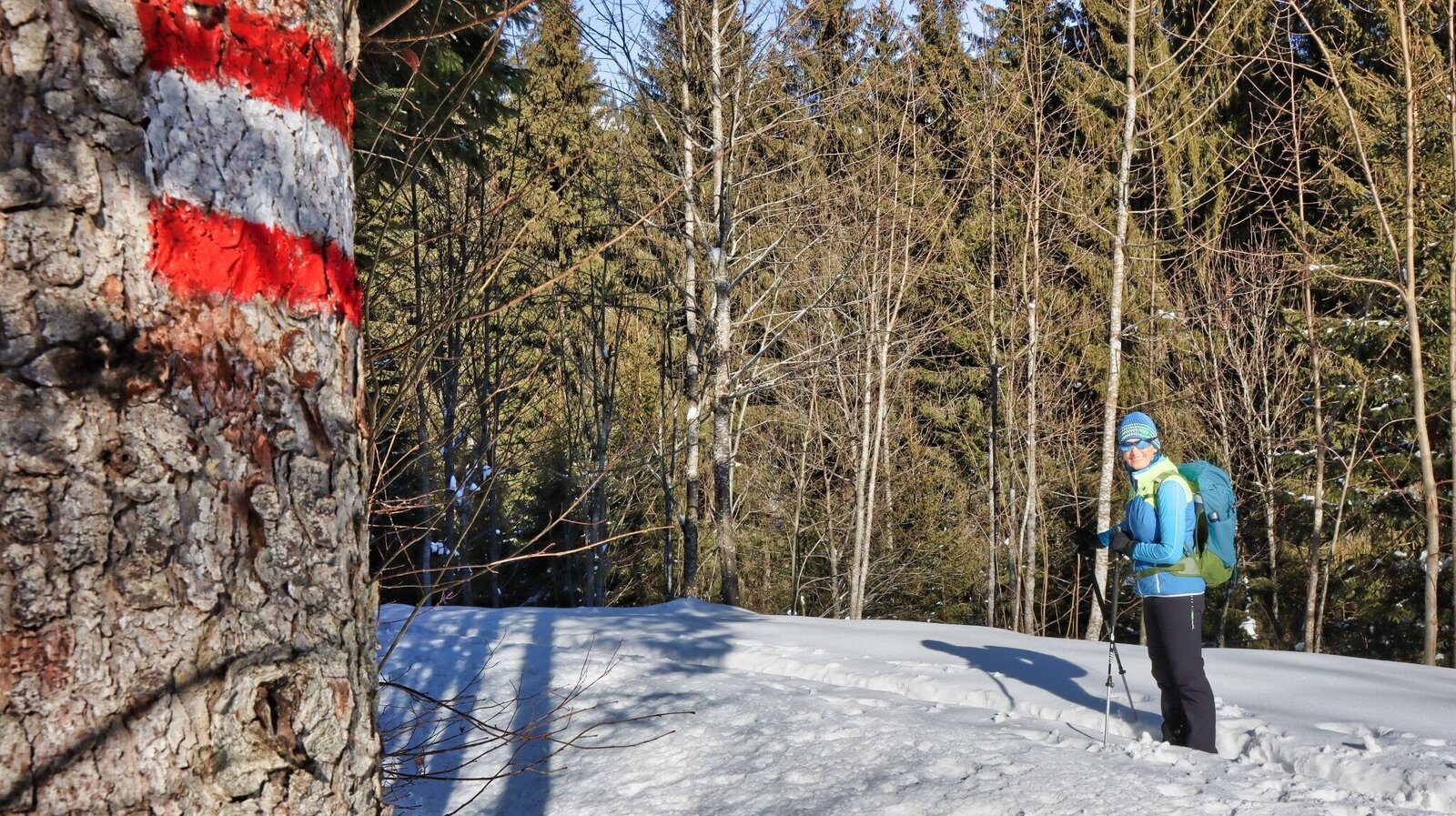
Der Weg durch die Melling ist sehr gut markiert | © Weges OG | Weges OG
2/14
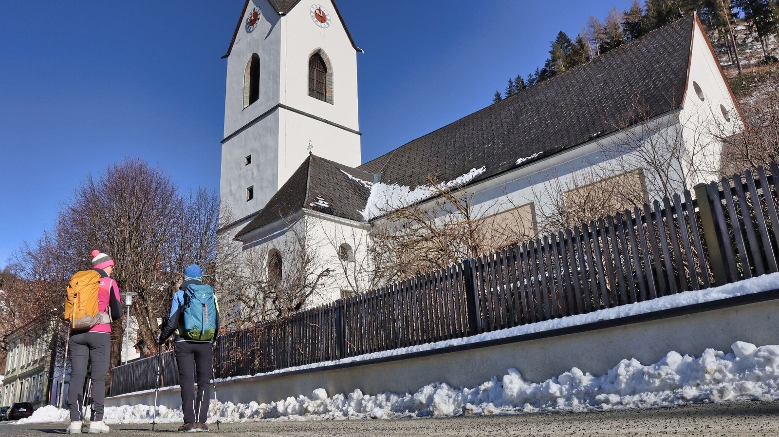
Wir starten bei der Kirche in Kalwang | © Weges OG | Weges OG
3/14
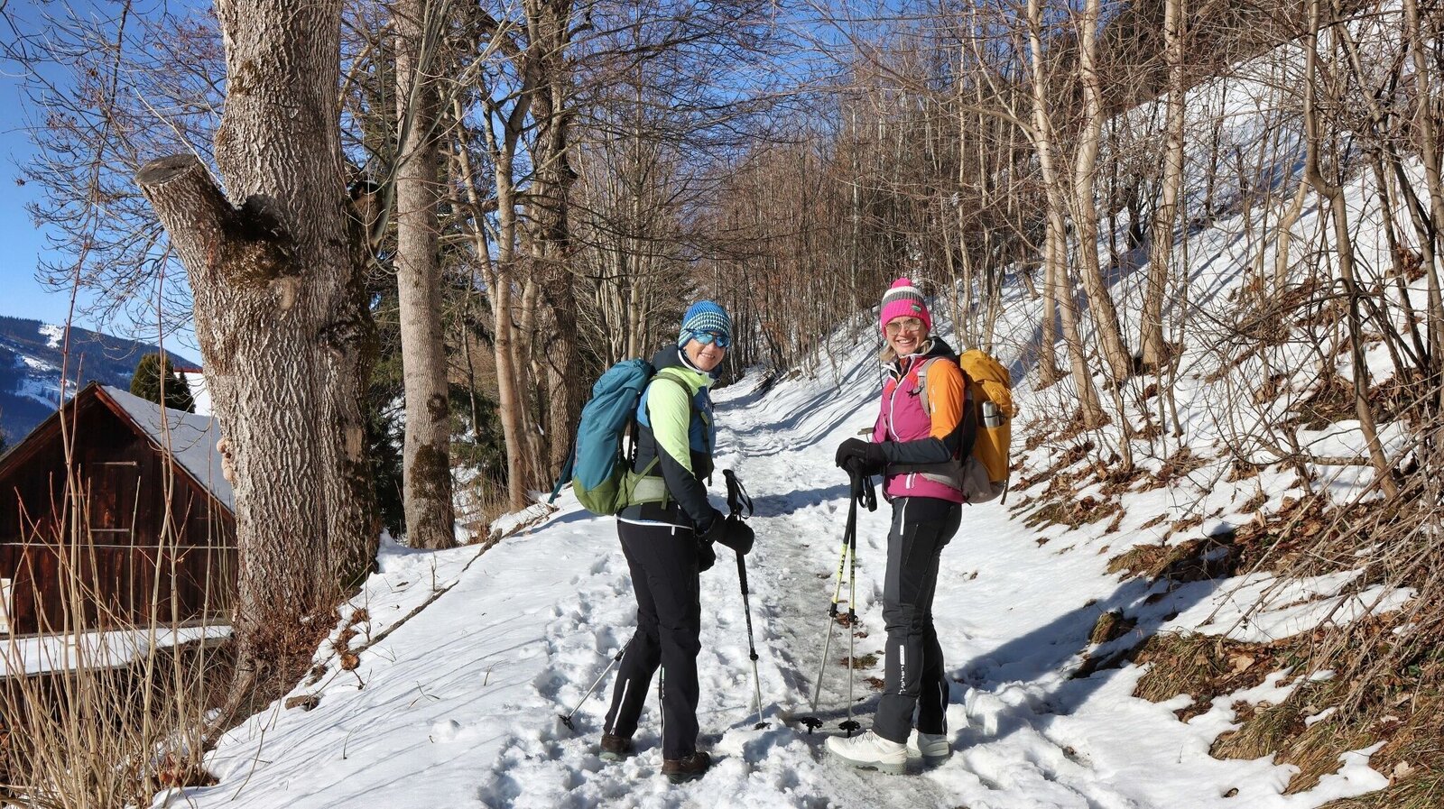
Von Kalwang raus führt ein Panoramaweg auf der Sonnseiten | © Weges OG | Weges OG
4/14
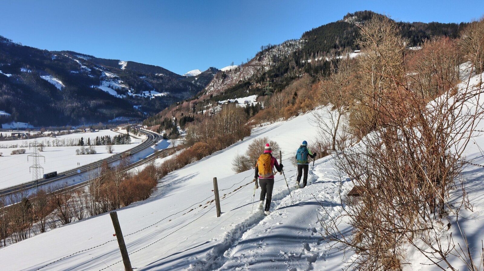
Panoramaweg | © Weges OG | Weges OG
5/14
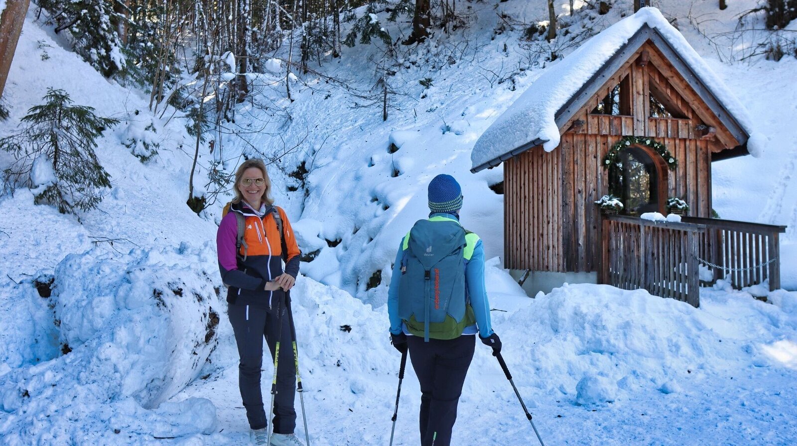
Kleine Kapelle am Weg | © Weges OG | Weges OG
6/14
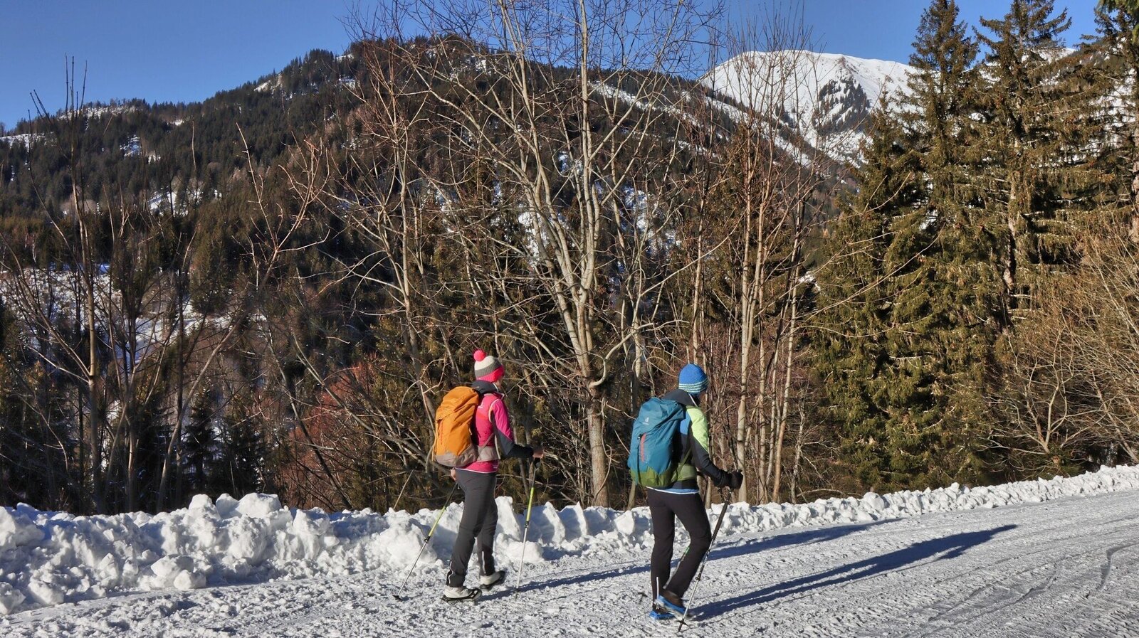
Wir wandern auf Forstwegen | © Weges OG | Weges OG
7/14
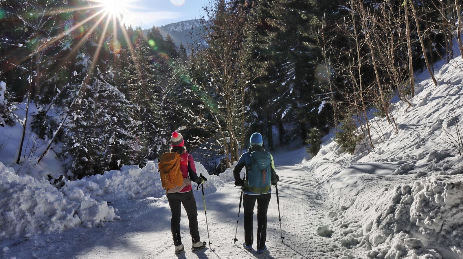
Wir wandern nach Wald am Schoberpass hinunter | © Weges OG | Weges OG
8/14
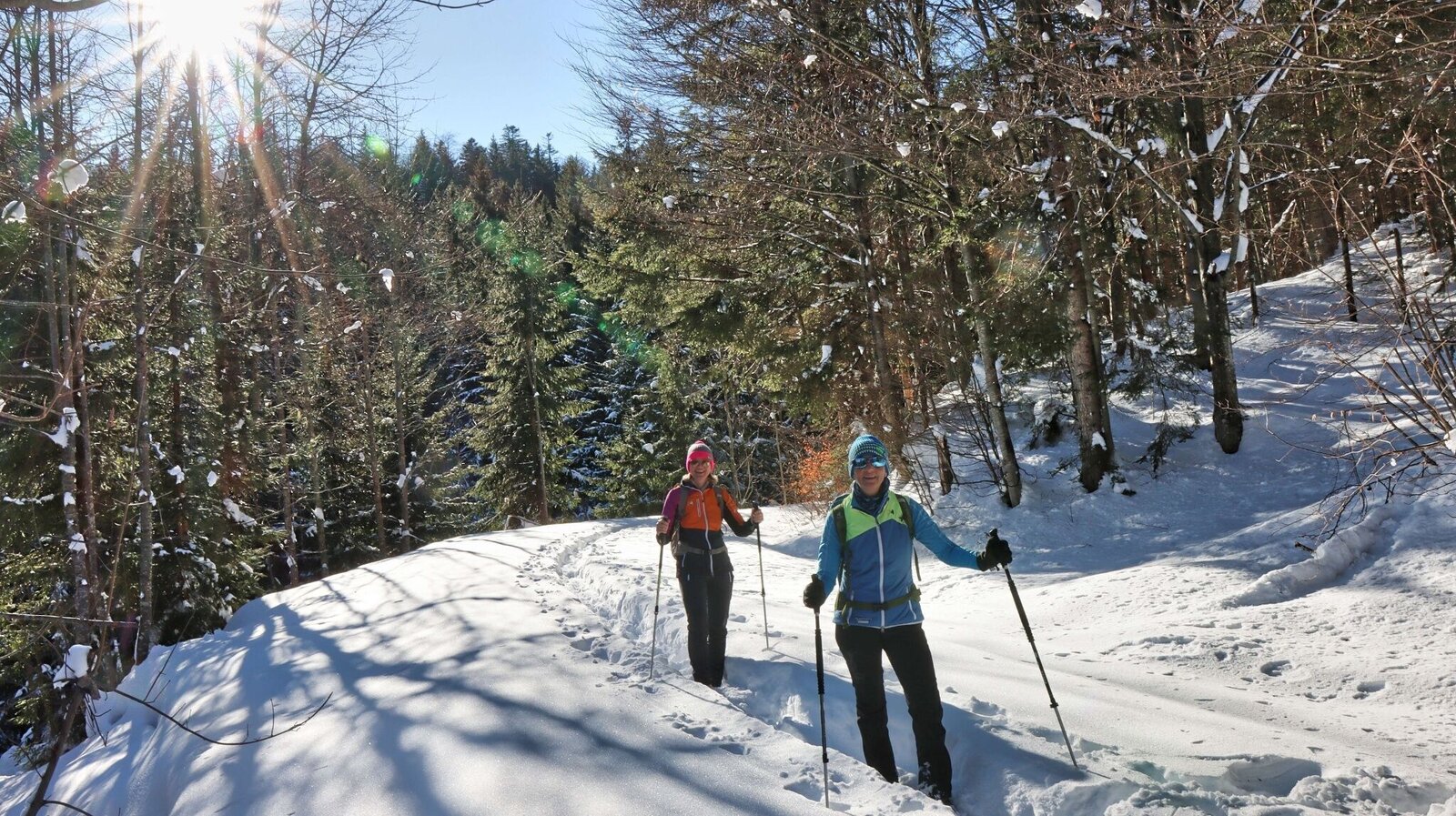
Dazwischen müssen wir im tiefen Schnee stapfen | © Weges OG | Weges OG
9/14
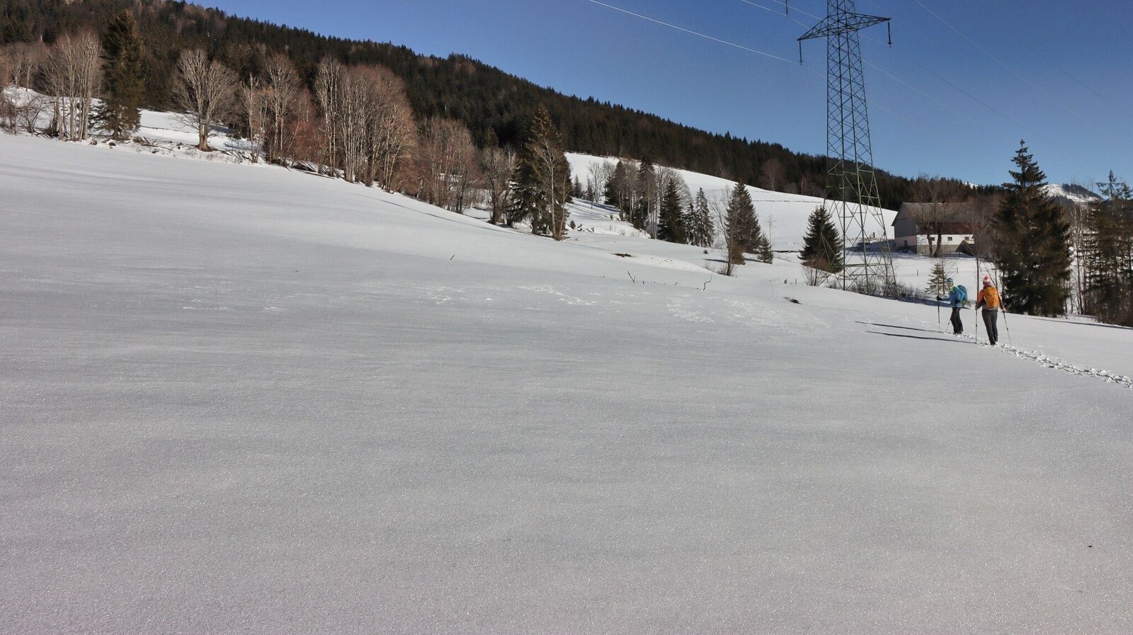
Tief verschneiten Almflächen | © Weges OG | Weges OG
10/14
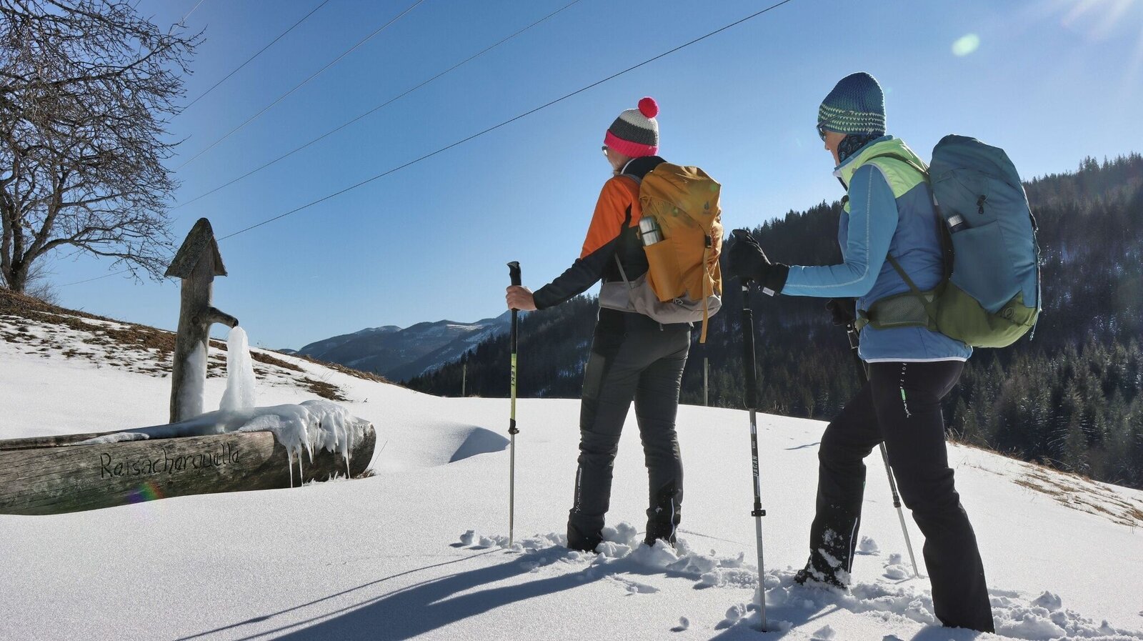
Winterstimmung beim vlg. Reisacher | © Weges OG | Weges OG
11/14
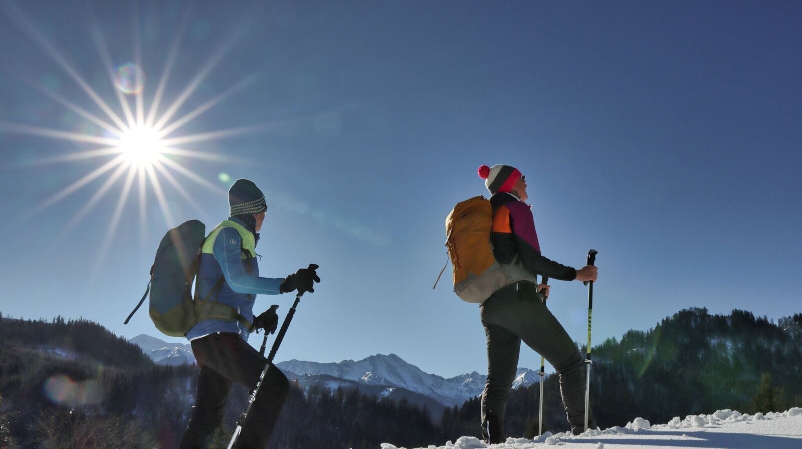
Sehr schöner Blick auf die Seckauer Tauern | © Weges OG | Weges OG
12/14
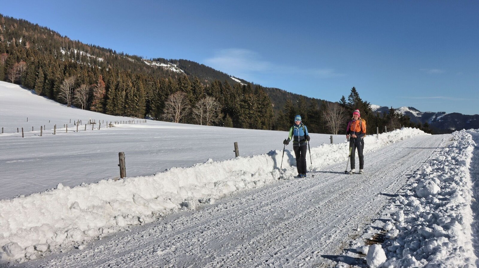
Auf geräumten Forststraßen wandern wir gemütlich dahin | © Weges OG | Weges OG
13/14
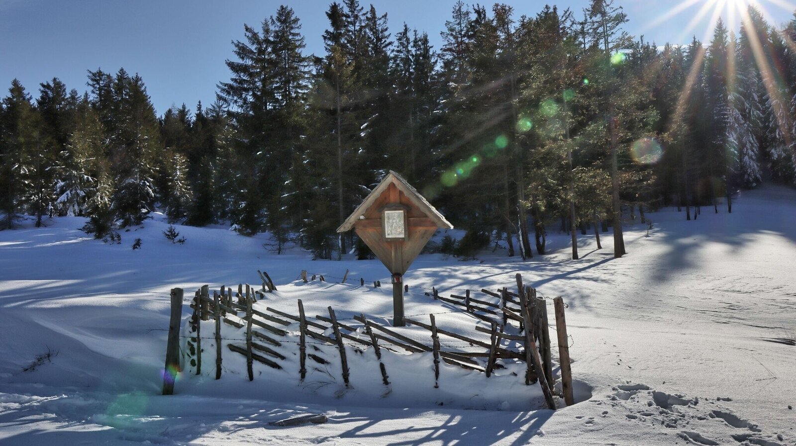
Wegkreuz auf der Mellingalm | © Weges OG | Weges OG
14/14

What the weather will be like Kalwang (756m)
Today, 14.10.2026
Rain and rain showers will end around noon. Dry with a chance of sunny spells afterwards.Morning

6°C
sr.Regenwahrscheinlichkeit
60%
sr.Windstärke
5 km/h
Noon

15°C
sr.Regenwahrscheinlichkeit
65%
sr.Windstärke
5 km/h
Night

10°C
sr.Regenwahrscheinlichkeit
40%
sr.Windstärke
5 km/h
Tomorrow, 15.10.2026
Dry and partly sunny throughout the day, with cloudy periods from time to time.Morning
6°C
sr.Regenwahrscheinlichkeit
0%
sr.Windstärke
0 km/h
Noon
17°C
sr.Regenwahrscheinlichkeit
0%
sr.Windstärke
5 km/h
Night

10°C
sr.Regenwahrscheinlichkeit
0%
sr.Windstärke
5 km/h
Forecast
16.10.2026

5°C
17°C
17.10.2026
4°C
17°C
18.10.2026
6°C
15°C
