


3. Etappe Styrian Iron Trail - Mautern - Wald am Schoberpaß
Accessible by public transport- Public bus (within 15 minutes walking distance from starting point)
Characteristics
SkillThe tour in numbers
Level of difficulty
medium
Route
23,2 km
Time
7:30 h
Uphill
1150 hm
Downhill
1000 hm
Highest point
1168 m
From one place to another via the panoramic Rabenstein, through deciduous and coniferous forests and idyllically situated alpine pastures to the lowest north-south Alpine pass, the Schober Pass. The Styrian Iron Trail was implemented with the support of the federal government, the state, and the European Union (LEADER).
Stage 3 leads through the municipalities of Mautern, Kalwang, and Wald am Schoberpaß, thus completing the first long-distance hiking section of the Styrian Iron Trail in the Liesing Valley (stages 1 to 3). The beautiful view of the Liesing Valley—nestled between the Eisenerz Alps and the Seckau Tauern—accompanies hikers throughout the day. The Liesing River, which gives the valley its name, is a 40 km long river that springs south of the Schober Pass and flows into the Mur at St. Michael.
The Liesing Valley is known to many Styrians only from passing through it, yet this third stage of the Styrian Iron Trail harmoniously connects the well-tended forests, peaceful alpine pastures, and the three charming village centers. A small drawback is the occasional noise from the Pyhrn motorway, though it’s easy to focus instead on the magnificent scenery rather than the monotonous hum of traffic. Near the end of the stage, one can enjoy a hearty snack at the Mellingalm before descending to Wald am Schoberpaß—where, incidentally, the lowest of all north-south Alpine crossings is reached.
Conclusion: Along secluded trails—with views of the peaks of the Seckau Tauern—we discover the charming and often overlooked side of the meadows and forests of Mautern, Kalwang, and Wald am Schoberpaß.
Best season
January
February
March
April
May
June
July
August
September
October
November
December
More information
Von Graz: A9 Abfahrt Mautern weiter in die Ortschaft Mautern
Von Liezen: A9 Abfahrt Mautern weiter in die Ortschaft Mautern
Beim Bahnhof in Mautern oder mehrere Parkmöglichkeiten im Ort
We start at the main square in Mautern (1), 712 m, passing by the bakery before turning right onto a side street. After a few meters, we see a trail sign on the left and leave the inhabited area. A path leads gently uphill through the forest, continuing along a forest road to the alpine pasture area around the Fasseggerhube. The trail climbs steadily until we reach the junction toward Rabenstein. A short 5-minute detour to this small but scenic summit—with a summit cross—is well worth it. From Rabenstein (2), 1031 m, we enjoy a beautiful view over Mautern. Returning to the Styrian Iron Trail, we follow the path downhill to a forest road, which we then follow steadily uphill for the next few kilometers. The route continues—alternating between paths and forest roads—mostly uphill until we reach the alpine pasture of Aschberger Hube (3), 1113 m. The hut, also called “Müller Hube” by locals, invites visitors to rest with a fountain and a small “Kühschraunk” (cooling cabinet) for self-service drinks; the cash box is located directly at the hut. After a relaxing break, we continue uphill for a few more meters through the forest until we see the start of a trail on the left. This short descent leads to a forest road, where we turn right. A longer stretch on forest roads follows until we reach a left turnoff and leave the road again. A path then takes us down to Kalwang (4), 755 m, which offers good hiking infrastructure. Passing through the village and by the “Nah & Frisch” grocery store, we continue along a footpath for about 300 meters until we see the slope with regional trail signs on the right. We now follow an inviting recreational path to a paved road, descending to the valley floor. At the intersection, we orient ourselves by the waste collection point, pass it, and continue uphill for the next 3 kilometers. Along the way, we pass several farmhouses and enjoy beautiful views of the Liesing Valley. At the junction (Reisacher / Ferchtler), we turn right, soon cross a stream, and reach the alpine pastures of the Reisacher farm (5), 1027 m.
We continue uphill across the alpine meadows to a stile, after which the trail leads through the forest and alongside a stream, still ascending. Reaching another forest road, we turn left and arrive at the meadows of the Mellingalm, soon followed by the managed Mellingalm hut. Passing directly by the hut, we turn left slightly uphill, then follow a forest road downhill until we pass the Melling town sign. The final stretch continues gently downhill into the center of Wald am Schoberpaß (6), 841 m.
Requirements:
A technically easy stage overall, with only a few steeper sections. Even in summer heat, this stage is pleasant to hike since many parts of the route lead through the forest.
For a conflict-free experience on alpine pastures and grazing areas, it is important to follow a few rules—especially when hiking with dogs.
(Source: www.sichere-almen.at – 06/2021)
-
Avoid contact with grazing animals; do not feed them and always keep a safe distance!
-
Stay calm and do not startle the animals!
-
Mother cows protect their calves. Avoid encounters between mother cows and dogs!
-
Always keep dogs under control and on a short leash. If an attack by a grazing animal seems imminent: immediately unleash the dog!
-
Do not leave designated hiking trails on alpine pastures and grazing areas!
-
If livestock blocks the path, walk around them with as much distance as possible!
-
If animals approach: stay calm, do not turn your back, and give way!
-
Leave the pasture quickly at the first signs of animal restlessness!
-
Respect fences! If there is a gate, use it, close it properly afterward, and cross the pasture without lingering!
-
Treat the people working here, nature, and the animals with respect!
(Source: www.bundesforste.at – 06/2021)
-
Hikers should avoid visiting the forest about 1.5 hours before sunrise and after sunset, as this is when wild animals are most active.
-
Plastic bottles, tissues, cigarette butts, etc., have no place in the forest! Please ensure you leave no litter behind.
-
Camping or lighting fires in the forest or on alpine pastures is strictly prohibited!
-
In general, every person may collect up to 2 kg of mushrooms and berries per day for personal use. It is only prohibited if the forest owner explicitly forbids it.
Emergency Information
-
Mountain Rescue Emergency Number: 140
-
EU Emergency Number: 112
-
Weather Service: www.zamg.ac.at
-
Direct Link to Mountain Weather Styria: Bergwetter Steiermark
Equipment Recommendations
-
Trekking poles: Very useful on long-distance hikes. Three-piece poles are ideal since they can be compactly stowed on a backpack.
-
Mountain/Hiking boots: Should match the terrain difficulty, hike length, and backpack weight. Comfortable boots that protect your feet and provide ankle stability are essential for a successful hike.
-
Backpack with rain cover (approx. 40–50 liters capacity).
-
Umbrella and/or lightweight rain poncho.
-
Gloves and headgear (cap and beanie), even in summer.
-
Convertible hiking pants (with detachable legs) or pants that can be easily rolled up—comfort and quick drying are key.
-
Layered clothing system: T-shirt, pullover, jacket with hood.
-
Sun protection: Cap, sunglasses, sunscreen, and UV-protective clothing.
-
Headlamp: Always carry one in your backpack.
-
Water bottles: Ideally two bottles, each holding at least ¾ liter.
-
Lunch box: For packed lunches provided by accommodations—avoid disposable packaging!
-
Snack or light food: Often, a muesli bar is enough to keep you going.
-
First aid kit with blister plasters.
-
Mobile phone or GPS device plus power bank: All stages of the Styrian Iron Trail are available as GPS tracks.
-
Analog maps: Detailed route map and an overview map.
-
Additional equipment for overnight stays at Sonnschienalm: Hut sleeping bag, hut slippers, and membership card of an alpine association.
Pure alpine feeling in the Liesing Valley – tranquility and a refreshing “Kühschraunk” (self-service cool box) await you at the Aschberger Alm, and a hearty snack can be enjoyed at the Mellingalm.
Allgemeine Auskunft über die Öffentlichen Verkehrsmittel in der Region: www.verbundlinie.at
Map & downloads
Gallery
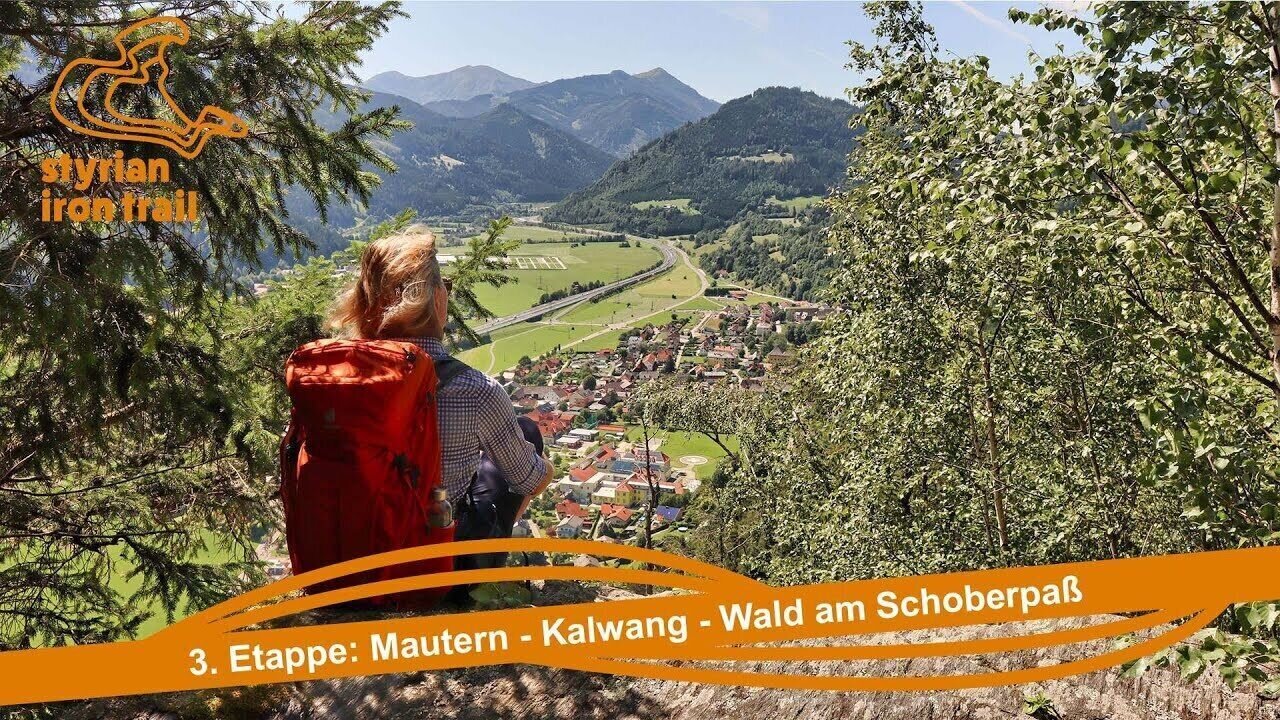
3. Etappe Styrian Iron Trail - Von Mautern über Kalwang nach Wald am Schoberpaß | © wegesaktiv
1/26
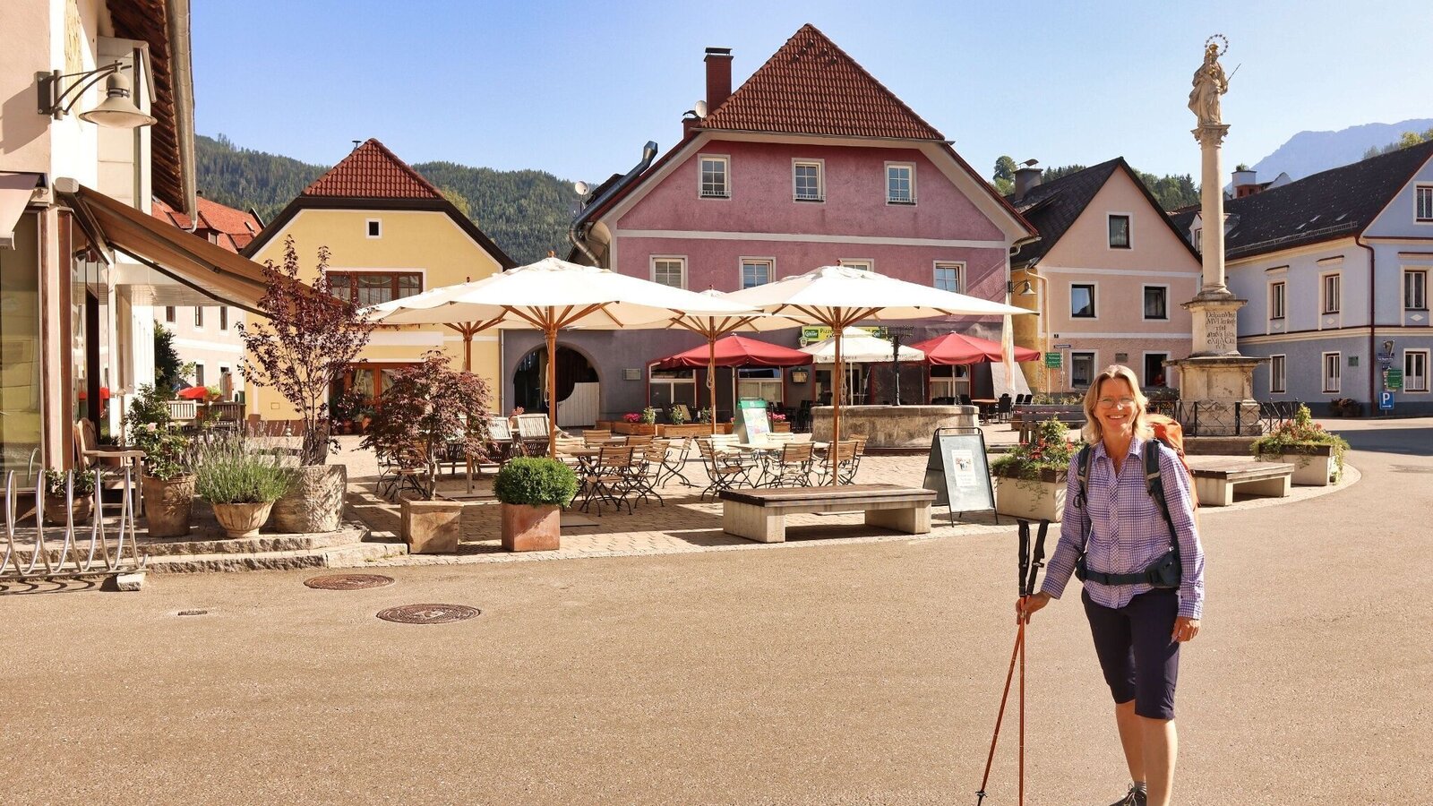
Wir starten am Hauptplatz in Mautern | © Weges OG | Fa. WEGES OG im Auftrag der Abenteuer- und Sportregion ERZBERG LEOBEN
2/26
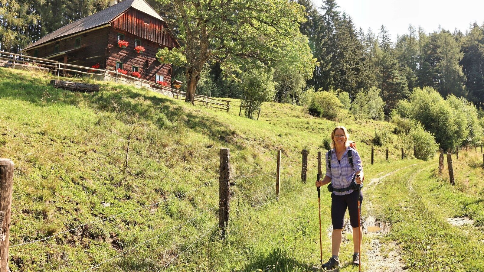
Wir wandern bei der Fasseggerhube vorbei | © Weges OG | Fa. WEGES OG im Auftrag der Abenteuer- und Sportregion ERZBERG LEOBEN
3/26
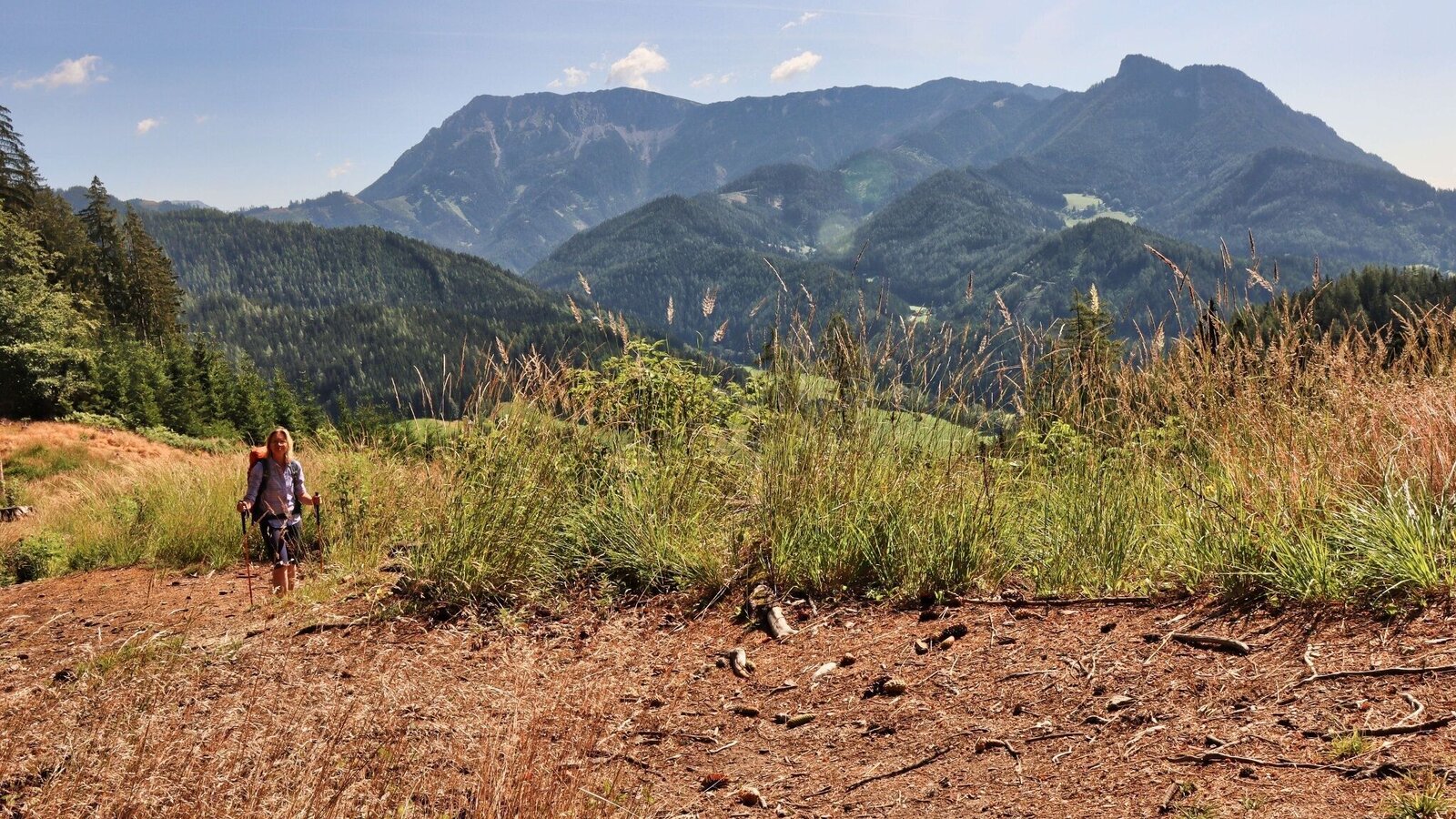
Beim Aufstieg präsentiert sich der Reiting | © Weges OG | Fa. WEGES OG im Auftrag der Abenteuer- und Sportregion ERZBERG LEOBEN
4/26
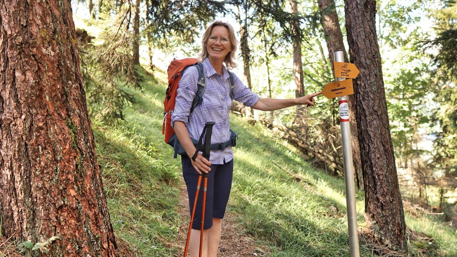
Nur noch ein paar Minuten bis zum Gipfel | © Weges OG | Fa. WEGES OG im Auftrag der Abenteuer- und Sportregion ERZBERG LEOBEN
5/26
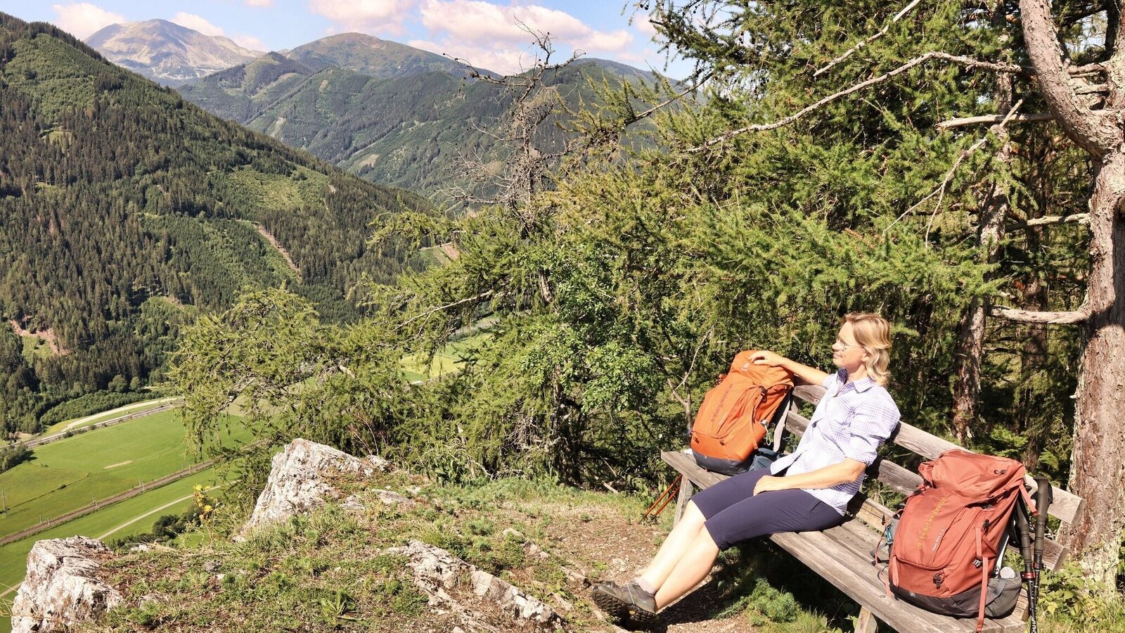
Aussichtsplatz Rabenstein | © Weges OG | Fa. WEGES OG im Auftrag der Abenteuer- und Sportregion ERZBERG LEOBEN
6/26
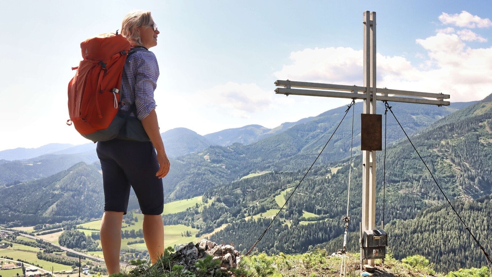
Am Rabenstein, 1031 m | © Weges OG | Fa. WEGES OG im Auftrag der Abenteuer- und Sportregion ERZBERG LEOBEN
7/26
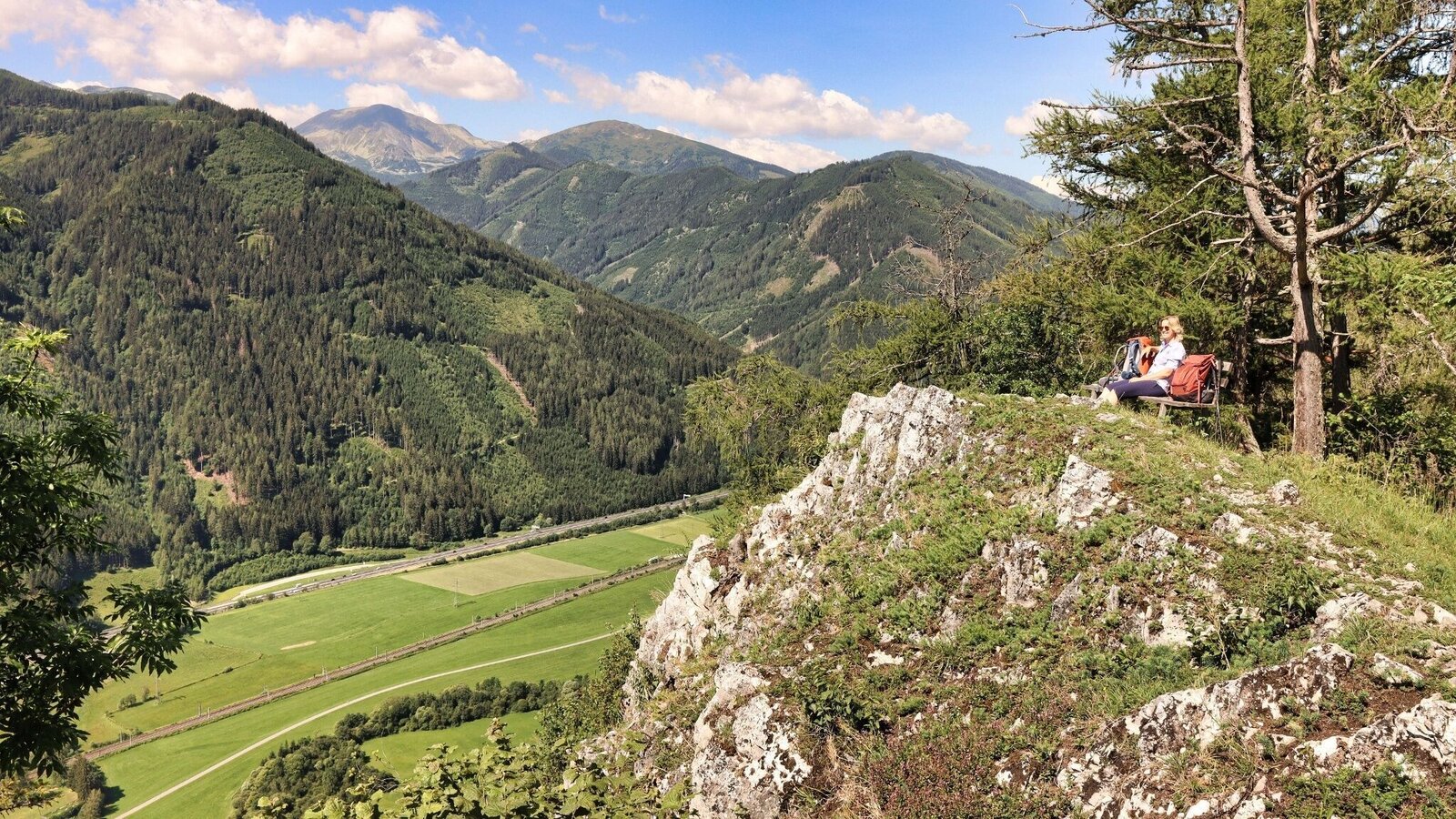
Wir genießen den Ausblick am Rabenstein | © Weges OG | Fa. WEGES OG im Auftrag der Abenteuer- und Sportregion ERZBERG LEOBEN
8/26
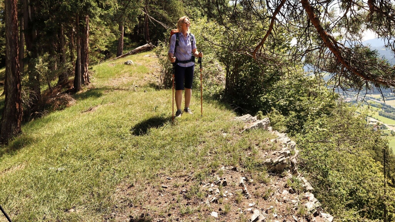
An der Geländekante wandern wir weiter | © Weges OG | Fa. WEGES OG im Auftrag der Abenteuer- und Sportregion ERZBERG LEOBEN
9/26
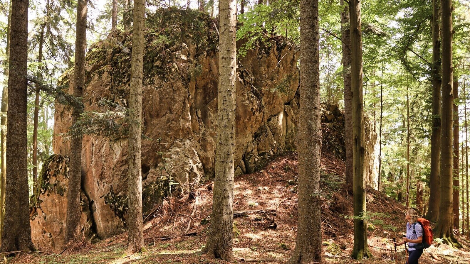
Beeindruckende Felsformationen im Wald | © Weges OG | Fa. WEGES OG im Auftrag der Abenteuer- und Sportregion ERZBERG LEOBEN
10/26
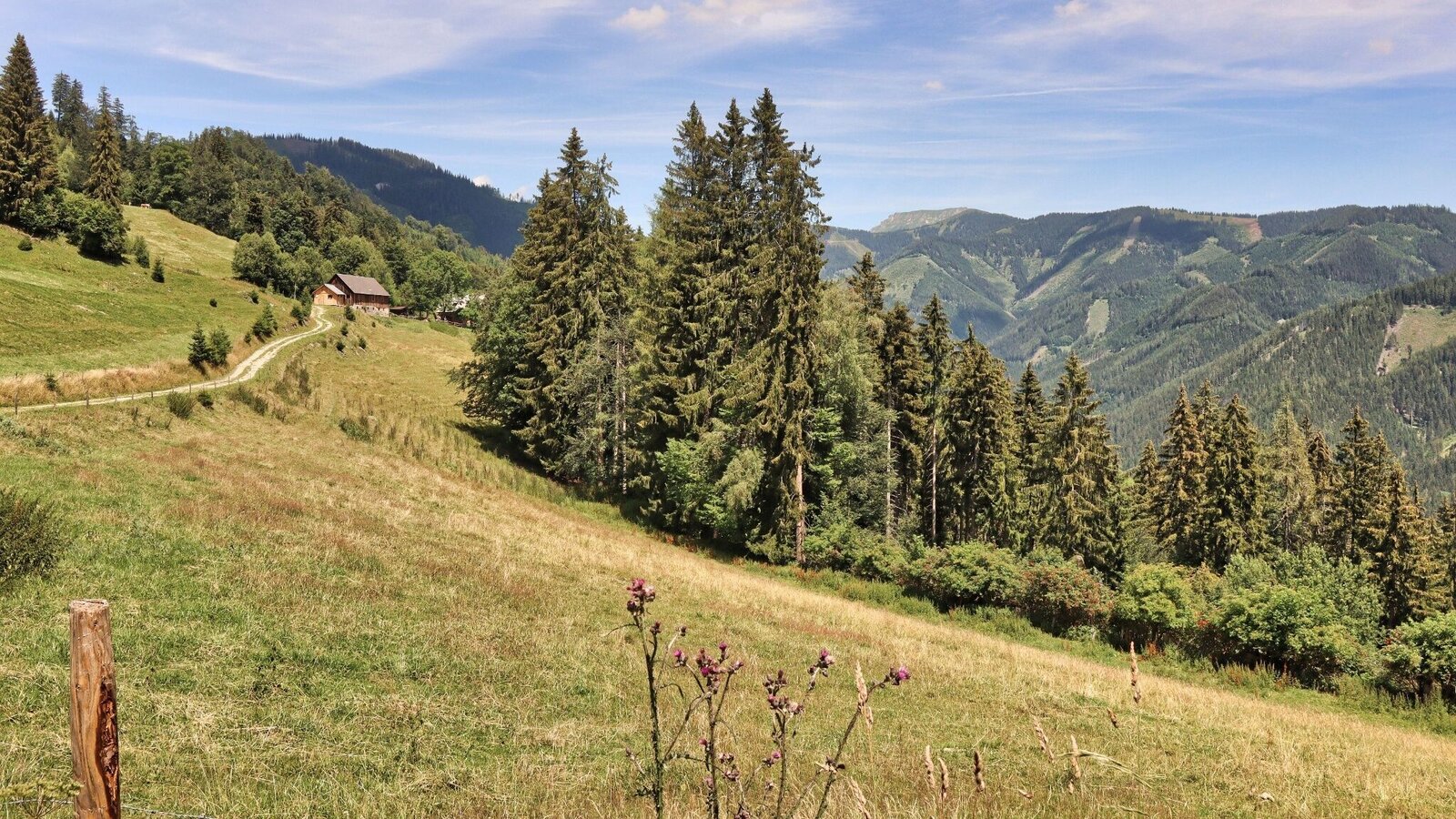
Aussichtsreich - die Almflächen der Aschberger Alm | © Weges OG | Fa. WEGES OG im Auftrag der Abenteuer- und Sportregion ERZBERG LEOBEN
11/26
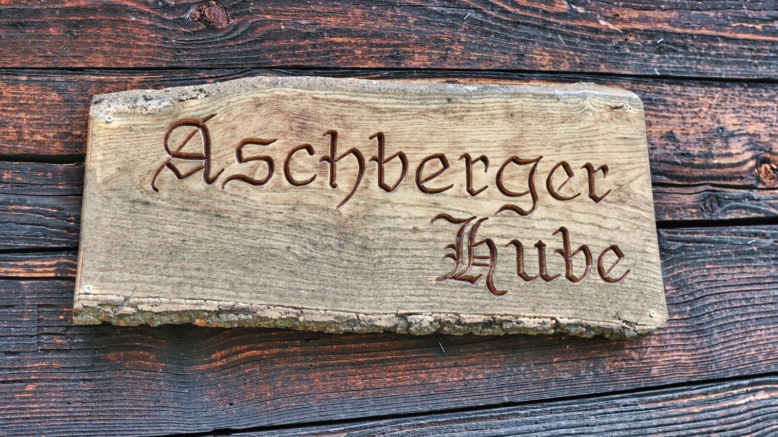
Auf der Aschberger Hube | © Weges OG | Fa. WEGES OG im Auftrag der Abenteuer- und Sportregion ERZBERG LEOBEN
12/26
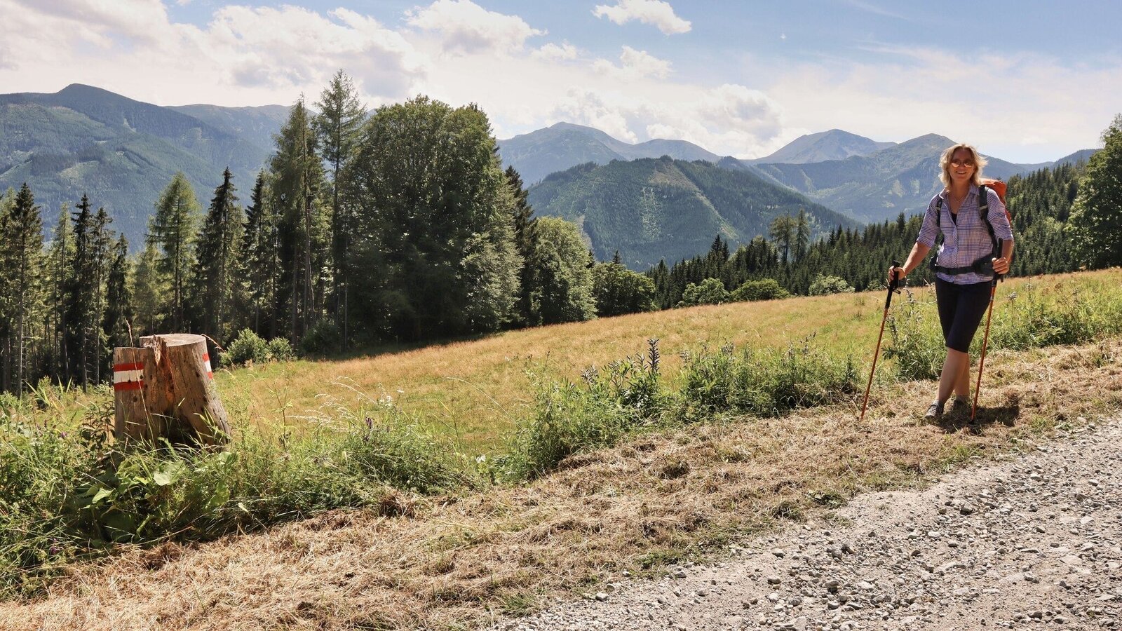
Am Forstweg wandern wir gemütlich und aussichtsreich dahin | © Weges OG | Fa. WEGES OG im Auftrag der Abenteuer- und Sportregion ERZBERG LEOBEN
13/26
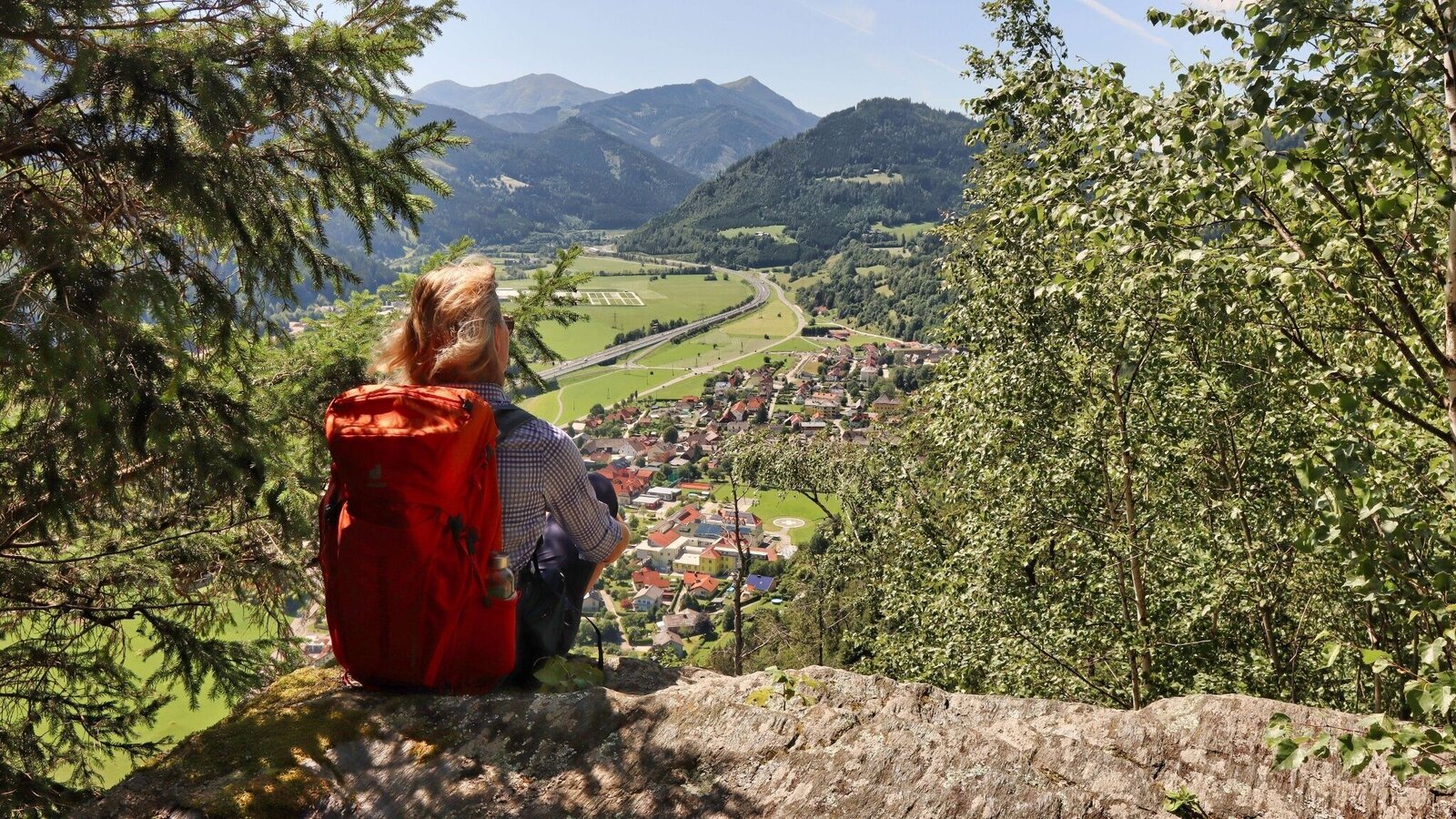
Aussichtsplatz mit Blick auf Kalwang | © Weges OG | Fa. WEGES OG im Auftrag der Abenteuer- und Sportregion ERZBERG LEOBEN
14/26
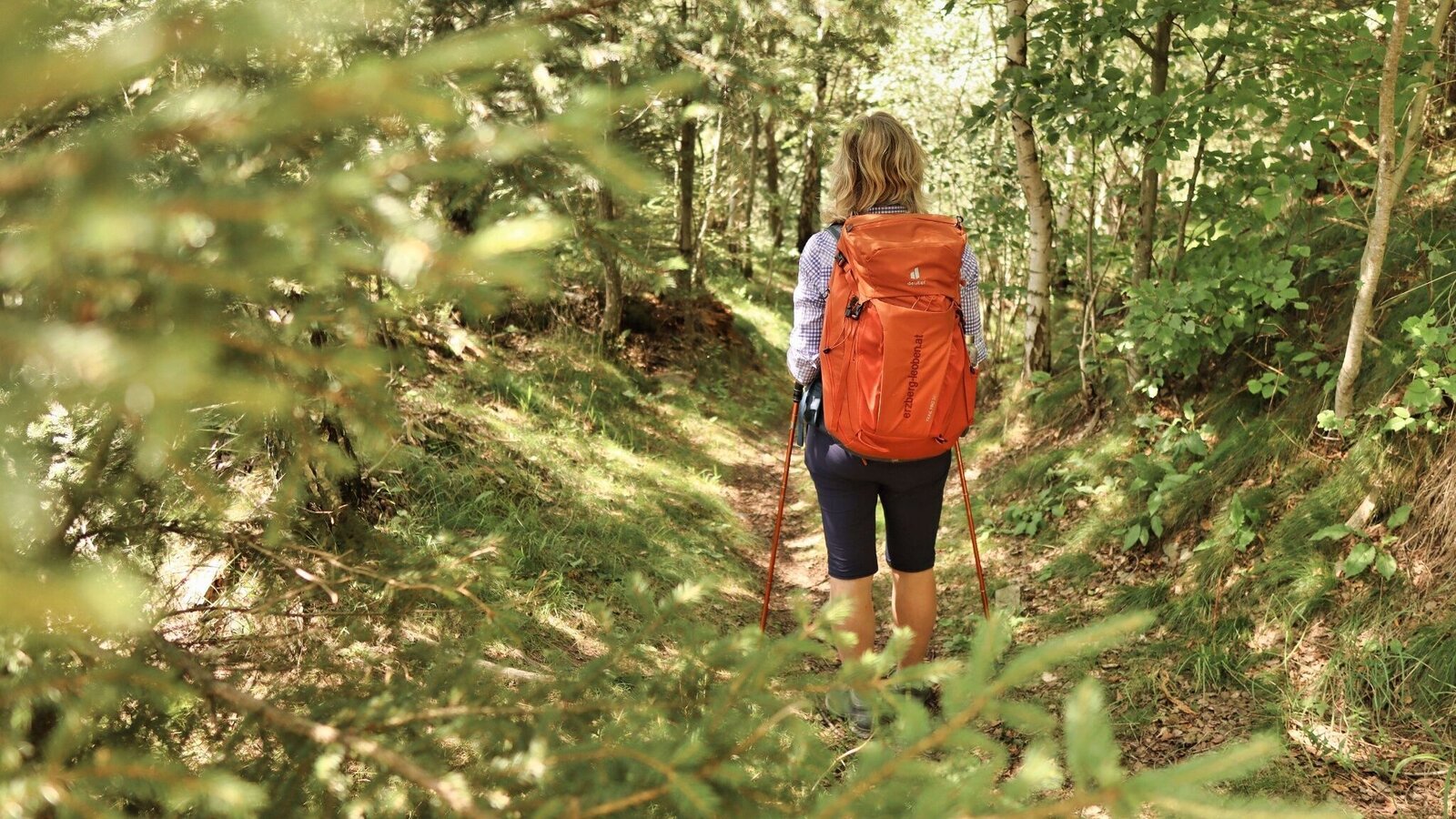
Beim Abstieg nach Kalwang | © Weges OG | Fa. WEGES OG im Auftrag der Abenteuer- und Sportregion ERZBERG LEOBEN
15/26
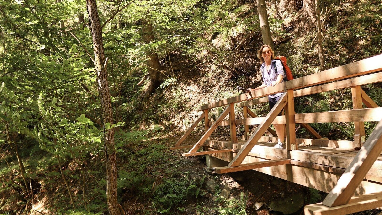
Die Brücke führt über den Graben | © Weges OG | Fa. WEGES OG im Auftrag der Abenteuer- und Sportregion ERZBERG LEOBEN
16/26
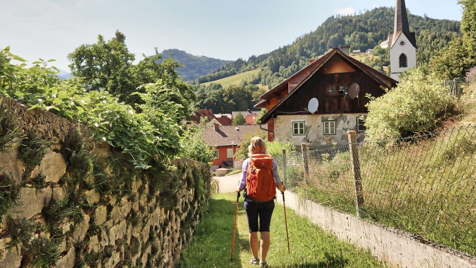
Kurz vor Kalwang | © Weges OG | Fa. WEGES OG im Auftrag der Abenteuer- und Sportregion ERZBERG LEOBEN
17/26
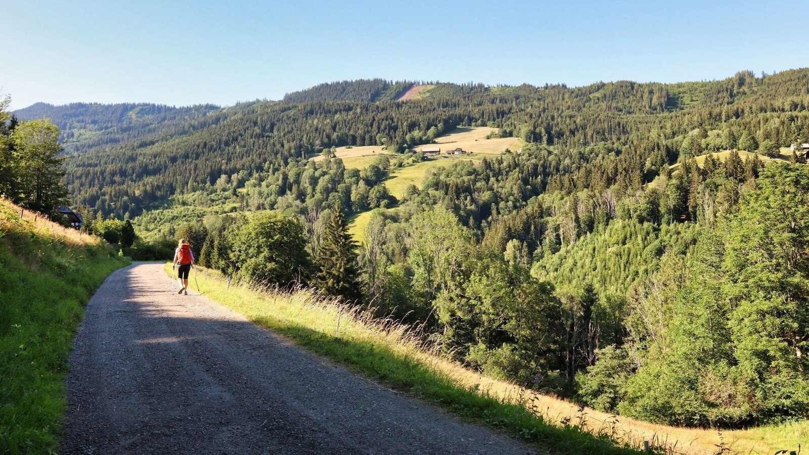
Der Weg in die Melling führt kontinuierlich bergauf | © Weges OG | Fa. WEGES OG im Auftrag der Abenteuer- und Sportregion ERZBERG LEOBEN
18/26
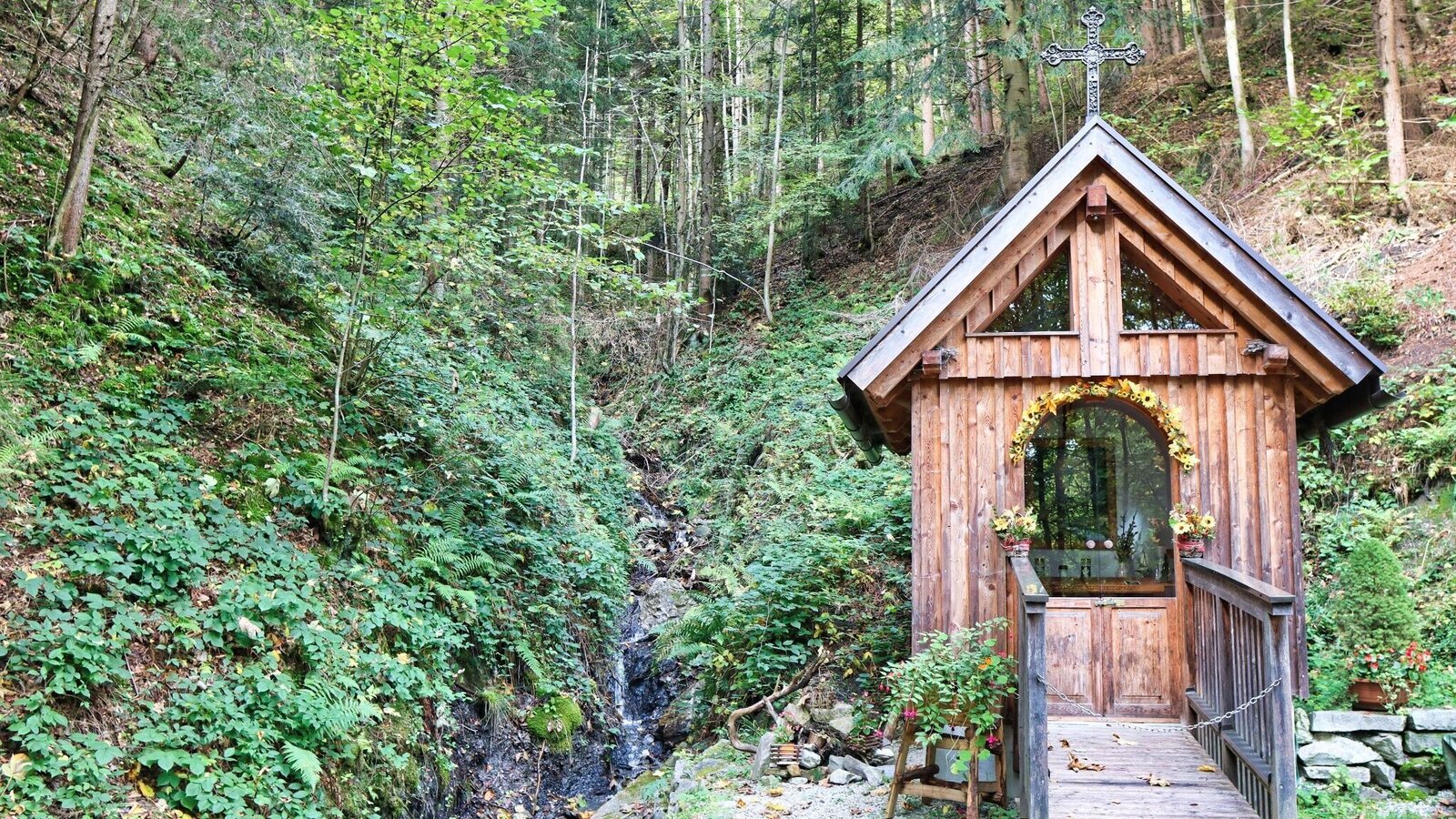
Materl am Weg | © Weges OG | Fa. WEGES OG im Auftrag der Abenteuer- und Sportregion ERZBERG LEOBEN
19/26
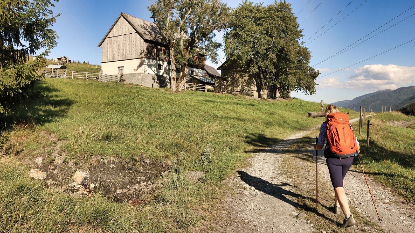
Der Weg führt beim Gehöft vlg. Reisacher vorbei | © Weges OG | Fa. WEGES OG im Auftrag der Abenteuer- und Sportregion ERZBERG LEOBEN
20/26
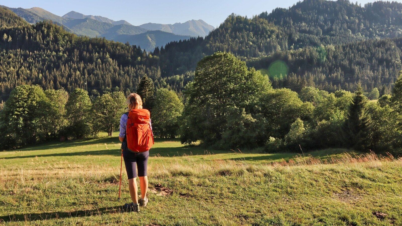
Ausblick auf die Seckauer Tauern | © Weges OG | Fa. WEGES OG im Auftrag der Abenteuer- und Sportregion ERZBERG LEOBEN
21/26
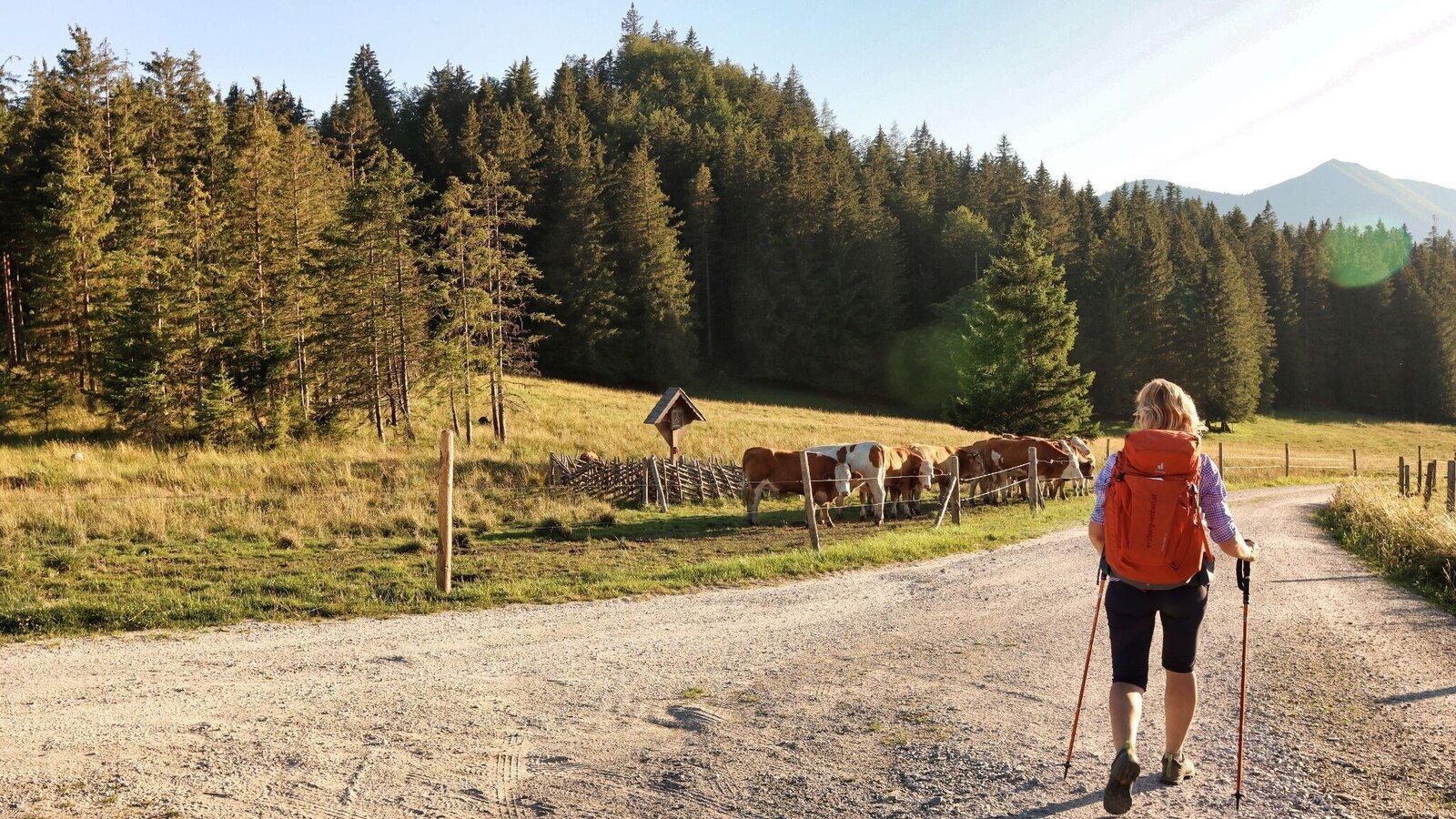
Erreicht, den Übergang auf der Mellingalm | © Weges OG | Fa. WEGES OG im Auftrag der Abenteuer- und Sportregion ERZBERG LEOBEN
22/26
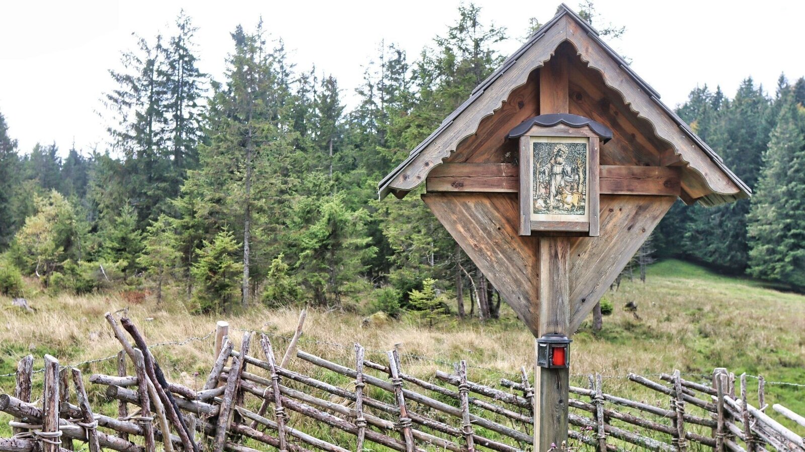
Wegkreuz | © Weges OG | Fa. WEGES OG im Auftrag der Abenteuer- und Sportregion ERZBERG LEOBEN
23/26
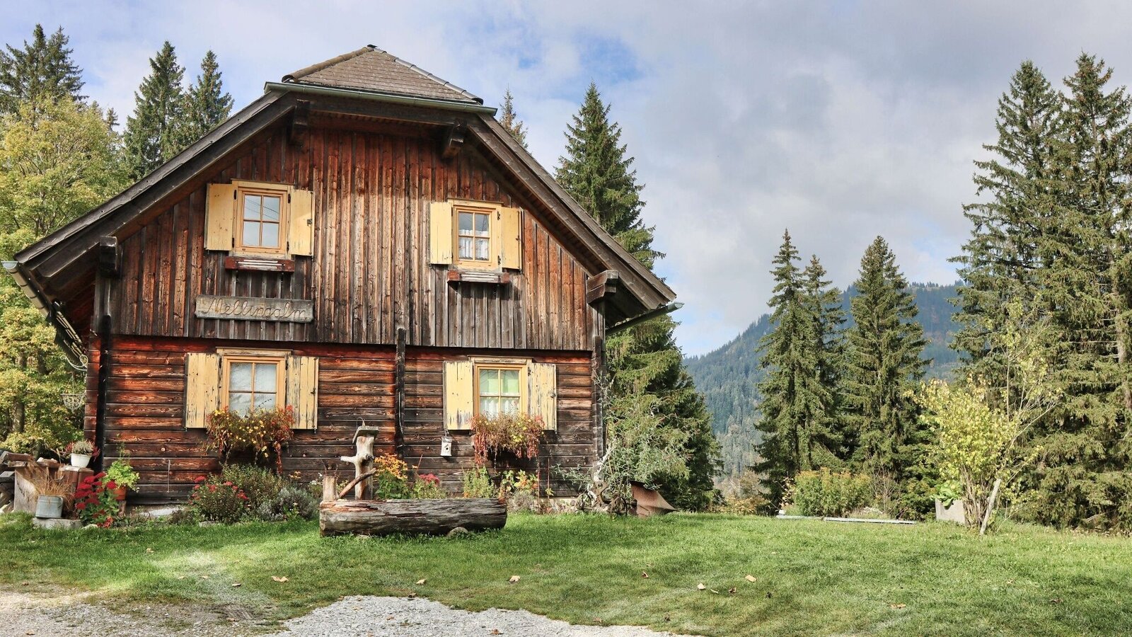
Mellingalm | © Weges OG | Fa. WEGES OG im Auftrag der Abenteuer- und Sportregion ERZBERG LEOBEN
24/26
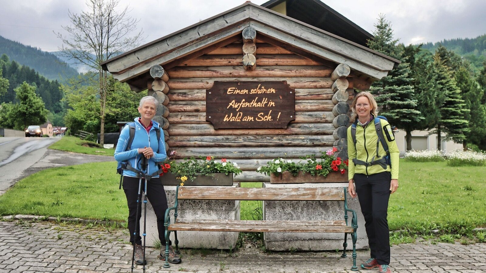
Angekommen in Wald am Schoberpass | © Weges OG | Fa. WEGES OG im Auftrag der Abenteuer- und Sportregion ERZBERG LEOBEN
25/26
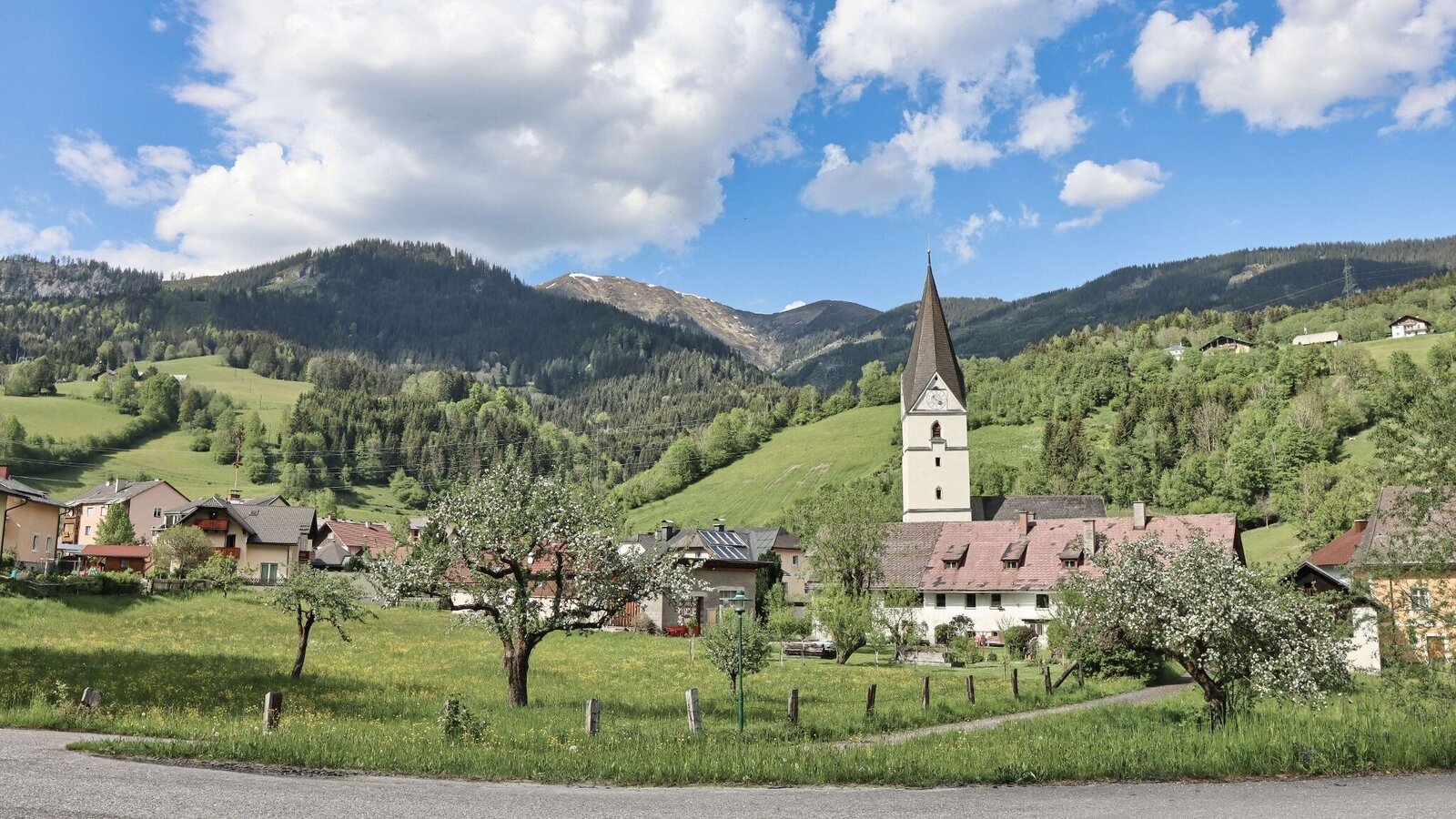
Wald am Schoberpass | © Weges OG | Fa. WEGES OG im Auftrag der Abenteuer- und Sportregion ERZBERG LEOBEN
26/26

What the weather will be like Mautern in Steiermark (710m)
Today, 25.10.2026
Starting fair, then increasing cloudiness and possibly showers towards evening.Morning

-1°C
sr.Regenwahrscheinlichkeit
0%
sr.Windstärke
0 km/h
Noon

8°C
sr.Regenwahrscheinlichkeit
55%
sr.Windstärke
10 km/h
Night

6°C
sr.Regenwahrscheinlichkeit
70%
sr.Windstärke
5 km/h
Tomorrow, 26.10.2026
Dry and partly sunny throughout the day, with cloudy periods from time to time.Morning

2°C
sr.Regenwahrscheinlichkeit
45%
sr.Windstärke
5 km/h
Noon
11°C
sr.Regenwahrscheinlichkeit
15%
sr.Windstärke
5 km/h
Night
4°C
sr.Regenwahrscheinlichkeit
0%
sr.Windstärke
5 km/h
Forecast
27.10.2026

-1°C
13°C
28.10.2026
1°C
14°C
29.10.2026
4°C
14°C
